
Search for another town




Free U.S. delivery 7 to 10 days after you order
Wiggins, Mississippi Map Art
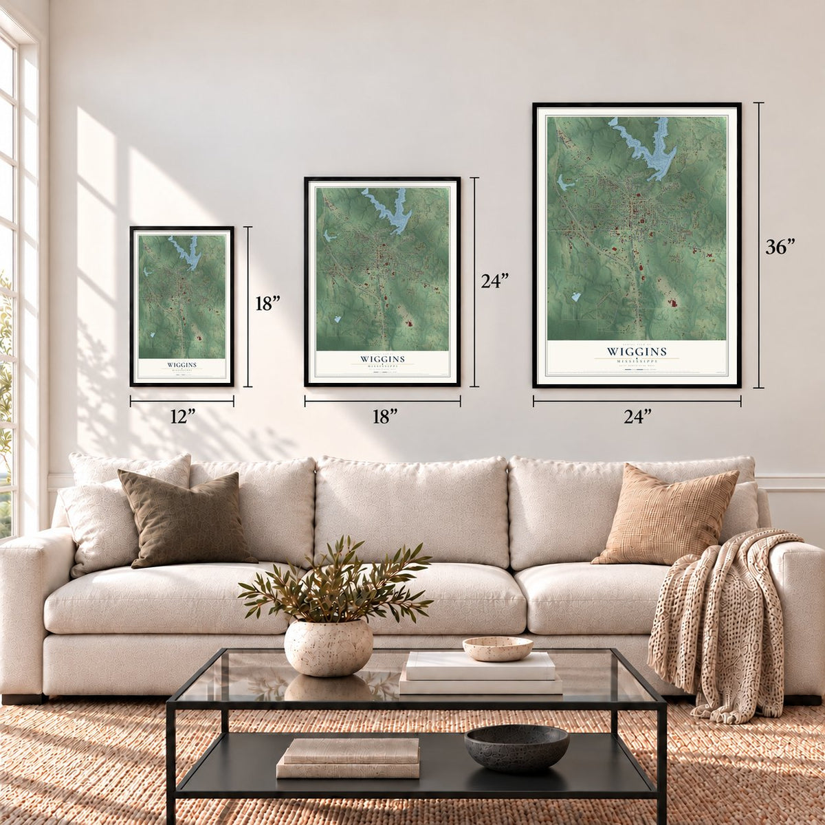
A new map of Wiggins, Mississippi, made in 2026 and printed to order on thick archival matte paper.
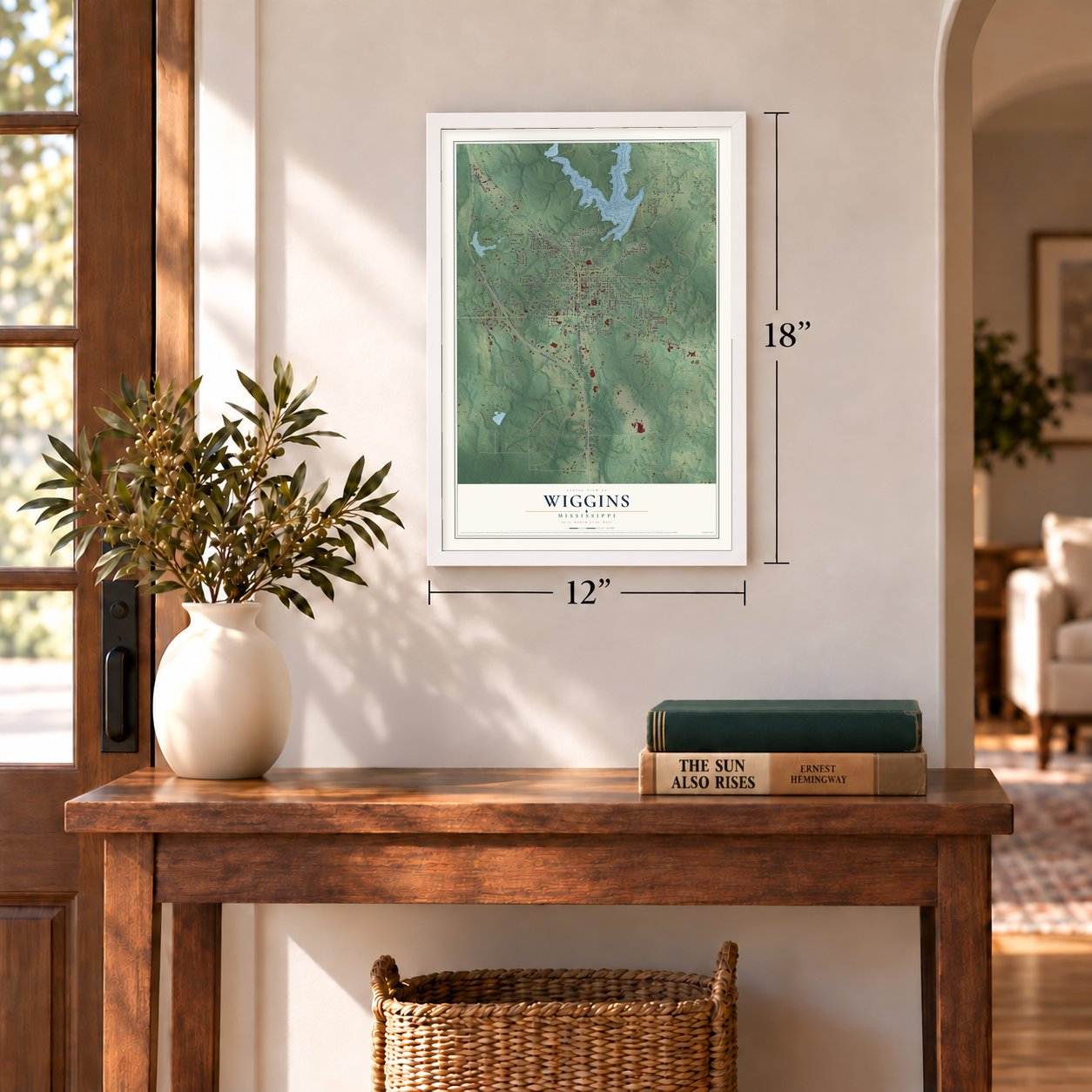
12" x 18" Archival Matte Print
A Map of Home. A Work of Art.
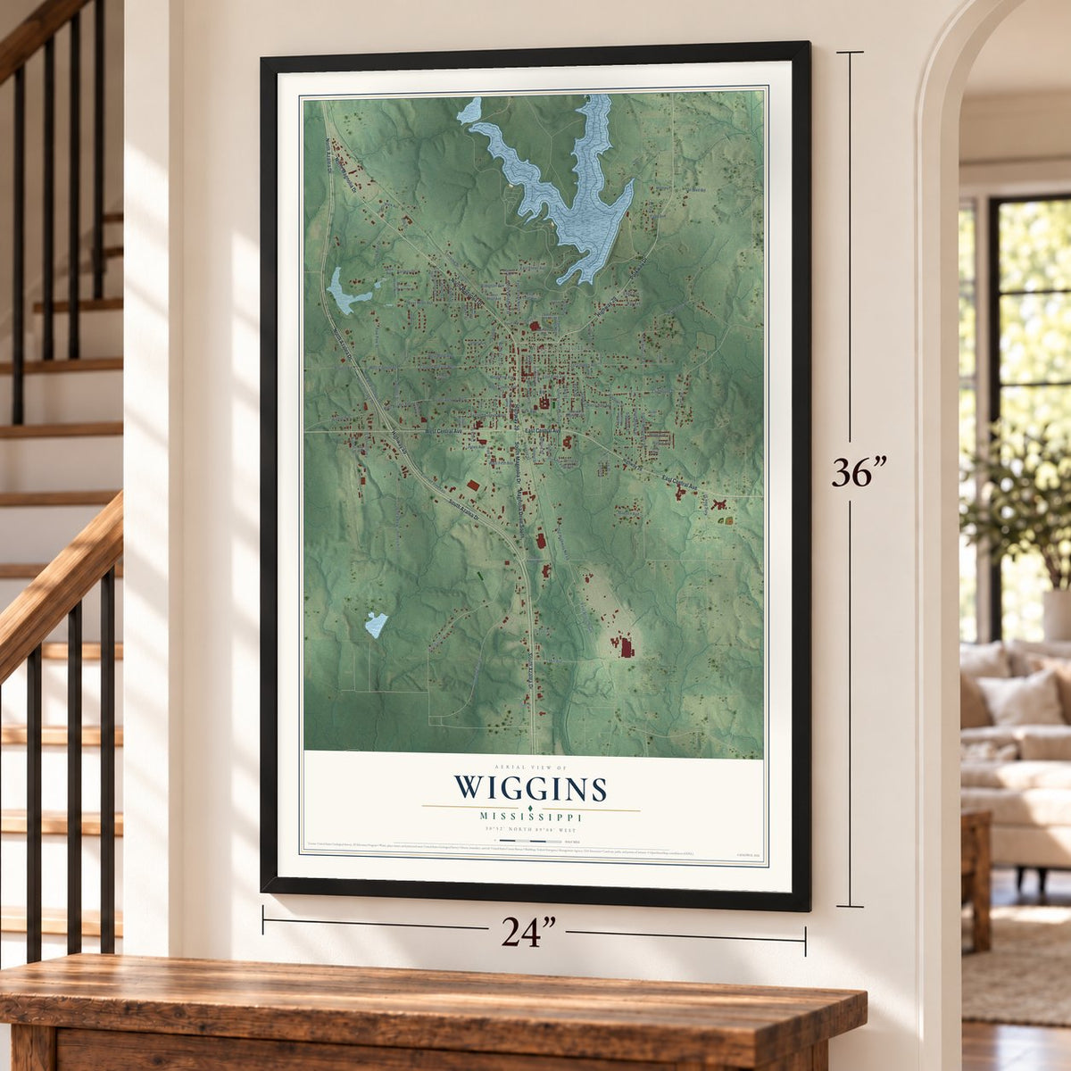
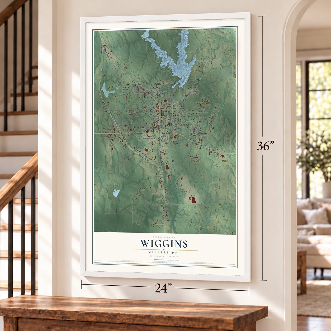
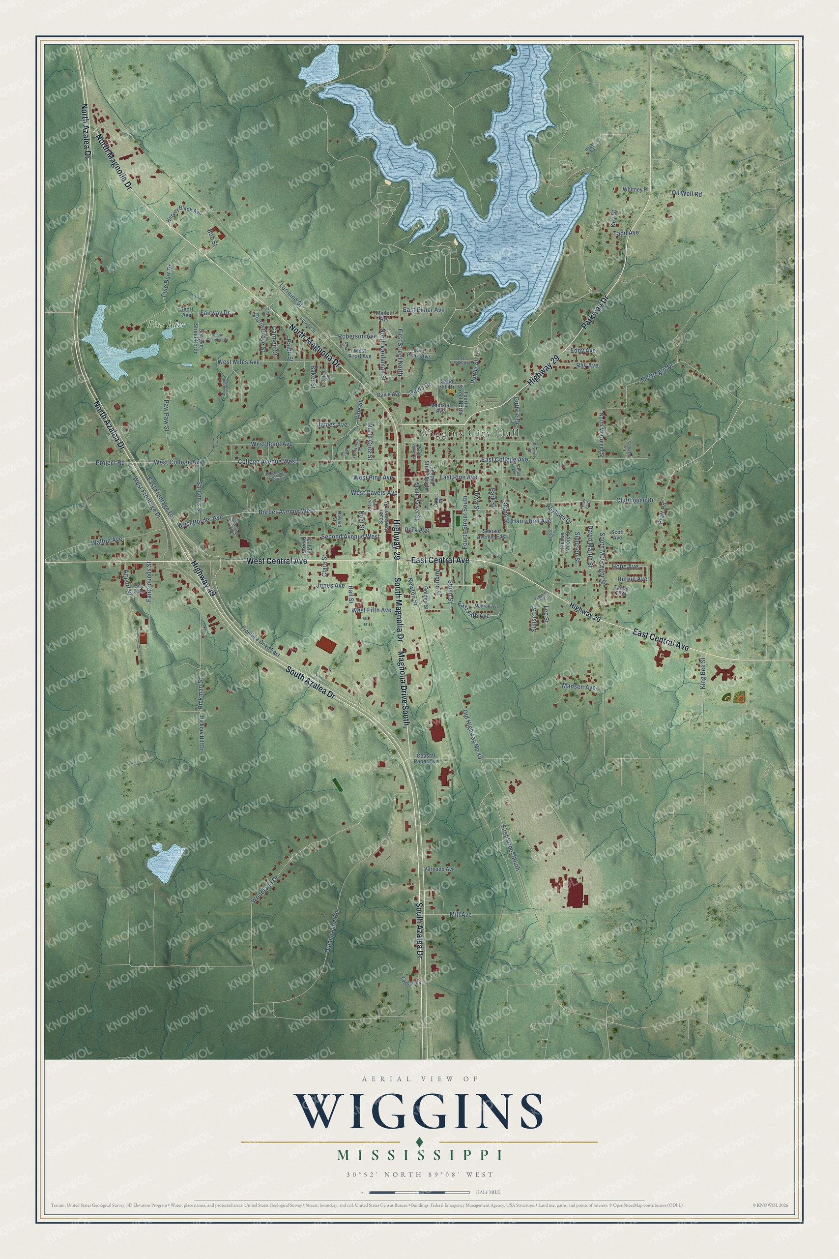
Explore Wiggins, Mississippi from a whole new perspective. Created using aerial imagery and detailed geographic data, this map captures Wiggins building by building, with labeled streets, familiar landmarks, and shaded topographical relief that highlights the natural contours of the landscape.
Combining modern data with the timeless character of a vintage atlas, this map is just as interesting up close as it is beautiful on the wall. Whether you grew up in Wiggins, spent memorable years there, or call it home today, this unique map is a great way to celebrate a place that means something to you. Zoom in on the preview to look for your street, and then order a print to put your memories on the wall.
Three ways to hang it
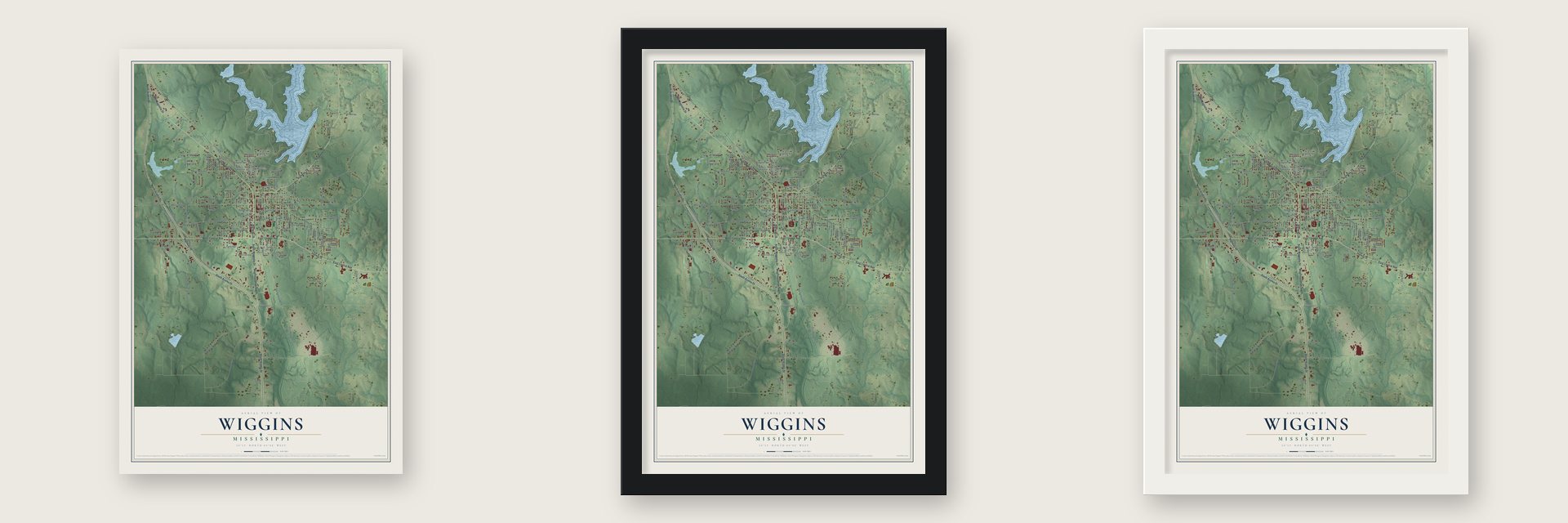
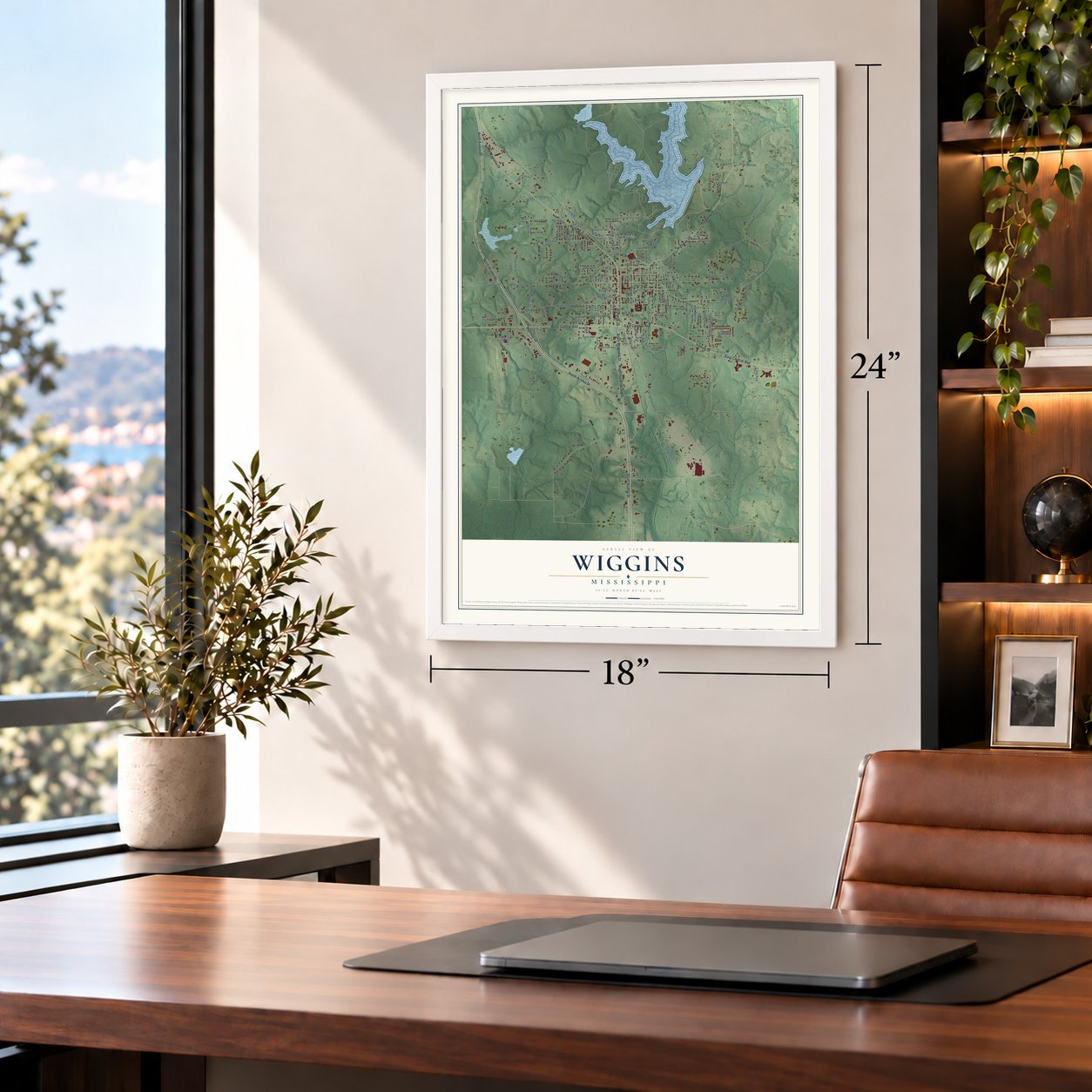
Unframed archival matte, a black wood frame or a white wood frame.
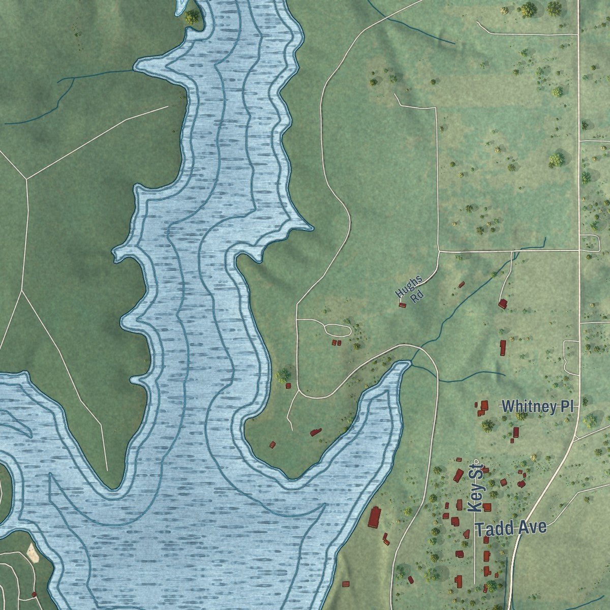
Up close
Geography Worth Displaying
This map was created using accurate cartographic data and authoritative geographic sources, including the U.S. Geological Survey and the Census Bureau. The map brings together terrain, waterways, roads, and building detail. The majority of the streets are labeled, houses are accurately depicted, and the topography is derived from government sources. Combining local data with carefully composed color and shading leads to this beautifully detailed Wiggins artwork for your wall.
Rather than simply showing street outlines, we’ve included as many of the street names as we could reasonably fit on the map while keeping their names legible. Zoom in on the high resolution preview to see exactly what’s on the map. We truly set out to create a statement piece for anyone who loves Wiggins. So whether it’s for you, or a gift for someone you love, we hope this map of Wiggins brings back fond memories.
Read the story behind this map of Wiggins, Mississippi from 2026.

About Wiggins, Mississippi
Wiggins is a city of 4,272 people and the county seat of Stone County, in South Mississippi near the Gulf Coast. It takes its name from Wiggins Hatten, whose son Madison Hatten was among the first homesteaders here. The town was incorporated in 1904 and grew quickly with the timber boom of the early 1900s, and the 1910 census counted 980 residents. The Finkbine Lumber Company once kept its headquarters in Wiggins.
On January 21, 1910, between 11 am and 1 pm, a fire of unknown cause broke out in the Hammock Building, a lodging house, and strong northwest winds pushed it through more than half of the business district. The town had no fire department and no waterworks, so residents fought back with bucket brigades and dynamite and held the flames east of the Gulf and Ship Island Railroad. By the end, 41 businesses were lost, the railroad depot among them, but only two or three homes burned because most houses stood away from downtown.
- Pine Hill rose from the ashesAfter the 1910 fire, a new downtown grew up on both sides of Pine Avenue, a one-block slope running east from Highway 49 and Railroad Street. Its brick shops, built side by side, held drug stores, a movie theater, 5 & dime stores, barber shops, cafes, the county library and the post office. Pine Hill stayed the center of trade until the late 1960s, when U.S. Route 49 bypassed downtown and many businesses moved elsewhere in Wiggins.
- The Pine Hill FestivalWiggins High School and its elementary school once stood at the foot of Pine Hill. Both were razed in the 1970s, and Blaylock Park took their place. In the 1980s, business leaders from the city and county launched Pine Hill Day to lift community spirit and draw visitors, offering local crafts, farm produce and home cooking.
- Pickles and pineWiggins has long been known for its pickles, and the town once claimed the largest pickle processing plant in the world. That plant has since closed. Timber has also slipped from its boom years, but it still keeps many Wiggins businesses going.
- First Black mayor in 2021Darrell Berry served 12 years as an elected Wiggins alderman, across three mayoral terms. He became mayor pro tem in November 2020, then interim mayor in January 2021 after the sitting mayor died. In June 2021 voters elected him the city's first African-American mayor, and three African Americans served on the city council at the same time.
Find your street
Names on the Wiggins map
Every name below is printed on this map. Look for your street, your school, the park where you played, or the pond down the road.
Places and landmarks2
- Wiggins City Hall
- Pine Burr
Streets and roads137
- South Azalea Drive
- Highway 49
- North Azalea Drive
- East Central Avenue
- West Central Avenue
- South Magnolia Drive
- Highway 29
- Parkway Drive
- North Magnolia Drive
- Magnolia Drive South
- Fourth Street South
- East Pine Avenue
- West Pine Avenue
- Clubhouse Drive
- Hall Street
- McGregor Drive
- Old Highway No 49
- College Avenue West
- Davis Drive
- First Street South
- South McGregor Street
- Woodland Drive
- Border Avenue West
- West Border Avenue
- Second Avenue West
- Hickman Street
- Dummy Line Road
- West College Avenue
- East College Avenue
- West Frontage Drive
Show all 137 streets
- East Frontage Drive
- Mill Avenue
- First Street North
- West Bond Avenue
- West Miles Avenue
- North Vardaman Street
- Stapp Street
- Fairgrounds Street
- Pine Burr Drive
- Airport Street
- Paw Paw Street
- Lorraine Street
- Iowa Street
- Vine Street
- Sunset Street
- Walton Avenue
- Park Street
- North Critz Street
- Roberson Avenue
- West Fifth Avenue
- Noel Street
- Clara Street
- Park Avenue
- Rayburn Drive
- Sargents Street
- East Fifth Avenue
- Stulin Street
- Oil Well Road
- Bob Street
- Tadd Avenue
- Pratt Road
- Gloria Grove Street
- West Cavers Avenue
- Simpson Street
- Madsen Avenue
- Auburn Street
- Newton Street
- Ray Avenue
- King Bee Street
- Guthrie Drive
- Key Street
- Harry Hall Avenue
- East Elmer Avenue
- Hope Avenue
- Ruthie Avenue
- David Martin Street
- James Avenue
- Project Road
- Jones Avenue
- Ralph Street
- Lee Street
- Fairway Drive
- Carmen Court
- Eddy Avenue
- Baker Street
- Purvis Street
- Highway 26
- Fourth Street North
- Sand Hill Drive
- North McGregor Street
- Frontage Drive East
- Court Street
- South Vardaman Street
- Stevon Moore Street
- Harvey Black Avenue
- Coastal Paper Avenue
- Davis Avenue
- Sargent Street North
- Golden Street
- South Parker Street
- Calvin Dees Street
- Second Avenue East
- Madison Avenue
- West Pearl Avenue
- Hickory Hill Drive
- Scott Avenue
- Second Street South
- East Pearl Avenue
- Varnado Avenue
- Tamar Trail
- Whitney Place
- Mallett Avenue
- Coy Avenue
- Short Avenue
- Elizabeth Street
- Holleman Street
- Colville Street
- Monroe Avenue
- Rutledge Road
- Howard Street
- Annis Lane
- North Parker Street
- South Critz Street
- Harrison Street
- Whispering Hollow Street
- Doctor Campbell Drive
- East Miles Avenue
- Dorothy Street South
- Fay Walters Street
- Elmer Avenue
- Pecan Boulevard
- Ashwood Street
- Reynolds Street
- Finkbine Street
- Dora Street
- Myrtle Street
- Hughs Road
Names are listed as they appear on the printed map. Zoom into the product photos to find them.
The art of mapping a place
How This Map Was Made
Real places. Remarkable detail. Discover the layers that turn geographic data into a map of home.

The view from above
Aerial imagery reveals the character of the land: woodland, open fields, and the patterns of a place.

The shape of the land
Elevation data brings hills, valleys, and subtle changes in the landscape into view.

The details of home
Roads, waterways, and building footprints come together to make the map feel unmistakably local.

Geography becomes art
Considered color, shading, and typography bring the layers together in a map made for your wall.


Process illustrated with Mendon, Massachusetts. Aerial imagery: USDA NAIP. Terrain: USGS 3D Elevation Program. Map details and finished artwork: KNOWOL.
The Details
About This Print
Choose an archival matte print, or a black or white Ayous wood frame. The archival matte print is unframed.
Select your size and finish above to see the matching product image and price.
Materials & Craftsmanship
A contemporary map with the character of a classic atlas, printed on archival matte paper. Optional frames are made from Ayous wood.
Your printed map does not include the watermark shown in the full-map preview.
Shipping & Delivery
Free shipping within the United States. Every print is made to order in the USA.
Buying a gift? Add a note in your cart and we'll include it. We never put prices in the package.
Prints ship within 2 to 3 business days. Allow 7 to 10 days total from ordering for delivery. Timing may vary during holidays or periods of high order volume.
Read our shipping policy.
Returns and damaged prints
Each print is made to order. Change-of-mind refunds are not available after production.
If your print arrives damaged, misprinted or incorrect, contact support@knowol.com within 30 days of receiving it. Include your order number, photos and a description of the issue.
Read our full refund and replacement policy. For questions about your order, email support@knowol.com.
Find your town
Looking for another city?
Find a map of home in our Mississippi collection, or any town in the country.
Nearby
Maps of towns near Wiggins
Know someone from one of these towns? Their map makes a great gift.
 Bond
Bond, Mississippi
From $39.99See the map
 Saucier
, Mississippi
From $39.99See the map
 Benndale
, Mississippi
From $39.99See the map
More maps nearby: Lumberton, Poplarville, Leaf, Lyman and New Augusta.