
Search for another town



Free U.S. delivery 7 to 10 days after you order
Wilton, New Hampshire Map Art
Building by building, with labeled streets and shaded relief.
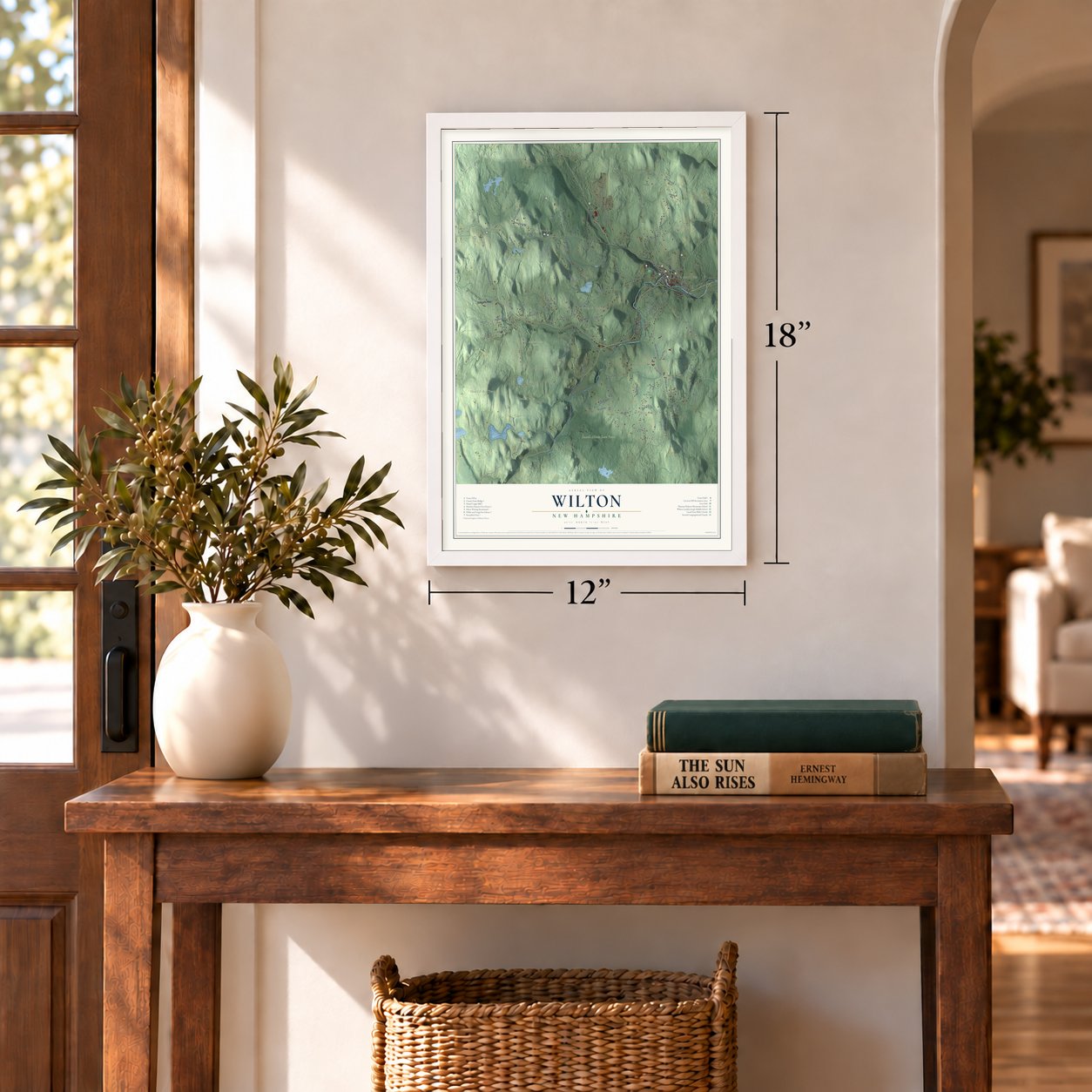
12" x 18" Archival Matte Print
A Map of Home. A Work of Art.
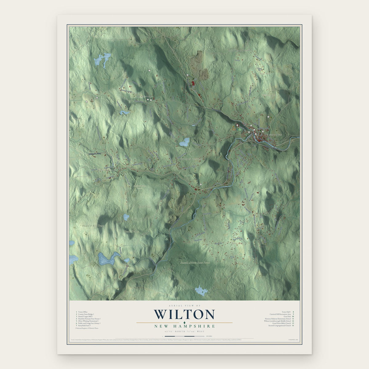
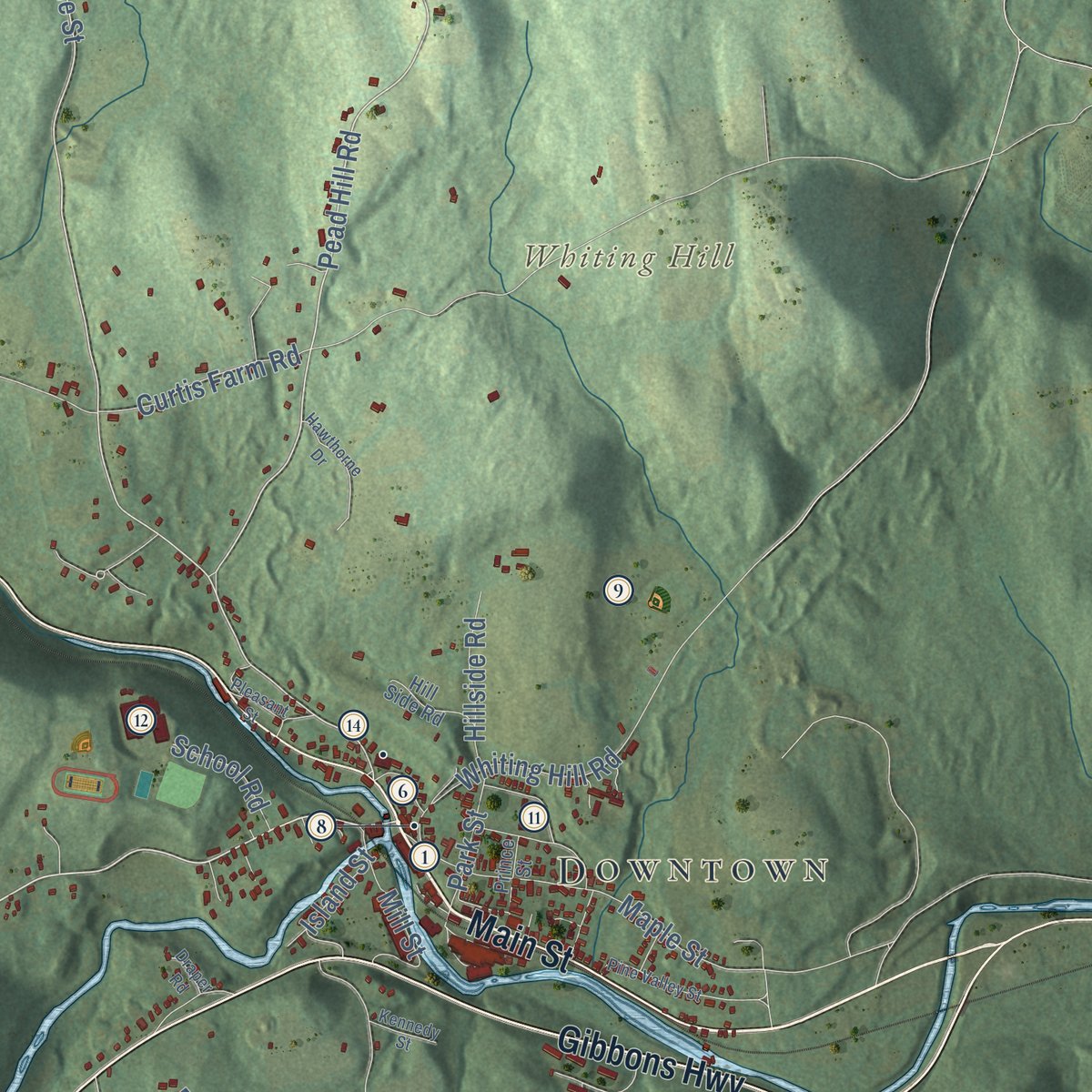
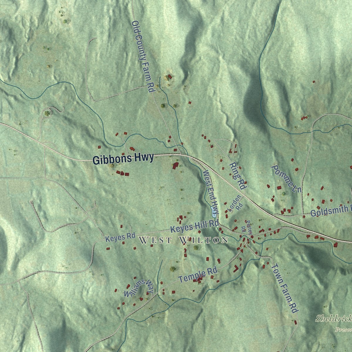
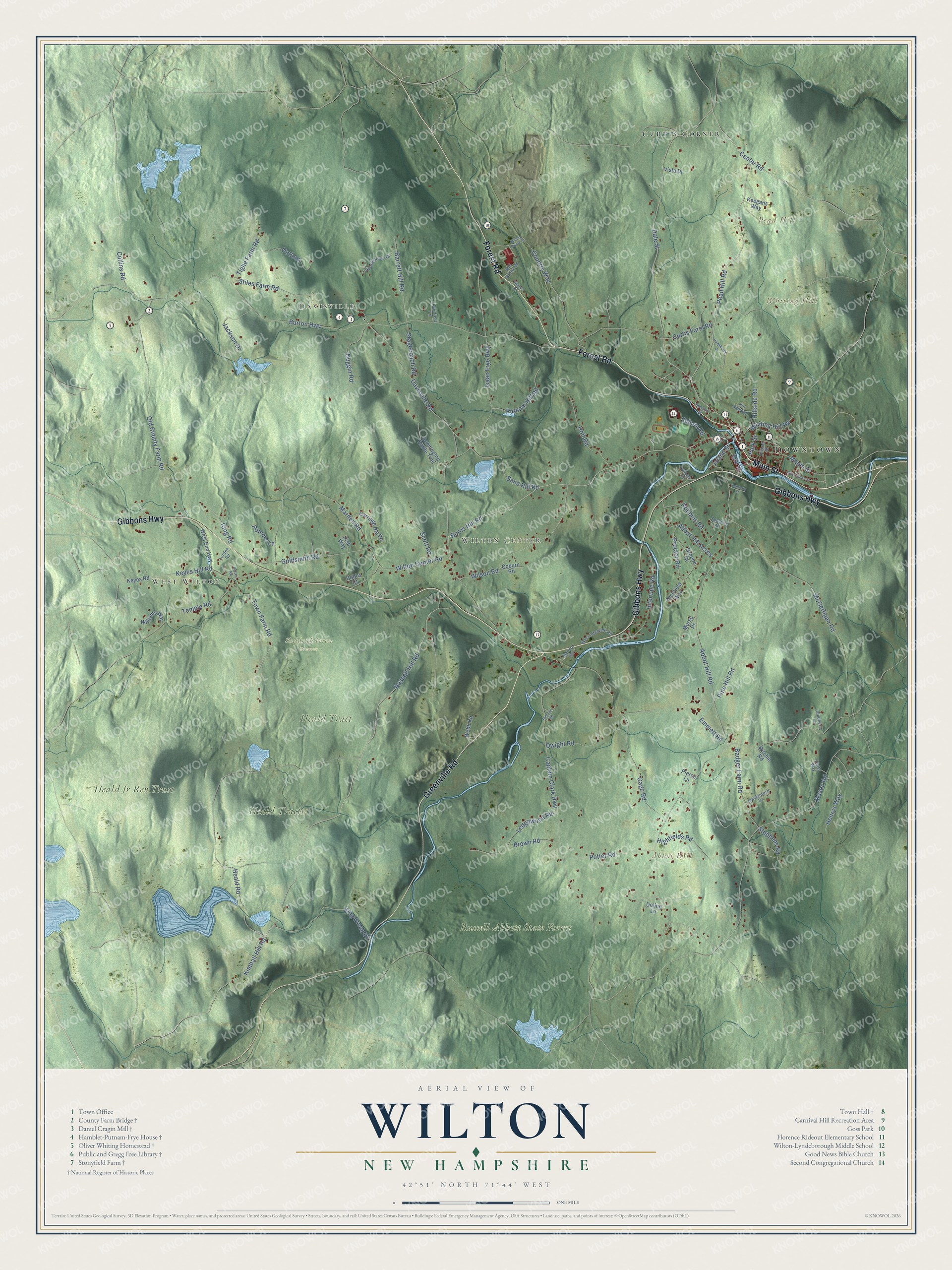
Explore Wilton, New Hampshire from a whole new perspective. Created using aerial imagery and detailed geographic data, this map captures Wilton building by building, with labeled streets, familiar landmarks, and shaded topographical relief that highlights the natural contours of the landscape.
Combining modern data with the timeless character of a vintage atlas, this map is just as interesting up close as it is beautiful on the wall. Whether you grew up in Wilton, spent memorable years there, or call it home today, this unique map is a great way to celebrate a place that means something to you. Zoom in on the preview to look for your street, and then order a print to put your memories on the wall.
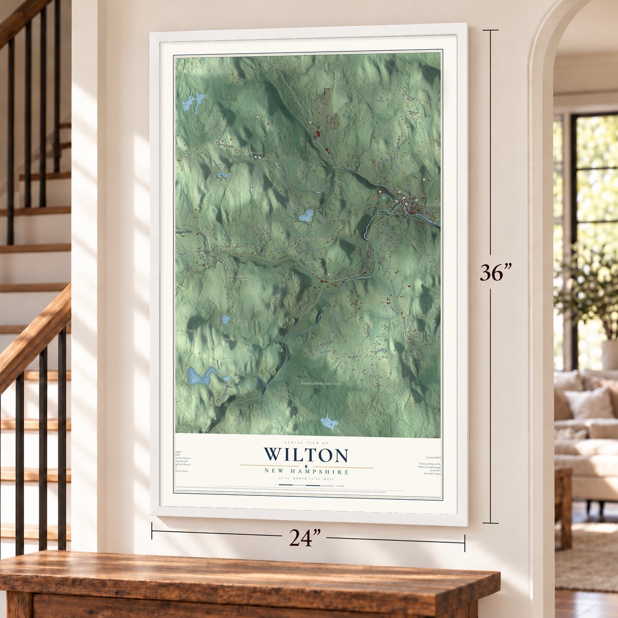
Three ways to hang it
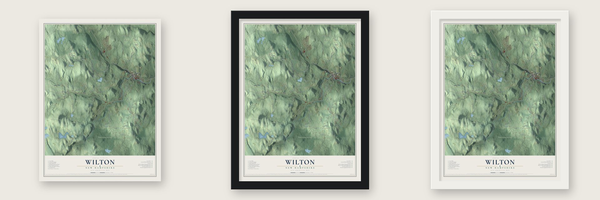
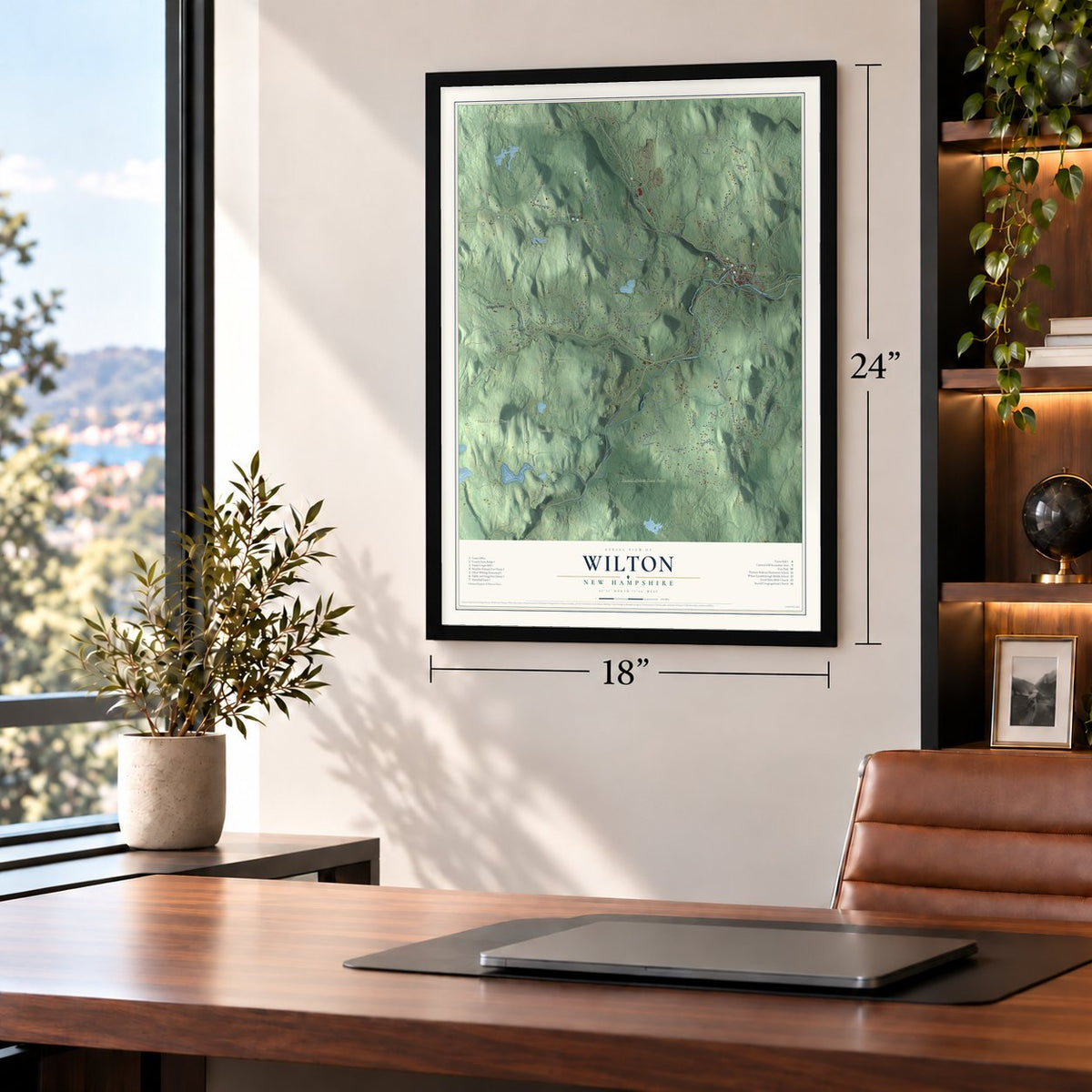
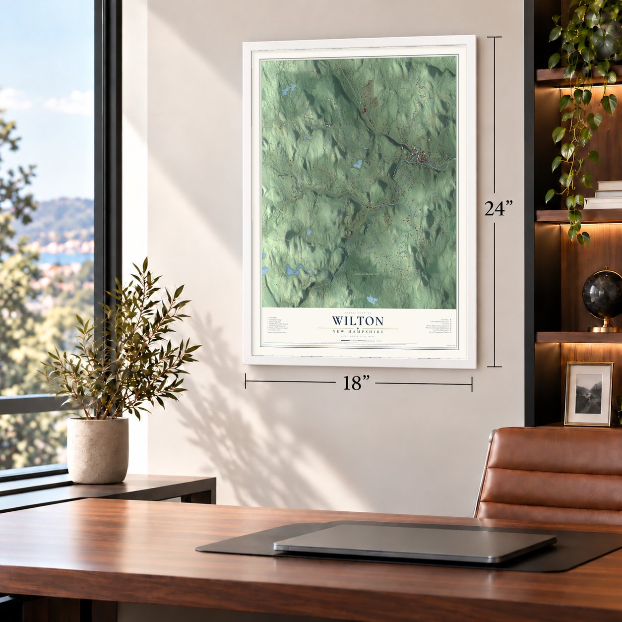
Unframed archival matte, a black wood frame or a white wood frame.
Up close
Geography Worth Displaying
This map was created using accurate cartographic data and authoritative geographic sources, including the U.S. Geological Survey (USGS) and FEMA. The map brings together terrain, waterways, roads, and building detail. The majority of the streets are labeled, houses are accurately depicted, and the topography is derived from government sources. Combining local data with carefully composed color and shading leads to this beautifully detailed Wilton artwork for your wall.
Rather than simply showing street outlines, we’ve included as many of the street names as we could reasonably fit on the map while keeping their names legible. Zoom in on the high resolution preview to see exactly what’s on the map. We truly set out to create a statement piece for anyone who loves Wilton. So whether it’s for you, or a gift for someone you love, we hope this map of Wilton brings back fond memories.
Explore the full map of Wilton, New Hampshire and read about the local places it shows.
Find your street
Names on the Wilton map
Every name below is printed on this map. Look for your street, your school, the park where you played, or the pond down the road.
Places and landmarks13
- Downtown
- Davisville
- West Wilton
- Wilton Center
- Abbot Hill
- Pead Hill
- Whiting Hill
- Heald Tracts
- Russell-Abbott State Forest
- Heald Jr Rev Trust
- Heald Tract
- Sheldrick Forest Preserve
Show all 13 places
- Curtis Corner
Streets and roads103
- Main Street
- Gibbons Highway
- Forest Road
- Greenville Road
- Burns Hill Road
- Kimball Hill Road
- Russell Hill Road
- Pead Hill Road
- Dale Street
- Abbot Hill Road
- Isaac Frye Highway
- Burton Highway
- Captain Clark Highway
- Mason Road
- Curtis Farm Road
- Marden Road
- Old County Farm Road
- Temple Road
- McGettigan Road
- Wilson Road
- Davisville Road
- Town Farm Road
- King Brook Road
- Gage Road
- Country Way
- Intervale Road
- Sand Hill Road
- Wilton Center Road
- Heald Road
- Dwight Road
Show all 103 streets
- Brown Road
- Duggin Road
- Proctor Road
- Goldsmith Road
- Potter Road
- Whiting Hill Road
- Jackson Drive
- Abbot Hill Acres
- Badger Farm Road
- Maple Street
- Holt Road
- Keyes Hill Road
- Stiles Farm Road
- Barrett Hill Road
- Robbins Road
- Putnam Hill Road
- Ring Road
- Collins Road
- Henrys Way
- Highfields Road
- Ledgewood Road
- Center Road
- Stagecoach Road
- Outlook
- Tighe Farm Road
- Pine Hill Road
- Emmett Road
- Island Street
- Mill Street
- Hillside Road
- Scott Road
- Stephens Road
- Park Street
- School Road
- Pomme Lane
- Keyes Road
- West End Highway
- Carriage Hill Road
- Bennington Battle Trail
- Greene Street
- Williams Way
- Webb Road
- Richfield Way
- Coburn Road
- Keegans Way
- Duling Lane
- Hobbs Court
- Vista Drive
- Morse Drive
- Ritchie Road
- Irish Way
- Pierce Lane
- Hearthstone Drive
- Mill Brook Road
- West Intervale Road
- Mansur Road
- Fairfield Lane
- Mackintosh Drive
- Blueberry Lane
- Hill Side Road
- Celts Way
- Prince Street
- Spalding Drive
- Lorden Road
- Stoney Brook Drive
- Pine Valley Street
- Hawthorne Drive
- Rideout Road
- Waters Road
- Kennedy Street
- Pleasant Street
- Pettey Road
- Draper Road
Names are listed as they appear on the printed map. Zoom into the product photos to find them.
About Wilton, New Hampshire
Wilton is a town of 3,896 people in Hillsborough County. Its main village grew up where Stony Brook flows into the Souhegan River. In 1735 Governor Jonathan Belcher of Massachusetts chartered the land as part of Salem-Canada. That township went to Salem men who had fought under Sir William Phips against Canada in 1690. In 1749 Benning Wentworth of New Hampshire made a fresh grant of the land, calling it Number Two, and the town took the name Wilton when it was incorporated in 1762.
The name honored either Wilton in England or Sir Joseph Wilton, an English sculptor. His coach for the coronation of George III later became the model for the Concord coach. Water from the Souhegan turned the wheels of the town's early textile mills. Wilton later settled into a quieter life of orchards, farms and woods.
- A Sunday school in 1816In May 1816 Phebe Abbot and Sarah White Livermore started a Sunday school for the Rev. Thomas Beede's Congregational church, meeting in the Centre schoolhouse. Seventy children came that first season and studied only the Bible. It may have been the first school in the country given over entirely to religious teaching. Livermore, born in Wilton in 1789, taught school for much of her life and wrote hymns.
- Frye's Measure MillA watermill was established in 1858 three miles west of the village. It's known as the Daniel Cragin Mill and today as Frye's Measure Mill, and it offers tours. Next door, Hezekiah Hamblet probably built the Hamblet-Putnam-Frye House in the 1760s. Eliphalet Putnam bought the house in 1808 and ran the mill. Later Alice and Edmund Frye brought house and mill back together, spent summers there and kept the mill at work. Both are on the National Register.
- A stone arch from 1885The Ward brothers of Lowell, Massachusetts, known for their railroad bridges, built the County Farm Bridge in 1885 for $3,000 from Wilton granite. Its single arch, just under 18 feet wide, spans Whiting Brook in a causeway 430 feet long. The road led to the county poor farm. The county had bought Oliver Whiting's old farm for it in 1867, after the Whitings had run Wilton's biggest dairy there, and the poor farm closed in 1896.
- Smithsonian secretaryCharles Greeley Abbot was born to a Wilton farm family in 1872. He became an astrophysicist and served as the Smithsonian Institution's fifth secretary from 1928 to 1944. His research on the sun produced inventions such as a solar cooker.
- High Mowing School, 1942Beulah Hepburn Emmet founded High Mowing School in 1942 on her family's hilltop farm. She named it for an old term for a hayfield on a hill. It is the oldest Waldorf high school in the country and the only Waldorf boarding school.
Keep exploring New Hampshire
Wilton is one of 279 New Hampshire towns we've mapped. Every dot on the map is a print of its own.
The search covers every state, New Hampshire first.
Near Wilton
Order 2 or more town maps and save 10%. Shown in the size and finish you picked above, so they hang as a set.
- Lyndeborough 12" x 18" / Archival Matte Print $39.99
- Milford 12" x 18" / Archival Matte Print $39.99
- Temple 12" x 18" / Archival Matte Print $39.99

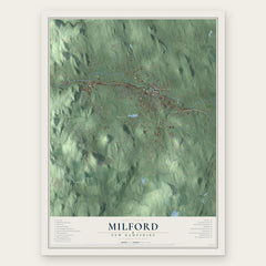

More maps nearby: Greenville, Mont Vernon, Mason, Brookline and New Ipswich.
The art of mapping a place
How This Map Was Made
Real places. Remarkable detail. Discover the layers that turn geographic data into a map of home.

The view from above
Aerial imagery reveals the character of the land: woodland, open fields, and the patterns of a place.

The shape of the land
Elevation data brings hills, valleys, and subtle changes in the landscape into view.

The details of home
Roads, waterways, and building footprints come together to make the map feel unmistakably local.

Geography becomes art
Considered color, shading, and typography bring the layers together in a map made for your wall.


Process illustrated with Mendon, Massachusetts. Aerial imagery: USDA NAIP. Terrain: USGS 3D Elevation Program. Map details and finished artwork: KNOWOL.
The Details
About This Print
Choose an archival matte print, or a black or white Ayous wood frame. The archival matte print is unframed.
Select your size and finish above to see the matching product image and price.
Materials & Craftsmanship
A contemporary map with the character of a classic atlas, printed on archival matte paper. Optional frames are made from Ayous wood.
Your printed map does not include the watermark shown in the full-map preview.
Shipping & Delivery
Free shipping within the United States. Every print is made to order in the USA.
Buying a gift? Add a note in your cart and we'll include it. We never put prices in the package.
Prints ship within 2 to 3 business days. Allow 7 to 10 days total from ordering for delivery. Timing may vary during holidays or periods of high order volume.
Read our shipping policy.
Returns and damaged prints
Each print is made to order. Change-of-mind refunds are not available after production.
If your print arrives damaged, misprinted or incorrect, contact support@knowol.com within 30 days of receiving it. Include your order number, photos and a description of the issue.
Read our full refund and replacement policy. For questions about your order, email support@knowol.com.