
Search for another town




Free U.S. delivery 7 to 10 days after you order
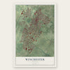
Winchester, Virginia Map Art
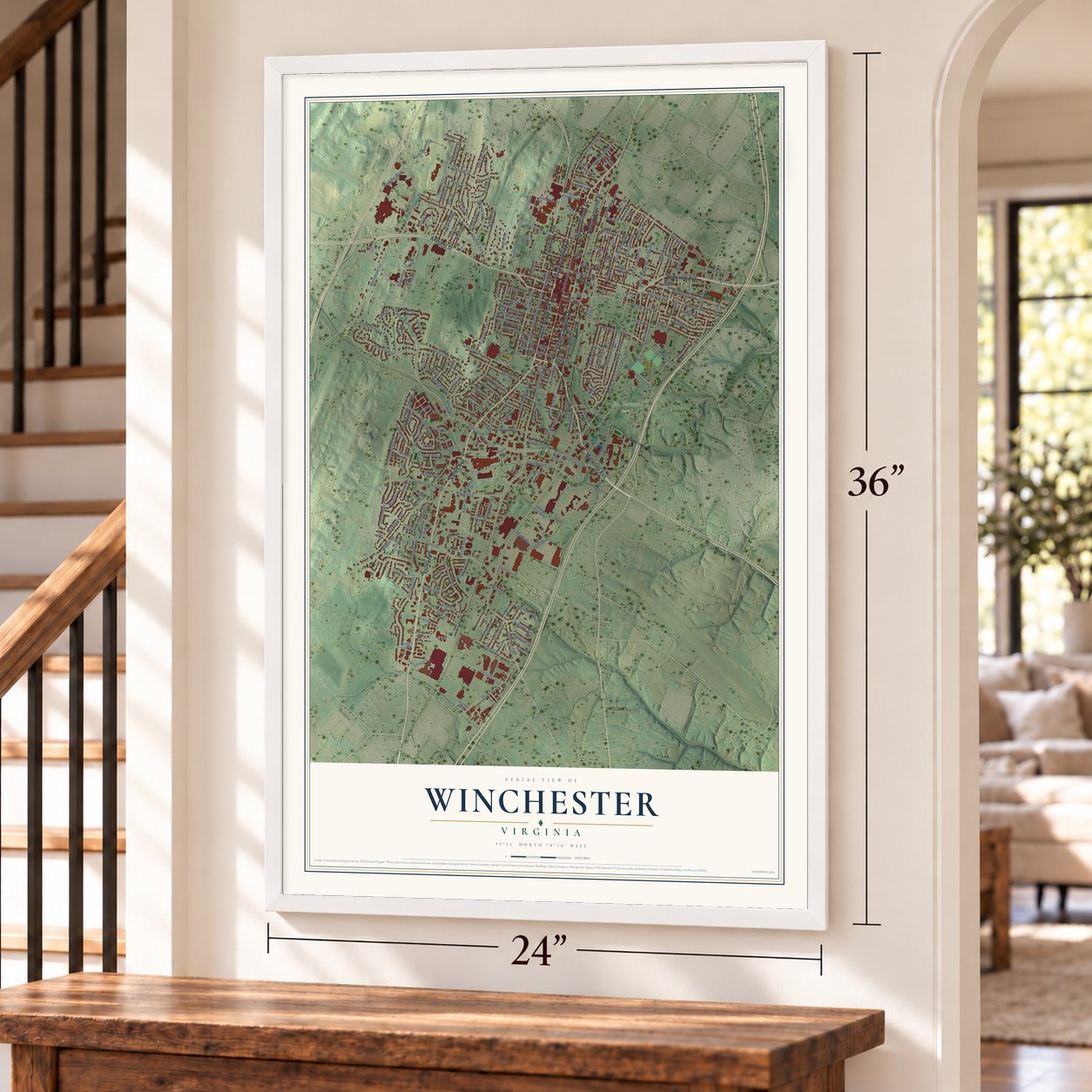
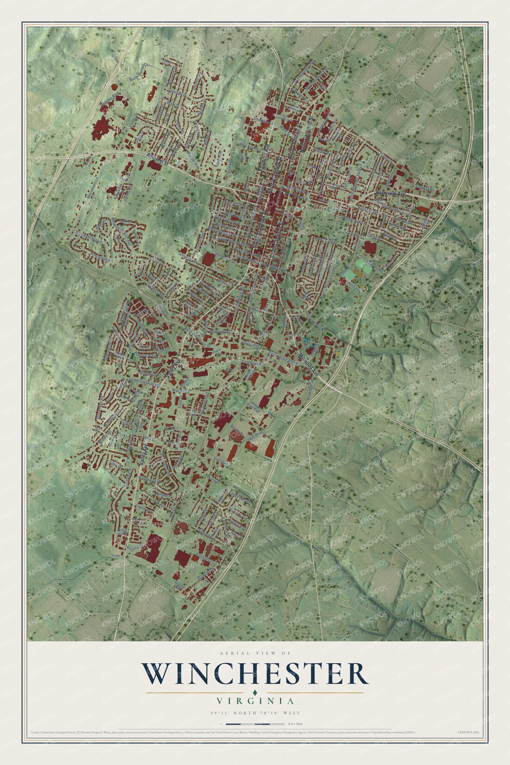
A new map of Winchester, Virginia, made in 2026 and printed to order on thick archival matte paper.
12" x 18" Archival Matte Print
A Map of Home. A Work of Art.
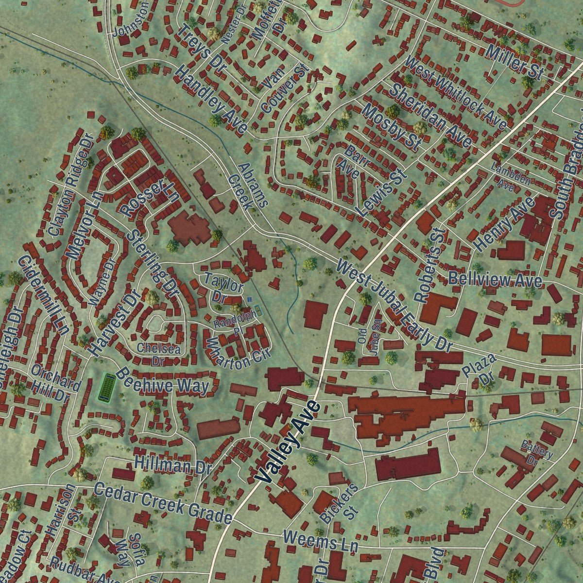
Explore Winchester, Virginia from a whole new perspective. Created using aerial imagery and detailed geographic data, this map captures Winchester building by building, with labeled streets, familiar landmarks, and shaded topographical relief that highlights the natural contours of the landscape.
Combining modern data with the timeless character of a vintage atlas, this map is just as interesting up close as it is beautiful on the wall. Whether you grew up in Winchester, spent memorable years there, or call it home today, this unique map is a great way to celebrate a place that means something to you. Zoom in on the preview to look for your street, and then order a print to put your memories on the wall.
Three ways to hang it
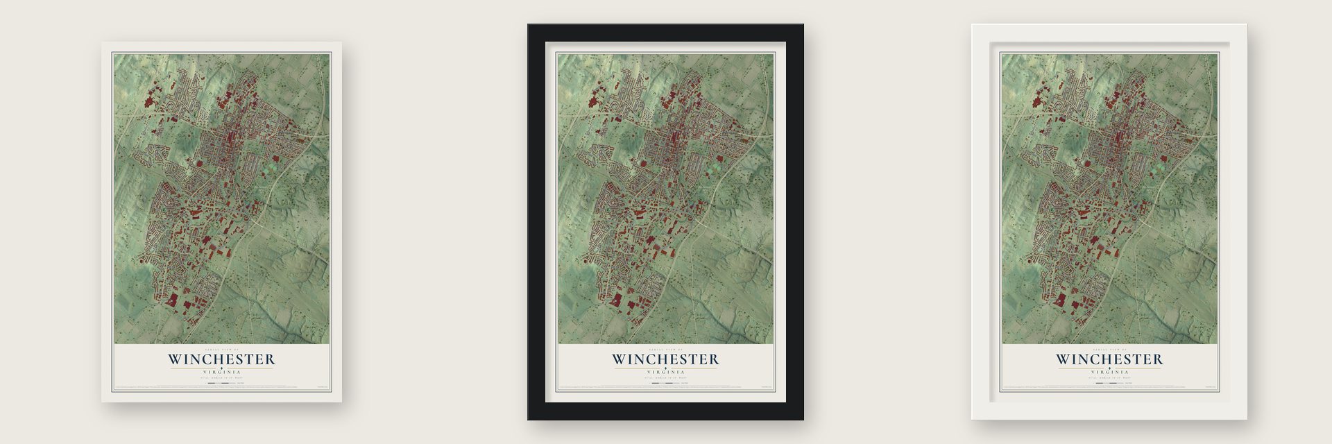
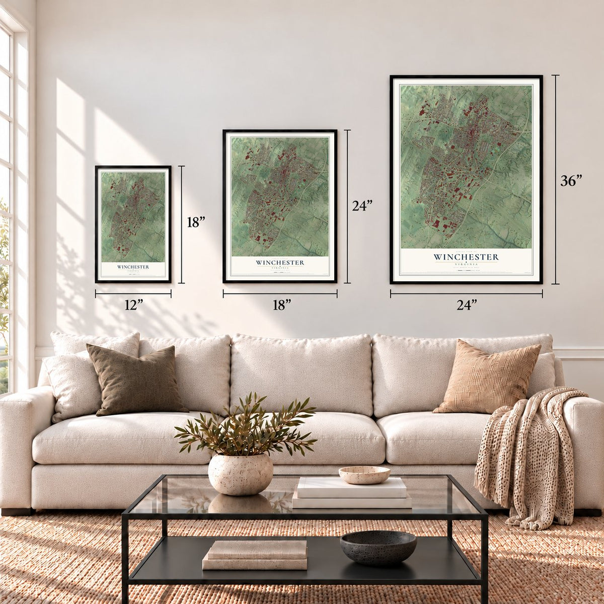
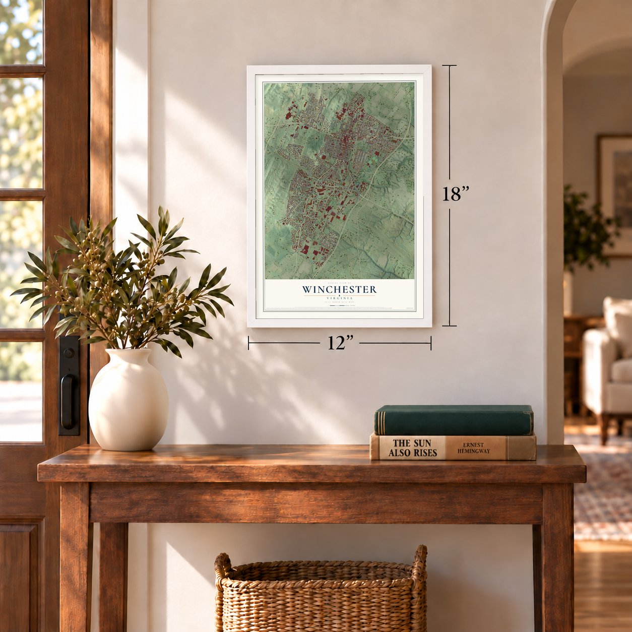
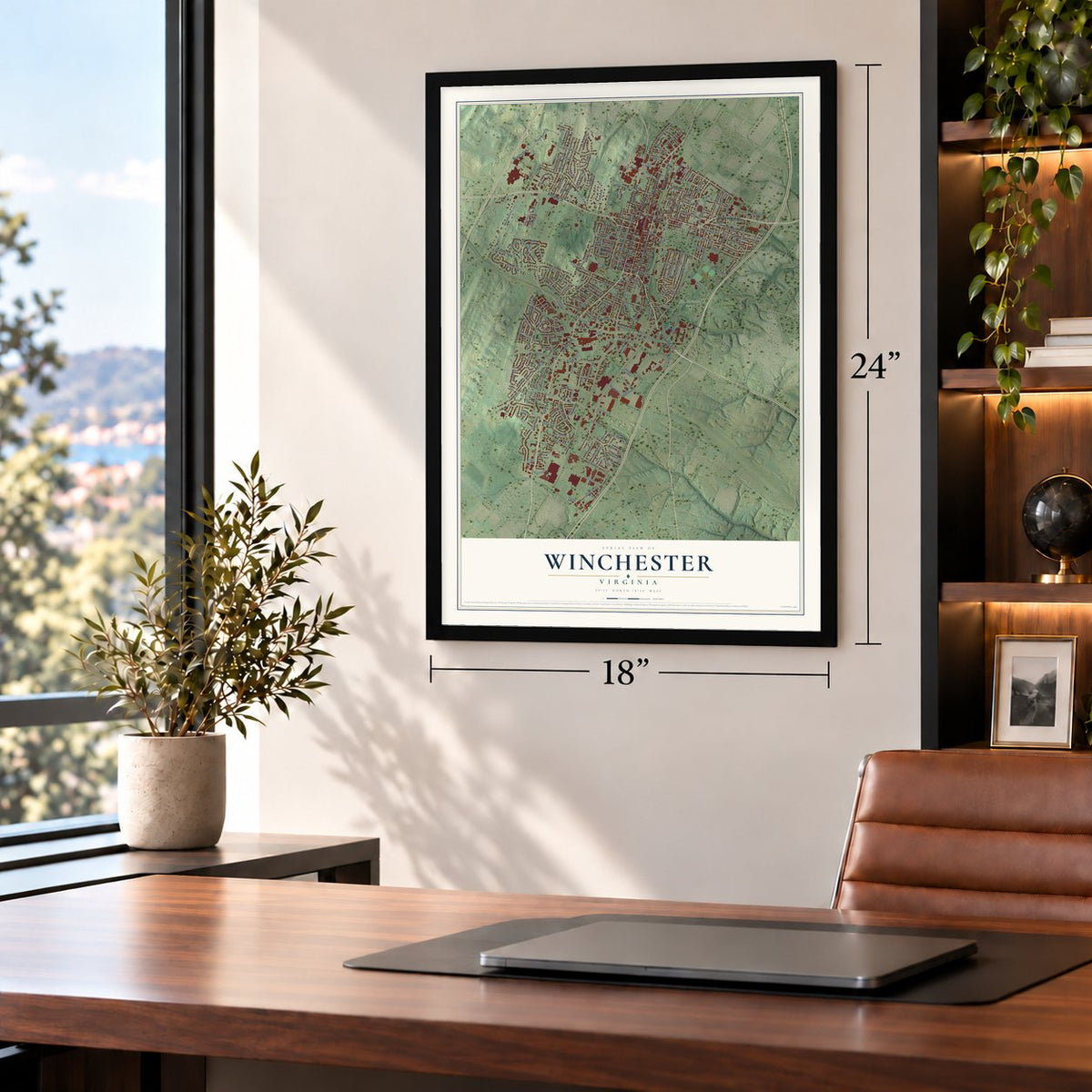
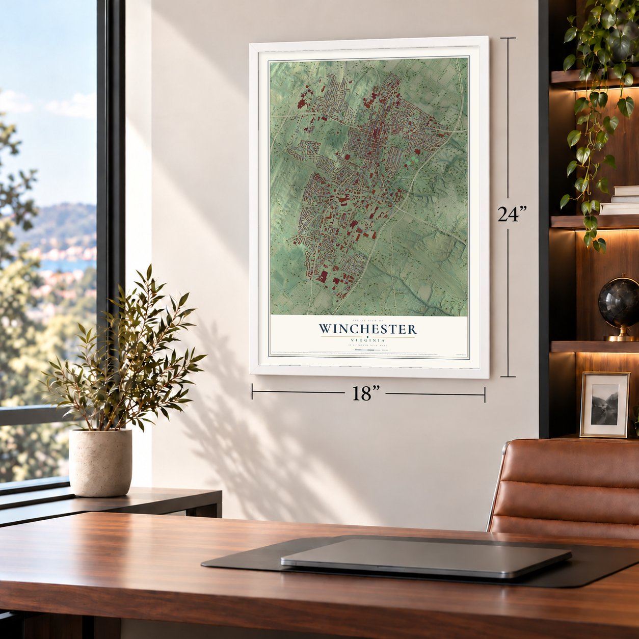
Unframed archival matte, a black wood frame or a white wood frame.
Up close
Geography Worth Displaying
This map was created using accurate cartographic data and authoritative geographic sources, including the U.S. Geological Survey and the Census Bureau. The map brings together terrain, waterways, roads, and building detail. The majority of the streets are labeled, houses are accurately depicted, and the topography is derived from government sources. Combining local data with carefully composed color and shading leads to this beautifully detailed Winchester artwork for your wall.
Rather than simply showing street outlines, we’ve included as many of the street names as we could reasonably fit on the map while keeping their names legible. Zoom in on the high resolution preview to see exactly what’s on the map. We truly set out to create a statement piece for anyone who loves Winchester. So whether it’s for you, or a gift for someone you love, we hope this map of Winchester brings back fond memories.
Read the story behind this map of Winchester, Virginia from 2026.
About Winchester, Virginia
Winchester is a city of 28,120 people at the north end of the Shenandoah Valley. It is the county seat of Frederick County, though the two are run separately. Quakers such as Abraham Hollingsworth came south from Pennsylvania along an old Indian path as early as 1729, and they made homesteads on former Shawnee campgrounds. Frederick County was formed in 1738, and its court first met on November 11, 1743. James Wood, a surveyor from Winchester, England, served as its first clerk.
The settlement was first called Frederick Town. In February 1752 the House of Burgesses gave it the fourth city charter in Virginia, and it took the name Winchester for the English city where Wood was born. The town kept growing. Wood added 158 lots on its west side in 1758, and Lord Fairfax added 173 more to the south and east in 1759. A young George Washington did survey work here, and in 1756 he designed Fort Loudoun on North Loudoun Street. Soldiers kept its guns ready until the Revolution began.
“Though Frederick County was sliced in 1738 from Orange County, the story of Winchester, first Fredericktown, did not begin until 1744, when James Wood laid out a courthouse square and 26 lots.”
- Morgan's Sharpshooters, 1775Daniel Morgan of Winchester drove a wagon on General Braddock's march in 1755. When the Revolution came, the House of Burgesses chose him to raise a militia company for the Siege of Boston. He set out from Winchester with 96 men on July 14, 1775, and reached Boston in 21 days. He later served one term in Congress, from 1797 to 1799. His home, the Daniel Morgan House, is on the National Register.
- Apple Pie RidgeWinchester held prisoners of war during the Revolution, many of them Hessian soldiers. The Hessians would walk up the high ridge northwest of town to buy apple pies baked by Quaker farmers. People began calling it Apple Pie Ridge, and the old Ridge Road north of town, built before 1751, became Apple Pie Ridge Road.
- Changed hands 72 timesFive Civil War battles were fought inside today's city, from the First Battle of Kernstown on March 23, 1862, to the Third Battle of Winchester on September 19, 1864. Counting raids and patrols, historians say control of the town shifted up to 72 times, once 13 times in a single day. Future presidents McKinley and Hayes both fought here as Union officers. Winchester National Cemetery is on the National Register.
- Abram's Delight, 1754Abraham Hollingsworth built his house, Abram's Delight, in 1754, and it served as the first Quaker meeting house in the area. It is on the National Register today.
Find your street
Names on the Winchester map
Every name below is printed on this map. Look for your street, your school, the park where you played, or the pond down the road.
Places and landmarks3
- Rouss City Hall
- Jim Barnett Park
- Kernstown
Streets and roads239
- Millwood Avenue
- South Braddock Street
- Amherst Street
- North Braddock Street
- Berryville Avenue
- Fairmont Avenue
- North Loudoun Street
- North Cameron Street
- South Cameron Street
- Valley Avenue
- South Loudoun Street
- East Jubal Early Drive
- Weems Lane
- Papermill Road
- National Avenue
- Campus Boulevard
- Handley Boulevard
- Orchard Avenue
- East Fairfax Lane
- West Jubal Early Drive
- Woodland Avenue
- South Washington Street
- Cedar Creek Grade
- South Pleasant Valley Road
- West Clifford Street
- West Leicester Street
- North Kent Street
- Frontage Road
- Grove Street
- East Cork Street
Show all 239 streets
- Maple Drive
- Legge Boulevard
- West Cecil Street
- Caroline Street
- Senseny Road
- Scott Street
- Kent Street
- Meadow Branch Avenue
- Handley Avenue
- Bellview Avenue
- Woodstock Lane
- Middle Road
- Fox Drive
- Whittier Avenue
- Opequon Avenue
- Merrimans Lane
- South Kent Street
- Jefferson Street
- Battaile Drive
- Linden Drive
- Harvest Drive
- North Pleasant Valley Road
- Armistead Street
- Shawnee Drive
- Tevis Street
- Smithfield Avenue
- Saratoga Drive
- Pennsylvania Avenue
- Seldon Drive
- Wood Avenue
- Wilson Boulevard
- Green Street
- Allen Drive
- Miller Street
- East Pall Mall Street
- Commerce Street
- Marion Street
- Summit Avenue
- Lanny Drive
- Shenandoah Avenue
- Fairview Avenue
- Sterling Drive
- West Cork Street
- Gray Avenue
- Breckenridge Lane
- Van Fossen Street
- Russelcroft Road
- Hillman Drive
- Featherbed Lane
- Battle Avenue
- West Monmouth Street
- Omps Drive
- Windwood Drive
- Melvor Lane
- Kinzel Drive
- Stoneridge Road
- Kern Street
- York Avenue
- Roosevelt Boulevard
- North Sector Court
- Parkway Street
- Farley Circle
- Treys Drive
- Lake Drive
- Roberts Street
- Walker Street
- Shawnee Avenue
- Wyck Street
- Wentworth Drive
- Beau Street
- Tennyson Avenue
- Dunlap Street
- Henry Avenue
- Packer Street
- Stoneleigh Drive
- Beehive Way
- Elm Street
- Butler Avenue
- Old Fort Road
- Cidermill Lane
- Baker Lane
- Valor Drive
- Myrtle Avenue
- Superior Avenue
- Grace Street
- Franklin Street
- Selma Drive
- Second Street
- Mosby Street
- Sheridan Avenue
- Strothers Lane
- West Germain Street
- Lewis Street
- West Lane
- Longview Avenue
- Liberty Avenue
- Ridge Avenue
- Ohio Avenue
- Imperial Street
- Richards Avenue
- Whitacre Street
- George Street
- Stonegate Drive
- Adams Drive
- Heth Place
- Daniel Terrace
- Glaize Avenue
- Conway Street
- Rosser Lane
- Bruce Drive
- East Boscawen Street
- Roszel Road
- West North Avenue
- University Drive
- Joist Hite Place
- Hollingsworth Drive
- Hawthorne Drive
- Keating Drive
- West Whitlock Avenue
- Buckner Drive
- Maple Street
- Brookfield Drive
- Virginia Avenue
- Branner Avenue
- Wharton Circle
- West Pall Mall Street
- Molden Drive
- Patsy Cline Boulevard
- Clayton Ridge Drive
- Baker Street
- Cornwallis Court
- North Washington Street
- Ramseur Lane
- Meadow Court
- Lowry Drive
- Riflemen Lane
- Race Street
- West Oates Avenue
- Abrams Creek Drive
- Abrams Creek
- Greystone Terrace
- East Tevis Drive
- Van Couver Street
- Treetops Lane
- Taft Avenue
- Hockman Avenue
- Orchard Hill Drive
- Rudbar Avenue
- Harrison Street
- Ridgewood Lane
- First Street
- Barr Avenue
- Royal Street
- Glen Lea Court
- Baldwin Street
- Morgan Street
- Bickers Street
- Sherlock Trce
- South East Lane
- Parkview Avenue
- Moffett Drive
- Old Route 652
- Walnut Street
- Taylor Drive
- Battle Park Drive
- Sofia Way
- Eagle Drive
- Plaza Drive
- Rodes Circle
- Clark Street
- South Purcell Avenue
- War Memorial Drive
- South Stewart Street
- Crestview Terrace
- Wayne Drive
- Massanutten Terrace
- Allison Avenue
- Woodberry Lane
- Athey Alley
- Blue Ridge Terrace
- West Commercial Street
- Jolley Lane
- Chelsea Drive
- Montague Circle
- Johnston Court
- Wingate Drive
- Kent Circle
- Ross Street
- Snyder Lane
- East Piccadilly Street
- Westside Station Drive
- Armour Dale
- Jackson Avenue
- East Whitlock Avenue
- Nester Drive
- Old Jube Square
- Pondview Drive
- Lambden Avenue
- Spruce Street
- Peppertree Lane
- Randolph Place
- Crescent Drive
- East Street
- West Bond Street
- Spring Street
- Medical Circle
- Battery Drive
- West View Lane
- Avon Court
Names are listed as they appear on the printed map. Zoom into the product photos to find them.
The art of mapping a place
How This Map Was Made
Real places. Remarkable detail. Discover the layers that turn geographic data into a map of home.

The view from above
Aerial imagery reveals the character of the land: woodland, open fields, and the patterns of a place.

The shape of the land
Elevation data brings hills, valleys, and subtle changes in the landscape into view.

The details of home
Roads, waterways, and building footprints come together to make the map feel unmistakably local.

Geography becomes art
Considered color, shading, and typography bring the layers together in a map made for your wall.


Process illustrated with Mendon, Massachusetts. Aerial imagery: USDA NAIP. Terrain: USGS 3D Elevation Program. Map details and finished artwork: KNOWOL.
The Details
About This Print
Choose an archival matte print, or a black or white Ayous wood frame. The archival matte print is unframed.
Select your size and finish above to see the matching product image and price.
Materials & Craftsmanship
A contemporary map with the character of a classic atlas, printed on archival matte paper. Optional frames are made from Ayous wood.
Your printed map does not include the watermark shown in the full-map preview.
Shipping & Delivery
Free shipping within the United States. Every print is made to order in the USA.
Buying a gift? Add a note in your cart and we'll include it. We never put prices in the package.
Prints ship within 2 to 3 business days. Allow 7 to 10 days total from ordering for delivery. Timing may vary during holidays or periods of high order volume.
Read our shipping policy.
Returns and damaged prints
Each print is made to order. Change-of-mind refunds are not available after production.
If your print arrives damaged, misprinted or incorrect, contact support@knowol.com within 30 days of receiving it. Include your order number, photos and a description of the issue.
Read our full refund and replacement policy. For questions about your order, email support@knowol.com.
Find your town
Looking for another city?
Find a map of home in our Virginia collection, or any town in the country.
Nearby
Maps of towns near Winchester
Know someone from one of these towns? Their map makes a great gift.
 Stephens City
, Virginia
From $39.99See the map
 Brucetown
, Virginia
From $39.99See the map
 Boyce
Boyce, Virginia
From $39.99See the map
More maps nearby: Shawneeland, Gore, Berryville, Middletown and Lake Holiday.