
Search for another town

Free U.S. delivery 7 to 10 days after you order
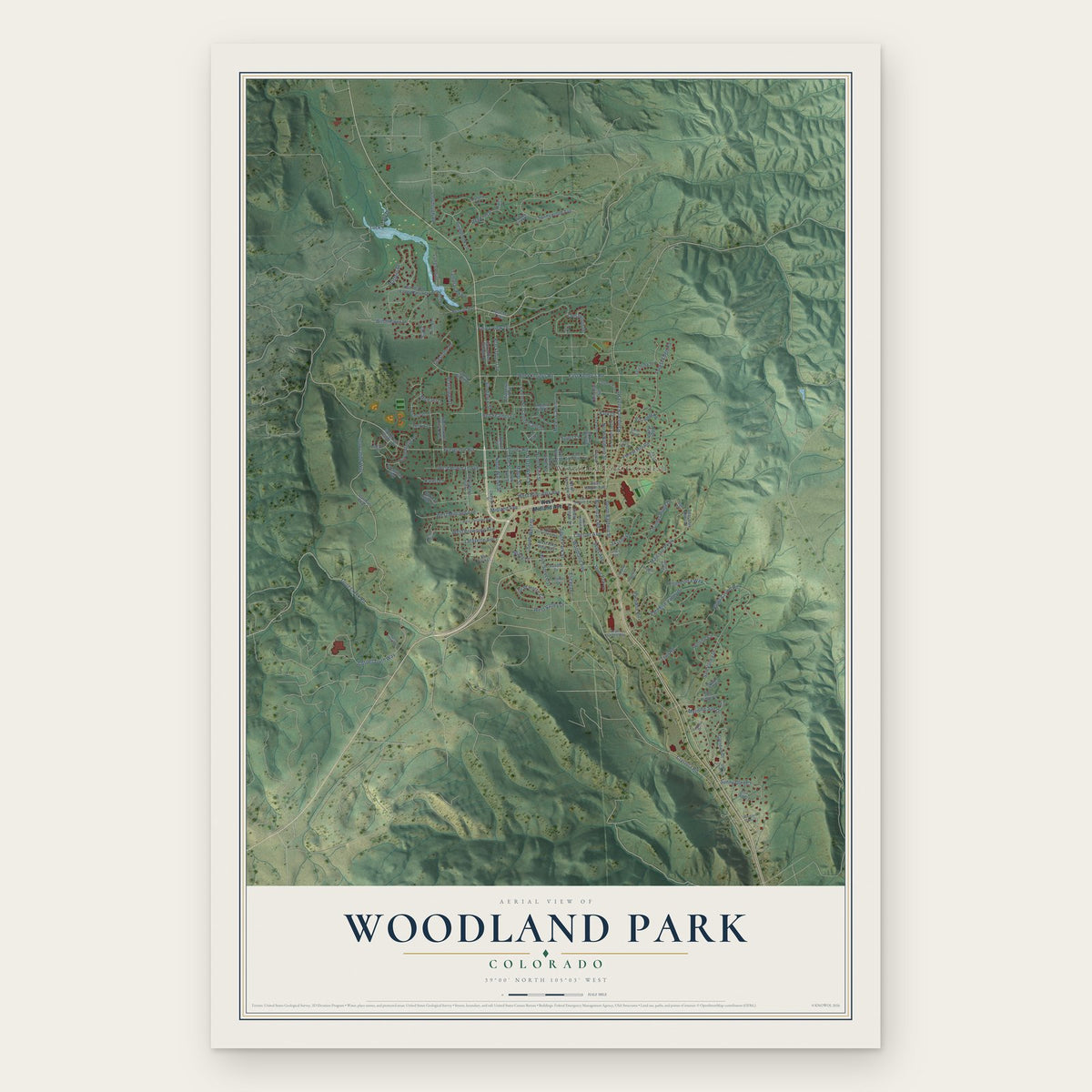
Woodland Park, Colorado Map Art
Building by building, with labeled streets and shaded relief.
12" x 18" Archival Matte Print
A Map of Home. A Work of Art.
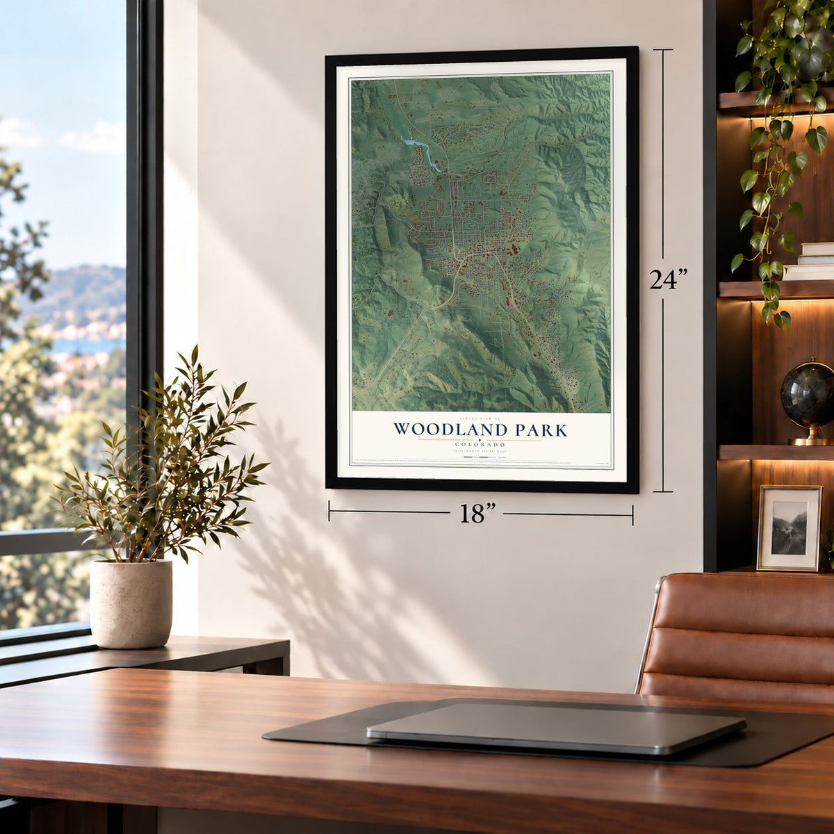
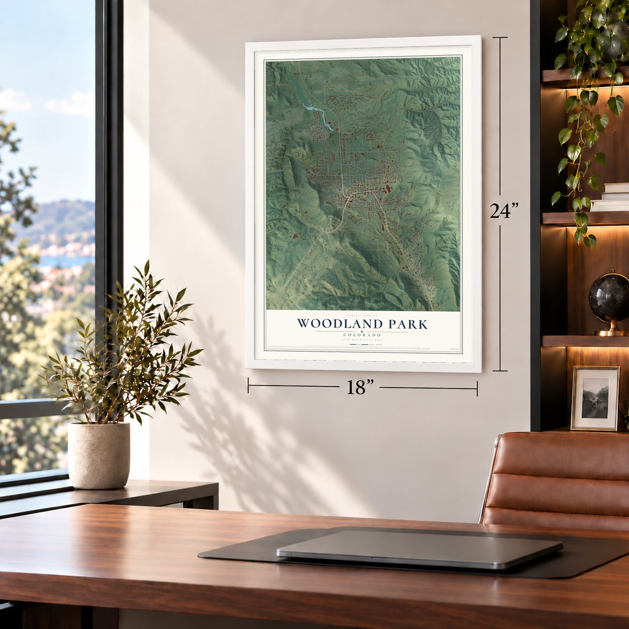
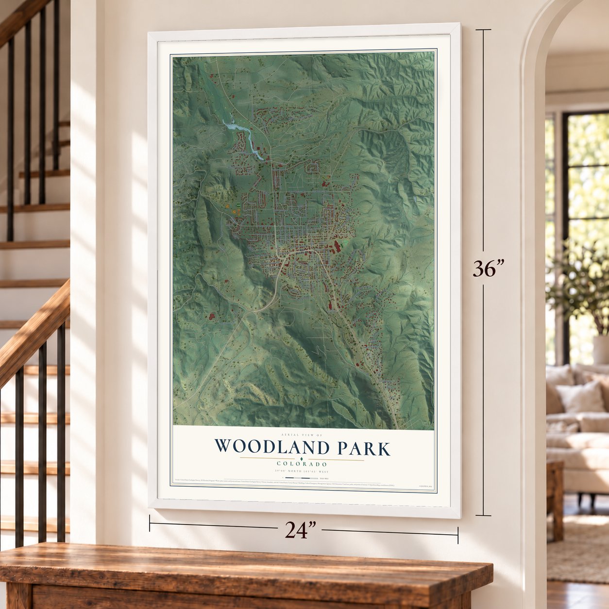
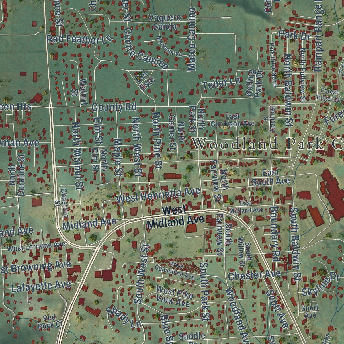
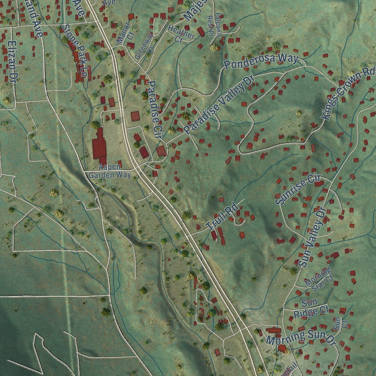
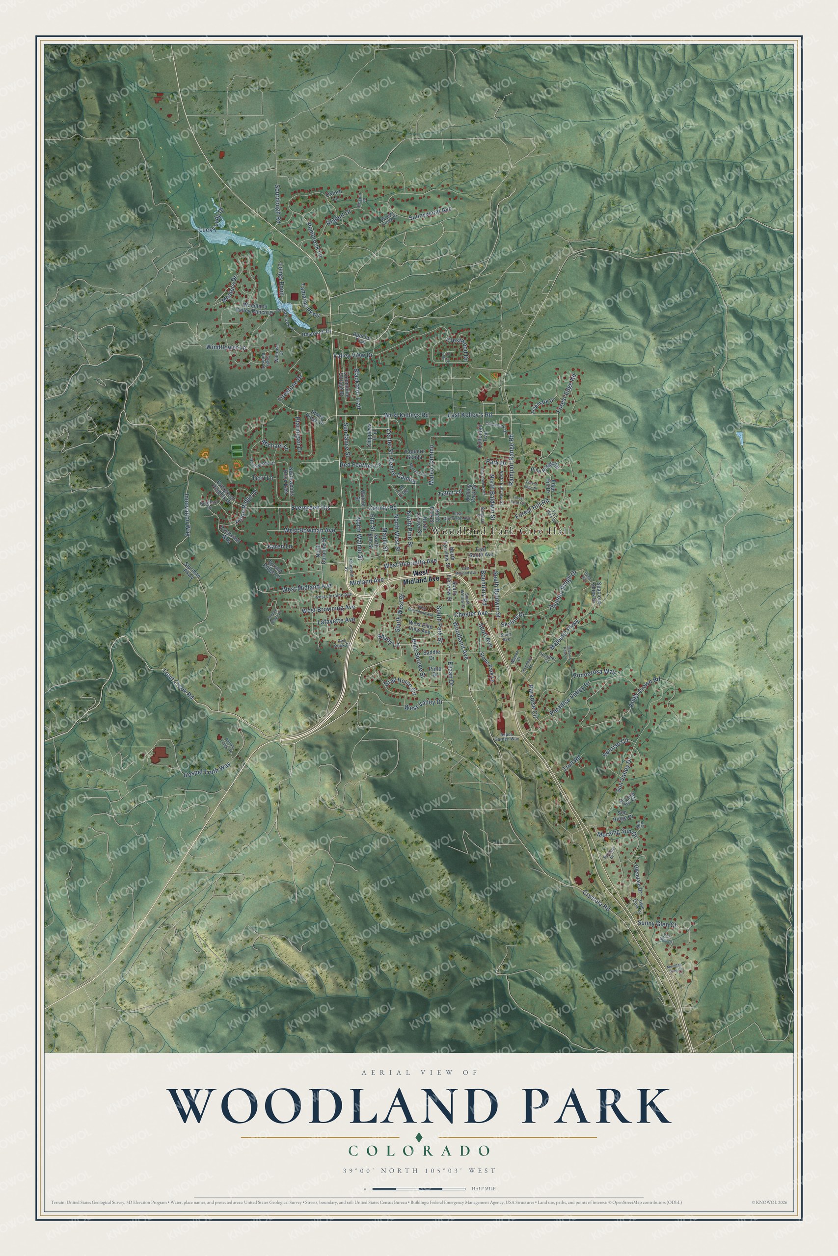
Explore Woodland Park, Colorado from a whole new perspective. Created using aerial imagery and detailed geographic data, this map captures Woodland Park building by building, with labeled streets, familiar landmarks, and shaded topographical relief that highlights the natural contours of the landscape.
Combining modern data with the timeless character of a vintage atlas, this map is just as interesting up close as it is beautiful on the wall. Whether you grew up in Woodland Park, spent memorable years there, or call it home today, this unique map is a great way to celebrate a place that means something to you. Zoom in on the preview to look for your street, and then order a print to put your memories on the wall.
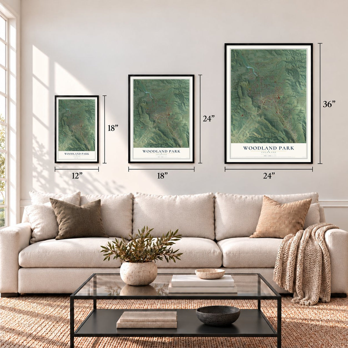
Three ways to hang it
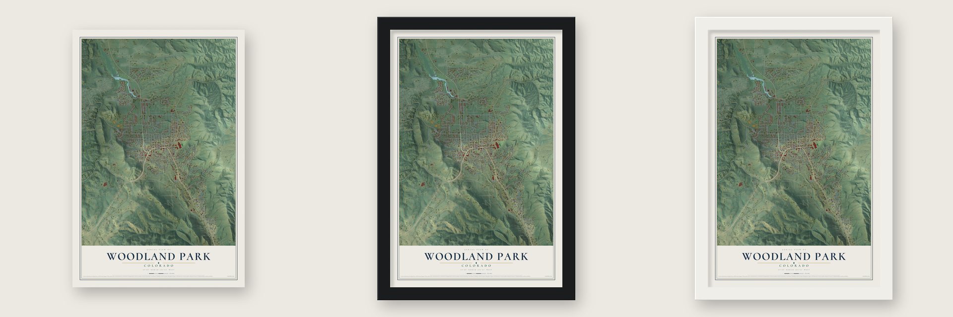
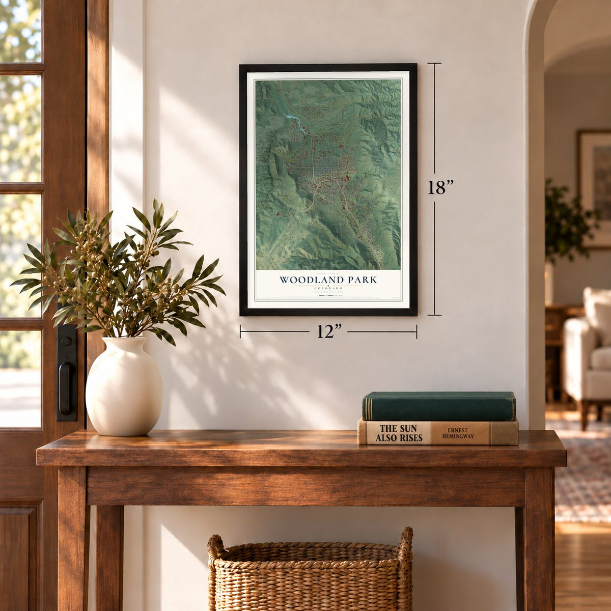
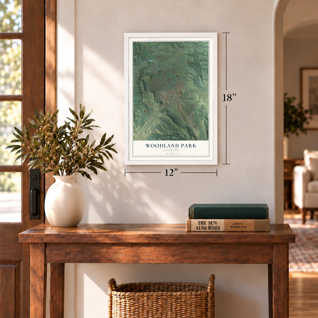
Unframed archival matte, a black wood frame or a white wood frame.
Up close
Geography Worth Displaying
This map was created using accurate cartographic data and authoritative geographic sources, including the U.S. Geological Survey and the Census Bureau. The map brings together terrain, waterways, roads, and building detail. The majority of the streets are labeled, houses are accurately depicted, and the topography is derived from government sources. Combining local data with carefully composed color and shading leads to this beautifully detailed Woodland Park artwork for your wall.
Rather than simply showing street outlines, we’ve included as many of the street names as we could reasonably fit on the map while keeping their names legible. Zoom in on the high resolution preview to see exactly what’s on the map. We truly set out to create a statement piece for anyone who loves Woodland Park. So whether it’s for you, or a gift for someone you love, we hope this map of Woodland Park brings back fond memories.
Read the story behind this map of Woodland Park, Colorado from 2026.
Find your street
Names on the Woodland Park map
Every name below is printed on this map. Look for your street, your school, the park where you played, or the pond down the road.
Places and landmarks1
- Woodland Park City Hall
Streets and roads144
- Evergreen Heights
- Woodland Avenue
- Trout Creek Road
- Teller Lane
- West Midland Avenue
- County Road
- South West Street
- Gospel Truth Way
- West Kelleys Road
- Windflower Lane
- Lafayette Avenue
- Innovation Way
- Kings Crown Road
- Valley View Drive
- Sun Valley Drive
- Forest Edge Road
- Sunnywood Avenue
- Pembrook Lane
- South Park Street
- Masters Drive
- East Kelley's Road
- West Bowman Avenue
- West Browning Avenue
- Ponderosa Way
- Majestic Parkway
- North Baldwin Street
- Rampart Range Road
- Boundary Road
- Crystola Road
- Elm Street
Show all 144 streets
- Paradise Circle
- Ptarmigan Drive
- North Pine Street
- North Walnut Street
- Morning Sun Drive
- Mateo Camino
- Skyline Drive
- Regent Drive
- Paradise Valley Drive
- Lucky Lady Drive
- Forest Hill Road
- South Baldwin Street
- Maple Street
- West Henrietta Avenue
- Blackfoot Trail
- Red Feather Lane
- North West Street
- Sunny Glen Court
- Thunder Ridge Drive
- Park Drive
- Sunrise Circle
- Gray Horse Circle
- Center Street
- Chester Avenue
- Pinon Ridge Drive
- Blue Spruce Street
- Michael Lane
- Tamarac Parkway
- West Valley Drive
- Karen Lane
- Longs Point
- Sundance Street
- Firestone Drive
- Sourdough Road
- Centre Camino
- Scott Avenue
- Midland Avenue
- Crestwood Drive
- Trull Road
- Shady Lane
- Elizan Drive
- Terri Lane
- North Park Street
- South Fairview Street
- Evergreen Heights Drive
- Research Drive
- Apache Trail
- Northwoods Drive East
- West Pike View Avenue
- East South Avenue
- Sturman Parkway
- North Elm Street
- Spruce Ridge Lane
- Woodland Valley Ranch Drive
- North Center Street
- North Coraline Street
- Stone Ridge Drive
- Rolling Park Drive
- Pine Ridge Road
- Crestview Way
- Glendale Drive
- Columbine Village Drive
- Chippewa Trail
- North Fairview Street
- Telemark Drive
- Vaquero Senda
- Spacious Skies Drive
- Cottontail Trail
- Stone Park Lane
- Edge Hill Drive
- Sun Ridge Court
- Saddle Drive
- Oxford Lane
- Pinto Drive
- Walnut Street
- Del Este
- Research Parkway
- Aspen Garden Way
- West Lorraine Avenue
- Northwoods Drive
- East Gunnison Avenue
- North Fullview Street
- Chipmunk Drive
- Eagle Pines Drive
- Bradford Drive
- Chestnut Street
- Glen Cove Drive
- South Willow Street
- Morning Star Court
- Woody Creek Court
- Wildrose Court
- Sundail Drive
- Heather Court
- Red Rock Court
- Sun Court
- Regent Lane
- Manor Court
- Short Avenue
- Forest Edge Circle
- Park Drive North
- West Columbine Avenue
- East Midland Avenue
- Park View Road
- Greenway Court
- Vista Glen Court
- Montana Vis
- Falcon's Rest Place
- Boundary Street
- Mountain Glen Court
- Buffalo Lodge Road
- Golden Eagle Place
- April Sun Court
- Regal Way
- Forest Edge Place
Names are listed as they appear on the printed map. Zoom into the product photos to find them.
About Woodland Park, Colorado
Woodland Park is a city of 7,920 people in Teller County, Colorado, ringed by Pike National Forest. It began in 1887 as the town of Manitou Park and went briefly by Belmont. It took its present name when it incorporated in 1891, a name chosen for the pine and spruce trees that covered the site.
Lumber gave the young town its first boom. Five sawmills turned timber from the nearby forests into boards and railroad ties, which went to Colorado Springs and other Colorado towns to build their mines and rail lines. The cutting was so heavy that Pike National Forest was created to protect the woods that remained.
- A stop on the Colorado MidlandThe Colorado Midland Railway made Woodland Park one of its major stops, because the town sat close to Cripple Creek and had rooms for travelers. The Crest Hotel, built in 1889, was its first hotel. The Woodland Hotel had 42 rooms for sleeping, along with a big room for meals and a pair of parlors for its guests. Both hotels were eventually torn down.
- Dude ranches and rodeosIn the early 20th century, cattle ranches and dude ranches spread across the area, and the dude ranches became a big draw for tourists. The best known was Paradise Ranch, which hosted public rodeos put on by the Woodland Park Rodeo Association, with baseball games, parades and afternoon dances alongside the riding. Over the following decades the rodeo changed and moved from place to place until it was finally discontinued.
- Casinos of the 1930s and 1940sThrough the 1930s and 1940s, local casinos ran gambling and sold illegal liquor in town. Federal agents eventually stepped in and ended the hold those gaming houses had on Woodland Park.
- Beneath Pikes PeakPikes Peak, known as America's Mountain, is the best-known landmark of the area, and visitors reach its summit by the Pikes Peak Highway or the Pikes Peak Cog Railway. The land around the city is full of large granite rocks and alpine meadows, at elevations between 8,200 and 10,000 feet.
Keep exploring Colorado
Woodland Park is one of 550 Colorado towns we've mapped. Every dot on the map is a print of its own.
The search covers every state, Colorado first.
Near Woodland Park
Order 2 or more town maps and save 10%. Shown in the size and finish you picked above, so they hang as a set.
- Cascade-Chipita Park 12" x 18" / Archival Matte Print $39.99
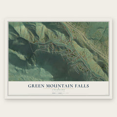
- Green Mountain Falls 12" x 18" / Archival Matte Print $39.99
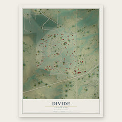
- Divide 12" x 18" / Archival Matte Print $39.99

More maps nearby: Air Force Academy, Palmer Lake, Midland, Westcreek and Manitou Springs.
The art of mapping a place
How This Map Was Made
Real places. Remarkable detail. Discover the layers that turn geographic data into a map of home.

The view from above
Aerial imagery reveals the character of the land: woodland, open fields, and the patterns of a place.

The shape of the land
Elevation data brings hills, valleys, and subtle changes in the landscape into view.

The details of home
Roads, waterways, and building footprints come together to make the map feel unmistakably local.

Geography becomes art
Considered color, shading, and typography bring the layers together in a map made for your wall.


Process illustrated with Mendon, Massachusetts. Aerial imagery: USDA NAIP. Terrain: USGS 3D Elevation Program. Map details and finished artwork: KNOWOL.
The Details
About This Print
Choose an archival matte print, or a black or white Ayous wood frame. The archival matte print is unframed.
Select your size and finish above to see the matching product image and price.
Materials & Craftsmanship
A contemporary map with the character of a classic atlas, printed on archival matte paper. Optional frames are made from Ayous wood.
Your printed map does not include the watermark shown in the full-map preview.
Shipping & Delivery
Free shipping within the United States. Every print is made to order in the USA.
Buying a gift? Add a note in your cart and we'll include it. We never put prices in the package.
Prints ship within 2 to 3 business days. Allow 7 to 10 days total from ordering for delivery. Timing may vary during holidays or periods of high order volume.
Read our shipping policy.
Returns and damaged prints
Each print is made to order. Change-of-mind refunds are not available after production.
If your print arrives damaged, misprinted or incorrect, contact support@knowol.com within 30 days of receiving it. Include your order number, photos and a description of the issue.
Read our full refund and replacement policy. For questions about your order, email support@knowol.com.