
Search for another town

Free U.S. delivery 7 to 10 days after you order
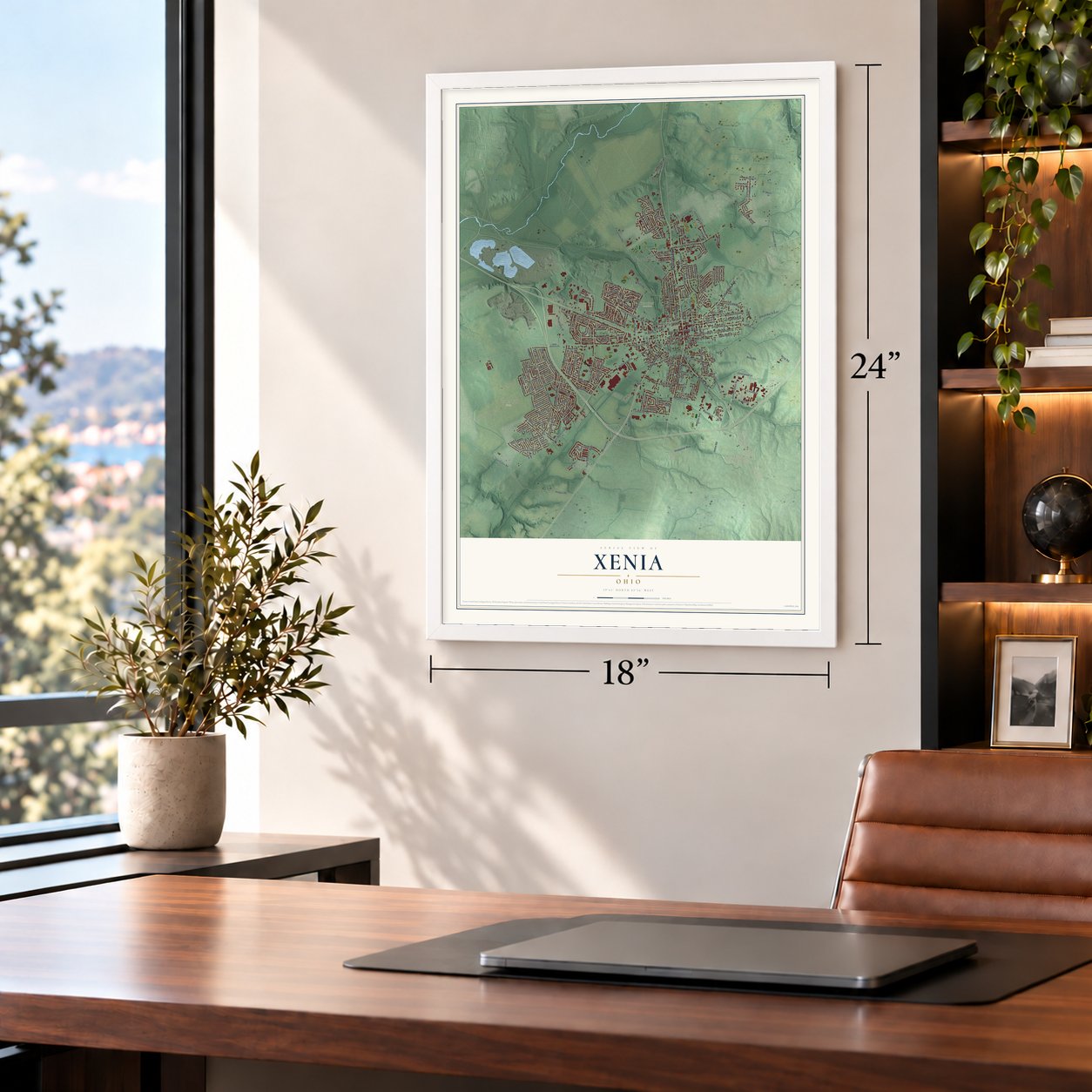
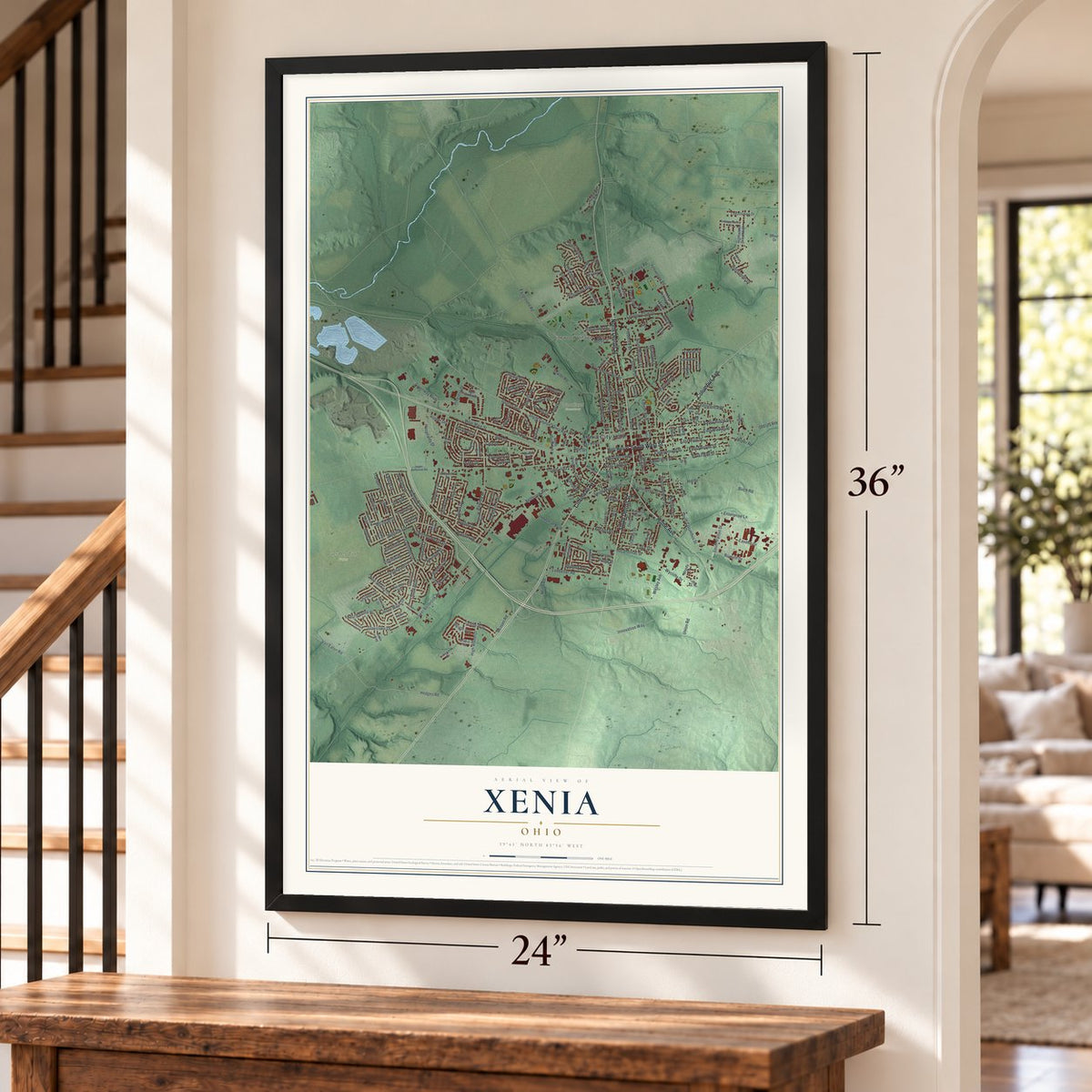
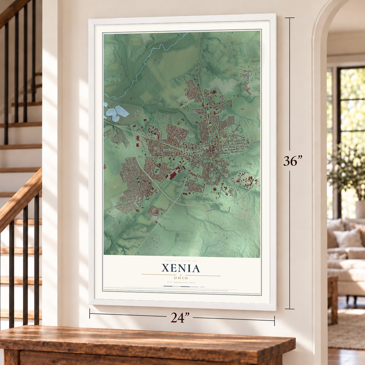
Xenia, Ohio Map Art
Building by building, with labeled streets and shaded relief.
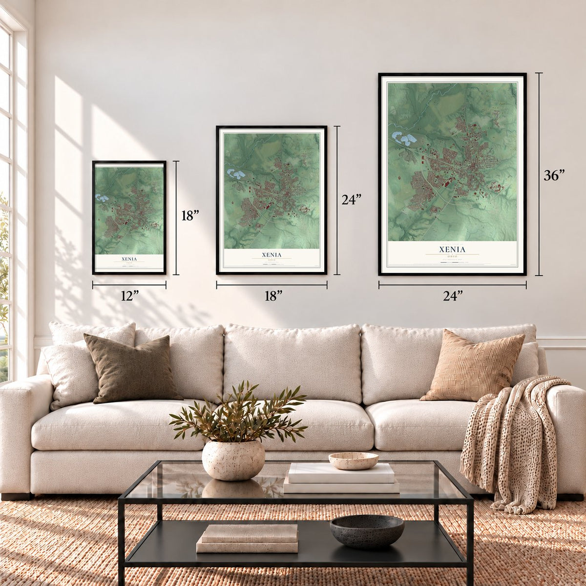
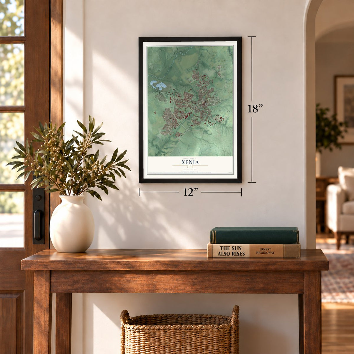
12" x 18" Archival Matte Print
A Map of Home. A Work of Art.
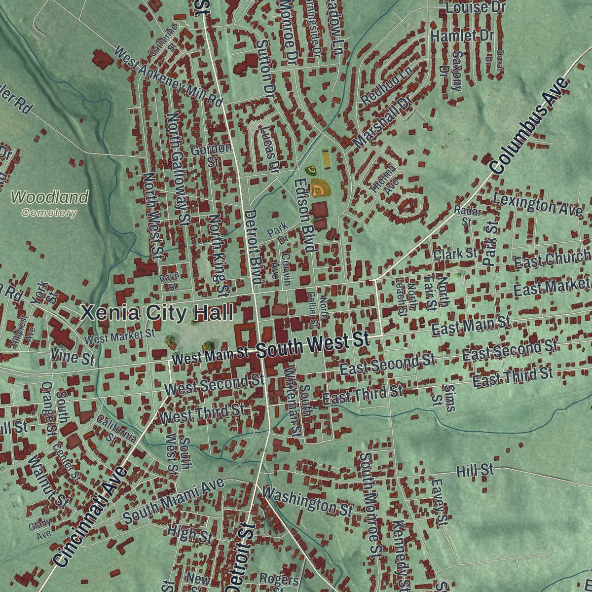
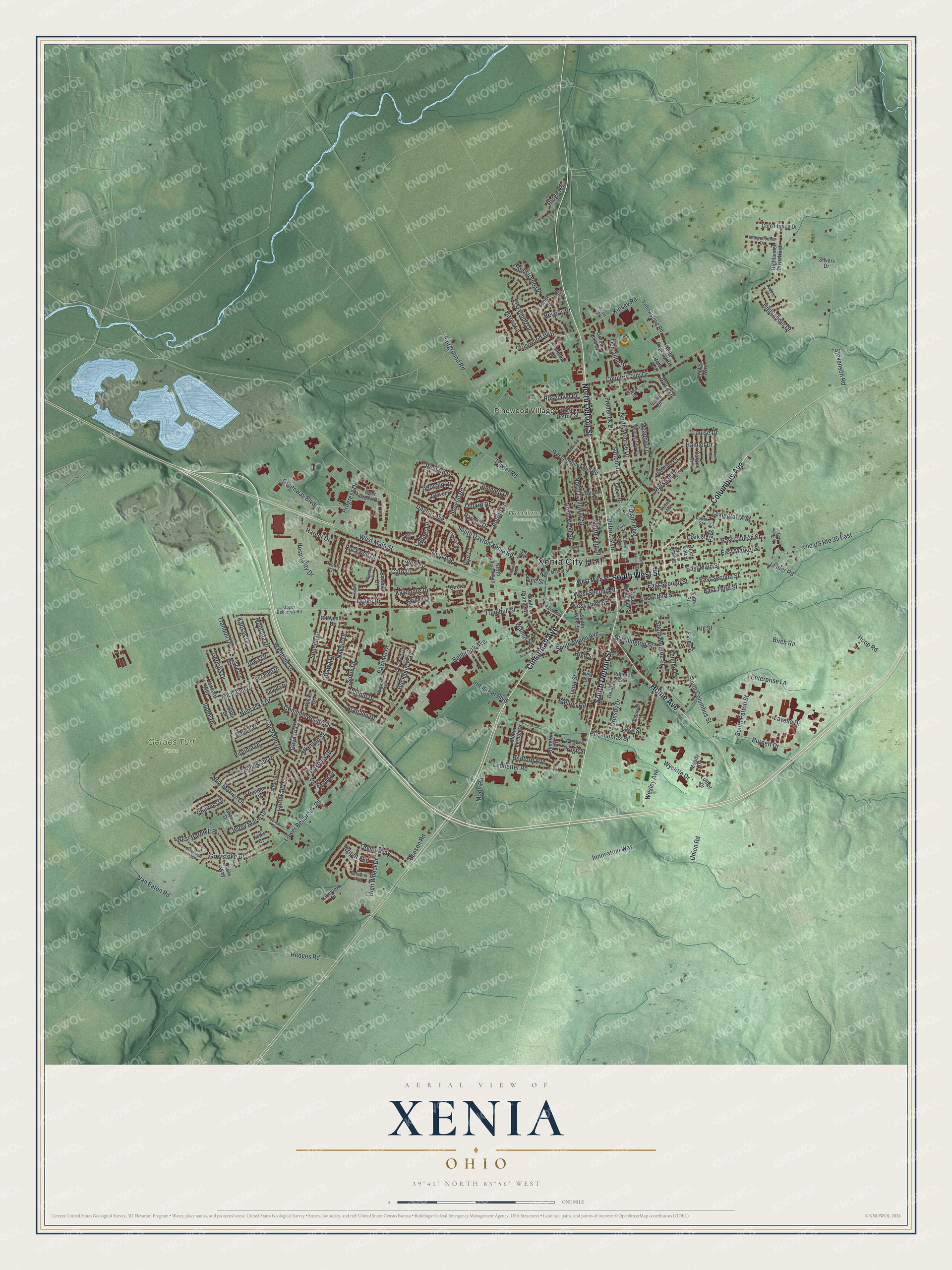
Explore Xenia, Ohio from a whole new perspective. Created using aerial imagery and detailed geographic data, this map captures Xenia building by building, with labeled streets, familiar landmarks, and shaded topographical relief that highlights the natural contours of the landscape.
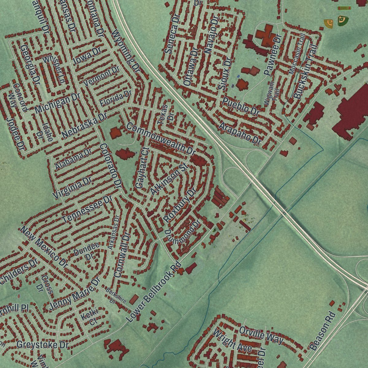
Combining modern data with the timeless character of a vintage atlas, this map is just as interesting up close as it is beautiful on the wall. Whether you grew up in Xenia, spent memorable years there, or call it home today, this unique map is a great way to celebrate a place that means something to you. Zoom in on the preview to look for your street, and then order a print to put your memories on the wall.
Three ways to hang it
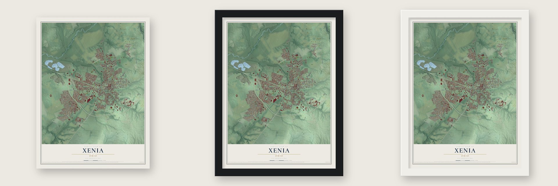
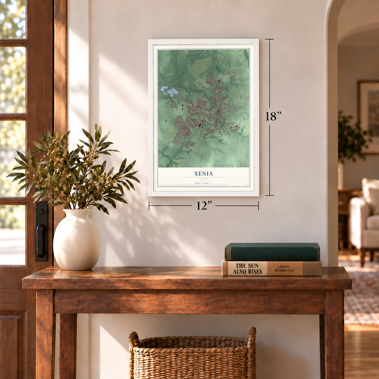
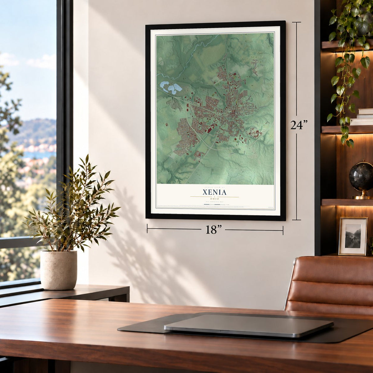
Unframed archival matte, a black wood frame or a white wood frame.
Up close
Geography Worth Displaying
This map was created using accurate cartographic data and authoritative geographic sources, including the U.S. Geological Survey and the Census Bureau. The map brings together terrain, waterways, roads, and building detail. The majority of the streets are labeled, houses are accurately depicted, and the topography is derived from government sources. Combining local data with carefully composed color and shading leads to this beautifully detailed Xenia artwork for your wall.
Rather than simply showing street outlines, we’ve included as many of the street names as we could reasonably fit on the map while keeping their names legible. Zoom in on the high resolution preview to see exactly what’s on the map. We truly set out to create a statement piece for anyone who loves Xenia. So whether it’s for you, or a gift for someone you love, we hope this map of Xenia brings back fond memories.
Find your street
Names on the Xenia map
Every name below is printed on this map. Look for your street, your school, the park where you played, or the pond down the road.
Places and landmarks4
- Xenia City Hall
- Pinewood Village
- Gerdes Turf Farm
- Woodland Cemetery
Streets and roads219
- Cincinnati Avenue
- Columbus Avenue
- South West Street
- North Detroit Street
- South Detroit Street
- Home Avenue
- West Main Street
- East Church Street
- East Third Street
- East Main Street
- Dayton Avenue
- Bellbrook Avenue
- West Second Street
- Colorado Drive
- South Patton Street
- Park Street
- South Monroe Street
- East Second Street
- South Dayton Xenia Road
- North Monroe Drive
- Lower Bellbrook Road
- Stevenson Road
- Commonwealth Drive
- South Columbus Street
- June Drive
- Wyoming Drive
- Progress Drive
- East Market Street
- Innovation Way
- Country Club Drive
Show all 219 streets
- Ledbetter Road
- Kinsey Road
- Kylemore Drive
- Fairground Road
- Rockwell Drive
- Van Eaton Road
- Louise Drive
- Hill Street
- Sheelin Road
- Drake Drive
- Pueblo Drive
- Union Road
- Tennessee Drive
- North King Street
- Towler Road
- Reid Avenue
- Nebraska Drive
- Birch Road
- Burnett Drive
- North West Street
- Wesley Avenue
- North Galloway Street
- Greenway Boulevard
- Omard Drive
- Marshall Drive
- Hedges Road
- Highlander Drive
- Edison Boulevard
- Montana Drive
- Roxbury Drive
- Georgia Drive
- South Miami Avenue
- Moon Road
- Washington Street
- Hollywood Boulevard
- Ormsby Drive
- Richard Drive
- Gayhart Court
- Buckskin Trail
- El Camino Drive
- Ottawa Drive
- Stelton Road
- Sutton Drive
- Sioux Drive
- Orville Way
- Old US Route 35 East
- Industrial Boulevard
- Pocahontas Street
- Lavelle Drive
- Cornwall Drive
- Pawnee Drive
- Harris Lane
- Lexington Avenue
- Greystoke Drive
- Hospitality Drive
- Hamlet Drive
- Jenny Marie Drive
- Jodee Drive
- Atkinson Street
- High Wheel Drive
- Seneca Drive
- Navajo Drive
- New Mexico Drive
- Antrim Road
- Lake Street
- Arapaho Drive
- Trumbull Street
- Detroit Boulevard
- Lynn Street
- West Third Street
- West Barnhill Place
- Vine Street
- Emmett Drive
- High Street
- Ridge Road
- Virginia Drive
- Capestrano Drive
- Bedford Avenue
- Michigan Drive
- Tranquil Drive
- Enterprise Lane
- Roselawn Drive
- Frederick Drive
- Wright Avenue
- Cato Drive
- Iowa Drive
- Walnut Street
- Jasper Road
- Kansas Drive
- Wycliffe Drive
- Beason Road
- Dee Anne Drive
- Meadow Lane
- Berwald Drive
- Prugh Street
- Parnell Drive
- Childers Drive
- Cooper Lane
- Poe Lane
- Kennedy Street
- Beverly Place
- Harner Drive
- Joyce Drive
- Hoop Road
- Moody Drive
- Highlander Drive North
- South Whiteman Street
- North Regency Drive
- York Street
- Mount Vernon Drive
- Clark Street
- Lakeview Drive
- Bowman Drive
- Dundee Drive
- Deer Creek Drive
- West Ankeney Mill Road
- Arlington Drive
- Vimla Way
- Yellowstone Road
- Concord Way
- Tahoe Drive
- Texas Drive
- Drummond Drive
- Lucas Drive
- Constitution Drive
- North Fair Street
- Alabama Drive
- Circle Drive
- North Allison Avenue
- Whisper Lane
- Eagles Way
- Redbud Lane
- Alameda Drive
- Raybell Drive
- Saxony Drive
- Greene Lake Drive
- Vermont Drive
- Dean Street
- Glover Drive
- South Orange Street
- Rogers Street
- Cheyenne Drive
- Florida Drive
- Leslie Drive
- Gordon Street
- Idaho Drive
- Cross Drive
- Silvers Drive
- Eavey Street
- Prouty Drive
- Botto Avenue
- Luther Drive
- New Street
- Ketki Court
- Sims Street
- Martin Drive
- Upper Bellbrook Road
- Center Street
- Moccasin Trail
- Lowell Drive
- McDowell Street
- Wigwam Trail
- Jackson Street
- Arkansas Drive
- Shannon Lane
- Morningside Drive
- Independence Drive
- Schwinn Avenue
- West Market Street
- Thelma Avenue
- Park Drive
- Delta Avenue
- North Leach Street
- Corwin Avenue
- California Street
- Radar Street
- Laddie Court
- Amlin Drive
- Ridgebury Drive
- Franklin Avenue
- Coddington Street
- Berkshire Drive
- Doral Drive
- Catherine Street
- Beatty Drive
- North Collier Street
- Glady Avenue
- Hillcrest Avenue
- Race Street
Names are listed as they appear on the printed map. Zoom into the product photos to find them.
About Xenia, Ohio
Xenia is the seat of Greene County in southwestern Ohio, 15 miles east of Dayton. Founded in 1803, it had 25,441 residents at the 2020 census. Its history is preserved in early burial grounds, former railroad routes, and a log house restored after the devastating 1974 tornado.
- Hospitality by VoteThe name Xenia, Greek for "hospitality," prevailed after Laticia Davis cast the deciding vote at a town meeting.
- Gowdy CemeteryIn 1820, the Associate Reformed Church paid James Gowdy 50 cents for cemetery land; Gowdy was the last person buried there, in 1853.
- Railroad ConnectionsThe Little Miami Railroad reached Xenia in 1843, encouraging industry and access to other markets; five of the city's six former rail corridors later became trails.
- The 1974 TornadoThe April 3, 1974, F5 tornado killed 34 people, injured 1,150, destroyed almost half the city's buildings, and left 10,000 people homeless.
- Galloway Log HouseBuilt around 1799, the Galloway log house was badly damaged by the 1974 tornado, then restored by the Greene County Historical Society.
Keep exploring Ohio
Xenia is one of 1,389 Ohio towns we've mapped. Every dot on the map is a print of its own.
The search covers every state, Ohio first.
Near Xenia
Order 2 or more town maps and save 10%. Shown in the size and finish you picked above, so they hang as a set.
- Wilberforce 12" x 18" / Archival Matte Print $39.99
- Trebein 12" x 18" / Archival Matte Print $39.99
- Spring Valley 12" x 18" / Archival Matte Print $39.99
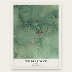

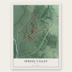
More maps nearby: Beavercreek, Cedarville, Bellbrook, Yellow Springs and Fairborn.
The art of mapping a place
How This Map Was Made
Real places. Remarkable detail. Discover the layers that turn geographic data into a map of home.

The view from above
Aerial imagery reveals the character of the land: woodland, open fields, and the patterns of a place.

The shape of the land
Elevation data brings hills, valleys, and subtle changes in the landscape into view.

The details of home
Roads, waterways, and building footprints come together to make the map feel unmistakably local.

Geography becomes art
Considered color, shading, and typography bring the layers together in a map made for your wall.


Process illustrated with Mendon, Massachusetts. Aerial imagery: USDA NAIP. Terrain: USGS 3D Elevation Program. Map details and finished artwork: KNOWOL.
The Details
About This Print
Choose an archival matte print, or a black or white Ayous wood frame. The archival matte print is unframed.
Select your size and finish above to see the matching product image and price.
Materials & Craftsmanship
A contemporary map with the character of a classic atlas, printed on archival matte paper. Optional frames are made from Ayous wood.
Your printed map does not include the watermark shown in the full-map preview.
Shipping & Delivery
Free shipping within the United States. Every print is made to order in the USA.
Buying a gift? Add a note in your cart and we'll include it. We never put prices in the package.
Prints ship within 2 to 3 business days. Allow 7 to 10 days total from ordering for delivery. Timing may vary during holidays or periods of high order volume.
Read our shipping policy.
Returns and damaged prints
Each print is made to order. Change-of-mind refunds are not available after production.
If your print arrives damaged, misprinted or incorrect, contact support@knowol.com within 30 days of receiving it. Include your order number, photos and a description of the issue.
Read our full refund and replacement policy. For questions about your order, email support@knowol.com.