
Search for another town



Free U.S. delivery 7 to 10 days after you order
York, South Carolina Map Art
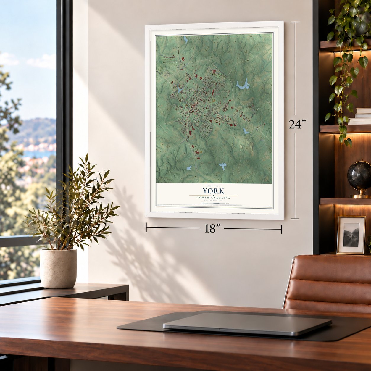
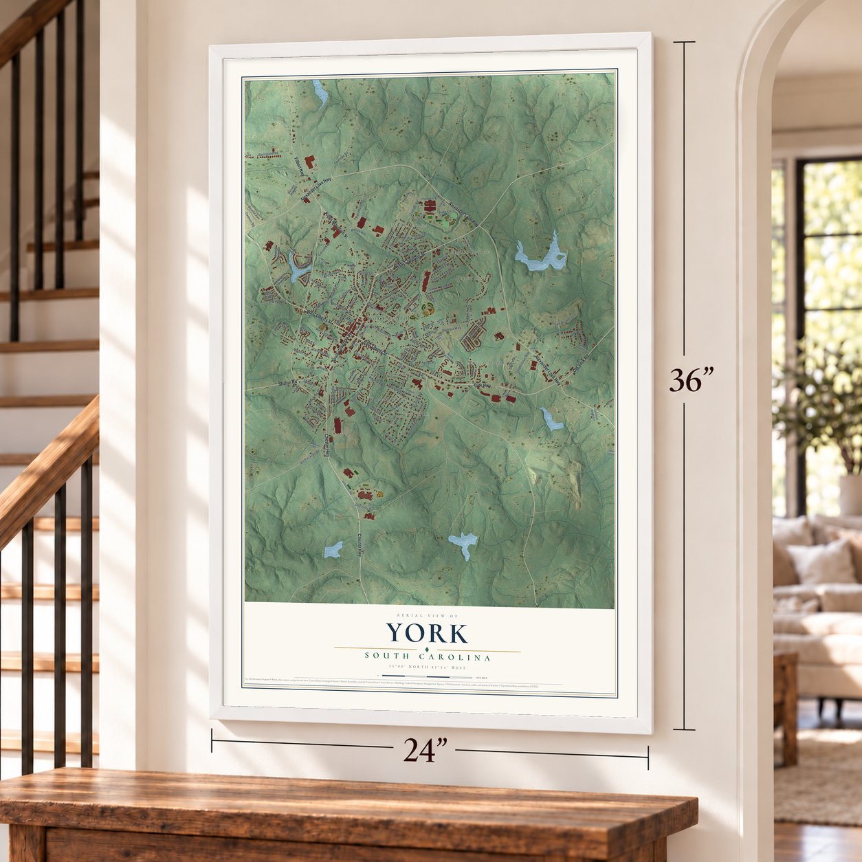
A new map of York, South Carolina, made in 2026 and printed to order on thick archival matte paper.
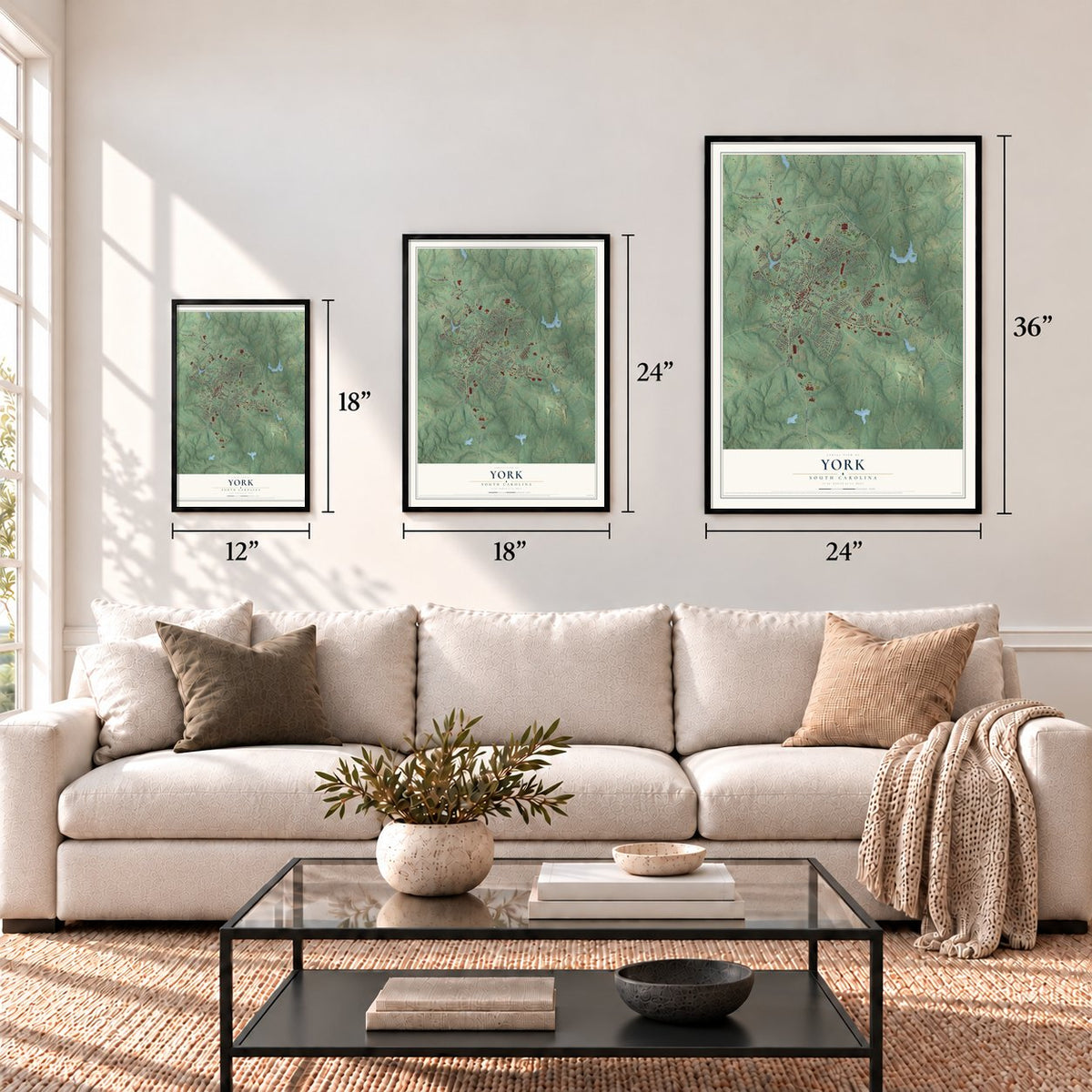
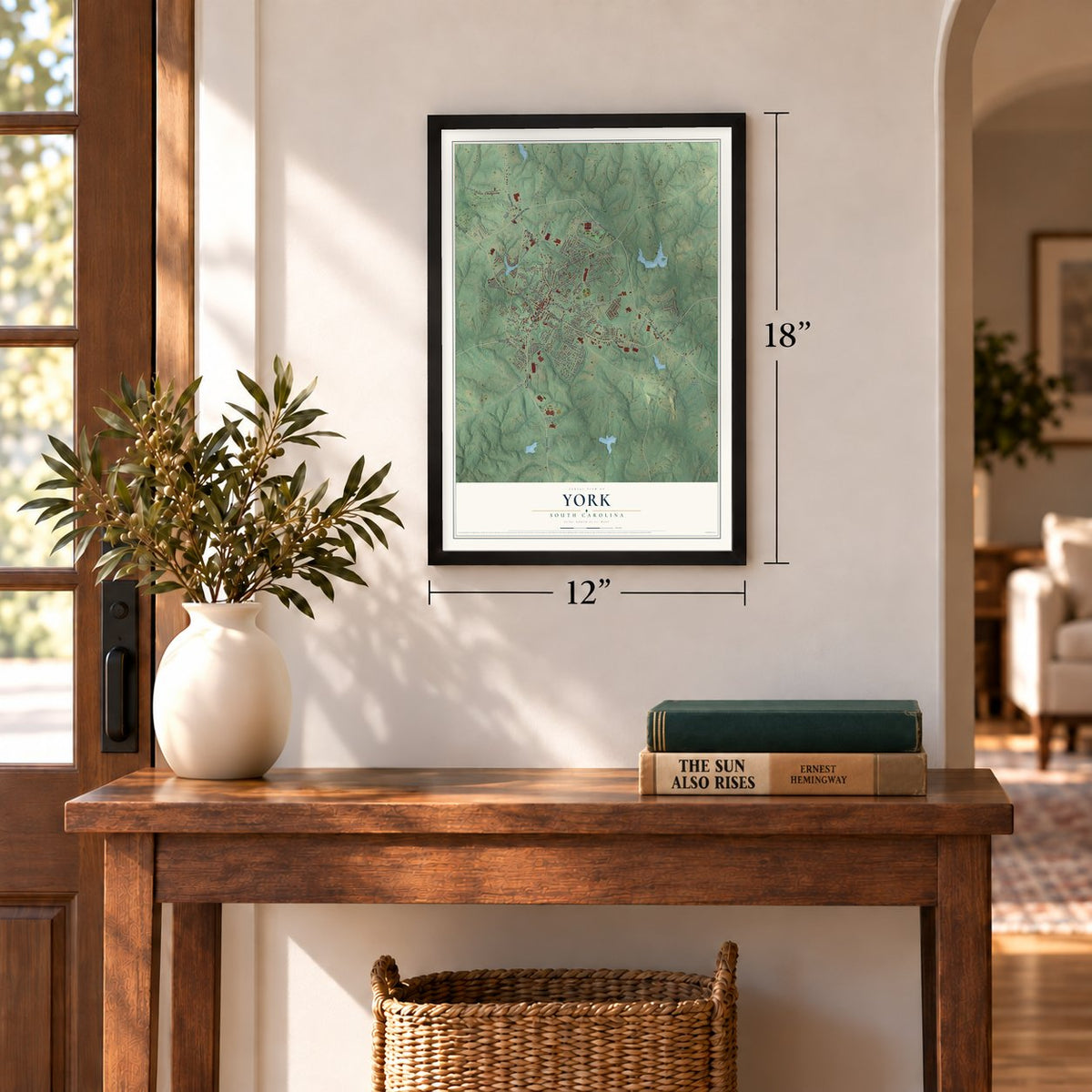
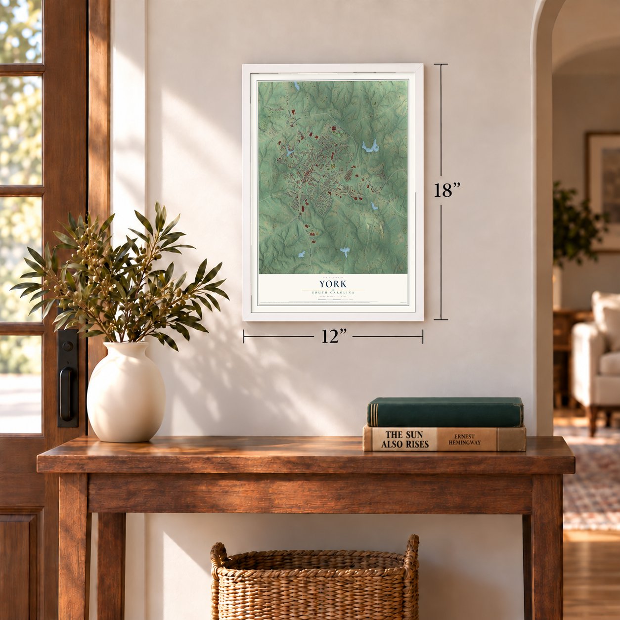
12" x 18" Archival Matte Print
A Map of Home. A Work of Art.
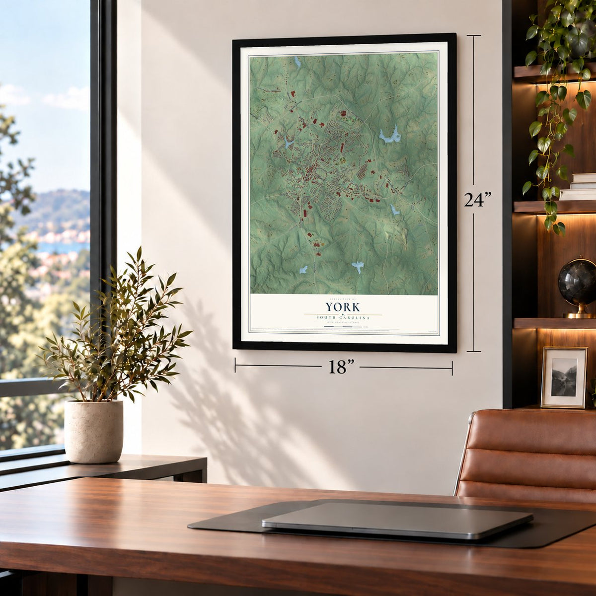
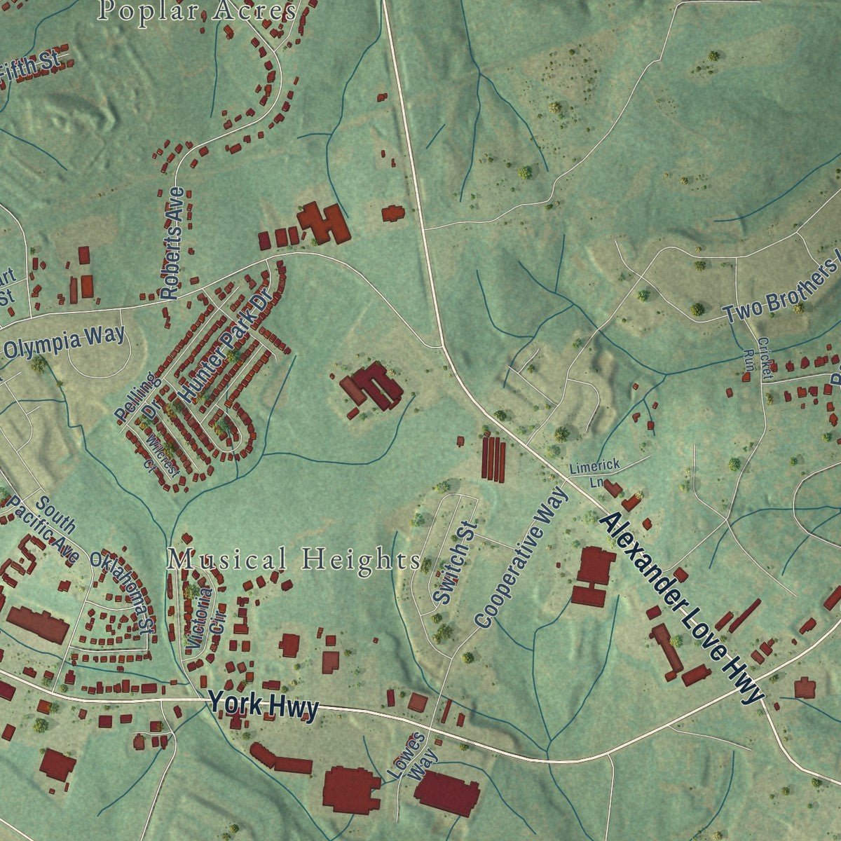
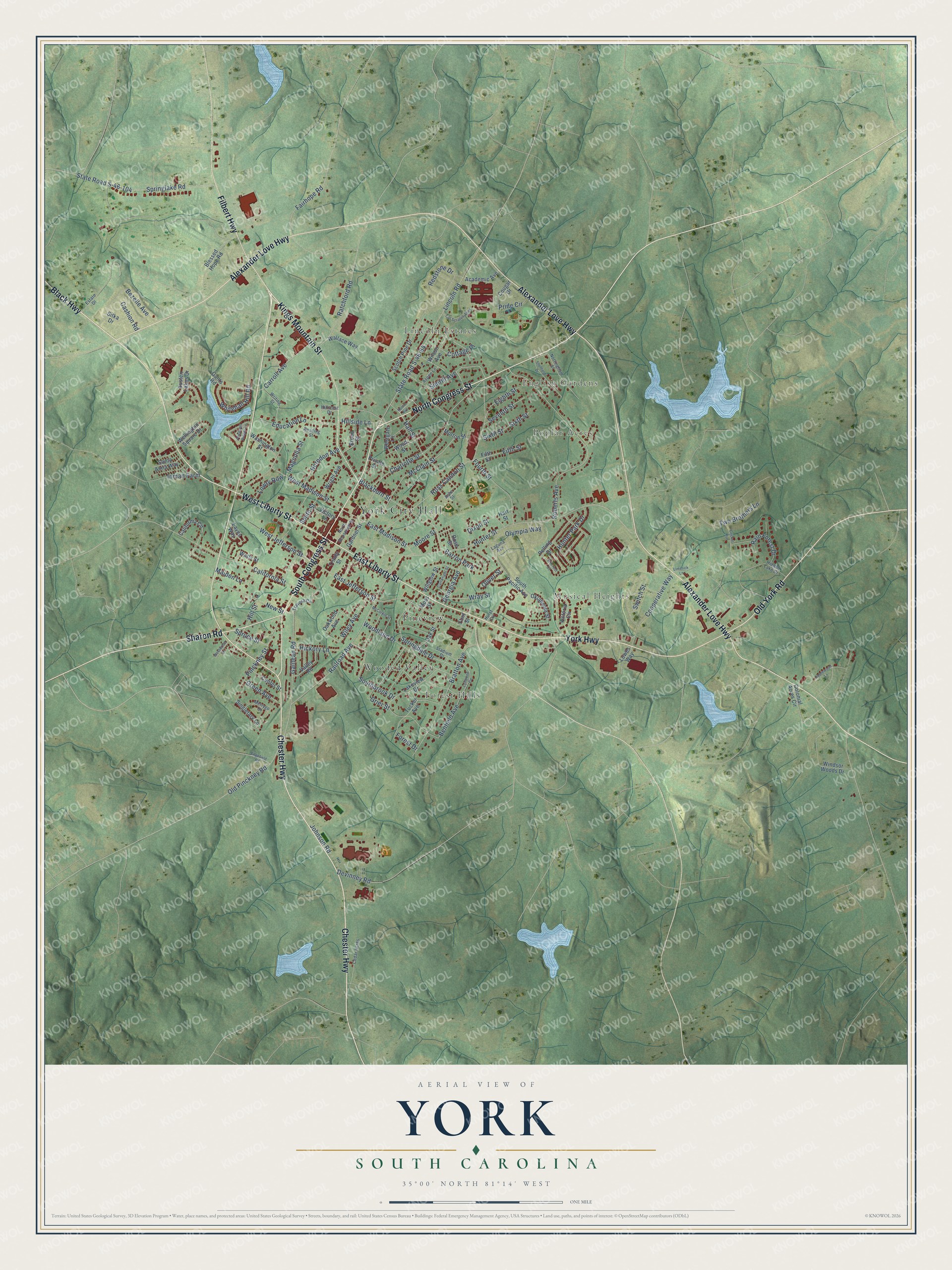
Explore York, South Carolina from a whole new perspective. Created using aerial imagery and detailed geographic data, this map captures York building by building, with labeled streets, familiar landmarks, and shaded topographical relief that highlights the natural contours of the landscape.
Combining modern data with the timeless character of a vintage atlas, this map is just as interesting up close as it is beautiful on the wall. Whether you grew up in York, spent memorable years there, or call it home today, this unique map is a great way to celebrate a place that means something to you. Zoom in on the preview to look for your street, and then order a print to put your memories on the wall.
Three ways to hang it
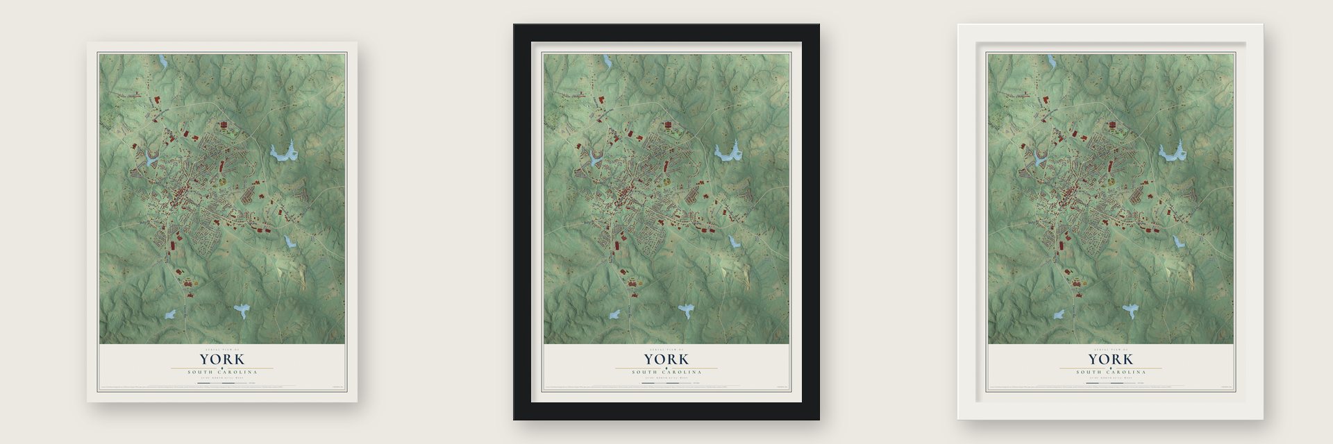
Unframed archival matte, a black wood frame or a white wood frame.
Up close
Geography Worth Displaying
This map was created using accurate cartographic data and authoritative geographic sources, including the U.S. Geological Survey and the Census Bureau. The map brings together terrain, waterways, roads, and building detail. The majority of the streets are labeled, houses are accurately depicted, and the topography is derived from government sources. Combining local data with carefully composed color and shading leads to this beautifully detailed York artwork for your wall.
Rather than simply showing street outlines, we’ve included as many of the street names as we could reasonably fit on the map while keeping their names legible. Zoom in on the high resolution preview to see exactly what’s on the map. We truly set out to create a statement piece for anyone who loves York. So whether it’s for you, or a gift for someone you love, we hope this map of York brings back fond memories.
Read the story behind this map of York, South Carolina from 2026.
About York, South Carolina
York is a city of 8,503 people and the county seat of York County, about 27 miles southwest of Charlotte. Settlers moving south from Pennsylvania and Virginia reached the area in the early 1750s, on land where the Catawba had lived first. The place grew up as Fergus's Crossroads, named for a tavern that the brothers William and John Fergus kept where the Rutherfordton to Camden road met the road from Charlotte to Augusta.
When York County was created in 1785, state law told each county to build its courthouse in its most convenient spot. The crossroads sat close to the new county's center, so it became the county seat, called Yorkville. By 1823 it had 451 people, 80 houses, eight stores and five taverns. The town was incorporated with about 800 residents and W. I. Clawson as its first mayor. It grew to 2,000 before the Civil War, and in 1915 its voters shortened the name to York.
- Gas lights in 1860In 1860 Yorkville put in a gas works on West Liberty Street, just below the old county jail. That made it the first Upcountry town to have gas lighting.
- The Yorkville EnquirerLewis Grist purchased the newspaper his father had run, and in 1853 he gave it a new name, the Yorkville Enquirer. It came out every week until 2006, when it combined with the Clover Herald as the Enquirer-Herald, a weekly that covers western York County.
- King's Mountain Military AcademyA year after the Yorkville Female Academy opened on East Jefferson Street in 1854, two young Citadel graduates, Micah Jenkins and Asbury Coward, started King's Mountain Military Academy. It closed during the Civil War, and Jenkins was killed in the fighting, but Coward came home and opened it again. Its buildings are gone. The grounds later held the Episcopal Church Home for Children, which is now York Place.
- A courthouse by Robert MillsThe York County Courthouse that stands today was finished in 1914, and an annex followed in 1955. It replaced an earlier courthouse on the same ground, torn down in 1912 to make room. That older building was the work of Robert Mills, the architect whose designs include the U.S. Treasury Building as well as the Washington Monument.
- The Rose Hotel, 1852Dr. E.A. Crenshaw built the Rose Hotel in 1852, and people in the Lowcountry spoke of it as one of the grandest hotels in the Upcountry. It has since been restored and turned into apartments.
Find your street
Names on the York map
Every name below is printed on this map. Look for your street, your school, the park where you played, or the pond down the road.
Places and landmarks9
- York City Hall
- English Gardens
- Lincoln Estates
- Poplar Acres
- Forest Hills
- Musical Heights
- Pineview
- Wooded Valley
- Barron Park
Streets and roads152
- North Congress Street
- Chester Highway
- South Congress Street
- Kings Mountain Street
- West Liberty Street
- Black Highway
- East Liberty Street
- Sharon Road
- Old York Road
- York Highway
- Alexander Love Highway
- Filbert Highway
- Hillside Lane
- Railroad Avenue
- Galilean Road
- Pinckney Street
- Southbrook Drive
- Hill Street
- Bratton Avenue
- Hunter Street
- Lincoln Road
- State Road S-46-64
- Roberts Avenue
- Ross Cannon Street
- East Jefferson Street
- Charlotte Street
- California Street
- Johnson Road
- Springlake Road
- State Road S-46-104
Show all 152 streets
- Redstone Drive
- Blackburn Street
- McClain Street
- Springdale Drive
- Woodland Drive
- Fairhope Road
- Hall Street
- Bezelle Avenue
- Olympia Way
- Cooperative Way
- East Madison Street
- Devinney Road
- Ratchford Road
- West Madison Street
- Fourth Street
- New Street
- West Jefferson Street
- Old Pinckney Road
- Simrill Avenue
- Carroll Avenue
- Whitehall Hill Road
- Two Brothers Lane
- Education Lane
- Pride Circle
- Georgia Avenue
- Rain Forest Drive
- Wiley Avenue
- Sixth Street
- Herndon Avenue
- Fifth Street
- Maiden Lane
- Hunter Park Drive
- Benfield Avenue
- Seventh Street
- Eighth Street
- Forest Drive
- Hickory Lane
- Wray Street
- Green Avenue
- Lowry Row
- Cashion Road
- Switch Street
- Inman Farm
- Cottage Place
- Magnolia Street
- Spruce Street
- Grier Street
- Smith Street
- Dixon Street
- Moore Street
- Oliver Street
- Lakeview Drive
- South Pacific Avenue
- Washington Street
- Wellington Square Drive
- Singletary Lane
- Oklahoma Street
- Scotch Pine Drive
- Oak Street
- California Circle
- Moss Street
- Pelling Drive
- Blessed Hope Road
- Wright Avenue
- Victoria Circle
- Valley Road
- Academic Avenue
- Gants Road
- Watts Street
- Broad Street
- Wilson Avenue
- Wood Street
- Center Street
- Austen Lakes Drive
- Gardner Street
- Colonial Acres Circle
- Rose Street
- Wallace Way
- Windsor Woods Drive
- Flint Street
- Willglow Street
- Lowes Way
- Santa Anna Way
- Private Street
- Morton Street
- Victory Lane
- Trinity Street
- Westgate Lane
- Sitka Drive
- Oakwood Avenue
- Eaves Way
- Tucker Avenue
- Cougar Drive
- Hart Street
- Ashe Street
- Nottingham Street
- Hillcrest Drive
- Writing Street
- Hidden Lake Drive
- Hurst Circle
- Travora Circle
- Stadium Drive
- North Roosevelt Street
- Cedar Acres
- Reading Street
- Merrygo Drive
- Aspen Lane
- Estate Drive
- Laguna Avenue
- McCorkle Street
- Lynwood Circle
- Norris Avenue
- Pheasant Ridge Circle
- Sheffield Drive
- Cricket Run
- Cartwright Street
- Cat Scratch Alley
- Applewood Lane
- Edgefield Road
- Westwood Drive
- Wilcrest Court
- Limerick Lane
Names are listed as they appear on the printed map. Zoom into the product photos to find them.
The art of mapping a place
How This Map Was Made
Real places. Remarkable detail. Discover the layers that turn geographic data into a map of home.

The view from above
Aerial imagery reveals the character of the land: woodland, open fields, and the patterns of a place.

The shape of the land
Elevation data brings hills, valleys, and subtle changes in the landscape into view.

The details of home
Roads, waterways, and building footprints come together to make the map feel unmistakably local.

Geography becomes art
Considered color, shading, and typography bring the layers together in a map made for your wall.


Process illustrated with Mendon, Massachusetts. Aerial imagery: USDA NAIP. Terrain: USGS 3D Elevation Program. Map details and finished artwork: KNOWOL.
The Details
About This Print
Choose an archival matte print, or a black or white Ayous wood frame. The archival matte print is unframed.
Select your size and finish above to see the matching product image and price.
Materials & Craftsmanship
A contemporary map with the character of a classic atlas, printed on archival matte paper. Optional frames are made from Ayous wood.
Your printed map does not include the watermark shown in the full-map preview.
Shipping & Delivery
Free shipping within the United States. Every print is made to order in the USA.
Buying a gift? Add a note in your cart and we'll include it. We never put prices in the package.
Prints ship within 2 to 3 business days. Allow 7 to 10 days total from ordering for delivery. Timing may vary during holidays or periods of high order volume.
Read our shipping policy.
Returns and damaged prints
Each print is made to order. Change-of-mind refunds are not available after production.
If your print arrives damaged, misprinted or incorrect, contact support@knowol.com within 30 days of receiving it. Include your order number, photos and a description of the issue.
Read our full refund and replacement policy. For questions about your order, email support@knowol.com.
Find your town
Looking for another city?
Find a map of home in our South Carolina collection, or any town in the country.
Nearby
Maps of towns near York
Know someone from one of these towns? Their map makes a great gift.
 Sharon
, South Carolina
From $39.99See the map
 Clover
, South Carolina
From $39.99See the map
 McConnells
, South Carolina
From $39.99See the map
More maps nearby: Newport, Smyrna, Hickory Grove, India Hook and Lake Wylie.