
Search for another town



Free U.S. delivery 7 to 10 days after you order
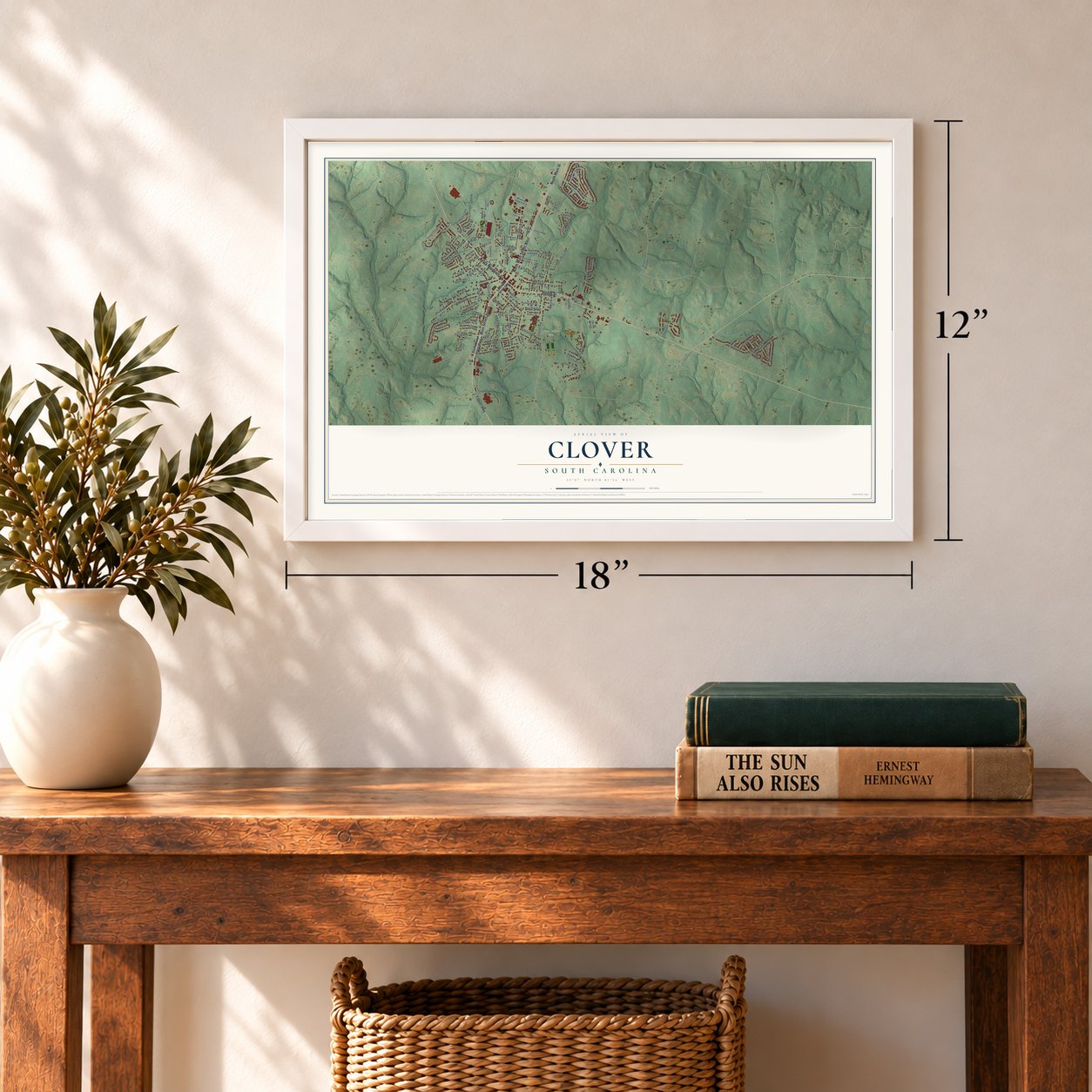
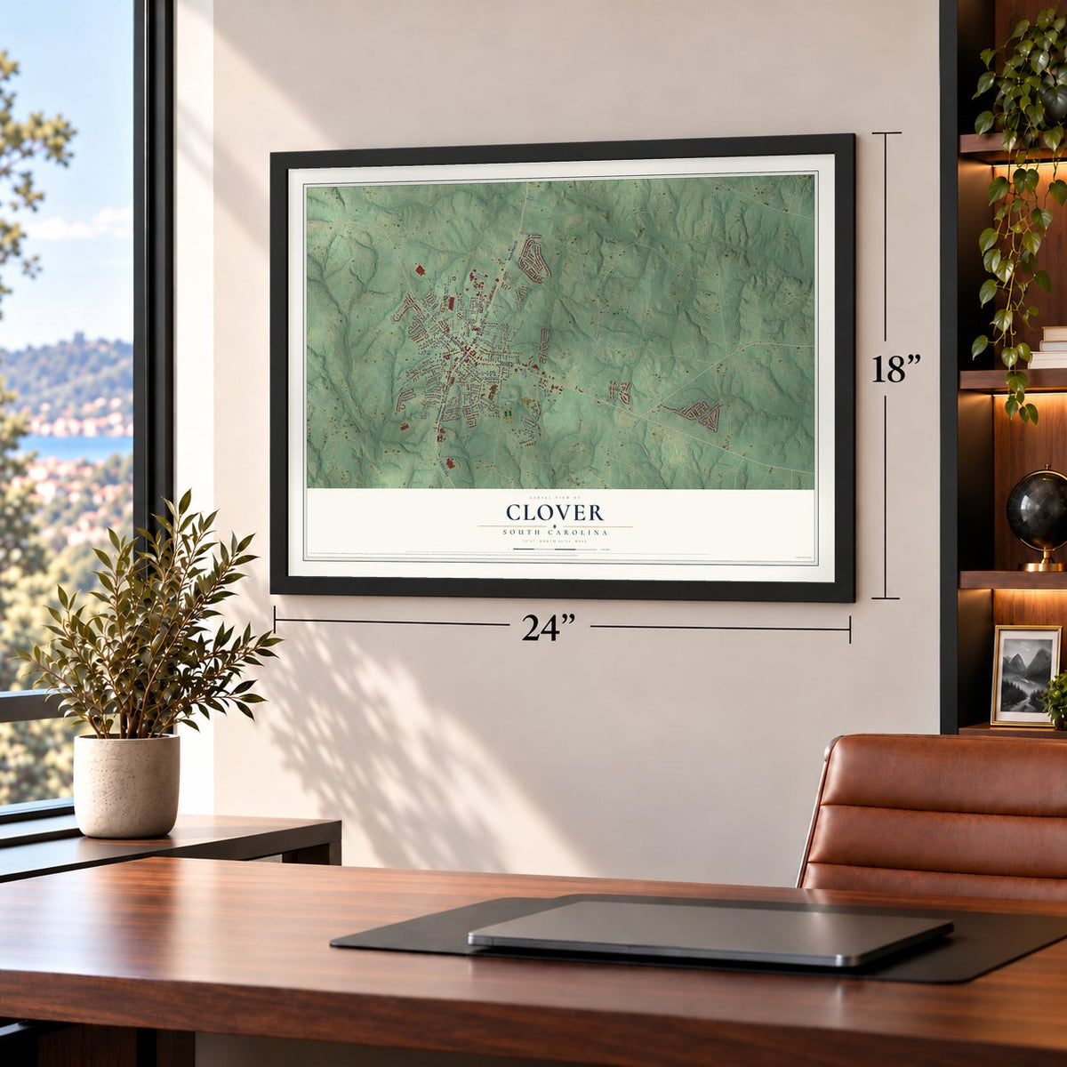
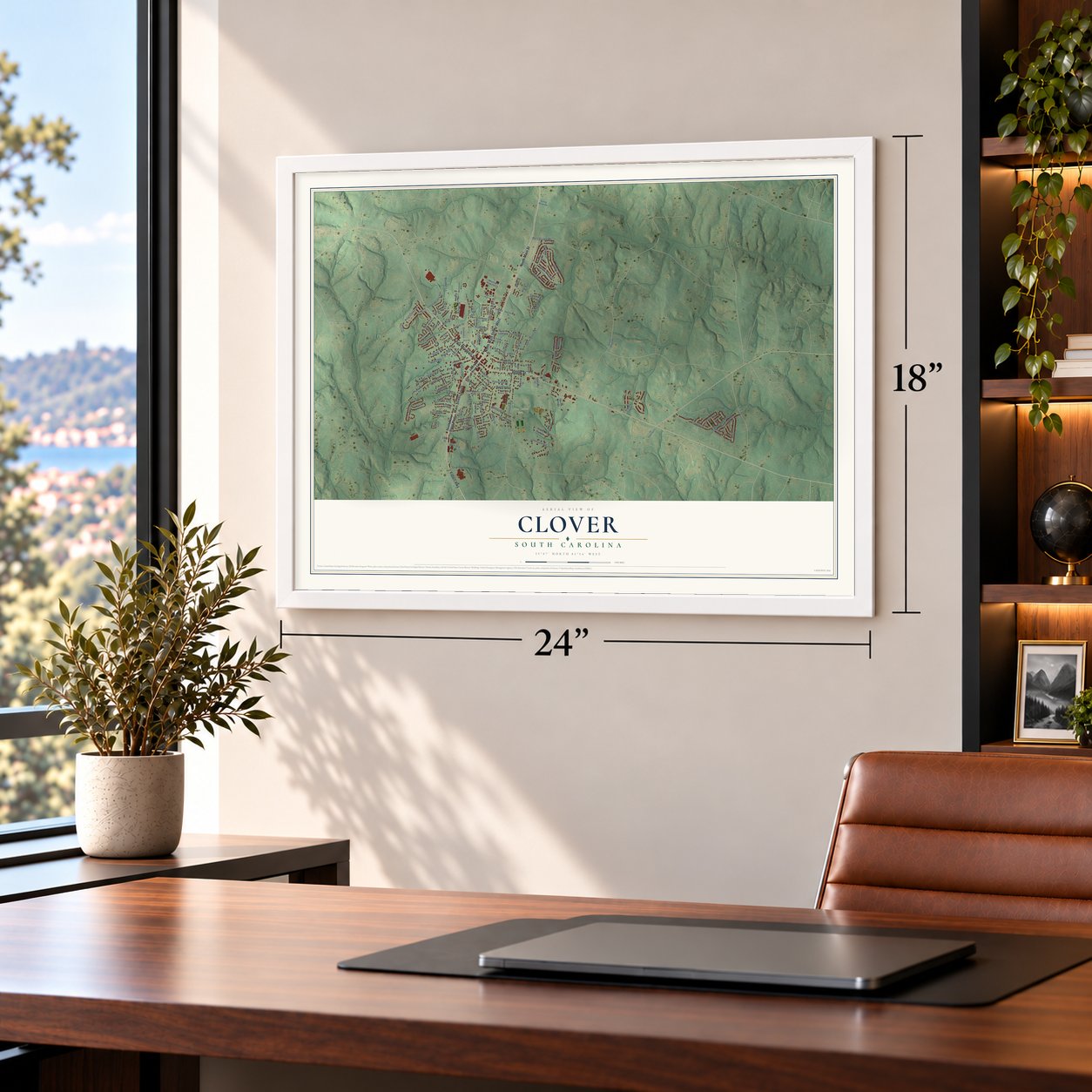
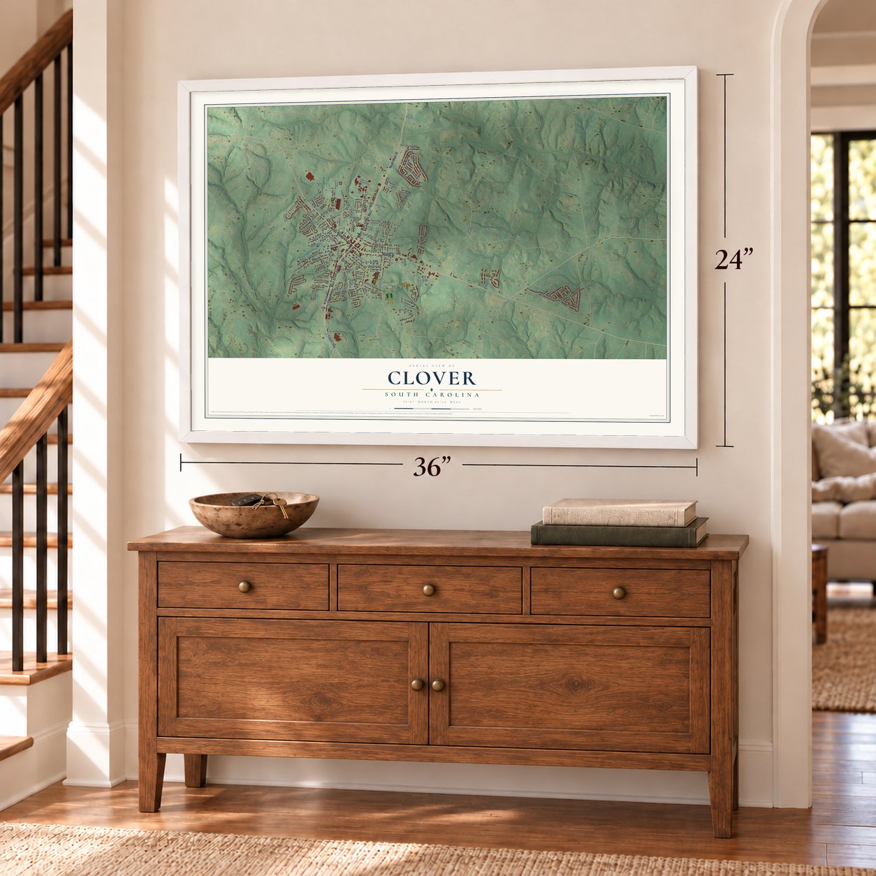
Clover, South Carolina Map Art
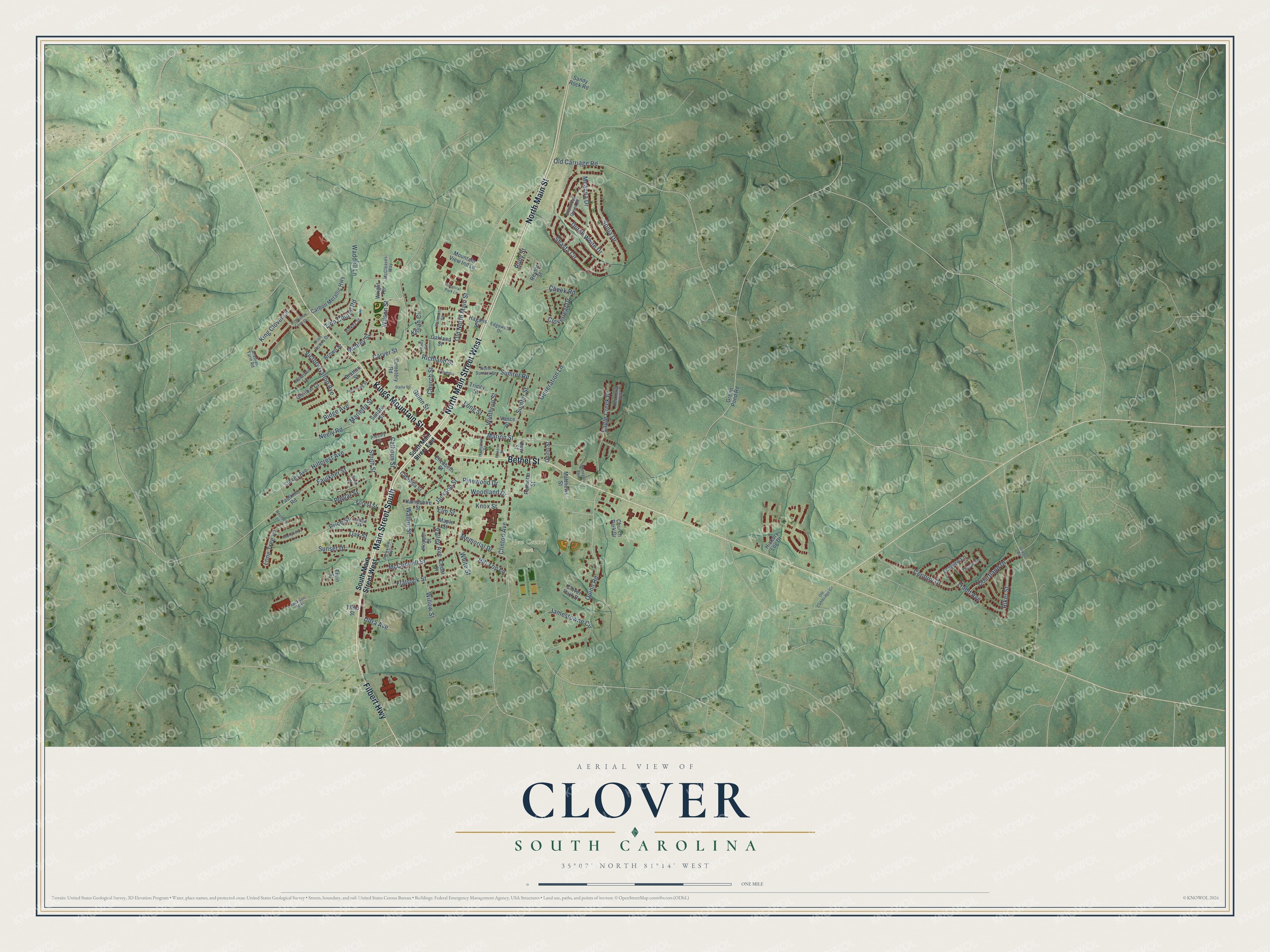
A new map of Clover, South Carolina, made in 2026 and printed to order on thick archival matte paper.
12" x 18" Archival Matte Print
A Map of Home. A Work of Art.
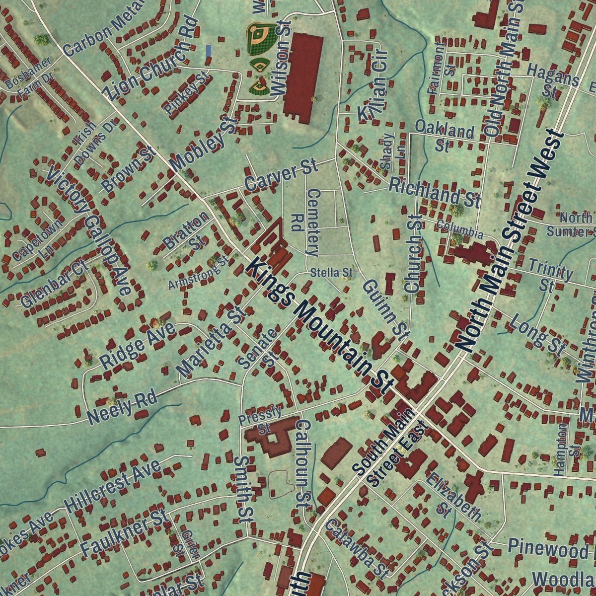
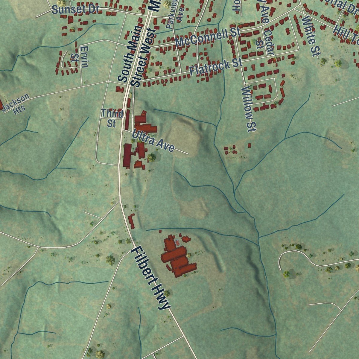
Explore Clover, South Carolina from a whole new perspective. Created using aerial imagery and detailed geographic data, this map captures Clover building by building, with labeled streets, familiar landmarks, and shaded topographical relief that highlights the natural contours of the landscape.
Combining modern data with the timeless character of a vintage atlas, this map is just as interesting up close as it is beautiful on the wall. Whether you grew up in Clover, spent memorable years there, or call it home today, this unique map is a great way to celebrate a place that means something to you. Zoom in on the preview to look for your street, and then order a print to put your memories on the wall.
Three ways to hang it
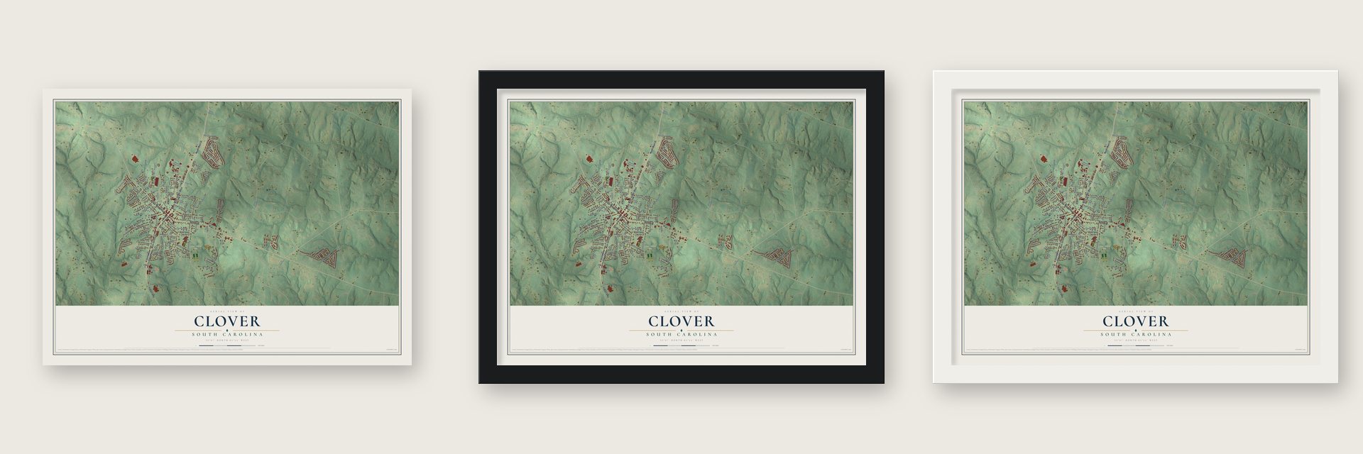
Unframed archival matte, a black wood frame or a white wood frame.
Up close
Geography Worth Displaying
This map was created using accurate cartographic data and authoritative geographic sources, including the U.S. Geological Survey and the Census Bureau. The map brings together terrain, waterways, roads, and building detail. The majority of the streets are labeled, houses are accurately depicted, and the topography is derived from government sources. Combining local data with carefully composed color and shading leads to this beautifully detailed Clover artwork for your wall.
Rather than simply showing street outlines, we’ve included as many of the street names as we could reasonably fit on the map while keeping their names legible. Zoom in on the high resolution preview to see exactly what’s on the map. We truly set out to create a statement piece for anyone who loves Clover. So whether it’s for you, or a gift for someone you love, we hope this map of Clover brings back fond memories.
Read the story behind this map of Clover, South Carolina from 2026.

About Clover, South Carolina
Clover is a town of 6,671 people in York County, in the greater Charlotte area. Before it existed, the people of northern York District gathered at Bethany to the west and Bethel to the east, where Presbyterian churches, post offices and stores served the many cotton farms around them. An older settlement called New Centre stood just south of today's town, but it faded during the Civil War.
The town grew from a railroad. The Kings Mountain Railroad had run from Chester up to Yorkville until the war destroyed its tracks, and in 1873 the new Chester and Lenoir Narrow Gauge Railroad was chartered and took over the old route. Narrow-gauge rails replaced the ruined line by 1875, and in 1876 the tracks reached on into Gaston County, North Carolina. Halfway between Yorkville and Gastonia the railroad built a water tank for its steam engines, and a stop grew up beside it. Local lore says the tank's overflow fed a patch of clover, so people called the stop "the clover patch." Clover was incorporated as a town in 1887.
- Kings Mountain, 1780On October 7, 1780, the Battle of Kings Mountain, a turning point of the American Revolution, was fought about eight miles west of where Clover stands today.
- Stores, then cotton millsWilliam Beaty Smith was one of the young town's earliest boosters, and he and his sons put up some of Clover's first stores. Several cotton mills followed, and many of them kept running until after World War II. The town's downtown joined the National Register in 1999 as the Clover Downtown Historic District.
- Henry's Knob and its kyaniteHenry's Knob, a mountain west of Clover that rises to 1120 ft, once held what was the world's largest known deposit of kyanite, and it was worked as an open-pit mine. The EPA now lists the old mine as a Superfund Alternative Site because of acid drainage and polluted groundwater.
- Sister town of LarneClover is twinned with Larne, a town on the east coast of County Antrim in Northern Ireland. The local school district honored the tie by naming Larne Elementary School after its sister city.
Find your street
Names on the Clover map
Every name below is printed on this map. Look for your street, your school, the park where you played, or the pond down the road.
Places and landmarks1
- New Centre Park
Streets and roads131
- Main Street South
- North Main Street
- Kings Mountain Street
- Bethel Street
- North Main Street West
- Filbert Highway
- Zion Church Road
- Wilson Street
- McConnell Street
- Ultra Avenue
- Marion Street
- Hillcrest Avenue
- Sumter Road
- Jackson Street
- Old North Main Street
- Quinn Road
- Smith Street
- Valley Avenue
- Guinn Street
- Shasta Circle
- Knox Street
- Eagle Creek Drive
- Neely Road
- Jamestowne Circle
- Memorial Drive
- Flatrock Street
- Clinton Avenue
- Walnut Street
- Century Drive
- Sonja Drive
Show all 131 streets
- Sumter Street
- Calhoun Street
- Price Street
- Faulkner Street
- Cheek Road
- Generation Lane
- Meanna Drive
- Mobley Street
- Courtland Drive
- Church Street
- Poplar Street
- Lone Tree Lane
- Dutch White Drive
- Hill Top Lane
- Willow Street
- Richland Street
- Sunset Drive
- Riker Street
- Victory Gallop Avenue
- Old Carriage Road
- King Clover Lane
- Ridge Avenue
- Oak Street
- Woodland Drive
- Marietta Street
- Waddell Lane
- Killian Circle
- Carver Street
- Tradd Avenue
- Cloverleaf Drive
- White Street
- Winthrop Street
- Pinewood Drive
- Long Street
- Elm Street
- Ruby Street
- South Main Street West
- Catawba Street
- Hagans Street
- Senate Street
- Carbon Metallic Highway
- Church Park Drive
- Cemetery Road
- Forest Street
- Faulkner Road
- Leeview Lane
- Sandy Rock Road
- Glenbar Court
- Matthews Street
- Trinity Street
- Rector Street
- Elizabeth Street
- Palmetto Street
- Mountain View Ind Lane
- Hampshire Street
- Stokes Avenue
- Green Pond Road
- Hopper Street
- Oakland Street
- Vance Street
- Maple Street
- Hickory Log Drive
- Clover Park Drive
- Brown Street
- Bratton Street
- Daw Street
- Quinn Street
- Wright Terrace
- Cedar Street
- Ervin Street
- Third Street
- South Main Street East
- McCleaves Way
- North Sumter Street
- Pressly Street
- Parkview Avenue
- Arabian Farm Road
- Shamrock Green Drive
- Red Hawk Way
- Jackson Heights
- Capetown Lane
- Irish Downs Drive
- Edgewood Drive
- Thorpe Lane
- Hampton Street
- Pinkey Street
- Grier Street
- Fairmont Street
- Linden Street
- Shady Lane
- Industrial Park Lane
- Boshamer Farm Drive
- Columbia
- Pennyfields Lane
- Ole Cambridge Circle
- Stella Street
- Stonegate Boulevard
- Armstrong Street
- Pickens Street
- Westland Drive
- Griggs Road
Names are listed as they appear on the printed map. Zoom into the product photos to find them.
The art of mapping a place
How This Map Was Made
Real places. Remarkable detail. Discover the layers that turn geographic data into a map of home.

The view from above
Aerial imagery reveals the character of the land: woodland, open fields, and the patterns of a place.

The shape of the land
Elevation data brings hills, valleys, and subtle changes in the landscape into view.

The details of home
Roads, waterways, and building footprints come together to make the map feel unmistakably local.

Geography becomes art
Considered color, shading, and typography bring the layers together in a map made for your wall.


Process illustrated with Mendon, Massachusetts. Aerial imagery: USDA NAIP. Terrain: USGS 3D Elevation Program. Map details and finished artwork: KNOWOL.
The Details
About This Print
Choose an archival matte print, or a black or white Ayous wood frame. The archival matte print is unframed.
Select your size and finish above to see the matching product image and price.
Materials & Craftsmanship
A contemporary map with the character of a classic atlas, printed on archival matte paper. Optional frames are made from Ayous wood.
Your printed map does not include the watermark shown in the full-map preview.
Shipping & Delivery
Free shipping within the United States. Every print is made to order in the USA.
Buying a gift? Add a note in your cart and we'll include it. We never put prices in the package.
Prints ship within 2 to 3 business days. Allow 7 to 10 days total from ordering for delivery. Timing may vary during holidays or periods of high order volume.
Read our shipping policy.
Returns and damaged prints
Each print is made to order. Change-of-mind refunds are not available after production.
If your print arrives damaged, misprinted or incorrect, contact support@knowol.com within 30 days of receiving it. Include your order number, photos and a description of the issue.
Read our full refund and replacement policy. For questions about your order, email support@knowol.com.
Find your town
Looking for another city?
Find a map of home in our South Carolina collection, or any town in the country.
Nearby
Maps of towns near Clover
Know someone from one of these towns? Their map makes a great gift.
 York
York, South Carolina
From $39.99See the map
 Lake Wylie
, South Carolina
From $39.99See the map
 Newport
, South Carolina
From $39.99See the map
More maps nearby: Smyrna, India Hook, Tega Cay, Sharon and Hickory Grove.