
Search for another town



Free U.S. delivery 7 to 10 days after you order
Aberdeen, North Carolina Map Art
A new map of Aberdeen, North Carolina, made in 2026 and printed to order on thick archival matte paper.
12" x 18" Archival Matte Print
A Map of Home. A Work of Art.
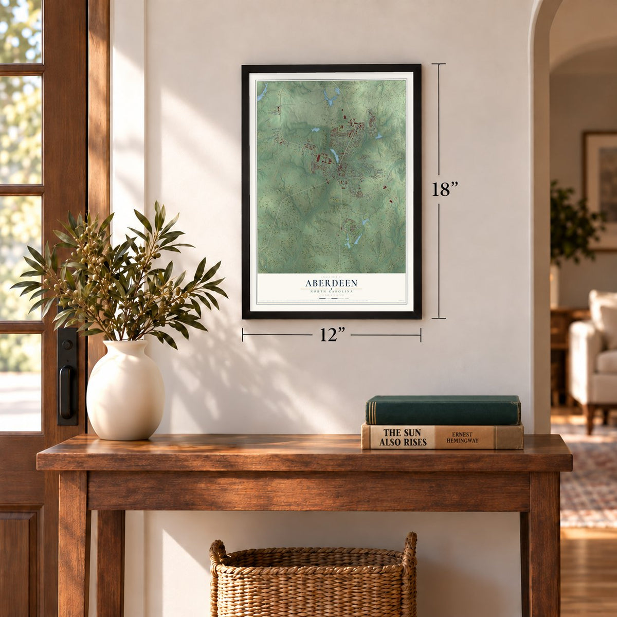
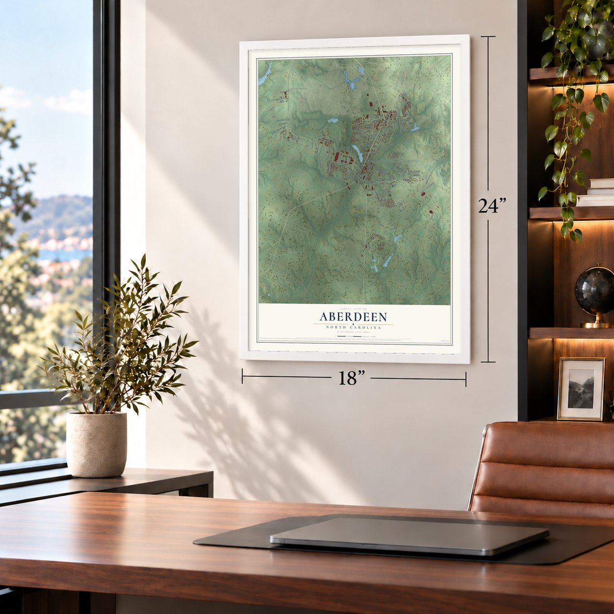
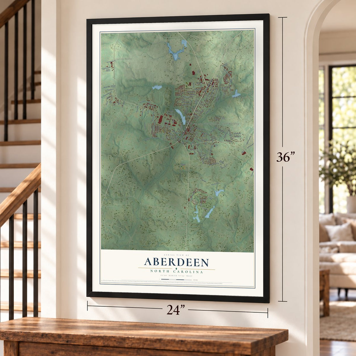
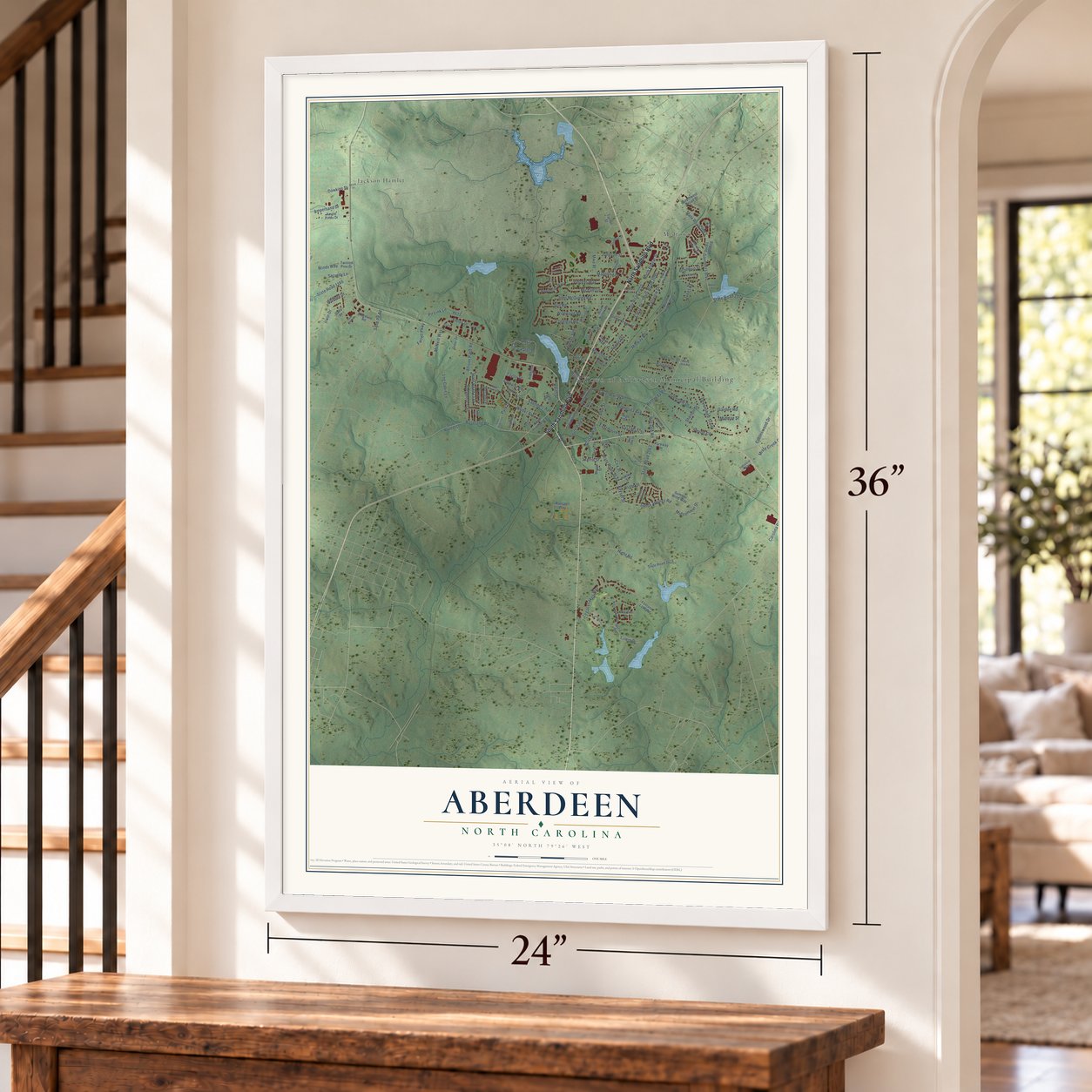
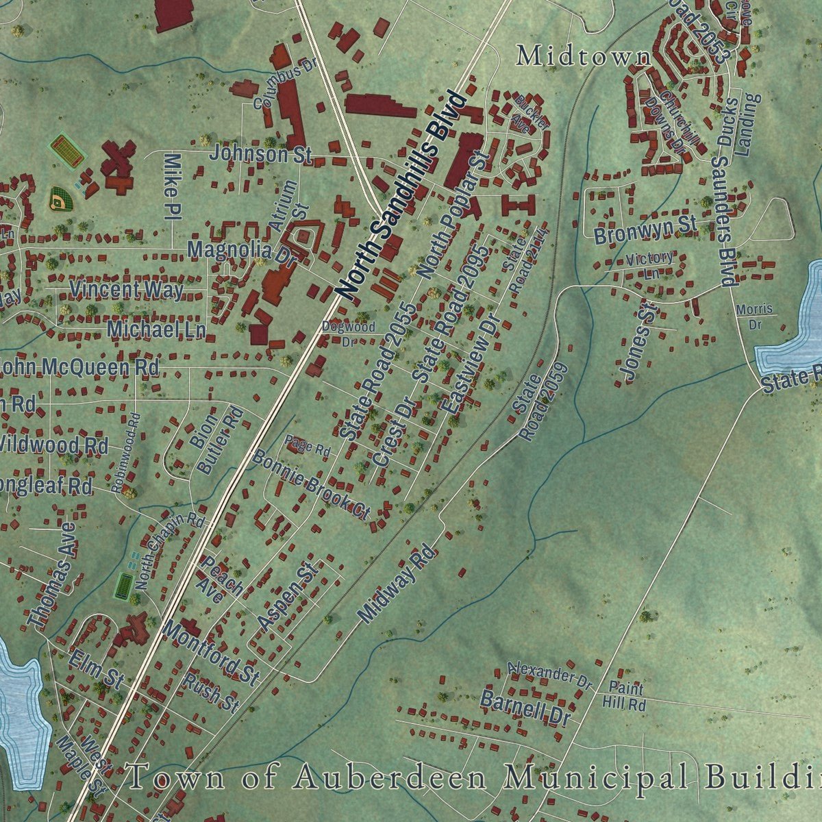
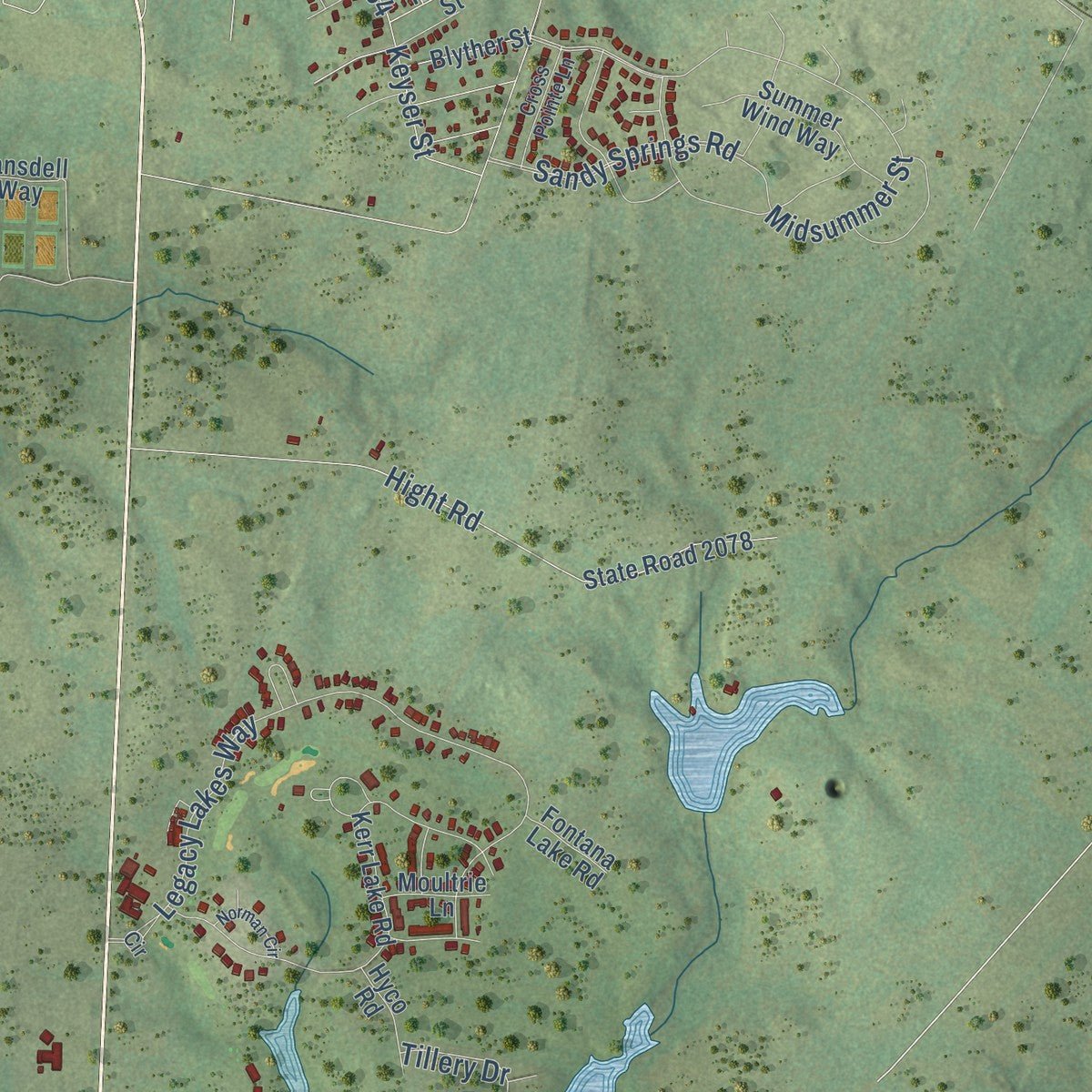
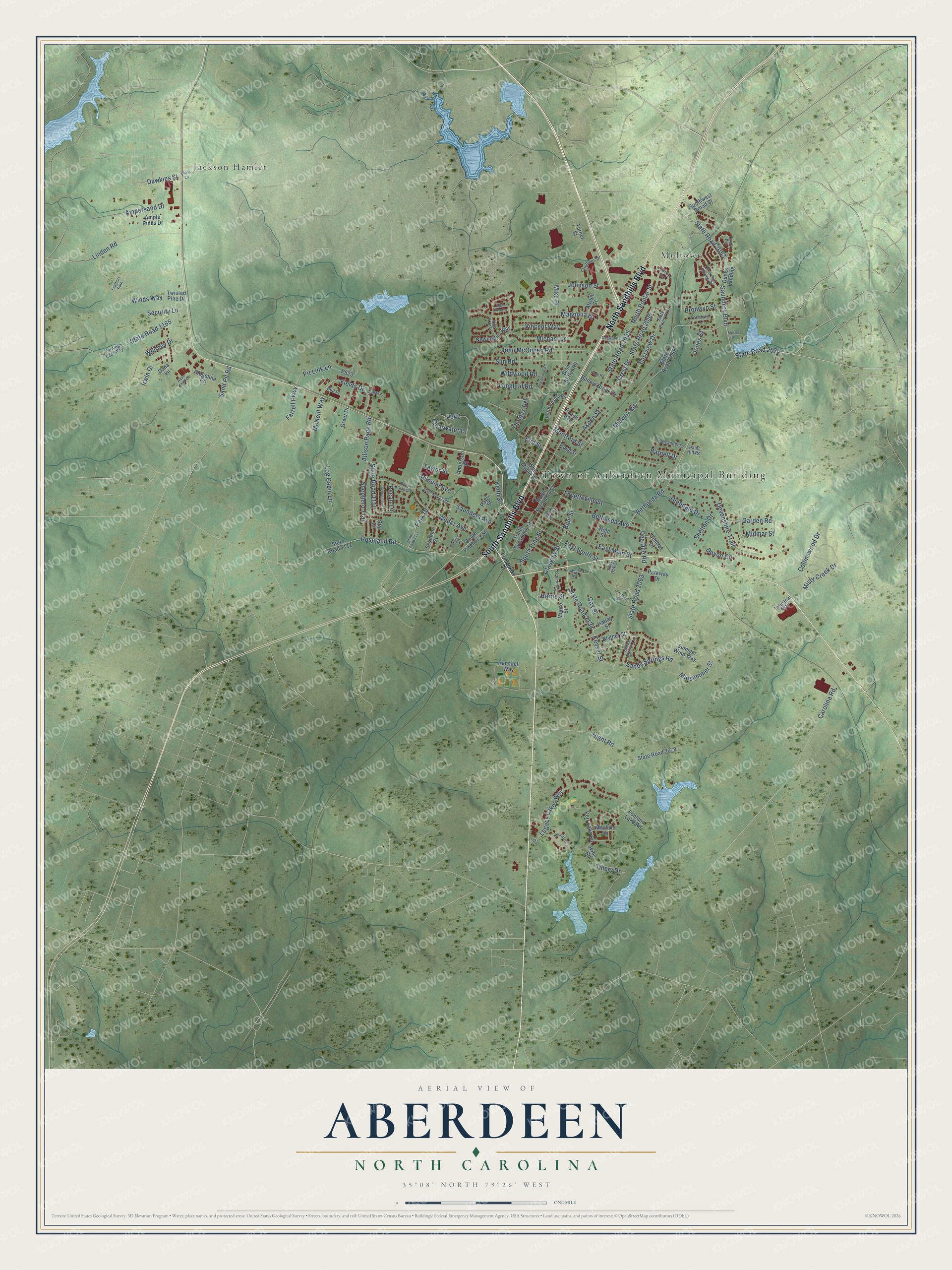
Explore Aberdeen, North Carolina from a whole new perspective. Created using aerial imagery and detailed geographic data, this map captures Aberdeen building by building, with labeled streets, familiar landmarks, and shaded topographical relief that highlights the natural contours of the landscape.
Combining modern data with the timeless character of a vintage atlas, this map is just as interesting up close as it is beautiful on the wall. Whether you grew up in Aberdeen, spent memorable years there, or call it home today, this unique map is a great way to celebrate a place that means something to you. Zoom in on the preview to look for your street, and then order a print to put your memories on the wall.
Three ways to hang it
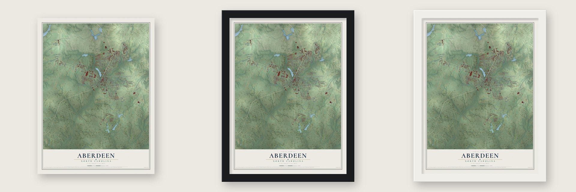
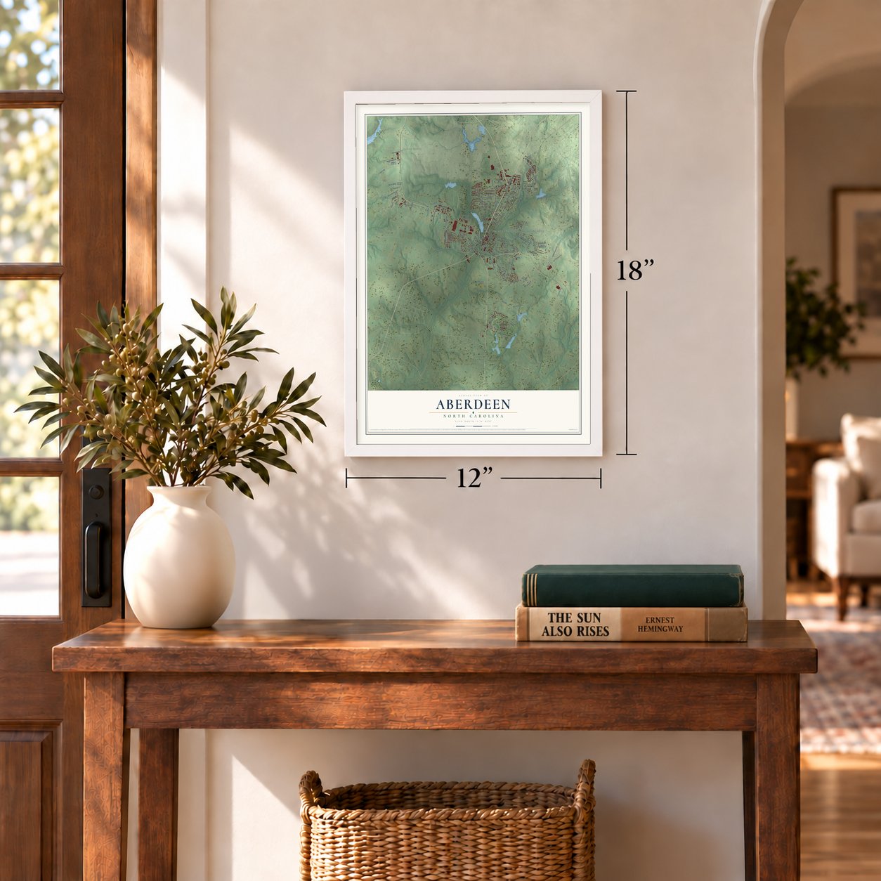
Unframed archival matte, a black wood frame or a white wood frame.
Up close
Geography Worth Displaying
This map was created using accurate cartographic data and authoritative geographic sources, including the U.S. Geological Survey and the Census Bureau. The map brings together terrain, waterways, roads, and building detail. The majority of the streets are labeled, houses are accurately depicted, and the topography is derived from government sources. Combining local data with carefully composed color and shading leads to this beautifully detailed Aberdeen artwork for your wall.
Rather than simply showing street outlines, we’ve included as many of the street names as we could reasonably fit on the map while keeping their names legible. Zoom in on the high resolution preview to see exactly what’s on the map. We truly set out to create a statement piece for anyone who loves Aberdeen. So whether it’s for you, or a gift for someone you love, we hope this map of Aberdeen brings back fond memories.
Read the story behind this map of Aberdeen, North Carolina from 2026.
About Aberdeen, North Carolina
Aberdeen is a town of 8,516 people in southern Moore County, in the Sandhills of North Carolina. Scottish emigrants began settling here in 1745, attracted by good hunting and unbroken land, and before the 18th century ended they had founded two communities, Bethesda and Blue's Crossing. Tall pines covered the region, so naval stores became one of the first local industries. Those goods first went down the Cape Fear River to Wilmington and later traveled by plank road.
The Civil War hit the area hard. More than 1,500 local men went to fight, and close to a third of them died, leaving the farms and forests short of workers. After the war the Raleigh and Augusta Air Line Railroad reached Blue's Crossing, and the village could ship its timber and naval stores across the country. A post office opened in 1877 with Malcolm J. Blue as postmaster, and in 1888 Blue's Crossing officially became Aberdeen.
- A Loyalist neighborhoodMost people living around present-day Aberdeen sided with the Crown during the American Revolution. The best known fight nearby came at Ray's Mill Creek. Colonel Philip Alston, owner of the House in the Horseshoe, was chasing the Loyalist leader Colonel David Fanning, and he caught and brutally beat Kenneth Black, a local man who had guided Fanning through the area.
- Land for $1 an acreAllison F. Page bought large tracts of forest near Aberdeen to cut timber and lay a rail line. Once the trees were gone, James Walker Tufts paid $1 an acre for the cleared ground, and it became the Pinehurst Resort, famous for golf. Being next door to Pinehurst brought Aberdeen a boom in tourism and retirement, and both still drive the town's economy.
- Rails to StarIn 1889 the Aberdeen & West End Railroad received a charter for a line running from Aberdeen north to Star. A second company, the Asheboro & Montgomery, worked toward Star from Asheboro, finishing its track in 1896. Tobacco farming arrived in the early twentieth century, adding another crop for the rails to carry.
Find your street
Names on the Aberdeen map
Every name below is printed on this map. Look for your street, your school, the park where you played, or the pond down the road.
Places and landmarks3
- Town of Auberdeen Municipal Building
- Jackson Hamlet
- Midtown
Streets and roads154
- North Sandhills Boulevard
- South Sandhills Boulevard
- Saunders Boulevard
- State Road 2074
- Bethesda Road
- Colonial Avenue
- Aspen Street
- Shelton Drive
- Bronwyn Street
- Sand Pit Road
- State Road 2055
- North Poplar Street
- Sandy Springs Road
- Midway Road
- Pee Dee Road
- State Road 2063
- Legacy Lakes Way
- Winds Way
- State Road 2053
- Hight Road
- Devonshire Trail
- State Road 2134
- Saunders Avenue
- Sun Road
- State Road 1110
- Whitney Drive
- Keyser Street
- Magnolia Drive
- Misty Creek Drive
- Roseland Road
Show all 154 streets
- Shepherd Trail
- East Main Street
- John McQueen Road
- Clearwater Drive
- Johnson Street
- Pit Link Lane
- Wilder Avenue
- State Road 1165
- Eastview Drive
- Midsummer Street
- Irwin Drive
- Longleaf Road
- Crest Drive
- State Road 2095
- Log Cabin Lane
- Ampersand Drive
- Glasgow Street
- Fields Drive
- East South Street
- Collinswood Drive
- Tillery Drive
- Michael Lane
- Elm Street
- Park Drive
- Bethesda Avenue
- Glendale Drive
- Montford Street
- South Pine Street
- Farrell Parkway
- Garden Road
- Vincent Way
- Dawkins Street
- Carolina Road
- Allison Page Road
- Fayetteville Street
- Linden Road
- Keith Street
- Wildwood Road
- Devon Circle
- Taylor Street
- Security Lane
- Blue Street
- Thomas Avenue
- McNeill Way
- Harris Street
- Midmar Street
- Barnell Drive
- Cox Street
- Pecan Lane
- Jones Street
- Mike Place
- State Road 2059
- State Road 2078
- Kerr Lake Road
- North Sycamore Street
- State Road 1112
- Ransdell Way
- Seymour Street
- South Pinehurst Street
- Ridgeline Road
- Newington Way
- Summer Wind Way
- Bion Butler Road
- South Sycamore Street
- Ample Pines Drive
- Bonnie Brook Court
- Southwest Broad Street
- Dana Lane
- West Maple Street
- Peach Avenue
- Parkway Drive
- Page Street
- High Street
- Atrium Street
- Ducks Landing
- Blyther Street
- Moore Street
- Central Drive
- Hyco Road
- Moultrie Lane
- Anderson Street
- Greer Drive
- Fontana Lake Road
- Hatley Street
- Twisted Pine Drive
- Rush Street
- Turner Street
- Star Court
- State Road 2114
- North Chapin Road
- Cove Circle
- Churchill Downs Drive
- Alexander Drive
- Debnan Street
- Columbus Drive
- Cross Pointe Lane
- Victory Lane
- Turning Leaf Way
- Industrial Way
- Paint Hill Road
- Bud Place
- East Oak Street
- Circle
- Poindexter Street
- State Road 1109
- State Road 1111
- Pecan Grove Drive
- Foothills Street
- Buckler Avenue
- Olivia Lane
- Carolina Street
- Robinwood Road
- Bethune Avenue
- Woodgreen Lane
- Page Road
- North Pine Street
- Dogwood Drive
- Norman Circle
- Pine Brae Lane
- Aqua Shed Court
- Jordan Place
- High Tower Lane
- Feathers Path
- Morris Drive
Names are listed as they appear on the printed map. Zoom into the product photos to find them.
The art of mapping a place
How This Map Was Made
Real places. Remarkable detail. Discover the layers that turn geographic data into a map of home.

The view from above
Aerial imagery reveals the character of the land: woodland, open fields, and the patterns of a place.

The shape of the land
Elevation data brings hills, valleys, and subtle changes in the landscape into view.

The details of home
Roads, waterways, and building footprints come together to make the map feel unmistakably local.

Geography becomes art
Considered color, shading, and typography bring the layers together in a map made for your wall.


Process illustrated with Mendon, Massachusetts. Aerial imagery: USDA NAIP. Terrain: USGS 3D Elevation Program. Map details and finished artwork: KNOWOL.
The Details
About This Print
Choose an archival matte print, or a black or white Ayous wood frame. The archival matte print is unframed.
Select your size and finish above to see the matching product image and price.
Materials & Craftsmanship
A contemporary map with the character of a classic atlas, printed on archival matte paper. Optional frames are made from Ayous wood.
Your printed map does not include the watermark shown in the full-map preview.
Shipping & Delivery
Free shipping within the United States. Every print is made to order in the USA.
Buying a gift? Add a note in your cart and we'll include it. We never put prices in the package.
Prints ship within 2 to 3 business days. Allow 7 to 10 days total from ordering for delivery. Timing may vary during holidays or periods of high order volume.
Read our shipping policy.
Returns and damaged prints
Each print is made to order. Change-of-mind refunds are not available after production.
If your print arrives damaged, misprinted or incorrect, contact support@knowol.com within 30 days of receiving it. Include your order number, photos and a description of the issue.
Read our full refund and replacement policy. For questions about your order, email support@knowol.com.
Find your town
Looking for another city?
Find a map of home in our North Carolina collection, or any town in the country.
Nearby
Maps of towns near Aberdeen
Know someone from one of these towns? Their map makes a great gift.
 Pinebluff
, North Carolina
From $39.99See the map
 Pinehurst
, North Carolina
From $39.99See the map
 Southern Pines
, North Carolina
From $39.99See the map
More maps nearby: Ashley Heights, Taylortown, Foxfire, Whispering Pines and Five Points.