
Search for another town





Free U.S. delivery 7 to 10 days after you order
Pinehurst, North Carolina Map Art
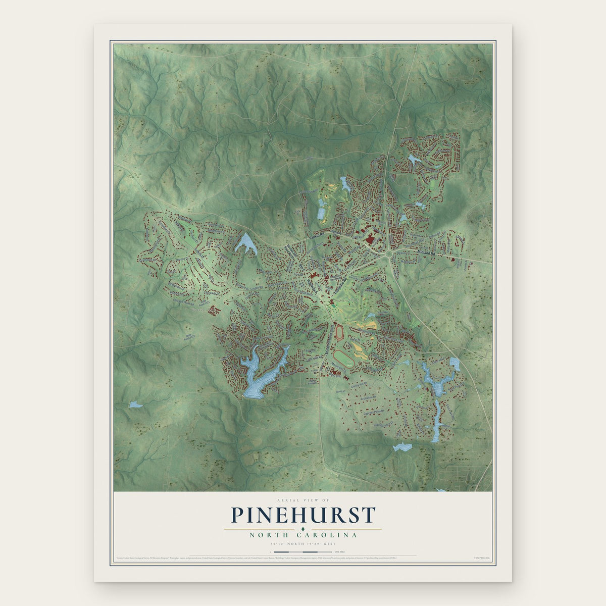
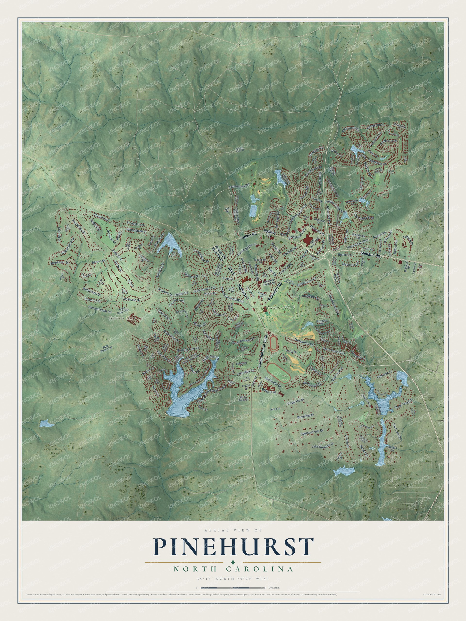
A new map of Pinehurst, North Carolina, made in 2026 and printed to order on thick archival matte paper.
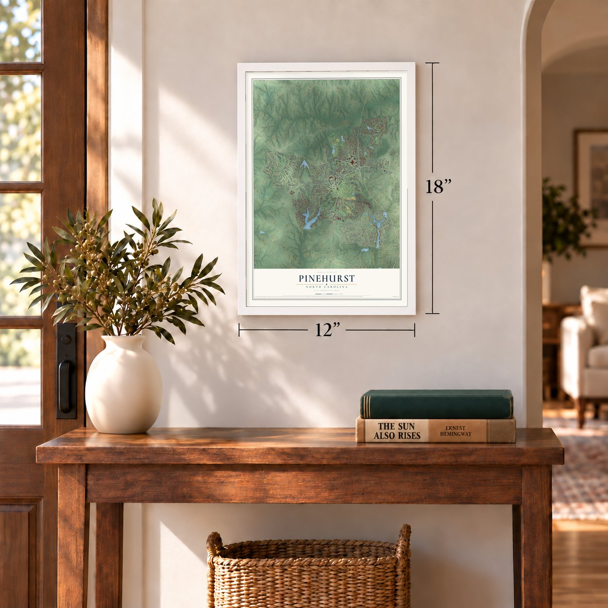
12" x 18" Archival Matte Print
A Map of Home. A Work of Art.
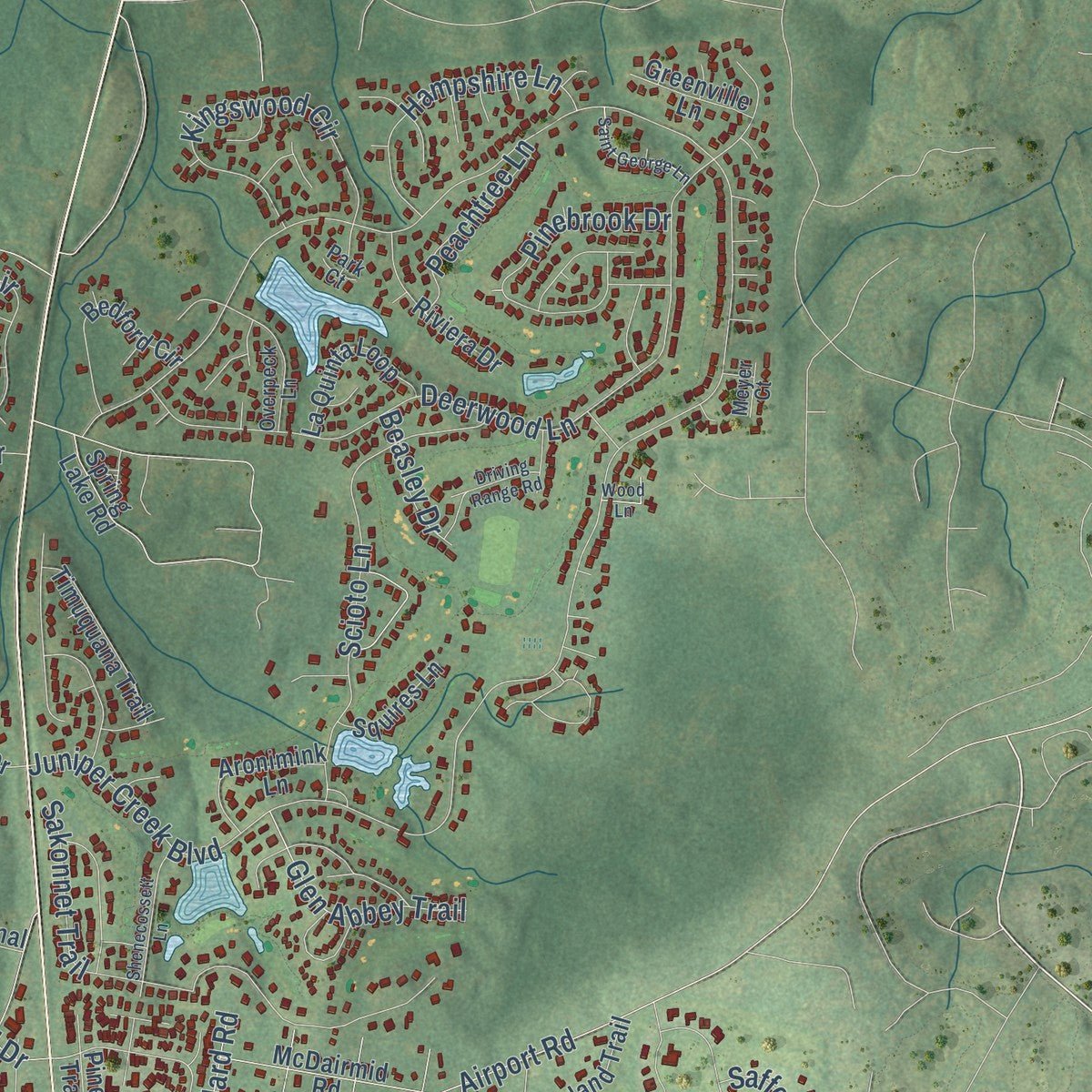
Explore Pinehurst, North Carolina from a whole new perspective. Created using aerial imagery and detailed geographic data, this map captures Pinehurst building by building, with labeled streets, familiar landmarks, and shaded topographical relief that highlights the natural contours of the landscape.
Combining modern data with the timeless character of a vintage atlas, this map is just as interesting up close as it is beautiful on the wall. Whether you grew up in Pinehurst, spent memorable years there, or call it home today, this unique map is a great way to celebrate a place that means something to you. Zoom in on the preview to look for your street, and then order a print to put your memories on the wall.
Three ways to hang it
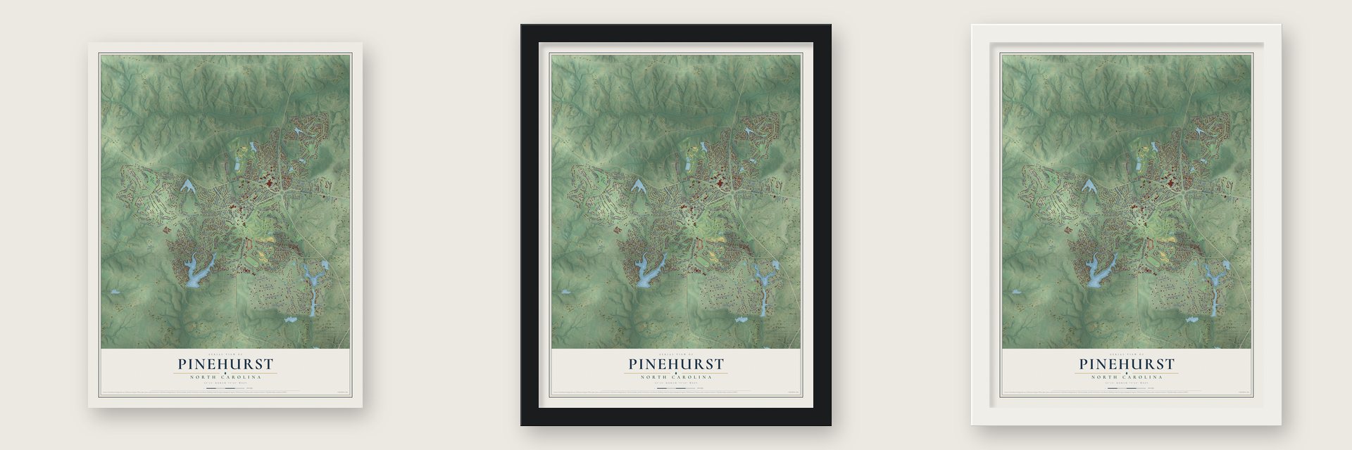
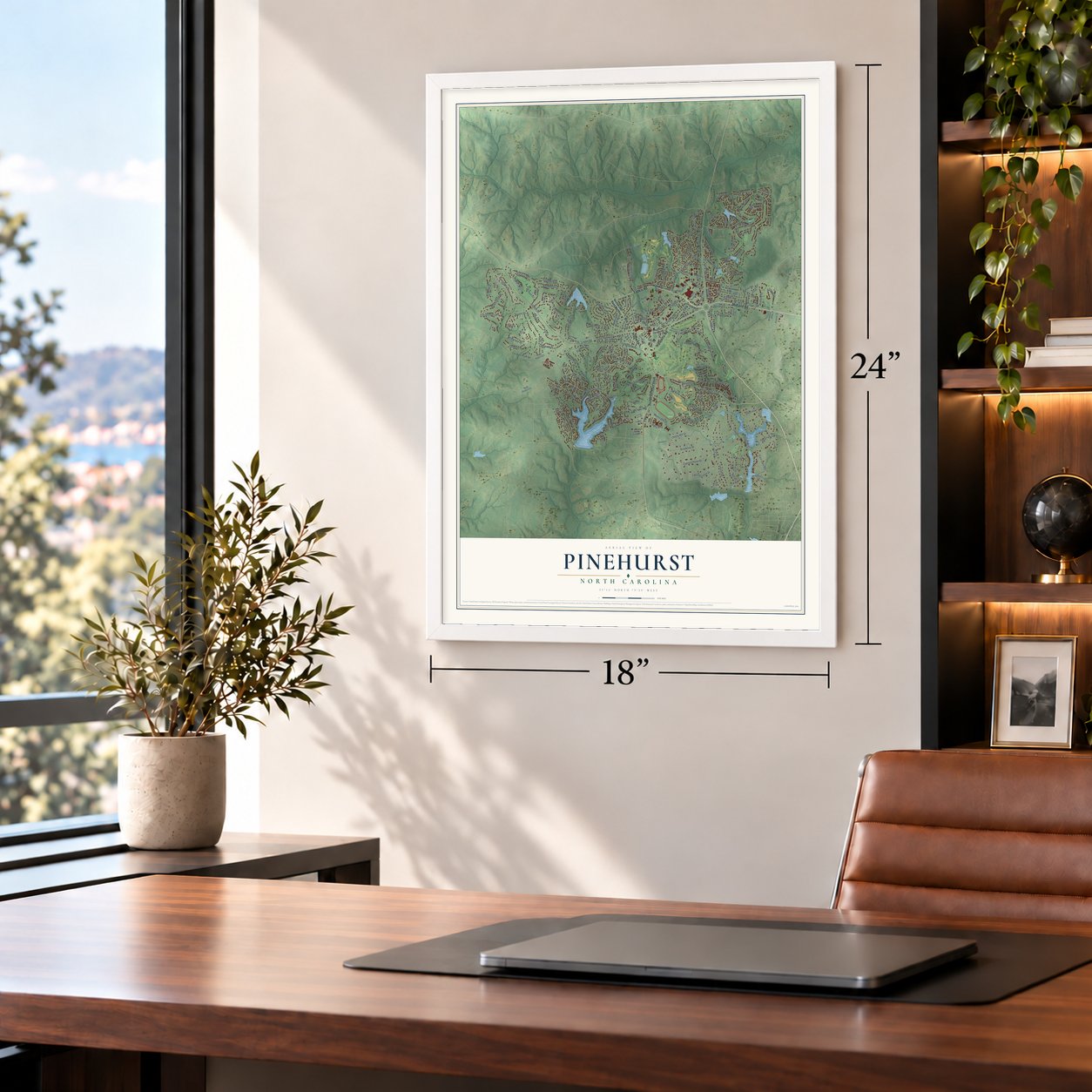
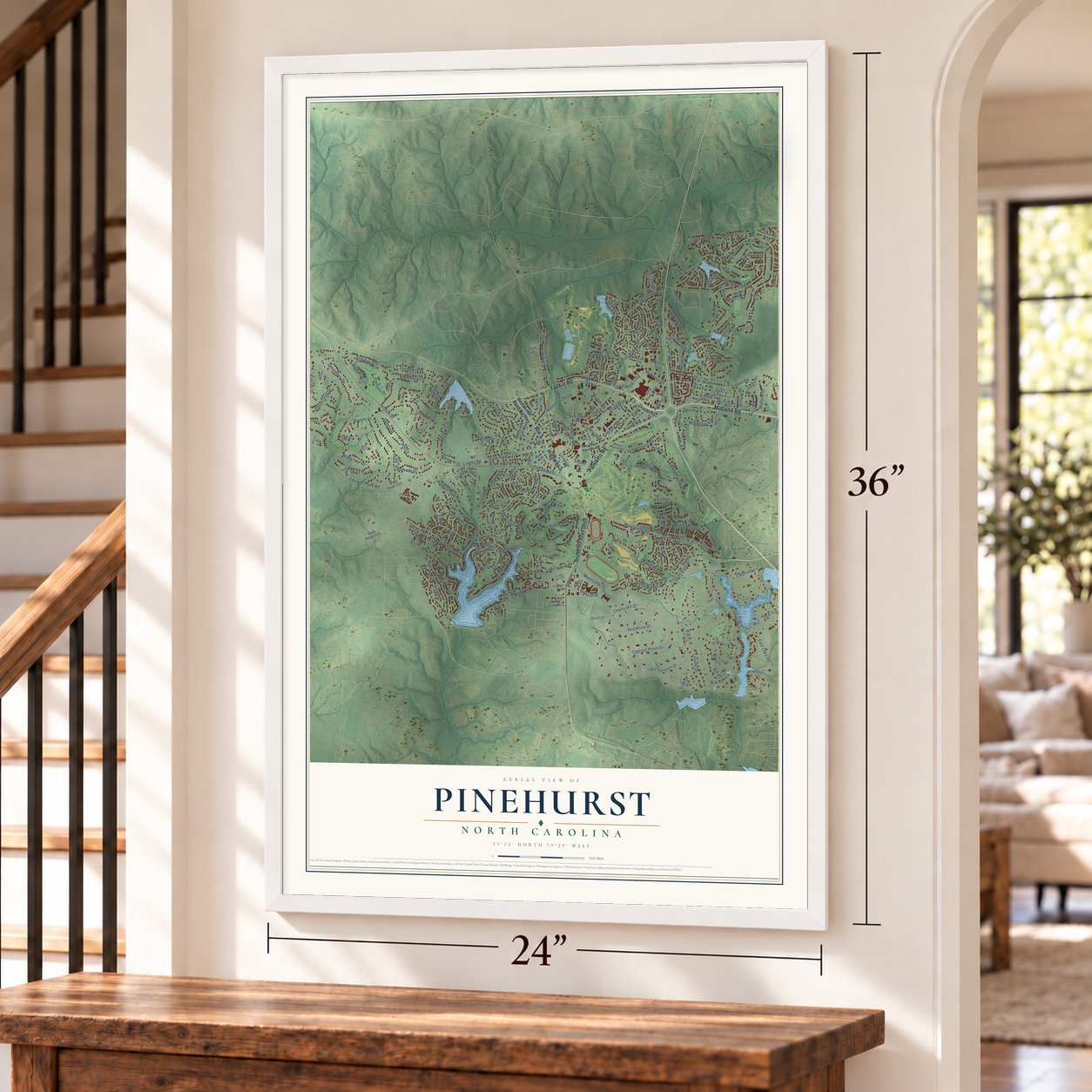
Unframed archival matte, a black wood frame or a white wood frame.
Up close
Geography Worth Displaying
This map was created using accurate cartographic data and authoritative geographic sources, including the U.S. Geological Survey and the Census Bureau. The map brings together terrain, waterways, roads, and building detail. The majority of the streets are labeled, houses are accurately depicted, and the topography is derived from government sources. Combining local data with carefully composed color and shading leads to this beautifully detailed Pinehurst artwork for your wall.
Rather than simply showing street outlines, we’ve included as many of the street names as we could reasonably fit on the map while keeping their names legible. Zoom in on the high resolution preview to see exactly what’s on the map. We truly set out to create a statement piece for anyone who loves Pinehurst. So whether it’s for you, or a gift for someone you love, we hope this map of Pinehurst brings back fond memories.
Read the story behind this map of Pinehurst, North Carolina from 2026.

About Pinehurst, North Carolina
Pinehurst is a village of 17,581 people in southern Moore County, in the North Carolina Sandhills. In 1895 James Walker Tufts bought 500 acres of land here at about $1.25 an acre, and he later added another 5,500. He planned a health resort that people of modest means could afford, and he hired Frederick Law Olmsted to lay out a village of curving lanes around a central green.
While it was being built, the place went by Tuftstown and Pinealia. The name Pinehurst had been offered in a contest to name a new development on Martha's Vineyard, and when it lost there, Tufts took it for his own village by December 1895. The first guests arrived in January 1896, and the first golf course was laid out in 1897 and 1898.
- Pinehurst No. 2 in 1907Donald Ross designed Pinehurst No. 2, the resort's best known course, and it was finished in 1907. Six years earlier, in 1901, Pinehurst held its first championship, the United North and South Amateur.
- Four U.S. Opens since 1999The Pinehurst Resort has hosted the men's U.S. Open four times since 1999, most recently in 2024. It is one of three anchor sites for the tournament, which is scheduled to come back in 2029, 2035, 2041 and 2047.
- A cornerstone in 1929Members laid the cornerstone of the Pinehurst Community Church on a Sunday afternoon, March 2, 1929. The church's own history remembers it as a day of great rejoicing.
- A general and an astronautGeorge C. Marshall, the Army chief of staff who went on to serve as secretary of state and secretary of defense, is among Pinehurst's notable people. So are NASA astronaut Charles E. Brady Jr., Navy admiral William H. McRaven and LPGA golfer Donna Andrews.
Find your street
Names on the Pinehurst map
Every name below is printed on this map. Look for your street, your school, the park where you played, or the pond down the road.
Places and landmarks3
- Garren Hill
- Polo Field
- Pinehurst No. 2
Streets and roads233
- Yadkin Road
- Highway 5
- Route 5
- Midland Road
- Palmetto Road
- McKenzie Road West
- Graham Road
- Morganton Road
- Lake Dornoch Drive
- Juniper Creek Boulevard
- Saint Andrews Drive
- Diamondhead Drive South
- Burning Tree Road
- Linden Road
- State Road 1115
- Monticello Drive
- Stoneykirk Drive
- State Road 1205
- Inverrary Road
- McMichael Drive
- Deerwood Lane
- Pinewild Drive
- Glasgow Drive
- Quail Run
- Pomeroy Drive
- Donald Ross Drive
- Bel Air Drive
- Abbottsford Drive
- Longleaf Drive East
- Chicken Plant Road
Show all 233 streets
- Brookline Drive
- Page Road
- Quail Hollow
- Kilbride Drive
- Greyabbey Drive
- Sakonnet Trail
- Spring Lake Drive
- East Lake Drive
- Airport Road
- State Road 1843
- Magnolia Road
- Cypress Point Drive
- Scioto Lane
- Devon Drive
- Cherry Hill Drive
- Sandhills Circle
- Pine Vista Drive
- Sugar Pine Drive
- Midland Drive
- Memorial Drive
- State Road 1321
- Barons Drive
- Hearthstone Road
- Oakmont Circle
- Kingswood Circle
- Adams Circle
- Blake Boulevard
- Sugar Gum Lane
- Doral Drive
- Gun Club Road
- Dundee Road
- Whitehaven Drive
- Ponte Vedra Drive
- Brookhaven Road
- Pinebrook Drive
- Lasswade Drive
- Everette Road
- Eldorado Lane
- Merion Circle
- Pinyon Circle
- Linville Drive
- Hampshire Lane
- Edinburg Drive
- Canter Lane
- Kelly Road
- Abington Drive
- Bridle Path Circle
- Lake Hills Road
- Fox Run Road
- Glen Abbey Trail
- Centennial Boulevard
- Rassie Wicker Drive
- Gray Fox Run
- Beaver Lane
- Beryl Circle
- Strathaven Drive
- Frye Road
- Aviemore Drive
- Magnolia Avenue
- Peachtree Lane
- Ashkirk Drive
- Hillard Road
- Halkirk Drive
- Woods Road
- Safford Drive
- Forest Lane
- Melrose Drive
- Oak Hills Place
- Beasley Drive
- Glenbarr Court
- Troon Drive
- Statler Lane
- Spur Road
- Beulah Hill Road North
- Beulah Hill Road South
- Highway 211
- Cabot Circle
- Forest Hills Drive
- Pinehurst Trace Drive
- Granger Drive
- State Road 1121
- Longleaf Drive Southwest
- State Road 1208
- Lake Forest Drive Southwest
- Wheeling Drive
- Clubhouse Drive
- Oxton Circle
- Lake View Drive East
- McCaskill Road
- Lost Tree Road
- Holly Pines Drive
- Baltusrol Lane
- Azalea Road
- Bedford Circle
- McDairmid Road
- Spring Lake Road
- Lochmere Drive
- Pitch Pine Lane
- Timuquana Trail
- La Quinta Loop
- Ridgewood Road
- Midland Trail
- Midland Lane
- McDonald Road West
- Riviera Drive
- Cherokee Road East
- Lake Shore Drive
- Idlewild Road
- Aronimink Lane
- Caddell Road
- State Road 1122
- Blue Road
- Fairway Drive
- Lodge Pole Lane
- Regional Drive
- Pinehurst Manor
- Westlake Road
- Starlit Lane
- Greenville Lane
- Squires Lane
- Forrest Drive
- Wilson Road
- Williams Road
- Palmer Drive
- Dawn Road
- Olivia Lane
- Boat House Lane
- Trotter Drive
- Redtail Lane
- Latorce Place
- Lark Drive
- Ash Court
- Orrin Court
- Lake Forest Drive Southeast
- Short Road
- Thorne Road
- National Drive
- Salem Drive
- Briarwood Circle
- Winchester Road
- Tamarisk Lane
- Brook Hollow Drive
- Horse Creek Run
- Augusta National Drive
- Oak Meadow Road
- Parker Lane
- Old Hunt Road
- Overpeck Lane
- Carolina Vis
- Muster Branch Road
- Dalrymple Road
- Juniper Lake Road
- Sedgwyck Drive
- Parson Road
- Melfort Drive
- Culdee Road
- Barkley Drive
- Pine Valley Road
- Queens Court
- Moore Drive
- Raleigh Drive
- New Castle Place
- Bankfoot Drive
- Cedar Lane
- Dove Run
- Airdrie Court
- Opal Lane
- Ruby Lane
- Meyer Court
- Oak Lane
- Surry Lane
- Park Court
- Longleaf Drive West
- Apawamis Circle
- Surry Circle South
- Lake Forest Drive
- Westlake Point Drive
- McDonald Road East
- Trotter Hills Circle
- Pine Valley Drive
- Huntington Valley Drive
- Alley Acc
- Shenecossett Lane
- Firestone Drive
- Driving Range Road
- Pinehurst Manor Drive
- Turtle Point Road
- Braemar Road
- Saint George Lane
- Thunderbird Lane
- Whithorn Court
- Orange Road
- Vardon Road
- Robin Lane
- Sulky Lane
- Rockland Lane
- Wood Lane
- Harness Place
- Beckett Ridge
- Kirkton Court
- Osage Lane
- Love Lane
- Tull Lane
Names are listed as they appear on the printed map. Zoom into the product photos to find them.
The art of mapping a place
How This Map Was Made
Real places. Remarkable detail. Discover the layers that turn geographic data into a map of home.

The view from above
Aerial imagery reveals the character of the land: woodland, open fields, and the patterns of a place.

The shape of the land
Elevation data brings hills, valleys, and subtle changes in the landscape into view.

The details of home
Roads, waterways, and building footprints come together to make the map feel unmistakably local.

Geography becomes art
Considered color, shading, and typography bring the layers together in a map made for your wall.


Process illustrated with Mendon, Massachusetts. Aerial imagery: USDA NAIP. Terrain: USGS 3D Elevation Program. Map details and finished artwork: KNOWOL.
The Details
About This Print
Choose an archival matte print, or a black or white Ayous wood frame. The archival matte print is unframed.
Select your size and finish above to see the matching product image and price.
Materials & Craftsmanship
A contemporary map with the character of a classic atlas, printed on archival matte paper. Optional frames are made from Ayous wood.
Your printed map does not include the watermark shown in the full-map preview.
Shipping & Delivery
Free shipping within the United States. Every print is made to order in the USA.
Buying a gift? Add a note in your cart and we'll include it. We never put prices in the package.
Prints ship within 2 to 3 business days. Allow 7 to 10 days total from ordering for delivery. Timing may vary during holidays or periods of high order volume.
Read our shipping policy.
Returns and damaged prints
Each print is made to order. Change-of-mind refunds are not available after production.
If your print arrives damaged, misprinted or incorrect, contact support@knowol.com within 30 days of receiving it. Include your order number, photos and a description of the issue.
Read our full refund and replacement policy. For questions about your order, email support@knowol.com.
Find your town
Looking for another city?
Find a map of home in our North Carolina collection, or any town in the country.
Nearby
Maps of towns near Pinehurst
Know someone from one of these towns? Their map makes a great gift.
 Taylortown
, North Carolina
From $39.99See the map
 Southern Pines
, North Carolina
From $39.99See the map
 Aberdeen
, North Carolina
From $39.99See the map
More maps nearby: Foxfire, Pinebluff, Whispering Pines, Seven Lakes and Ashley Heights.