
Search for another town

Free U.S. delivery 7 to 10 days after you order
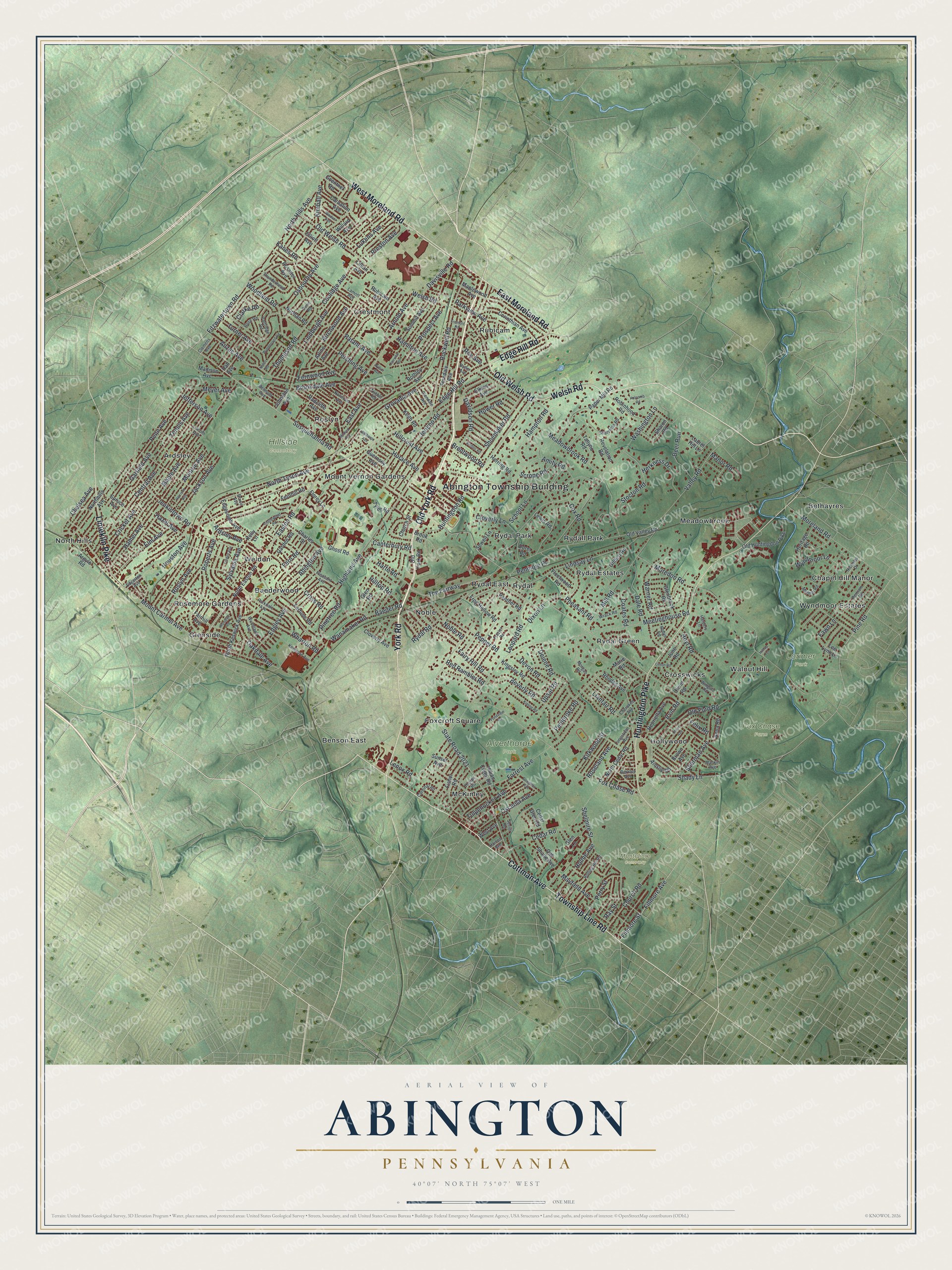
Abington, Pennsylvania Map Art
Building by building, with labeled streets and shaded relief.
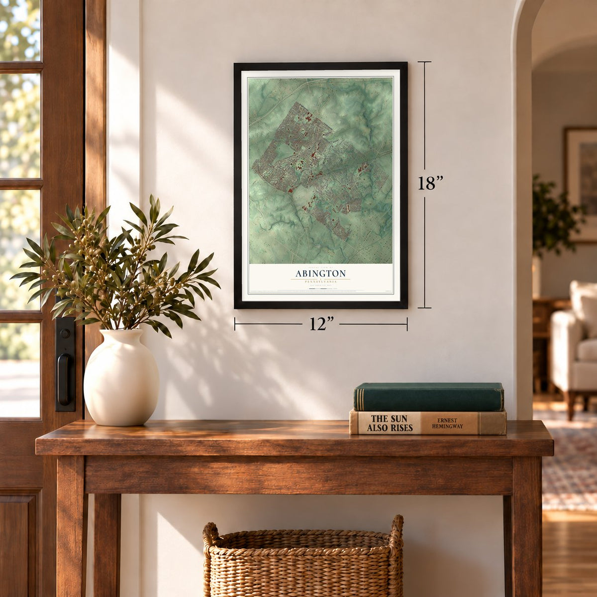
12" x 18" Archival Matte Print
A Map of Home. A Work of Art.
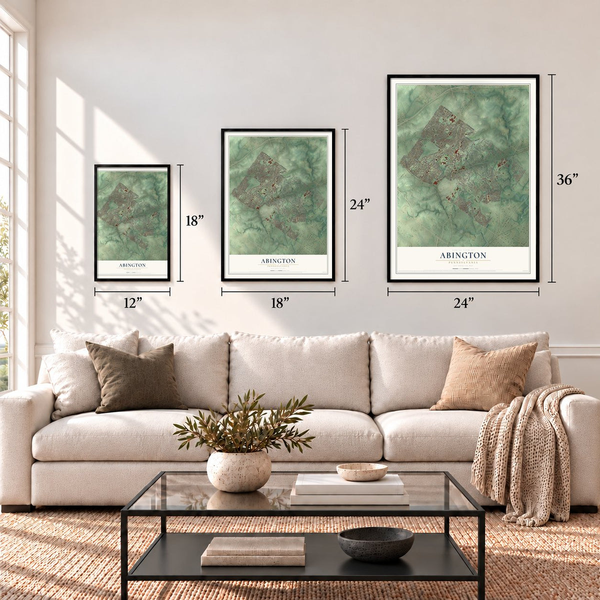
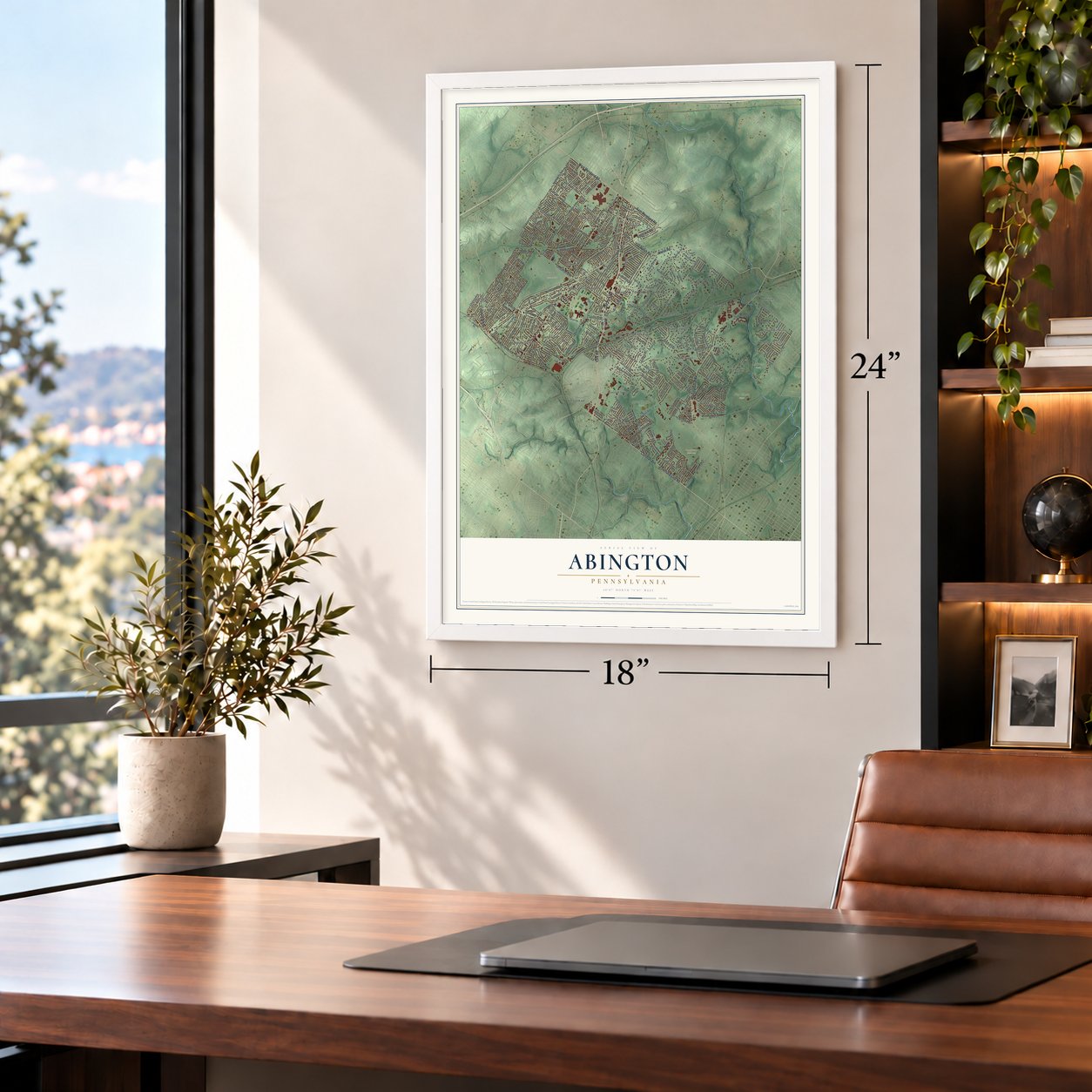
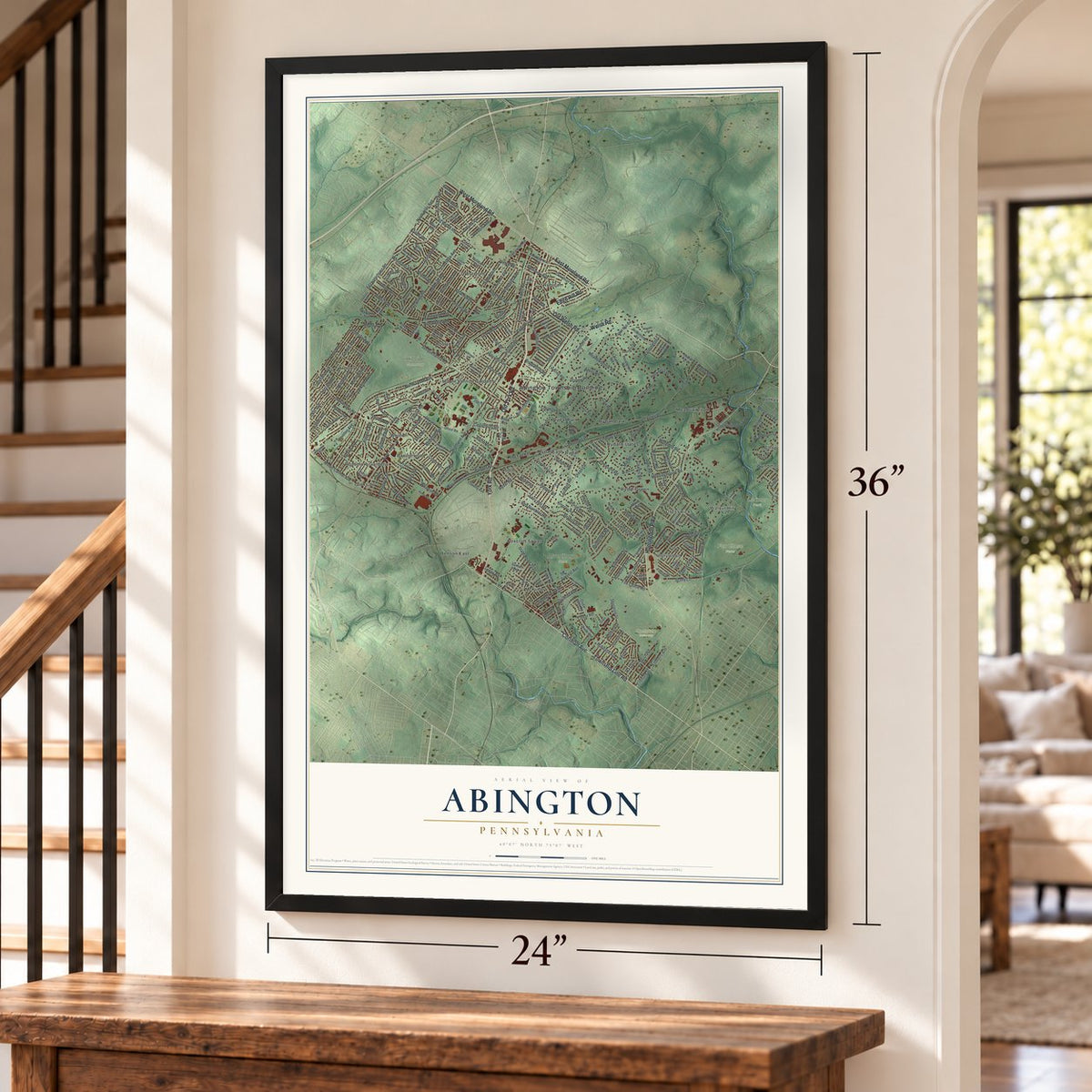
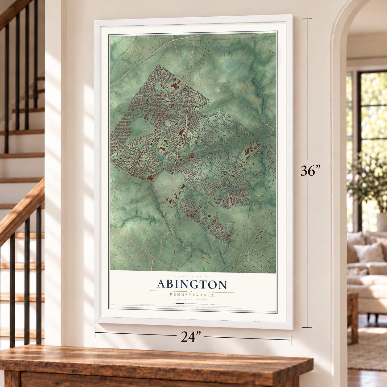
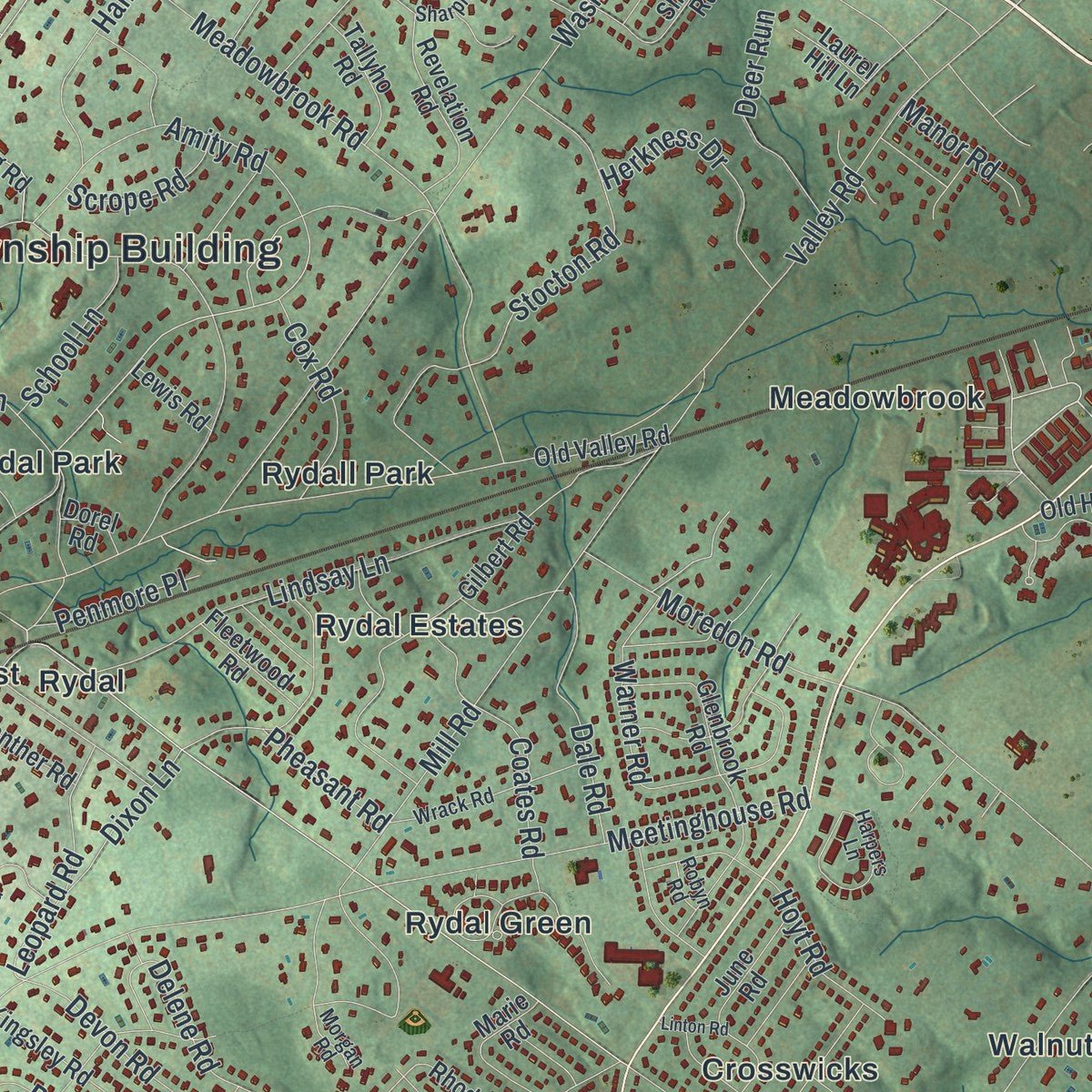
Explore Abington, Pennsylvania from a whole new perspective. Created using aerial imagery and detailed geographic data, this map captures Abington building by building, with labeled streets, familiar landmarks, and shaded topographical relief that highlights the natural contours of the landscape.
Combining modern data with the timeless character of a vintage atlas, this map is just as interesting up close as it is beautiful on the wall. Whether you grew up in Abington, spent memorable years there, or call it home today, this unique map is a great way to celebrate a place that means something to you. Zoom in on the preview to look for your street, and then order a print to put your memories on the wall.
Three ways to hang it
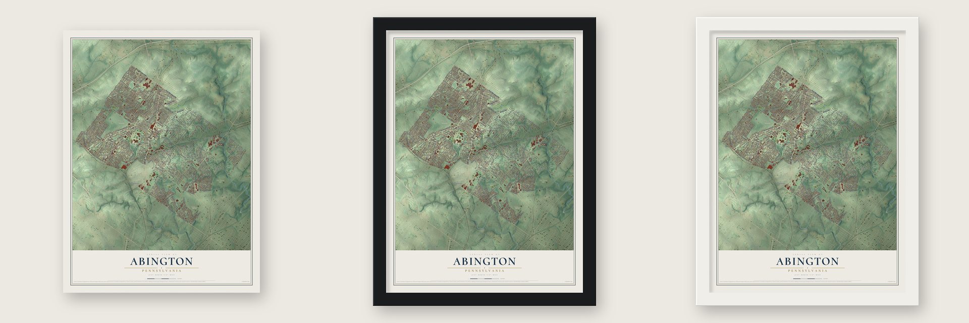
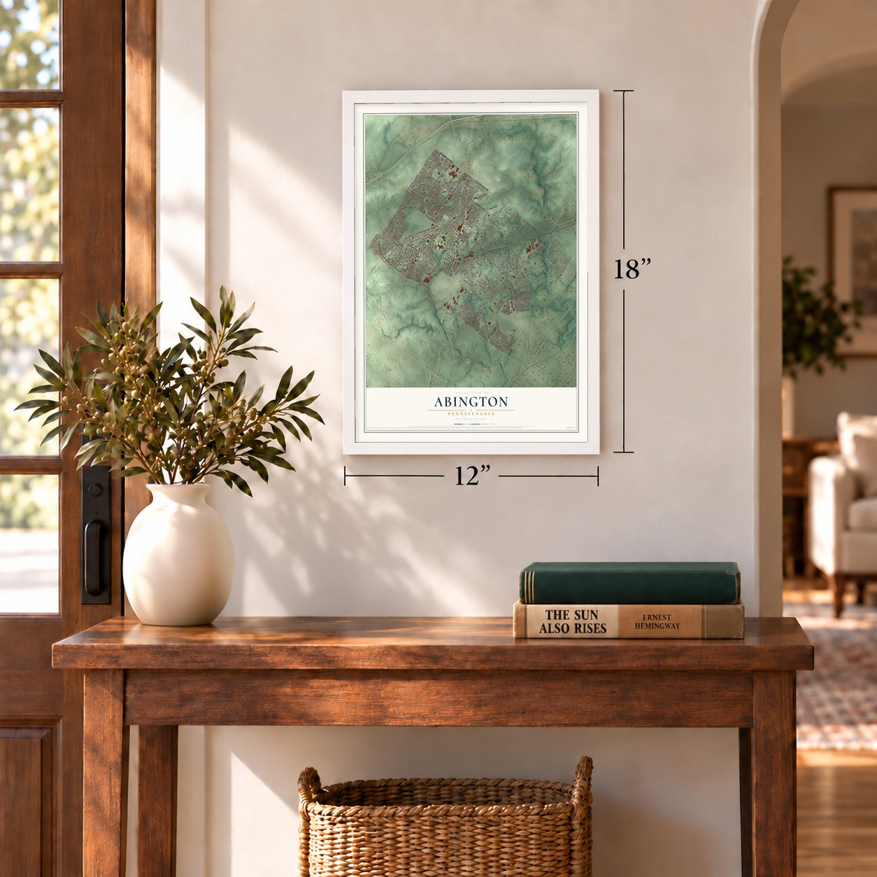
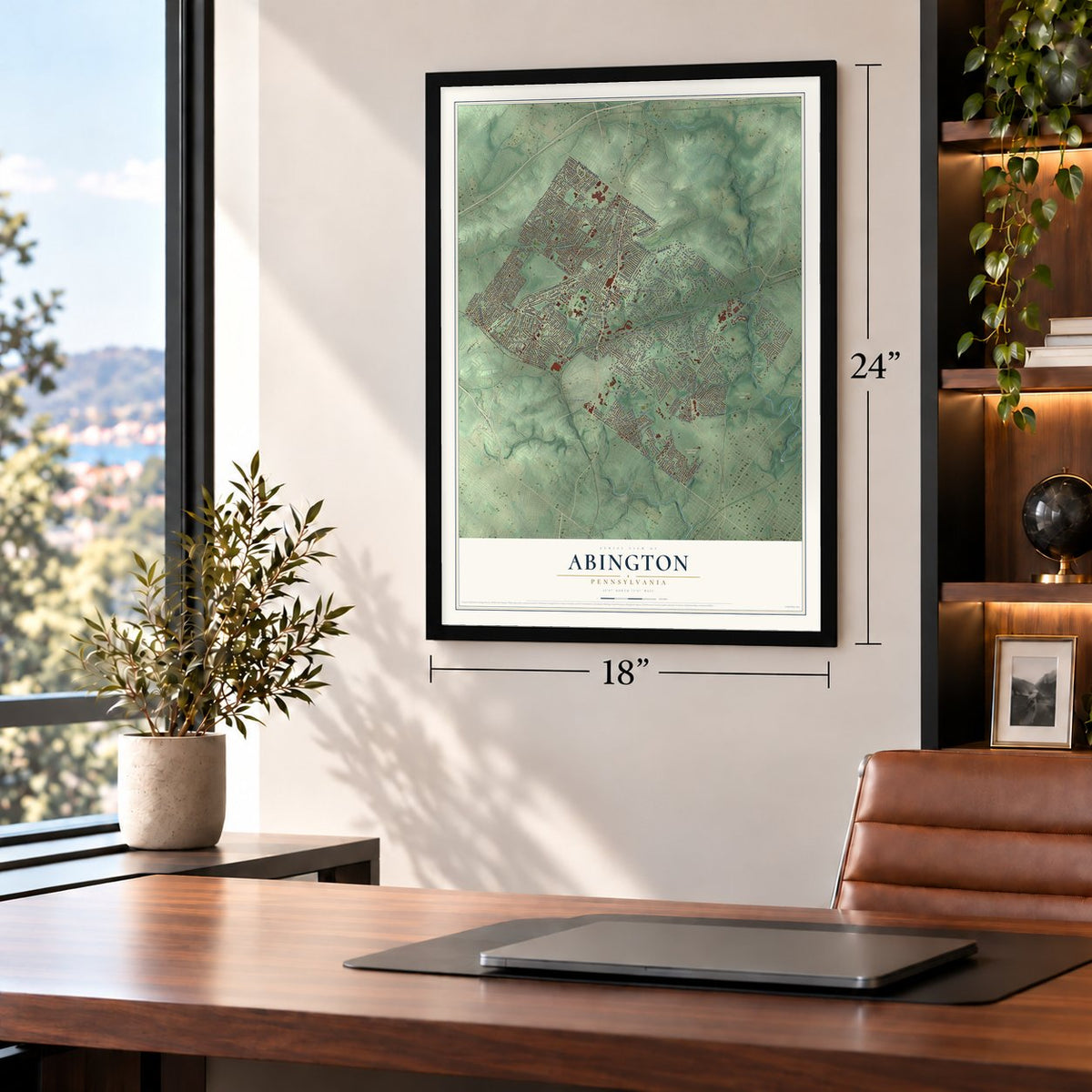
Unframed archival matte, a black wood frame or a white wood frame.
Up close
Geography Worth Displaying
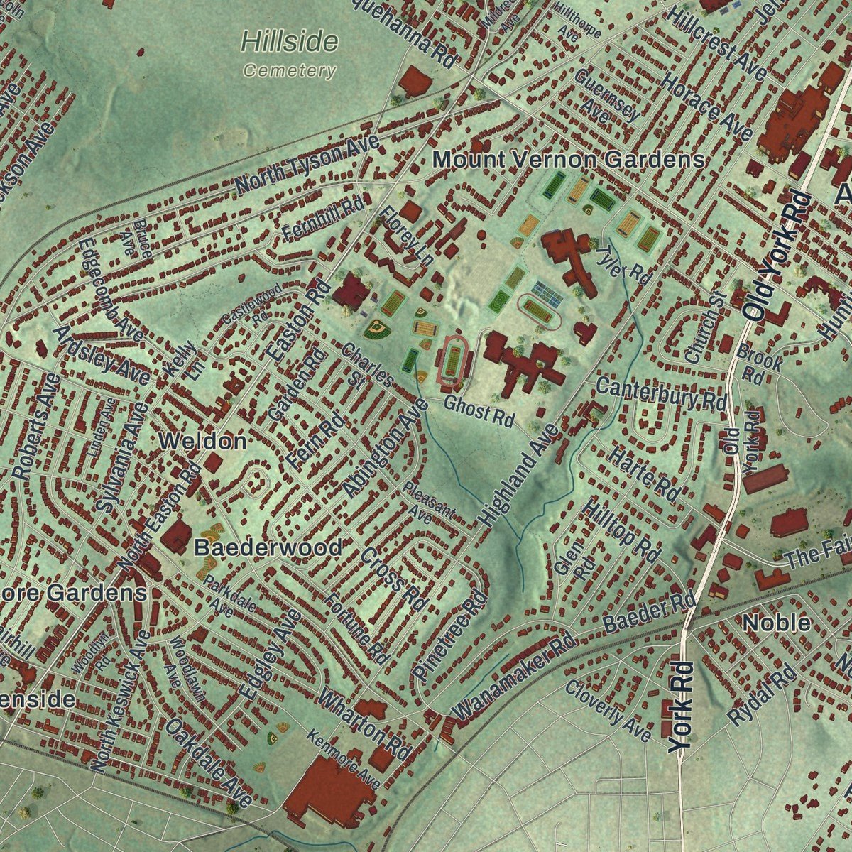
This map was created using accurate cartographic data and authoritative geographic sources, including the U.S. Geological Survey and the Census Bureau. The map brings together terrain, waterways, roads, and building detail. The majority of the streets are labeled, houses are accurately depicted, and the topography is derived from government sources. Combining local data with carefully composed color and shading leads to this beautifully detailed Abington artwork for your wall.
Rather than simply showing street outlines, we’ve included as many of the street names as we could reasonably fit on the map while keeping their names legible. Zoom in on the high resolution preview to see exactly what’s on the map. We truly set out to create a statement piece for anyone who loves Abington. So whether it’s for you, or a gift for someone you love, we hope this map of Abington brings back fond memories.
Read the story behind this map of Abington, Pennsylvania from 2026.
Find your street
Names on the Abington map
Every name below is printed on this map. Look for your street, your school, the park where you played, or the pond down the road.
Places and landmarks33
- Abington Township Building
- Alverthorpe Park
- Fox Chase Farm
- Hillside Cemetery
- Lorimer Park
- Montefiore Cemetery
- Ardsley
- Baederwood
- Benson East
- Bethayres
- Chapel Hill Manor
- Crestmont
Show all 33 places
- Crosswicks
- Foxcroft Square
- Glenside
- Hollywood
- McKinley
- Meadowbrook
- Mount Vernon Gardens
- Noble
- North Hills
- Rosemore Gardens
- Roslyn
- Rubicam
- Rydal
- Rydal East
- Rydal Estates
- Rydal Green
- Rydal Park
- Rydall Park
- Walnut Hill
- Weldon
- Wyndmoor Estates
Streets and roads280
- Old Welsh Road
- Welsh Road
- East Moreland Road
- Edge Hill Road
- Old York Road
- York Road
- Cottman Avenue
- Huntingdon Pike
- Township Line Road
- West Moreland Road
- Limekiln Pike
- Easton Road
- Moreland Road
- Fillmore Avenue
- Fillmore Street
- Shady Lane
- Fox Chase Road
- Rydal Road
- Huntingdon Road
- Pine Road
- Pinetree Road
- Susquehanna Road
- Jenkintown Road
- Woodland Road
- Washington Lane
- Meetinghouse Road
- North Tyson Avenue
- Highland Avenue
- Valley Road
- Mount Carmel Avenue
Show all 280 streets
- Moredon Road
- North Hills Avenue
- Maple Avenue
- Mill Road
- Fitzwatertown Road
- Osbourne Avenue
- Tennis Avenue
- Meadowbrook Road
- The Fairway
- Cricket Avenue
- Central Avenue
- Forrest Avenue
- Lindsay Lane
- Rockwell Road
- State Road 2021
- Roslyn Avenue
- Hamel Avenue
- Penn Avenue
- Old Ford Road
- Roberts Avenue
- Hamilton Avenue
- Shelmire Street
- Cloverly Lane
- Coolidge Avenue
- Hillcrest Avenue
- Monroe Avenue
- Dale Road
- Garfield Avenue
- Jericho Road
- Grovania Avenue
- Cedar Road
- Abington Avenue
- Stocton Road
- Baeder Road
- Oakdale Avenue
- Pershing Avenue
- Beverly Road
- Dixon Lane
- Sylvania Avenue
- Church Road
- Horace Avenue
- Edgley Avenue
- Wharton Road
- Fernwood Avenue
- Hampton Road
- Arnold Avenue
- Delene Road
- Thompson Road
- Shoemaker Road
- Lukens Avenue
- Cross Road
- Mayfield Avenue
- Tulpehocken Avenue
- Patane Avenue
- Elm Avenue
- Warner Road
- Birchwood Avenue
- Pembroke Road
- Prospect Avenue
- Jackson Avenue
- Sherman Avenue
- Roseland Avenue
- Osceola Avenue
- Amity Road
- Herkness Drive
- Brookdale Avenue
- Turner Avenue
- Coates Road
- Pepper Road
- Holme Avenue
- Houston Avenue
- Lindbergh Avenue
- Leopard Road
- Anzac Avenue
- Perry Street
- Parkview Avenue
- Davidson Road
- Chelsea Avenue
- Deer Run
- Devon Road
- Wanamaker Road
- Cox Road
- Irvin Road
- East Avenue
- Ardsley Avenue
- Roy Avenue
- Kirkwood Street
- Noble Road
- Meyer Avenue
- Hoyt Road
- Harte Road
- Preston Avenue
- Wyndmoor Lane
- Red Rambler Road
- Hilltop Road
- Fairy Hill Road
- School Lane
- Canterbury Road
- Kimball Avenue
- Llanfair Road
- Scrope Road
- Brentwood Road
- Jefferson Avenue
- Penmore Place
- Davisville Road
- Pheasant Road
- Manor Road
- Hazel Avenue
- Fern Road
- Clarke Road
- Lenox Road
- Hower Road
- Kanes Road
- Upsal Road
- Fawn Lane
- Ray Street
- Felix Road
- North Easton Road
- Rubicam Avenue
- Old Huntingdon Pike
- North Keswick Avenue
- Maplewood Avenue
- Paper Mill Road
- Fairhill Avenue
- Rothley Avenue
- Ferndale Avenue
- Gilbert Road
- Keith Road
- Revelation Road
- Guernsey Avenue
- Arline Avenue
- Northhills Avenue
- Corinthian Avenue
- Glenbrook Road
- Elliott Avenue
- Rossiter Avenue
- Fisher Road
- Henrietta Avenue
- Kingsley Road
- Radcliffe Avenue
- Summit Avenue
- North Cedar Road
- Carnation Avenue
- Spruce Avenue
- Robinhood Road
- Edgecomb Avenue
- Johnston Avenue
- Charles Street
- Oliver Road
- Ghost Road
- Heritage Road
- Glen Road
- Hall Avenue
- Cloverly Avenue
- Frog Hollow Road
- Fortune Road
- Sewell Lane
- Anna Road
- Oak Shade Avenue
- Elkins Avenue
- Church Street
- Herring Road
- Tallyho Road
- Brown Avenue
- Old Valley Road
- Garden Road
- Tyler Road
- June Road
- Lillian Avenue
- Rhodes Avenue
- Fleetwood Road
- Cedar Glen Road
- Panther Road
- Norman Road
- Madison Avenue
- Fernhill Road
- Ainslie Road
- Lee Lynn Lane
- Goentner Road
- Kelly Lane
- Florey Lane
- West Avenue
- Lewis Road
- Indian Creek Road
- Sharon Road
- Laurel Hill Lane
- Brook Road
- Sunset Avenue
- Marie Road
- Willard Avenue
- Dorel Road
- Glen Lane
- Argyle Road
- Pleasant Avenue
- Lamott Avenue
- Melmar Road
- Kenmore Avenue
- Parkdale Avenue
- Rolling Hill Road
- Wrack Road
- Norwood Avenue
- Harpers Lane
- Lincoln Avenue
- Mankin Avenue
- Woodlawn Avenue
- Glendale Avenue
- Frazier Road
- Nicholas Drive
- Partridge Road
- Bertram Road
- Wingate Road
- Belmont Avenue
- Cherokee Avenue
- Sharpless Road
- Thunderhead Road
- Cardinal Road
- Longstreth Avenue
- Clemens Avenue
- Edgerton Avenue
- Rose Road
- Doris Road
- Thorpe Road
- Serrill Road
- Morgan Road
- Triebel Road
- Berkley Avenue
- Haines Avenue
- Butler Avenue
- Robyn Road
- Bruce Avenue
- Fairview Avenue
- Harrison Avenue
- Claire Avenue
- Kipling Road
- Mildred Avenue
- Castlewood Road
- Windsor Avenue
- Woodlyn Road
- Nolen Road
- Wunderland Road
- Holcomb Road
- Douglass Avenue
- Linden Avenue
- Linton Road
- Ambler Road
- Pondview Road
- Hillthorpe Avenue
- Tremont Road
- Nylsor Avenue
- Hilltop Terrace
Names are listed as they appear on the printed map. Zoom into the product photos to find them.
About Abington, Pennsylvania
Abington is a township of 58,502 people in Montgomery County, and Abington Friends Meeting stands on its Meetinghouse Road. Benjamin Lay, a Quaker who lived from 1682 to 1759, belongs to the story of that meeting. Lay argued that slavery should end at once, and he published a fierce attack on fellow Quakers who held slaves, so they expelled him from their community.
Lay kept up his fight anyway. He staged bold public protests, refused to use any goods made by enslaved people and made his home in a cave near the meeting. His protests helped push the Quakers, in 1776, to forbid their own members from holding slaves, which made them the first religious group to take that step.
- Honored in 2018The Pennsylvania Historical and Museum Commission set up a state historical marker on Meetinghouse Road in 2018 telling Benjamin Lay's story. In the same year, his grave at the nearby Quaker burial ground finally received a marker of its own.
- The township's first public schoolWhen Pennsylvania passed its school law, Abington built its first public schoolhouse under it on West Avenue. By the time the county history was written in 1884, the old school property had passed to the Methodist Episcopal Church.
Keep exploring Pennsylvania
Abington is one of 3,725 Pennsylvania towns we've mapped. Every dot on the map is a print of its own.
The search covers every state, Pennsylvania first.
Near Abington
Order 2 or more town maps and save 10%. Shown in the size and finish you picked above, so they hang as a set.
- Rydal 12" x 18" / Archival Matte Print $39.99
- Jenkintown 12" x 18" / Archival Matte Print $39.99
- Roslyn 12" x 18" / Archival Matte Print $39.99
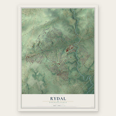
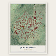
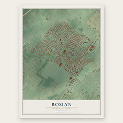
More maps nearby: McKinley, Glenside, Lower Moreland, Wyncote and Willow Grove.
The art of mapping a place
How This Map Was Made
Real places. Remarkable detail. Discover the layers that turn geographic data into a map of home.

The view from above
Aerial imagery reveals the character of the land: woodland, open fields, and the patterns of a place.

The shape of the land
Elevation data brings hills, valleys, and subtle changes in the landscape into view.

The details of home
Roads, waterways, and building footprints come together to make the map feel unmistakably local.

Geography becomes art
Considered color, shading, and typography bring the layers together in a map made for your wall.


Process illustrated with Mendon, Massachusetts. Aerial imagery: USDA NAIP. Terrain: USGS 3D Elevation Program. Map details and finished artwork: KNOWOL.
The Details
About This Print
Choose an archival matte print, or a black or white Ayous wood frame. The archival matte print is unframed.
Select your size and finish above to see the matching product image and price.
Materials & Craftsmanship
A contemporary map with the character of a classic atlas, printed on archival matte paper. Optional frames are made from Ayous wood.
Your printed map does not include the watermark shown in the full-map preview.
Shipping & Delivery
Free shipping within the United States. Every print is made to order in the USA.
Buying a gift? Add a note in your cart and we'll include it. We never put prices in the package.
Prints ship within 2 to 3 business days. Allow 7 to 10 days total from ordering for delivery. Timing may vary during holidays or periods of high order volume.
Read our shipping policy.
Returns and damaged prints
Each print is made to order. Change-of-mind refunds are not available after production.
If your print arrives damaged, misprinted or incorrect, contact support@knowol.com within 30 days of receiving it. Include your order number, photos and a description of the issue.
Read our full refund and replacement policy. For questions about your order, email support@knowol.com.