
Search for another town



Free U.S. delivery 7 to 10 days after you order
Albuquerque, New Mexico Map Art
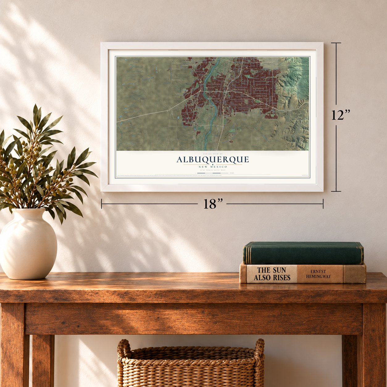
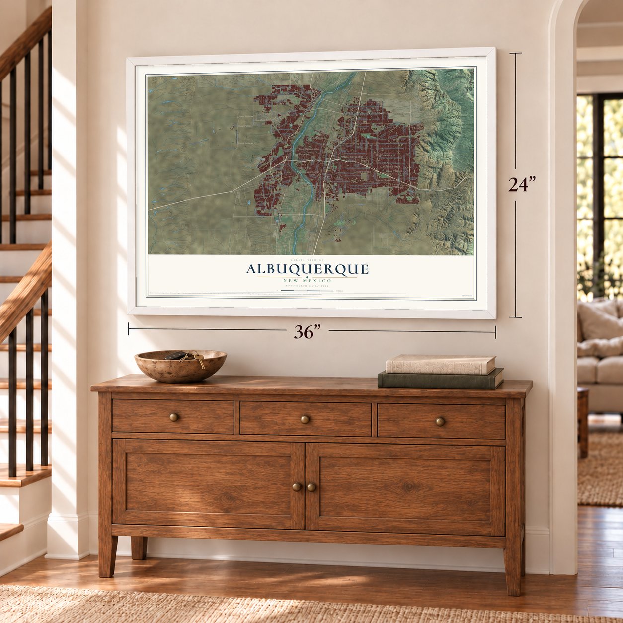
A new map of Albuquerque, New Mexico, made in 2026 and printed to order on thick archival matte paper.
12" x 18" Archival Matte Print
A Map of Home. A Work of Art.
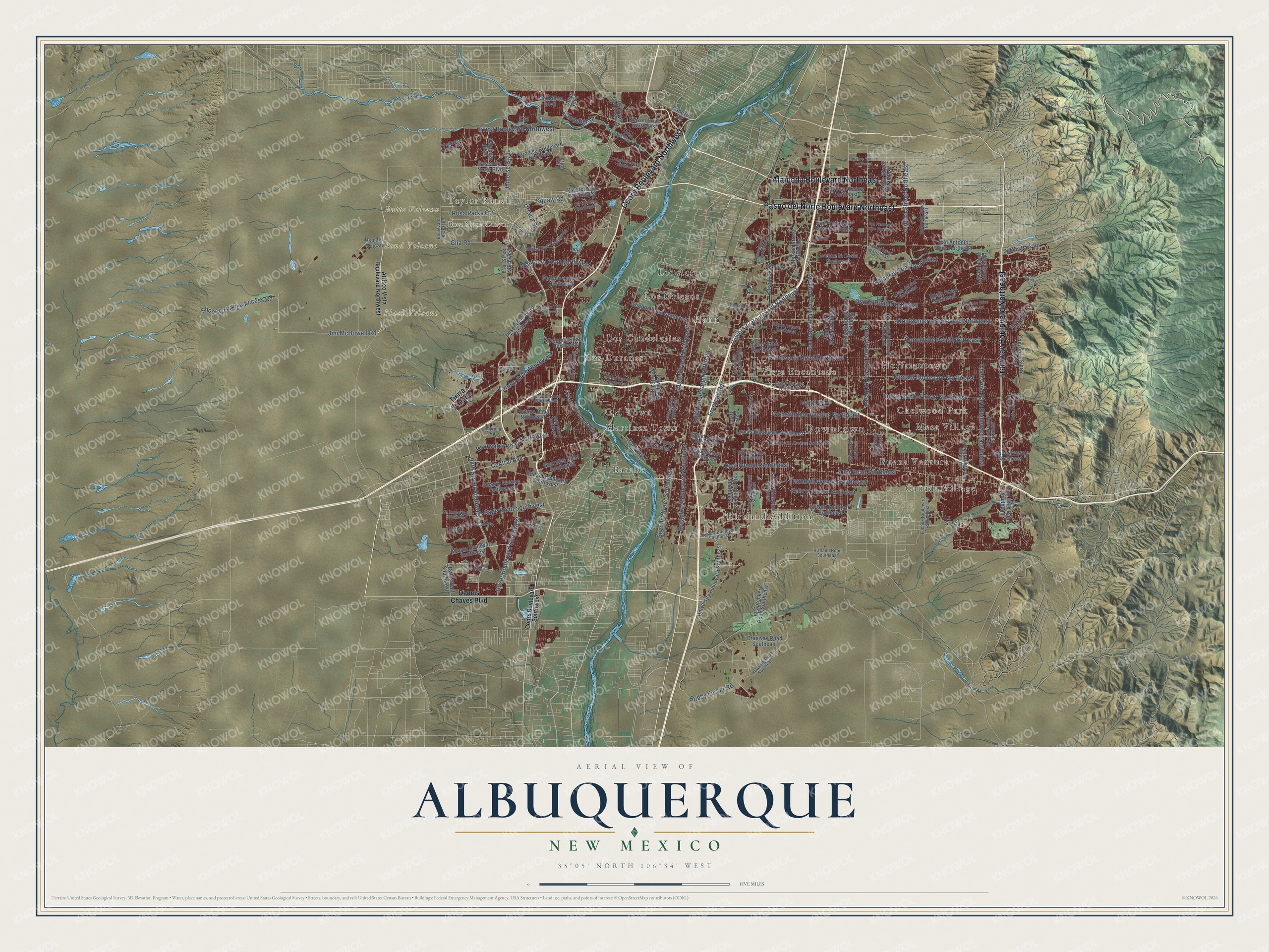
Explore Albuquerque, New Mexico from a whole new perspective. Created using aerial imagery and detailed geographic data, this map captures Albuquerque building by building, with labeled streets, familiar landmarks, and shaded topographical relief that highlights the natural contours of the landscape.
Combining modern data with the timeless character of a vintage atlas, this map is just as interesting up close as it is beautiful on the wall. Whether you grew up in Albuquerque, spent memorable years there, or call it home today, this unique map is a great way to celebrate a place that means something to you. Zoom in on the preview to look for your street, and then order a print to put your memories on the wall.
Three ways to hang it
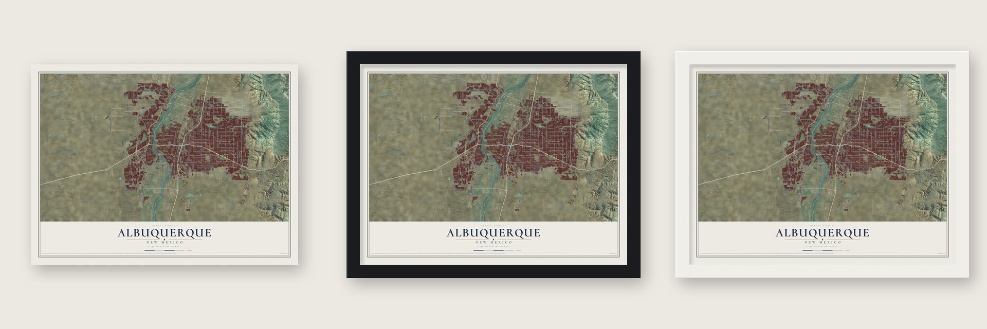
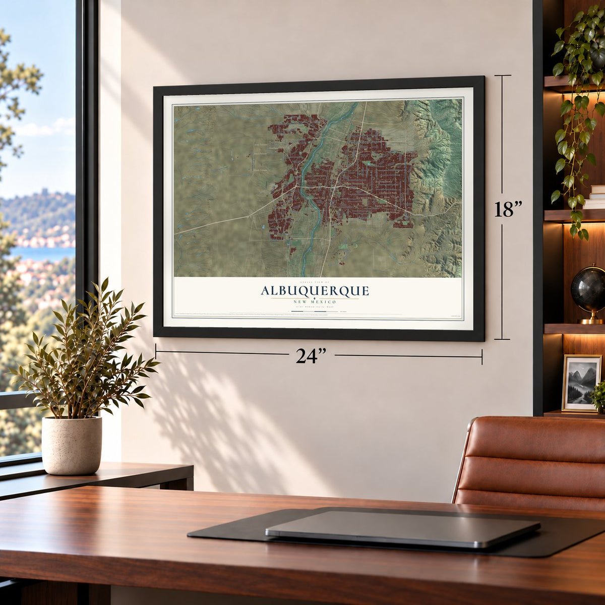
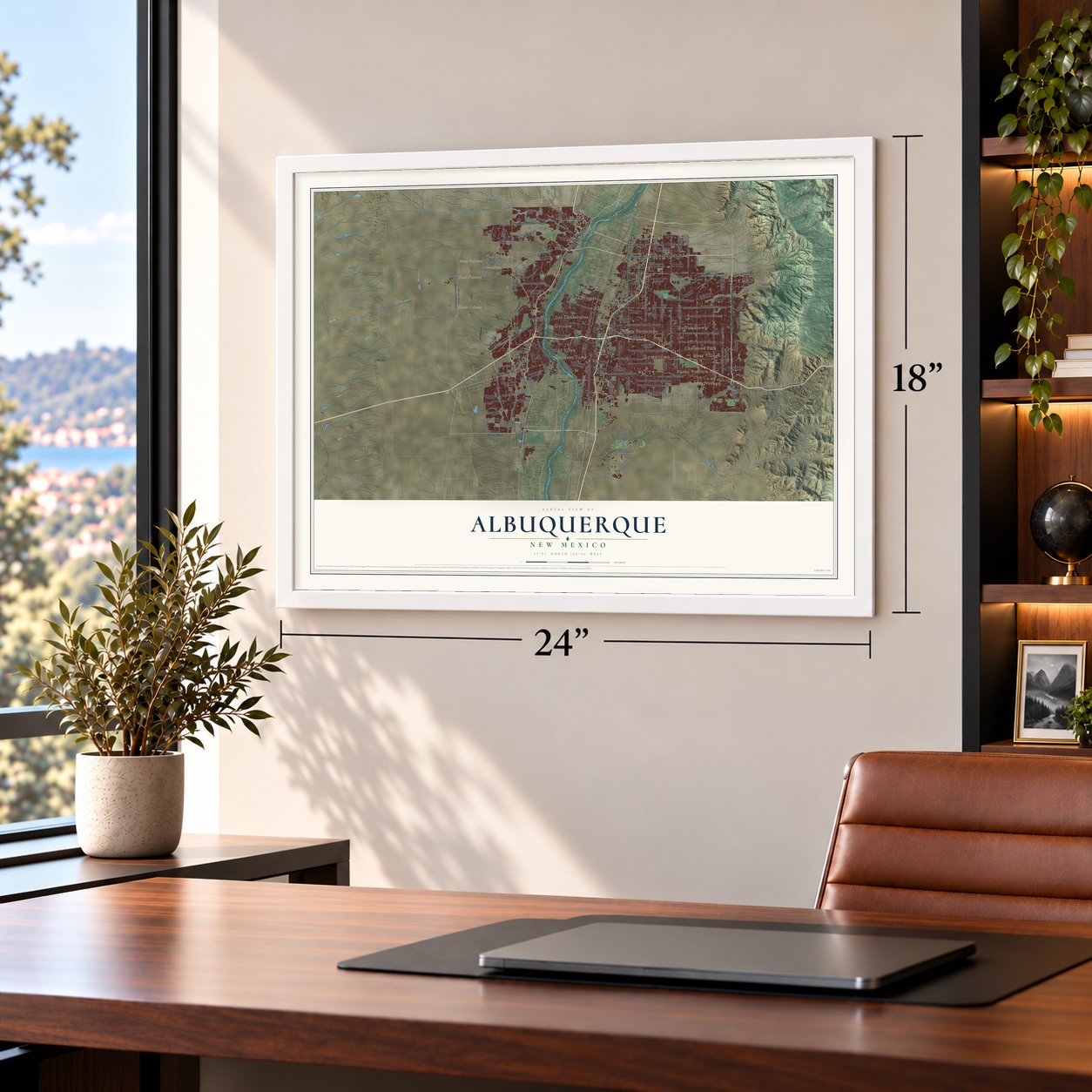
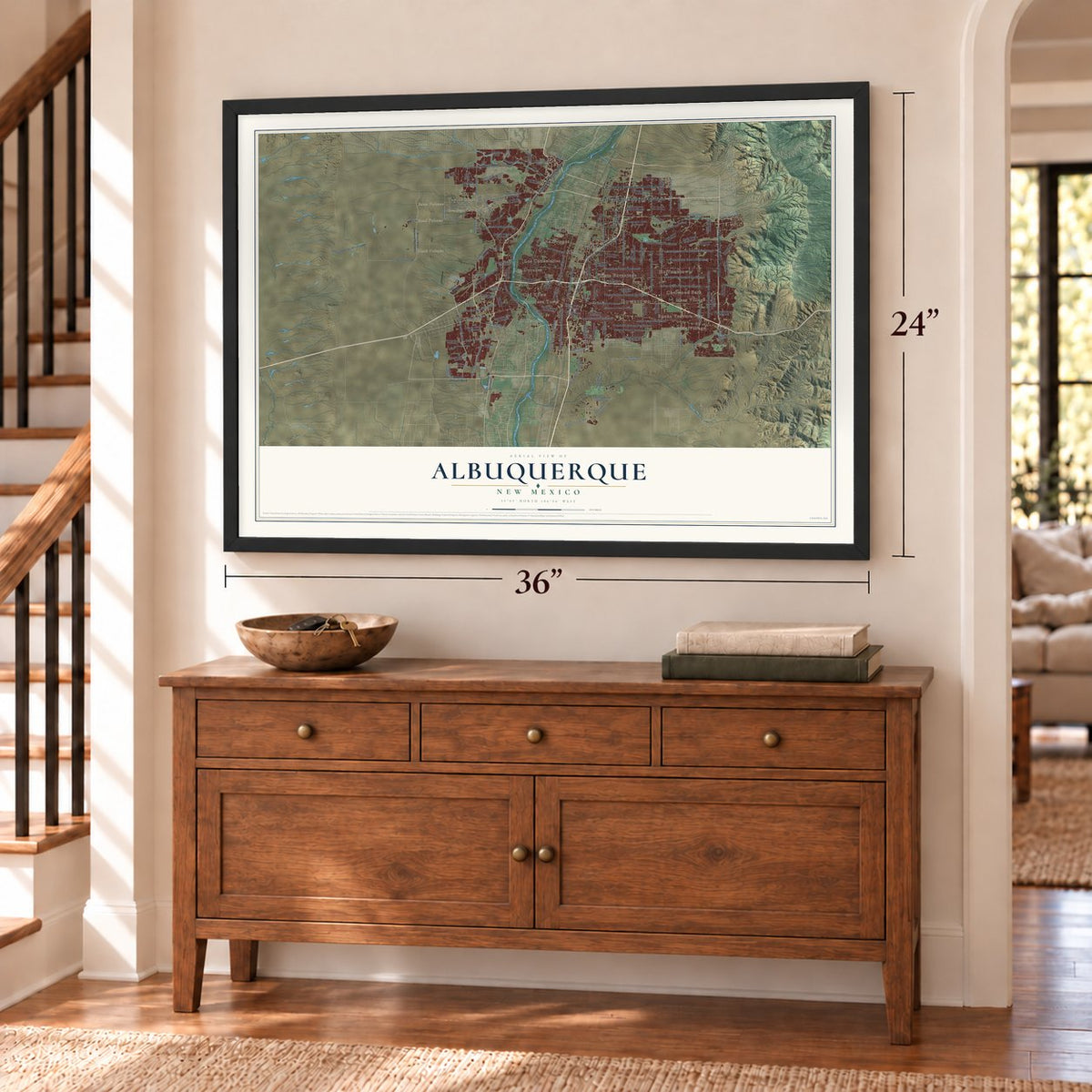
Unframed archival matte, a black wood frame or a white wood frame.
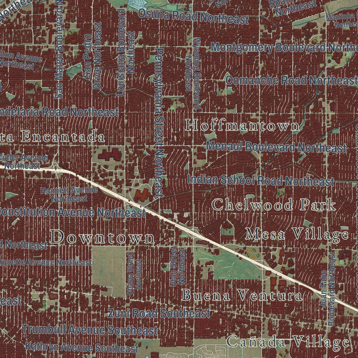
Up close
Geography Worth Displaying
This map was created using accurate cartographic data and authoritative geographic sources, including the U.S. Geological Survey and the Census Bureau. The map brings together terrain, waterways, roads, and building detail. The majority of the streets are labeled, houses are accurately depicted, and the topography is derived from government sources. Combining local data with carefully composed color and shading leads to this beautifully detailed Albuquerque artwork for your wall.
Rather than simply showing street outlines, we’ve included as many of the street names as we could reasonably fit on the map while keeping their names legible. Zoom in on the high resolution preview to see exactly what’s on the map. We truly set out to create a statement piece for anyone who loves Albuquerque. So whether it’s for you, or a gift for someone you love, we hope this map of Albuquerque brings back fond memories.
Read the story behind this map of Albuquerque, New Mexico from 2026.

About Albuquerque, New Mexico
Albuquerque is a city of 564,559 people and the county seat of Bernalillo County, on the Rio Grande. Governor Francisco Cuervo y Valdés founded it in 1706 as La Villa de Alburquerque and named it for the 10th Duke of Alburquerque, Viceroy of New Spain. It was a trading and military outpost on El Camino Real, the road to Mexico City, and its people farmed and herded sheep. Settlers laid it out around a central plaza with a church, homes and government buildings, and San Felipe de Neri Church rose on the plaza's north side in 1793.
The Atchison, Topeka and Santa Fe Railroad reached Albuquerque in 1880 but skipped the plaza, putting its depot and railyards about 2 miles east. A new town called New Albuquerque grew up around the tracks, and settlers poured in. It became a town in 1885, with Henry N. Jaffa as its first mayor, and a city in 1891. The old plaza stayed a separate community until the 1920s, when Albuquerque took it in as Old Town.
“one of the richest and pleasantest towns, with a Spanish cathedral and other buildings more than two hundred years old.”
- A Civil War battle in 1862Confederate troops under General Henry Hopkins Sibley held Albuquerque for a month starting in February 1862, then pushed north. While retreating toward Texas, Sibley made a stand here on April 8, 1862, against Union soldiers led by Colonel Edward R. S. Canby. The Battle of Albuquerque was fought at long range for a day, few men fell, and with help from residents the Confederates were driven out of the city.
- First balloon flight, 1882On July 4, 1882, Park Van Tassel took off in a balloon from downtown and came down at Old Town. No one in the New Mexico Territory had flown a balloon before him. Today the city holds the Albuquerque International Balloon Fiesta, the world's biggest gathering of balloons.
- Route 66 arrived in 1926The first Route 66 drivers came through Albuquerque in 1926, and motels, cafes and gift shops soon lined the road. The highway first followed Fourth Street north to south, then in 1937 shifted to Central Avenue for a straighter path east to west.
- Petroglyphs on the West MesaNative people carved images into the dark basalt on the city's west side many centuries ago. Those carvings are protected today in Petroglyph National Monument, inside the city limits.
Find your street
Names on the Albuquerque map
Every name below is printed on this map. Look for your street, your school, the park where you played, or the pond down the road.
Places and landmarks21
- Downtown
- Taylor Ranch
- Cañada Village
- Chelwood Park
- Black Volcano
- Boca Negra Canyon
- Bond Volcano
- Butte Volcano
- Barelas
- Buena Ventura
- Hahn
- Hoffmantown
Show all 21 places
- Kirtland Addition
- Lee Acres
- Los Candelarias
- Los Duranes
- Los Griegos
- Martinez Town
- Mesa Village
- Old Town
- Vista Encantada
Streets and roads150
- Coors Boulevard Northwest
- Tramway Boulevard Northeast
- Paseo del Norte Boulevard Northeast
- Alameda Boulevard Northeast
- Central Avenue
- Indian School Road Northeast
- Menaul Boulevard Northeast
- Candelaria Road Northeast
- Comanche Road Northeast
- Unser Boulevard Southwest
- Montgomery Boulevard Northeast
- Constitution Avenue Northeast
- University Boulevard Northeast
- Osuna Road Northeast
- 98th Street Southwest
- Academy Road Northeast
- Irving Boulevard Northwest
- Ladera Drive Northwest
- Shooting Range Access Road
- Montano Road Northwest
- Fourth Street Northwest
- Edith Boulevard Northeast
- Pennsylvania Street Northeast
- Trumbull Avenue Southeast
- Coal Avenue Southeast
- Zuni Road Southeast
- Second Street Southwest
- Chelwood Park Boulevard Northeast
- Bluewater Road Northwest
- Broadway Boulevard Southeast
Show all 150 streets
- Jim McDowell Road
- Frontage Road
- Universe Boulevard
- Ventura Street Northeast
- Bobby Foster Road
- Rosa Parks Court
- Sage Road Southwest
- Bandelier Drive
- Urraca Street
- Gila Road
- Dennis Chaves Boulevard
- Tierra Pintada
- Unser Boulevard Northwest
- Lomas Boulevard Northeast
- Louisiana Boulevard Northeast
- San Pedro Drive Northeast
- Jefferson Street Northeast
- Copper Avenue Northeast
- San Mateo Boulevard Northeast
- University Boulevard Southeast
- Pso del Norte Northwest
- Gibson Boulevard Southeast
- San Antonio Drive Northeast
- Spain Road Northeast
- Atrisco Drive Northwest
- Grand Avenue Northeast
- Aztec Road Northeast
- Twelfth Street Northwest
- Kathryn Avenue Southeast
- San Francisco Road Northeast
- Lead Avenue Southeast
- Gibson Boulevard Southwest
- Paradise Boulevard Northwest
- Bridge Boulevard Southwest
- Yale Boulevard Southeast
- Paseo del Norte Boulevard
- Barstow Street Northeast
- Eucariz Avenue Southwest
- Cam de la Sierra Northeast
- Dragway Road Southeast
- Griegos Road Northwest
- Corona Avenue Northeast
- Ellison Drive Northwest
- Gonzales Road Southwest
- Fortuna Road Northwest
- Rainbow Boulevard
- Dellyne Avenue Northwest
- Sequoia Road Northwest
- Silver Avenue Southwest
- 81st Street Northwest
- Avenue la Costa Northeast
- Ira Sprecker Road Southeast
- Unser Boulevard
- Four Hills Road Southeast
- Simms Park Road
- Lowell Street Northeast
- 118th Street Southwest
- McMahon Boulevard
- Pso del Volcan
- Chappell Drive
- Cabezon Road
- Laurel
- Yale Boulevard
- Ivy Street
- Lx Street
- Atrisco Vista Boulevard Northwest
- Coors Boulevard Southwest
- Wyoming Boulevard Northeast
- Juan Tabo Boulevard Northeast
- Hannett Avenue Northeast
- Marquette Avenue Northeast
- Golf Course Road Northwest
- Silver Avenue Southeast
- Cutler Avenue Northeast
- Sunport Boulevard Southeast
- Fifth Street Northwest
- Utah Street Northeast
- Girard Boulevard Southeast
- Princeton Drive Northeast
- Tingley Drive Southwest
- Hilton Avenue Northeast
- Eubank Boulevard Southeast
- Hawking Drive Southeast
- Hanover Road Northwest
- Mojave Street Northwest
- Carlisle Boulevard Southeast
- Boulevard de Oest Lane
- Holbrook Street Northeast
- Nakomis Drive Northeast
- Cam del Sol Northeast
- 58th Street Northwest
- Harper Road Northeast
- Cll Nortena Northwest
- Kirtland Road Southeast
- Compass Drive
- Floral Road Northwest
- Daytona Road
- Old Ouray Road
- Ventana Ridge Road
- Lyon Boulevard
- Loren Avenue
- Girard Boulevard Northeast
- Chama Street Northeast
- Benavides Road Southwest
- Florence Avenue Northeast
- Monte Largo Drive Northeast
- Manitoba Drive Northeast
- Vista del Norte Drive Northeast
- Amole Mesa Avenue Southwest
- Western Trail Northwest
- Alamogordo Drive Northwest
- San Francisco Drive Northeast
- Montano Road Northeast
- De Vargas Road Southwest
- Congress Avenue Northwest
- Glenwood Hills Drive Northeast
- Arenal Road Southwest
- Margarita Drive
- Carmino
- High Desert Street
Names are listed as they appear on the printed map. Zoom into the product photos to find them.
The art of mapping a place
How This Map Was Made
Real places. Remarkable detail. Discover the layers that turn geographic data into a map of home.

The view from above
Aerial imagery reveals the character of the land: woodland, open fields, and the patterns of a place.

The shape of the land
Elevation data brings hills, valleys, and subtle changes in the landscape into view.

The details of home
Roads, waterways, and building footprints come together to make the map feel unmistakably local.

Geography becomes art
Considered color, shading, and typography bring the layers together in a map made for your wall.


Process illustrated with Mendon, Massachusetts. Aerial imagery: USDA NAIP. Terrain: USGS 3D Elevation Program. Map details and finished artwork: KNOWOL.
The Details
About This Print
Choose an archival matte print, or a black or white Ayous wood frame. The archival matte print is unframed.
Select your size and finish above to see the matching product image and price.
Materials & Craftsmanship
A contemporary map with the character of a classic atlas, printed on archival matte paper. Optional frames are made from Ayous wood.
Your printed map does not include the watermark shown in the full-map preview.
Shipping & Delivery
Free shipping within the United States. Every print is made to order in the USA.
Buying a gift? Add a note in your cart and we'll include it. We never put prices in the package.
Prints ship within 2 to 3 business days. Allow 7 to 10 days total from ordering for delivery. Timing may vary during holidays or periods of high order volume.
Read our shipping policy.
Returns and damaged prints
Each print is made to order. Change-of-mind refunds are not available after production.
If your print arrives damaged, misprinted or incorrect, contact support@knowol.com within 30 days of receiving it. Include your order number, photos and a description of the issue.
Read our full refund and replacement policy. For questions about your order, email support@knowol.com.
Find your town
Looking for another city?
Find a map of home in our New Mexico collection, or any town in the country.
Nearby
Maps of towns near Albuquerque
Know someone from one of these towns? Their map makes a great gift.
 Los Ranchos de Albuquerque
, New Mexico
From $39.99See the map
 North Valley
, New Mexico
From $39.99See the map
 Kirtland AFB
, New Mexico
From $39.99See the map
More maps nearby: South Valley, Paradise Hills, Edith Enclave, Corrales and Sandia Heights.