
Search for another town




Free U.S. delivery 7 to 10 days after you order
Algonquin, Illinois Map Art
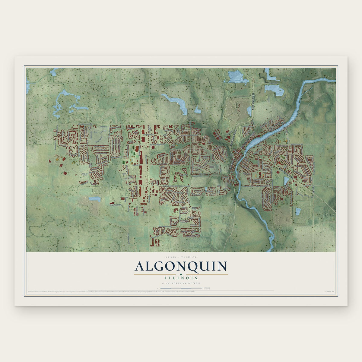
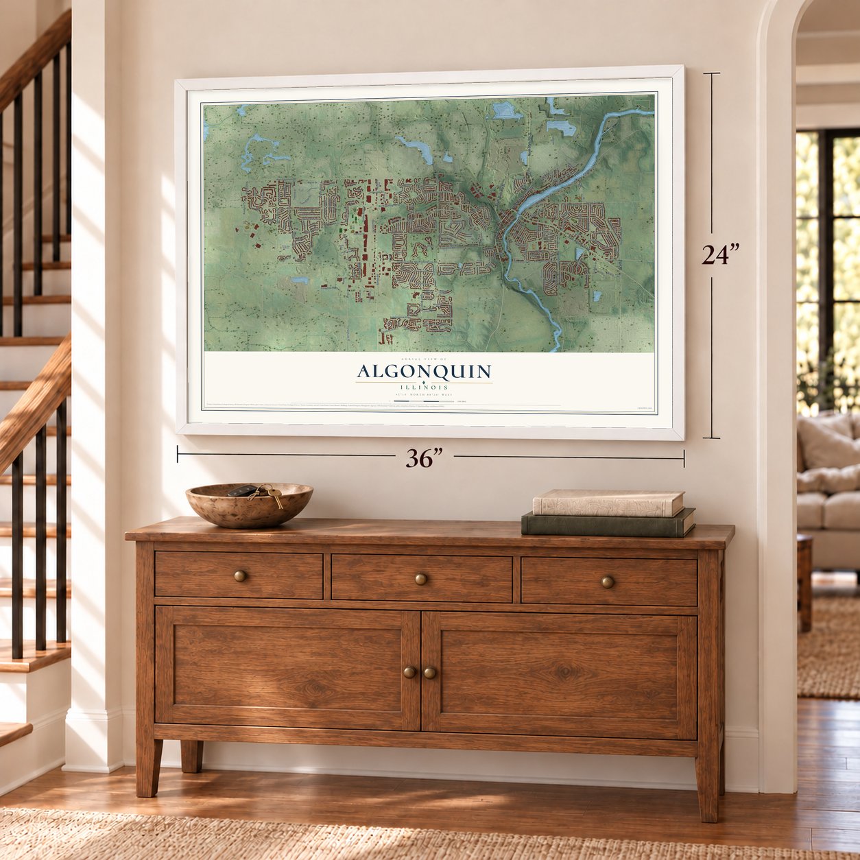
A new map of Algonquin, Illinois, made in 2026 and printed to order on thick archival matte paper.
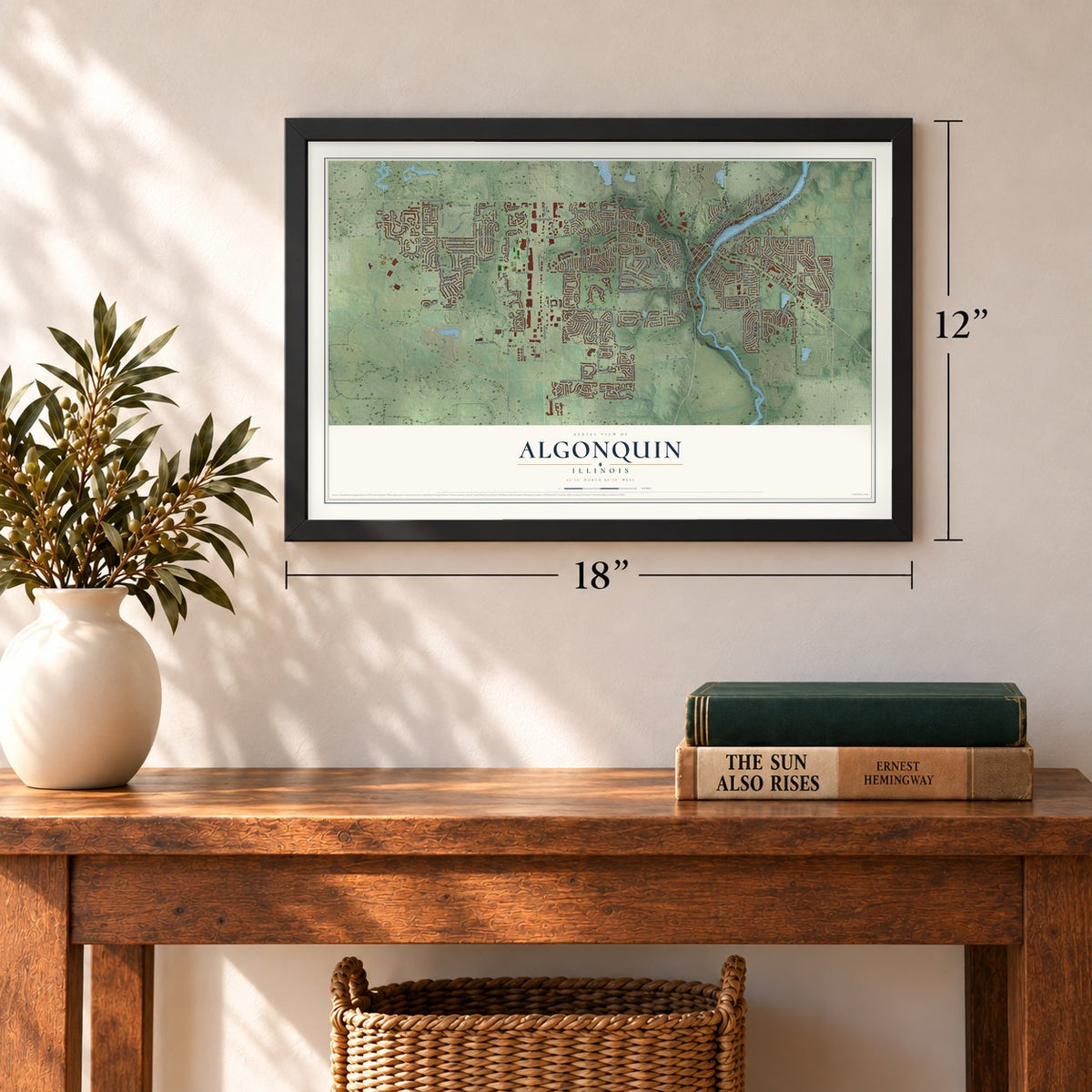
12" x 18" Archival Matte Print
A Map of Home. A Work of Art.
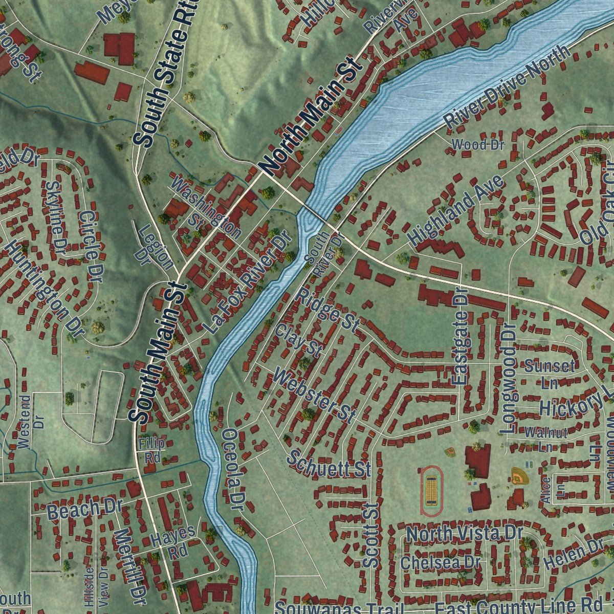
Explore Algonquin, Illinois from a whole new perspective. Created using aerial imagery and detailed geographic data, this map captures Algonquin building by building, with labeled streets, familiar landmarks, and shaded topographical relief that highlights the natural contours of the landscape.
Combining modern data with the timeless character of a vintage atlas, this map is just as interesting up close as it is beautiful on the wall. Whether you grew up in Algonquin, spent memorable years there, or call it home today, this unique map is a great way to celebrate a place that means something to you. Zoom in on the preview to look for your street, and then order a print to put your memories on the wall.

Three ways to hang it
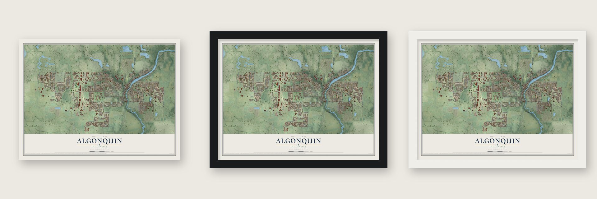
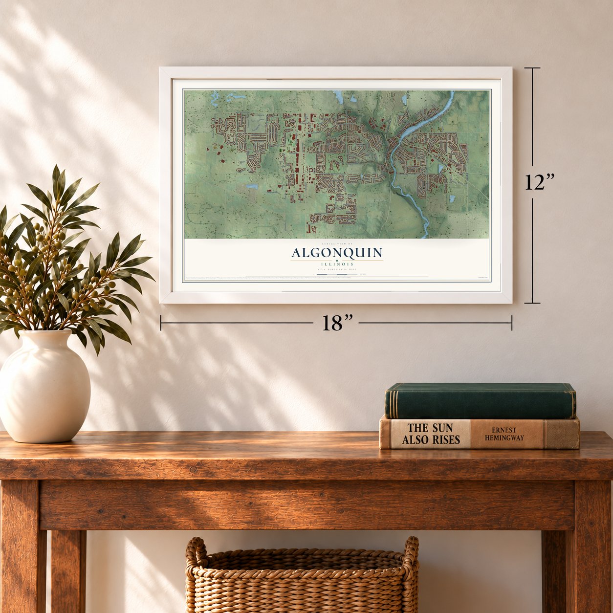
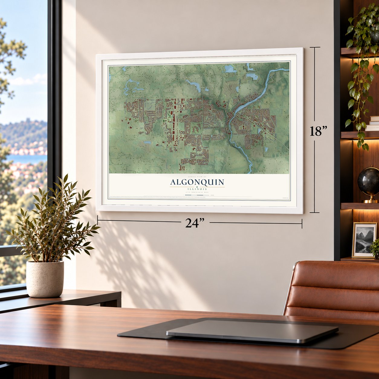
Unframed archival matte, a black wood frame or a white wood frame.
Up close
Geography Worth Displaying
This map was created using accurate cartographic data and authoritative geographic sources, including the U.S. Geological Survey and the Census Bureau. The map brings together terrain, waterways, roads, and building detail. The majority of the streets are labeled, houses are accurately depicted, and the topography is derived from government sources. Combining local data with carefully composed color and shading leads to this beautifully detailed Algonquin artwork for your wall.
Rather than simply showing street outlines, we’ve included as many of the street names as we could reasonably fit on the map while keeping their names legible. Zoom in on the high resolution preview to see exactly what’s on the map. We truly set out to create a statement piece for anyone who loves Algonquin. So whether it’s for you, or a gift for someone you love, we hope this map of Algonquin brings back fond memories.
Read the story behind this map of Algonquin, Illinois from 2026.

About Algonquin, Illinois
Algonquin is an Illinois village spanning southeastern McHenry County and northeastern Kane County. The 2020 census recorded 29,700 residents. Its history includes Potawatomi presence, nineteenth-century settlement, railroad growth, and later development along Randall Road.
- Name Made OfficialSamuel Edwards proposed Algonquin, which became the village's official name on December 23, 1847.
- Railroad ArrivedRailroad construction in 1855 gave nearby farmers another route for sending products to Chicago markets.
- Village FormedThe Village of Algonquin was formed on February 25, 1890.
- Historic Village HallBuilt at 2 South Main Street in 1907, the former village hall now serves as a historical landmark and community gathering place.
- Algonquin Hill ClimbsFrom 1906 through 1913, automobile makers tested cars on the village's steep hills, inspiring the nationally recognized Algonquin Cup.
Find your street
Names on the Algonquin map
Every name below is printed on this map. Look for your street, your school, the park where you played, or the pond down the road.
Places and landmarks1
- Algonquin Village Hall
Streets and roads248
- South Main Street
- North State Route 31
- North Main Street
- East Algonquin Road
- South State Route 31
- Elgin Road
- North County Line Road
- Huntington Drive North
- North Huntington Drive
- County Line Road
- Cumberland Parkway
- Klasen Road
- Longwood Drive
- Cary Road
- Spring Creek Road
- River Drive North
- Harnish Drive
- Hanson Road
- North River Road
- Highland Avenue
- Powder Horn Drive
- Randall Road
- Square Barn Road
- Applewood Lane
- Eastgate Drive
- West Algonquin Road
- Stonegate Road
- Bunker Hill Drive
- Edgewood Drive
- Academic Drive
Show all 248 streets
- Whitehall Lane
- Sleepy Hollow Road
- Wynnfield Drive
- North Harrison Street
- Longmeadow Parkway
- Sandbloom Road
- Glacier Parkway
- Gaslight Drive
- Corporate Parkway
- Millbrook Drive
- Huntington Drive
- Compton Drive
- Fairway View Drive
- Woods Creek Lane
- Boyer Road
- Wintergreen Terrace
- Par Drive
- Broadsmore Drive
- Riverwood Drive
- Edgewood Road
- Haegers Bend Road
- Zange Drive
- East County Line Road
- Souwanas Trail
- Brookside Avenue
- Webster Street
- Barrett Drive
- Clover Drive
- Greens View Drive
- Harper Drive
- White Chapel Lane
- Scott Street
- Haverford Drive
- Reserve Drive
- Sawmill Lane
- Persimmon Drive
- Grayhawk Drive
- Southridge Trail
- Sherman Road
- Spring Hill Drive
- Meghan Avenue
- Old Oak Circle
- Tenby Way
- Alpine Drive
- Golden Eagle Drive
- Turnbridge Trail
- Waverly Lane
- Ridge Street
- Wentworth Drive
- Butterfield Drive
- Surrey Lane
- Saratoga Circle
- Eineke Boulevard
- Westbury Drive
- Charles Avenue
- Circle Drive
- Woodscreek Lane
- Lakeview Drive
- Fox Run Lane
- Majestic Drive
- Pioneer Road
- La Fox River Drive
- West Surrey Lane
- Hartley Drive
- Lowe Drive
- Prairie Drive
- Talaga Drive
- Dawson Lane
- Oceola Drive
- Hillcrest Drive
- County Highway 30
- Beach Drive
- Treeline Drive
- Terrace Drive
- Country Side Drive
- Prestwicke Boulevard
- Regal Lane
- Goldenrod Drive
- Redwood Drive
- Schuett Street
- Cooper Lane
- Trails Edge Drive
- North Vista Drive
- Milbrook Drive
- Arrowhead Drive
- Armstrong Street
- Meyer Drive
- Hickory Lane
- Rolls Drive
- Azure Lane
- Lilac Drive
- Ivy Lane
- Ash Street
- Merrill Drive
- Loren Lane
- Old Mill Lane
- Wendt Street
- Hillside Court
- Starr Drive
- Riverview Drive
- Algonquin Road
- Cookline Road
- Tuscany Drive
- Woodview Lane
- Arquilla Drive
- Kensington Drive
- Lake Plumleigh Way
- South Oakleaf Road
- Aberdeen Drive
- Lake Cornish Way
- Yosemite Parkway
- South Randall Road
- Dorchester Avenue
- Peach Tree Lane
- Grandview Court
- Georgetown Circle
- Kingsmill Drive
- Highmeadow Lane
- Westbourne Parkway
- Foster Circle
- Lowe Road
- Lake Gillilan Way
- White Deer Drive
- Ryan Parkway
- Windy Knoll Drive
- Nottingham Drive
- Oakview Drive
- Tracy Lane
- Tahoe Parkway
- Farmhill Drive
- Hackberry Lane
- Skyline Drive
- Moser Lane
- Washington Street
- Foxglove Drive
- Bluestem Lane
- Teri Lane
- Boulder Bluff Lane
- Twisted Oak Court
- Crofton Drive
- Richmond Lane
- Esplanade Drive
- Creeks Crossing Drive
- Indigo Drive
- Frank Road
- Stone Ridge Lane
- Riverview Avenue
- Country Lane
- Mayfair Lane
- Notting Hill Road
- Salford Drive
- Legacy Ridge
- Pond View Drive
- Chelsea Drive
- Sunset Lane
- Helen Drive
- Fairfield Lane
- Kelsey Court
- Surrey Court
- Loop Road
- Legion Drive
- Hayes Road
- Deerpath Road
- Longview Drive
- Rustic Lane
- Holly Lane
- Clay Street
- Jester Lane
- South Drive
- Fox River Trail
- Winding Canyon Way
- Merchant Drive
- Timberland Drive
- South River Drive
- Carlisle Street
- Greenridge Avenue
- Hayrack Drive
- Clear Water Court
- Aspen Drive
- Cloverdale Lane
- Walnut Lane
- Getzelman Terrace
- Lawndale Drive
- Millcreek Lane
- Buckboard Drive
- Westend Drive
- Brandywine Circle
- Wood Drive
- Whitehall Court
- Matthew Drive
- Minnehaha Trail
- Spella Drive
- Russet Road
- Lenore Lane
- Filip Road
- Ridgefield Avenue
- Braewood Drive
- Partridge Court
- Summerdale Lane
- Teton Parkway
- Glacier Court
- Wildwood Road
- Doctor John Burkey Drive
- Hillside View Drive
- Commerce Drive
- Sprucetree Lane
- Rock River Court
- Williamsburg Drive
- Thornapple Lane
- Estancia Lane
- Briarwood Lane
- Cardiff Drive
- Schmitt Circle
- Essex Street
- Magnolia Drive
- Bunker Hill Court
- Dover Court
- Alice Lane
Names are listed as they appear on the printed map. Zoom into the product photos to find them.
The art of mapping a place
How This Map Was Made
Real places. Remarkable detail. Discover the layers that turn geographic data into a map of home.

The view from above
Aerial imagery reveals the character of the land: woodland, open fields, and the patterns of a place.

The shape of the land
Elevation data brings hills, valleys, and subtle changes in the landscape into view.

The details of home
Roads, waterways, and building footprints come together to make the map feel unmistakably local.

Geography becomes art
Considered color, shading, and typography bring the layers together in a map made for your wall.


Process illustrated with Mendon, Massachusetts. Aerial imagery: USDA NAIP. Terrain: USGS 3D Elevation Program. Map details and finished artwork: KNOWOL.
The Details
About This Print
Choose an archival matte print, or a black or white Ayous wood frame. The archival matte print is unframed.
Select your size and finish above to see the matching product image and price.
Materials & Craftsmanship
A contemporary map with the character of a classic atlas, printed on archival matte paper. Optional frames are made from Ayous wood.
Your printed map does not include the watermark shown in the full-map preview.
Shipping & Delivery
Free shipping within the United States. Every print is made to order in the USA.
Buying a gift? Add a note in your cart and we'll include it. We never put prices in the package.
Prints ship within 2 to 3 business days. Allow 7 to 10 days total from ordering for delivery. Timing may vary during holidays or periods of high order volume.
Read our shipping policy.
Returns and damaged prints
Each print is made to order. Change-of-mind refunds are not available after production.
If your print arrives damaged, misprinted or incorrect, contact support@knowol.com within 30 days of receiving it. Include your order number, photos and a description of the issue.
Read our full refund and replacement policy. For questions about your order, email support@knowol.com.
Find your town
Looking for another city?
Find a map of home in our Illinois collection, or any town in the country.
Nearby
Maps of towns near Algonquin
Know someone from one of these towns? Their map makes a great gift.
 Lake in the Hills
, Illinois
From $39.99See the map
 Carpentersville
, Illinois
From $39.99See the map
 West Dundee
, Illinois
From $39.99See the map
More maps nearby: Gilberts, Trout Valley, Sleepy Hollow, Crystal Lake and Cary.