
Search for another town
Free U.S. delivery 7 to 10 days after you order
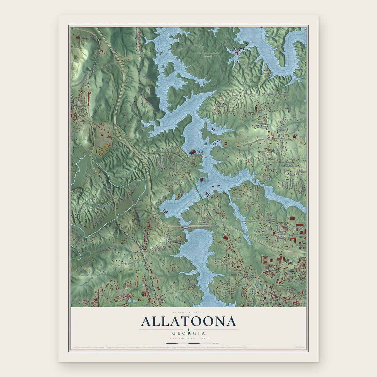
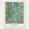
Allatoona, Georgia Map Art
Building by building, with labeled streets and shaded relief.
12" x 18" Archival Matte Print
A Map of Home. A Work of Art.
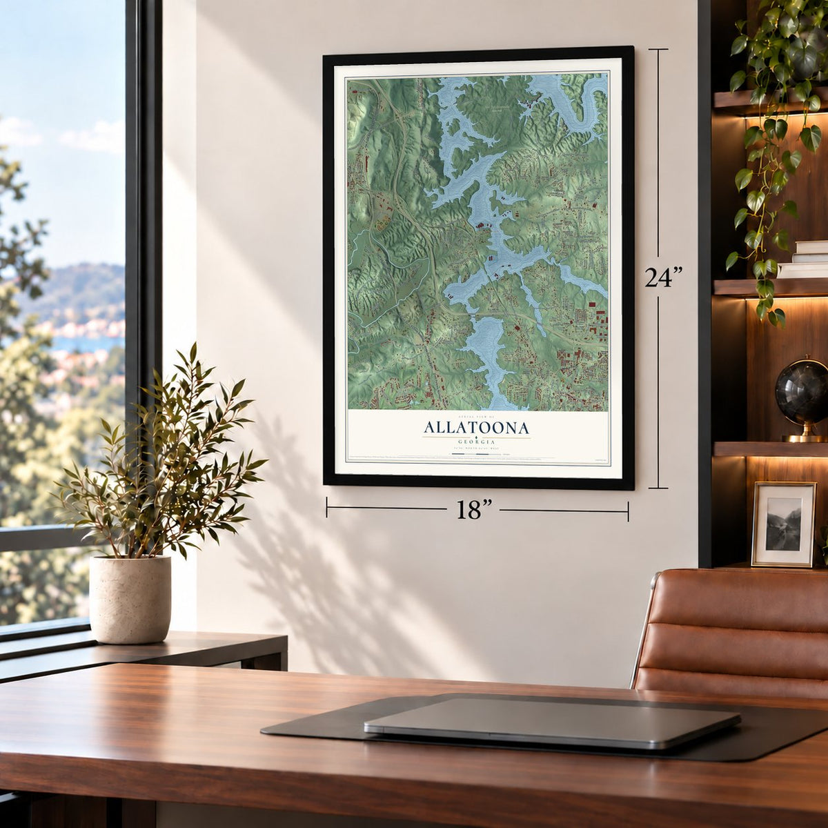
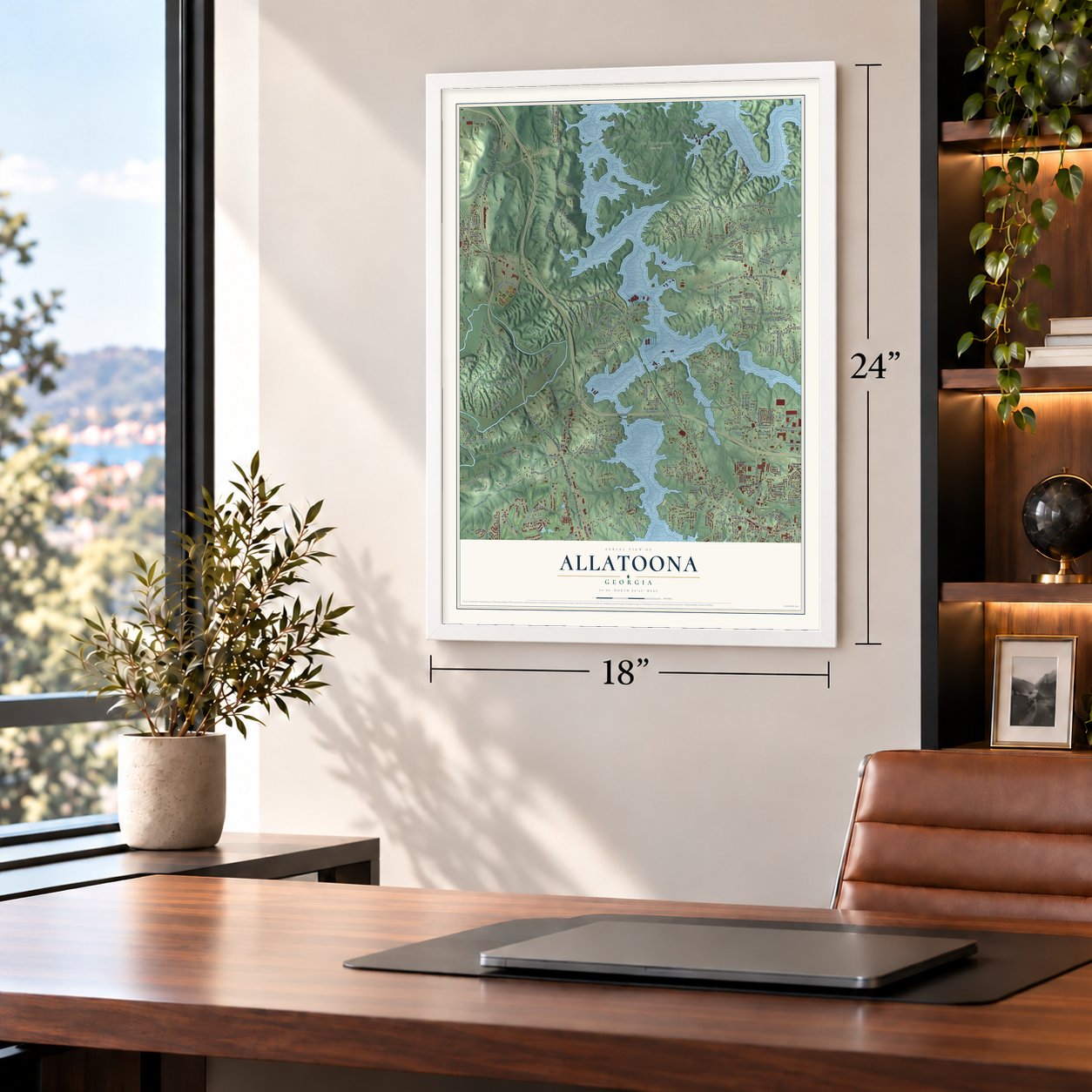
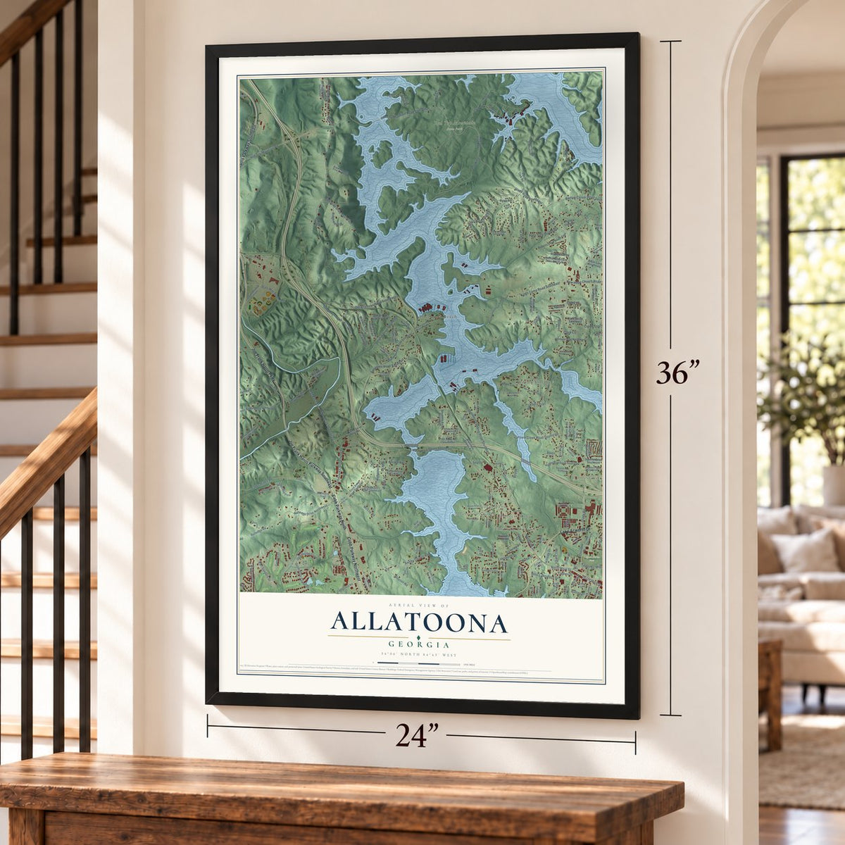
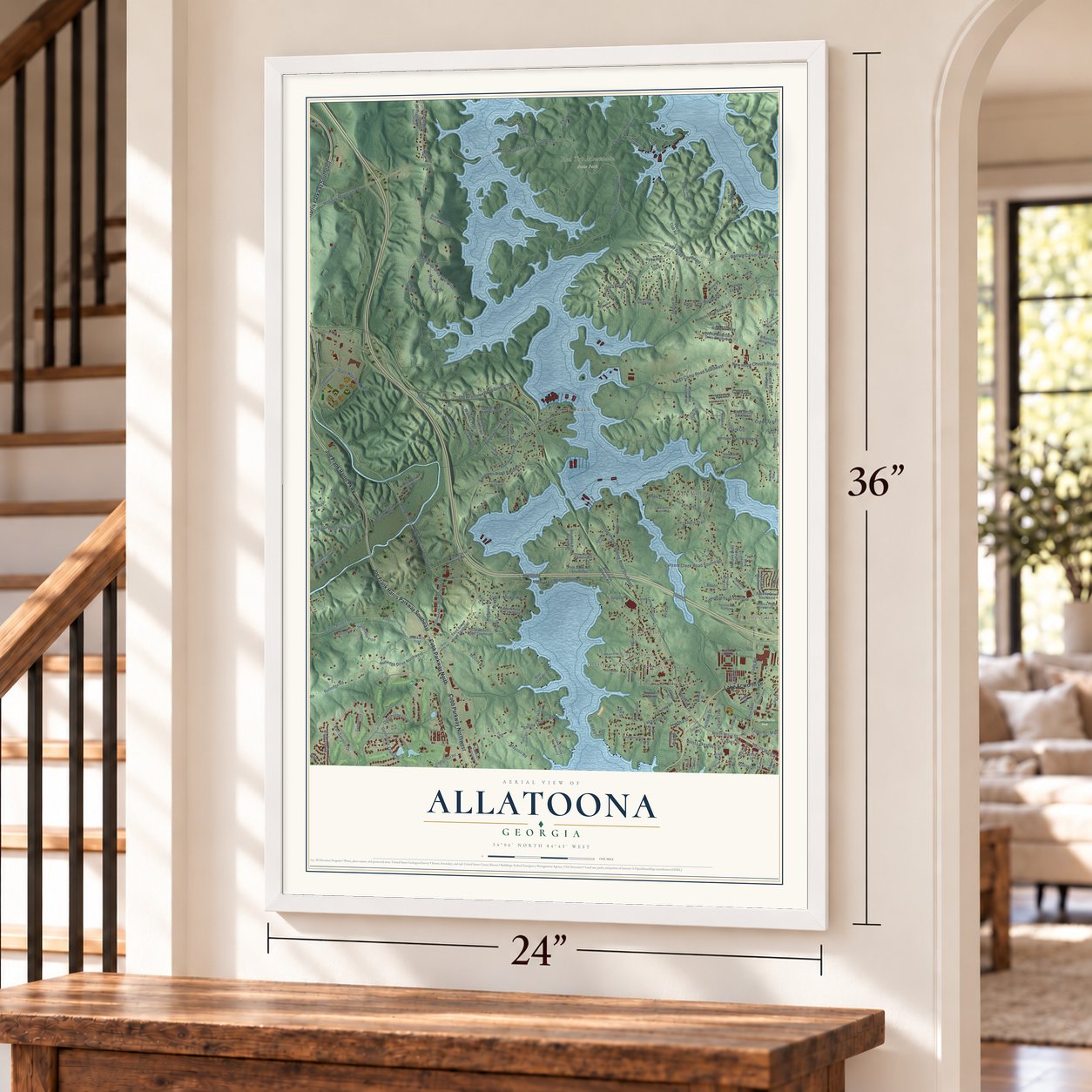
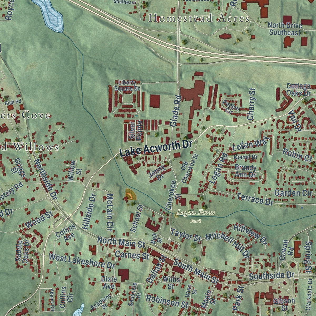
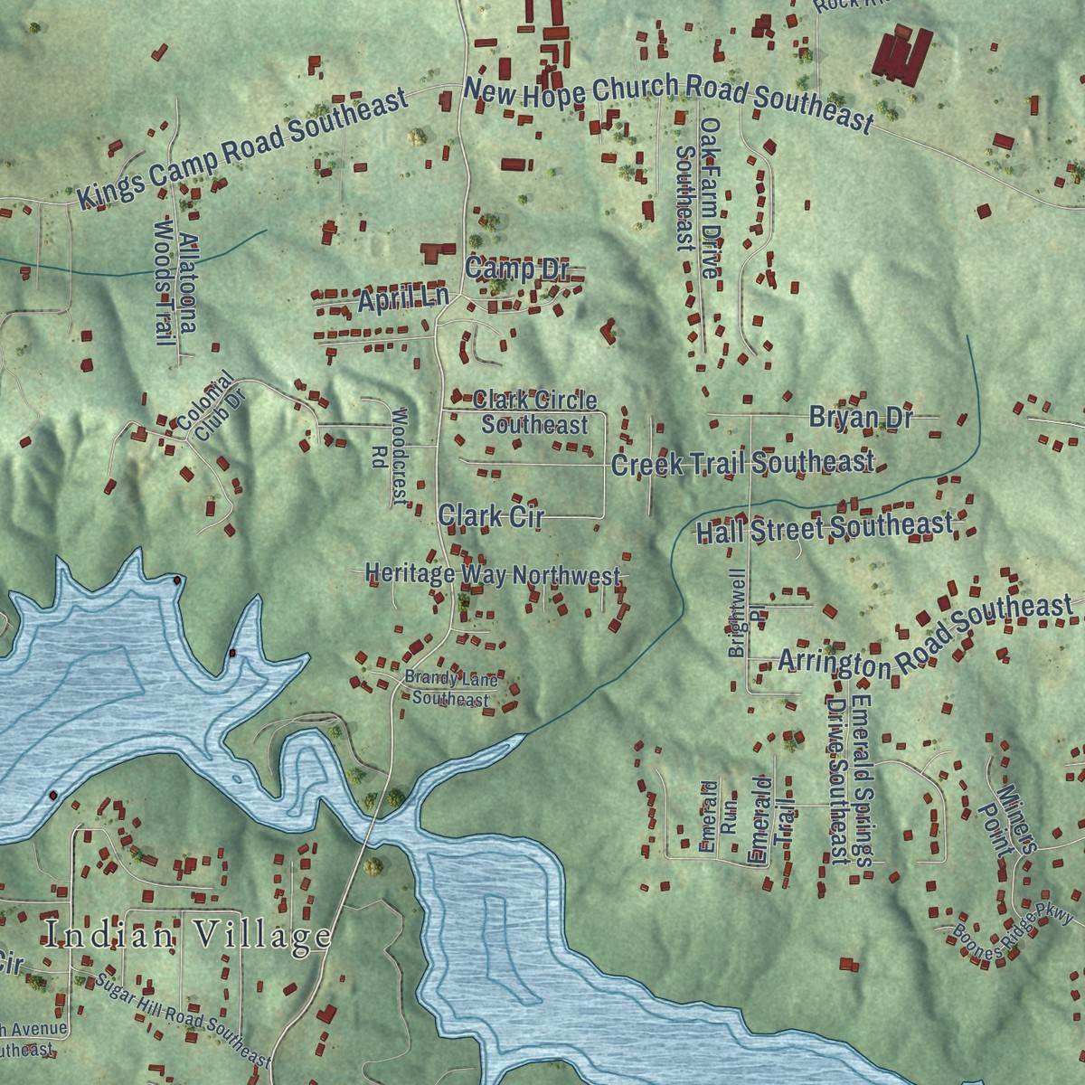
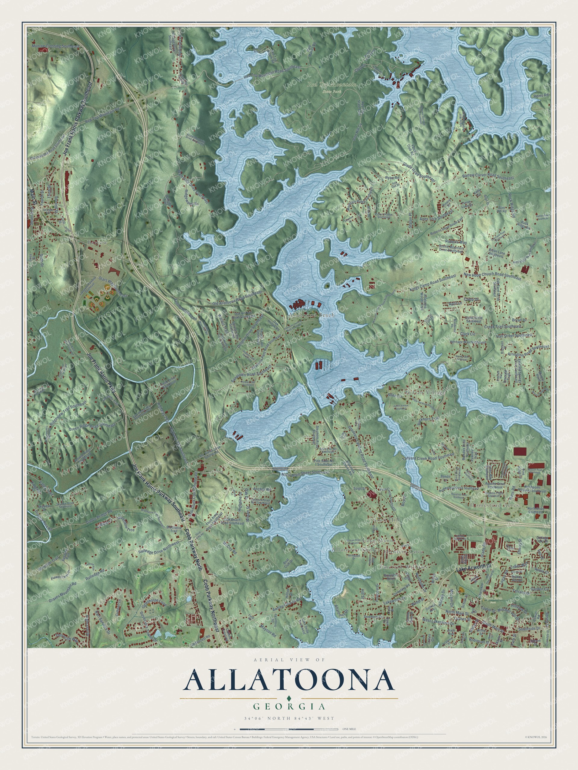
Explore Allatoona, Georgia from a whole new perspective. Created using aerial imagery and detailed geographic data, this map captures Allatoona building by building, with labeled streets, familiar landmarks, and shaded topographical relief that highlights the natural contours of the landscape.
Combining modern data with the timeless character of a vintage atlas, this map is just as interesting up close as it is beautiful on the wall. Whether you grew up in Allatoona, spent memorable years there, or call it home today, this unique map is a great way to celebrate a place that means something to you. Zoom in on the preview to look for your street, and then order a print to put your memories on the wall.
Three ways to hang it
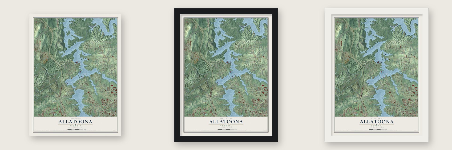
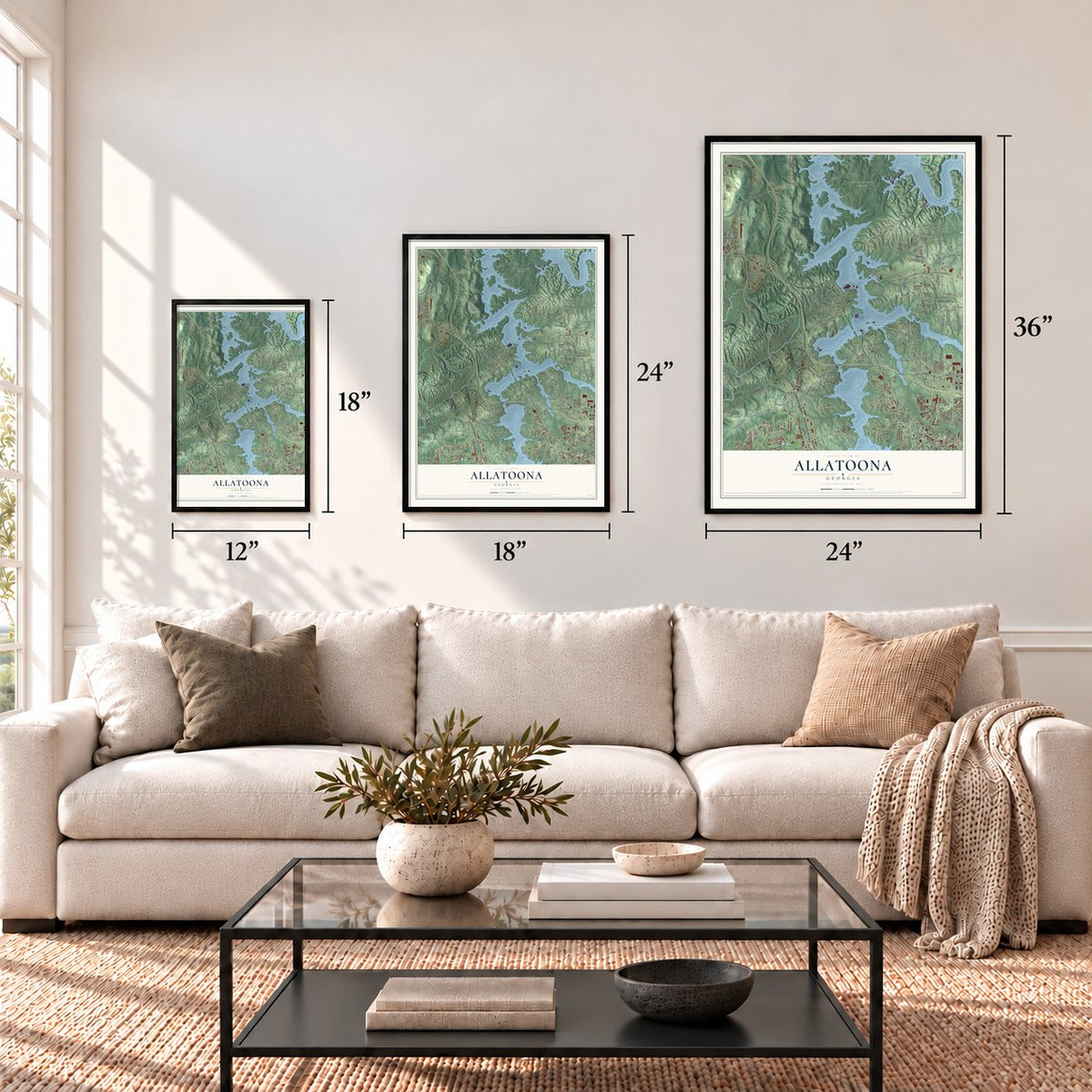
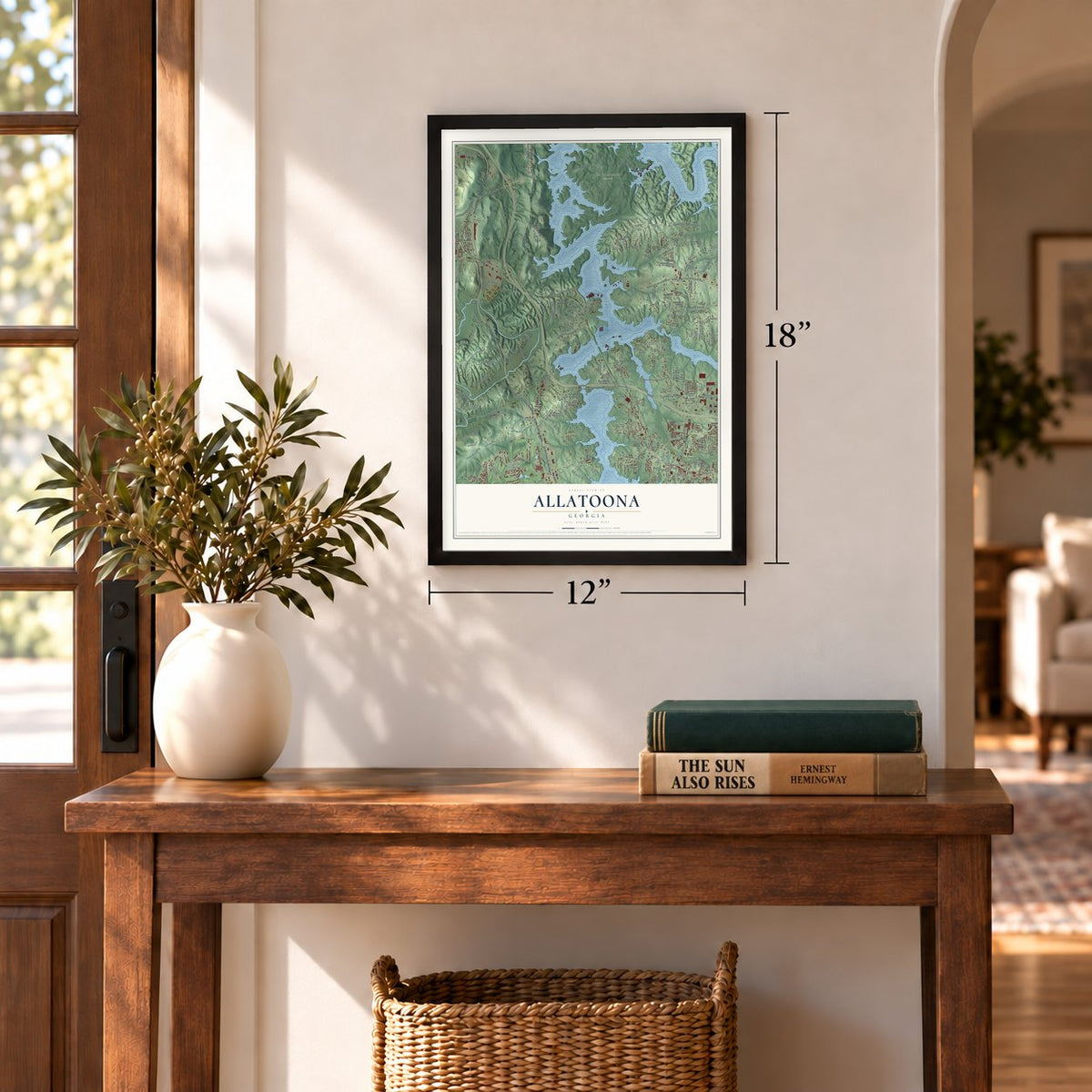
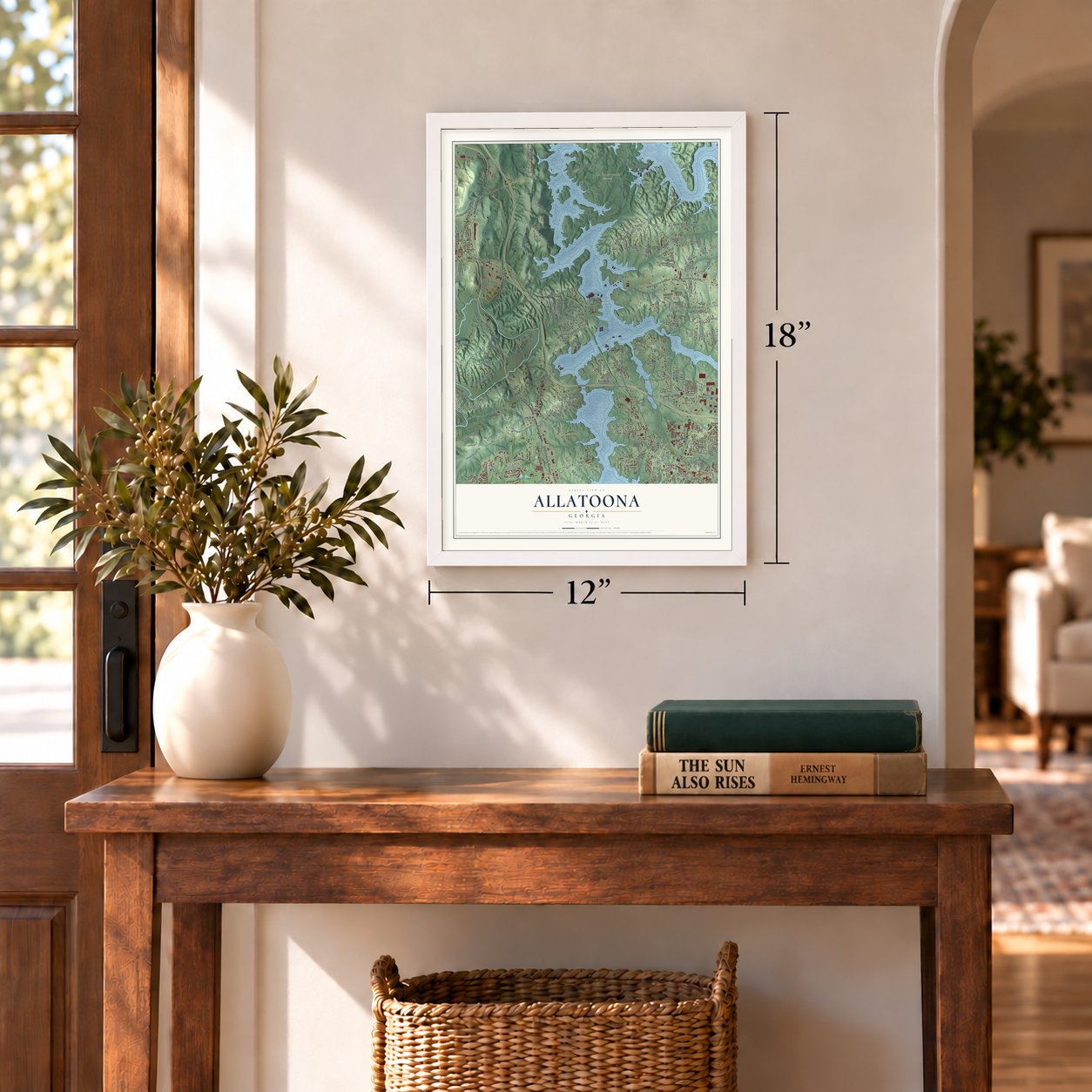
Unframed archival matte, a black wood frame or a white wood frame.
Up close
Geography Worth Displaying
This map was created using accurate cartographic data and authoritative geographic sources, including the U.S. Geological Survey and the Census Bureau. The map brings together terrain, waterways, roads, and building detail. The majority of the streets are labeled, houses are accurately depicted, and the topography is derived from government sources. Combining local data with carefully composed color and shading leads to this beautifully detailed Allatoona artwork for your wall.
Rather than simply showing street outlines, we’ve included as many of the street names as we could reasonably fit on the map while keeping their names legible. Zoom in on the high resolution preview to see exactly what’s on the map. We truly set out to create a statement piece for anyone who loves Allatoona. So whether it’s for you, or a gift for someone you love, we hope this map of Allatoona brings back fond memories.
Read the story behind this map: Detailed Map of Allatoona, Georgia.
Find your street
Names on the Allatoona map
Every name below is printed on this map. Look for your street, your school, the park where you played, or the pond down the road.
Places and landmarks12
- Homestead Acres
- Logan Farm Park
- Red Top Mountain State Park
- Bartow
- Allatoona Beach
- Allatoona Shores
- Indian Village
- Iron Hill
- Emerald Willows
- Lake Manor
- Hunters Cove
- Red Top State Park
Streets and roads254
- Cobb Parkway Northwest
- Main Street
- Joe Frank Harris Parkway
- Joe Frank Harris Parkway Southeast
- Lake Acworth Drive
- Cobb Parkway North
- Glade Road Southeast
- Glade Road
- Awtrey Church Road
- Red Top Mountain Road Southeast
- Highway 293 Southeast
- Highway 293
- Red Top Mountain Road
- Old Allatoona Road Southeast
- North Main Street
- Rock Ridge Road
- Carnes Street
- North Main Street Southeast
- Sandtown Road Southeast
- Oglethorpe Loop
- Waterside Drive Southeast
- Kings Camp Road Southeast
- Bartow Carver Road Southeast
- Groovers Landing Road Southeast
- Dabbs Bridge Road
- Iron Hill Cv
- Green Ridge Road Southeast
- Northside Drive
- Tanyard Creek Road Southeast
- Staton Place
Show all 254 streets
- McCoy Road
- New Hope Church Road Southeast
- Allatoona Drive
- Karl Sanders Drive
- Ridgeview Trail Southeast
- Lakewood Drive
- South Main Street
- Southside Drive
- Fourth Street
- Rutledge Road
- Dolphin Drive Southeast
- Governors Towne Drive
- Graves Mountain Road
- Somerset Lane
- Clark Circle
- Third Street
- Creek Trail Southeast
- Monroe Crossing Southeast
- Stars Way Southeast
- McLain Circle
- Rutledge Drive Northwest
- West Lakeshore Drive
- Terrace Drive
- Kelli Clark Court Southeast
- Allen Circle
- Logan Road
- Arrington Road Southeast
- Sixth Street
- Wood Street
- Dallas Street
- Ryan Road
- Second Street
- Blossom Trail
- Anns Trce Southeast
- Ross Road
- Highcrest Drive
- Hall Street Southeast
- Logan Way
- Buckhorn Trail
- Mitchell Hill Drive
- Valley Trail
- Ridgewater Drive
- Roberts Way
- Thorncliff Way
- Bryan Drive
- Seventh Street
- Club Drive
- Robinson Street
- Silverfern Trce
- Taylor Street
- Walnut Trail
- Mayson Road
- Garden Circle
- Hillview Drive
- Highpine Drive
- Spring Street
- April Lane
- Trillium Lane
- Anchor Road
- Rems Road
- Hillside Drive
- Cherry Street
- Oak Drive
- Vail Drive
- Wilson Street
- Robin Court
- Camp Drive
- Park Street
- Royco
- Hill Street
- Third Army Road Southeast
- Blackacre Trail
- Buck Ridge Road
- Cherokee Street
- Skyview Drive
- Dripping Rock Road
- First Street
- Pine Saint No 1 Southeast
- Ridgeway Court
- Old Alabama Road Southeast
- Allatoona Pass Road Southeast
- Yatch Club Road
- Clark Circle Southeast
- Aztec Way Southeast
- Mountain Ridge Southeast
- Keeling Mountain Road
- Homestead Drive Southeast
- Flower Farm Drive
- Tarpon Trail Southeast
- Retreat Ridge Southeast
- North Drive Southeast
- Brandy Ann Drive
- Red Top Beach Road
- School Street
- Appache Path
- Allatoona Shores Road
- Oak Beach Drive Southeast
- Pine Circle Southeast
- Emerald Trail
- Cemetery Road
- Park Marina Road
- Cowan Road
- Stephens Road Southeast
- Heritage Way Northwest
- Roberts Drive South East
- Joe Stella Drive Southeast
- Northpoint Parkway Southeast
- Oak Farm Drive Southeast
- Collins Avenue
- Cedarcrest Road
- Collins Circle
- Scenic Mountain Drive Southeast
- Hilltop Drive
- Emerald Springs Drive Southeast
- Village Drive Southeast
- Lakeside Trail
- Pine Ridge Lane
- Creek Drive Southeast
- Oak Hollow Road Southeast
- Apache Drive Southeast
- Lake Drive Northwest
- Spruce Lane Southeast
- Flint Hill Road
- Turner Lake Drive
- Oak Hollow Road
- Alan Drive
- Dewberry Circle
- Allatoona Woods Trail
- Gibson Street
- Bryan Lane Southeast
- Willis Street
- Maple Street
- Mohawk Drive Southeast
- Calibre Crossing
- Cottage Oaks Drive
- Oakside Trail
- Cuthbert Lane
- Pinecrest Drive
- Pawnee Trail
- Bandit Lane
- Boat Club Drive
- Cove Street
- Miners Point
- Bowsprit Point
- Spigs Street
- Griggs Street
- Dixie Avenue
- Saddle Oaks Drive
- Jenny Drive
- Kelly Circle
- Willow Street
- Silver Pointe
- Pinery Drive
- Dawn Drive
- Goss Street
- Rock Ridge Road Southeast
- Liberty Square Drive
- Blackacre Trail Southeast
- Island Mill Road Southeast
- Lakepoint Parkway Southeast
- Skyview Drive Southeast
- Ward Circle Southeast
- Academy Street
- Pickys Hollow Southeast
- East Greenridge Road Southeast
- Brightwell Place
- Pine Needle Trail Southeast
- Pepper Circle
- Old Grogan Road
- Lakeview Drive No 3 Southeast
- Arrow Mountain Drive Southeast
- Old Cherokee Street
- Winn Street
- Georgia Avenue
- Sequoia Place Southeast
- Tasha Trail
- Clarkdale Drive
- Captains Walk
- Woodcrest Road
- Cherry Street Southeast
- Stewart Lane
- Kienel Drive
- Seminole Drive
- Fernwood Drive
- Red Oak Drive
- Colonial Club Drive
- Summer Drive
- Poplar Street
- Emerald Run
- Holborn Way
- Field Road
- Bell Street
- Third Army Road
- Judith Avenue Southeast
- Websters Overlook Drive Southeast
- McKinney Camp Ground Road Southeast
- Somerset Lane Southeast
- Cox Farm Road Southeast
- Webster Ferry Landing
- Pumpkinvine Trail Southeast
- Hopson Road Southeast
- McLain Drive Northwest
- Allatoona Landing Road Southeast
- Sugar Hill Road Southeast
- Southridge Trail Southeast
- Pecan Lane Southeast
- Rattler Road Southeast
- Boones Ridge Parkway
- Pendley Trail Southeast
- Raindrop Lane Southeast
- East Holiday Court
- Snapper Lane Southeast
- Concord Path
- River Birch Court Southeast
- Brandy Lane Southeast
- Arapaho Drive Southeast
- Adams Circle
- Westwood Lane
- Vis Woods Southeast
- Shirley Lane
- Jordan Street
- Cindy Lane
- Bish Road
- Red Top Beach
Names are listed as they appear on the printed map. Zoom into the product photos to find them.
About Allatoona, Georgia
Allatoona was founded in 1838 along Allatoona Creek. Before the Civil War, people poured in hunting for gold, and a silver mine nearby drew more miners. Later a dam was built on the Etowah River. Its waters flooded the old town completely.
Keep exploring Georgia
Allatoona is one of 1,042 Georgia towns we've mapped. Every dot on the map is a print of its own.
The search covers every state, Georgia first.
Near Allatoona
Order 2 or more town maps and save 10%. Shown in the size and finish you picked above, so they hang as a set.
- Emerson 12" x 18" / Archival Matte Print $39.99
- Acworth 12" x 18" / Archival Matte Print $39.99
- Oak Grove 12" x 18" / Archival Matte Print $39.99

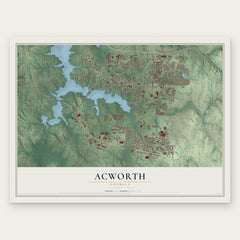

More maps nearby: Cartersville, Kennesaw, Kennesaw State University, Cherokee and Lost Mountain.
The art of mapping a place
How This Map Was Made
Real places. Remarkable detail. Discover the layers that turn geographic data into a map of home.

The view from above
Aerial imagery reveals the character of the land: woodland, open fields, and the patterns of a place.

The shape of the land
Elevation data brings hills, valleys, and subtle changes in the landscape into view.

The details of home
Roads, waterways, and building footprints come together to make the map feel unmistakably local.

Geography becomes art
Considered color, shading, and typography bring the layers together in a map made for your wall.


Process illustrated with Mendon, Massachusetts. Aerial imagery: USDA NAIP. Terrain: USGS 3D Elevation Program. Map details and finished artwork: KNOWOL.
The Details
About This Print
Choose an archival matte print, or a black or white Ayous wood frame. The archival matte print is unframed.
Select your size and finish above to see the matching product image and price.
Materials & Craftsmanship
A contemporary map with the character of a classic atlas, printed on archival matte paper. Optional frames are made from Ayous wood.
Your printed map does not include the watermark shown in the full-map preview.
Shipping & Delivery
Free shipping within the United States. Every print is made to order in the USA.
Buying a gift? Add a note in your cart and we'll include it. We never put prices in the package.
Prints ship within 2 to 3 business days. Allow 7 to 10 days total from ordering for delivery. Timing may vary during holidays or periods of high order volume.
Read our shipping policy.
Returns and damaged prints
Each print is made to order. Change-of-mind refunds are not available after production.
If your print arrives damaged, misprinted or incorrect, contact support@knowol.com within 30 days of receiving it. Include your order number, photos and a description of the issue.
Read our full refund and replacement policy. For questions about your order, email support@knowol.com.