
Search for another town

Free U.S. delivery 7 to 10 days after you order
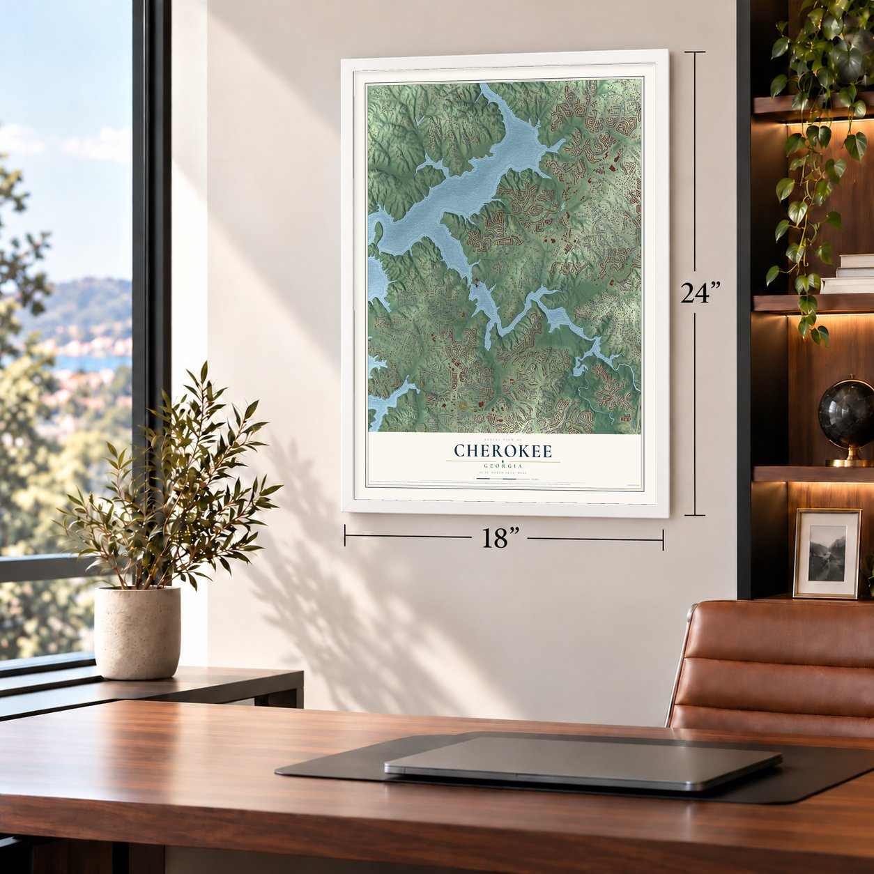
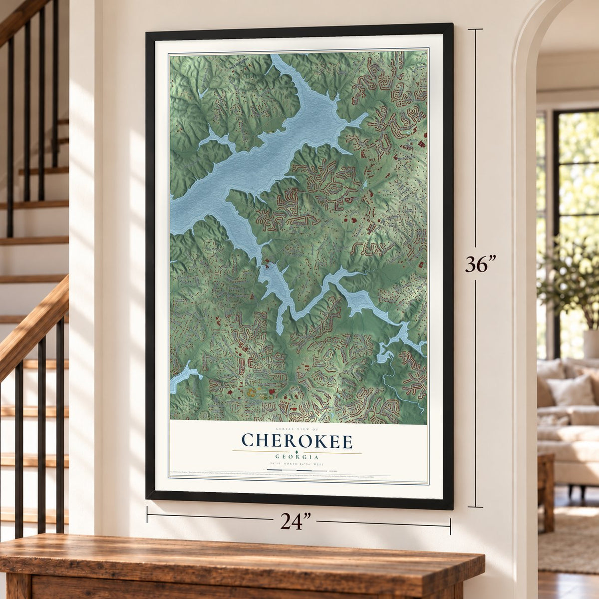
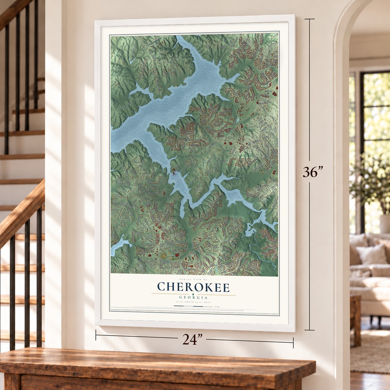
Cherokee, Georgia Map Art
Building by building, with labeled streets and shaded relief.
12" x 18" Archival Matte Print
A Map of Home. A Work of Art.
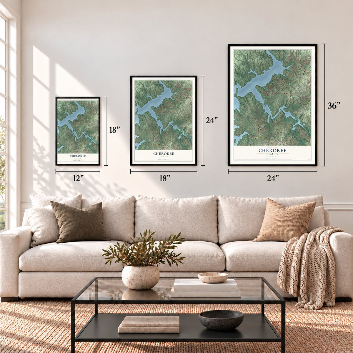
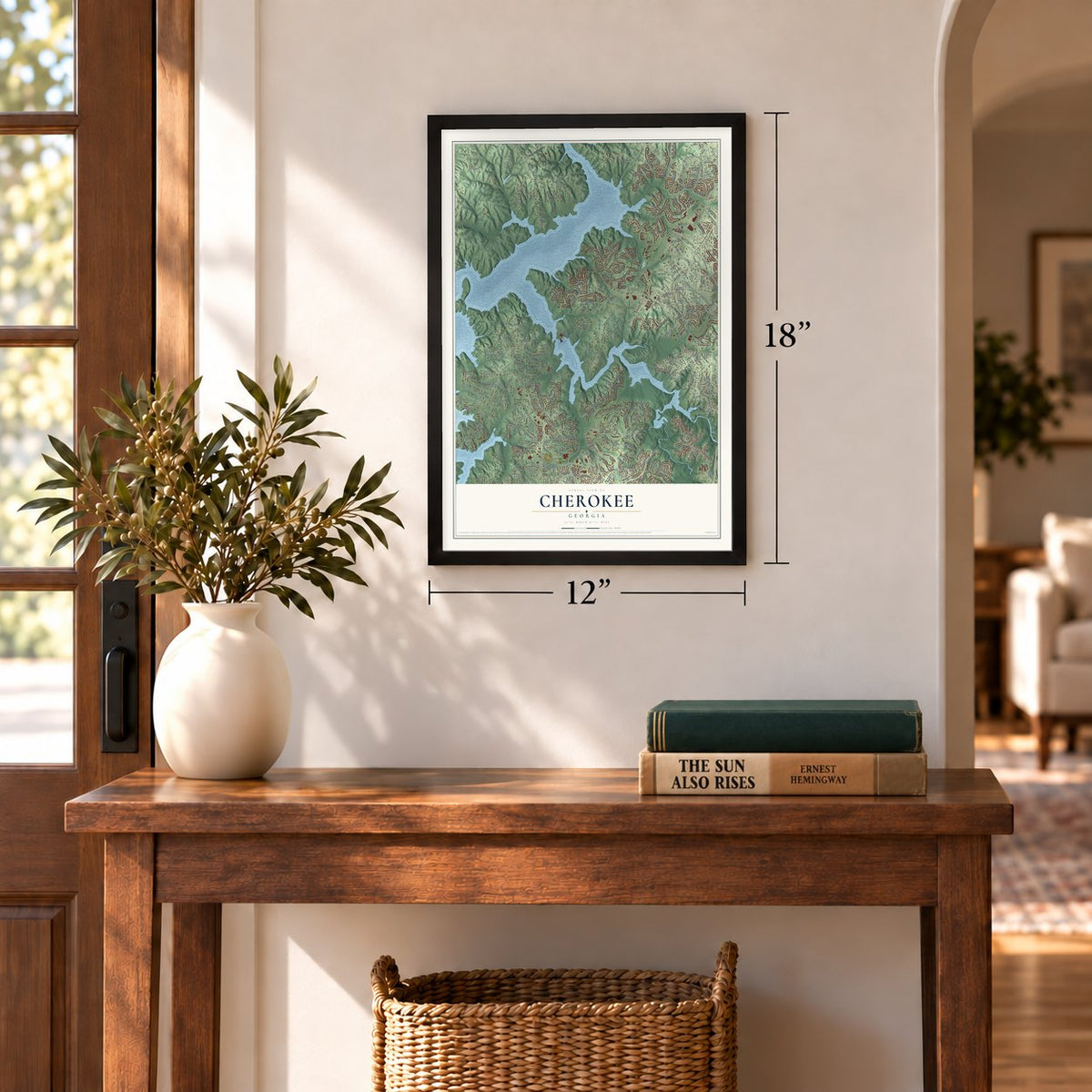
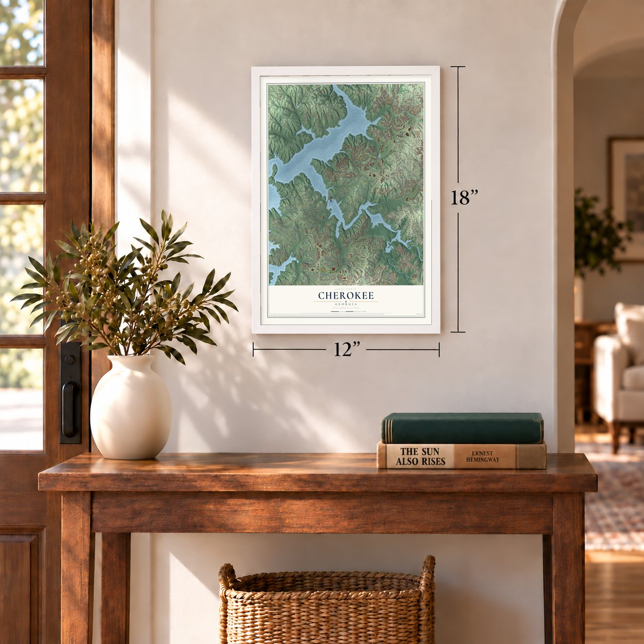
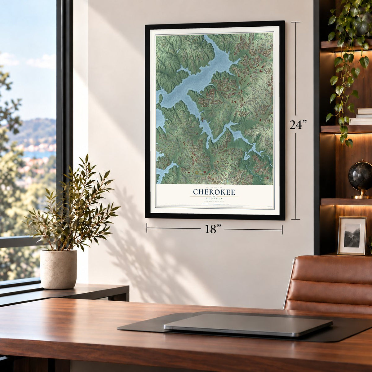
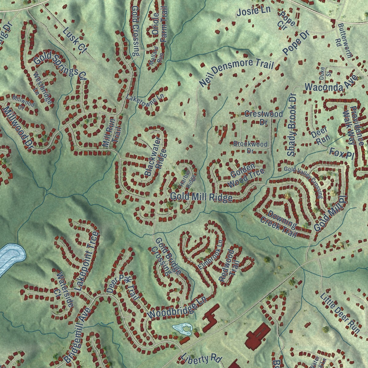
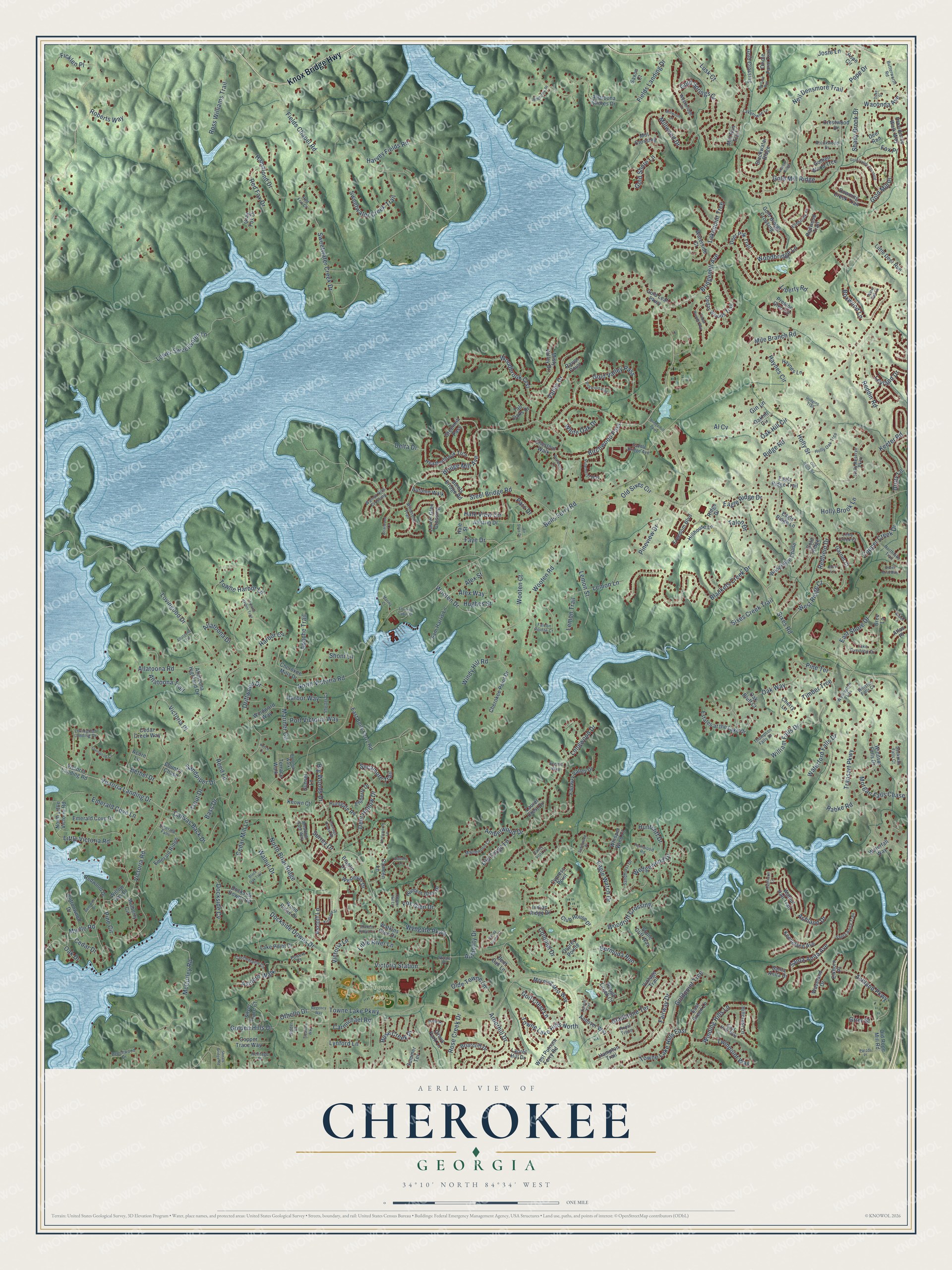
Explore Cherokee, Georgia from a whole new perspective. Created using aerial imagery and detailed geographic data, this map captures Cherokee building by building, with labeled streets, familiar landmarks, and shaded topographical relief that highlights the natural contours of the landscape.
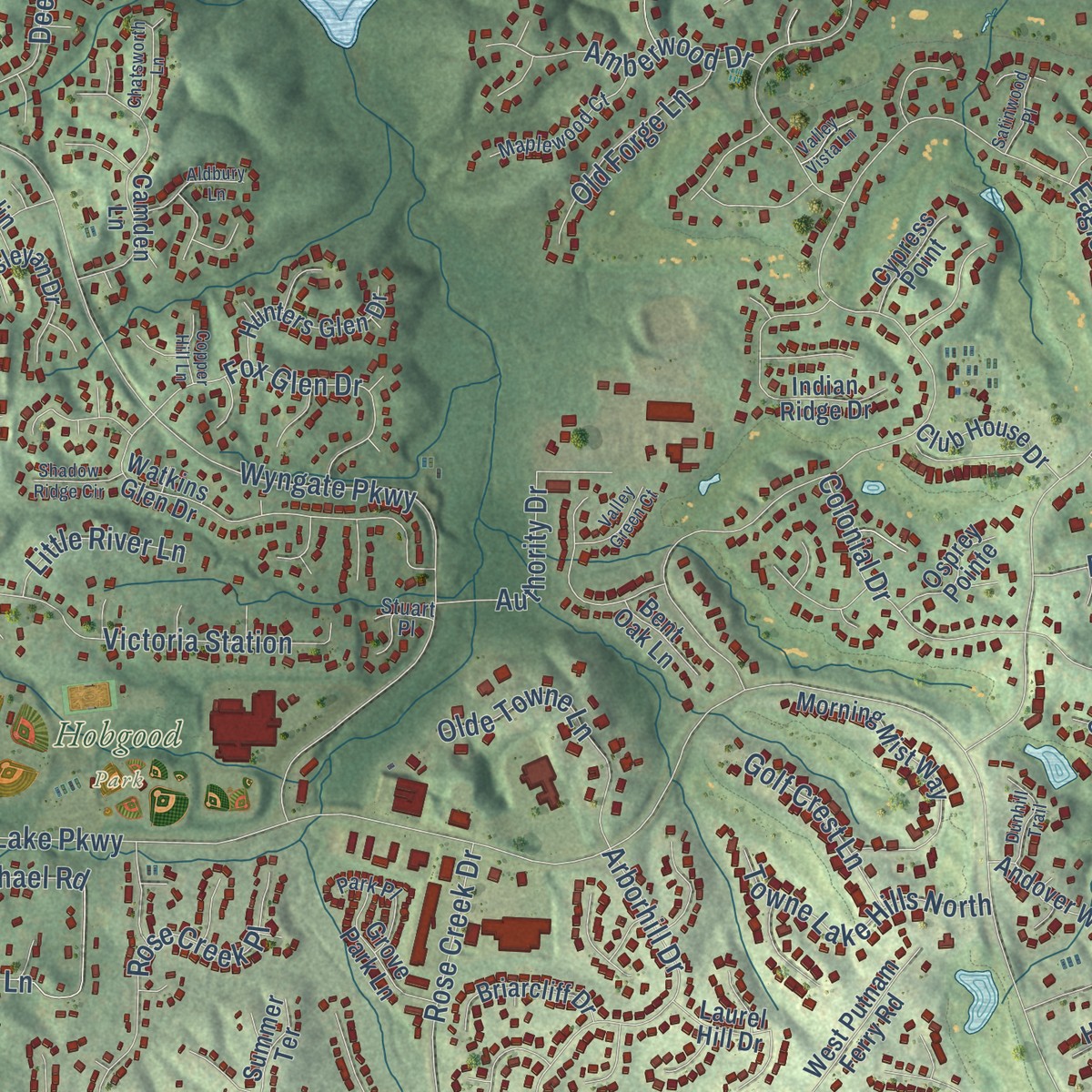
Combining modern data with the timeless character of a vintage atlas, this map is just as interesting up close as it is beautiful on the wall. Whether you grew up in Cherokee, spent memorable years there, or call it home today, this unique map is a great way to celebrate a place that means something to you. Zoom in on the preview to look for your street, and then order a print to put your memories on the wall.
Three ways to hang it
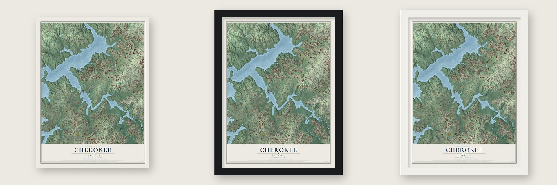
Unframed archival matte, a black wood frame or a white wood frame.
Up close
Geography Worth Displaying
This map was created using accurate cartographic data and authoritative geographic sources, including the U.S. Geological Survey and the Census Bureau. The map brings together terrain, waterways, roads, and building detail. The majority of the streets are labeled, houses are accurately depicted, and the topography is derived from government sources. Combining local data with carefully composed color and shading leads to this beautifully detailed Cherokee artwork for your wall.
Rather than simply showing street outlines, we’ve included as many of the street names as we could reasonably fit on the map while keeping their names legible. Zoom in on the high resolution preview to see exactly what’s on the map. We truly set out to create a statement piece for anyone who loves Cherokee. So whether it’s for you, or a gift for someone you love, we hope this map of Cherokee brings back fond memories.
Read the story behind this map: Detailed Map of Cherokee, Georgia.
Find your street
Names on the Cherokee map
Every name below is printed on this map. Look for your street, your school, the park where you played, or the pond down the road.
Places and landmarks1
- Hobgood Park
Streets and roads347
- Knox Bridge Highway
- Bridgemill Avenue
- Fields Chapel Road
- Gold Valley Pass
- Oak Hill Circle
- Bells Ferry Road
- Ridge Road
- Sixes Road
- Eagle Watch Drive
- Towne Lake Parkway
- Victoria Road
- Sweetwater Creek Drive
- Wooten Drive
- Lovingood Drive
- Wyngate Parkway
- Holly Street
- Gold Mill Ridge
- Lower Sweetwater Lane
- Transart Parkway
- North Victoria Road
- Blankets Creek Drive
- Millwood Drive
- Copper Creek Drive
- Longwood Drive
- Little Victoria Road
- McCurley Road
- Fields Landing Drive
- Ashland Parkway
- Boxwood Lane
- Fairway Drive
Show all 347 streets
- Harvey Fields Road
- Steel Bridge Road
- Victoria Landing Drive
- Dockside Downs Drive
- William Falls Drive
- Colonial Drive
- Bridge Mill Avenue
- Cedar Mill Lane
- Towne Lake Hills East
- Mile Branch Road
- East Shore Drive
- North Briar Ridge
- Woodbridge Lane
- Wedgewood Drive
- Woodbrook Crst
- Birchwood Pass
- Victoria Station
- Ashfern Walk
- Lusk Court
- Golden Hills Drive
- Ross Williams Trail
- Oak Way
- Pine Circle
- Winding Hills Lane
- Driftwood Drive
- Lemon Street
- West Ridge Court
- Mariner Circle
- Towne Harbor Lane
- Parc Drive
- Wooten Road
- Deer Hollow Drive
- Hammond Drive
- Reed Lane
- Sweetwater Creek Trail
- Valley Drive
- Cedar Drive
- Carmichael Road
- Keeter Road
- Neil Densmore Trail
- Walnut Drive
- Goldpoint Trce
- Fox Glen Drive
- Rose Creek Place
- Arborhill Drive
- Woodruff Crossing
- Canvas Back Drive
- Allatoona Road
- Gold Mill Place
- Ascott Lane
- Pope Drive
- Santa Anita Avenue
- Emerald Cove Lane
- Gold Springs Court
- Red Fox Drive
- Big Woods Drive
- Reddin Road
- Othello Drive
- Fox Place
- Olde Towne Lane
- Pine Terrace
- Towne Lake Hills North
- Surrey Drive
- Gladstone Terrace
- Authority Drive
- Amberwood Drive
- Waterford Falls Drive
- Lynford Lane
- Apache Trail
- Shoni Lane
- Hale View Circle
- Pineview Drive
- Timber Trce
- Victoria Place
- Port Victoria Way
- Eagle Ridge Drive
- Faye Drive
- Haynes Circle
- Myrtle Road
- Morgan Falls Chase
- Lakepoint Trce
- Rose Creek Drive
- Old Forge Lane
- Alex Way
- Allatoona Trail
- Alex Street
- Sixes Creek Trail
- Lemon Trail
- Harbor Cv
- Twinpoint Way
- Sycamore Trail
- Allatoona Drive
- Liberty Road
- Bass Drive
- Gold Shore Lane
- Bermuda Run
- Windy Hill Road
- Leyland Drive
- Shady Brook Drive
- Ficklen Place
- Wooten Court
- Delta Drive
- Waconda Avenue
- Golf Crest Lane
- Dockside Cv
- White Oak Drive
- Huntcliff Drive
- Sandpiper Drive
- Little River Lane
- Oak Drive
- Gin Lane
- Holly Brook Lane
- Trout Drive
- Harbor Way
- Bethel Drive
- Old Sixes Circle
- Lemon Lane
- Talon Drive
- Hughes Street
- Roberts Way
- Ashland Drive
- Al Cv
- Redfield Drive
- Victoria Lane
- Drury Lane
- Rabke Road
- Grier Street
- Josie Lane
- Steels Bridge Road
- Victoria Landing Road
- Dockside Downs Road
- Walnut Hall Trail
- Cedar Creek Way
- Allatoona Shores Drive
- Cedar Woods Trail
- Cherokee Point Drive
- Watkins Glen Drive
- North Little Victoria Road
- Fairway Valley Drive
- Gold Bridge Crossing
- Preston Glen Circle
- Heatherbrook Trce
- Morning Mist Way
- Emerald Cove Drive
- Cherokee Mills Drive
- Gold Leaf Parkway
- Little Deer Run
- Camden Lane
- Laurel Glen Crossing
- Misty Valley Drive
- Whisper Wind Court
- Indian Ridge Drive
- Downing Creek Trail
- Woodridge Chase
- Windsor Falls Drive
- Airstrip Drive
- Eagle Ridge Lane
- Greenhill Pass
- East Bells Ferry Road
- Pope Circle
- Oakhill Circle
- Santa Anita Drive
- Lake Point Drive
- Silver Trace Court
- Estates at the Lake Drive
- Emerald Ridge
- Crestwood Drive
- Deer Park Trail
- Vintage Trail
- Blackwater Ridge
- Huntgate Road
- Elsberry Drive
- Keeneland Avenue
- Gold Crossing
- Hunters Glen Drive
- Rough Creek Court
- Wesleyan Drive
- Redwood Drive
- Oriole Farm Trail
- Cherry Lane
- Andover Way
- Sam Harris Lane
- Cottonwood Drive
- West Putnam Ferry Road
- Providence Walk Way
- Tall Oaks Drive
- Stone Cliff Way
- Windward Way
- Briarcliff Drive
- Club House Drive
- Gray Fox Drive
- Waterside Court
- Eagle Ridge Trail
- Copper Trace Way
- Haynes Lane
- Old Rope Mill Road
- Grove Park Lane
- Mulberry Circle
- Laurel Crest Drive
- Autumn Walk
- Freedom Boulevard
- East Green Lane
- Willow Oak Drive
- Waveland Drive
- Hillhouse Lane
- Golden Wood Trce
- Chestnut Walk
- Terrace Walk
- Wood Ridge Drive
- Waterfall Way
- Hillcrest Lane
- Saxon Court
- Allatoona Highland Drive
- Osprey Pointe
- Hampton Trail
- Sunset Lane
- Keown Court
- Gold Ridge
- Cypress Point
- Deer Run
- Garnet Court
- Braelin Court
- Ridge Drive
- Redwood Trail
- Laurel Hill Drive
- Elkhorn Place
- Bent Oak Lane
- Mill Run Trail
- Mill Crossing
- Summer Terrace
- Atlas Place
- Oak Bluff Court
- Country Chase
- Raven Point
- Acorn Lane
- Hale Street
- Bree Lane
- Holly Reserve Parkway
- Lovingood Landing Drive
- Lake Overlook Drive
- Meadow Gate Way
- Westbridge Lane
- Castlemaine Circle
- Butterworth Road
- Windsong Trail
- Walnut Hills Crossing
- Falcon Pointe Court
- Maplewood Court
- Emerald Falls
- Elmbrook Lane
- Northlake Trail
- Beechwood Drive
- Little Creek Court
- Holly Oak Trce
- Pinehurst Way
- Santa Anita Trail
- Thompson Falls Drive
- Sandhurst Drive
- East Hills Way
- Fernwood Road
- Colonial Walk
- Heritage Place
- Laketowne Lane
- Park Place
- Wellington Falls
- Shelter Cv
- Royal Troon
- Brookwood Drive
- Anthony Place
- Saddle Bridge Avenue
- Winston Falls Court
- Sackman Falls Court
- Powers Court
- Hidden Court
- Scenic Way
- Red Fox Court
- Stuart Place
- Towne Harbor Trail
- Shoals Bridge Road
- Black Oak Trail
- Cedar Woods Way
- Gold Valley Crossing
- Regency Way
- Bentwood Drive
- Floating Cabin Drive
- Carriage Creek Road
- Briarwood Lane
- Redwood Lane
- Valley Vista Lane
- Aldbury Lane
- Harbor Ridge
- Kingland Street
- Lovingood Court
- Chatsworth Lane
- Dogwood Way
- Millwood Court
- Dunhill Trail
- Valley Green Court
- Water Oak Lane
- Parodi Place
- Allatoona Crst
- Shadow Ridge Circle
- Old Holly Road
- Marina Court
- Bridgemill Parkway
- Silver Mist Way
- Satinwood Place
- Castleton Lane
- Andes Lane
- Treasure Way
- Mallard Run
- Hodgins Trail
- Copper Hill Lane
- Ruby Lane
- Duke Street
- Air Strip Drive
- Ketch Cv
Names are listed as they appear on the printed map. Zoom into the product photos to find them.
Keep exploring Georgia
Cherokee is one of 1,042 Georgia towns we've mapped. Every dot on the map is a print of its own.
The search covers every state, Georgia first.
Near Cherokee
Order 2 or more town maps and save 10%. Shown in the size and finish you picked above, so they hang as a set.
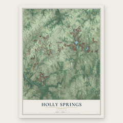
- Holly Springs 12" x 18" / Archival Matte Print $39.99
- Oak Grove 12" x 18" / Archival Matte Print $39.99
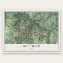
- Woodstock 12" x 18" / Archival Matte Print $39.99

More maps nearby: Canton, Hickory Flat, Kennesaw State University, Allatoona and Acworth.
The art of mapping a place
How This Map Was Made
Real places. Remarkable detail. Discover the layers that turn geographic data into a map of home.

The view from above
Aerial imagery reveals the character of the land: woodland, open fields, and the patterns of a place.

The shape of the land
Elevation data brings hills, valleys, and subtle changes in the landscape into view.

The details of home
Roads, waterways, and building footprints come together to make the map feel unmistakably local.

Geography becomes art
Considered color, shading, and typography bring the layers together in a map made for your wall.


Process illustrated with Mendon, Massachusetts. Aerial imagery: USDA NAIP. Terrain: USGS 3D Elevation Program. Map details and finished artwork: KNOWOL.
The Details
About This Print
Choose an archival matte print, or a black or white Ayous wood frame. The archival matte print is unframed.
Select your size and finish above to see the matching product image and price.
Materials & Craftsmanship
A contemporary map with the character of a classic atlas, printed on archival matte paper. Optional frames are made from Ayous wood.
Your printed map does not include the watermark shown in the full-map preview.
Shipping & Delivery
Free shipping within the United States. Every print is made to order in the USA.
Buying a gift? Add a note in your cart and we'll include it. We never put prices in the package.
Prints ship within 2 to 3 business days. Allow 7 to 10 days total from ordering for delivery. Timing may vary during holidays or periods of high order volume.
Read our shipping policy.
Returns and damaged prints
Each print is made to order. Change-of-mind refunds are not available after production.
If your print arrives damaged, misprinted or incorrect, contact support@knowol.com within 30 days of receiving it. Include your order number, photos and a description of the issue.
Read our full refund and replacement policy. For questions about your order, email support@knowol.com.