
Search for another town

Free U.S. delivery 7 to 10 days after you order
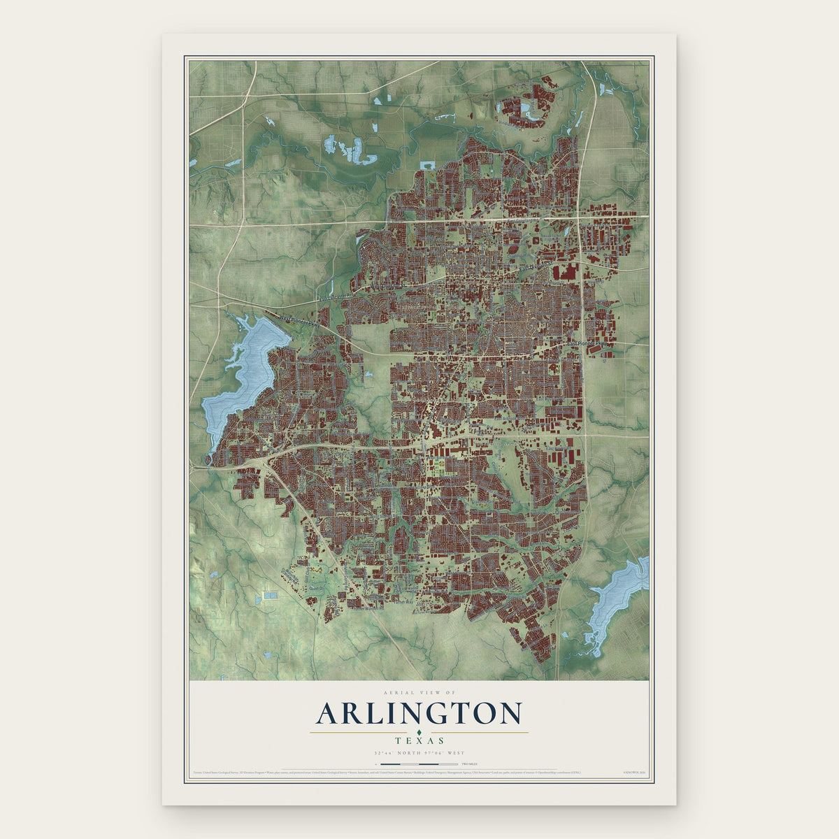
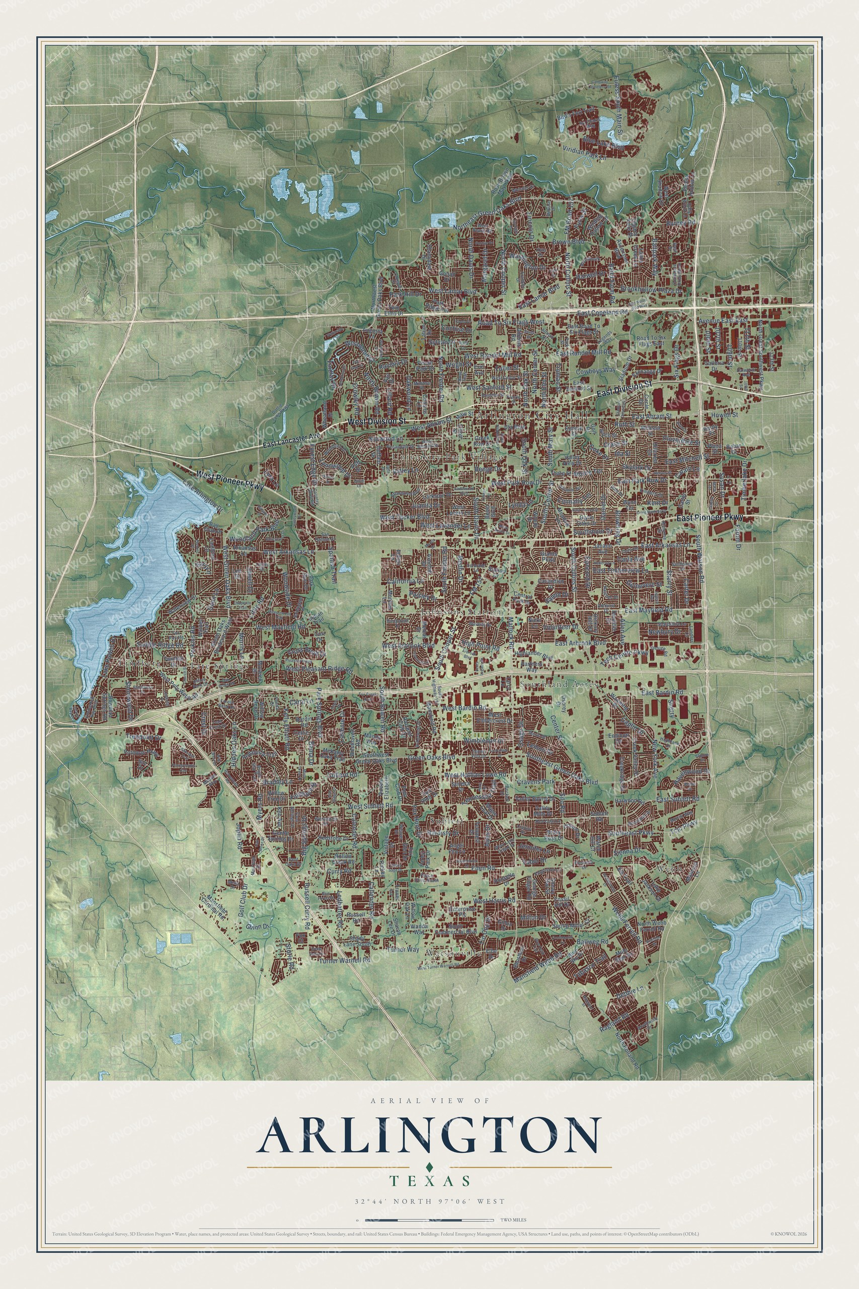
Arlington, Texas Map Art
Building by building, with labeled streets and shaded relief.
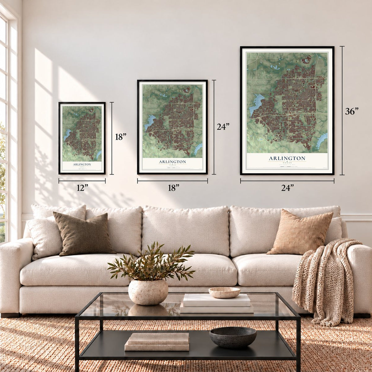
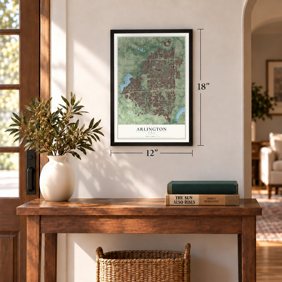
12" x 18" Archival Matte Print
A Map of Home. A Work of Art.
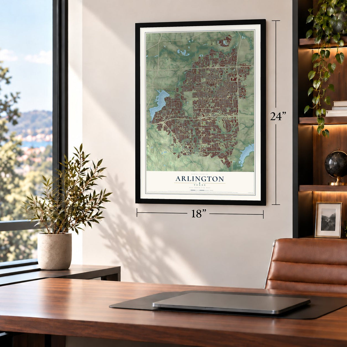
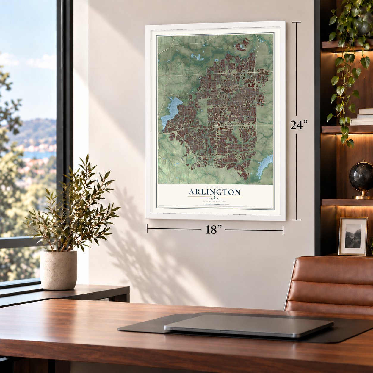
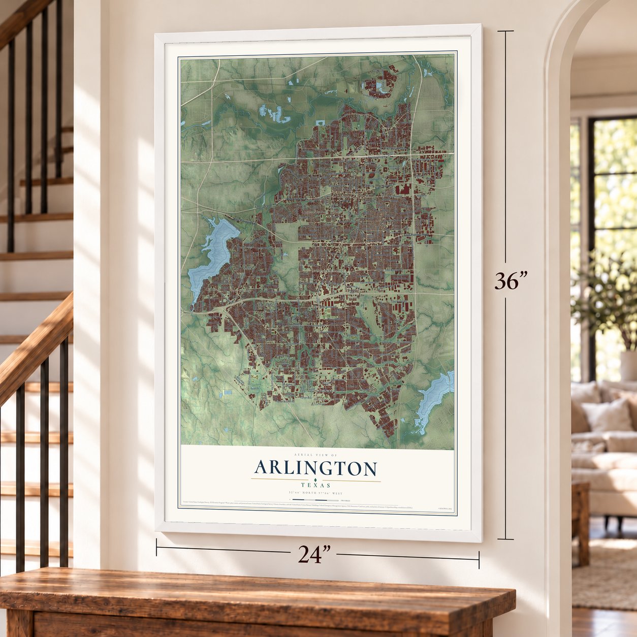
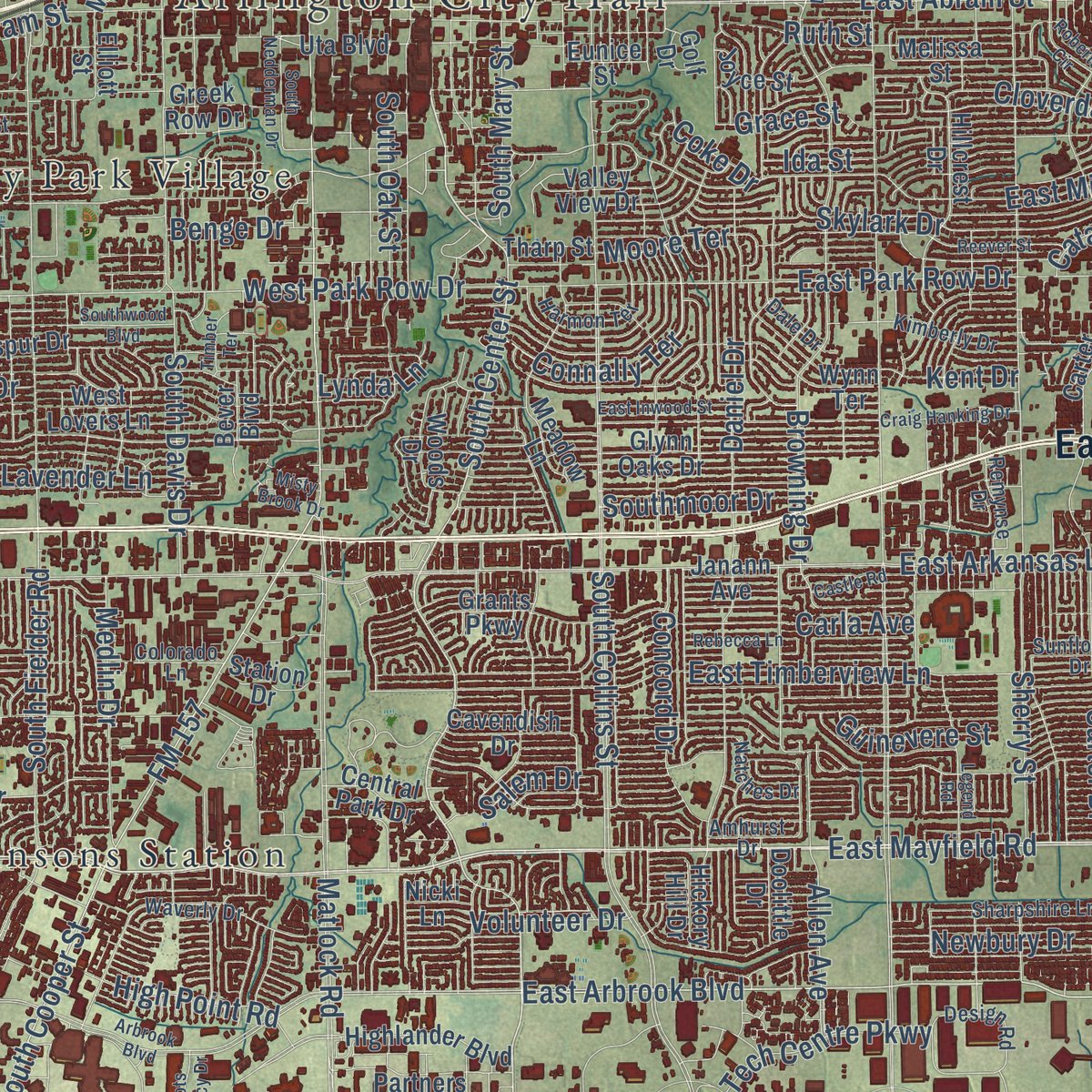
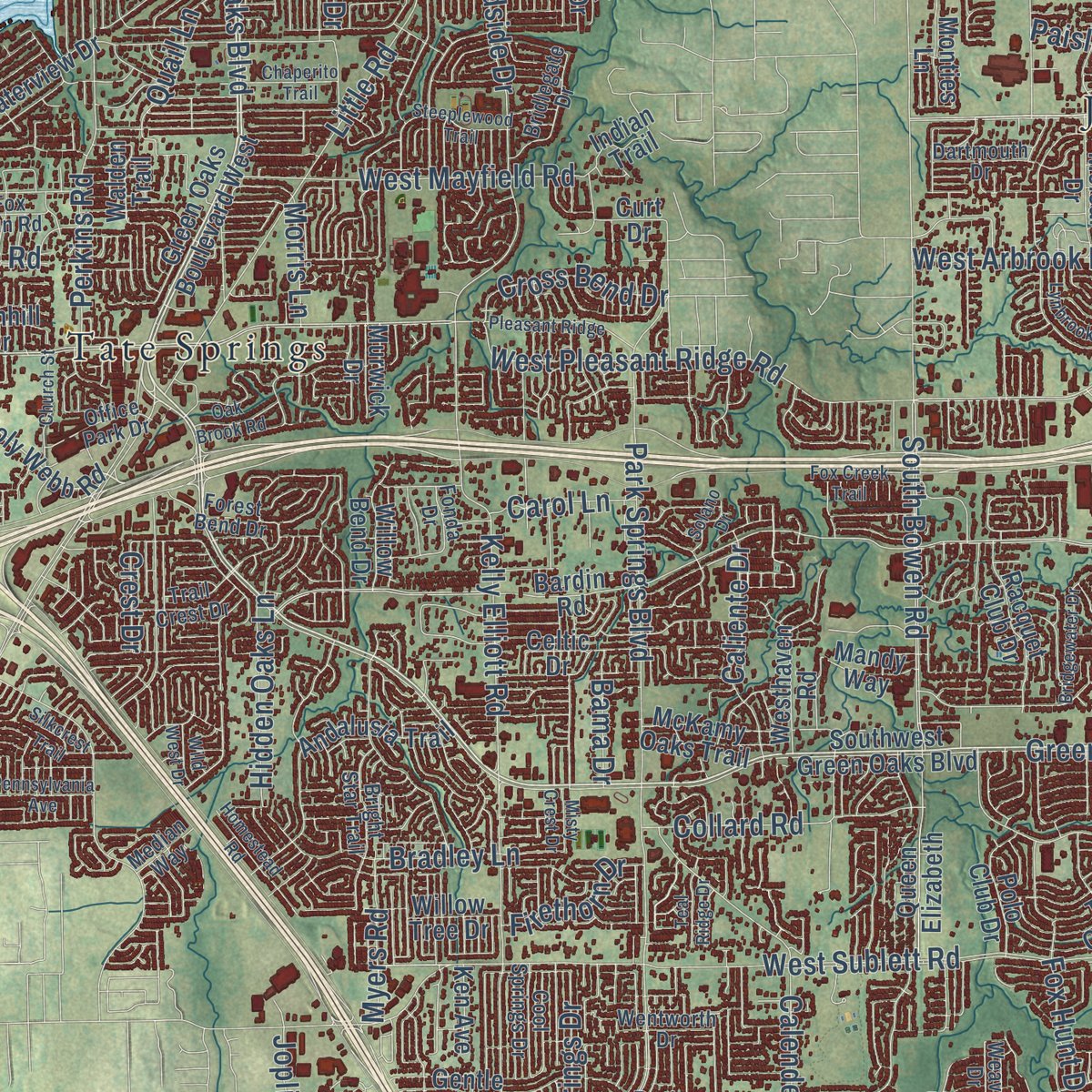
Explore Arlington, Texas from a whole new perspective. Created using aerial imagery and detailed geographic data, this map captures Arlington building by building, with labeled streets, familiar landmarks, and shaded topographical relief that highlights the natural contours of the landscape.
Combining modern data with the timeless character of a vintage atlas, this map is just as interesting up close as it is beautiful on the wall. Whether you grew up in Arlington, spent memorable years there, or call it home today, this unique map is a great way to celebrate a place that means something to you. Zoom in on the preview to look for your street, and then order a print to put your memories on the wall.
Three ways to hang it
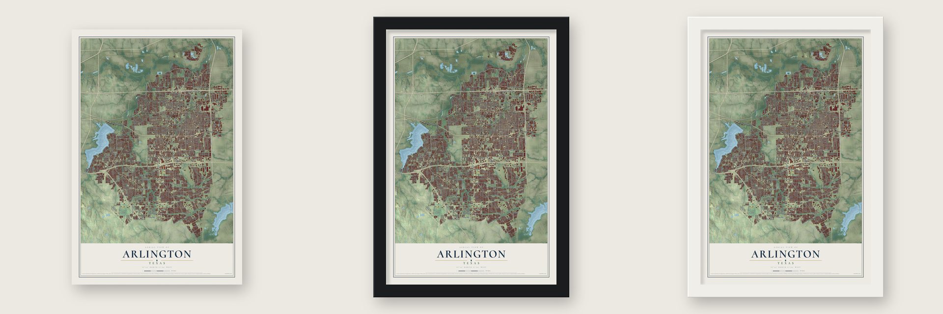
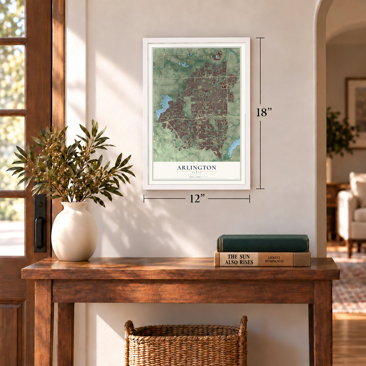
Unframed archival matte, a black wood frame or a white wood frame.
Up close
Geography Worth Displaying
This map was created using accurate cartographic data and authoritative geographic sources, including the U.S. Geological Survey and the Census Bureau. The map brings together terrain, waterways, roads, and building detail. The majority of the streets are labeled, houses are accurately depicted, and the topography is derived from government sources. Combining local data with carefully composed color and shading leads to this beautifully detailed Arlington artwork for your wall.
Rather than simply showing street outlines, we’ve included as many of the street names as we could reasonably fit on the map while keeping their names legible. Zoom in on the high resolution preview to see exactly what’s on the map. We truly set out to create a statement piece for anyone who loves Arlington. So whether it’s for you, or a gift for someone you love, we hope this map of Arlington brings back fond memories.
Read the story behind this map of Arlington, Texas from 2026.
Find your street
Names on the Arlington map
Every name below is printed on this map. Look for your street, your school, the park where you played, or the pond down the road.
Places and landmarks10
- Arlington City Hall
- Watsonville
- Southland Acres
- Lindberg
- Webb
- Sublett
- University Park Village
- Johnsons Station
- Tate Springs
- Cravens Park
Streets and roads484
- West Pioneer Parkway
- East Pioneer Parkway
- East Division Street
- West Division Street
- Green Oaks Boulevard
- Northeast Green Oaks Boulevard
- Southeast Green Oaks Boulevard
- West Mayfield Road
- West Green Oaks Boulevard
- East Mayfield Road
- South Center Street
- South Watson Road
- Avenue East East
- Lincoln Drive
- East Copeland Road
- North Center Street
- Connally Terrace
- East Lamar Boulevard
- East Arbrook Boulevard
- South Collins Street
- Matlock Road
- FM 157
- New York Avenue
- South Cooper Street
- West Pleasant Ridge Road
- East Arkansas Lane
- West Sublett Road
- East Abram Street
- West Bardin Road
- South Bowen Road
Show all 484 streets
- West Arkansas Lane
- East Randol Mill Road
- Park Springs Boulevard
- North Cooper Street
- East Sublett Road
- North Collins Street
- Little Road
- West Lamar Boulevard
- Ballpark Way
- North Fielder Road
- Sherry Street
- Eden Road
- South Fielder Road
- East Bardin Road
- West Park Row Drive
- East Park Row Drive
- West Harris Road
- Kelly Elliott Road
- West Arbrook Boulevard
- Mansfield Webb Road
- Brown Boulevard
- East Mitchell Street
- Woodside Drive
- North Davis Drive
- Southeast Parkway
- West Randol Mill Road
- Shorewood Drive
- East Timberview Lane
- West Abram Street
- West Sanford Street
- Browning Drive
- Daniel Drive
- Baird Farm Road
- Carter Drive
- Norwood Lane
- Tcjc Parkway
- Six Flags Drive
- FM Road 157
- Silo Road
- South Davis Drive
- Oakwood Lane
- Wimbledon Drive
- West Nathan Lowe Road
- Treepoint Drive
- Perkins Road
- West Tucker Boulevard
- Allen Avenue
- Calender Road
- West Lavender Lane
- Lake Arlington Drive
- Turner Warnell Road
- Callender Road
- Crowley Road
- California Lane
- Center Street
- Ragland Road
- Skylark Drive
- Russell Curry Road
- Woodland Park Boulevard
- Webb Ferrell Road
- Susan Drive
- South Oak Street
- Euless South Main Street
- Lynnwood Drive
- Debbie Lane
- Viridian Park Lane
- Margaret Drive
- Bradley Lane
- Timberlake Drive
- Brookhollow Plaza Drive
- Road To Six Flags West
- Kent Drive
- Blue Lake Boulevard
- 109th Street
- Westwood Drive
- Hardisty Drive
- Big Springs Drive
- Quail Lane
- Curry Road
- Tin Cup Drive
- Washington Drive
- Ledbetter Road
- Forest Edge Drive
- Ruth Street
- Golf Club Drive
- Southmoor Drive
- North Bowen Road
- 111th Street
- Collard Road
- Hidden Oaks Lane
- Lynda Lane
- Park Hill Drive
- Cowboys Way
- Lemon Drive
- Caplin Drive
- Medlin Drive
- Saddle Ridge Road
- Fox Hunt Drive
- Wright Street
- North Oak Street
- High Point Road
- 107th Street
- Lake Powell Drive
- Jewell Drive
- Carla Avenue
- Forum Drive
- Turner Way
- Juanita Drive
- Caliente Drive
- Paisley Drive
- Spanish Trail
- Concord Drive
- Volunteer Drive
- Tech Centre Parkway
- Cross Bend Drive
- South Mary Street
- Tennessee Trail
- Cloverdale Street
- Sienna Drive
- Lyra Lane
- Guinn Drive
- Moore Terrace
- 106th Street
- Havenwood Drive
- Joplin Road
- Storie Road
- Howell Street
- Findlay Drive
- Tabor Drive
- Harwell Drive
- Newbury Drive
- Tabasco Trail
- Truman Street
- Ballweg Road
- Myers Road
- Firethorn Drive
- Ida Street
- Burney Road
- Jennifer Lane
- Guinevere Street
- Furrs Street
- Grace Street
- Valley Lane
- North Elm Street
- Sherry
- Carol Lane
- Lillard Road
- Benge Drive
- Cochise Drive
- Bama Drive
- Osage Drive
- Ravinia Drive
- Milton Drive
- Aires Drive
- Fuller Street
- Sylvan Drive
- Morris Lane
- Catalo Lane
- Salem Drive
- Coke Drive
- Crest Drive
- Gary Lane
- East Lancaster Avenue
- Northwest Green Oaks Boulevard
- Southwest Green Oaks Boulevard
- Green Oaks Boulevard West
- Main Street
- West Poly Webb Road
- North Great Southwest Parkway
- Road To Six Flags East
- Arkansas Lane
- Bardin Road
- Stadium Drive
- Waterview Drive
- Mansfield Road
- Wynn Terrace
- Highlander Boulevard
- West Lovers Lane
- East Sanford Street
- Mansfield Cardinal Road
- Sublett Road
- Bowman Springs Road
- Glynn Oaks Drive
- Andalusia Trail
- Uta Boulevard
- Ascension Boulevard
- Valley Spring Drive
- Buffalo Drive
- Redstone Drive
- Hillcrest Drive
- Meadow Lane
- Melear Drive
- Osprey Drive
- East Road To Six Flags Street
- Queen Elizabeth
- Gentle Springs Drive
- Grants Parkway
- 110th Street
- Circle Drive
- Creek Valley Drive
- Waxwing Drive
- North Holland Road
- Larkspur Drive
- Hollow Creek Road
- West Shadow Drive
- 113th Street
- Rose Brown May Parkway
- Park Run Drive
- Willow Bend Drive
- Melissa Street
- Westhaven Road
- Woods Drive
- Joyce Street
- Racquet Club Drive
- Spring Miller Court
- Exchange Drive
- South Commercial Boulevard
- Bird's Fort Trail
- Avonhill Drive
- George Finger Road
- Legacy Point Drive
- Turf Club Drive
- Carter Street
- Potomac Parkway
- Valley View Drive
- Fossil Hill Drive
- Creekridge Drive
- West Embercrest Drive
- Forest Park Drive
- Bay Club Drive
- Blue Sky Drive
- Shady Lane South
- North Webb Ferrell Road
- Lee Drive
- Sharon Lee Drive
- Duff Drive
- Greek Row Drive
- Vintage Drive
- Partners Way
- Wanda Way
- Lavon Creek Lane
- Winding Hollow Lane
- Lake Jackson Drive
- Gibbins Road
- McKamy Oaks Trail
- Harwood Road
- Polo Club Drive
- Russell Road
- Shadydale Drive
- Shoshoni Drive
- Wheatland Drive
- Park Ridge Terrace
- Valley Mills Drive
- Snowy Owl Street
- Betsy Ross Drive
- Colson Drive
- Walden Trail
- Gillon Drive
- Mule Deer Drive
- Lindblad Court
- Monties Lane
- Galleria Drive
- Pecan Park Drive
- Enterprise Plc
- Cavendish Drive
- Hickory Hill Drive
- Willow Tree Drive
- Ponselle Drive
- Willow Oak Lane
- Tempest Drive
- Fox Glen Drive
- Forest Hollow Lane
- Mainsail Lane
- Truver Lane
- Endicott Drive
- Plaza Street
- Central Park Drive
- Cousins Lane
- Bever Boulevard
- Twinhill Drive
- Station Drive
- Mandy Way
- Maple Leaf Drive
- Augusta Lane
- Hardy Place
- Doolittle Drive
- Janann Avenue
- Murwick Drive
- Goliad Drive
- Tharp Street
- Indian Trail
- Rickey Lane
- Elk Trail
- Tatum Drive
- Twin Elms Drive
- Bahar Drive
- Ken Avenue
- Elliott Street
- Celtic Drive
- Seneca Drive
- Indigo Lane
- Eunice Street
- Angel Fire Lane
- Curt Drive
- Watch Hill Court
- Larry Lane
- Nicki Lane
- Vail Drive
- Ijaz Drive
- Fox Court
- Elbe Drive
- Eric Avenue
- Golf Drive
- Dottie Lynn Parkway
- Briarwood Boulevard
- West Second Street
- Waverly Drive
- South Highway 157
- West Lynn Creek Drive
- Highbank Drive
- West Cedar Street
- Woodford Drive
- Franklin Drive
- Legends Way
- Natches Drive
- Corporate Drive West
- Sharpshire Lane
- Bright Star Trail
- Harmon Terrace
- Enchanted Bay Boulevard
- Colorado Lane
- Pecandale Drive
- Country Club Road
- Whistler Drive
- Ivy Charm Way
- Holly Brook Lane
- Wentworth Drive
- Ross Trail
- Kimberly Drive
- Merritt Way
- Design Road
- Remynse Drive
- Altman Drive
- Bridlegate Drive
- Sunflower Drive
- Brookleaf Drive
- Lester Drive
- Dalworth Avenue
- Tennis Villa Drive
- Office Park Drive
- Kingfisher Lane
- Cool Springs Drive
- Peyco Drive South
- Red Coat Lane
- Trail Crest Drive
- Iberis Drive
- Boardwalk
- West Beady Road
- Dartmouth Drive
- Houston Street
- Forest Bend Drive
- San Ramon Drive
- Beckett Drive
- Southwind Drive
- Muirfield Drive
- Dale Drive
- Fox Run Road
- Amhurst Drive
- Landers Lane
- Lakehill Court
- Plumeria Drive
- Weaver Drive
- Bent Oaks Drive
- Sunrise Drive
- Colony Drive
- Melia Drive
- Mimosa Drive
- Median Way
- Prairie Street
- Park Lane
- Fonda Drive
- Delk Drive
- Taft Drive
- Basil Drive
- Park Street
- Kyle Drive
- Wet North Wild Way
- Ambercrest Drive
- Arbrook Boulevard
- West Turner Warnell Road
- Reever Street
- Stadium Drive East
- Legend Road
- Pin Oak Lane
- Roberts Circle
- Pennsylvania Avenue
- Blackberry Drive
- Petra Drive
- Havenbrook Drive
- Church Street
- East Inwood Street
- Southwood Boulevard
- Pleasant Ridge
- Steeplewood Trail
- Portofino Drive
- Sunlight Drive
- Craig Hanking Drive
- Bridgewater Drive
- Lindberg Drive
- Calloway Cemetery Road
- Cornfield Drive
- Lynbrook Lane
- Woodbine Street
- Valleycrest Drive
- Blue Duck Trail
- Belton Drive
- Silkcrest Trail
- South Nedderman Drive
- Rebecca Lane
- Bratcher Drive
- Crownpoint Lane
- Hillside Drive
- Castle Road
- Half Moon Drive
- Chaperito Trail
- Homestead Road
- Blue Forest Drive
- Valleywood Drive
- Lanette Lane
- Oak Brook Road
- Waterside Drive
- Purdue Drive
- Bryan Drive
- Cherry Sage Drive
- Scots Legacy Drive
- Timber Terrace
- Misty Brook Drive
- Fox Creek Trail
- 105th Street
- Kiowa Drive
- Teal Ridge Drive
- Halifax Drive
- Atherton Street
- Marie Terrace
- Bridle Oaks Drive
- Solano Drive
- Misty Crest Drive
- Perkins Place
- Wild West Drive
- Esquire Drive
- Marble Drive
- David Lane
- Island Bay Drive
- Kr Lane
Names are listed as they appear on the printed map. Zoom into the product photos to find them.
About Arlington, Texas
Arlington is a city in Tarrant County, and the 2020 census recorded 394,266 residents.
- The 2020 countThe census recorded 394,266 residents in Arlington.
- Beginnings in 1876Historical accounts date the community's beginnings to 1876.
Keep exploring Texas
Arlington is one of 2,049 Texas towns we've mapped. Every dot on the map is a print of its own.
The search covers every state, Texas first.
Near Arlington
Order 2 or more town maps and save 10%. Shown in the size and finish you picked above, so they hang as a set.
- Pantego 12" x 18" / Archival Matte Print $39.99
- Dalworthington Gardens 12" x 18" / Archival Matte Print $39.99
- Grand Prairie 12" x 18" / Archival Matte Print $39.99
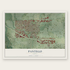
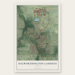
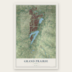
More maps nearby: Kennedale, Forest Hill, Mansfield, Richland Hills and Hurst.
The art of mapping a place
How This Map Was Made
Real places. Remarkable detail. Discover the layers that turn geographic data into a map of home.

The view from above
Aerial imagery reveals the character of the land: woodland, open fields, and the patterns of a place.

The shape of the land
Elevation data brings hills, valleys, and subtle changes in the landscape into view.

The details of home
Roads, waterways, and building footprints come together to make the map feel unmistakably local.

Geography becomes art
Considered color, shading, and typography bring the layers together in a map made for your wall.


Process illustrated with Mendon, Massachusetts. Aerial imagery: USDA NAIP. Terrain: USGS 3D Elevation Program. Map details and finished artwork: KNOWOL.
The Details
About This Print
Choose an archival matte print, or a black or white Ayous wood frame. The archival matte print is unframed.
Select your size and finish above to see the matching product image and price.
Materials & Craftsmanship
A contemporary map with the character of a classic atlas, printed on archival matte paper. Optional frames are made from Ayous wood.
Your printed map does not include the watermark shown in the full-map preview.
Shipping & Delivery
Free shipping within the United States. Every print is made to order in the USA.
Buying a gift? Add a note in your cart and we'll include it. We never put prices in the package.
Prints ship within 2 to 3 business days. Allow 7 to 10 days total from ordering for delivery. Timing may vary during holidays or periods of high order volume.
Read our shipping policy.
Returns and damaged prints
Each print is made to order. Change-of-mind refunds are not available after production.
If your print arrives damaged, misprinted or incorrect, contact support@knowol.com within 30 days of receiving it. Include your order number, photos and a description of the issue.
Read our full refund and replacement policy. For questions about your order, email support@knowol.com.