
Search for another town





Free U.S. delivery 7 to 10 days after you order
Arlington, Washington Map Art
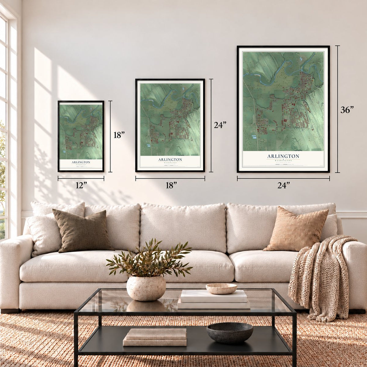
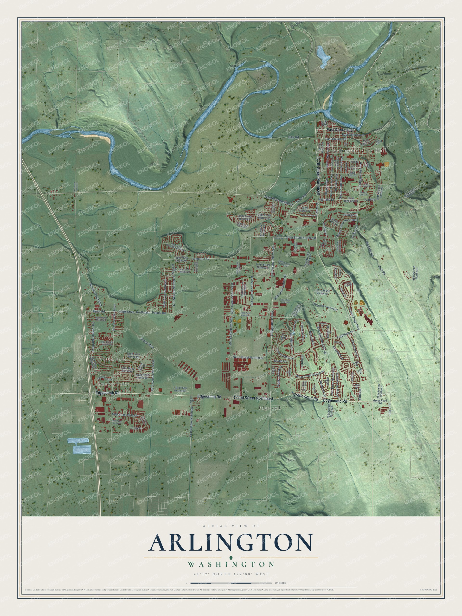
A new map of Arlington, Washington, made in 2026 and printed to order on thick archival matte paper.
12" x 18" Archival Matte Print
A Map of Home. A Work of Art.
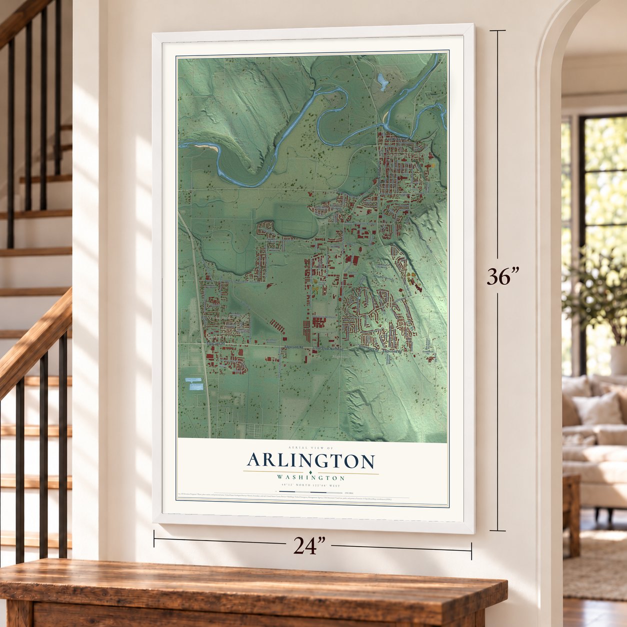
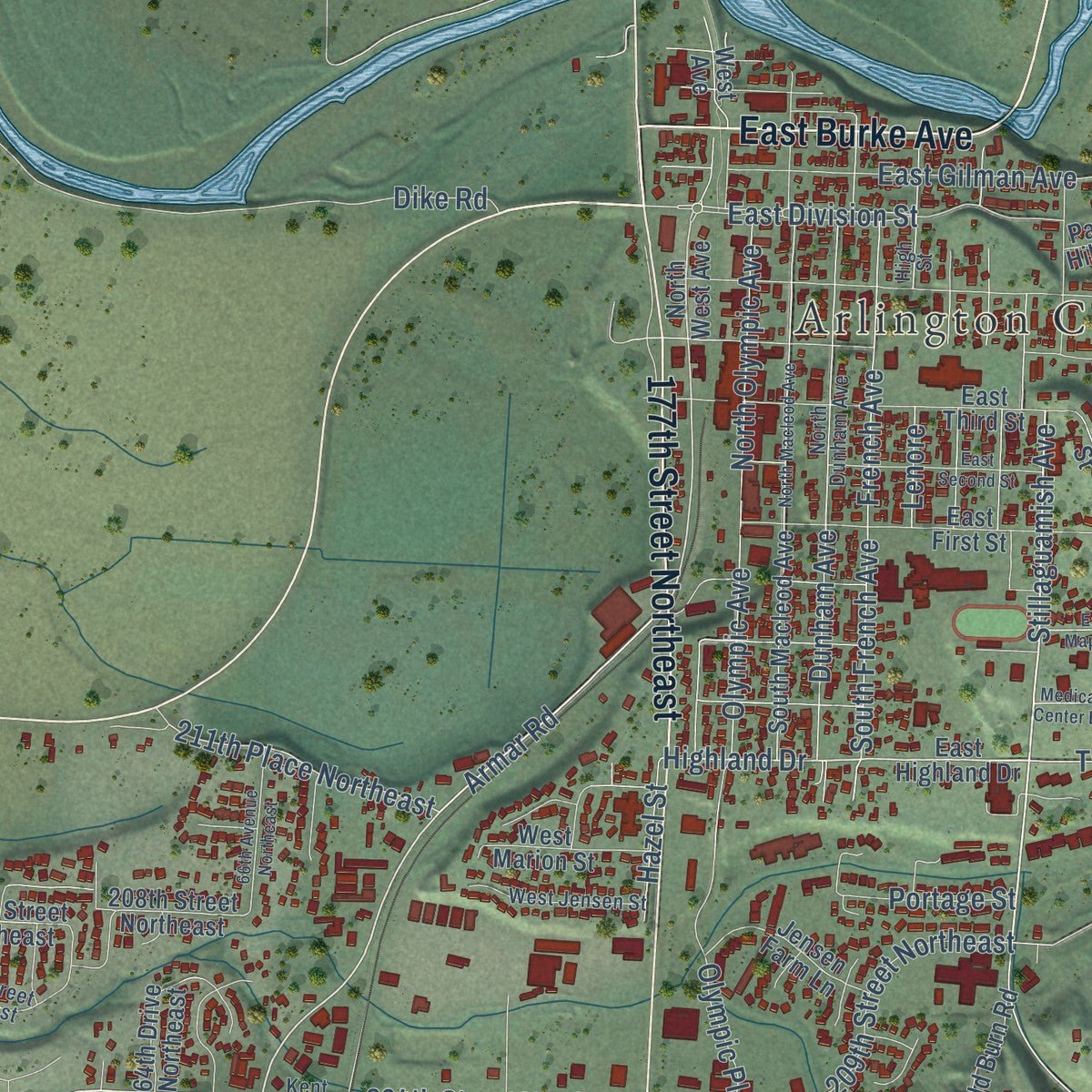
Explore Arlington, Washington from a whole new perspective. Created using aerial imagery and detailed geographic data, this map captures Arlington building by building, with labeled streets, familiar landmarks, and shaded topographical relief that highlights the natural contours of the landscape.
Combining modern data with the timeless character of a vintage atlas, this map is just as interesting up close as it is beautiful on the wall. Whether you grew up in Arlington, spent memorable years there, or call it home today, this unique map is a great way to celebrate a place that means something to you. Zoom in on the preview to look for your street, and then order a print to put your memories on the wall.
Three ways to hang it
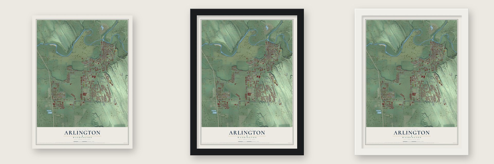
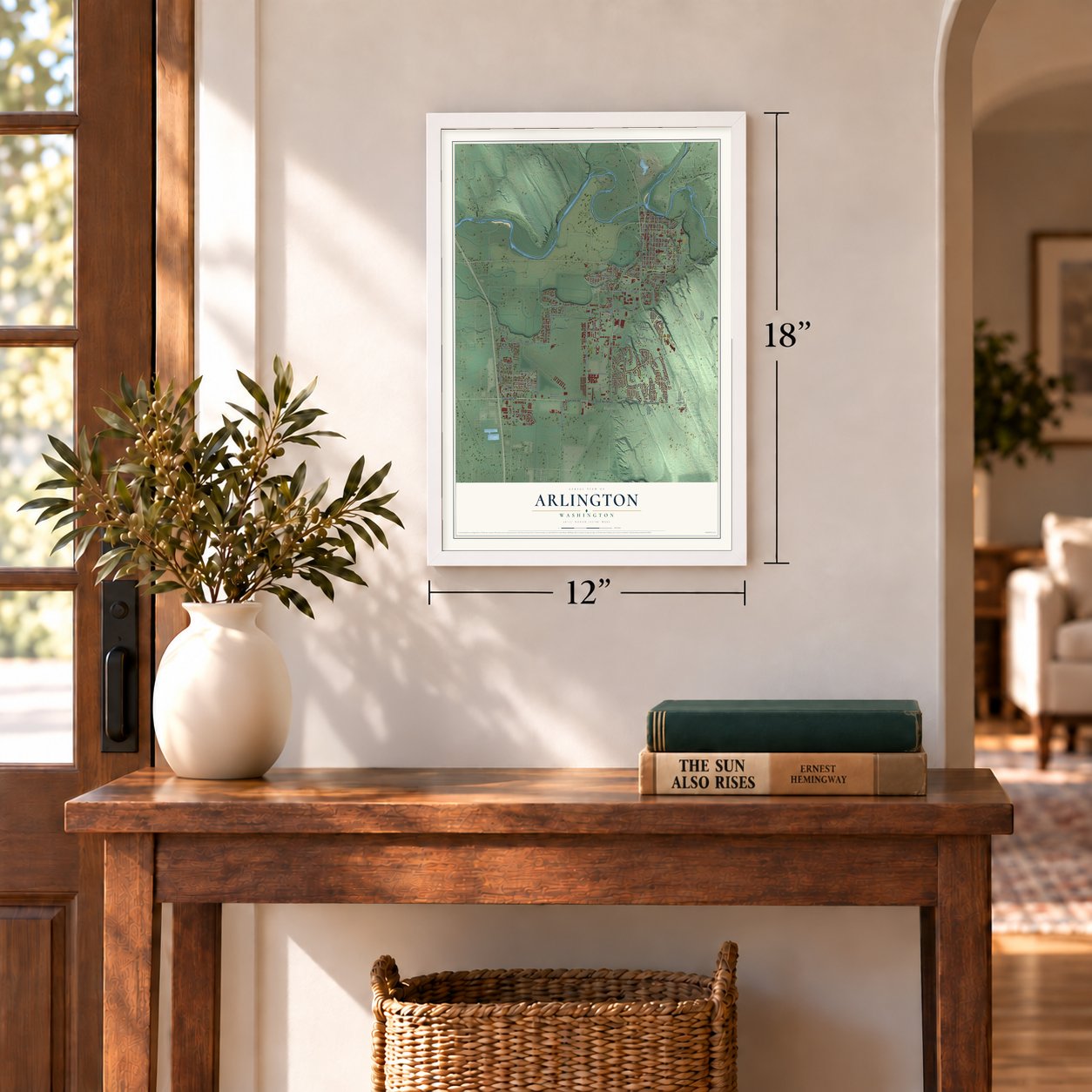
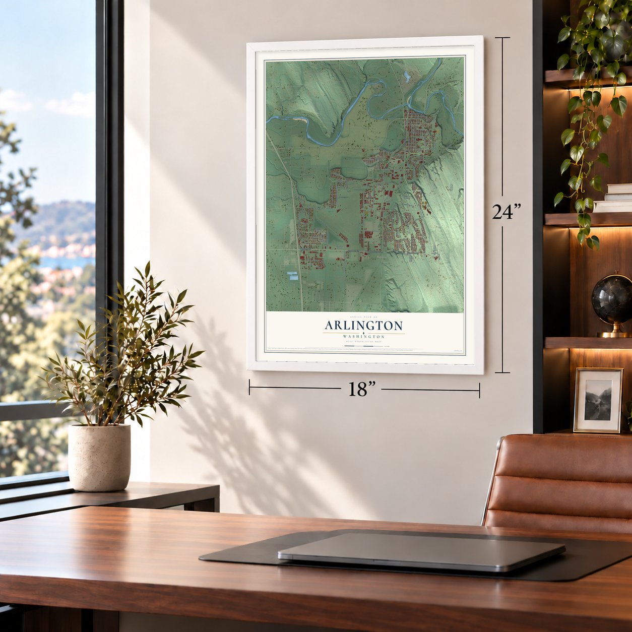
Unframed archival matte, a black wood frame or a white wood frame.
Up close
Geography Worth Displaying
This map was created using accurate cartographic data and authoritative geographic sources, including the U.S. Geological Survey and the Census Bureau. The map brings together terrain, waterways, roads, and building detail. The majority of the streets are labeled, houses are accurately depicted, and the topography is derived from government sources. Combining local data with carefully composed color and shading leads to this beautifully detailed Arlington artwork for your wall.
Rather than simply showing street outlines, we’ve included as many of the street names as we could reasonably fit on the map while keeping their names legible. Zoom in on the high resolution preview to see exactly what’s on the map. We truly set out to create a statement piece for anyone who loves Arlington. So whether it’s for you, or a gift for someone you love, we hope this map of Arlington brings back fond memories.
Read the story behind this map of Arlington, Washington from 2026.
About Arlington, Washington
Arlington is a city of 19,868 people in Snohomish County, at the forks of the Stillaguamish River. The Stillaguamish people called the spot Skabalko, and travelers on the river camped here as they followed the fish runs. The first store at the forks opened in the spring of 1887, run by two partners, Nels K. Tvete and Nils C. Johnson. In 1890 two rival towns were platted a half mile apart. Arlington came first, and Haller City followed on April 24. When the railroad arrived that June, it put its depot on Arlington's higher ground, because Haller City sat too low on the riverbank.
Haller City slowly lost the contest. Merchant C. C. Brown moved his general store up to Arlington in 1894, the same year Haller City lost its post office. By 1895 its businessmen agreed they would do better on the hill, and Tvete and Johnson used an ox team to pull their own store building up to a 4th Street lot. In a vote on May 5, 1903, 134 of 173 voters chose to incorporate, and the two towns became one city named Arlington, with shingle mill owner J. M. Smith as mayor. Division Street, the old line between them, soon became the last sign of Haller City.
- Named for Lord ArlingtonContractors Earl & McLeod founded the town at the railroad depot on March 15, 1890. They named it for Lord Henry Arlington, who served in the cabinet of England's King Charles II. The first nine blocks had streets named for men in the railroad's construction crew.
- Tallest flagstaff at the fairArlington sent a tree 200 feet tall to the World's Fair in Chicago. It stood as the tallest flagstaff at the fair, and the town took great pride in it.
- An airport carved from forestWith money from the Civil Works Administration, the Arlington Commercial Club leased 200 acres of M. Birckenmeier's forest in February 1934. Workers cleared and paved with asphalt a strip 4,000 feet long and 400 feet wide. The Navy leased the field in 1940, and during World War II it served as a naval auxiliary air station with two squadrons. It returned to civilian use after the war, and the city took back formal ownership in 1959.
- Outhouses from the WPAMill closures in the 1930s left many people out of work, and the WPA found jobs for them. Besides building sidewalks and working on the high school, its crews built outhouses for farms. Jack Gardner visited farmers to talk them into buying one for better sanitation, then saw each one installed with a cement floor and a cement stool.
- Center of the Oso responseOn March 22, 2014, a huge landslide near Oso blocked the North Fork of the Stillaguamish, killing 43 people and destroying nearly 50 structures. With State Route 530 closed and Darrington cut off, Arlington became the hub of the emergency response. The city was praised for helping the victims, and President Barack Obama came to Arlington that April when he visited the site.
Find your street
Names on the Arlington map
Every name below is printed on this map. Look for your street, your school, the park where you played, or the pond down the road.
Places and landmarks4
- Arlington City Hall
- Smokey Point
- Totem Park
- Edgecomb
Streets and roads144
- 172nd Street Northeast
- Edgecomb Road
- Greenwood Road
- 177th Street Northeast
- East Burke Avenue
- 67th Avenue Northeast
- Stillaguamish Highway
- 204th Street Northeast
- Cemetery Road
- Stillaguamish Avenue
- Armar Road
- Burn Hill Road
- 211th Place Northeast
- South French Avenue
- 83rd Drive
- East Division Street
- Highland Drive
- 47th Avenue Northeast
- 165th Place
- Eaglefield Drive
- Hurn Road
- Smokey Point Boulevard
- 188th Street Northeast
- 59th Avenue Northeast
- 51st Avenue Northeast
- Bjorn Road
- Pecnik Road
- 59th Drive Northeast
- Crown Ridge Boulevard
- East Gilman Avenue
Show all 144 streets
- Airport Boulevard
- Burn Road
- 63rd Avenue Northeast
- Tveit Road
- Olympic Avenue
- Dunham Avenue
- French Avenue
- 180th Street Northeast
- East Country Club Drive
- West Country Club Drive
- 209th Street Northeast
- 85th Avenue
- 45th Drive Northeast
- 79th Drive Northeast
- Woodbine Drive
- 43rd Avenue Northeast
- Highland View Drive
- Olympic Place
- 31st Avenue Northeast
- North Olympic Avenue
- Hawksview Drive
- Vista Drive
- 68th Drive Northeast
- Newport Drive
- Champions Drive
- Greywalls Drive
- Redhawk Drive
- Knoll Drive
- Portage Street
- Oxford Drive
- Hazel Street
- Dike Road
- Bovee Lane
- Lenore
- East Highland Drive
- 179th Place Northeast
- 179th Place
- North West Avenue
- 80th Drive Northeast
- Totem Park Lane
- 175th Street
- 79th Avenue Northeast
- 208th Street Northeast
- 176th Place Northeast
- 198th Place Northeast
- Reinseth Road
- 175th Place Northeast
- 168th Street Northeast
- East First Street
- East Third Street
- Cedarbough Loop
- 190th Place Northeast
- 74th Avenue Northeast
- 62nd Avenue Northeast
- 89th Avenue Northeast
- 173rd Place Northeast
- 207th Street Northeast
- 35th Avenue Northeast
- 192nd Place Northeast
- 87th Avenue Northeast
- South Macleod Avenue
- Old Burn Road
- 178th Place
- Jensen Farm Lane
- West Avenue
- 64th Drive Northeast
- 197th Street Northeast
- West Marion Street
- 31st Drive Northeast
- 71st Drive Northeast
- 95th Avenue Northeast
- Osprey Road
- Ballantrae Drive
- Noble Drive
- Park Hill Drive
- Topper Court
- Third Street
- Kent Prairie Road
- 80th Avenue Northeast
- High Clover Boulevard Northeast
- 199th Street Northeast
- Smokey Point Drive
- North Dunham Avenue
- East Fifth Street
- Shoulets Road
- 196th Place Northeast
- 186th Place Northeast
- 60th Avenue Northeast
- Valley View Drive
- West Jensen Street
- Whitehawk Drive
- 92nd Avenue Northeast
- 51st Drive Northeast
- 206th Street Northeast
- 182nd Street Northeast
- Ironwood Street
- 73rd Drive Northeast
- Carlisle Place
- Hillside Court
- High Street
- East Maple Street
- 166th Place Northeast
- Inverness Drive
- 189th Place Northeast
- North Macleod Avenue
- 66th Avenue Northeast
- East Second Street
- 191st Place Northeast
- 71st Avenue Northeast
- 41st Drive Northeast
- Medical Center Drive
- 77th Avenue Northeast
- 27th Avenue Northeast
- Peak Place
Names are listed as they appear on the printed map. Zoom into the product photos to find them.
The art of mapping a place
How This Map Was Made
Real places. Remarkable detail. Discover the layers that turn geographic data into a map of home.

The view from above
Aerial imagery reveals the character of the land: woodland, open fields, and the patterns of a place.

The shape of the land
Elevation data brings hills, valleys, and subtle changes in the landscape into view.

The details of home
Roads, waterways, and building footprints come together to make the map feel unmistakably local.

Geography becomes art
Considered color, shading, and typography bring the layers together in a map made for your wall.


Process illustrated with Mendon, Massachusetts. Aerial imagery: USDA NAIP. Terrain: USGS 3D Elevation Program. Map details and finished artwork: KNOWOL.
The Details
About This Print
Choose an archival matte print, or a black or white Ayous wood frame. The archival matte print is unframed.
Select your size and finish above to see the matching product image and price.
Materials & Craftsmanship
A contemporary map with the character of a classic atlas, printed on archival matte paper. Optional frames are made from Ayous wood.
Your printed map does not include the watermark shown in the full-map preview.
Shipping & Delivery
Free shipping within the United States. Every print is made to order in the USA.
Buying a gift? Add a note in your cart and we'll include it. We never put prices in the package.
Prints ship within 2 to 3 business days. Allow 7 to 10 days total from ordering for delivery. Timing may vary during holidays or periods of high order volume.
Read our shipping policy.
Returns and damaged prints
Each print is made to order. Change-of-mind refunds are not available after production.
If your print arrives damaged, misprinted or incorrect, contact support@knowol.com within 30 days of receiving it. Include your order number, photos and a description of the issue.
Read our full refund and replacement policy. For questions about your order, email support@knowol.com.
Find your town
Looking for another city?
Find a map of home in our Washington collection, or any town in the country.
Nearby
Maps of towns near Arlington
Know someone from one of these towns? Their map makes a great gift.
 Sisco Heights
, Washington
From $39.99See the map
 Arlington Heights
, Washington
From $39.99See the map
 Silvana
, Washington
From $39.99See the map
More maps nearby: Bryant, Marysville, Lake Goodwin, Sunday Lake and Lake Cassidy.