
Search for another town


Free U.S. delivery 7 to 10 days after you order
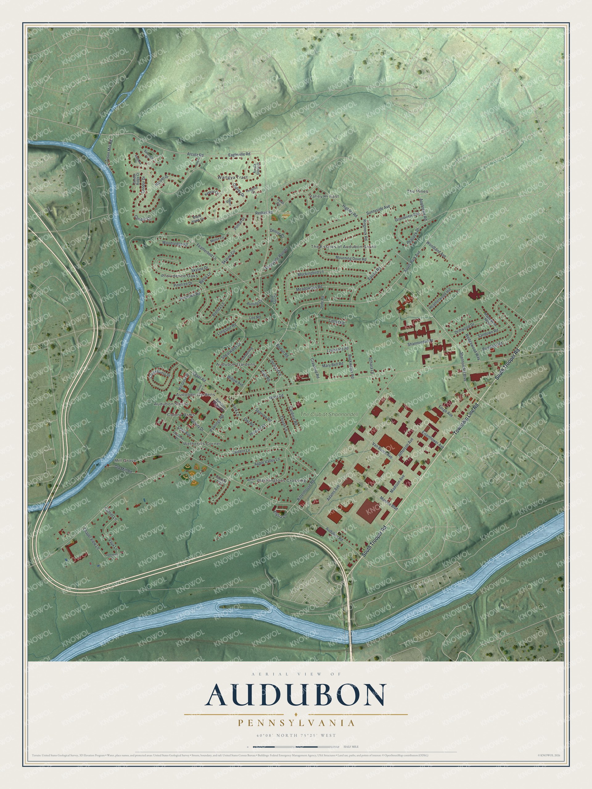
Audubon, Pennsylvania Map Art
Building by building, with labeled streets and shaded relief.
12" x 18" Archival Matte Print
A Map of Home. A Work of Art.
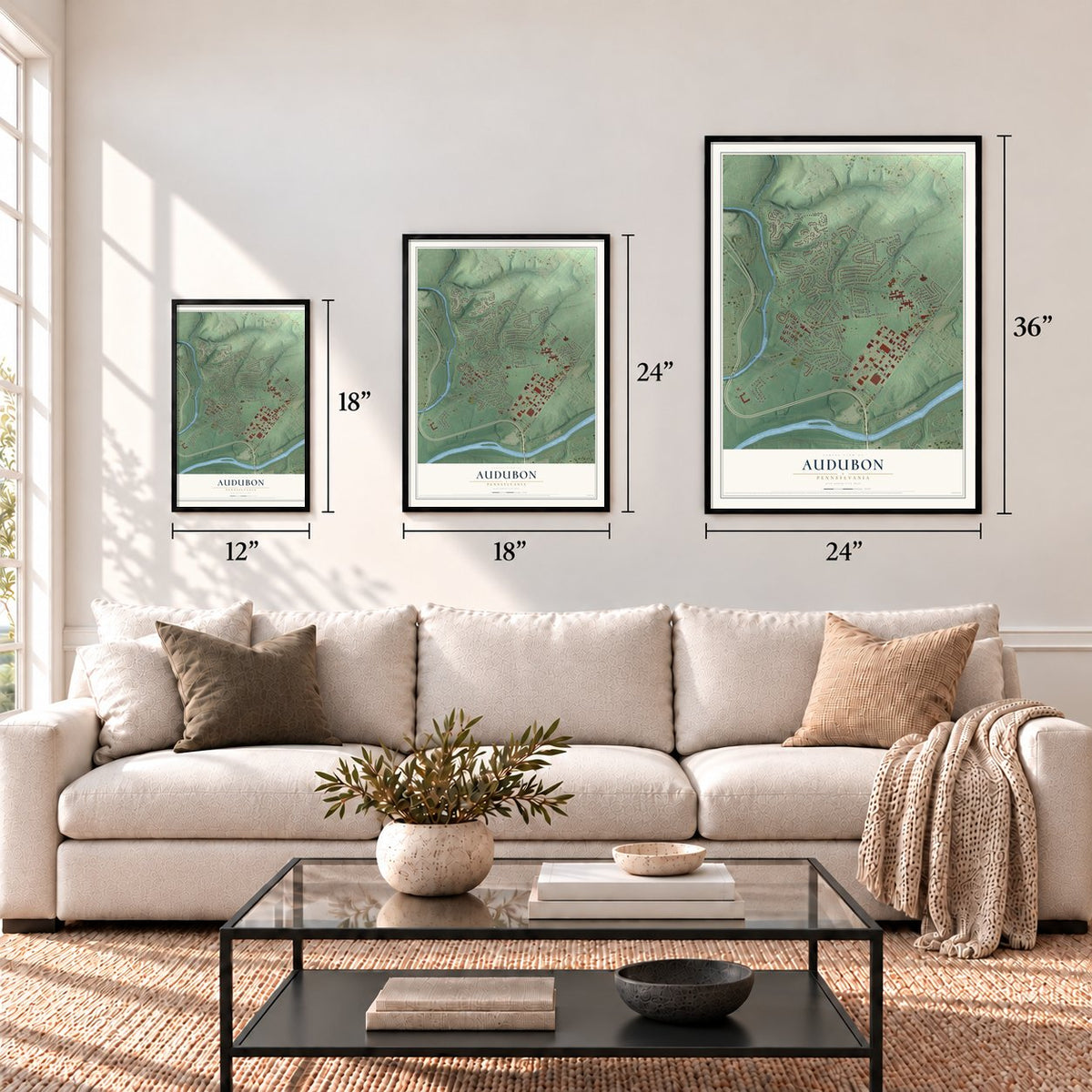
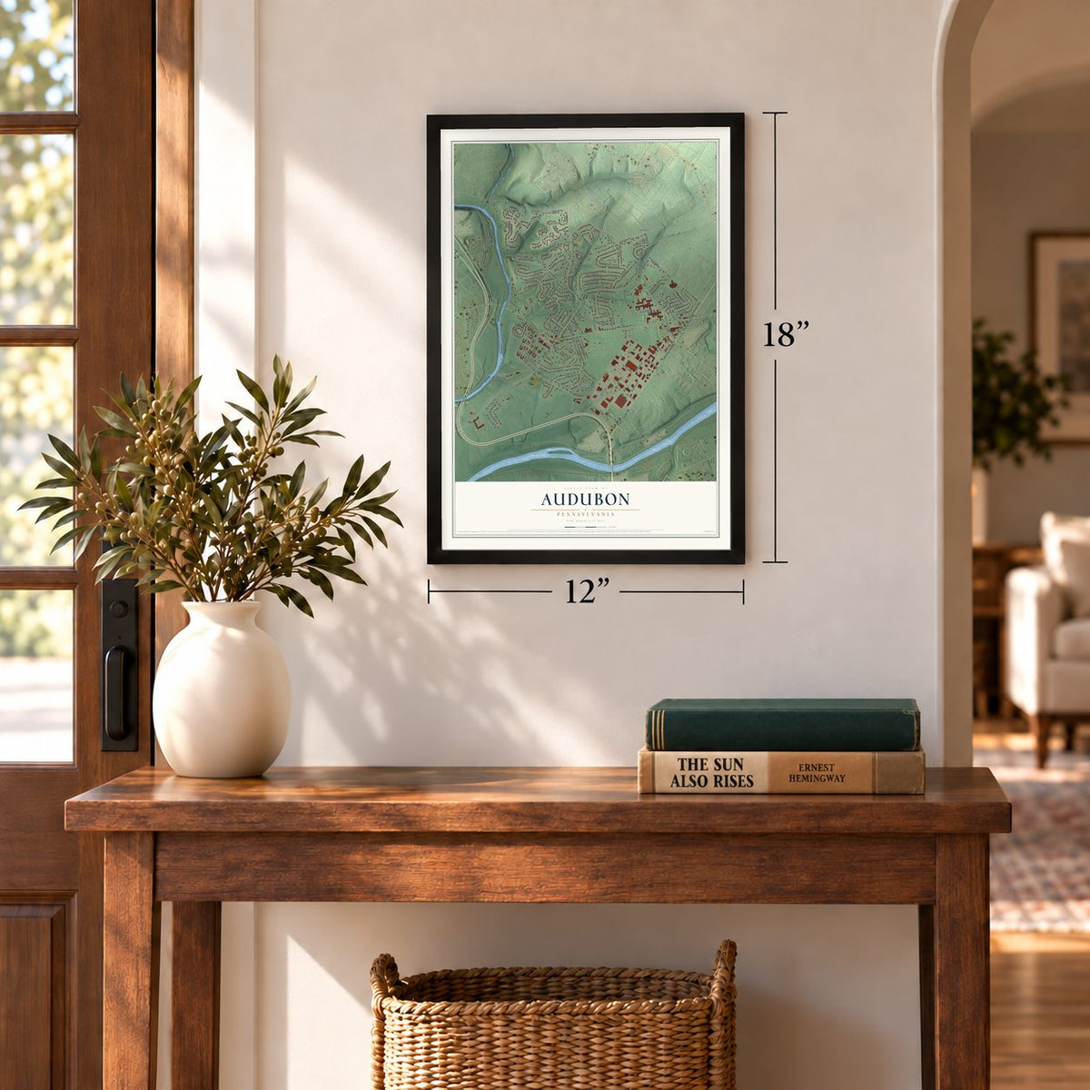
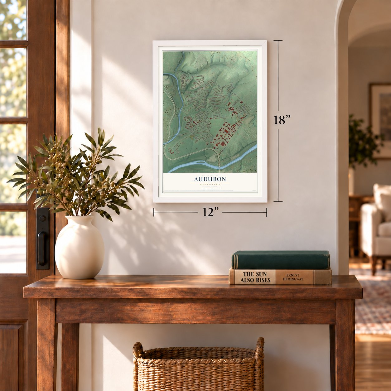
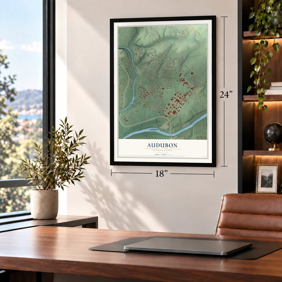
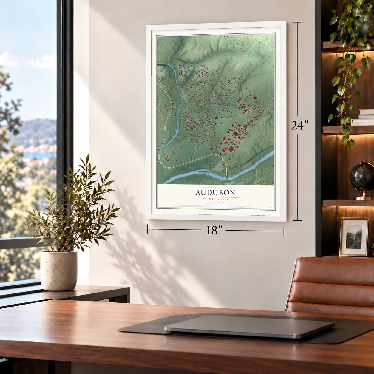
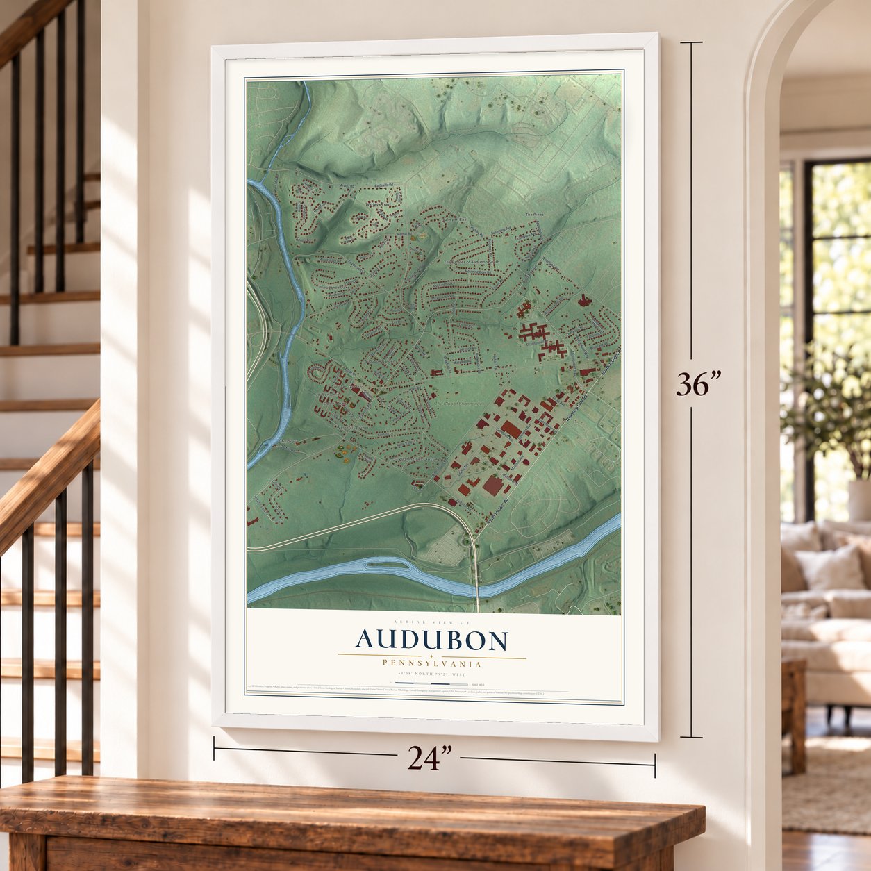
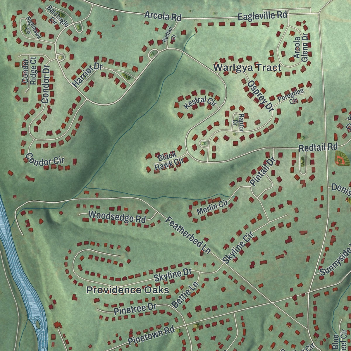
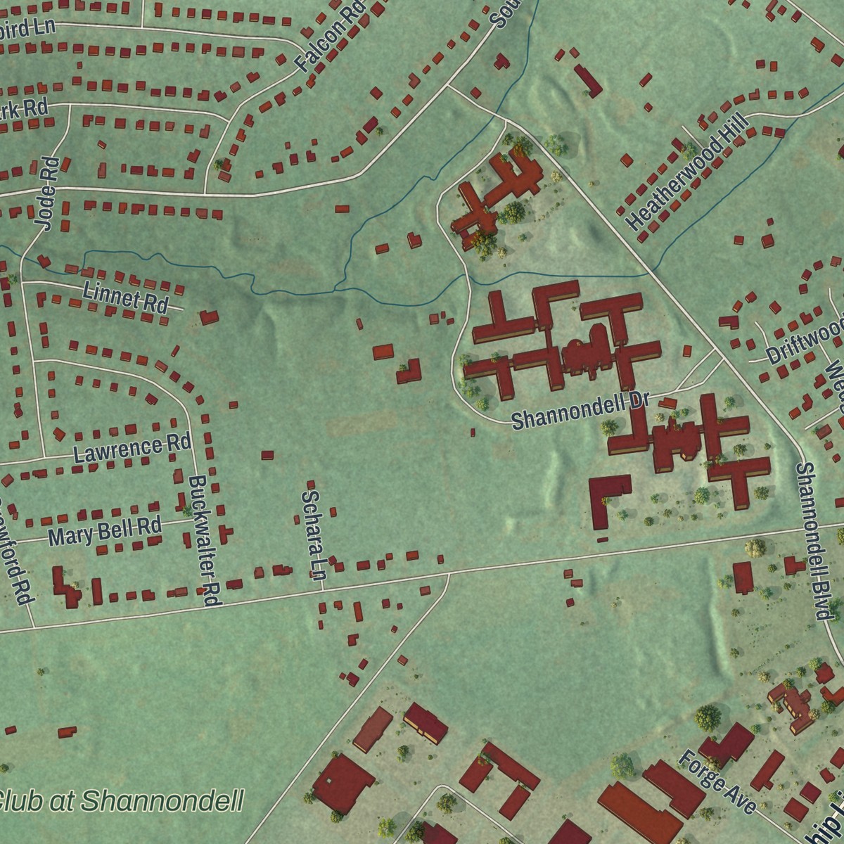
Explore Audubon, Pennsylvania from a whole new perspective. Created using aerial imagery and detailed geographic data, this map captures Audubon building by building, with labeled streets, familiar landmarks, and shaded topographical relief that highlights the natural contours of the landscape.
Combining modern data with the timeless character of a vintage atlas, this map is just as interesting up close as it is beautiful on the wall. Whether you grew up in Audubon, spent memorable years there, or call it home today, this unique map is a great way to celebrate a place that means something to you. Zoom in on the preview to look for your street, and then order a print to put your memories on the wall.
Three ways to hang it
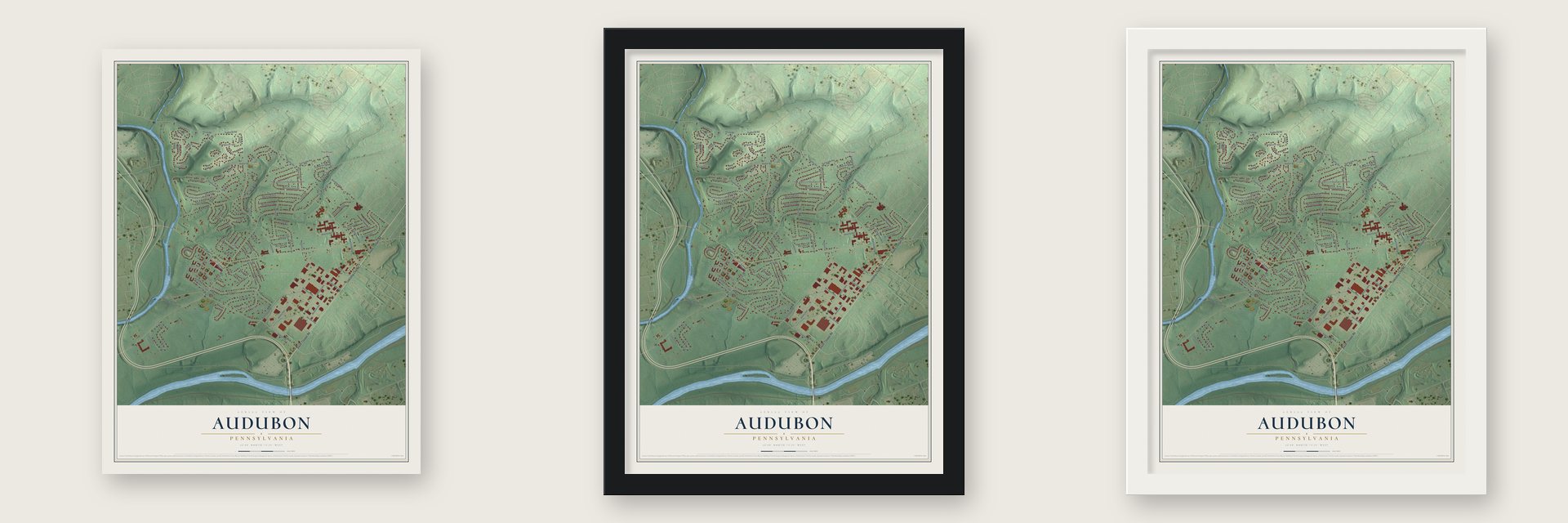
Unframed archival matte, a black wood frame or a white wood frame.
Up close
Geography Worth Displaying
This map was created using accurate cartographic data and authoritative geographic sources, including the U.S. Geological Survey and the Census Bureau. The map brings together terrain, waterways, roads, and building detail. The majority of the streets are labeled, houses are accurately depicted, and the topography is derived from government sources. Combining local data with carefully composed color and shading leads to this beautifully detailed Audubon artwork for your wall.
Rather than simply showing street outlines, we’ve included as many of the street names as we could reasonably fit on the map while keeping their names legible. Zoom in on the high resolution preview to see exactly what’s on the map. We truly set out to create a statement piece for anyone who loves Audubon. So whether it’s for you, or a gift for someone you love, we hope this map of Audubon brings back fond memories.
Read the story behind this map of Audubon, Pennsylvania from 2026.
Find your street
Names on the Audubon map
Every name below is printed on this map. Look for your street, your school, the park where you played, or the pond down the road.
Places and landmarks14
- Redtail Park
- Mill Grove
- Audubon Gardens
- The Pines
- Washingtons Crossing
- Providence Oaks
- Audubon Shrine
- Valley Hi East
- The Estates of Audubon South
- Warlgya Tract
- Wetherills Corner
- Audobon Gardens
Show all 14 places
- Colony Arms
- The Club at Shannondell
Streets and roads104
- Township Line Road
- South Trooper Road
- Shannondell Boulevard
- Orchard Lane
- Culp Road
- Redtail Road
- South Park Avenue
- Audubon Road
- Elysia Lane
- Egypt Road
- Eagleville Road
- Pawlings Road
- Sunnyside Avenue
- Rittenhouse Road
- Arcola Road
- Featherbed Lane
- Pinetown Road
- Woodland Avenue
- Adams Avenue
- Lantern Lane
- Monroe Boulevard
- Mourning Dove Road
- Thrush Lane
- Mockingbird Lane
- Shannondell Drive
- Skyline Drive
- Apple Valley Lane
- Highley Road
- Van Buren Avenue
- Brimfield Road
Show all 104 streets
- Osprey Drive
- Falcon Road
- Brenda Lane
- Madison Avenue
- Jefferson Avenue
- Condor Drive
- Casselberry Drive
- Peacock Drive
- Meadowlark Road
- Jode Road
- Crawford Road
- Buckwalter Road
- Shearwater Drive
- Eisenhower Avenue
- Harrier Drive
- Heatherwood Hill
- Sandown Road
- Sparrow Road
- Appledale Road
- Lee Road
- Vaux Lane
- Old Mill Road
- Grandview Avenue
- Ringneck Road
- Pinetree Drive
- Tyson Mill Road
- Lark Lane
- Pintail Drive
- Lawrence Road
- Driftwood Drive
- Wedgewood Way
- Woodsedge Road
- Cardinal Road
- Mary Bell Road
- Colony Drive
- Skyline Circle
- Chapel View Lane
- Leon Avenue
- Sunnyside Woods
- Linnet Road
- Longspur Road
- Forge Avenue
- Wren Road
- Condor Circle
- Borton Road
- Denise Court
- Bettie Lane
- Willow Avenue
- Camiel Lane
- Schara Lane
- Owl Road
- Audubon Village Drive
- Mill Grove Drive
- Arcola Glenn Drive
- Condor Ridge Court
- Merlin Circle
- Maplewood Mews
- Pheasant Road
- Sanderling Circle
- Blue Teel Circle
- Kestral Circle
- Bunting Circle
- Black Hawk Circle
- Timothy Trail
- Swan Circle
- Baldeagle Circle
- Raptor Drive
- Peregrine Circle
- Valentine Lane
- Nighthawk Circle
- Coppermine Road
- Matlack Drive
- Surrey Lane
- Redtail Court
Names are listed as they appear on the printed map. Zoom into the product photos to find them.
About Audubon, Pennsylvania
Audubon is a community of 8,688 people in Lower Providence Township, Montgomery County, on the peninsula where Perkiomen Creek meets the Schuylkill River. It was first called Shannonville, after Robert Shannon, whose large and influential family gave the village its name when a post office opened in 1823. Shannon did well raising pigs, so the place also picked up the nickname Hogtown.
Lead mines near the creek at Oaks had been worked since 1800 without turning a profit, and copper was found after the lead. The Perkiomen Mining Association formed in January 1848, paid about $10,000 for its land, brought in expensive machinery and dug a shaft. By 1852 the copper mines at Shannonville employed 200 men, but they were abandoned six years later. In 1899 the village took a new name to honor John James Audubon, the naturalist who had lived at Mill Grove as a young man.
- Audubon arrives in 1804In March 1804, Jean Jacques Audubon, soon known as John James, came to Mill Grove at 18, sent to America by his father. He roamed the forested hillsides above the Perkiomen and the Schuylkill watching birds, and by tying bands on phoebes he carried out the first real bird banding experiments in America.
- A wedding and a farewellAt Mill Grove, Audubon met Lucy Bakewell, whose father owned the farm next door, and he came back to marry her in 1808. Quarrels with his partners and a lead mine on the property that failed followed, so he sold Mill Grove and headed to Kentucky to try his luck as a merchant.
- Mill Grove, built in 1762The stone farmhouse at Audubon and Pawlings Roads, built in 1762, is on the National Register as Audubon's first American home. Samuel Wetherill 3rd of Philadelphia bought it in 1813; his family kept it 138 years, until Herbert J. Wetherill sold it to Montgomery County in 1951. In April 2003 the county and the National Audubon Society agreed to make it the Mill Grove Audubon Center: 175 acres, over 7 miles of trails and a museum of original Audubon prints.
- Feeding Valley ForgeDuring the Valley Forge winter of 1777 to 1778, the Pawling Farm on the Perkiomen Peninsula helped guard the camp and held the army's new commissary, which kept the Continental soldiers from starving. Troops camped there before they marched on to win at Monmouth. A rebuilt stone wall on Apple Valley Lane comes from one of the buildings where soldiers stayed that winter.
Keep exploring Pennsylvania
Audubon is one of 3,725 Pennsylvania towns we've mapped. Every dot on the map is a print of its own.
The search covers every state, Pennsylvania first.
Near Audubon
Order 2 or more town maps and save 10%. Shown in the size and finish you picked above, so they hang as a set.
- Lower Providence 12" x 18" / Archival Matte Print $39.99
- Oaks 12" x 18" / Archival Matte Print $39.99
- Trooper 12" x 18" / Archival Matte Print $39.99
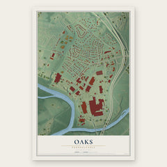
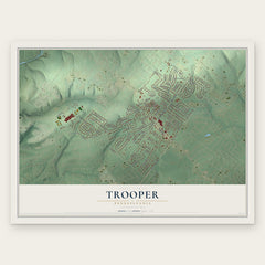
More maps nearby: Arcola, Eagleville, West Norriton, Valley Forge and King of Prussia.
The art of mapping a place
How This Map Was Made
Real places. Remarkable detail. Discover the layers that turn geographic data into a map of home.

The view from above
Aerial imagery reveals the character of the land: woodland, open fields, and the patterns of a place.

The shape of the land
Elevation data brings hills, valleys, and subtle changes in the landscape into view.

The details of home
Roads, waterways, and building footprints come together to make the map feel unmistakably local.

Geography becomes art
Considered color, shading, and typography bring the layers together in a map made for your wall.


Process illustrated with Mendon, Massachusetts. Aerial imagery: USDA NAIP. Terrain: USGS 3D Elevation Program. Map details and finished artwork: KNOWOL.
The Details
About This Print
Choose an archival matte print, or a black or white Ayous wood frame. The archival matte print is unframed.
Select your size and finish above to see the matching product image and price.
Materials & Craftsmanship
A contemporary map with the character of a classic atlas, printed on archival matte paper. Optional frames are made from Ayous wood.
Your printed map does not include the watermark shown in the full-map preview.
Shipping & Delivery
Free shipping within the United States. Every print is made to order in the USA.
Buying a gift? Add a note in your cart and we'll include it. We never put prices in the package.
Prints ship within 2 to 3 business days. Allow 7 to 10 days total from ordering for delivery. Timing may vary during holidays or periods of high order volume.
Read our shipping policy.
Returns and damaged prints
Each print is made to order. Change-of-mind refunds are not available after production.
If your print arrives damaged, misprinted or incorrect, contact support@knowol.com within 30 days of receiving it. Include your order number, photos and a description of the issue.
Read our full refund and replacement policy. For questions about your order, email support@knowol.com.