
Search for another town

Free U.S. delivery 7 to 10 days after you order
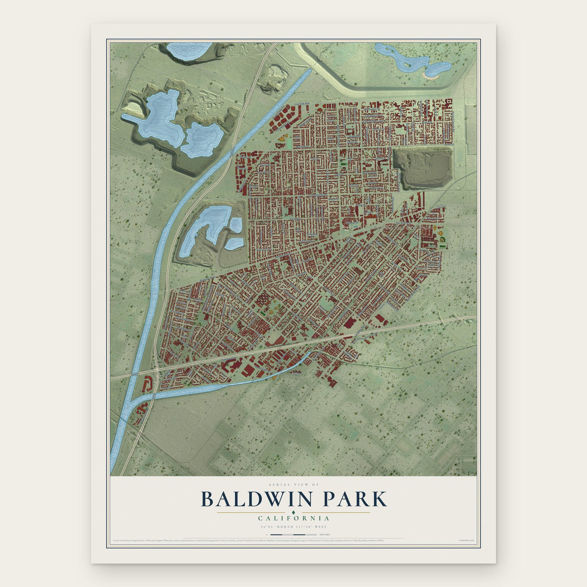
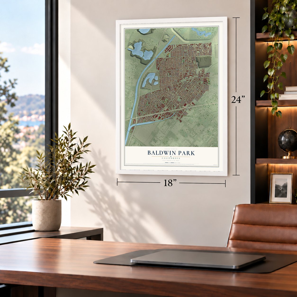
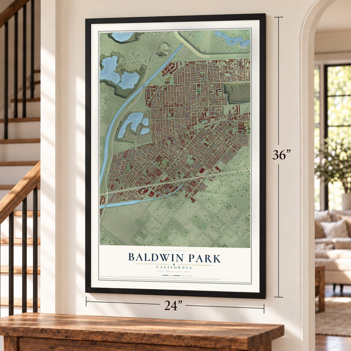
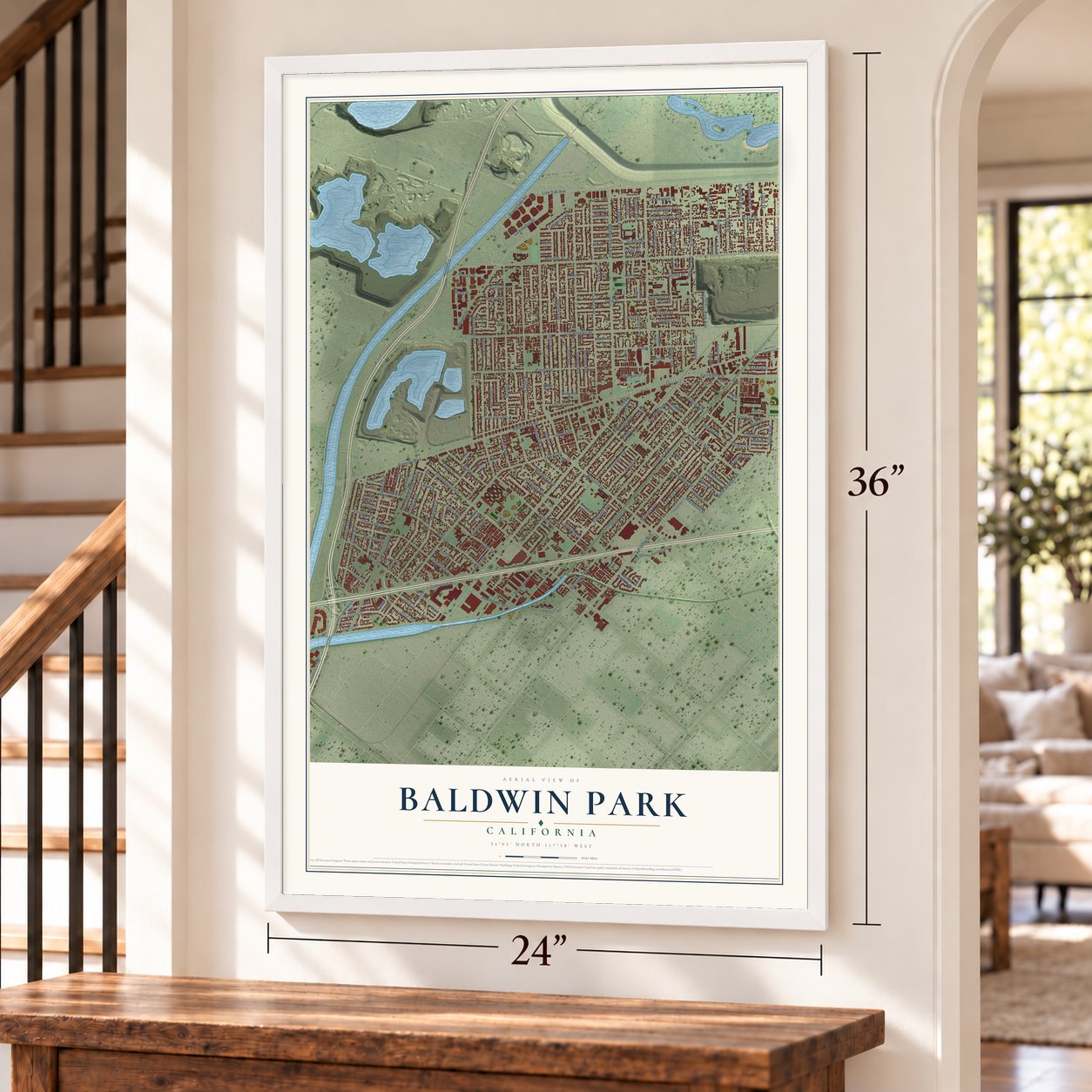
Baldwin Park, California Map Art
Building by building, with labeled streets and shaded relief.
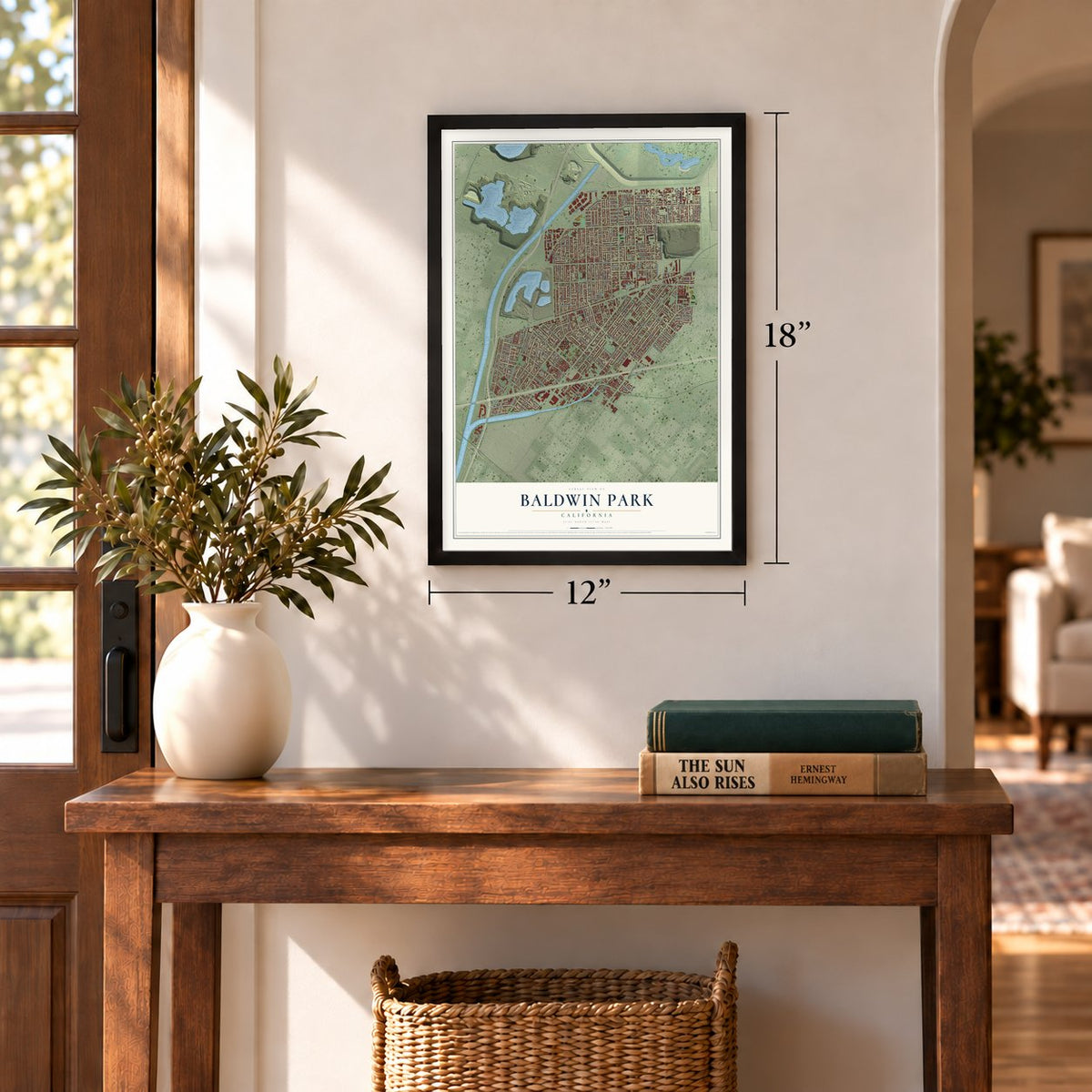
12" x 18" Archival Matte Print
A Map of Home. A Work of Art.
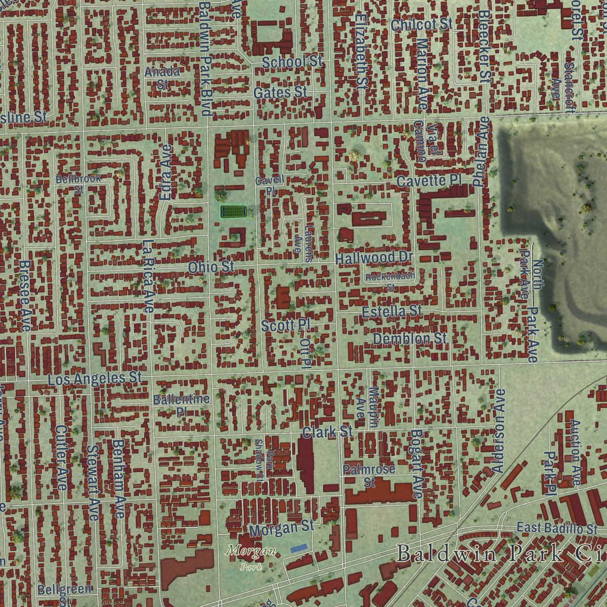
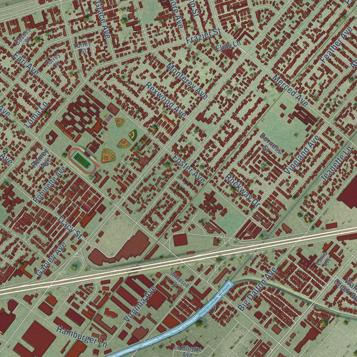
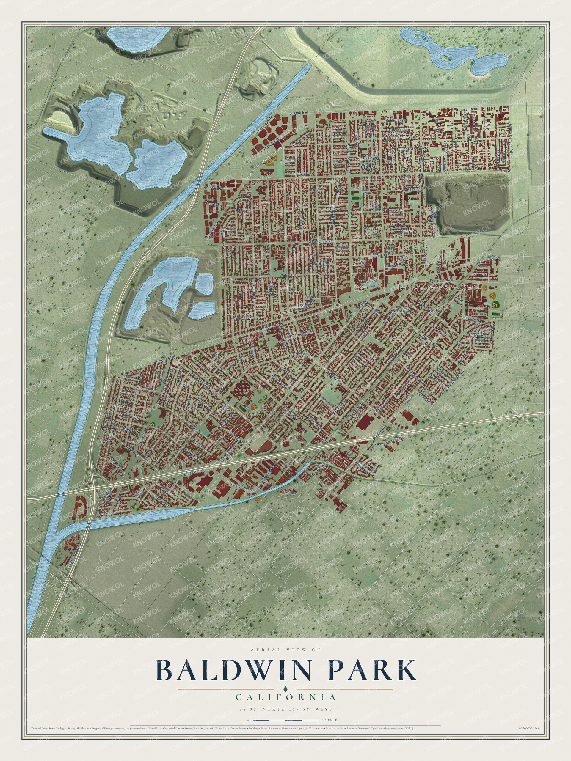
Explore Baldwin Park, California from a whole new perspective. Created using aerial imagery and detailed geographic data, this map captures Baldwin Park building by building, with labeled streets, familiar landmarks, and shaded topographical relief that highlights the natural contours of the landscape.
Combining modern data with the timeless character of a vintage atlas, this map is just as interesting up close as it is beautiful on the wall. Whether you grew up in Baldwin Park, spent memorable years there, or call it home today, this unique map is a great way to celebrate a place that means something to you. Zoom in on the preview to look for your street, and then order a print to put your memories on the wall.
Three ways to hang it
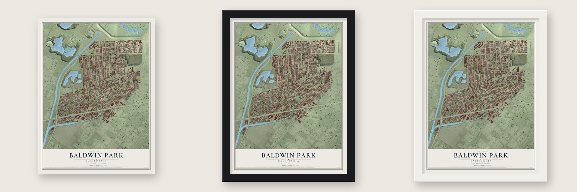
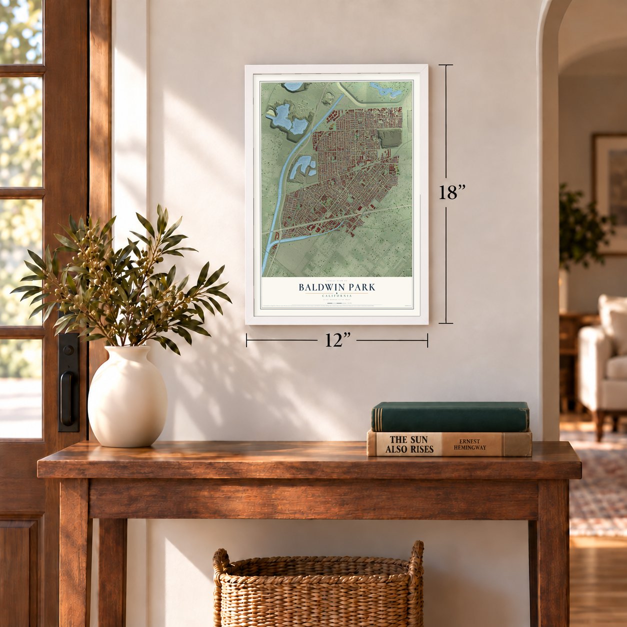
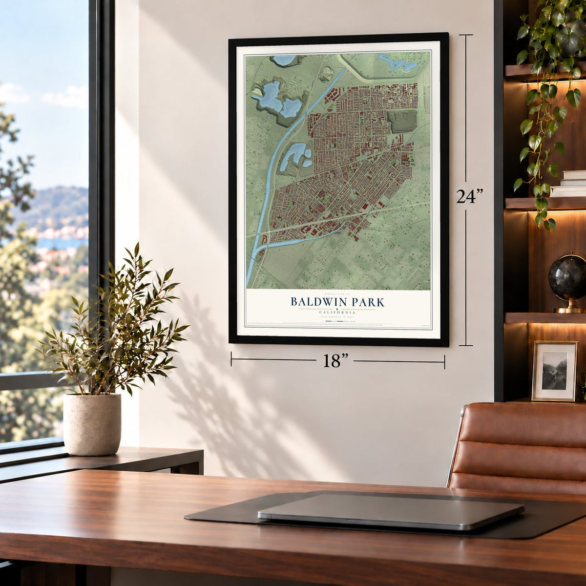
Unframed archival matte, a black wood frame or a white wood frame.
Up close
Geography Worth Displaying
This map was created using accurate cartographic data and authoritative geographic sources, including the U.S. Geological Survey and the Census Bureau. The map brings together terrain, waterways, roads, and building detail. The majority of the streets are labeled, houses are accurately depicted, and the topography is derived from government sources. Combining local data with carefully composed color and shading leads to this beautifully detailed Baldwin Park artwork for your wall.
Rather than simply showing street outlines, we’ve included as many of the street names as we could reasonably fit on the map while keeping their names legible. Zoom in on the high resolution preview to see exactly what’s on the map. We truly set out to create a statement piece for anyone who loves Baldwin Park. So whether it’s for you, or a gift for someone you love, we hope this map of Baldwin Park brings back fond memories.
Read the story behind this map of Baldwin Park, California from 2026.
Find your street
Names on the Baldwin Park map
Every name below is printed on this map. Look for your street, your school, the park where you played, or the pond down the road.
Places and landmarks2
- Baldwin Park City Hall
- Morgan Park
Streets and roads196
- Baldwin Park Boulevard
- Merced Avenue
- North Ardilla Avenue
- Francisquito Avenue
- Garvey Avenue
- Amar Road
- Ramona Parkway
- Cloverleaf Drive
- Channing Street
- Live Oak Avenue
- Ramona Boulevard
- Dalewood Street
- San Gabriel River Parkway
- Maine Avenue
- Puente Avenue
- Vineland Avenue
- Olive Street
- Big Dalton Avenue
- Frazier Street
- Stewart Avenue
- Los Angeles Street
- Bresee Avenue
- La Rica Avenue
- Nubia Street
- Athol Street
- Downing Avenue
- Center Street
- Bogart Avenue
- Monterey Avenue
- Walnut Street
Show all 196 streets
- Cutler Avenue
- Stichman Avenue
- Jerry Avenue
- Palm Avenue
- Harlan Avenue
- Landis Avenue
- Foster Avenue
- Paddy Lane
- Kenmore Avenue
- Pacific Avenue
- Hornbrook Avenue
- Syracuse Avenue
- Clark Street
- Waco Street
- Bess Avenue
- Benham Avenue
- Fairgrove Street
- Millbury Avenue
- Patritti Avenue
- Joanbridge Street
- Mangum Street
- Elton Street
- Cosbey Avenue
- Corak Street
- Barnes Avenue
- La Sena Avenue
- Ohio Street
- Filhurst Avenue
- Ahern Drive
- Central Avenue
- Grace Avenue
- Feather Avenue
- Rexwood Avenue
- Phelan Avenue
- Benbow Street
- Commerce Drive
- Azusa Canyon Road
- Masline Street
- Lante Street
- Bleecker Street
- Earl Avenue
- Littlejohn Street
- Tracy Street
- Virginia Avenue
- Alderson Avenue
- Ledford Street
- Macdevitt Street
- Morgan Street
- Van Wig Avenue
- Demblon Street
- Finchley Street
- Willow Avenue
- Larry Avenue
- Chilcot Street
- Lubican Street
- Park Avenue
- Jeremie Street
- Rockway Drive
- Wimmer Avenue
- Dunia Street
- Judith Street
- Hamburger Lane
- Rivergrade Road
- Calmview Avenue
- Farnell Street
- Sierra Way
- Estella Street
- Cavette Place
- Root Street
- Gayhurst Avenue
- Edra Avenue
- Torch Street
- Mayland Avenue
- Marion Avenue
- Illinois Street
- Borel Street
- East Baldwin Avenue
- Fortin Street
- California Avenue
- Heintz Street
- Idaho Street
- Elizabeth Street
- Chelsfield Street
- Anniston Avenue
- Clearcrest Drive
- Loma Lane
- Waltham Street
- Emery Avenue
- Chetney Drive
- Jeanette Lane
- Kenoak Drive
- Dart Street
- Dutch Lane
- Brooks Drive
- Hallwood Drive
- School Street
- Gates Street
- Scott Place
- Egil Avenue
- Park Place
- Spring Street
- Walnut Creek Parkway
- East Badillo Street
- Westcott Avenue
- Robinette Avenue
- Anada Street
- Elwyn Drive
- West Garvey Avenue South
- Clydewood Street
- Maupin Avenue
- Chevalier Avenue
- Salisbury Street
- Calais Street
- North Park Avenue
- Cleo Street
- Valle Vista Avenue
- Durness Street
- Bellgreen Street
- Ballentine Place
- Via el Camino
- Royston Street
- Rhodes Lane
- Leorita Street
- Palmrose Street
- Cleary Drive
- Auction Avenue
- Summer Lane
- Swanee Lane
- Aukland Street
- Sterling Way
- Matlock Avenue
- Stancroft Avenue
- Nolina Avenue
- Remey Avenue
- Elias Lane
- Ott Place
- Dexter Street
- Belgate Street
- Sandstone Street
- Howellhurst Drive
- Torrey Circle
- Bellbrook Street
- Laurens Avenue
- Blenheim Street
- Le Borgne Avenue
- Nolina Street
- Cosbey Street
- Torrey Street
- Duthie Street
- Adams Drive
- Siesta Avenue
- Shaver Street
- Big Dalton
- Cavell Place
- Adoue Place
- West San Bernardino Road
- Rockenbach Street
- Park Shadow Court
- Stockdale Street
- Cragmont Street
- Whitesell Street
- Hensel Street
- North Puente Avenue
- Navilla Place
- Calino Avenue
- Pinhiero Place
Names are listed as they appear on the printed map. Zoom into the product photos to find them.
About Baldwin Park, California
Baldwin Park is a city of 72,176 people in the central San Gabriel Valley of Los Angeles County. Its land was first cattle range for the San Gabriel Mission, and it later fell within two ranchos, Rancho Azusa de Dalton and Rancho La Puente. Settlers knew the community as Vineland from 1860, and by 1906 it had taken the name Baldwin Park, after Elias J. "Lucky" Baldwin.
In 1884 the settlers built their first schoolhouse where North Maine and Los Angeles Avenues cross, on the southeast corner, and Mr. Frazier taught there. County records show the Vineland School District was set up in April 1888. The community stayed unincorporated until 1956, when Baldwin Park became the 47th incorporated city in California.
- The first In-N-Out, 1948The first In-N-Out burger stand opened in Baldwin Park on October 22, 1948, and it was the first drive-thru in California. A new building replaced it in November 2004. The company kept its roots here: In-N-Out University and a company store opened on Francisquito Avenue in 2006, and its first meatpacking plant sits near headquarters on Hamburger Lane.
- A schoolhouse lost in 1936The district's first trustees took office on July 1, 1888, and hired Miss Jessie Washburn to teach that fall. In 1890 the first schoolhouse was sold and moved off to serve as a home. Miss Venna O. Finney and Miss Ellen Lang taught in its two-room replacement, which also hosted every public gathering. It closed in 1912, later housed a private Japanese school, and burned on September 5, 1936.
- Vias Turkey RanchIn the 1950s the Vias Turkey Ranch, a large commercial operation off Frazier Avenue, was known across the Valley for its big outdoor aviary of unusual birds, and it kept two or three kinds of deer. When land values rose, the owners sold the property and moved the ranch to Apple Valley.
- Horse rides for $1.00In the 1950s the San Gabriel River was still an open bed of sand and rock, and stables across its bridge rented horses for $1.00 an hour. That was a steep price at a time when the minimum wage paid only fifty cents an hour.
Keep exploring California
Baldwin Park is one of 1,990 California towns we've mapped. Every dot on the map is a print of its own.
The search covers every state, California first.
Near Baldwin Park
Order 2 or more town maps and save 10%. Shown in the size and finish you picked above, so they hang as a set.
- Irwindale 12" x 18" / Archival Matte Print $39.99
- West Puente Valley 12" x 18" / Archival Matte Print $39.99
- Vincent 12" x 18" / Archival Matte Print $39.99
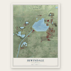

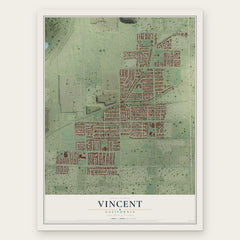
More maps nearby: South Monrovia Island, Mayflower Village, North El Monte, El Monte and Avocado Heights.
The art of mapping a place
How This Map Was Made
Real places. Remarkable detail. Discover the layers that turn geographic data into a map of home.

The view from above
Aerial imagery reveals the character of the land: woodland, open fields, and the patterns of a place.

The shape of the land
Elevation data brings hills, valleys, and subtle changes in the landscape into view.

The details of home
Roads, waterways, and building footprints come together to make the map feel unmistakably local.

Geography becomes art
Considered color, shading, and typography bring the layers together in a map made for your wall.


Process illustrated with Mendon, Massachusetts. Aerial imagery: USDA NAIP. Terrain: USGS 3D Elevation Program. Map details and finished artwork: KNOWOL.
The Details
About This Print
Choose an archival matte print, or a black or white Ayous wood frame. The archival matte print is unframed.
Select your size and finish above to see the matching product image and price.
Materials & Craftsmanship
A contemporary map with the character of a classic atlas, printed on archival matte paper. Optional frames are made from Ayous wood.
Your printed map does not include the watermark shown in the full-map preview.
Shipping & Delivery
Free shipping within the United States. Every print is made to order in the USA.
Buying a gift? Add a note in your cart and we'll include it. We never put prices in the package.
Prints ship within 2 to 3 business days. Allow 7 to 10 days total from ordering for delivery. Timing may vary during holidays or periods of high order volume.
Read our shipping policy.
Returns and damaged prints
Each print is made to order. Change-of-mind refunds are not available after production.
If your print arrives damaged, misprinted or incorrect, contact support@knowol.com within 30 days of receiving it. Include your order number, photos and a description of the issue.
Read our full refund and replacement policy. For questions about your order, email support@knowol.com.