
Search for another town


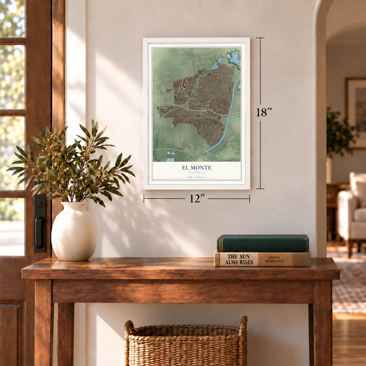
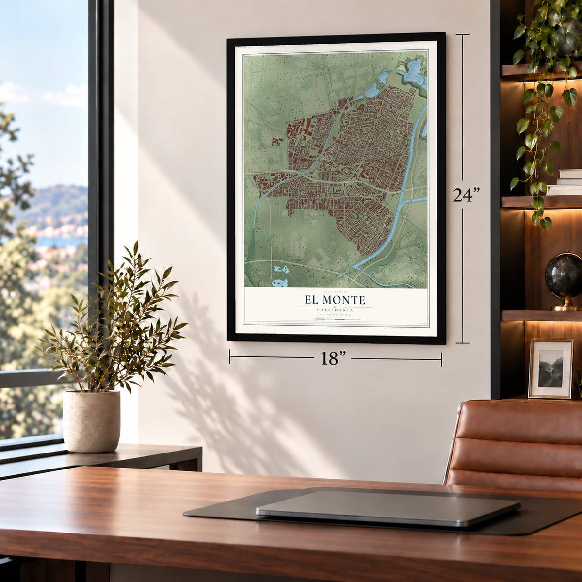
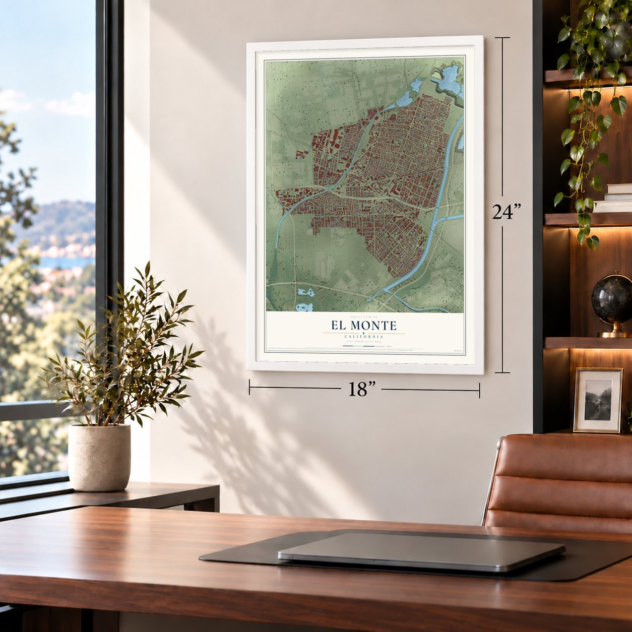
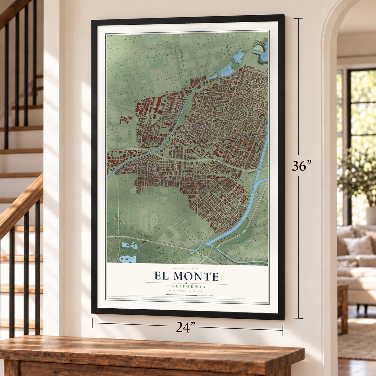

Free U.S. delivery 7 to 10 days after you order
El Monte, California Map Art
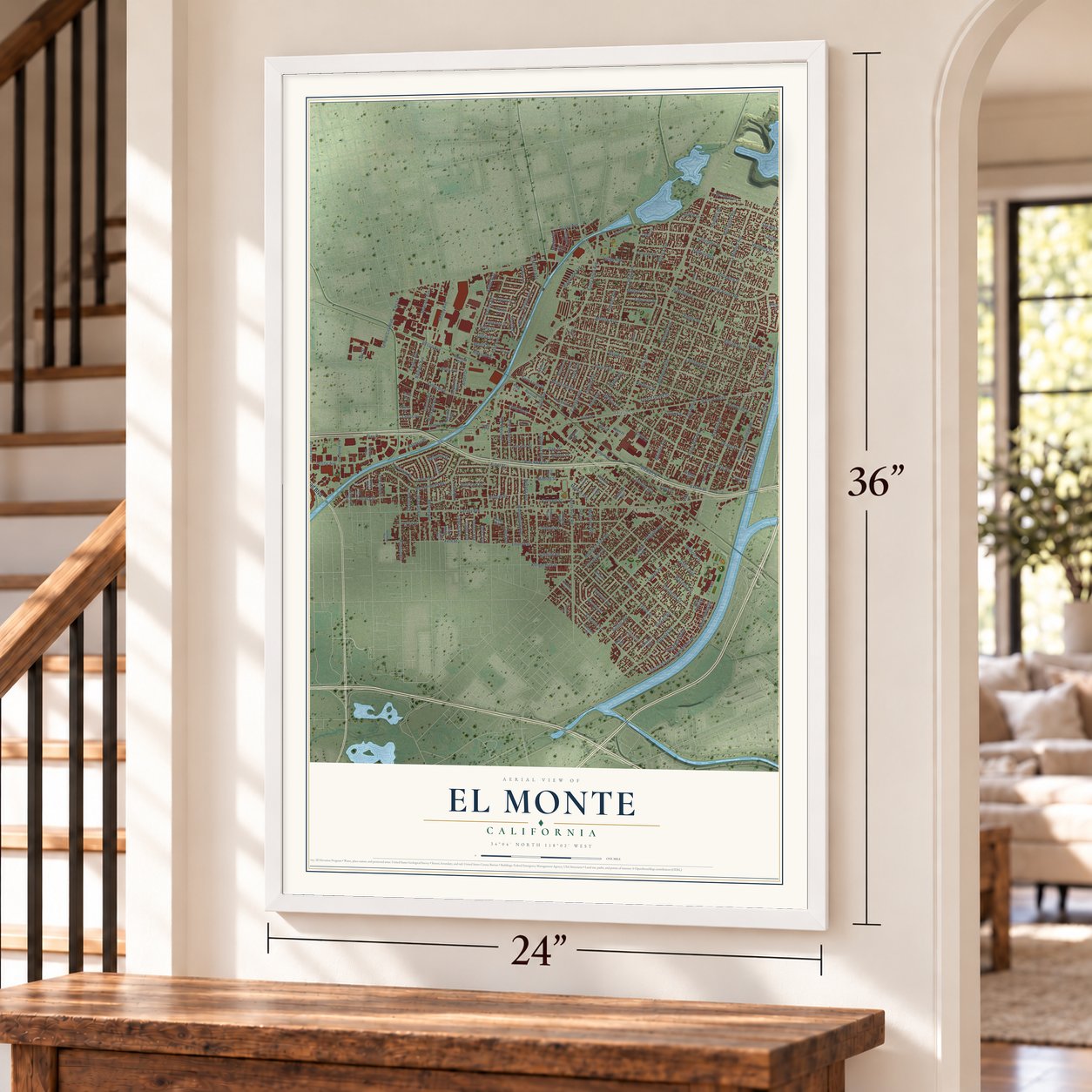
A new map of El Monte, California, made in 2026 and printed to order on thick archival matte paper.
12" x 18" Archival Matte Print
A Map of Home. A Work of Art.
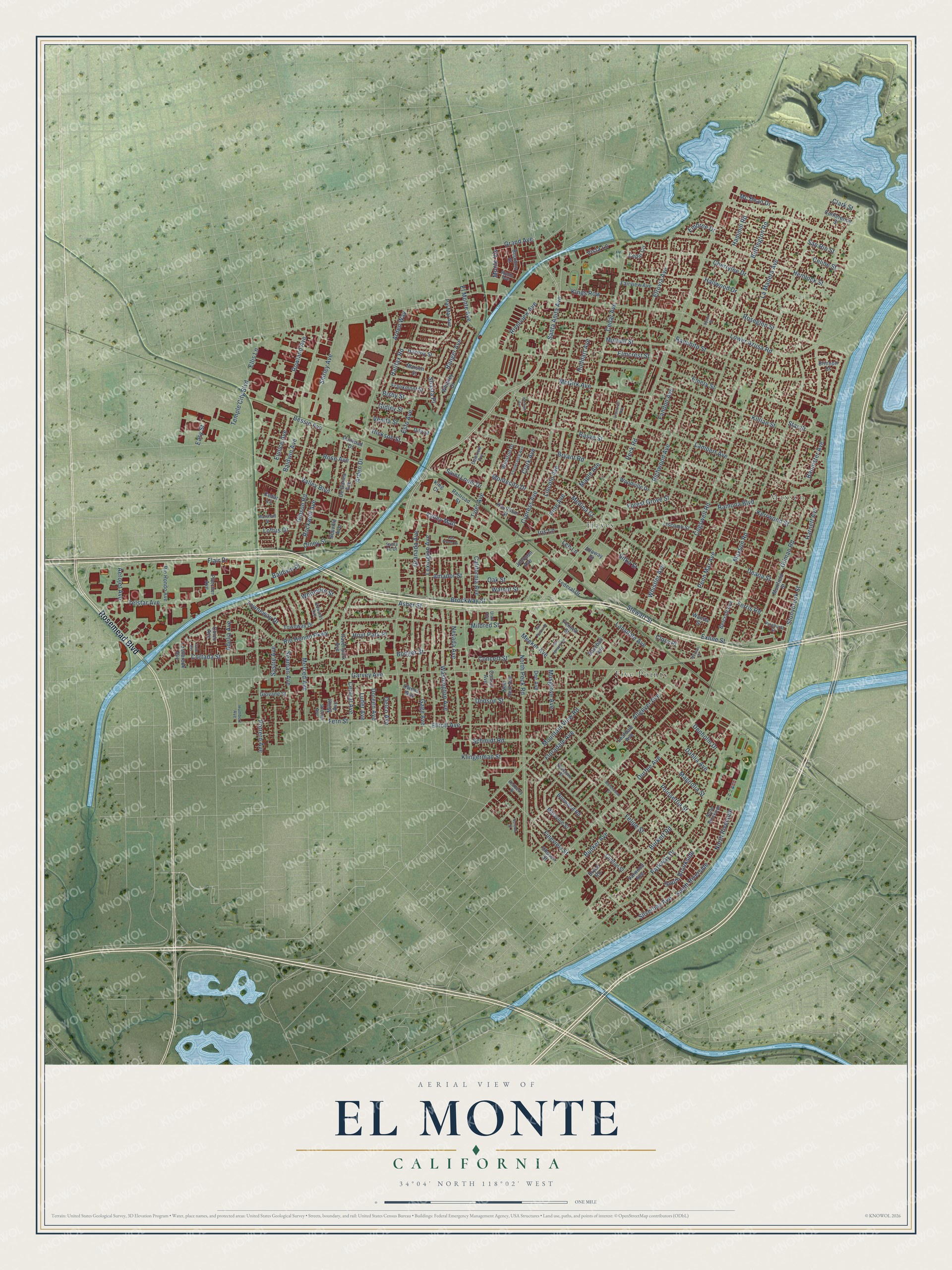
Explore El Monte, California from a whole new perspective. Created using aerial imagery and detailed geographic data, this map captures El Monte building by building, with labeled streets, familiar landmarks, and shaded topographical relief that highlights the natural contours of the landscape.
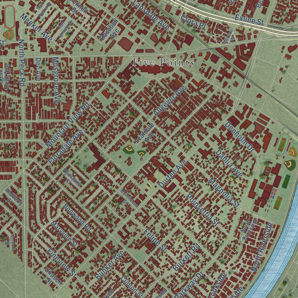
Combining modern data with the timeless character of a vintage atlas, this map is just as interesting up close as it is beautiful on the wall. Whether you grew up in El Monte, spent memorable years there, or call it home today, this unique map is a great way to celebrate a place that means something to you. Zoom in on the preview to look for your street, and then order a print to put your memories on the wall.
Three ways to hang it
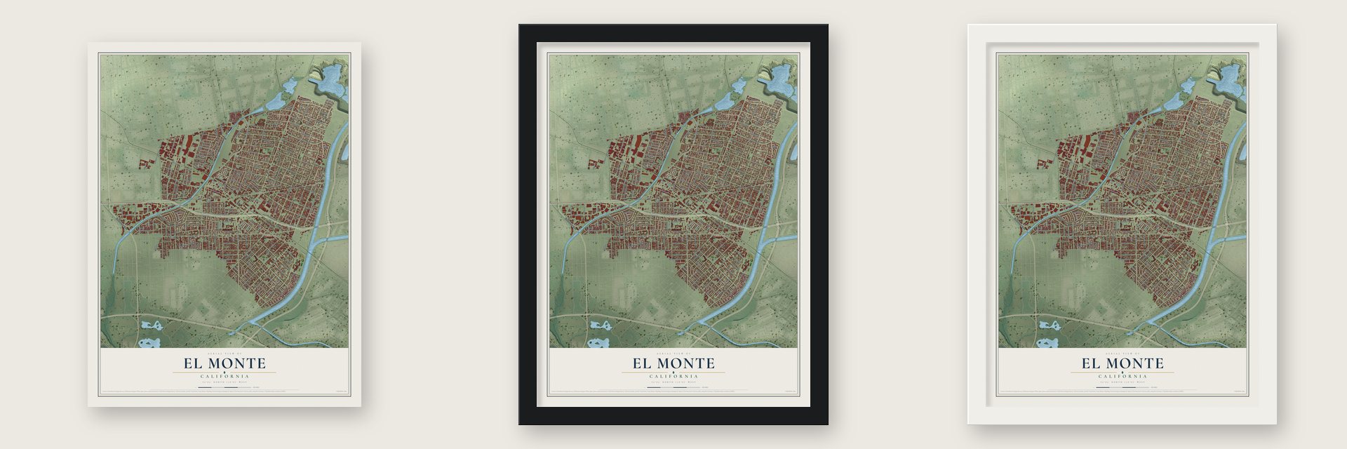
Unframed archival matte, a black wood frame or a white wood frame.
Up close
Geography Worth Displaying
This map was created using accurate cartographic data and authoritative geographic sources, including the U.S. Geological Survey and the Census Bureau. The map brings together terrain, waterways, roads, and building detail. The majority of the streets are labeled, houses are accurately depicted, and the topography is derived from government sources. Combining local data with carefully composed color and shading leads to this beautifully detailed El Monte artwork for your wall.
Rather than simply showing street outlines, we’ve included as many of the street names as we could reasonably fit on the map while keeping their names legible. Zoom in on the high resolution preview to see exactly what’s on the map. We truly set out to create a statement piece for anyone who loves El Monte. So whether it’s for you, or a gift for someone you love, we hope this map of El Monte brings back fond memories.
Read the story behind this map of El Monte, California from 2026.

About El Monte, California
El Monte is a city of 109,450 people in Los Angeles County, in the San Gabriel Valley between the San Gabriel and Rio Hondo rivers. The Tongva have called this land home for thousands of years. Spanish soldiers and missionaries traveling through from 1770 to 1830 made it a regular resting place, and they named it El Monte, an old Spanish word for "the wood," because willows, alders and cattails covered the low ground.
After 1848 the place became a stop for Americans heading to the gold fields. The first permanent families came around 1849, mostly from Texas, Arkansas and Missouri, and they began farming the rich land by the river. For a short time in the 1850s settlers called the town Lexington, but the old name soon returned. Southern Pacific built a depot here in 1873, which helped local farming grow, and El Monte became an incorporated city in 1912.
“El Monte, on the bank of the San Gabriel River, played a significant part in California's early pioneer history. It was first an encampment on the Old Spanish Trail, an extension of the trail from Missouri to Santa Fe.”
- The Old Spanish Trail, 1829Antonio Armijo opened the trade route in 1829. It passed through El Monte on today's Valley Boulevard and ended at Mission San Gabriel. Traders brought New Mexico woolens west and drove California horses and mules back. Late in 1841 the Workman-Rowland Party took it from Santa Fe, and in 1845 Rowland and Workman received Rancho La Puente, which included El Monte's site. In 1989 the city opened Santa Fe Trail Historical Park where Valley Boulevard meets Santa Anita Avenue.
- Monte Rangers and El Monte BoysEarly El Monte was rough, and men in its gambling saloons settled quarrels with knives and guns. Against raids and bandit gangs such as Joaquin Murrieta's, settlers formed the Monte Rangers militia in February 1854. Once it disbanded, vigilantes called the El Monte Boys rode in county posses, among them the 1857 hunt for the gang of Juan Flores and Pancho Daniel. The adobe Monte Station opened in 1858 as a Butterfield Overland Mail stagecoach stop.
- A secession plot in 1861El Monte was seen as a Confederate stronghold in the Civil War. On March 23, 1861, Undersheriff A. J. King and other leaders formed the Monte Mounted Rifles. The plan collapsed after Fort Sumter, when King paraded a portrait of General P. G. T. Beauregard and a U.S. Marshal arrested him. Union officers at San Pedro withheld its state arms. In March 1862 Union troops opened New Camp Carleton nearby; it closed three years later, at war's end.
- New Deal homesteadsIn the 1930s El Monte was an important site for the federal Subsistence Homestead project, which gave qualifying families single-family ranch houses. Many of the new residents were white Americans who had fled the Dust Bowl. In February 1936 Dorothea Lange photographed the new Homestead homes for the Farm Security Administration, one month before she took her famous Migrant Mother photograph.
Find your street
Names on the El Monte map
Every name below is printed on this map. Look for your street, your school, the park where you played, or the pond down the road.
Places and landmarks3
- Maxson
- Five Points
- Hayes
Streets and roads220
- Rosemead Boulevard
- Santa Anita Avenue
- Baldwin Avenue
- Stonybrook Street
- Monte Vis
- Lambert Avenue
- Roseglen Street
- Kings Row
- Allgeyer Avenue
- Bannister Avenue
- South Riverside
- Silverbay Avenue
- Cogswell Road
- Durfee Avenue
- Peck Road
- Valley Boulevard
- North Peck Road
- Maxson Road
- Lower Azusa Road
- Garvey Avenue
- Ramona Boulevard
- Tyler Avenue
- La Madera Avenue
- Elliott Avenue
- Ranchito Street
- Emery Street
- Rio Hondo Parkway
- Brockway Street
- Asher Street
- Flair Drive
Show all 220 streets
- Mulhall Street
- Klingerman Street
- Bryant Road
- Penn Mar Avenue
- Magnolia Street
- Gilman Road
- Arden Drive
- Elrovia Avenue
- Cedar Avenue
- Mountain View Road
- Cypress Avenue
- Bodger Street
- Basye Street
- Lexington Avenue
- Parkway Drive
- Cherrylee Drive
- McGirk Avenue
- Fineview Street
- Meeker Avenue
- Ferris Road
- Granada Avenue
- Mildred Street
- Richwood Avenue
- Hemlock Street
- Exline Street
- Hallwood Drive
- Telstar Avenue
- Washington Avenue
- Nevada Avenue
- Whitmore Street
- Shirley Avenue
- Montecito Drive
- Fern Street
- Forest Grove Street
- Stewart Street
- Schmidt Road
- Iris Lane
- Killian Street
- Whistler Avenue
- Deana Street
- Esto Avenue
- Burkett Road
- Gibson Road
- Kerrwood Street
- Towneway Drive
- Cortada Street
- Potrero Avenue
- Seaman Avenue
- Ranger Avenue
- Rowland Avenue
- Buffington Road
- Gage Avenue
- Valley Mall
- Sastre Avenue
- Rose Avenue
- Felipe Street
- Merced Avenue
- Elmcrest Street
- Riverview Avenue
- Dodson Street
- Clark Avenue
- Amador Street
- Sitka Street
- Doreen Avenue
- El Monte Avenue
- Poinsettia Street
- California Avenue
- Saint Louis Drive
- Gidley Street
- Lincoln Avenue
- Lansdale Avenue
- Shasta Place
- Concert Street
- Central Avenue
- Huddart Avenue
- Celine Street
- Rockwell Avenue
- Pine Avenue
- Vista Lane
- Halifax Road
- Bunker Avenue
- Bisby Street
- South Brookside
- Medina Court
- Fandon Avenue
- Denholm Drive
- North Riverside
- Baldwin Place
- Adelia Avenue
- Oak Street
- Eunice Avenue
- Temple City Boulevard
- Dahlia Avenue
- Hickson Street
- Bessie Avenue
- Walnut Street
- Hoyt Park Place
- Harnett Avenue
- Floradale Avenue
- Olney Street
- Arden Way
- Grand Avenue
- Mc Bean Drive
- Loftus Drive
- Ellis Lane
- Musgrove Avenue
- Venita Street
- Hammill Road
- Easy Street
- Embree Drive
- Aerojet Avenue
- Clora Place
- Star Street
- Clark Street
- Luder Avenue
- San Rio Street
- Maple Avenue
- Delco Avenue
- Lee Lane
- Muirfield Street
- Townway Drive
- Bonwood Road
- Bryce Road
- Whitney Drive
- Frankmont Street
- Fairview Avenue
- Maryvine Street
- Marsen Street
- Giovane Street
- De Garmo Avenue
- Winston Drive
- Pal Mal Avenue
- Kauffman Street
- Owens Way
- Havenpark Avenue
- Leafdale Avenue
- Alloway Street
- Woodville Drive
- Haverly Street
- Belcroft Avenue
- Consol Avenue
- Rio Hondo Avenue
- Liscomb Street
- Fletcher Avenue
- Railroad Street
- New Deal Avenue
- Conference Street
- Lashbrook Avenue
- Federal Drive
- Railroad Drive
- Millet Avenue
- Bourbon Street
- Valwood Avenue
- Johnson Avenue
- Clinton Street
- Beuville Avenue
- Cedar Lane
- Dilo Street
- Chico Avenue
- Baseball Avenue
- Cedar Circle
- Chosen Street
- Dee Avenue
- Brinnon Street
- Wanda Street
- Fennell Street
- King Court
- North Brookside
- Pinehurst Street
- Esmeralda Avenue
- Redberry Street
- Daleview Avenue
- Edwards Avenue
- Redstone Street
- Utah Avenue
- Strozier Avenue
- Humbert Avenue
- Apollo Avenue
- Marshall Street
- Santa Fe Drive
- Morehouse Street
- Crossvale Avenue
- Las Flores Drive
- San Ignacio Drive
- San Pierre Drive
- Maxson Place
- Norema Street
- Vane Avenue
- Kerman Avenue
- Dyson Street
Names are listed as they appear on the printed map. Zoom into the product photos to find them.
The art of mapping a place
How This Map Was Made
Real places. Remarkable detail. Discover the layers that turn geographic data into a map of home.

The view from above
Aerial imagery reveals the character of the land: woodland, open fields, and the patterns of a place.

The shape of the land
Elevation data brings hills, valleys, and subtle changes in the landscape into view.

The details of home
Roads, waterways, and building footprints come together to make the map feel unmistakably local.

Geography becomes art
Considered color, shading, and typography bring the layers together in a map made for your wall.


Process illustrated with Mendon, Massachusetts. Aerial imagery: USDA NAIP. Terrain: USGS 3D Elevation Program. Map details and finished artwork: KNOWOL.
The Details
About This Print
Choose an archival matte print, or a black or white Ayous wood frame. The archival matte print is unframed.
Select your size and finish above to see the matching product image and price.
Materials & Craftsmanship
A contemporary map with the character of a classic atlas, printed on archival matte paper. Optional frames are made from Ayous wood.
Your printed map does not include the watermark shown in the full-map preview.
Shipping & Delivery
Free shipping within the United States. Every print is made to order in the USA.
Buying a gift? Add a note in your cart and we'll include it. We never put prices in the package.
Prints ship within 2 to 3 business days. Allow 7 to 10 days total from ordering for delivery. Timing may vary during holidays or periods of high order volume.
Read our shipping policy.
Returns and damaged prints
Each print is made to order. Change-of-mind refunds are not available after production.
If your print arrives damaged, misprinted or incorrect, contact support@knowol.com within 30 days of receiving it. Include your order number, photos and a description of the issue.
Read our full refund and replacement policy. For questions about your order, email support@knowol.com.
Find your town
Looking for another city?
Find a map of home in our California collection, or any town in the country.
Nearby
Maps of towns near El Monte
Know someone from one of these towns? Their map makes a great gift.
 North El Monte
, California
From $39.99See the map
 South El Monte
, California
From $39.99See the map
 Temple City
, California
From $39.99See the map
More maps nearby: Avocado Heights, Mayflower Village, Rosemead, Baldwin Park and South Monrovia Island.