
Search for another town

Free U.S. delivery 7 to 10 days after you order
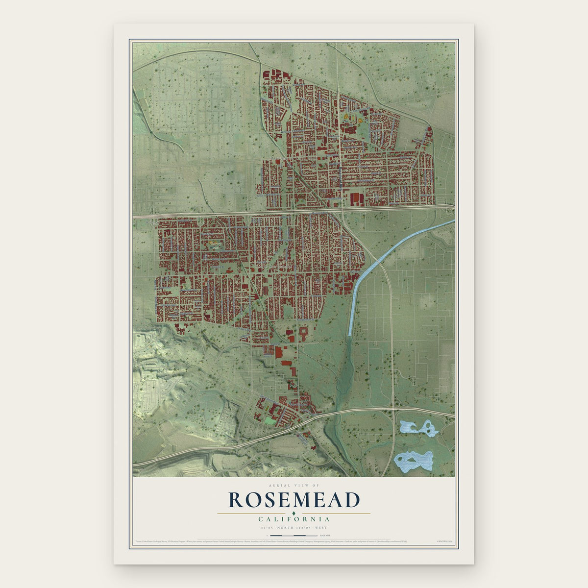
Rosemead, California Map Art
Building by building, with labeled streets and shaded relief.
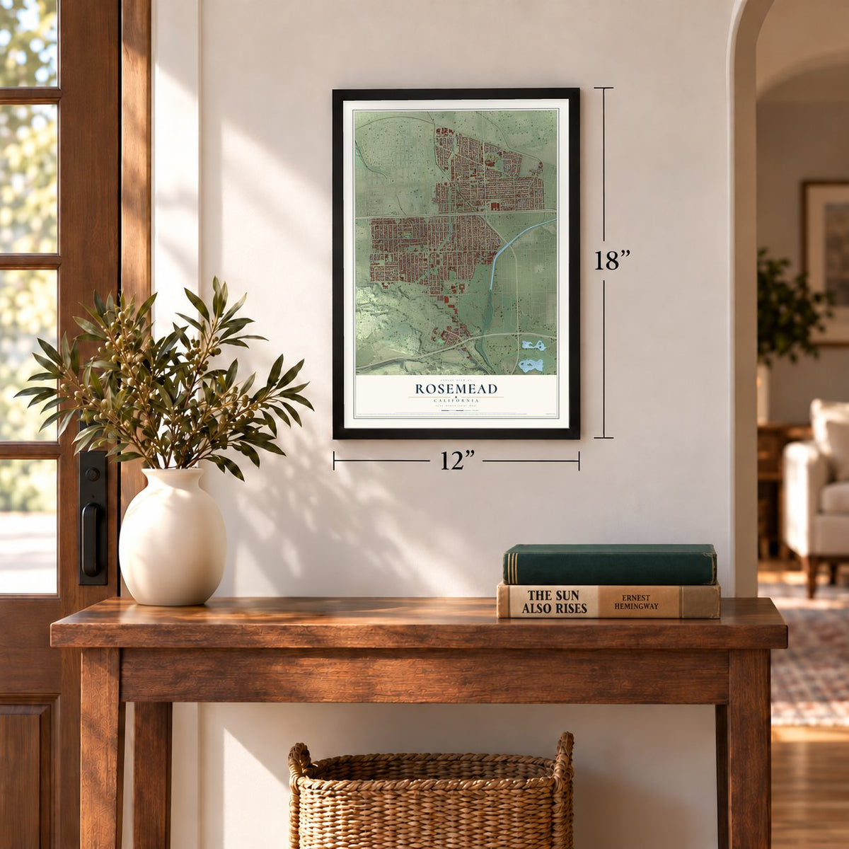
12" x 18" Archival Matte Print
A Map of Home. A Work of Art.
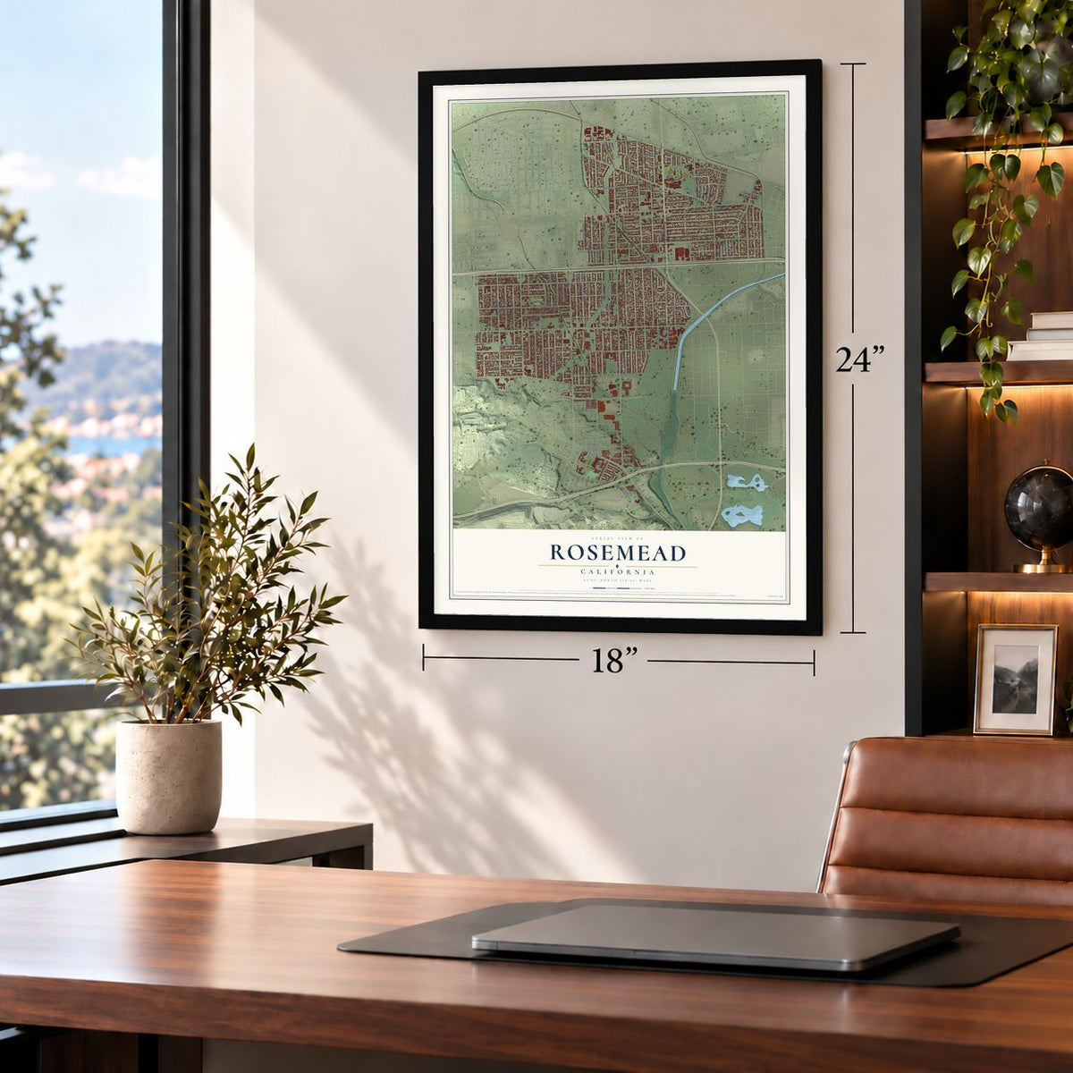
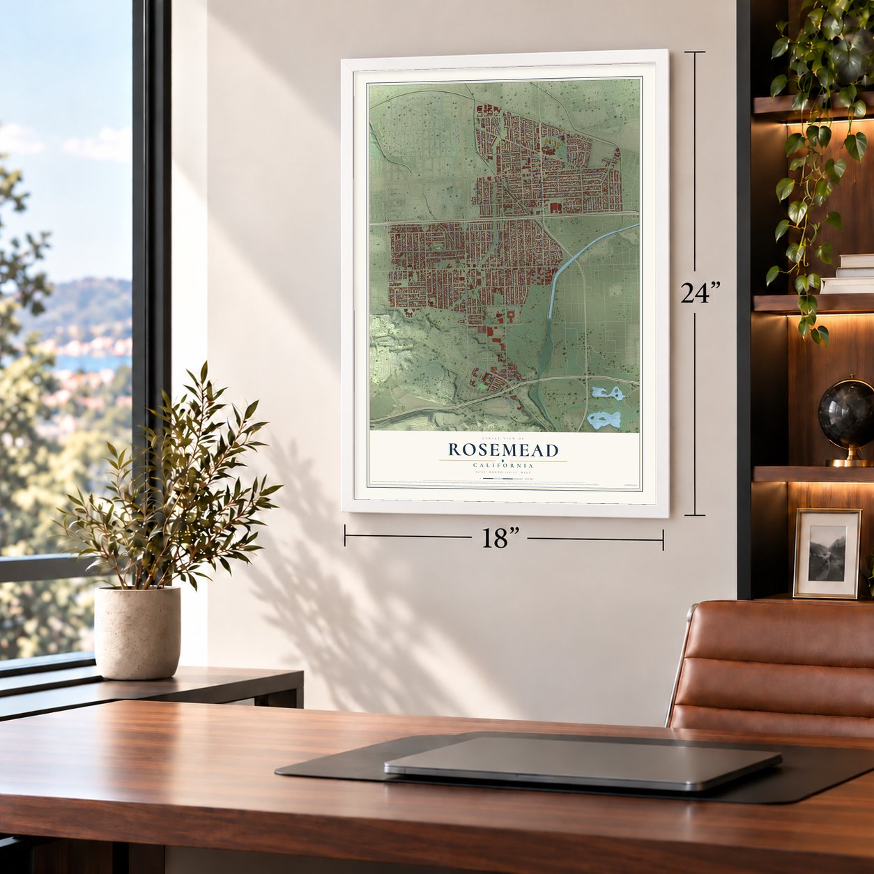
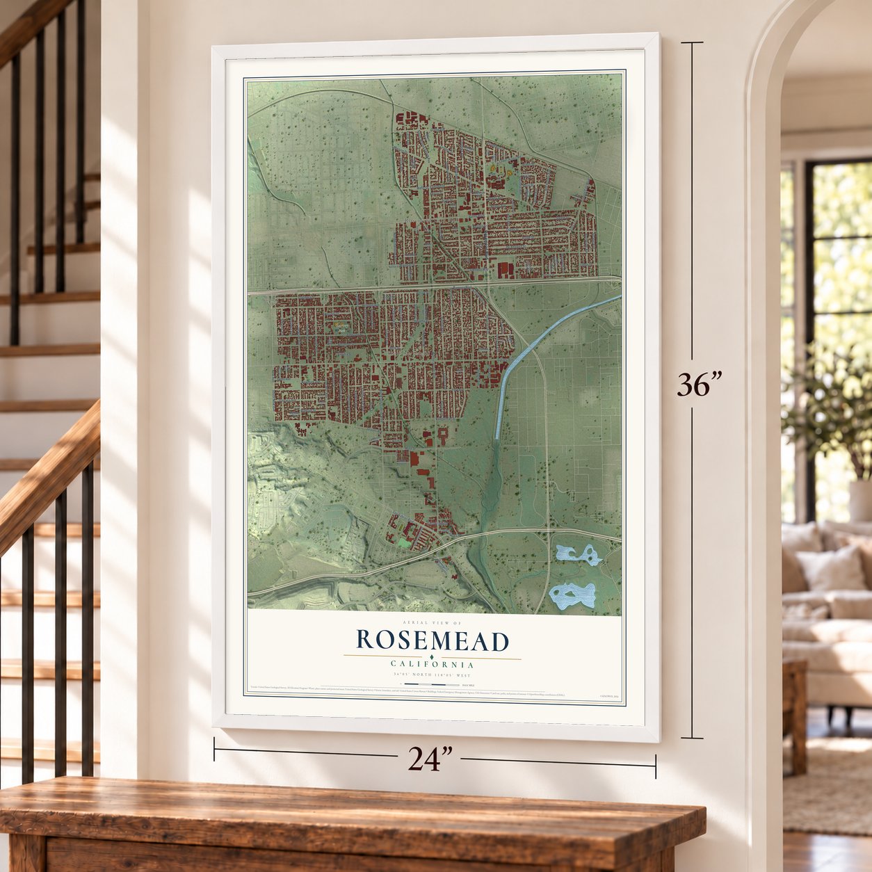
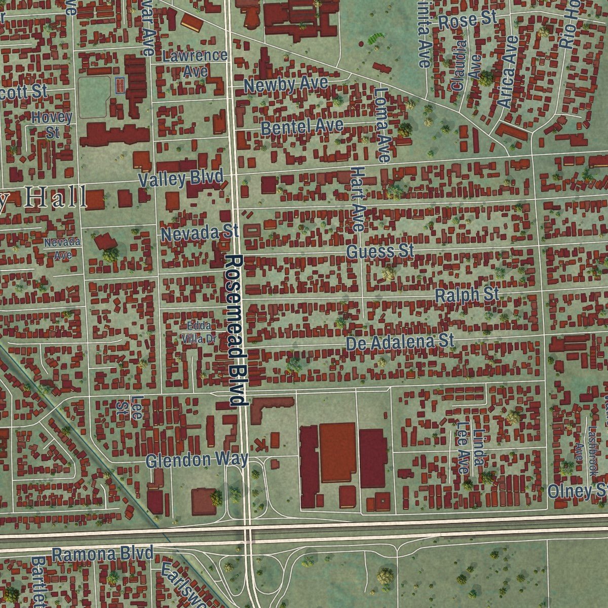
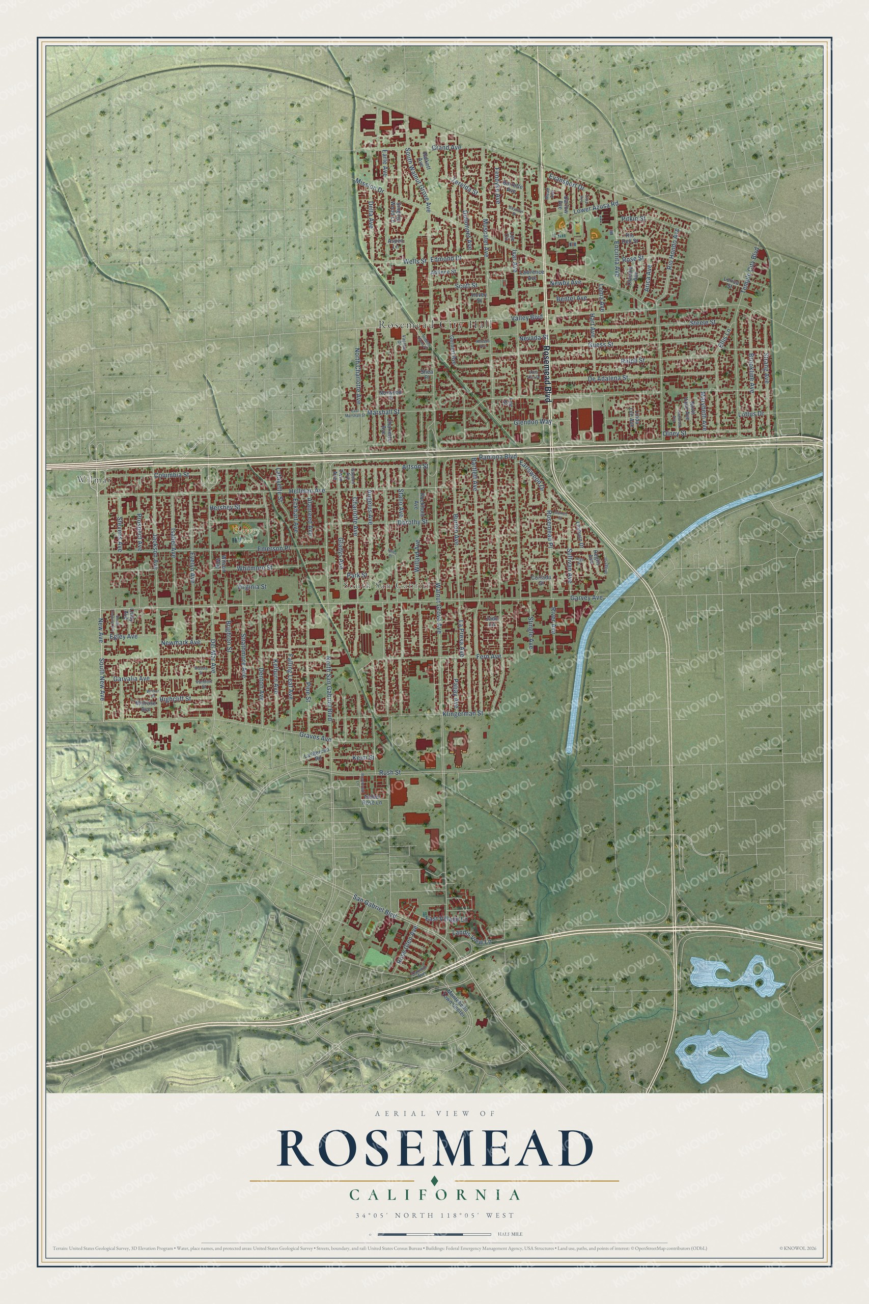
Explore Rosemead, California from a whole new perspective. Created using aerial imagery and detailed geographic data, this map captures Rosemead building by building, with labeled streets, familiar landmarks, and shaded topographical relief that highlights the natural contours of the landscape.
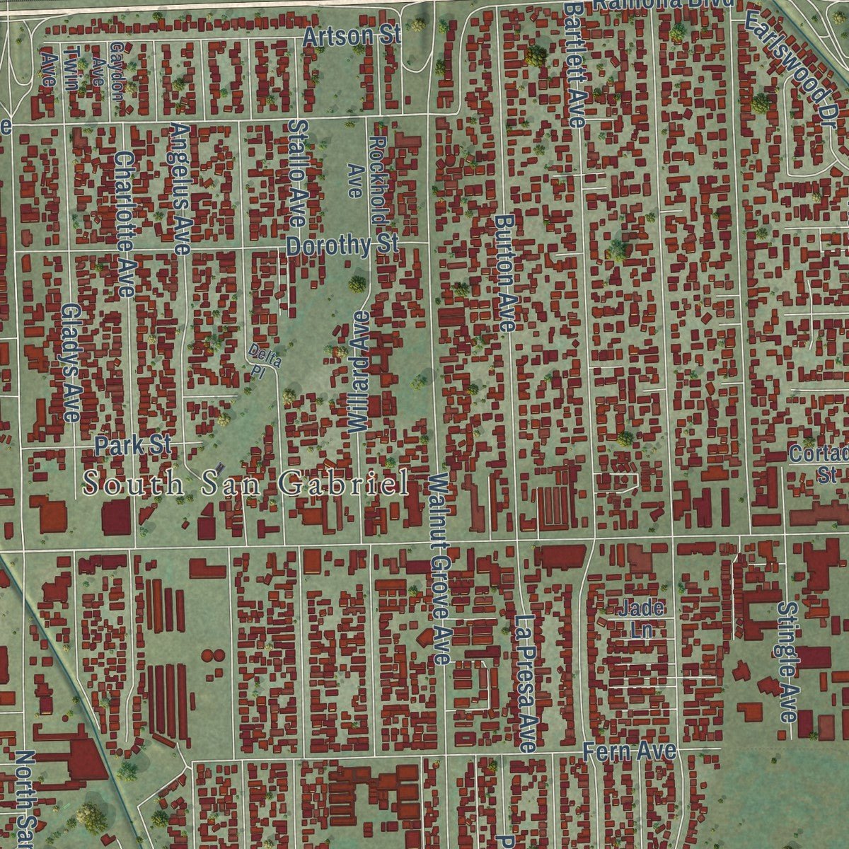
Combining modern data with the timeless character of a vintage atlas, this map is just as interesting up close as it is beautiful on the wall. Whether you grew up in Rosemead, spent memorable years there, or call it home today, this unique map is a great way to celebrate a place that means something to you. Zoom in on the preview to look for your street, and then order a print to put your memories on the wall.
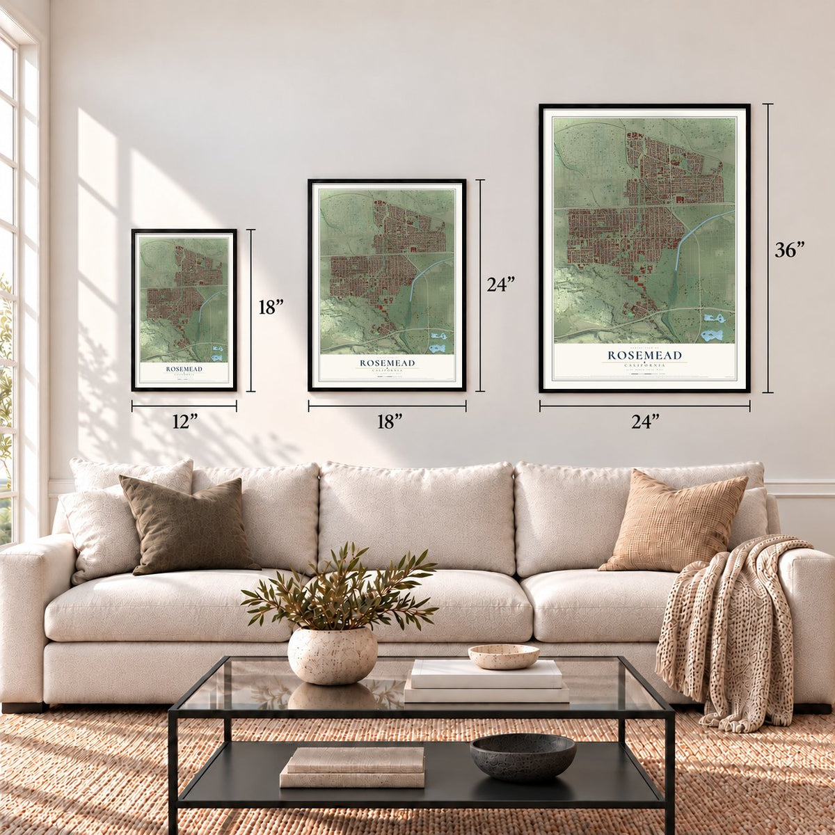
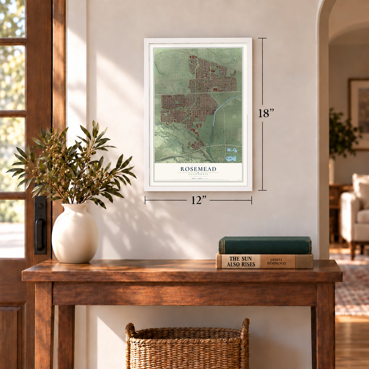
Three ways to hang it
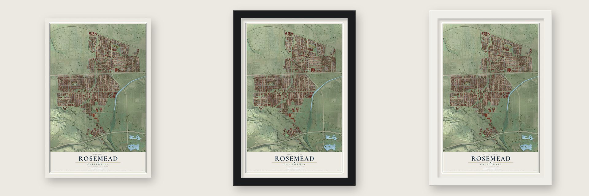
Unframed archival matte, a black wood frame or a white wood frame.
Up close
Geography Worth Displaying
This map was created using accurate cartographic data and authoritative geographic sources, including the U.S. Geological Survey and the Census Bureau. The map brings together terrain, waterways, roads, and building detail. The majority of the streets are labeled, houses are accurately depicted, and the topography is derived from government sources. Combining local data with carefully composed color and shading leads to this beautifully detailed Rosemead artwork for your wall.
Rather than simply showing street outlines, we’ve included as many of the street names as we could reasonably fit on the map while keeping their names legible. Zoom in on the high resolution preview to see exactly what’s on the map. We truly set out to create a statement piece for anyone who loves Rosemead. So whether it’s for you, or a gift for someone you love, we hope this map of Rosemead brings back fond memories.
Read the story behind this map of Rosemead, California from 2026.
Find your street
Names on the Rosemead map
Every name below is printed on this map. Look for your street, your school, the park where you played, or the pond down the road.
Places and landmarks4
- Rosemead City Hall
- South San Gabriel
- Garvey Park
- Wilmar
Streets and roads149
- Rosemead Boulevard
- New Avenue
- South New Avenue
- Garvey Avenue
- Hellman Avenue
- Angelus Avenue
- Lower Azusa Road
- Valley Boulevard
- Ramona Boulevard
- Wells Street
- Walnut Grove Avenue
- Muscatel Avenue
- Delta Avenue
- Bartlett Avenue
- Earle Avenue
- Ivar Avenue
- Marshall Street
- Guess Street
- Mission Drive
- North San Gabriel Boulevard
- Fern Avenue
- San Gabriel Boulevard
- Del Mar Avenue
- Jackson Avenue
- Charlotte Avenue
- Graves Avenue
- Ralph Street
- Emerson Place
- Whitmore Street
- Steele Street
Show all 149 streets
- De Adalena Street
- Rio Hondo Avenue
- Olney Street
- Grand Avenue
- Kelburn Avenue
- Gladys Avenue
- Temple City Boulevard
- Willard Avenue
- Klingerman Street
- Artson Street
- Dorothy Street
- Evelyn Avenue
- La Presa Avenue
- Falling Leaf Avenue
- South Walnut Grove Avenue
- Brighton Street
- Dubonnet Avenue
- Burton Avenue
- Denton Avenue
- Rush Street
- Strathmore Avenue
- Newmark Avenue
- Pine Street
- Garvalia Avenue
- Brookline Avenue
- Glendon Way
- Prospect Avenue
- Strang Avenue
- Ellis Lane
- Rosemead Place
- Hart Avenue
- Stevens Avenue
- Isabel Avenue
- Hershey Street
- Columbia Street
- East Village Lane
- Encinita Avenue
- North Charlotte Avenue
- Eckhart Avenue
- Bentel Avenue
- Sullivan Avenue
- Pitkin Street
- Newby Avenue
- Rose Street
- Arica Avenue
- Evansport Drive
- Loftus Drive
- Landis View Lane
- Fendyke Avenue
- Scott Street
- Edmond Drive
- Paljay Avenue
- Egley Avenue
- River Avenue
- Highcliff Street
- Stingle Avenue
- Rose Glen Avenue
- Earlswood Drive
- Lafayette Street
- Park Street
- Zerelda Street
- Alanreed Avenue
- Keim Street
- Marybeth Avenue
- Stallo Avenue
- Virginia Street
- Nevada Street
- Loma Avenue
- Rockhold Avenue
- Montebello Town Center
- Halkett Avenue
- Lawrence Avenue
- Norwood Place
- Abilene Street
- Chariette Avenue
- Melrose Avenue
- Rio Dell Street
- Gernert Avenue
- North Vane Avenue
- Heglis Avenue
- Claudia Avenue
- Amber Rose Lane
- Singing Wood Lane
- Darlow Avenue
- Lindy Avenue
- Leyburn Drive
- Hovey Street
- Jade Lane
- La Merced Road
- Wilson Way
- Barrette Avenue
- Lorica Street
- Twin Avenue
- Linda Lee Avenue
- Cortada Street
- Aspen Lane
- Lee Circle
- Shea Place
- Lee Street
- Mead Avenue
- Vachon Drive
- Oakmill Avenue
- Gaydon Avenue
- Vandorf Street
- Boydton Street
- Driggs Drive
- Hidden Pines Place
- South Dequine Avenue
- Lashbrook Avenue
- Wilmar Place
- East Marshall Street
- Argo Place
- Rosebrook Lane
- Livia Avenue
- Edda Villa Drive
- Wasola Street
- Garrett Street
- Nevada Avenue
- Delta Place
Names are listed as they appear on the printed map. Zoom into the product photos to find them.
About Rosemead, California
Rosemead is a city of 51,185 people in Los Angeles County, in the west San Gabriel Valley. Before the Spanish came, the Kizh people, also called the Tongva or Gabrieleños, lived here. Under Spain the land belonged to the San Gabriel Mission. After Mexico broke up the mission lands in 1833, most of today's Rosemead became Rancho Potrero Grande, granted in 1845 to Manuel Antonio Pérez, an overseer at the mission. By 1852 the 4,431-acre ranch had passed to Juan Matías Sánchez of Taos, New Mexico.
Later, Leonard John Rose and Amanda, his wife, purchased roughly 600 acres between today's Rosemead Boulevard and Walnut Grove Avenue, where Rose raised and trained horses. He called the place Rose's Meadow, and the name was shortened to Rosemeade and then to Rosemead. Truck farms and rabbit and chicken farms spread across the area, and on August 4, 1959, residents voted to make Rosemead a city.
- The Guess family's SavannahIn 1852 John and Harriet Guess crossed the country by ox wagon from Conway County, Arkansas. In 1855 they camped where Savannah Elementary School now stands on Rio Hondo Avenue. They said they were renting, but in 1867 a court ruled they had been squatting on Sánchez's land. John Guess later bought 100 acres of a 1,164-acre ranch and named it Savannah, the name the community went by before Rosemead.
- Graves under Valley BoulevardSavannah Pioneer Cemetery had its first known burial in 1846. Families from swampy Lexington, now El Monte, buried their dead on this higher, drier ground, and many believe it is the county's oldest Protestant burial ground. When the city widened Valley Boulevard in the 1920s, crews dug up dozens of bodies outside the fence. Most were reburied in a mass grave inside, but some still lie under the road. Of its original 3,000 plots, 200 remain.
- A Buddhist university since 1996University of the West moved to Rosemead from Hsi Lai Temple in Hacienda Heights in 1996. It was among the earliest universities in the country paid for by Buddhists. The Rosemead School of Psychology, named for its first home here, became the nation's first standalone professional psychology school to win regional accreditation.
Keep exploring California
Rosemead is one of 1,990 California towns we've mapped. Every dot on the map is a print of its own.
The search covers every state, California first.
Near Rosemead
Order 2 or more town maps and save 10%. Shown in the size and finish you picked above, so they hang as a set.
- South San Gabriel 12" x 18" / Archival Matte Print $39.99
- San Gabriel 12" x 18" / Archival Matte Print $39.99
- South El Monte 12" x 18" / Archival Matte Print $39.99
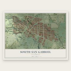
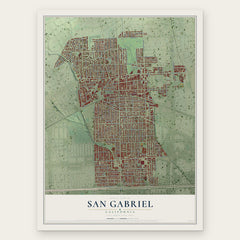
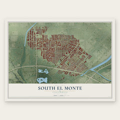
More maps nearby: Temple City, El Monte, Monterey Park, Alhambra and East San Gabriel.
The art of mapping a place
How This Map Was Made
Real places. Remarkable detail. Discover the layers that turn geographic data into a map of home.

The view from above
Aerial imagery reveals the character of the land: woodland, open fields, and the patterns of a place.

The shape of the land
Elevation data brings hills, valleys, and subtle changes in the landscape into view.

The details of home
Roads, waterways, and building footprints come together to make the map feel unmistakably local.

Geography becomes art
Considered color, shading, and typography bring the layers together in a map made for your wall.


Process illustrated with Mendon, Massachusetts. Aerial imagery: USDA NAIP. Terrain: USGS 3D Elevation Program. Map details and finished artwork: KNOWOL.
The Details
About This Print
Choose an archival matte print, or a black or white Ayous wood frame. The archival matte print is unframed.
Select your size and finish above to see the matching product image and price.
Materials & Craftsmanship
A contemporary map with the character of a classic atlas, printed on archival matte paper. Optional frames are made from Ayous wood.
Your printed map does not include the watermark shown in the full-map preview.
Shipping & Delivery
Free shipping within the United States. Every print is made to order in the USA.
Buying a gift? Add a note in your cart and we'll include it. We never put prices in the package.
Prints ship within 2 to 3 business days. Allow 7 to 10 days total from ordering for delivery. Timing may vary during holidays or periods of high order volume.
Read our shipping policy.
Returns and damaged prints
Each print is made to order. Change-of-mind refunds are not available after production.
If your print arrives damaged, misprinted or incorrect, contact support@knowol.com within 30 days of receiving it. Include your order number, photos and a description of the issue.
Read our full refund and replacement policy. For questions about your order, email support@knowol.com.