
Search for another town
Free U.S. delivery 7 to 10 days after you order
San Gabriel, California Map Art
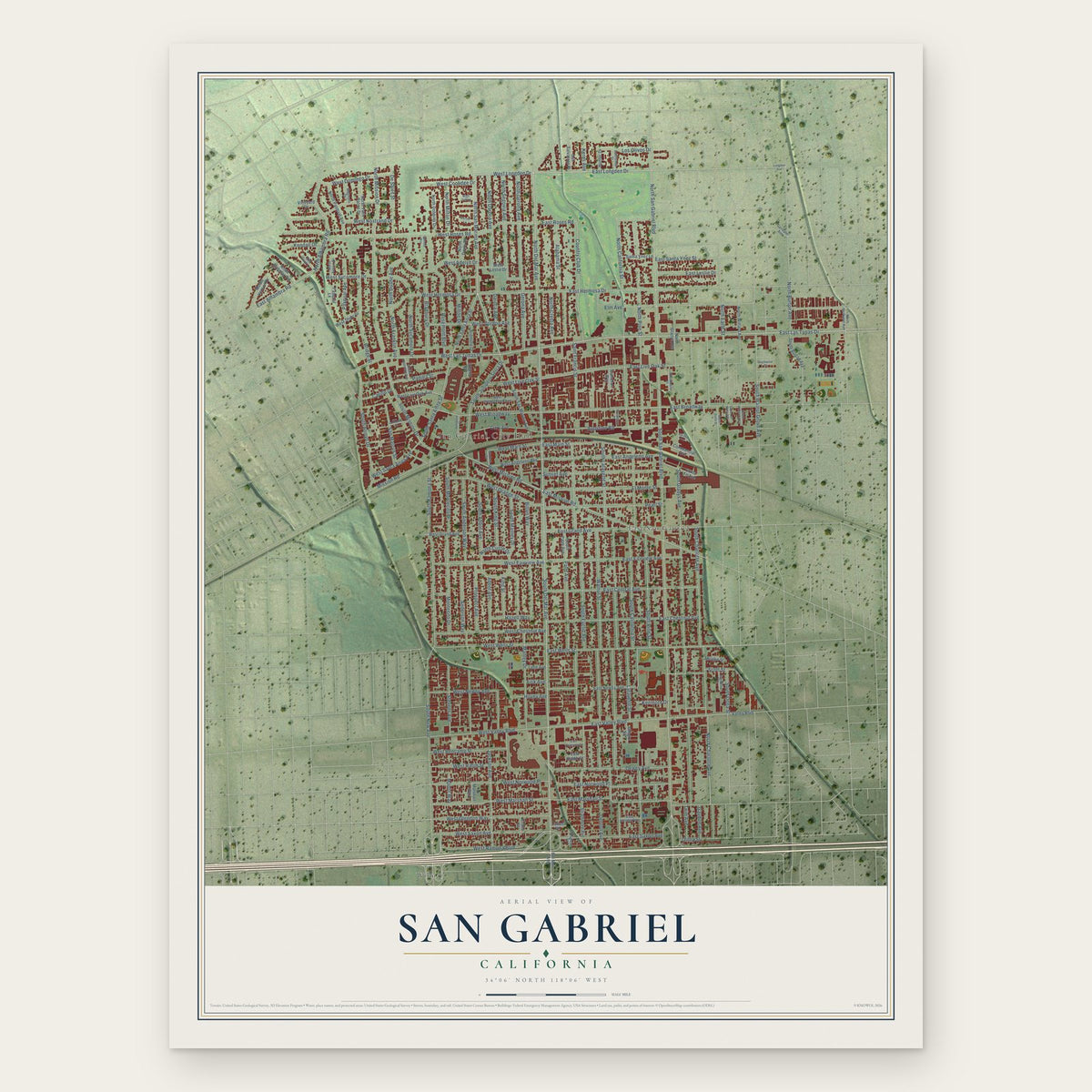
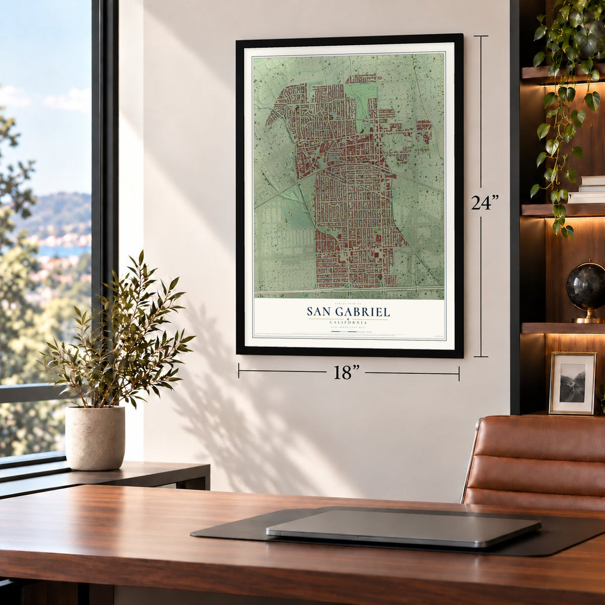
A new map of San Gabriel, California, made in 2026 and printed to order on thick archival matte paper.
12" x 18" Archival Matte Print
A Map of Home. A Work of Art.
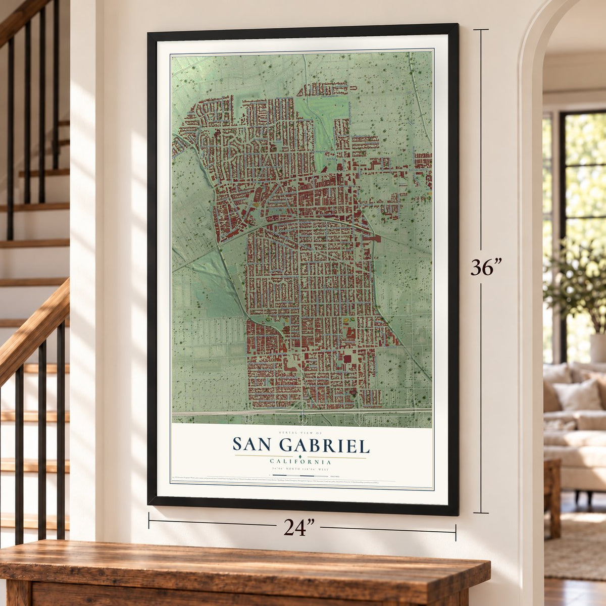
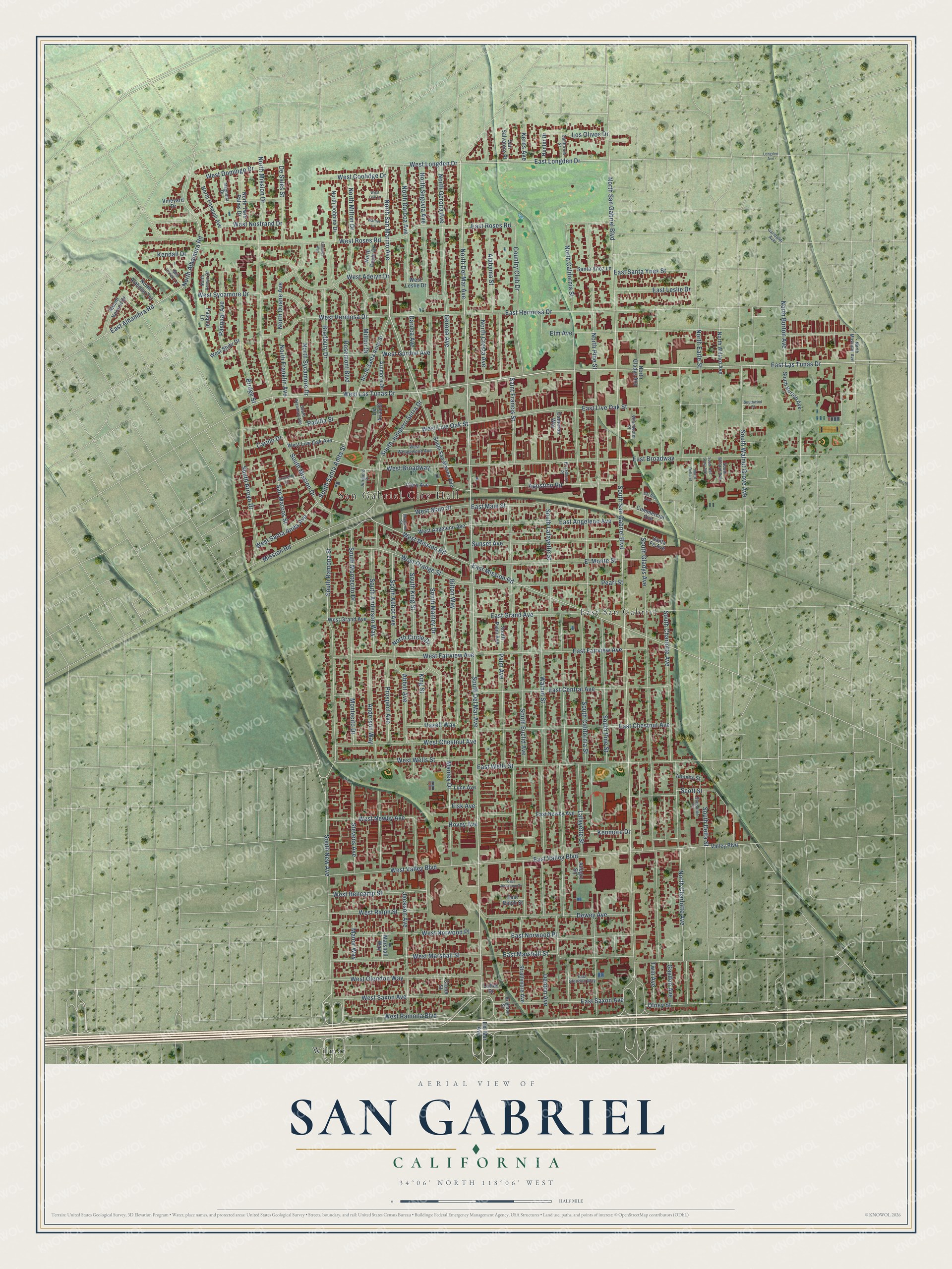
Explore San Gabriel, California from a whole new perspective. Created using aerial imagery and detailed geographic data, this map captures San Gabriel building by building, with labeled streets, familiar landmarks, and shaded topographical relief that highlights the natural contours of the landscape.
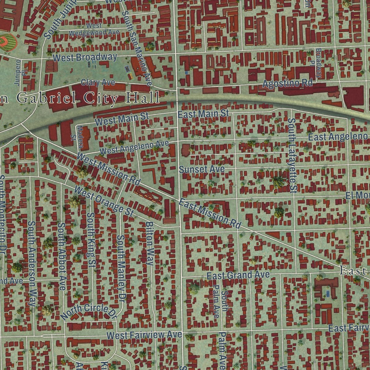
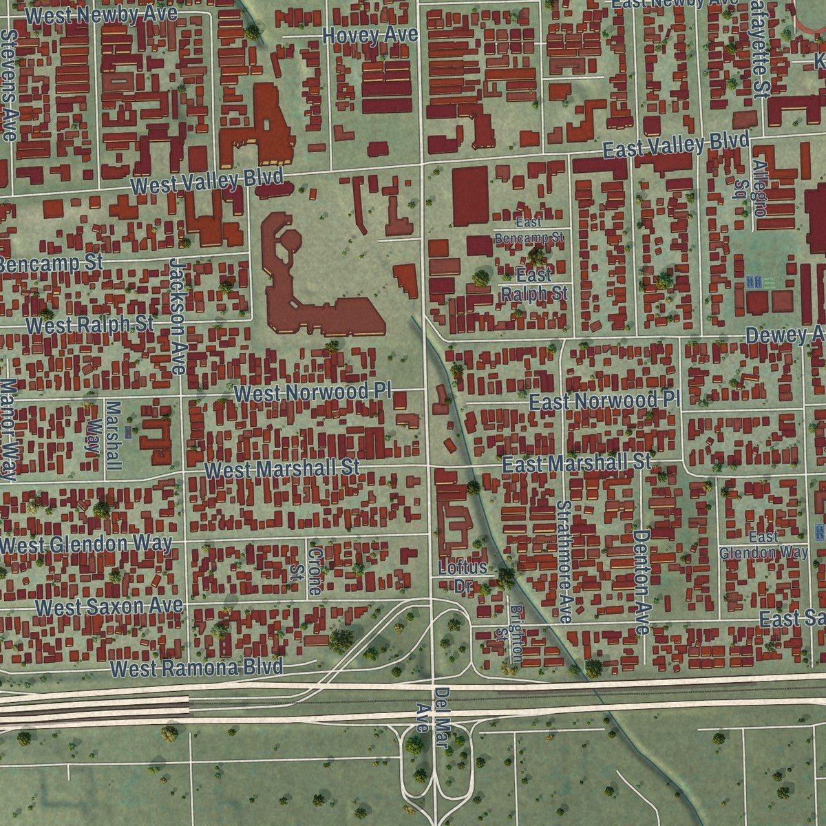
Combining modern data with the timeless character of a vintage atlas, this map is just as interesting up close as it is beautiful on the wall. Whether you grew up in San Gabriel, spent memorable years there, or call it home today, this unique map is a great way to celebrate a place that means something to you. Zoom in on the preview to look for your street, and then order a print to put your memories on the wall.
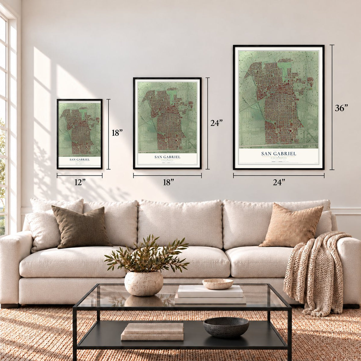
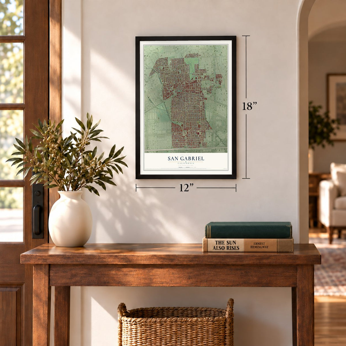
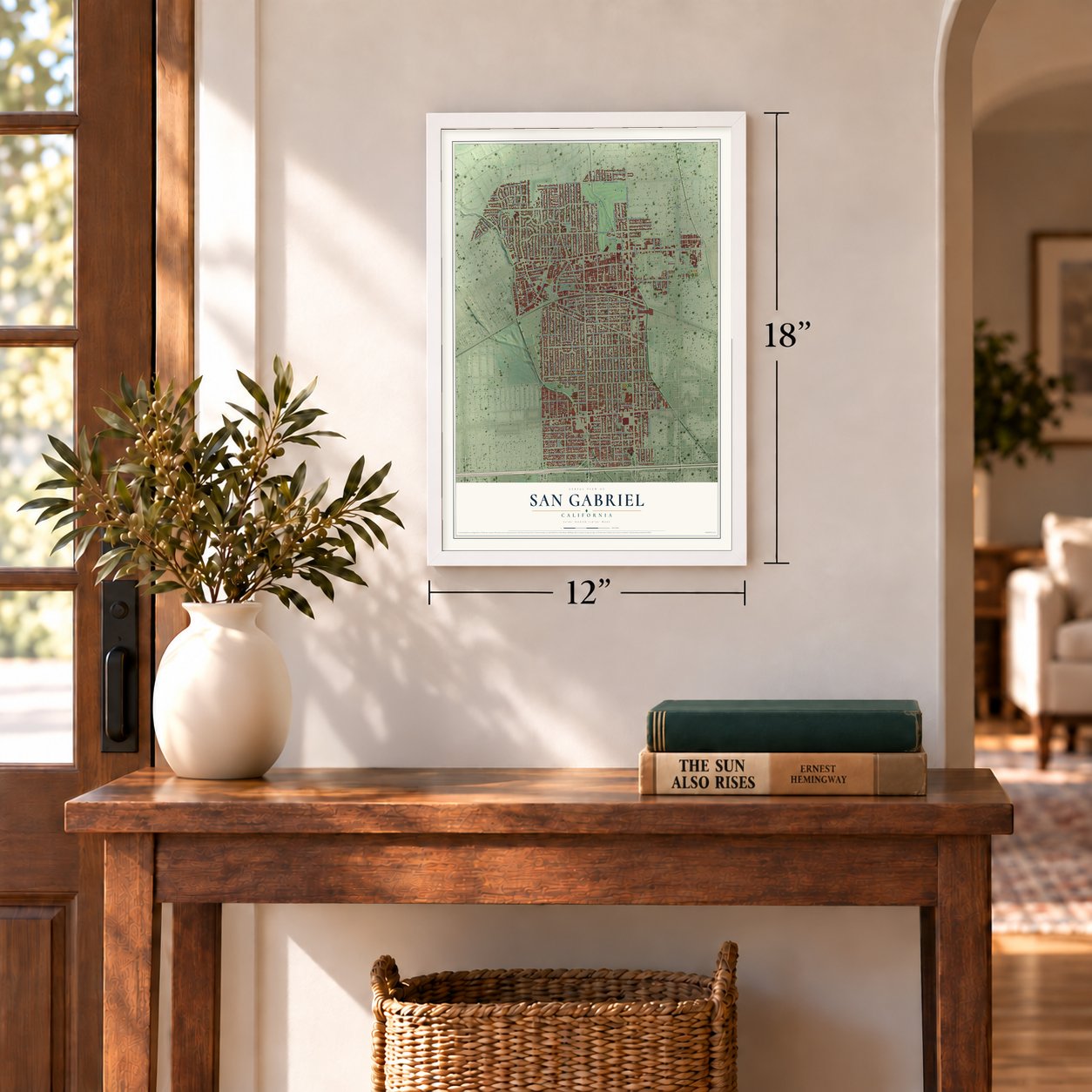
Three ways to hang it
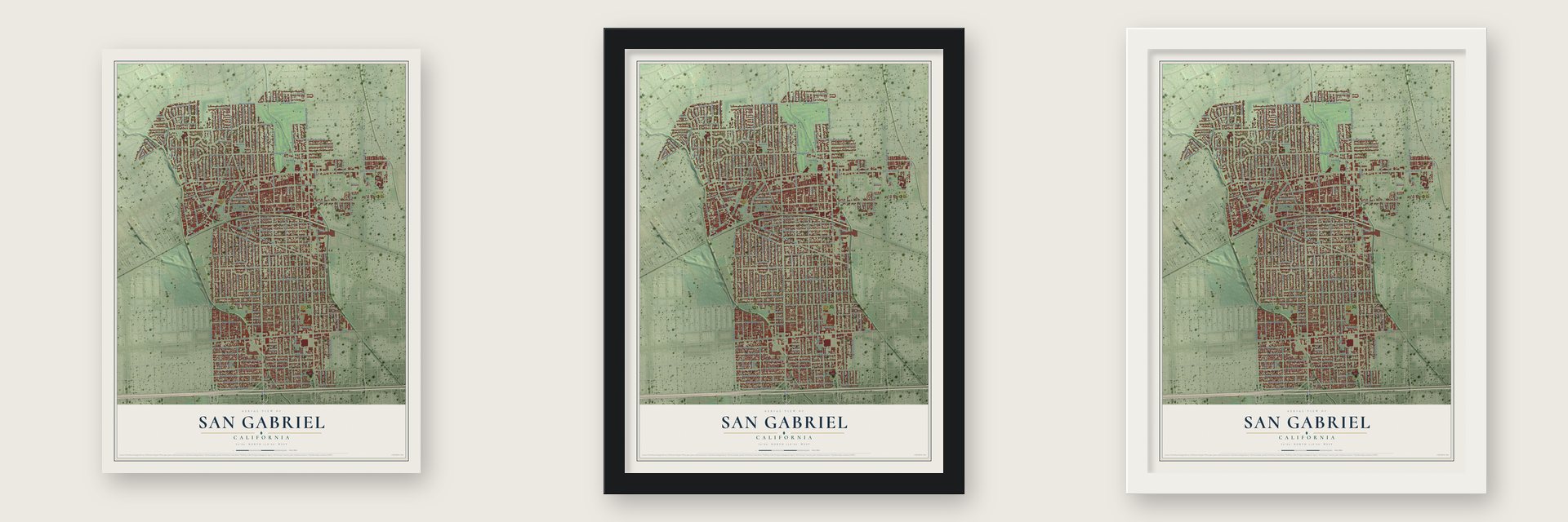
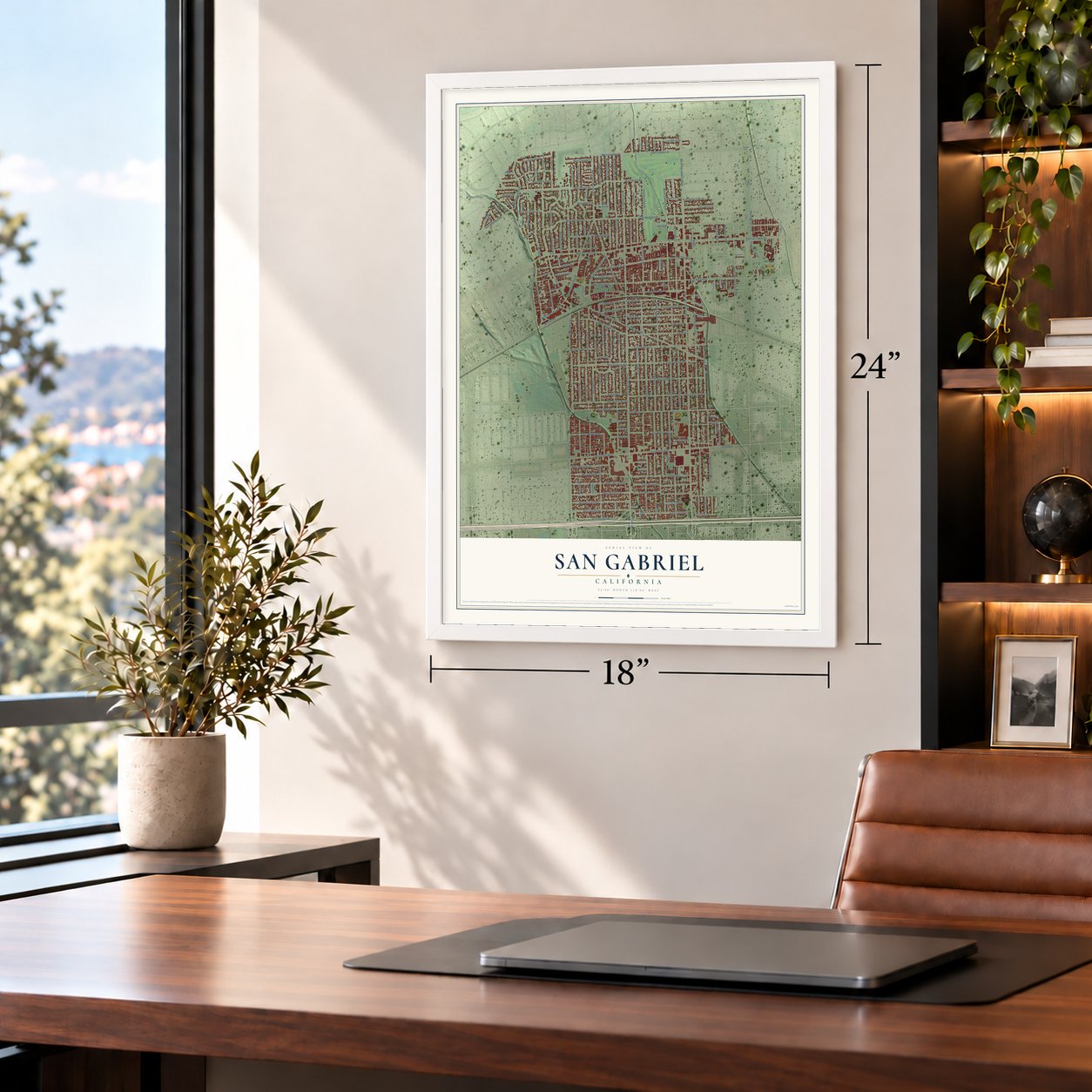
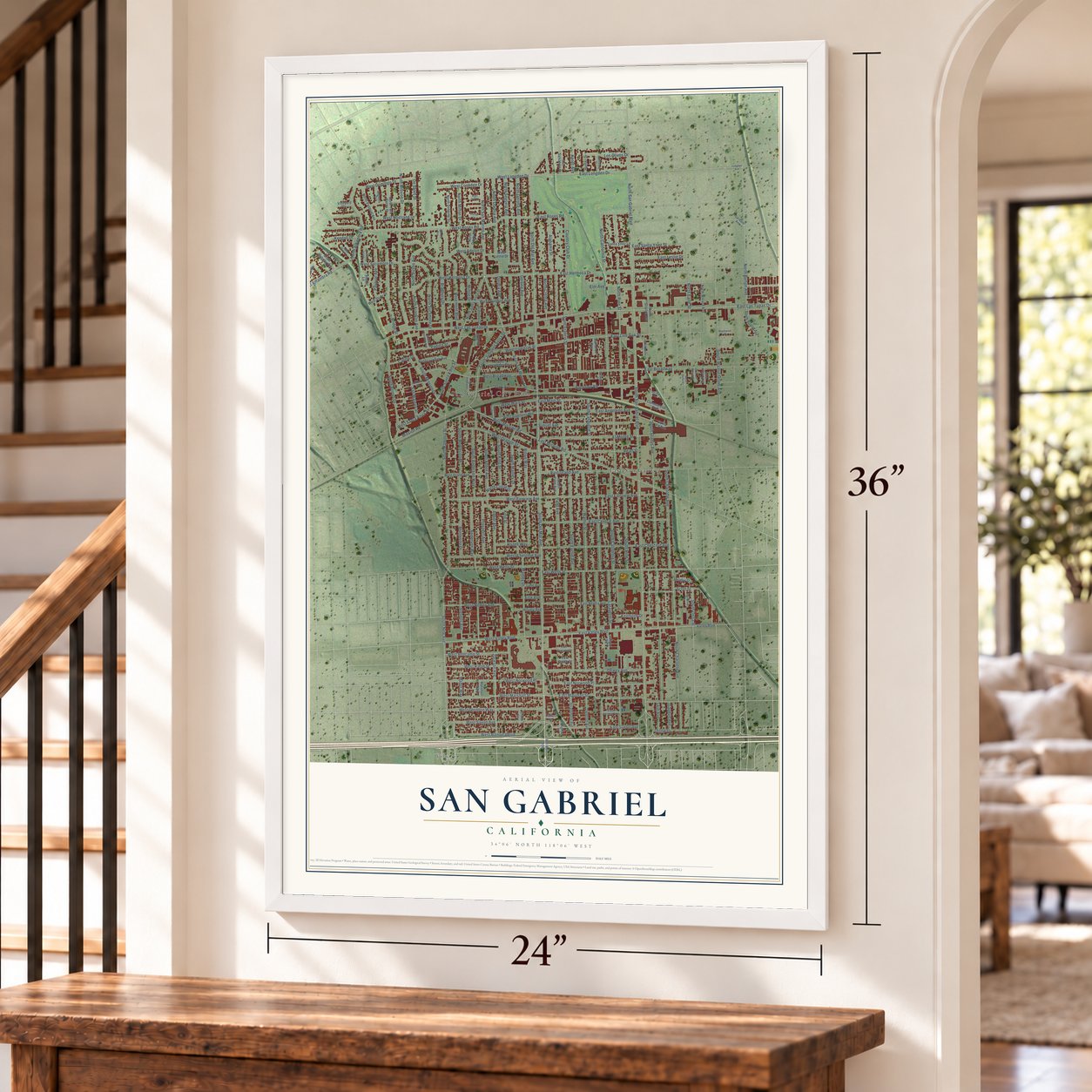
Unframed archival matte, a black wood frame or a white wood frame.
Up close
Geography Worth Displaying
This map was created using accurate cartographic data and authoritative geographic sources, including the U.S. Geological Survey and the Census Bureau. The map brings together terrain, waterways, roads, and building detail. The majority of the streets are labeled, houses are accurately depicted, and the topography is derived from government sources. Combining local data with carefully composed color and shading leads to this beautifully detailed San Gabriel artwork for your wall.
Rather than simply showing street outlines, we’ve included as many of the street names as we could reasonably fit on the map while keeping their names legible. Zoom in on the high resolution preview to see exactly what’s on the map. We truly set out to create a statement piece for anyone who loves San Gabriel. So whether it’s for you, or a gift for someone you love, we hope this map of San Gabriel brings back fond memories.
Read the story behind this map of San Gabriel, California from 2026.

About San Gabriel, California
San Gabriel is a city of 39,568 people in Los Angeles County, in the San Gabriel Valley. The Tongva lived here before the Spanish arrived, and their village of Shevaanga stood where Father Junípero Serra founded Mission San Gabriel Arcángel in 1771. It was the fourth of the twenty-one California missions. A flood wrecked that first site, so in 1776 the mission moved to another Tongva village, Toviscanga.
Through the Spanish and Mexican years the mission helped shape Los Angeles and Californio society, and people still call it the birthplace of the Los Angeles region. California's first U.S. census, taken in 1860, found 586 people in the San Gabriel township, which reached north to today's Pasadena, and by 1870 the count had fallen to 436. San Gabriel became a city on April 24, 1913, with 1,500 residents.
“I believe that when the adaptation of that portion of California to the culture of the grape and the manufacture of wine becomes known and appreciated, the state will become celebrated not only for its gold and grain, but (also) for its fruits and wines.”
- Toypurina's revolt of 1785The Tongva were forced to work at the mission, and they often resisted. When the Spanish missionaries forbade converts to dance or take part in their ceremonies, Toypurina and Nicolás José led eight villages in a major rebellion against the mission in 1785.
- A governor born at the missionPío Pico was born at the mission in 1801 and baptized there that same year. He first held the governor's office for a short time in 1832, took it up once more in 1845 and kept it until the Mexican-American War ended Mexican rule, and later won a seat on the Los Angeles City Council. Pico Rivera is named for him, the last governor of California born in Mexico.
- The town's first bakeryDon Jean Vigare took over an old adobe in 1859, and in the early 1860s he ran it as San Gabriel's first bakery. A tall wall of cactus stood between the bakery and the mission's lime orchard.
- Bells still ringing in 1853That year a company of Army Engineers, including the geologist William P. Blake, came past the mission while scouting a route for a railroad across the continent. Blake found the great vineyards run wild, the fences broken and animals wandering the grounds, yet the bells still rang and the church was still in use. San Gabriel Mission joined the National Register in 1971.
Find your street
Names on the San Gabriel map
Every name below is printed on this map. Look for your street, your school, the park where you played, or the pond down the road.
Places and landmarks3
- San Gabriel City Hall
- East San Gabriel
- Wilmar
Streets and roads200
- South Del Mar Avenue
- East Las Tunas Drive
- North San Marino Avenue
- North Del Mar Avenue
- West Longden Drive
- East Longden Drive
- West Las Tunas Drive
- North San Gabriel Boulevard
- West Mission Road
- South San Gabriel Boulevard
- East Hermosa Drive
- East Mission Road
- North Pine Street
- South California Street
- South Gladys Avenue
- South Euclid Avenue
- South Charlotte Avenue
- East Broadway
- North Burton Avenue
- Walnut Street
- West Roses Road
- South Pine Street
- Manley Drive
- East Valley Boulevard
- South Ramona Street
- Palm Avenue
- Elm Avenue
- North Mission Drive
- South New Avenue
- East Alhambra Road
Show all 200 streets
- North Alhambra Road
- East Wells Street
- East Grand Avenue
- West Hermosa Drive
- Lafayette Street
- North Segovia Avenue
- East Marshall Street
- West Coolidge Drive
- Prospect Avenue
- East Chestnut Avenue
- East Central Avenue
- East Live Oak Street
- Alabama Street
- Abbot Avenue
- West Broadway
- East Fairview Avenue
- El Monte Street
- Rosemont Boulevard
- Dewey Avenue
- West Valley Boulevard
- Country Club Drive
- North Gerona Avenue
- West Marshall Street
- West Norwood Place
- West Glendon Way
- East Angeleno Avenue
- Sunset Avenue
- Agostino Road
- Pearl Street
- South Lafayette Street
- South Mission Drive
- West Adelyn Drive
- West Saxon Avenue
- Bilton Way
- West Wells Street
- West Fairview Avenue
- West Chestnut Avenue
- East Norwood Place
- South Anderson Way
- Mission Road
- North Charlotte Avenue
- Bridge Street
- East Saxon Avenue
- South Junipero Serra Drive
- West Orange Street
- South Montecito Drive
- West Live Oak Street
- Jackson Avenue
- West Sycamore Drive
- North Daroca Avenue
- South Arroyo Drive
- West Main Street
- South Santa Anita Street
- East Main Street
- Scott Street
- Padilla Street
- South Abbot Avenue
- Bradbury Drive
- West Gurdon Avenue
- West Ramona Boulevard
- North Duane Avenue
- West Ralph Street
- North Milton Drive
- West Bencamp Street
- South Walnut Grove Avenue
- East Roses Road
- West Domingo Drive
- West Santa Anita Avenue
- De Sales Street
- Stevens Avenue
- North California Street
- Montecito Drive
- Anderson Way
- West Newby Avenue
- Saint Francis Street
- Milton Drive
- Los Olivos Drive
- North Sycamore Drive
- San Marcos Street
- East Santa Ynez Street
- East Leslie Drive
- South King Street
- Pasqual Avenue
- South Manley Drive
- Gerona Avenue
- North Cresta Avenue
- South Delta Street
- North Circle Drive
- West Nostrand Drive
- North Franklin Avenue
- Denton Avenue
- Hazell Way
- Olney Street
- King Street
- Kendall Drive
- North Earle Street
- Twin Avenue
- Gaydon Avenue
- Carillo Drive
- Hovey Avenue
- Kenmore Drive
- Manor Way
- Daroca Avenue
- Kerns Avenue
- Fisk Avenue
- Del Mar Avenue
- West Angeleno Avenue
- South Burton Avenue
- Clary Avenue
- South San Marino Avenue
- East Newby Avenue
- Strathmore Avenue
- North Santa Anita Street
- West Leslie Drive
- Mount Vernon Drive
- North Pasqual Avenue
- West Grand Avenue
- Santa Fe Avenue
- Valley Boulevard
- West Live Oak Avenue
- North Gladys Avenue
- North Twin Palms Drive
- North Dobbins Drive
- North Willard Avenue
- Commercial Avenue
- Santa Ynez Lane
- North Alahmar Terrace
- Ardmore Drive
- San Salvatore Place
- South Palm Avenue
- Pasqual Lane
- North Doyle Drive
- West Stuhr Drive
- Hunter Drive
- Allegro Square
- Lime Avenue
- De Anza Street
- Abilene Street
- Marshall Way
- Cameron Way
- East Ralph Street
- Vineyard Drive
- Loftus Drive
- Crone Street
- Madera Street
- West Wedgewood Avenue
- North Muscatel Avenue
- California Street
- Mill Creek Lane
- South Alanmay Avenue
- Magnolia Drive
- Winchester Place
- East Glendon Way
- Sunshine Court
- Junipero Place
- North Arroyo Drive
- South Willard Avenue
- Garibaldi Avenue
- Broadway Place
- Brighton Street
- North Delta Street
- East Bencamp Street
- Carmelita Drive
- Warner Lane
- South Del Loma Avenue
- Southwind Court
- West Oak Lane
- Longden Avenue
- Chelsea Way
- Del Rio Avenue
Names are listed as they appear on the printed map. Zoom into the product photos to find them.
The art of mapping a place
How This Map Was Made
Real places. Remarkable detail. Discover the layers that turn geographic data into a map of home.

The view from above
Aerial imagery reveals the character of the land: woodland, open fields, and the patterns of a place.

The shape of the land
Elevation data brings hills, valleys, and subtle changes in the landscape into view.

The details of home
Roads, waterways, and building footprints come together to make the map feel unmistakably local.

Geography becomes art
Considered color, shading, and typography bring the layers together in a map made for your wall.


Process illustrated with Mendon, Massachusetts. Aerial imagery: USDA NAIP. Terrain: USGS 3D Elevation Program. Map details and finished artwork: KNOWOL.
The Details
About This Print
Choose an archival matte print, or a black or white Ayous wood frame. The archival matte print is unframed.
Select your size and finish above to see the matching product image and price.
Materials & Craftsmanship
A contemporary map with the character of a classic atlas, printed on archival matte paper. Optional frames are made from Ayous wood.
Your printed map does not include the watermark shown in the full-map preview.
Shipping & Delivery
Free shipping within the United States. Every print is made to order in the USA.
Buying a gift? Add a note in your cart and we'll include it. We never put prices in the package.
Prints ship within 2 to 3 business days. Allow 7 to 10 days total from ordering for delivery. Timing may vary during holidays or periods of high order volume.
Read our shipping policy.
Returns and damaged prints
Each print is made to order. Change-of-mind refunds are not available after production.
If your print arrives damaged, misprinted or incorrect, contact support@knowol.com within 30 days of receiving it. Include your order number, photos and a description of the issue.
Read our full refund and replacement policy. For questions about your order, email support@knowol.com.
Find your town
Looking for another city?
Find a map of home in our California collection, or any town in the country.
Nearby
Maps of towns near San Gabriel
Know someone from one of these towns? Their map makes a great gift.
 East San Gabriel
, California
From $39.99See the map
 Rosemead
, California
From $39.99See the map
 San Marino
, California
From $39.99See the map
More maps nearby: Alhambra, Temple City, San Pasqual, East Pasadena and South San Gabriel.