
Search for another town

Free U.S. delivery 7 to 10 days after you order
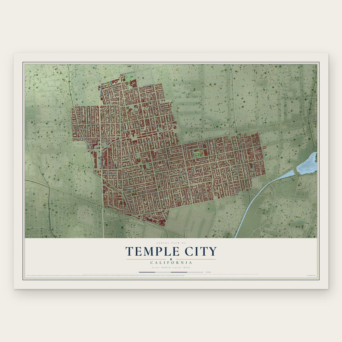
Temple City, California Map Art
Building by building, with labeled streets and shaded relief.
12" x 18" Archival Matte Print
A Map of Home. A Work of Art.
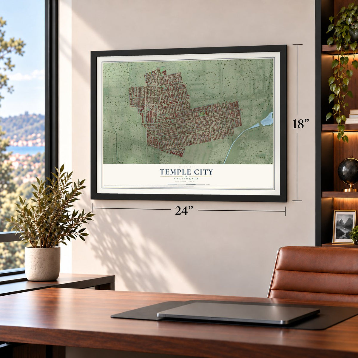
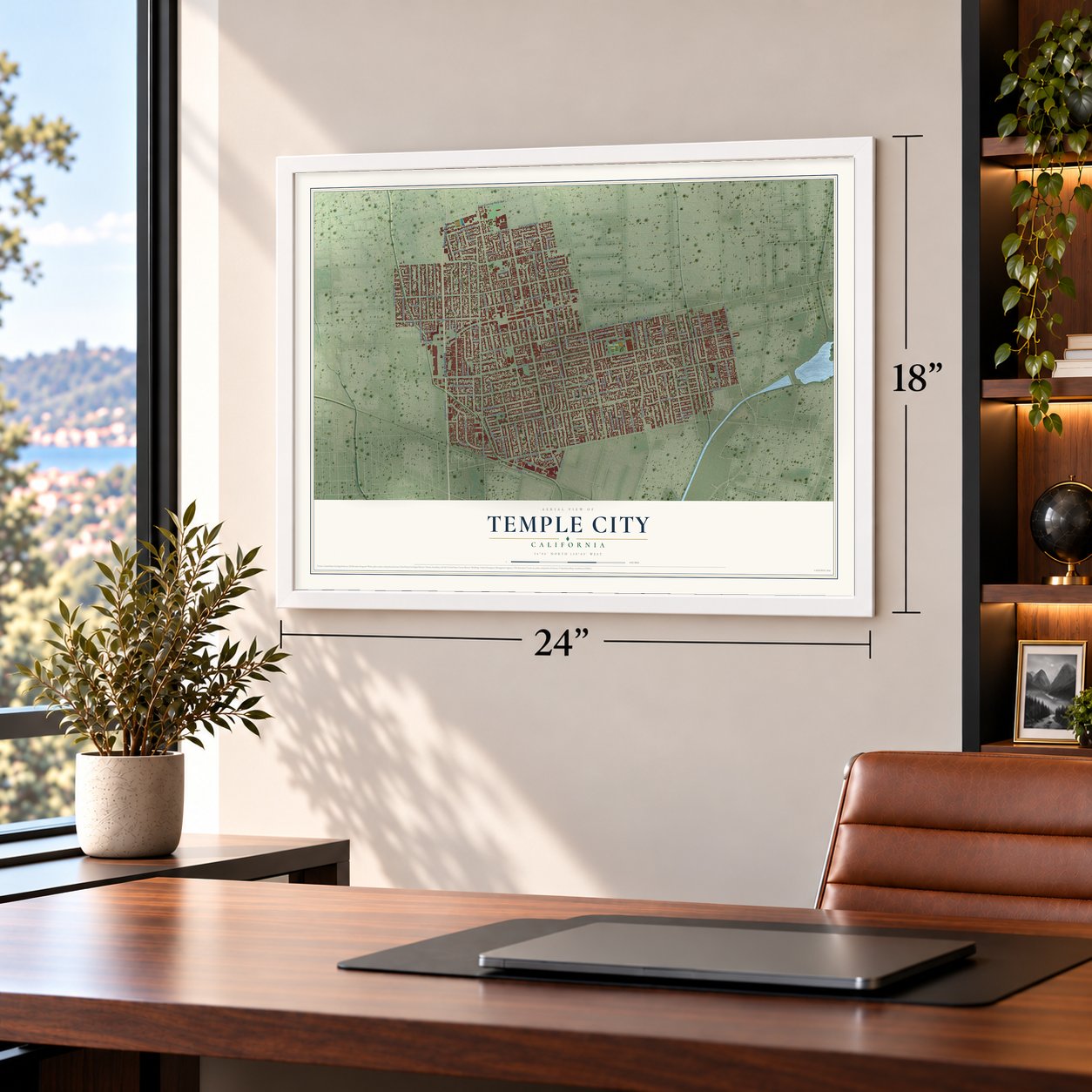
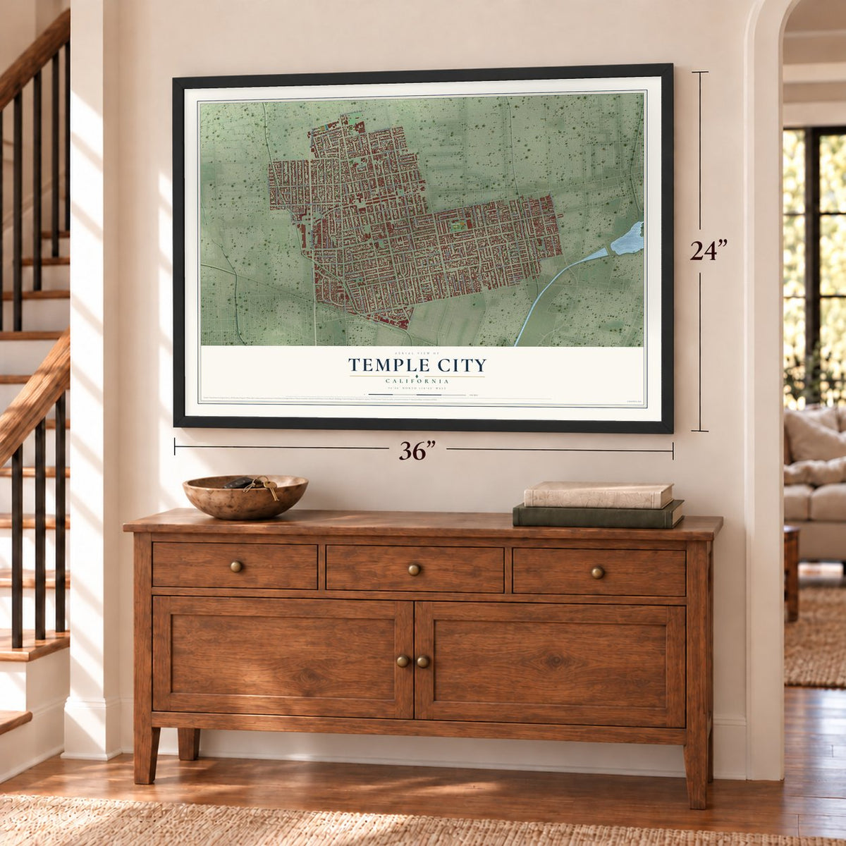
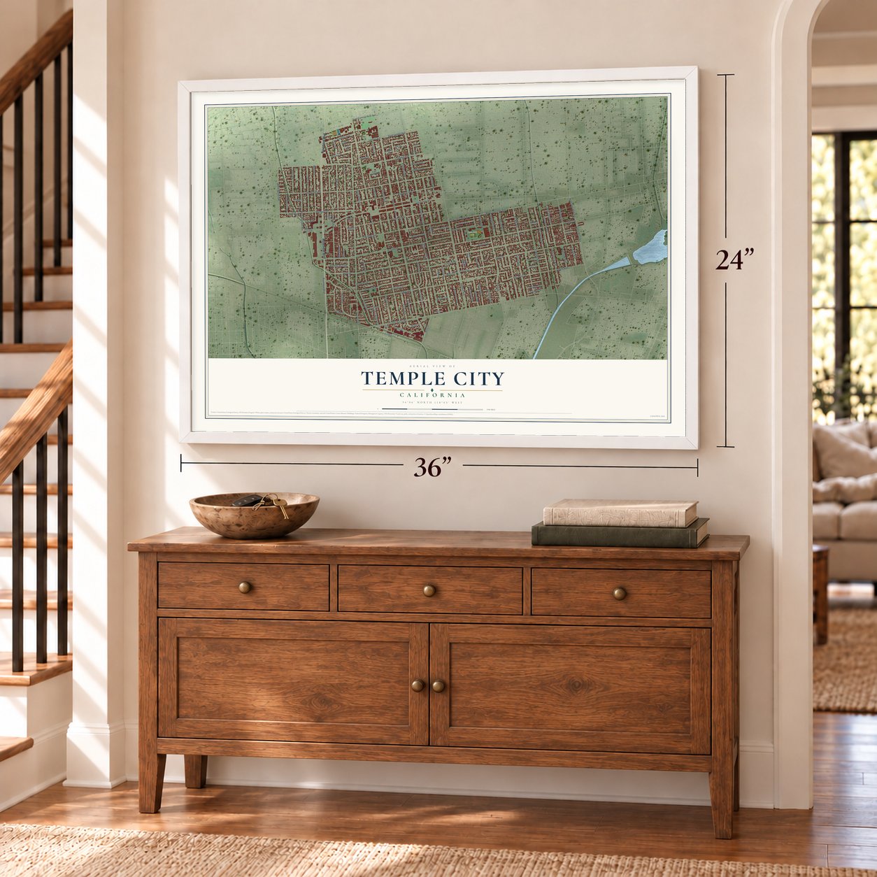
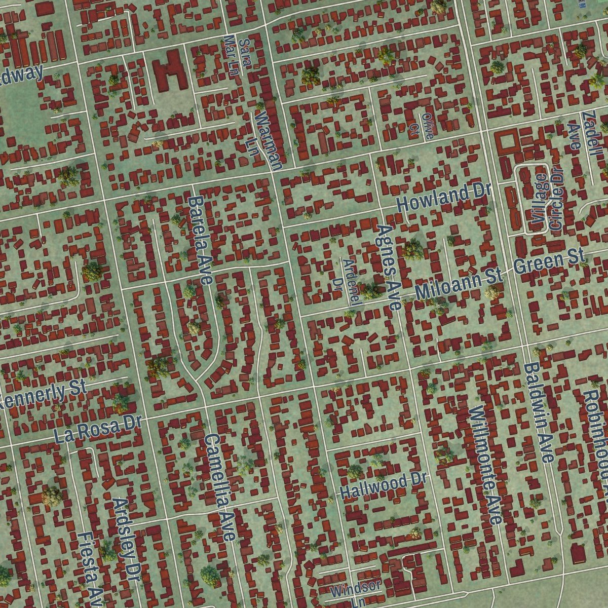
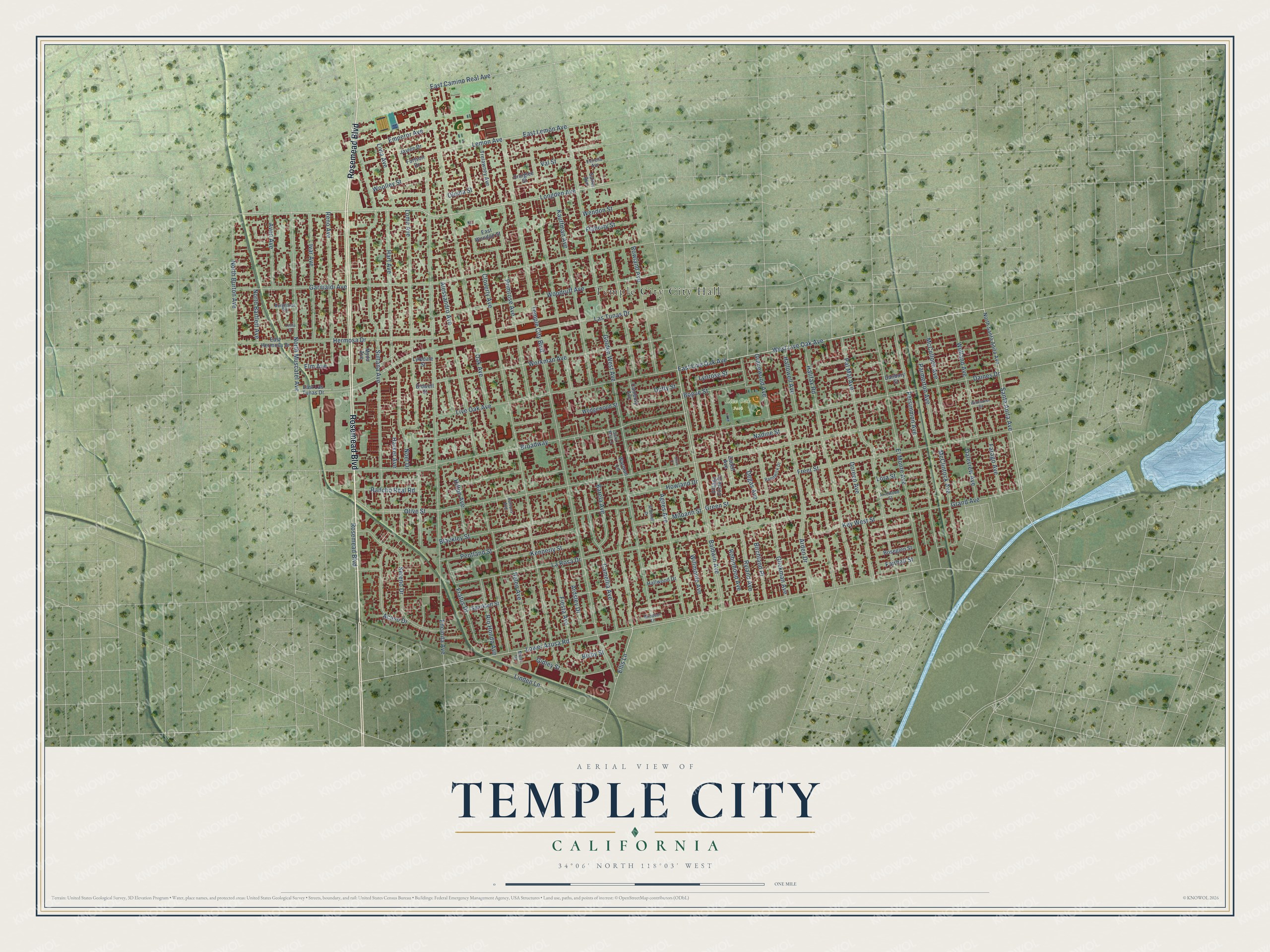
Explore Temple City, California from a whole new perspective. Created using aerial imagery and detailed geographic data, this map captures Temple City building by building, with labeled streets, familiar landmarks, and shaded topographical relief that highlights the natural contours of the landscape.
Combining modern data with the timeless character of a vintage atlas, this map is just as interesting up close as it is beautiful on the wall. Whether you grew up in Temple City, spent memorable years there, or call it home today, this unique map is a great way to celebrate a place that means something to you. Zoom in on the preview to look for your street, and then order a print to put your memories on the wall.
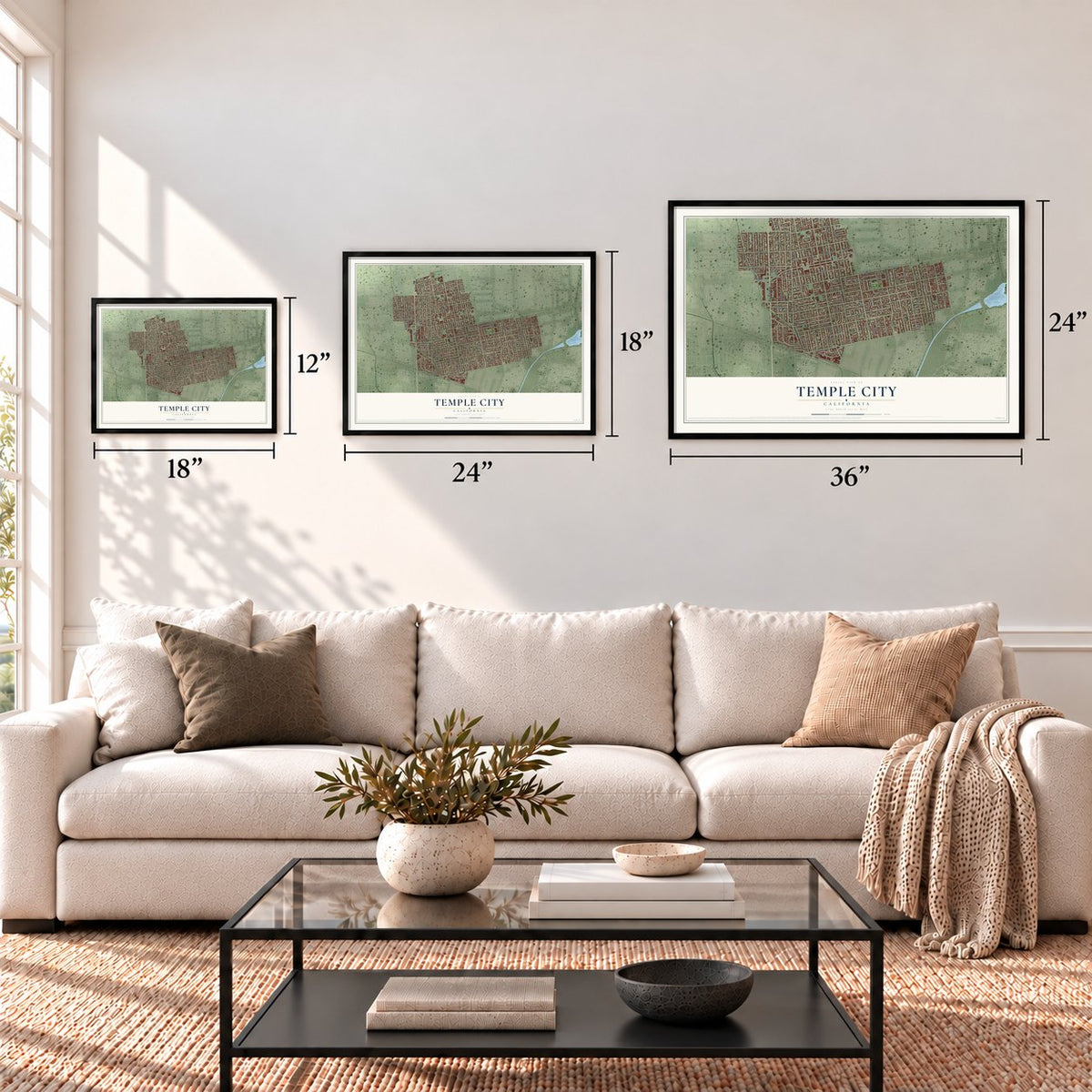
Three ways to hang it
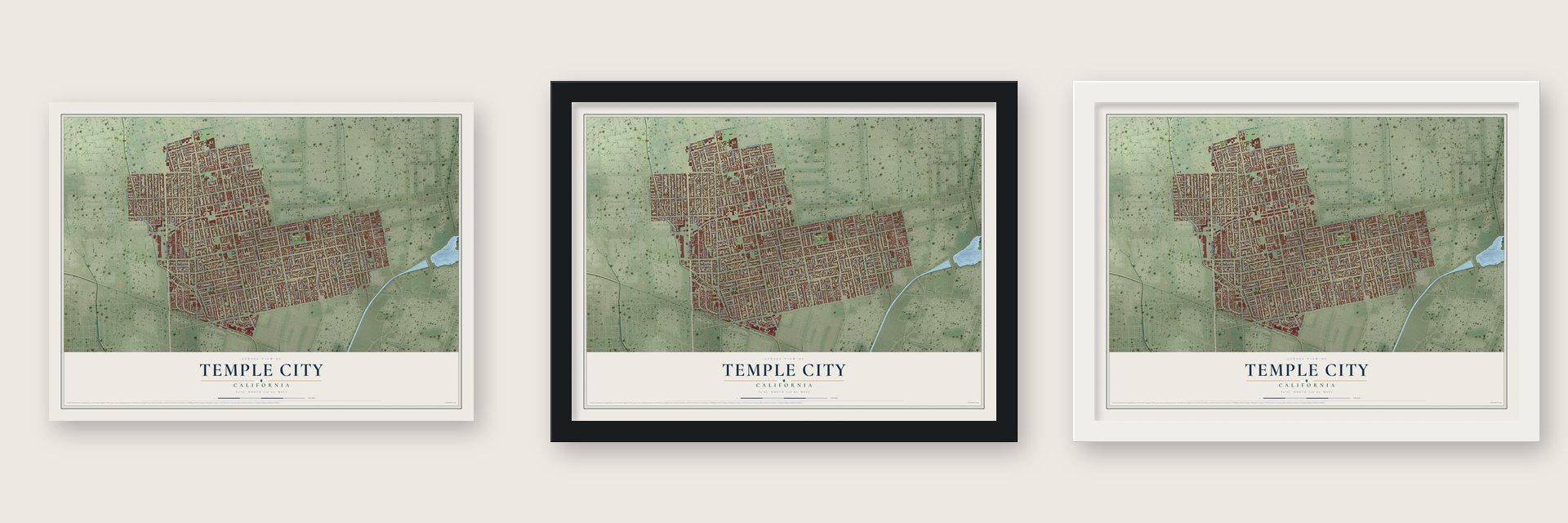
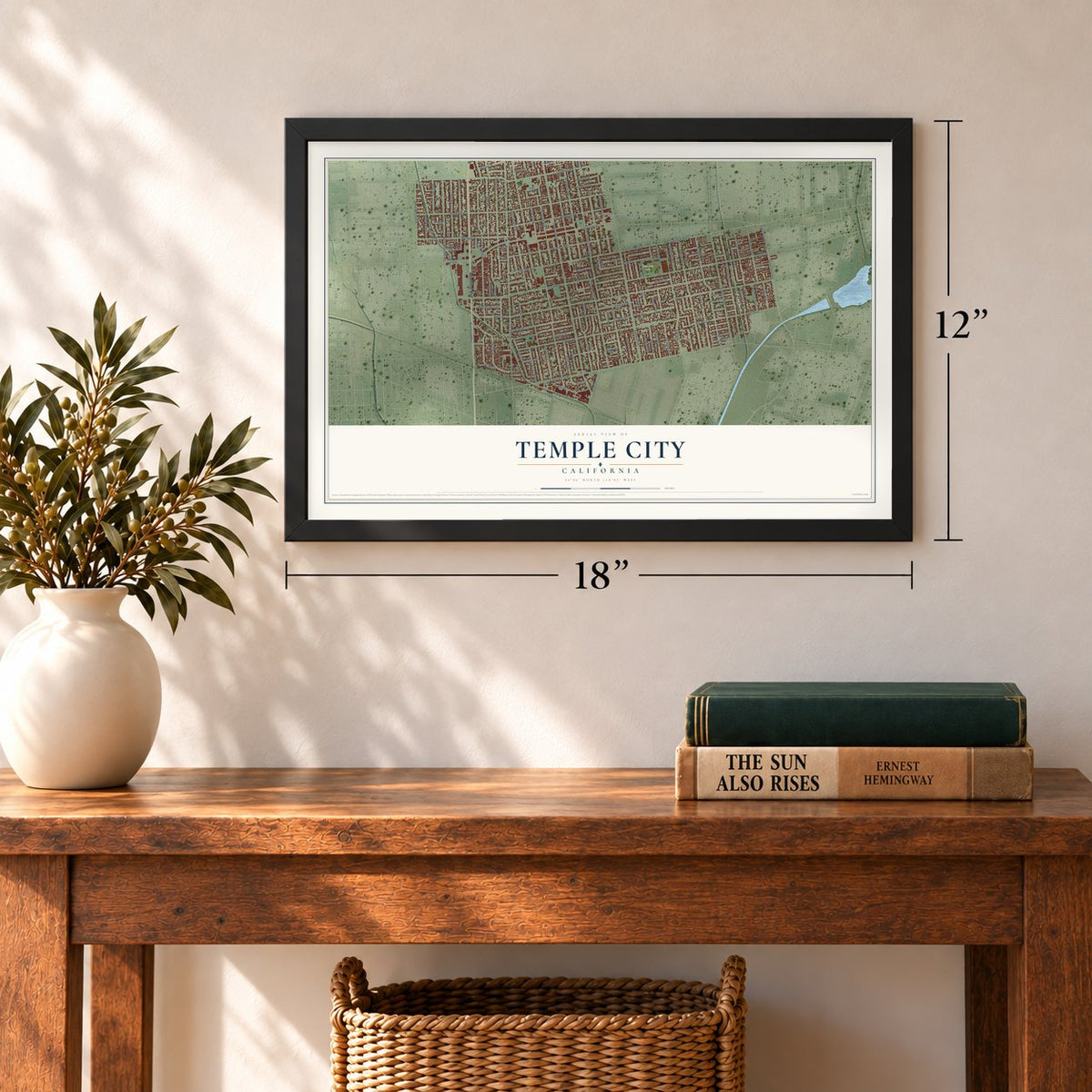
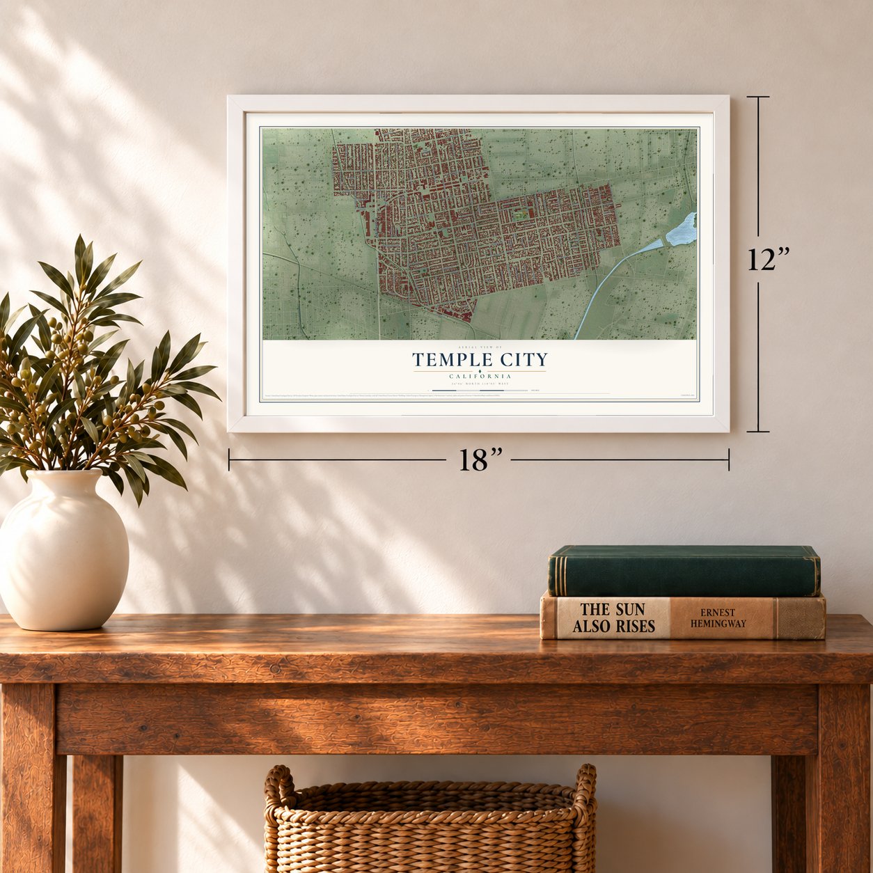
Unframed archival matte, a black wood frame or a white wood frame.
Up close
Geography Worth Displaying
This map was created using accurate cartographic data and authoritative geographic sources, including the U.S. Geological Survey and the Census Bureau. The map brings together terrain, waterways, roads, and building detail. The majority of the streets are labeled, houses are accurately depicted, and the topography is derived from government sources. Combining local data with carefully composed color and shading leads to this beautifully detailed Temple City artwork for your wall.
Rather than simply showing street outlines, we’ve included as many of the street names as we could reasonably fit on the map while keeping their names legible. Zoom in on the high resolution preview to see exactly what’s on the map. We truly set out to create a statement piece for anyone who loves Temple City. So whether it’s for you, or a gift for someone you love, we hope this map of Temple City brings back fond memories.
Read the story behind this map of Temple City, California from 2026.
Find your street
Names on the Temple City map
Every name below is printed on this map. Look for your street, your school, the park where you played, or the pond down the road.
Places and landmarks2
- Temple City City Hall
- Live Oak Park
Streets and roads132
- Rosemead Boulevard
- Longden Avenue
- Baldwin Avenue
- West Live Oak Avenue
- Santa Anita Avenue
- East Lemon Avenue
- Lemon Avenue
- Ellis Lane
- Lower Azusa Road
- Broadway
- East Camino Real Avenue
- Temple City Boulevard
- Olive Street
- Golden West Avenue
- Encinita Avenue
- Sultana Avenue
- Daines Drive
- Las Tunas Drive
- Cloverly Avenue
- La Rosa Drive
- Garibaldi Avenue
- Loma Avenue
- Alessandro Avenue
- Oak Avenue
- Kauffman Avenue
- Camellia Avenue
- Agnes Avenue
- Pal Mal Avenue
- Live Oak Avenue
- Halifax Road
Show all 132 streets
- Workman Avenue
- Freer Street
- Persimmon Avenue
- El Monte Avenue
- Blackley Street
- Primrose Avenue
- Woodruff Avenue
- East Live Oak Avenue
- Bogue Street
- Rowland Avenue
- Arden Drive
- Key West Street
- North Muscatel Avenue
- Nadine Street
- Glickman Avenue
- Pentland Street
- Hermosa Drive
- Hart Avenue
- Sereno Drive
- Reno Avenue
- North Burton Avenue
- Hallowell Avenue
- Fratus Drive
- Barela Avenue
- Ryland Avenue
- Ivar Avenue
- Emperor Avenue
- Robinhood Avenue
- McCulloch Avenue
- Doreen Avenue
- Noel Drive
- Lynrose Street
- Welland Avenue
- Grand Avenue
- Rio Hondo Avenue
- Linden Lane
- Miloann Street
- Avon Avenue
- Heleo Avenue
- Olema Street
- McClintock Avenue
- Kennerly Street
- Woolley Street
- Fiesta Avenue
- Willmonte Avenue
- Val Street
- Flaherty Street
- Green Street
- Gidley Street
- Farago Avenue
- Howland Drive
- Livia Avenue
- Parmerton Avenue
- Gracewood Avenue
- Rancho Real Road
- Wendon Street
- North Bartlett Avenue
- Daleview Avenue
- Birchland Place
- Duffy Street
- Ardsley Drive
- Hilton Avenue
- Elm Avenue
- Lora Street
- Acaso Drive
- Degas Avenue
- Harker Avenue
- Fairhall Street
- Bisby Street
- Village Circle Drive
- Sparklett Street
- Wedgewood Street
- Hallwood Drive
- East Las Tunas Drive
- Danbury Street
- North Santa Anita Avenue
- Craiglee Street
- East Hermosa Drive
- Cambury Avenue
- Roseglen Street
- Trelawney Avenue
- Lyledale Street
- Jaylee Drive
- East Wendon Street
- Zadell Avenue
- Myda Avenue
- Salter Avenue
- Fortson Drive
- Warman Lane
- Bidwell Street
- Randwick Drive
- Arrowood Street
- Ardenel Drive
- Sara Mar Lane
- Burghardt Road
- Windsor Lane
- Estrella Avenue
- Buttons Avenue
- Miller Drive
- Wildflower Road
- Leslie Drive
- Olive Court
Names are listed as they appear on the printed map. Zoom into the product photos to find them.
About Temple City, California
Temple City is a city of 36,494 people in Los Angeles County, in the west San Gabriel Valley at the foot of the San Gabriel Mountains. On May 30, 1923, Walter P. Temple bought 400 acres east of San Gabriel, ground that had once belonged to Lucky Baldwin's Rancho Santa Anita. He wanted a town where ordinary families could afford to own a home, so he cut the land into lots and set aside a park on Las Tunas Drive.
At first the new town was called City of Temple. In 1926 Postmaster General Harry Stewart New ordered a change, because letters meant for Temple kept going by mistake to Tempe, near Phoenix, so the town became Temple City. It stayed a city only in name until its population boomed after World War II, and when residents incorporated on May 25, 1960, its official name became the City of Temple City.
- Streets named for friendsWalter Temple gave many of the first streets the names of his friends and relatives: Workman, Kauffman, Rowland, Temple and Agnes. Bond issues he started paid to pave the streets and bring in electricity.
- A rail depot by the parkTemple asked the Pacific Electric Railway Company to stretch its Los Angeles to Alhambra line out to a depot beside Temple City Park. The railway helped the town grow steadily, and statues of railcar passengers along Rosemead Boulevard honor it today.
- A jeweler as first mayorWhen the city incorporated in 1960, Merrill Fitzjohn was appointed its first mayor. He had founded Fitzjohn Jewelers on Las Tunas Drive and was its original owner.
Keep exploring California
Temple City is one of 1,990 California towns we've mapped. Every dot on the map is a print of its own.
The search covers every state, California first.
Near Temple City
Order 2 or more town maps and save 10%. Shown in the size and finish you picked above, so they hang as a set.
- East San Gabriel 12" x 18" / Archival Matte Print $39.99
- North El Monte 12" x 18" / Archival Matte Print $39.99
- San Gabriel 12" x 18" / Archival Matte Print $39.99


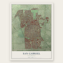
More maps nearby: Arcadia, El Monte, East Pasadena, Rosemead and Mayflower Village.
The art of mapping a place
How This Map Was Made
Real places. Remarkable detail. Discover the layers that turn geographic data into a map of home.

The view from above
Aerial imagery reveals the character of the land: woodland, open fields, and the patterns of a place.

The shape of the land
Elevation data brings hills, valleys, and subtle changes in the landscape into view.

The details of home
Roads, waterways, and building footprints come together to make the map feel unmistakably local.

Geography becomes art
Considered color, shading, and typography bring the layers together in a map made for your wall.


Process illustrated with Mendon, Massachusetts. Aerial imagery: USDA NAIP. Terrain: USGS 3D Elevation Program. Map details and finished artwork: KNOWOL.
The Details
About This Print
Choose an archival matte print, or a black or white Ayous wood frame. The archival matte print is unframed.
Select your size and finish above to see the matching product image and price.
Materials & Craftsmanship
A contemporary map with the character of a classic atlas, printed on archival matte paper. Optional frames are made from Ayous wood.
Your printed map does not include the watermark shown in the full-map preview.
Shipping & Delivery
Free shipping within the United States. Every print is made to order in the USA.
Buying a gift? Add a note in your cart and we'll include it. We never put prices in the package.
Prints ship within 2 to 3 business days. Allow 7 to 10 days total from ordering for delivery. Timing may vary during holidays or periods of high order volume.
Read our shipping policy.
Returns and damaged prints
Each print is made to order. Change-of-mind refunds are not available after production.
If your print arrives damaged, misprinted or incorrect, contact support@knowol.com within 30 days of receiving it. Include your order number, photos and a description of the issue.
Read our full refund and replacement policy. For questions about your order, email support@knowol.com.