
Search for another town
Free U.S. delivery 7 to 10 days after you order
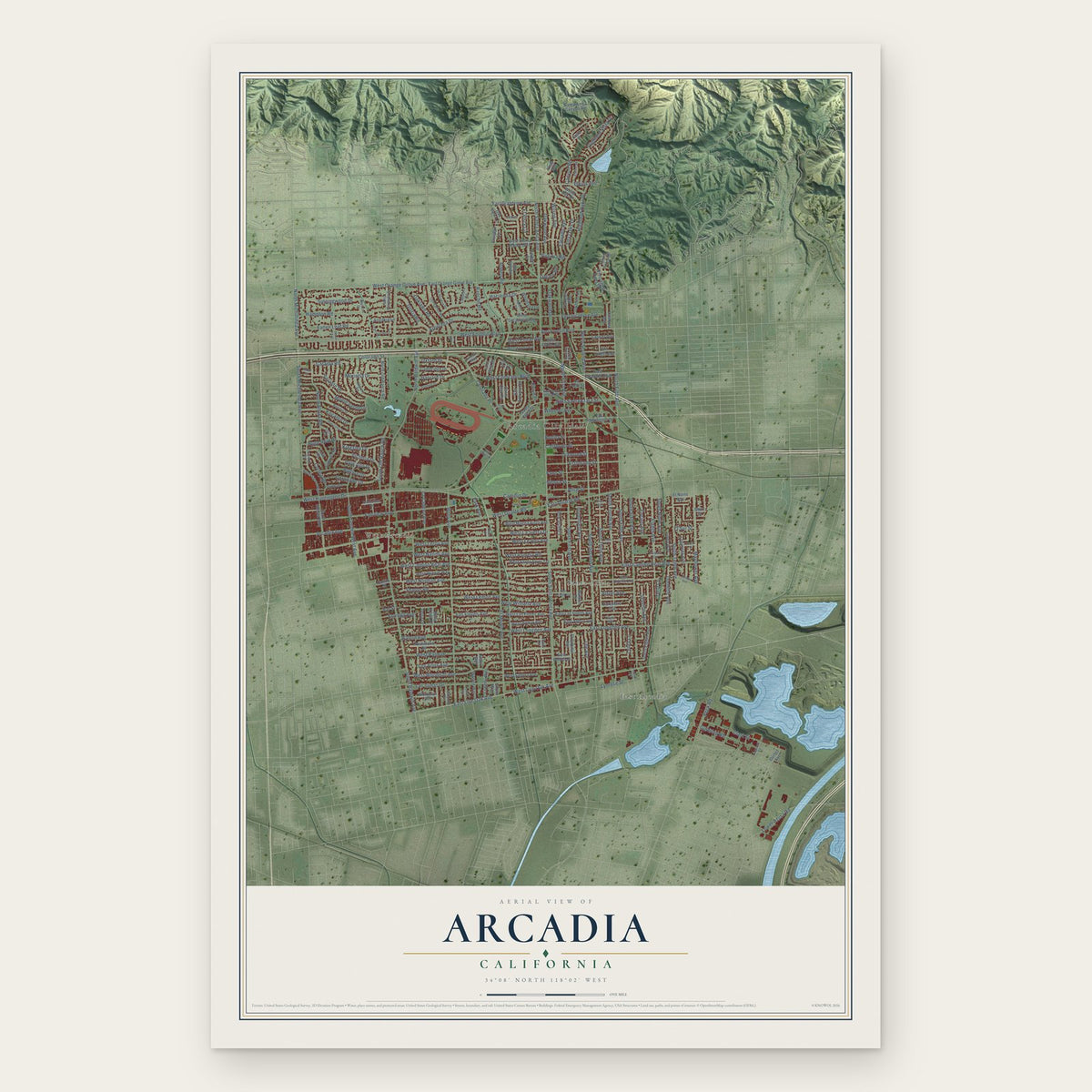
Arcadia, California Map Art
Building by building, with labeled streets and shaded relief.
12" x 18" Archival Matte Print
A Map of Home. A Work of Art.
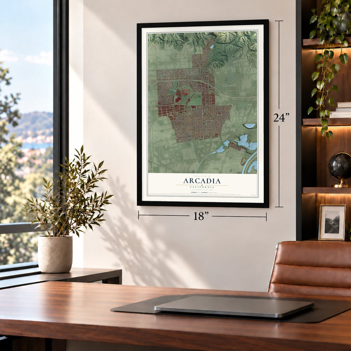
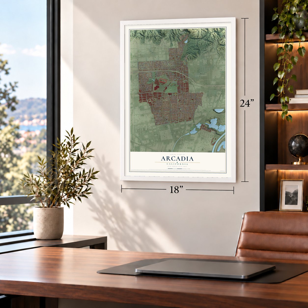
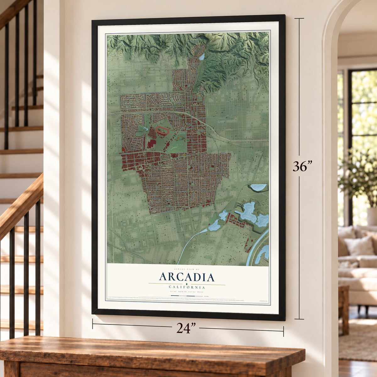
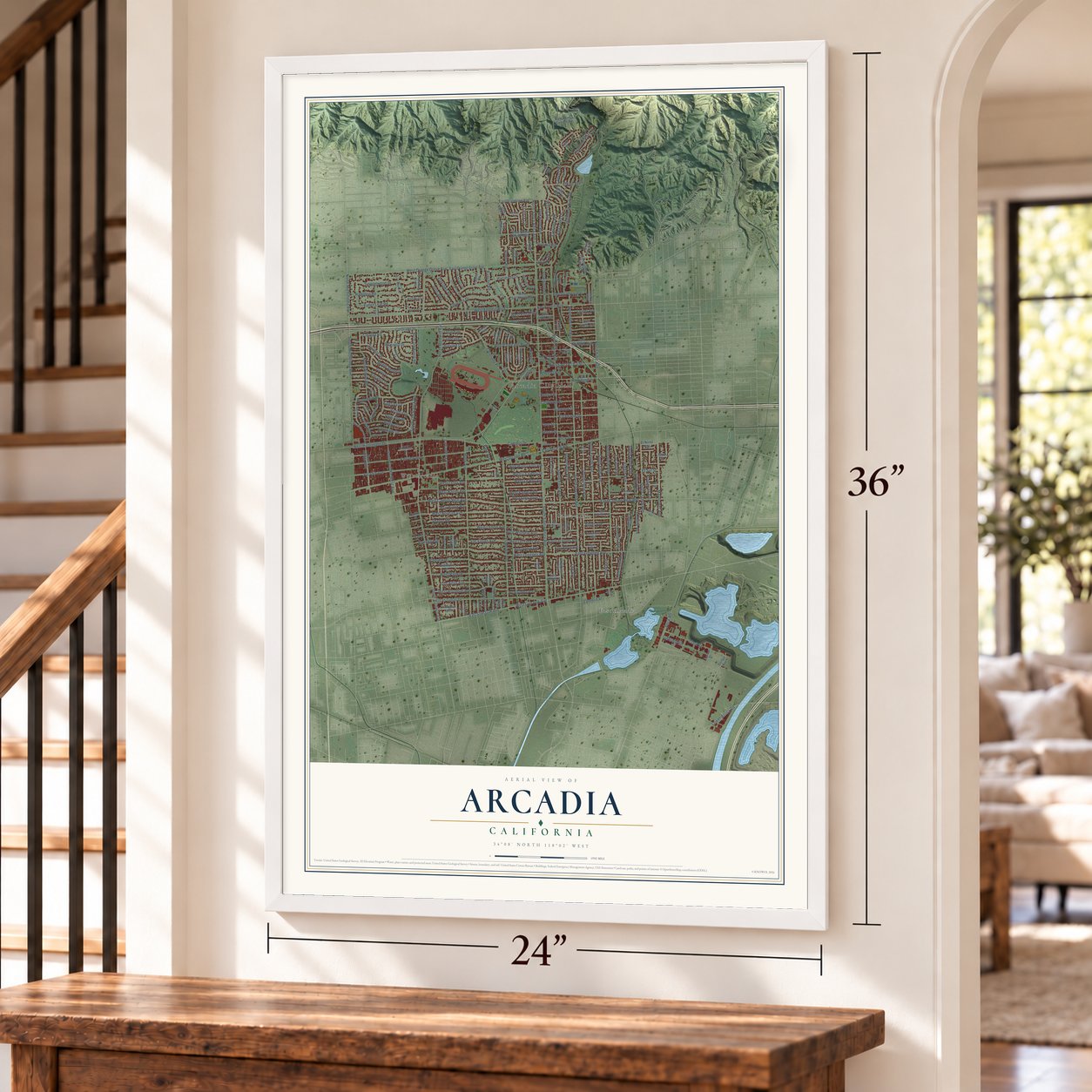
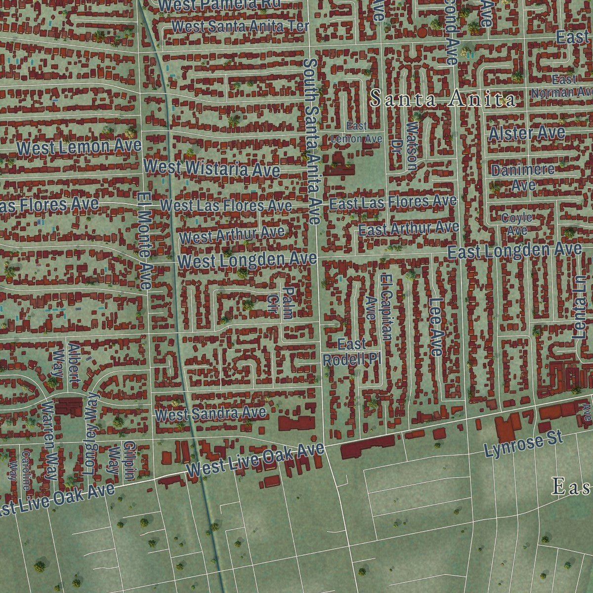
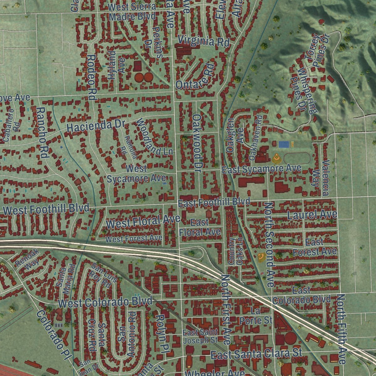
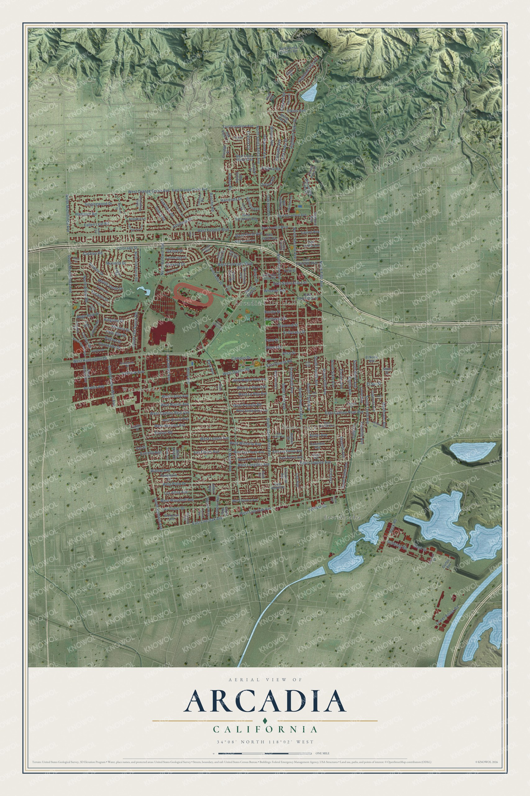
Explore Arcadia, California from a whole new perspective. Created using aerial imagery and detailed geographic data, this map captures Arcadia building by building, with labeled streets, familiar landmarks, and shaded topographical relief that highlights the natural contours of the landscape.
Combining modern data with the timeless character of a vintage atlas, this map is just as interesting up close as it is beautiful on the wall. Whether you grew up in Arcadia, spent memorable years there, or call it home today, this unique map is a great way to celebrate a place that means something to you. Zoom in on the preview to look for your street, and then order a print to put your memories on the wall.
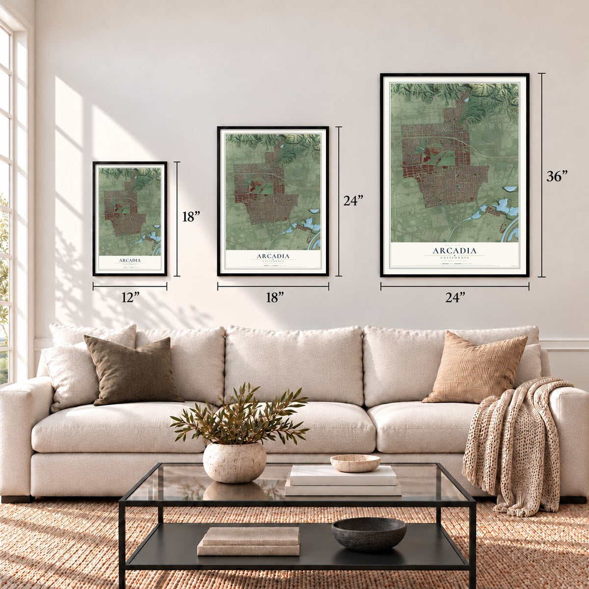
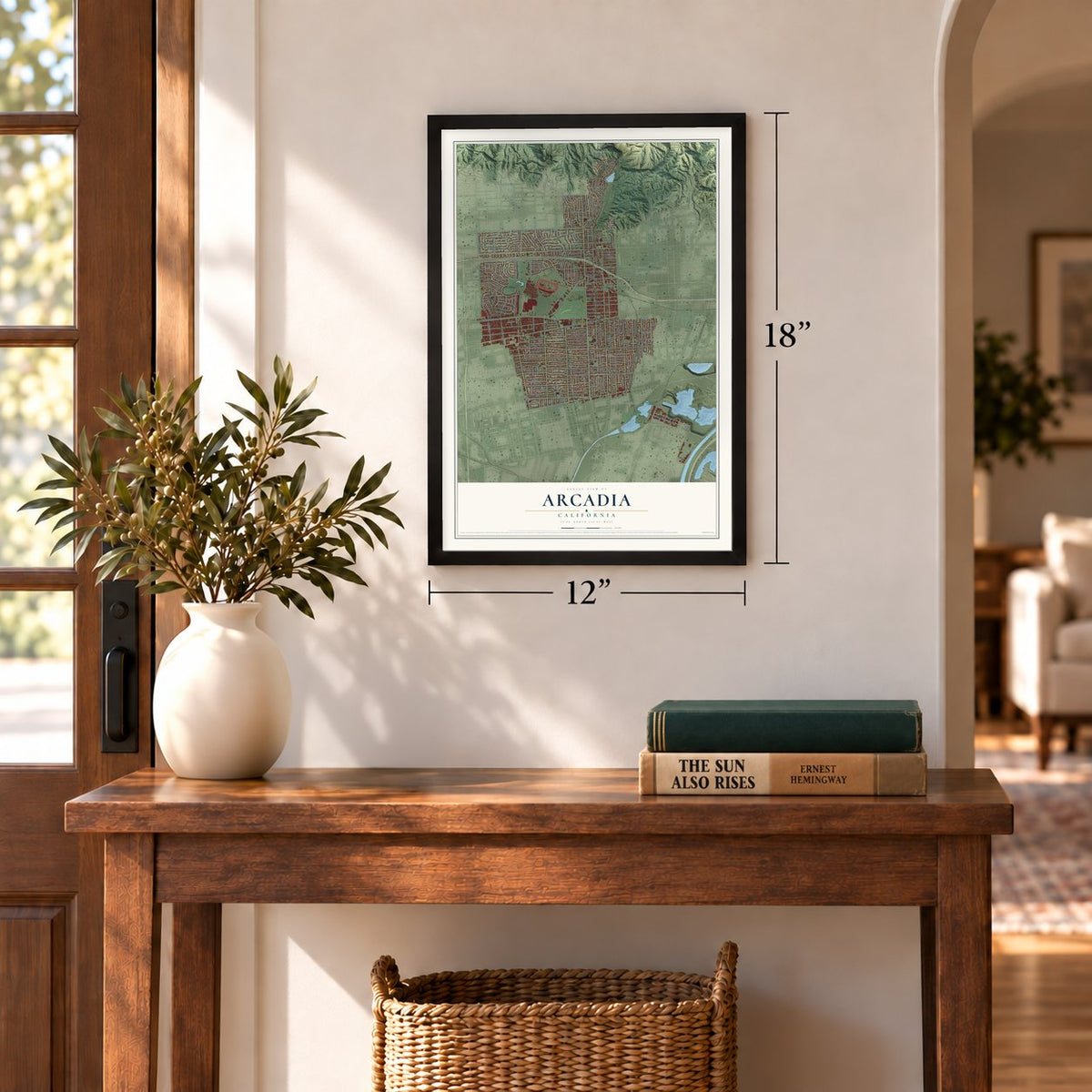
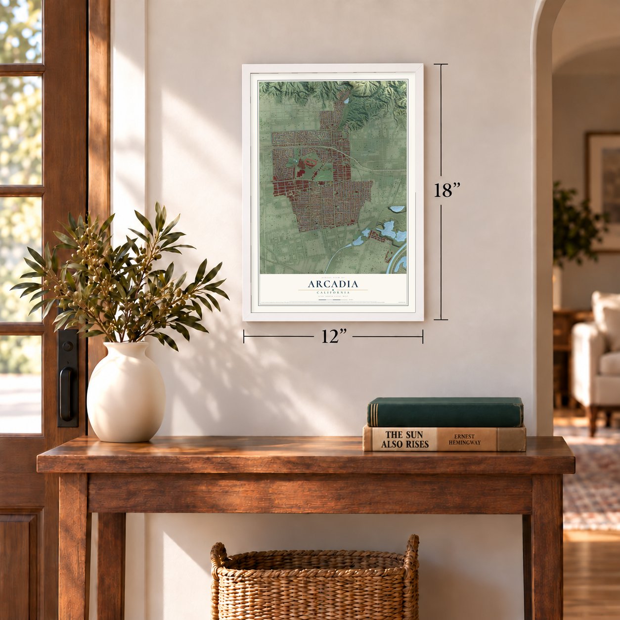
Three ways to hang it
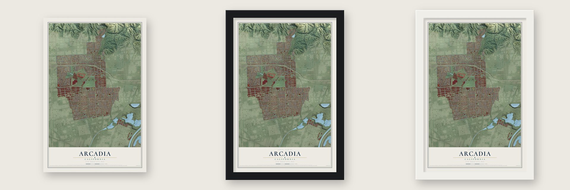
Unframed archival matte, a black wood frame or a white wood frame.
Up close
Geography Worth Displaying
This map was created using accurate cartographic data and authoritative geographic sources, including the U.S. Geological Survey and the Census Bureau. The map brings together terrain, waterways, roads, and building detail. The majority of the streets are labeled, houses are accurately depicted, and the topography is derived from government sources. Combining local data with carefully composed color and shading leads to this beautifully detailed Arcadia artwork for your wall.
Rather than simply showing street outlines, we’ve included as many of the street names as we could reasonably fit on the map while keeping their names legible. Zoom in on the high resolution preview to see exactly what’s on the map. We truly set out to create a statement piece for anyone who loves Arcadia. So whether it’s for you, or a gift for someone you love, we hope this map of Arcadia brings back fond memories.
Read the story behind this map of Arcadia, California from 2026.
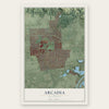
Find your street
Names on the Arcadia map
Every name below is printed on this map. Look for your street, your school, the park where you played, or the pond down the road.
Places and landmarks4
- Arcadia City Hall
- East Arcadia
- Santa Anita
- West Arcadia
Streets and roads227
- West Huntington Drive
- South Santa Anita Avenue
- South Second Avenue
- East Live Oak Avenue
- South Fifth Avenue
- North Santa Anita Avenue
- Colorado Street
- West Live Oak Avenue
- North Second Avenue
- East Duarte Road
- West Colorado Boulevard
- North Michillinda Avenue
- North Fifth Avenue
- West Duarte Road
- East Santa Clara Street
- Harvard Drive
- South Baldwin Avenue
- West Foothill Boulevard
- South Golden West Avenue
- West Norman Avenue
- Lower Azusa Road
- Estrella Avenue
- West Orange Grove Avenue
- South Third Avenue
- Highland Oaks Drive
- Holly Avenue
- El Monte Avenue
- South First Avenue
- West Naomi Avenue
- West Camino Real Avenue
Show all 227 streets
- Fairview Avenue
- West Lemon Avenue
- South Sixth Avenue
- West Longden Avenue
- South Fourth Avenue
- East Camino Real Avenue
- West Palm Drive
- West Woodruff Avenue
- Las Tunas Drive
- South Michillinda Avenue
- West Wistaria Avenue
- North Baldwin Avenue
- Hampton Road
- Rodeo Road
- Campus Drive
- Arcadia Avenue
- Canyon Road
- Sharon Road
- Walnut Avenue
- Hacienda Drive
- Louise Avenue
- East Longden Avenue
- Arbolada Drive
- West Le Roy Avenue
- Las Flores Avenue
- Greenfield Avenue
- Singingwood Drive
- Hugo Reid Drive
- South Tenth Avenue
- Eighth Avenue
- North First Avenue
- Mayflower Avenue
- Clark Street
- Fallen Leaf Road
- Wilson Avenue
- Volante Drive
- Monte Verde Drive
- Genoa Street
- California Street
- El Dorado Street
- North Altura Road
- Rancho Road
- Balboa Drive
- West Pamela Road
- Alta Oaks Drive
- Colorado Place
- Catalpa Road
- South Old Ranch Road
- Lee Avenue
- Diamond Street
- Coronado Drive
- Elevado Avenue
- Encanto Drive
- Goldring Road
- Oakwood Avenue
- Alice Street
- Peck Road
- Bonita Street
- Elkins Avenue
- Cortez Road
- West La Sierra Drive
- Highland Vista Drive
- Oakwood Drive
- Oxford Drive
- Victoria Drive
- Laurel Avenue
- Fano Street
- Kingsley Drive
- Gloria Road
- Palo Alto Drive
- Seventh Avenue
- Lynrose Street
- Murietta Drive
- El Vista Circle
- Oaklawn Road
- La Cadena Avenue
- Encino Avenue
- West Leroy Avenue
- West Floral Avenue
- Doolittle Avenue
- Los Altos Avenue
- South Ninth Avenue
- Alster Avenue
- Wheeler Avenue
- Lenta Lane
- Virginia Road
- Rolyn Place
- Ontare Road
- Park Avenue
- El Sur Street
- Tulip Lane
- Val Street
- East Huntington Drive
- East Colorado Boulevard
- Santa Clara Street
- East Foothill Boulevard
- Santa Anita Canyon Road
- East Orange Grove Avenue
- West Las Flores Avenue
- East Grandview Avenue
- West Winnie Way
- South Eighth Avenue
- East Las Flores Avenue
- West Magna Vista Avenue
- Loganrita Avenue
- Longley Way
- East Sycamore Avenue
- North Old Ranch Road
- Santa Cruz Road
- East Forest Avenue
- East Floral Avenue
- Whispering Pines Drive
- Warren Way
- South Sunset Boulevard
- East Rodell Place
- Cabrillo Road
- West Sierra Madre Boulevard
- West Santa Anita Terrace
- La Porte Street
- Rosemarie Drive
- El Capitan Avenue
- Cambridge Drive
- West Arthur Avenue
- West Sandra Avenue
- West Sycamore Avenue
- Oakglen Avenue
- East Arthur Avenue
- Perkins Drive
- Workman Avenue
- White Oak Drive
- Watson Drive
- El Norte Avenue
- San Antonio Road
- Danimere Avenue
- Woodland Lane
- Hyland Avenue
- Valencia Way
- Bella Vista Drive
- Linda Way
- Oak View Lane
- Anoakia Lane
- Torrey Pines Drive
- Palm Circle
- Callita Street
- Terra Lane
- Claridge Street
- Albert Way
- Durfee Avenue
- Gilpin Way
- Vista Avenue
- Cielo Place
- Short Street
- East Norman Avenue
- San Carlos Road
- Paloma Drive
- Vaquero Road
- San Luis Rey Road
- Columbia Road
- East Saint Joseph Street
- Elkins Place
- Drake Road
- North Sunset Boulevard
- Andrea Lane
- West Forest Avenue
- Portola Drive
- Coyle Avenue
- Glencoe Drive
- Oakhaven Road
- Santa Margarita Drive
- Caballero Road
- Winthrop Avenue
- Santa Maria Road
- Southview Road
- Corto Road
- Renoak Way
- Pamela Circle
- Country Oaks Lane
- Ewell Lane
- East Lemon Avenue
- Panorama Drive
- Dexter Avenue
- Carriage House Drive
- Altern Street
- Leda Lane
- Jeffries Avenue
- Stanford Drive
- Oak Meadow Road
- Ramona Road
- Lucile Street
- Caroline Way
- Cogswell Road
- Civic Center Place
- San Juan Drive
- Lenore Avenue
- Altura Terrace
- Asder Lane
- Ellen Way
Names are listed as they appear on the printed map. Zoom into the product photos to find them.
About Arcadia, California
Arcadia is a city of 56,681 people in Los Angeles County, at the foot of the San Gabriel Mountains. The Tongva people lived here for over 8,000 years and had a village called Alyeupkigna. In 1845 Mexico granted Rancho Santa Anita to Hugo Reid and Victoria Bartolomea Comicrabit, his wife, who was Tongva, and Reid sold it to Henry Dalton in 1847.
After several more owners, Elias Jackson "Lucky" Baldwin paid $200,000 for 8,000 acres of the rancho in 1875. He farmed the land and planted orchards. In 1885 a railroad he had invested in opened through the ranch, so a town became practical. Arcadia was laid out in 1888, Baldwin opened the 35-room Hotel Oakwood in 1889, and in 1903 the town became a city with Baldwin as its first mayor.
“By Gads! This is paradise!”
- Baldwin's Queen Anne CottageLucky Baldwin built the Queen Anne Cottage for himself and his fourth wife in 1885 and 1886. In 1947, 111 acres at the heart of his ranch went to the state and the county and became the Los Angeles County Arboretum and Botanic Garden. The cottage still stands there, and the Queen Anne Cottage and Coach Barn joined the National Register in 1980.
- Racing returns in 1934Baldwin ran an early racetrack in Arcadia until California outlawed horse racing in 1909. During World War I the Army trained balloon observers at Ross Field on the same ground. Once racing was legal again, Santa Anita Park opened in December 1934, with buildings by architect Gordon Kaufmann.
- Santa Anita Assembly CenterIn 1942 the racetrack became a holding site for Japanese Americans forced from their homes. Between late March and the close of October that year, more than 18,000 people lived there, 8,500 of them in horse stalls. They were then sent inland to camps such as Manzanar and Tule Lake. The site is California Historical Landmark #934.
- Anoakia, 1913 to 2000On land she inherited, Lucky's daughter Anita Baldwin put up Anoakia, a mansion of 50 rooms with murals by Maynard Dixon. After she died in 1939 it became a school, which moved to Duarte in 1990. The city council approved its demolition in 1999, and in 2000 the estate was cleared for 31 home sites, leaving the gatehouse and walls.
Keep exploring California
Arcadia is one of 1,990 California towns we've mapped. Every dot on the map is a print of its own.
The search covers every state, California first.
Near Arcadia
Order 2 or more town maps and save 10%. Shown in the size and finish you picked above, so they hang as a set.
- Mayflower Village 12" x 18" / Archival Matte Print $39.99
- North El Monte 12" x 18" / Archival Matte Print $39.99
- East Pasadena 12" x 18" / Archival Matte Print $39.99


More maps nearby: South Monrovia Island, Temple City, Sierra Madre, East San Gabriel and Monrovia.
The art of mapping a place
How This Map Was Made
Real places. Remarkable detail. Discover the layers that turn geographic data into a map of home.

The view from above
Aerial imagery reveals the character of the land: woodland, open fields, and the patterns of a place.

The shape of the land
Elevation data brings hills, valleys, and subtle changes in the landscape into view.

The details of home
Roads, waterways, and building footprints come together to make the map feel unmistakably local.

Geography becomes art
Considered color, shading, and typography bring the layers together in a map made for your wall.


Process illustrated with Mendon, Massachusetts. Aerial imagery: USDA NAIP. Terrain: USGS 3D Elevation Program. Map details and finished artwork: KNOWOL.
The Details
About This Print
Choose an archival matte print, or a black or white Ayous wood frame. The archival matte print is unframed.
Select your size and finish above to see the matching product image and price.
Materials & Craftsmanship
A contemporary map with the character of a classic atlas, printed on archival matte paper. Optional frames are made from Ayous wood.
Your printed map does not include the watermark shown in the full-map preview.
Shipping & Delivery
Free shipping within the United States. Every print is made to order in the USA.
Buying a gift? Add a note in your cart and we'll include it. We never put prices in the package.
Prints ship within 2 to 3 business days. Allow 7 to 10 days total from ordering for delivery. Timing may vary during holidays or periods of high order volume.
Read our shipping policy.
Returns and damaged prints
Each print is made to order. Change-of-mind refunds are not available after production.
If your print arrives damaged, misprinted or incorrect, contact support@knowol.com within 30 days of receiving it. Include your order number, photos and a description of the issue.
Read our full refund and replacement policy. For questions about your order, email support@knowol.com.