
Search for another town

Free U.S. delivery 7 to 10 days after you order
Bangor, Maine Map Art
Building by building, with labeled streets and shaded relief.
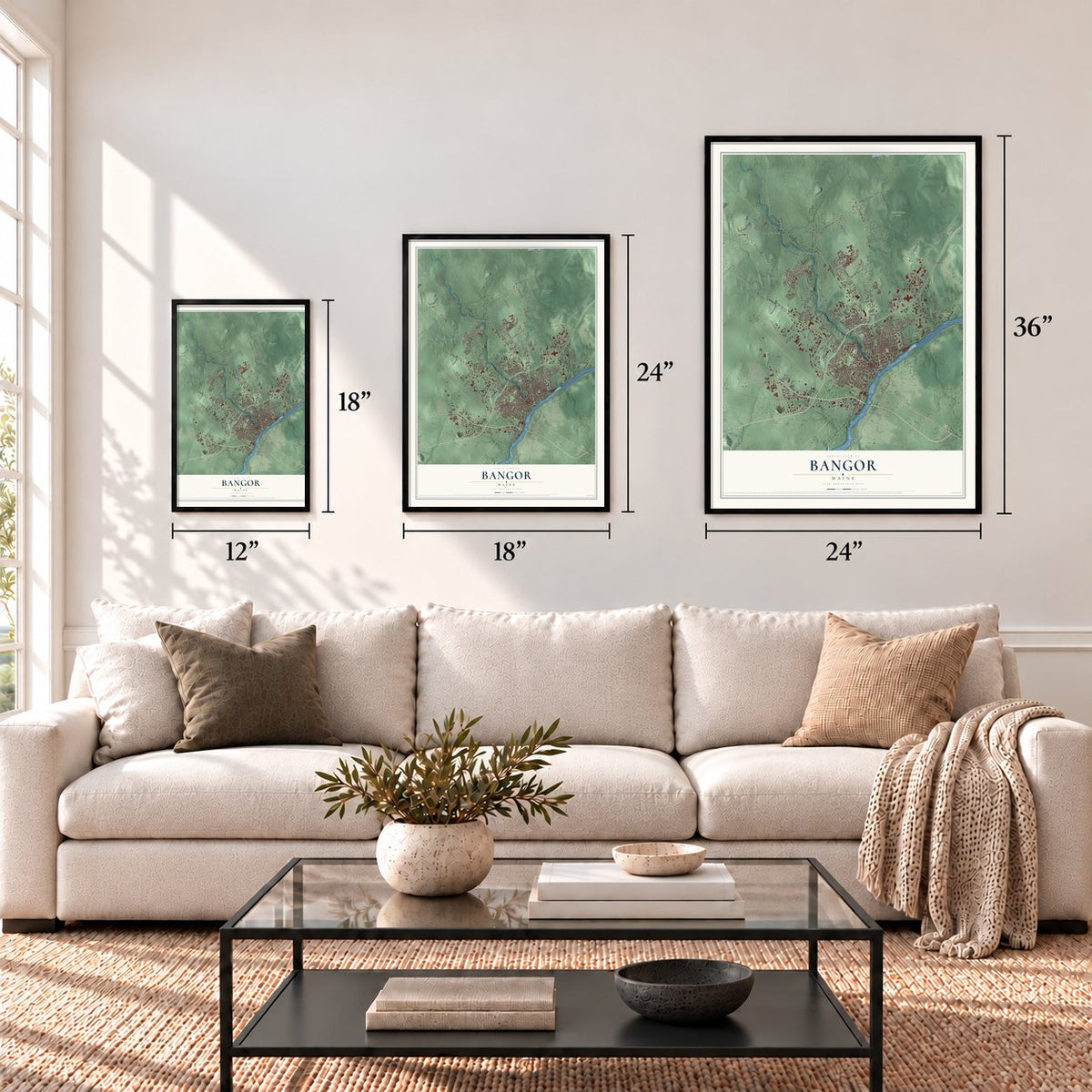
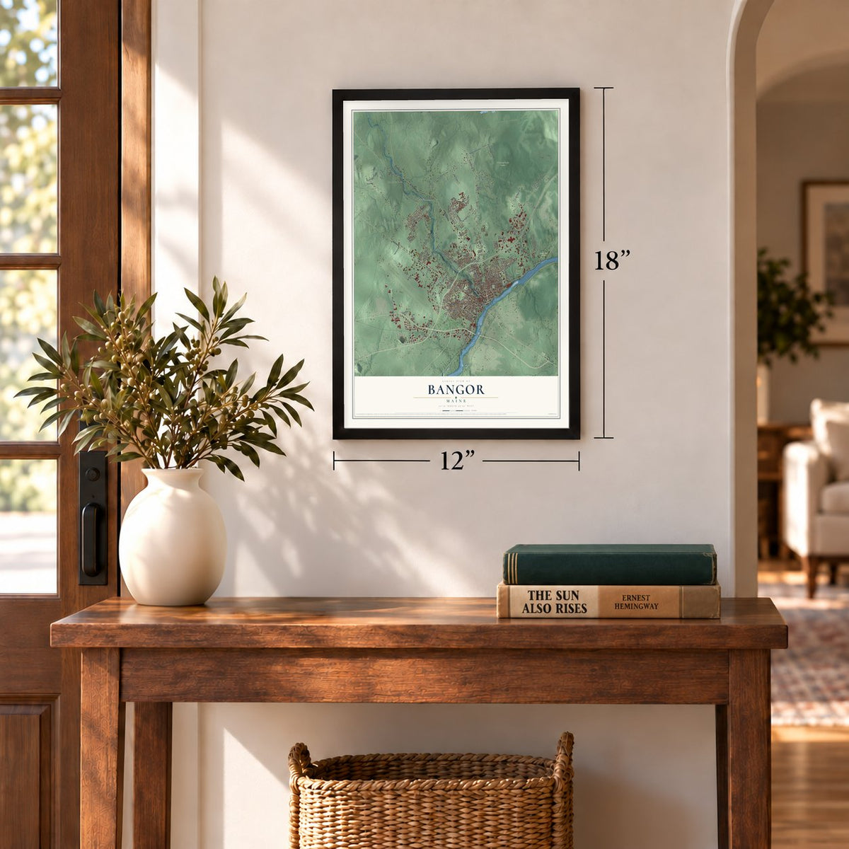
12" x 18" Archival Matte Print
A Map of Home. A Work of Art.
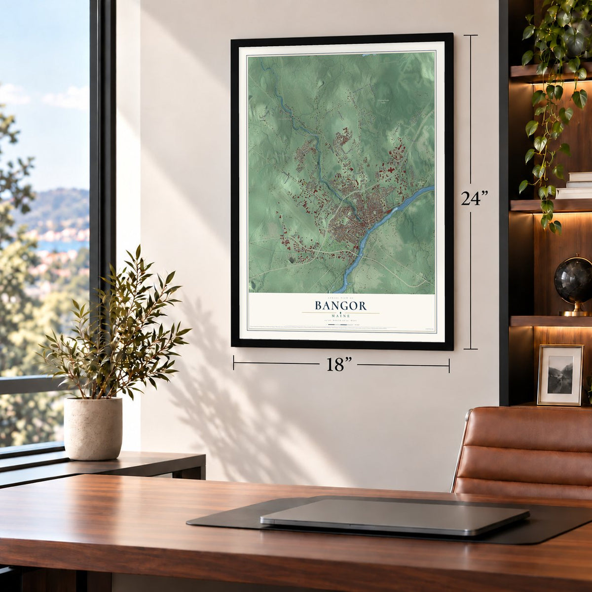
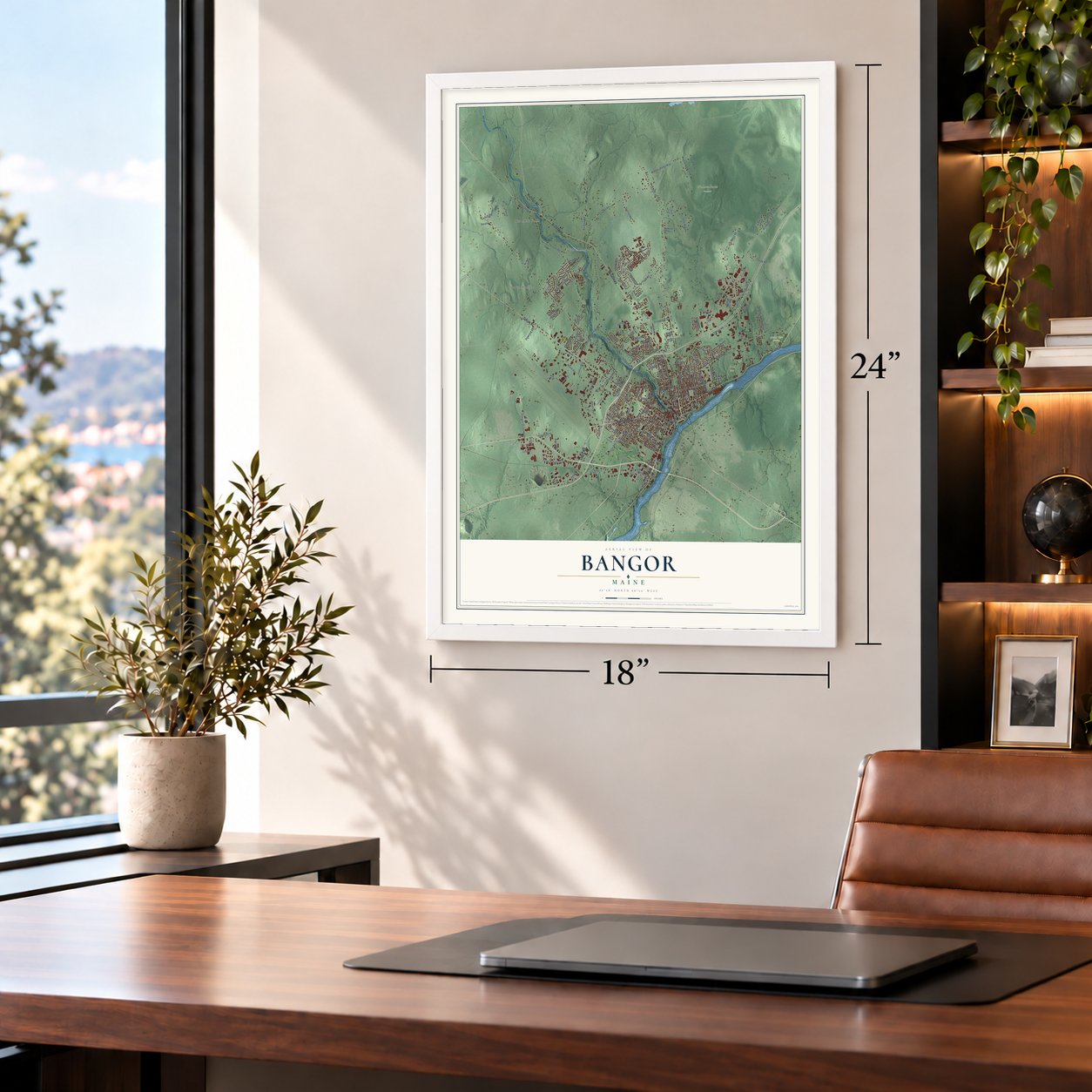
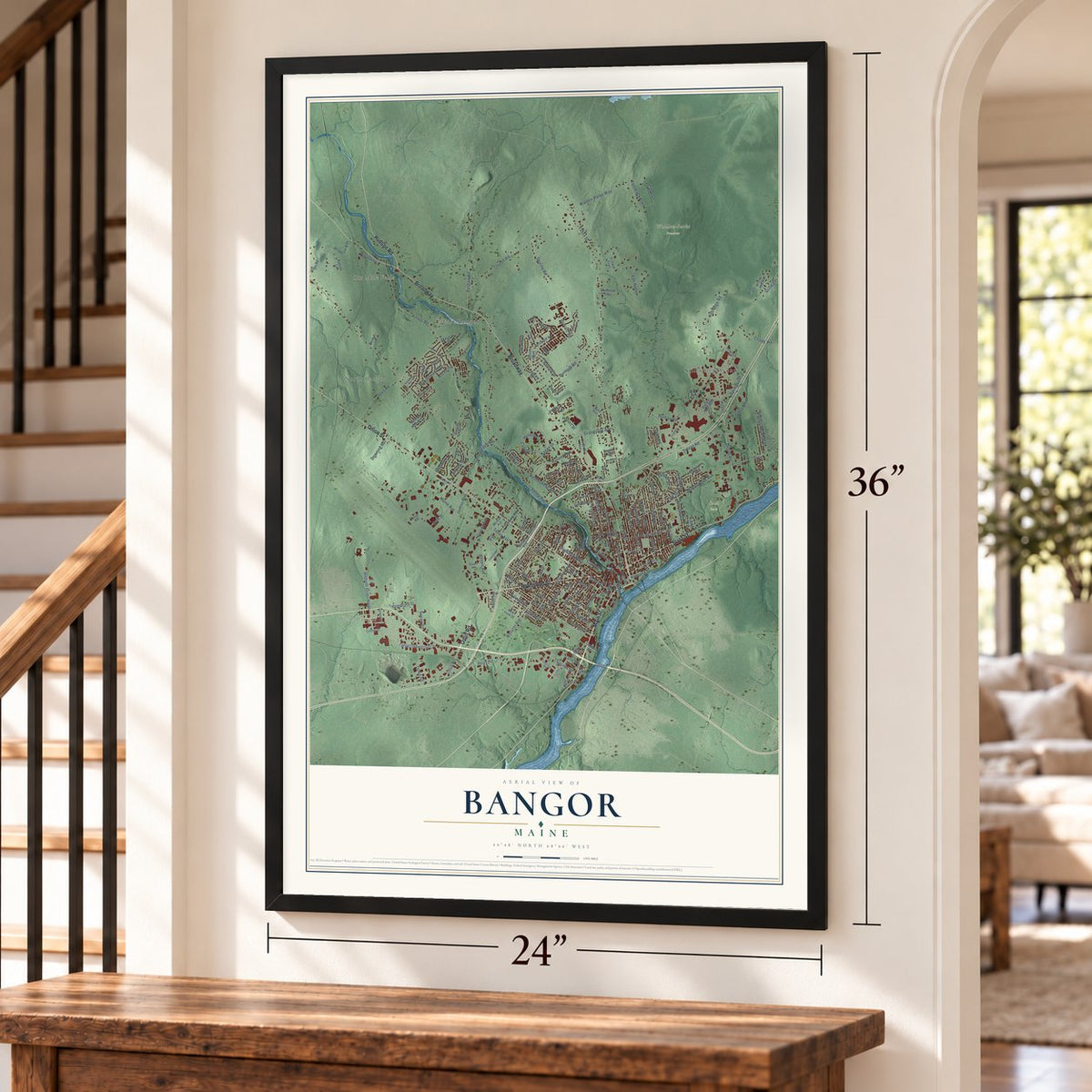
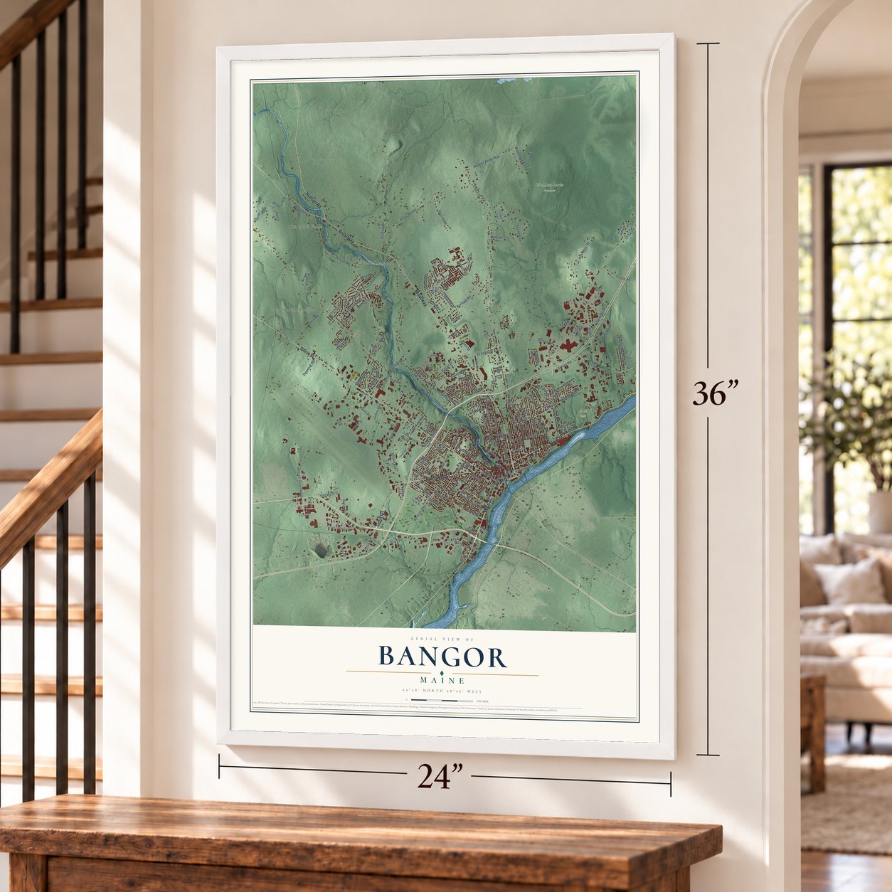
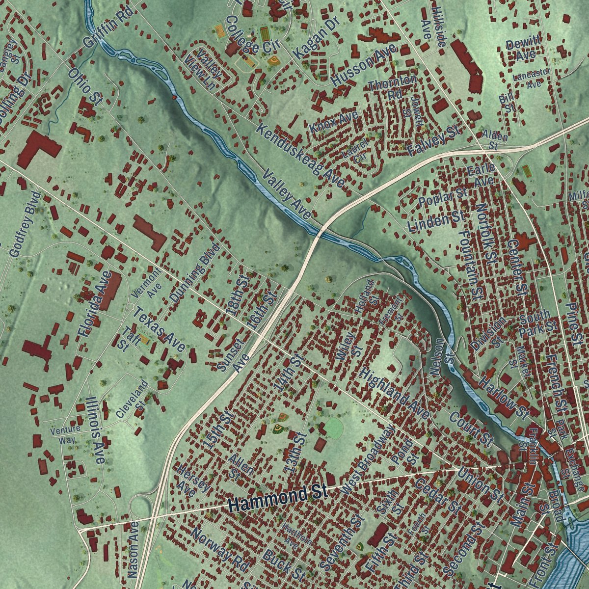
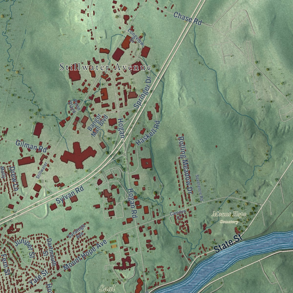
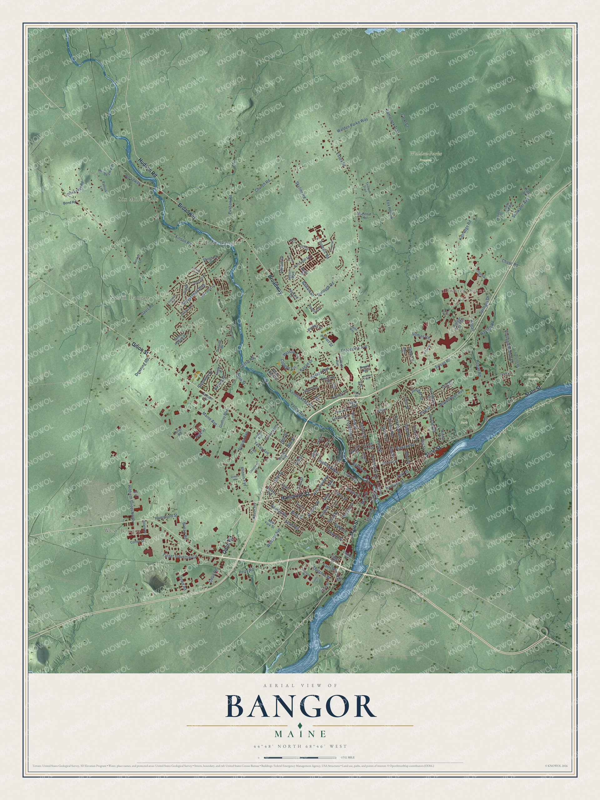
Explore Bangor, Maine from a whole new perspective. Created using aerial imagery and detailed geographic data, this map captures Bangor building by building, with labeled streets, familiar landmarks, and shaded topographical relief that highlights the natural contours of the landscape.
Combining modern data with the timeless character of a vintage atlas, this map is just as interesting up close as it is beautiful on the wall. Whether you grew up in Bangor, spent memorable years there, or call it home today, this unique map is a great way to celebrate a place that means something to you. Zoom in on the preview to look for your street, and then order a print to put your memories on the wall.
Three ways to hang it
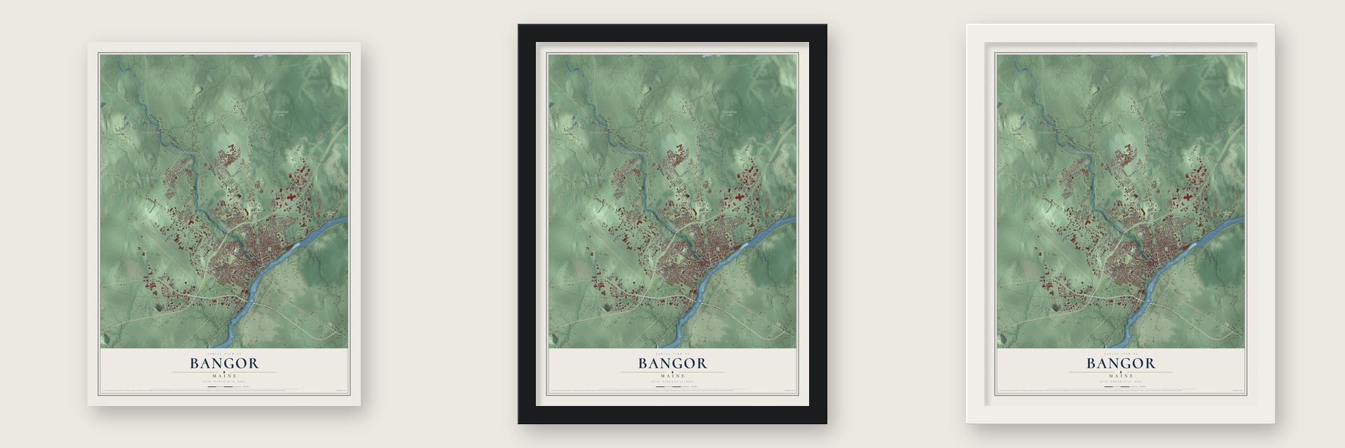
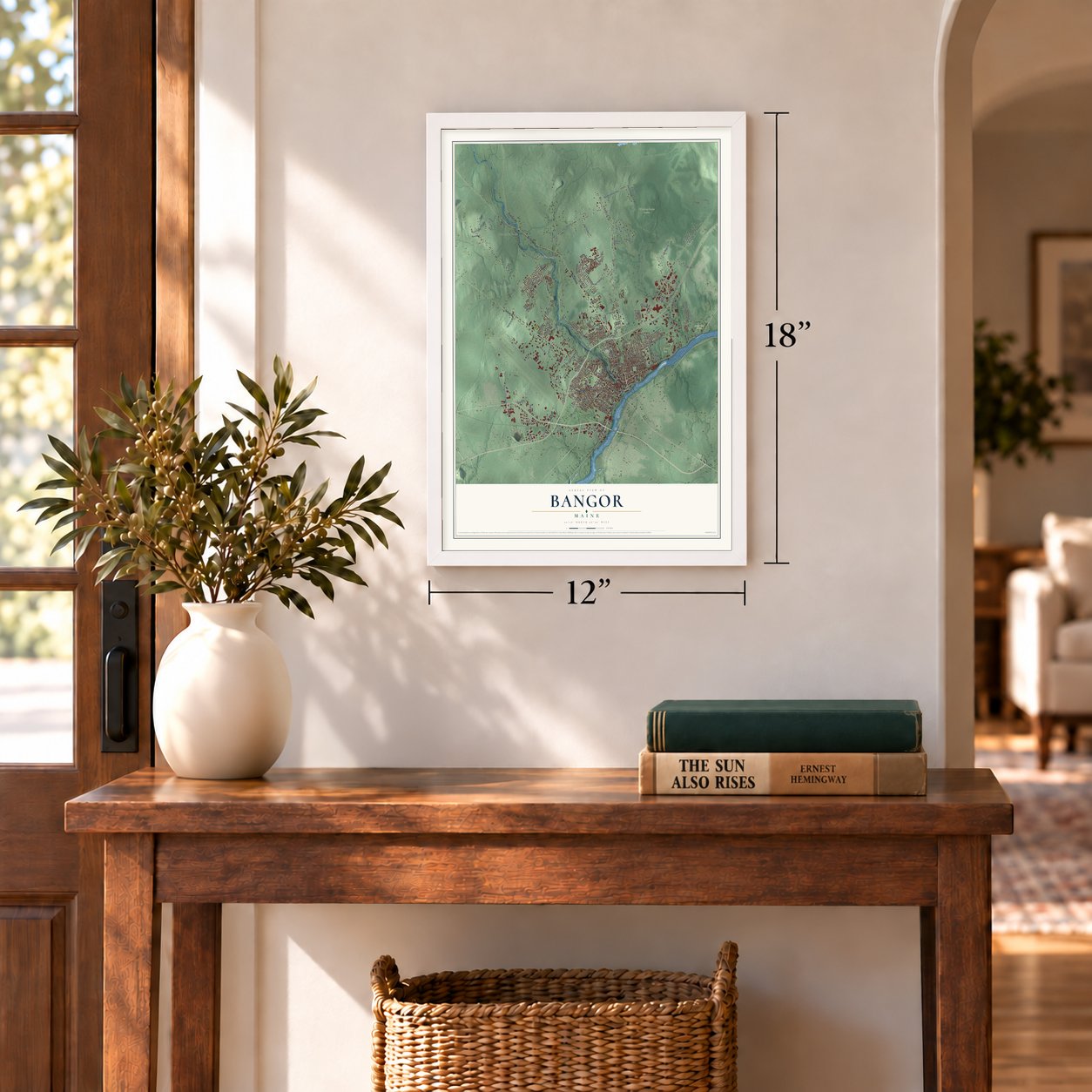
Unframed archival matte, a black wood frame or a white wood frame.
Up close
Geography Worth Displaying
This map was created using accurate cartographic data and authoritative geographic sources, including the U.S. Geological Survey (USGS) and FEMA. The map brings together terrain, waterways, roads, and building detail. The majority of the streets are labeled, houses are accurately depicted, and the topography is derived from government sources. Combining local data with carefully composed color and shading leads to this beautifully detailed Bangor artwork for your wall.
Rather than simply showing street outlines, we’ve included as many of the street names as we could reasonably fit on the map while keeping their names legible. Zoom in on the high resolution preview to see exactly what’s on the map. We truly set out to create a statement piece for anyone who loves Bangor. So whether it’s for you, or a gift for someone you love, we hope this map of Bangor brings back fond memories.
Explore the full map of Bangor, Maine and read about the local places it shows.
Find your street
Names on the Bangor map
Every name below is printed on this map. Look for your street, your school, the park where you played, or the pond down the road.
Places and landmarks9
- West Bangor
- Six Mile Falls
- North Bangor
- Bass Park
- Mount Hope Cemetery
- Saxl Park
- Walden-Parke Preserve
- Stillwater Avenue
- East Bangor
Streets and roads194
- Main Street
- Odlin Road
- Union Street
- Hammond Street
- Broadway
- State Street
- Hudson Road
- Center Street
- Maine Avenue
- Harlow Street
- Ohio Street
- Illinois Avenue
- Essex Street
- Kenduskeag Avenue
- Finson Road
- Mount Hope Avenue
- Griffin Road
- Hogan Road
- Church Road
- Pushaw Road
- Davis Road
- Hildreth Street North
- Perry Road
- Valley Avenue
- 14th Street
- Webster Avenue
- Garland Street
- Walden Parke Way
- Birch Street
- Kittredge Road
Show all 194 streets
- Burleigh Road
- Texas Avenue
- Pearl Street
- Howard Street
- Target Industrial Circle
- Forest Avenue
- Fox Hollow
- Fern Street
- Lincoln Street
- Hancock Street
- Buck Street
- Pine Street
- Grove Street
- College Circle
- Husson Circle
- Skyline Road
- Husson Avenue
- French Street
- Bomarc Road
- Norway Road
- Elm Street
- Parkview Avenue
- Moosehead Boulevard
- 15th Street
- Grandview Avenue
- Cedar Street
- Third Street
- Silver Road
- Sylvan Road
- Haskell Road
- Randolph Drive
- Seventh Street
- Springer Drive
- Bolling Drive
- Falvey Street
- Rolling Meadow Drive
- Yale Street
- Juniper Street
- Norfolk Street
- Fountain Street
- Thatcher Street
- Chase Road
- 13th Street
- York Street
- Fifth Street
- Hogan
- Court Street
- Gilman Road
- Lasalle Drive
- Florida Avenue
- Linden Street
- Balsam Drive
- Farm Road
- Tamarack Trail
- Second Street
- Polk Street
- Downing Road
- Hobart Street
- Carol Court
- Highland Avenue
- Banair Road
- Drew Lane
- Dowd Road
- Otis Street
- Kagan Drive
- Front Street
- 16th Street
- 18th Street
- Nelson Street
- Telcom Drive
- Birch Hill Est
- Godfrey Boulevard
- Maple Street
- West Broadway
- Hornbeam Way
- Dartmouth Street
- Pine Ledge Road
- Judson Boulevard
- Packard Drive
- Allen Street
- Thornton Road
- Poplar Street
- Dunning Boulevard
- Sidney Street
- Sunny Hollow Place
- Bangor Mall Boulevard
- Dirigo Drive
- Joans Hill Road
- Broad Street
- Trillium Trail
- South Park Street
- Wiley Street
- Nason Avenue
- Baldwin Drive
- Shepherd Drive
- Hillside Avenue
- Fuller Road
- Starling Drive
- New York Street
- Olive Street
- Patrick Lane
- Knox Avenue
- Sunset Avenue
- Chestnut Trail
- Division Street
- Bond Road
- Coffey Street
- Sixth Street
- Doane Street
- Catell Street
- Valley View Lane
- Bunker Lane
- Dutton Street
- Tripp Drive
- East Street
- Dewitt Avenue
- Earle Avenue
- Hersey Avenue
- Pond Street
- North Street
- Taft Street
- Arch Street
- Alden Street
- Longview Drive
- Laurel Circle
- Cleveland Street
- Somerset Street
- Deer Isle Road
- Langley Street
- Saratoga Avenue
- Woodland Drive
- Godsoe Road
- Blue Hill East
- Park Street
- Market Street
- Jowett Street
- Exchange Street
- Bellevue Avenue
- Reinzo Lane
- Vermont Avenue
- Franklin Street
- Holland Street
- Lupine Way
- Milford Street
- Molly Lane
- Penn Plaza
- Bill Street
- Fourth Street
- Streamside Lane
- Harthorn Avenue
- Venture Way
- Briarwood Drive
- Blue Hill West
- Severence Road
- Peruvian Way
- Crosby Street
- Sugarloaf Lane
- Lancaster Avenue
- Camden Court
- Stillwater
- Fremont Street
- Ledge Circle
- Milk Street
- Acadia Place
Names are listed as they appear on the printed map. Zoom into the product photos to find them.
About Bangor, Maine
Bangor is a city of 31,753 people and the seat of Penobscot County, built where the Penobscot River's rapids give way to the tide. The Penobscot people have lived in this area for at least 11,000 years. Jacob Buswell started a settlement here in 1769, and three years later twelve families had a sawmill, a store and a school. The population reached 567 by 1787. The settlement went by Sunbury or Kenduskeag Plantation until 1791, when it took the name Bangor, said to come from a Welsh hymn tune. It became a city in 1834.
Logging made Bangor rich. Each winter, horse teams dragged logs from the North Woods to the river, and the spring melt carried them down to water-powered sawmills just upstream of the city. From Bangor's docks the lumber sailed for the Caribbean, California and cities along the East Coast. By 1860 the city was the largest lumber port in the world, with 150 sawmills on the river and 3,300 lumber ships at its docks that year. The lumber barons spent their money on grand Greek Revival and Victorian houses, and the city became known as the Queen City of the East.
- Warships under the riverWhen the American Penobscot Expedition failed in 1779, ten naval vessels escaped up the river and were sunk near Bangor so the British couldn't capture them. The wrecks lay untouched until work on the Joshua Chamberlain Bridge in the late 1950s uncovered them. Six cannons came up from the riverbed, and five are on display in the region.
- A hotel to match Boston'sIn 1833 and 1834, Bangor businessmen built the Bangor House at Main and Union streets, wanting a hotel as fine as the Tremont House in Boston. Isaiah Rogers designed it, and it is the last of his "Palace Hotels" still standing. Today its rooms are apartments.
- Hannibal Hamlin's resting placeMount Hope Cemetery was laid out on State Street in 1834 by Charles G. Bryant, who modeled it on Boston's Mount Auburn. Hannibal Hamlin, Abraham Lincoln's first vice president, lies there with four Maine governors, eight Civil War generals and many lumber barons. The Bangor Public Library keeps the couch where Hamlin died in 1891.
- The Great Fire of 1911Fires hit downtown in 1856, 1869 and 1872, but the Great Fire of 1911 was the worst. It burned across 55 acres and took the high school, the post office, the public library, banks, two fire stations, six churches, a synagogue, nearly 100 businesses and 285 homes.
- Rebuilt after the fireAfter the 1911 fire, Bangor rebuilt its downtown in a mix of styles from Mansard to Beaux-Arts. Peabody and Stearns designed the new public library, which gained a wing in 1997 with help from Stephen and Tabitha King.
Keep exploring Maine
Bangor is one of 536 Maine towns we've mapped. Every dot on the map is a print of its own.
The search covers every state, Maine first.
Near Bangor
Order 2 or more town maps and save 10%. Shown in the size and finish you picked above, so they hang as a set.
- Veazie 12" x 18" / Archival Matte Print $39.99
- Brewer 12" x 18" / Archival Matte Print $39.99
- Orono 12" x 18" / Archival Matte Print $39.99
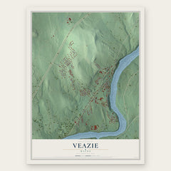
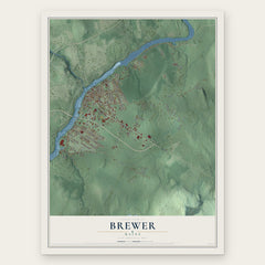

More maps nearby: Glenburn, Hermon, Holden, Hampden and Eddington.
The art of mapping a place
How This Map Was Made
Real places. Remarkable detail. Discover the layers that turn geographic data into a map of home.

The view from above
Aerial imagery reveals the character of the land: woodland, open fields, and the patterns of a place.

The shape of the land
Elevation data brings hills, valleys, and subtle changes in the landscape into view.

The details of home
Roads, waterways, and building footprints come together to make the map feel unmistakably local.

Geography becomes art
Considered color, shading, and typography bring the layers together in a map made for your wall.


Process illustrated with Mendon, Massachusetts. Aerial imagery: USDA NAIP. Terrain: USGS 3D Elevation Program. Map details and finished artwork: KNOWOL.
The Details
About This Print
Choose an archival matte print, or a black or white Ayous wood frame. The archival matte print is unframed.
Select your size and finish above to see the matching product image and price.
Materials & Craftsmanship
A contemporary map with the character of a classic atlas, printed on archival matte paper. Optional frames are made from Ayous wood.
Your printed map does not include the watermark shown in the full-map preview.
Shipping & Delivery
Free shipping within the United States. Every print is made to order in the USA.
Buying a gift? Add a note in your cart and we'll include it. We never put prices in the package.
Prints ship within 2 to 3 business days. Allow 7 to 10 days total from ordering for delivery. Timing may vary during holidays or periods of high order volume.
Read our shipping policy.
Returns and damaged prints
Each print is made to order. Change-of-mind refunds are not available after production.
If your print arrives damaged, misprinted or incorrect, contact support@knowol.com within 30 days of receiving it. Include your order number, photos and a description of the issue.
Read our full refund and replacement policy. For questions about your order, email support@knowol.com.