
Search for another town




Free U.S. delivery 7 to 10 days after you order
Bellevue, Nebraska Map Art
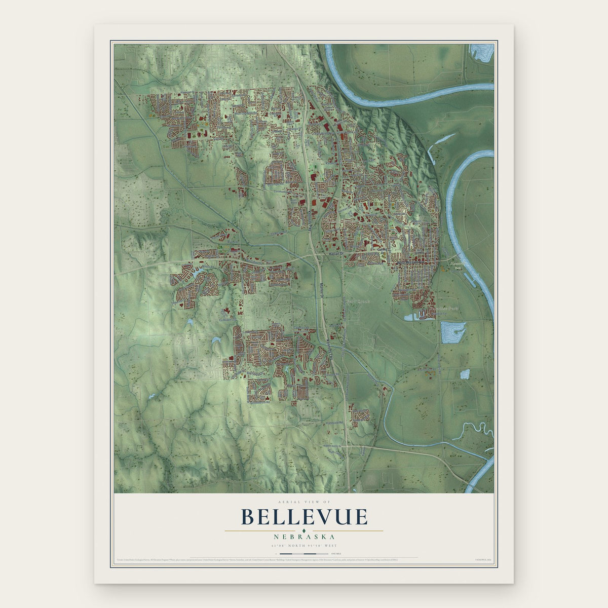
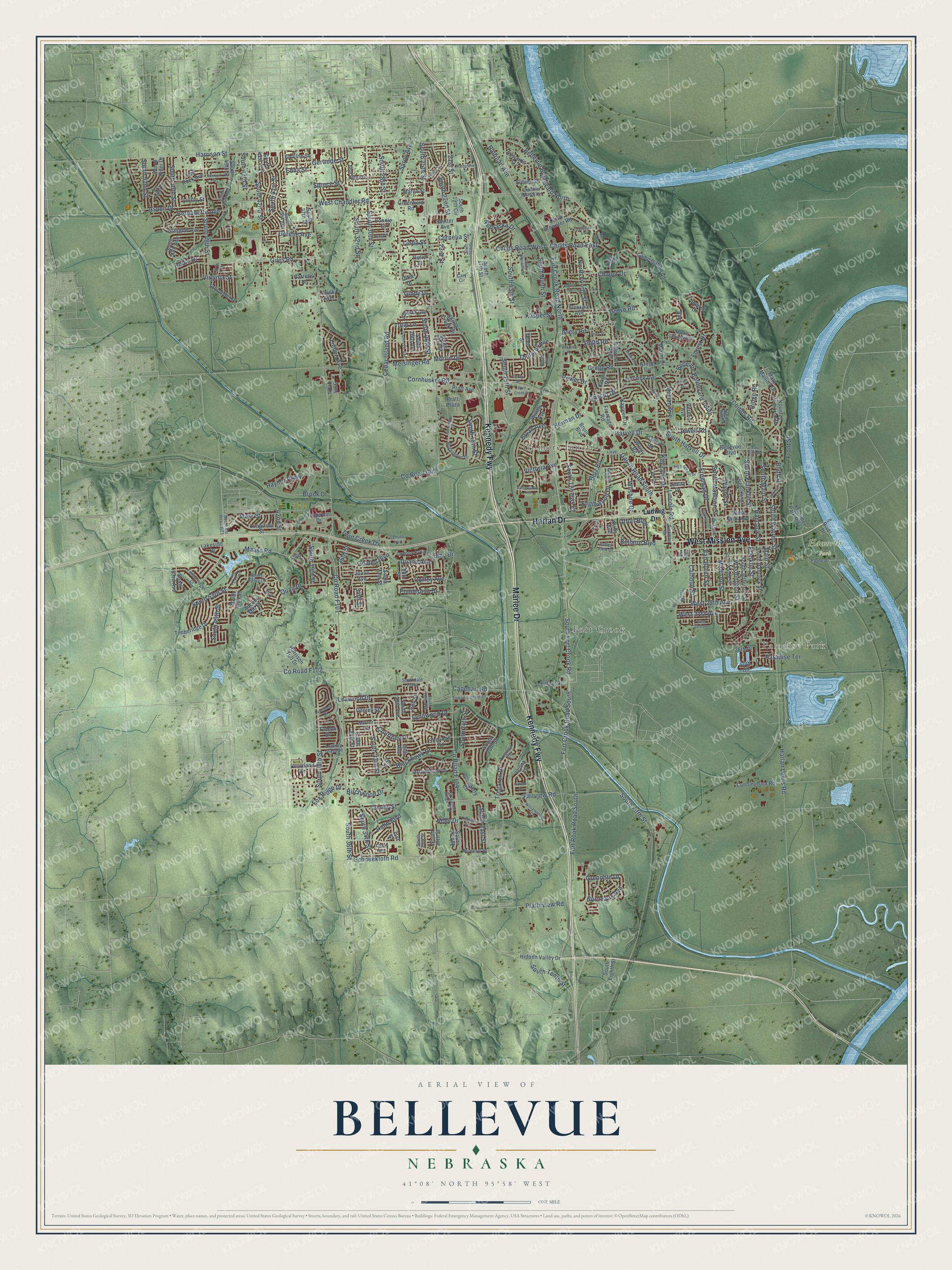
A new map of Bellevue, Nebraska, made in 2026 and printed to order on thick archival matte paper.
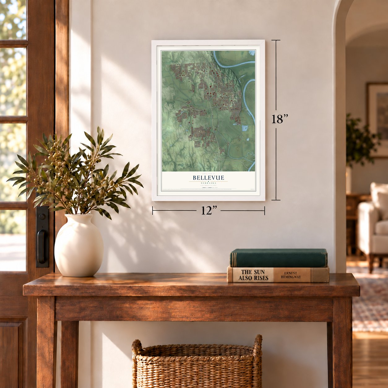
12" x 18" Archival Matte Print
A Map of Home. A Work of Art.
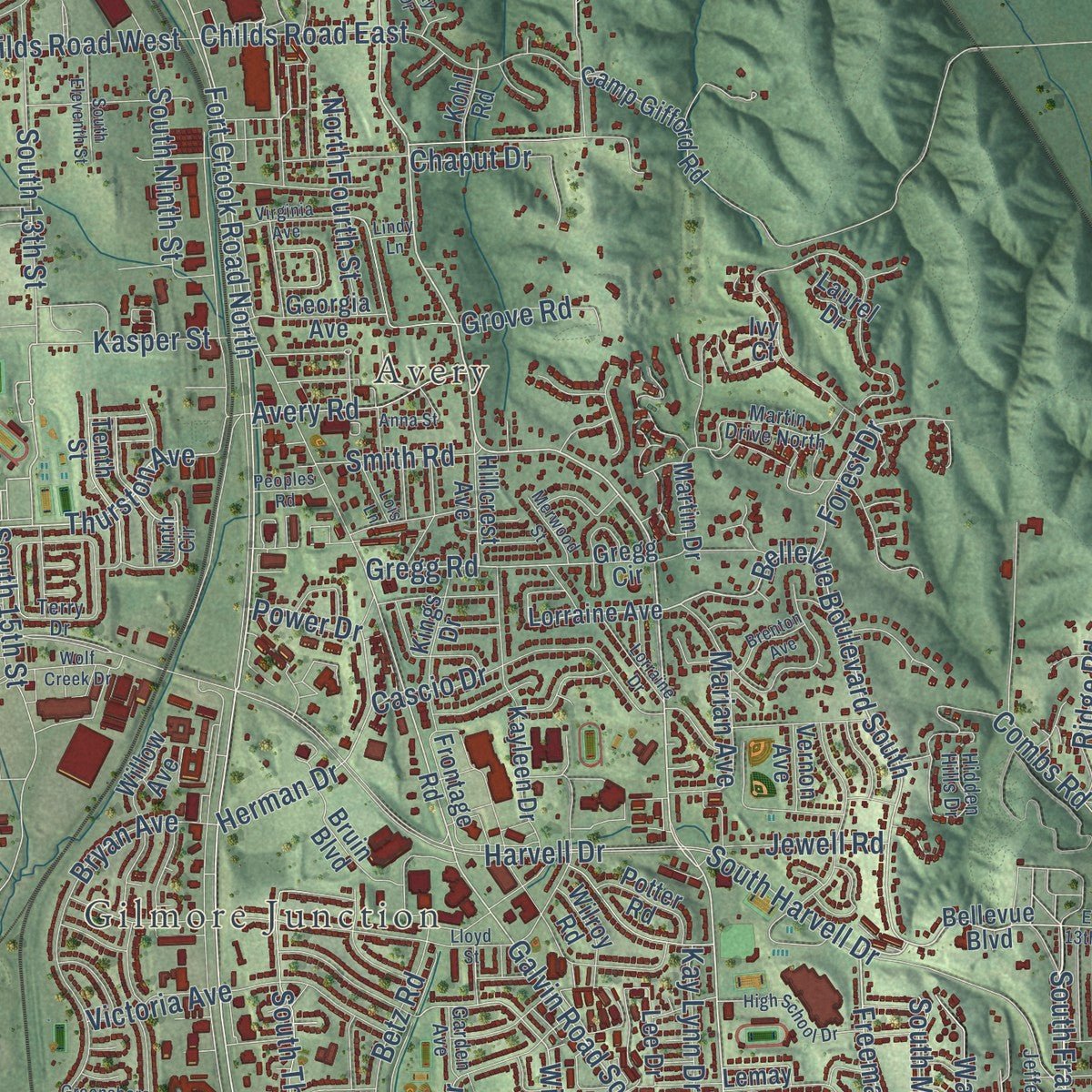
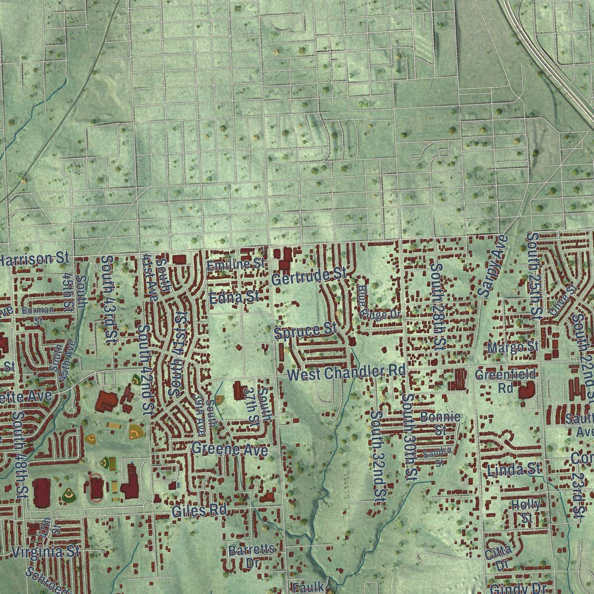
Explore Bellevue, Nebraska from a whole new perspective. Created using aerial imagery and detailed geographic data, this map captures Bellevue building by building, with labeled streets, familiar landmarks, and shaded topographical relief that highlights the natural contours of the landscape.
Combining modern data with the timeless character of a vintage atlas, this map is just as interesting up close as it is beautiful on the wall. Whether you grew up in Bellevue, spent memorable years there, or call it home today, this unique map is a great way to celebrate a place that means something to you. Zoom in on the preview to look for your street, and then order a print to put your memories on the wall.
Three ways to hang it
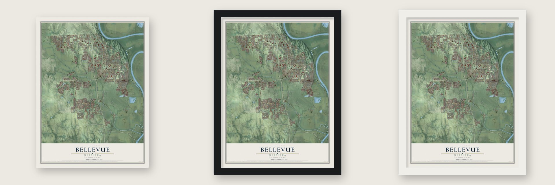
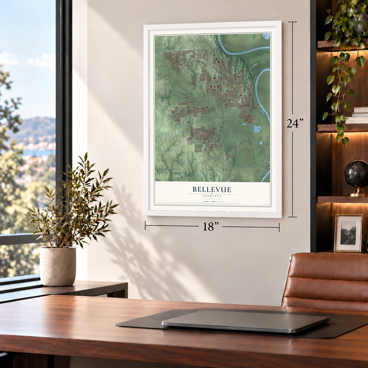
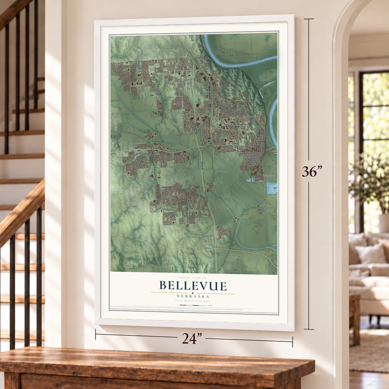
Unframed archival matte, a black wood frame or a white wood frame.
Up close
Geography Worth Displaying
This map was created using accurate cartographic data and authoritative geographic sources, including the U.S. Geological Survey and the Census Bureau. The map brings together terrain, waterways, roads, and building detail. The majority of the streets are labeled, houses are accurately depicted, and the topography is derived from government sources. Combining local data with carefully composed color and shading leads to this beautifully detailed Bellevue artwork for your wall.
Rather than simply showing street outlines, we’ve included as many of the street names as we could reasonably fit on the map while keeping their names legible. Zoom in on the high resolution preview to see exactly what’s on the map. We truly set out to create a statement piece for anyone who loves Bellevue. So whether it’s for you, or a gift for someone you love, we hope this map of Bellevue brings back fond memories.
Read the story behind this map of Bellevue, Nebraska from 2026.

About Bellevue, Nebraska
Bellevue is a city of 64,176 people in Sarpy County, on the Missouri River. Its name is French for "beautiful view," and it was once spelled Belleview. Joshua Pilcher founded it as a Missouri Fur Company trading post. When the company ran into money trouble, Lucien Fontanelle took over the post and became the town's first permanent resident.
European Americans settled here in the 1830s, and Moses Merrill started a mission here, the earliest Christian mission in Nebraska. Bellevue was incorporated in 1855. As the oldest city in Nebraska Territory, it expected to become the territorial capital, and Governor Francis Burt had already moved to town. Burt died soon after he arrived, and the next governor picked Omaha for the capital instead.
- The bombers built next doorIn 1921 an air base was built just south of Bellevue. Today it is Offutt Air Force Base, home of the United States Strategic Command. The planes that dropped the atomic bombs on Hiroshima and Nagasaki were built there.
- Tornado and floodOn May 12, 1908, a tornado struck Bellevue, killing 20 people and causing $50,000 in damage. In 2019 the swollen Missouri River flooded the town and destroyed about 200 homes.
Find your street
Names on the Bellevue map
Every name below is printed on this map. Look for your street, your school, the park where you played, or the pond down the road.
Places and landmarks5
- Paradise Park
- Avery
- Fort Crook
- Gilmore Junction
- Haworth Park
Streets and roads305
- Kennedy Fwy
- West Mission Avenue
- Marlee Drive
- Harlan Drive
- Fort Crook Road South
- Bellevue Boulevard North
- South 48th Street
- Fort Crook Road North
- Lincoln Road
- Franklin Street
- South Franklin Street
- Thurston Avenue
- Fort Rook Road South
- Freeman Drive
- Maass Road
- West 29th Avenue
- Galvin Road South
- Bellevue Boulevard South
- South Warren Street
- Golden Boulevard
- Harrison Street
- Bluff Street
- Bernadette Avenue
- Cornhusker Road
- South 13th Street
- Wayne Street
- Gregg Road
- 21st Street
- Wilshire Drive
- South 21st Street
Show all 305 streets
- South 15th Street
- Grenoble Drive
- Herman Drive
- Betz Road
- South 18th Street
- South 36th Street
- South 25th Street
- South Fort Crook Road
- Capehart Road
- West Chandler Road
- Hancock Street
- South Tenth Street
- Washington Street
- South Fifth Street
- Cedar Island Road
- Lynnwood Drive
- Virginia Street
- Childs Road West
- Main Street
- Fairview Road
- South 38th Street
- South Main Street
- South 53rd Street
- Harlan Lewis Road
- South 26th Street
- South 30th Street
- Gertrude Street
- South 42nd Street
- Rahn Boulevard
- Greene Avenue
- South 28th Street
- Giles Road
- South 22nd Street
- Madison Street
- South Madison Street
- Harvell Drive
- South 34th Street
- Twin Creek Drive
- South 33rd Street
- Blackhawk Drive
- Leawood Drive
- South 24th Street
- South 41st Street
- South Harvell Drive
- South 49th Street
- Coffey Avenue
- South 39th Street
- Calhoun Street
- South Ninth Street
- Schneekloth Road
- Bryan Avenue
- Tregaron Drive
- Childs Road East
- Van Buren Street
- Duane Avenue
- Quail Drive
- South Thomas Drive
- Birchwood Drive
- Raynor Parkway
- Nebraska Drive
- South 52nd Street
- Kelly Drive
- South 32nd Street
- Morrie Drive
- Cascio Drive
- Cornelia Street
- Aspen Drive
- Robin Drive
- Victoria Avenue
- Englewood Drive
- South 43rd Street
- Courtney Drive
- Avery Road
- Sarpy Avenue
- South 50th Street
- Brook Drive
- 42nd Street
- Tammy Street
- Marian Avenue
- Tulip Lane
- West 31st Avenue
- Front Street
- Ponderosa Drive
- 23rd Street
- Forest Drive
- Railroad Avenue
- North Fourth Street
- Platteview Road
- Chaput Drive
- Meisinger Road
- Kasper Street
- Bordeaux Avenue
- Paradise Terrace
- Offutt Boulevard
- 35th Street
- Grove Road
- Mark Street
- Bellaire Boulevard
- County Road G42
- Linden Avenue
- 34th Street
- Fox Ridge Drive
- Ridge Road
- Smith Road
- Combs Road
- Kay Lynn Drive
- Jewell Road
- Bmc Drive
- Gindy Drive
- Power Drive
- Linda Street
- Spruce Street
- Edna Street
- Ludwig Drive
- Georgia Avenue
- Bellevue Boulevard
- West 20th Avenue
- Lorraine Avenue
- South 37th Street
- Glasgow Avenue
- South 50th Avenue
- South 45th Street
- South 17th Street
- South 20th Street
- South Jefferson Street
- Sidney Street
- South Hancock Street
- South 35th Street
- Emiline Street
- Camp Gifford Road
- South 23rd Street
- Sheridan Road
- South 27th Street
- South 31st Street
- Joann Avenue
- Lillian Street
- Margo Street
- Willow Avenue
- South 41st Avenue
- Kountze Memorial Drive
- 31st Street
- Timberidge Drive
- Mary Mallory Drive
- South 26th Avenue
- Kayleen Drive
- Krammer Park Plaza
- Alberta Avenue
- 29th Street
- Martin Drive
- South 47th Street
- Lakeside Drive
- Longview Street
- Cunningham Road
- South 29th Avenue
- 29th Avenue
- Camp Brewster Road
- Red Rock Avenue
- Bruin Boulevard
- Hidden Valley Drive
- Schilling Drive
- River Drive
- Wood River Drive
- Arrowhead Lane
- Kings Drive
- Lemay Drive
- Spring Creek Drive
- Pratt Avenue
- Tenth Street
- Edgerton Drive
- Schroeder Drive
- Harrison Tull Drive
- Clay Street
- Frontage Road
- Holly Street
- Lee Drive
- 36th Place
- Hillcrest Avenue
- Edwards Street
- South Eighth Street
- Heartland Drive
- Pratt Plaza
- Anchor Mill Drive
- Kohl Road
- Potter Road
- Glengarry Circle
- South 25 Avenue
- Sautter Avenue
- Bonnie Street
- Daniell Street
- Wilroy Road
- Greenfield Road
- Laurel Drive
- Barretts Drive
- Kirby Avenue
- South 53rd Avenue
- Mirror Lane
- Citta Drive
- South 19th Circle
- Vernon Avenue
- 28th Street
- 35th Plaza
- Leona Lane
- Gregg Circle
- Falcon Drive
- Faulk Avenue
- 40th Circle
- Ivy Court
- South Wayne Street
- Payne Drive
- Jefferson Street
- Martin Drive North
- Timberridge Drive
- South 29th Street
- Jackson Street
- Olive Street
- South 45th Avenue
- South 28th Avenue
- Looking Glass Drive
- South 39th Avenue
- Hogantown Drive
- Tregaron Circle
- Hidden Hills Drive
- Sun Valley Drive
- Amos Gates Drive
- Garden Avenue
- Comstock Plaza
- Tregaron Ridge Avenue
- Towne Centre Drive
- Chandler Road East
- Blue Ridge Drive
- Pilgrim Drive
- Lilley Lane
- 47th Street
- Parkway Drive
- South County Road G21
- Southdale Plaza
- Valley View Drive
- Ninth Circle
- Chad Avenue
- 32nd Street
- Terry Drive
- Cary Circle
- Josephine Street
- Lloyd Street
- Warren Street
- South 19th Street
- Lake Forest Drive
- Greensboro Avenue
- South Eleventh Street
- Borman Street
- Lorraine Drive
- South 27th Avenue
- High School Drive
- Modification Road
- Grandview Avenue
- Williamsburg Court
- Mayflower Road
- Virginia Avenue
- Halifax Drive
- Wolf Creek Drive
- West 33rd Avenue
- Lawnwood Drive
- Sandra Street
- Brenton Avenue
- Jamestown Drive
- Collins Drive
- Merwood Street
- Peoples Road
- East 13th Avenue
- Lois Lane
- Samson Way
- Anna Street
- Day Drive
- Lindy Lane
- Hike Circle
Names are listed as they appear on the printed map. Zoom into the product photos to find them.
The art of mapping a place
How This Map Was Made
Real places. Remarkable detail. Discover the layers that turn geographic data into a map of home.

The view from above
Aerial imagery reveals the character of the land: woodland, open fields, and the patterns of a place.

The shape of the land
Elevation data brings hills, valleys, and subtle changes in the landscape into view.

The details of home
Roads, waterways, and building footprints come together to make the map feel unmistakably local.

Geography becomes art
Considered color, shading, and typography bring the layers together in a map made for your wall.


Process illustrated with Mendon, Massachusetts. Aerial imagery: USDA NAIP. Terrain: USGS 3D Elevation Program. Map details and finished artwork: KNOWOL.
The Details
About This Print
Choose an archival matte print, or a black or white Ayous wood frame. The archival matte print is unframed.
Select your size and finish above to see the matching product image and price.
Materials & Craftsmanship
A contemporary map with the character of a classic atlas, printed on archival matte paper. Optional frames are made from Ayous wood.
Your printed map does not include the watermark shown in the full-map preview.
Shipping & Delivery
Free shipping within the United States. Every print is made to order in the USA.
Buying a gift? Add a note in your cart and we'll include it. We never put prices in the package.
Prints ship within 2 to 3 business days. Allow 7 to 10 days total from ordering for delivery. Timing may vary during holidays or periods of high order volume.
Read our shipping policy.
Returns and damaged prints
Each print is made to order. Change-of-mind refunds are not available after production.
If your print arrives damaged, misprinted or incorrect, contact support@knowol.com within 30 days of receiving it. Include your order number, photos and a description of the issue.
Read our full refund and replacement policy. For questions about your order, email support@knowol.com.
Find your town
Looking for another city?
Find a map of home in our Nebraska collection, or any town in the country.
Nearby
Maps of towns near Bellevue
Know someone from one of these towns? Their map makes a great gift.
 Offutt AFB
, Nebraska
From $39.99See the map
 La Platte
, Nebraska
From $39.99See the map
 Ralston
, Nebraska
From $39.99See the map
More maps nearby: Buccaneer Bay, La Vista, Papillion, Richfield and Plattsmouth.