
Search for another town
Free U.S. delivery 7 to 10 days after you order
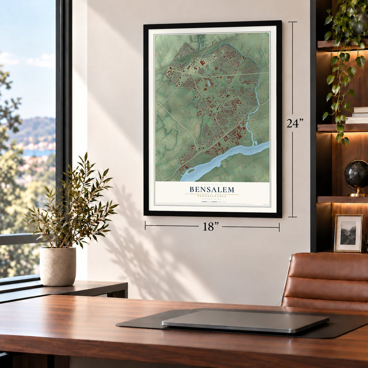
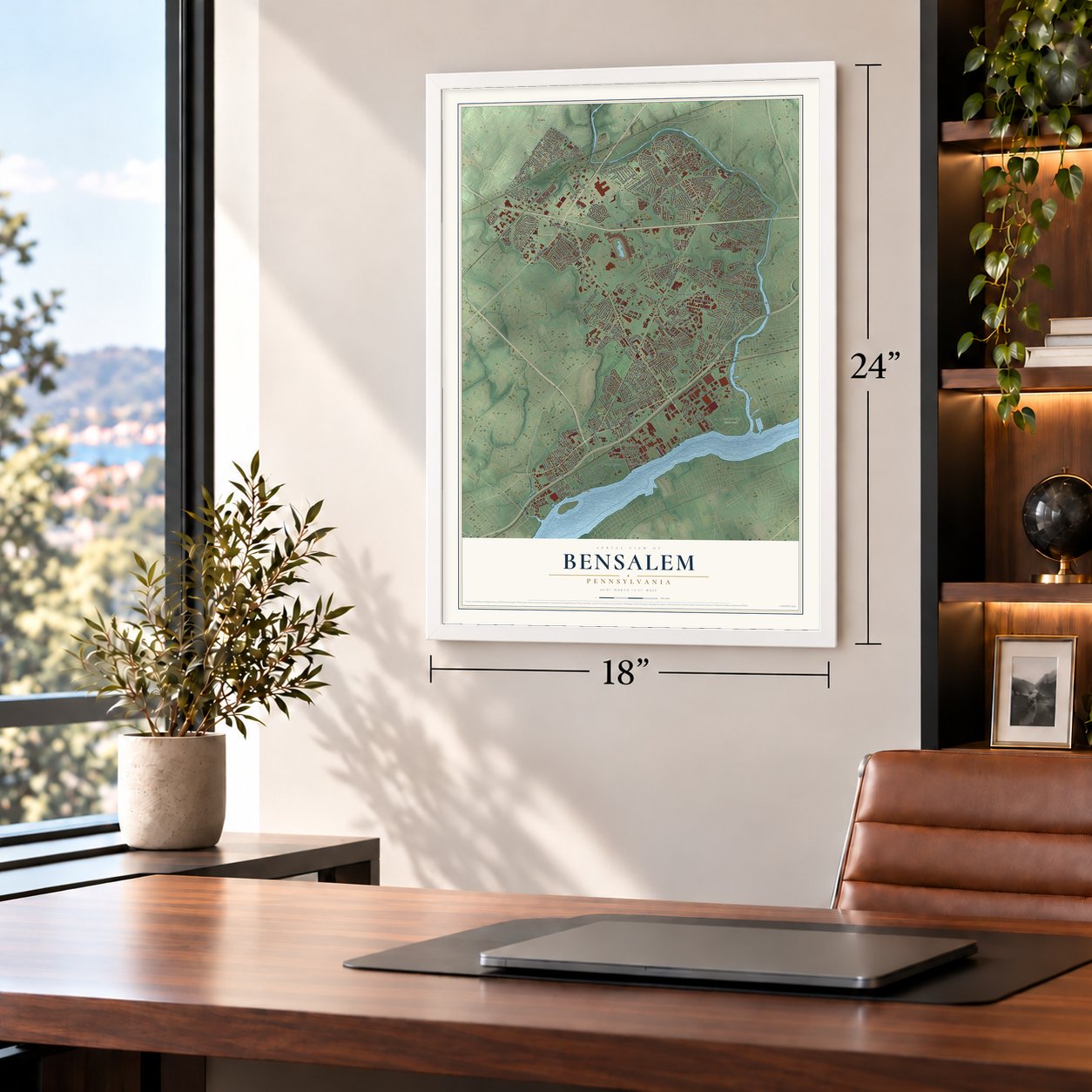
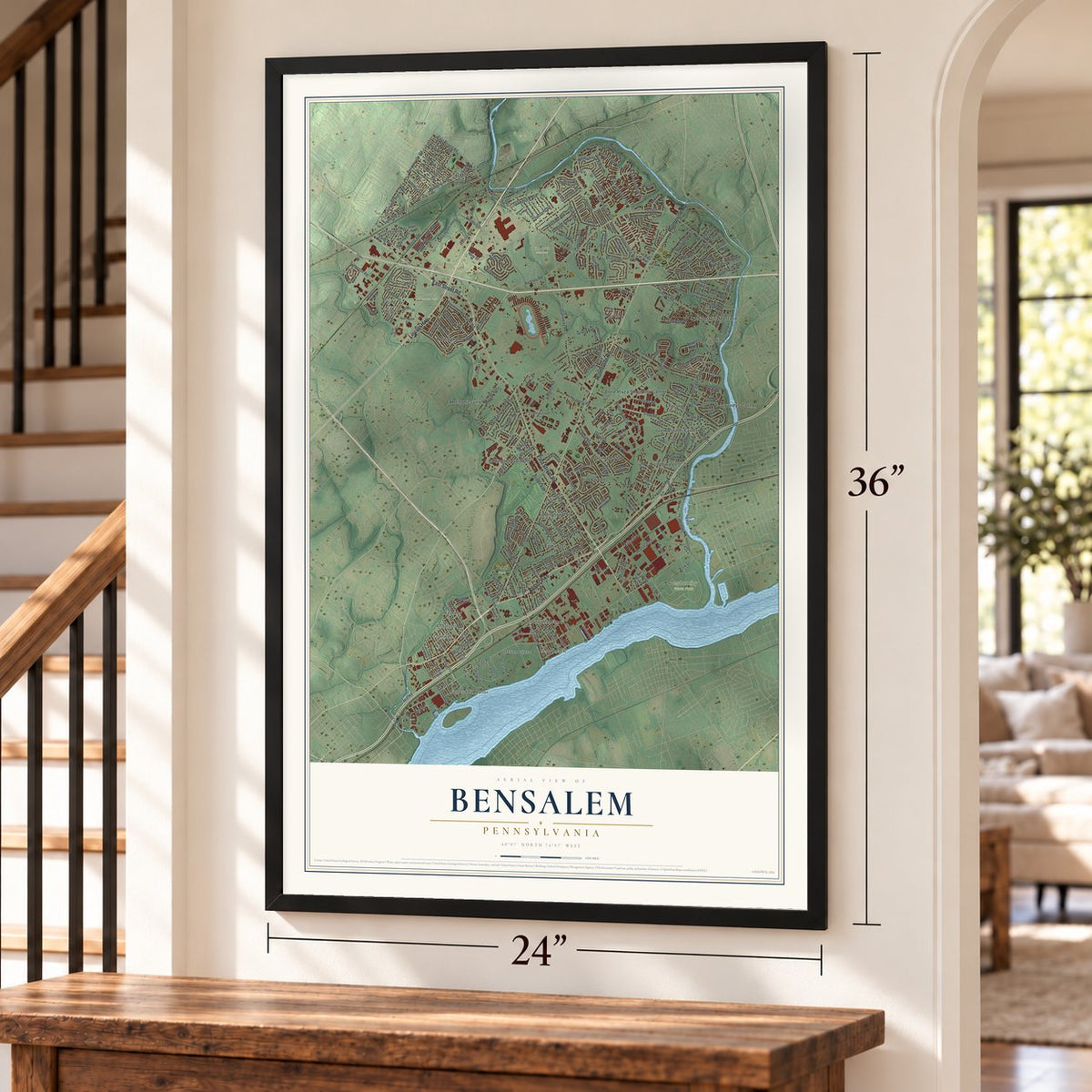
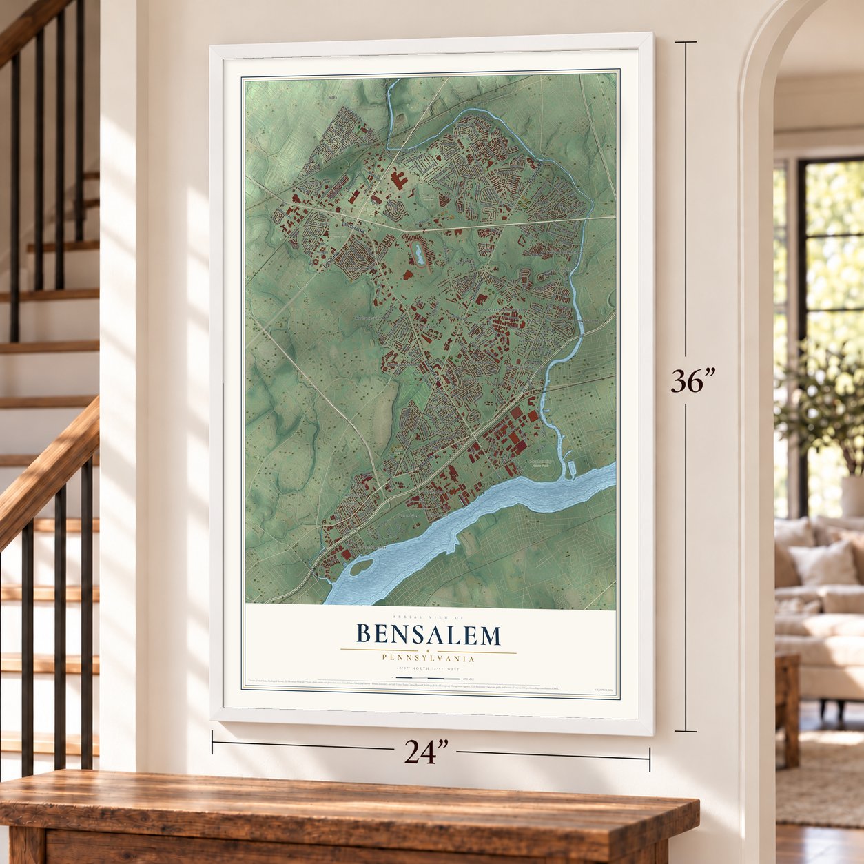
Bensalem, Pennsylvania Map Art
Building by building, with labeled streets and shaded relief.
12" x 18" Archival Matte Print
A Map of Home. A Work of Art.
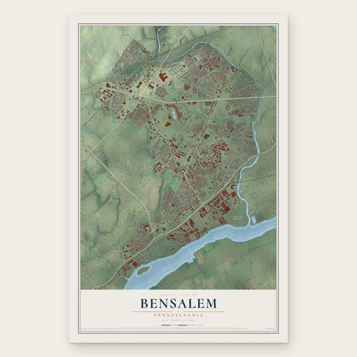
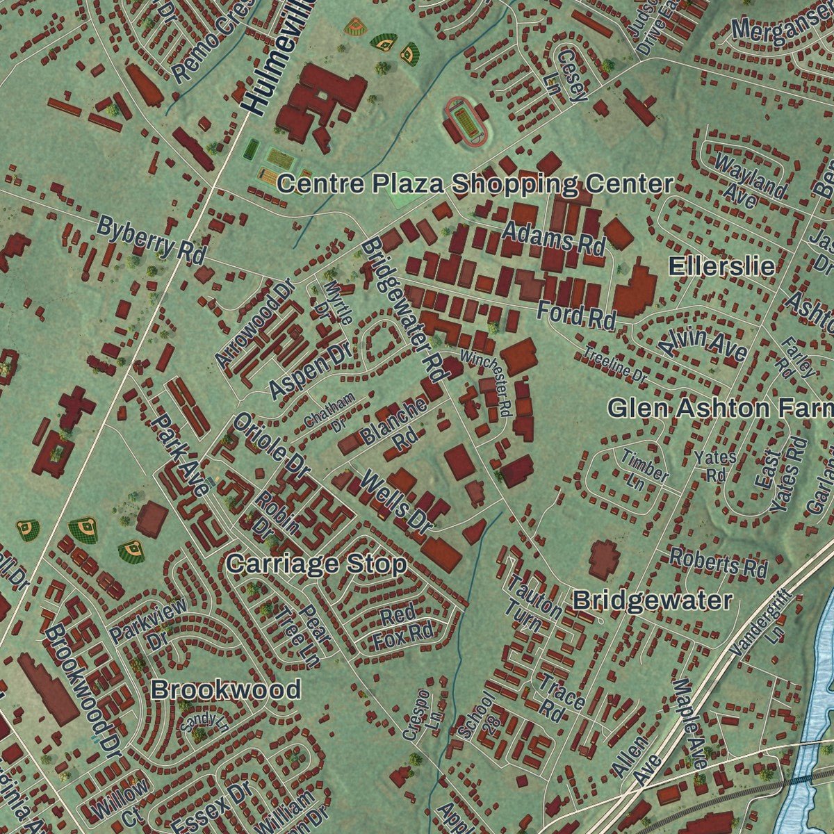
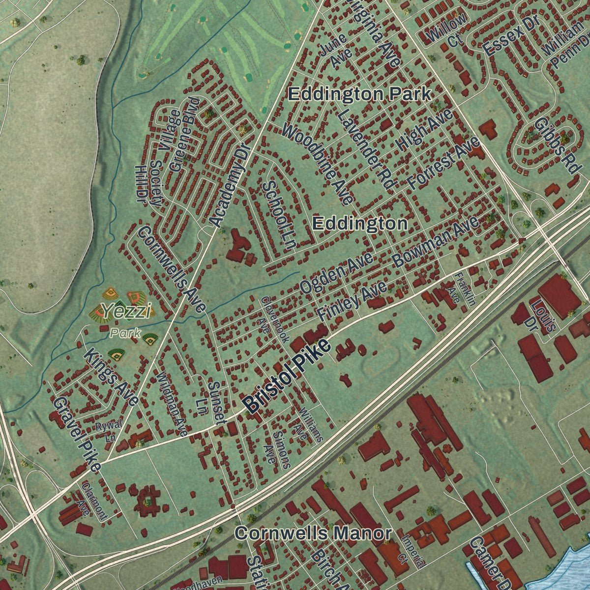
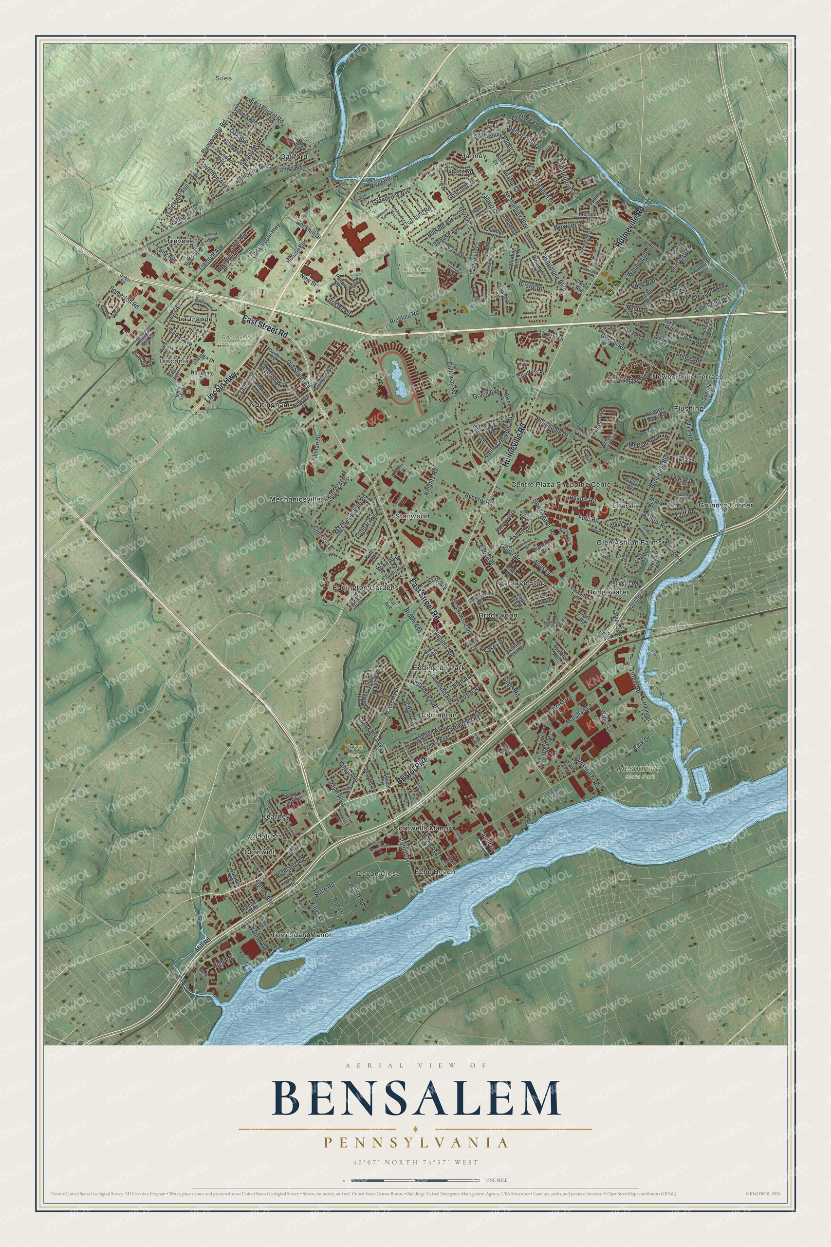
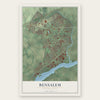
Explore Bensalem, Pennsylvania from a whole new perspective. Created using aerial imagery and detailed geographic data, this map captures Bensalem building by building, with labeled streets, familiar landmarks, and shaded topographical relief that highlights the natural contours of the landscape.
Combining modern data with the timeless character of a vintage atlas, this map is just as interesting up close as it is beautiful on the wall. Whether you grew up in Bensalem, spent memorable years there, or call it home today, this unique map is a great way to celebrate a place that means something to you. Zoom in on the preview to look for your street, and then order a print to put your memories on the wall.
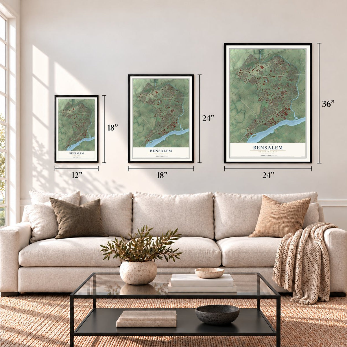
Three ways to hang it
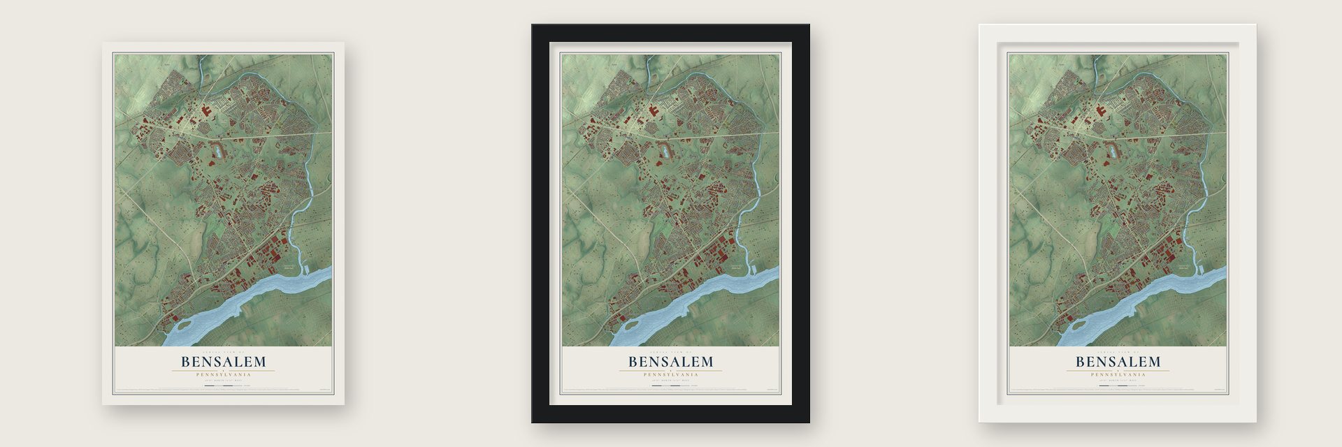
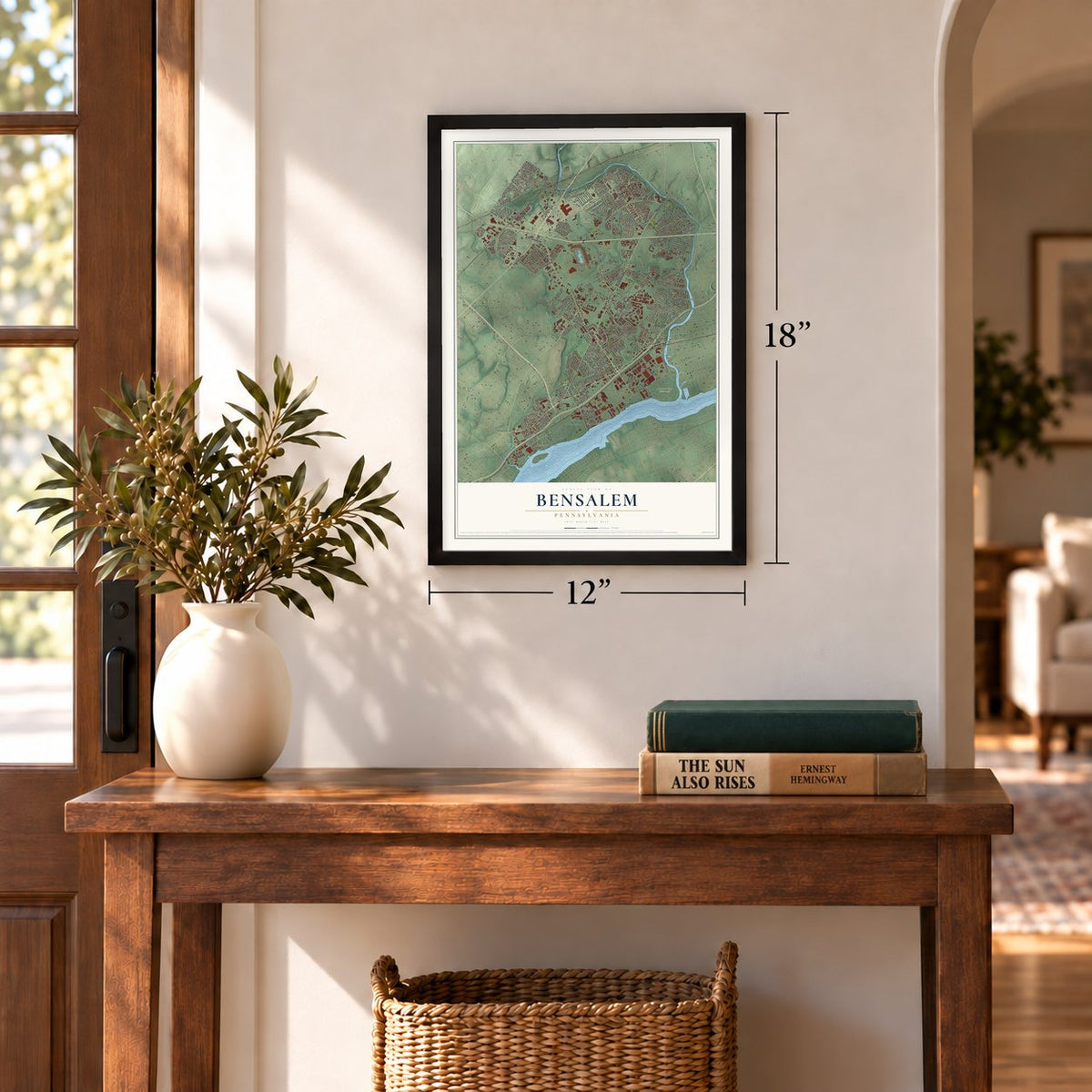
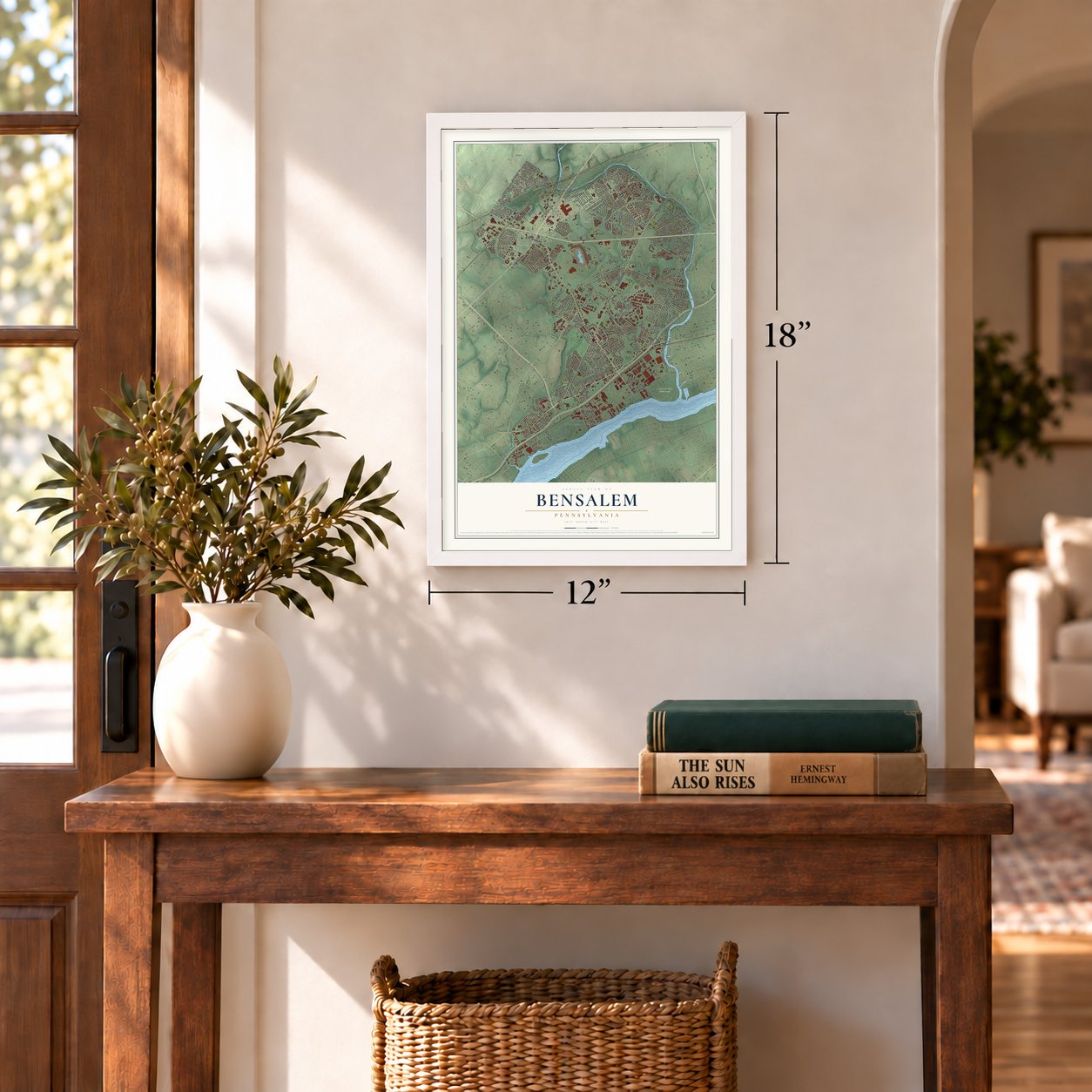
Unframed archival matte, a black wood frame or a white wood frame.
Up close
Geography Worth Displaying
This map was created using accurate cartographic data and authoritative geographic sources, including the U.S. Geological Survey and the Census Bureau. The map brings together terrain, waterways, roads, and building detail. The majority of the streets are labeled, houses are accurately depicted, and the topography is derived from government sources. Combining local data with carefully composed color and shading leads to this beautifully detailed Bensalem artwork for your wall.
Rather than simply showing street outlines, we’ve included as many of the street names as we could reasonably fit on the map while keeping their names legible. Zoom in on the high resolution preview to see exactly what’s on the map. We truly set out to create a statement piece for anyone who loves Bensalem. So whether it’s for you, or a gift for someone you love, we hope this map of Bensalem brings back fond memories.
Read the story behind this map of Bensalem, Pennsylvania from 2026.
Find your street
Names on the Bensalem map
Every name below is printed on this map. Look for your street, your school, the park where you played, or the pond down the road.
Places and landmarks32
- Siles
- King David Cemetery
- Neshaminy State Park
- Roosevelt Memorial Park
- Yezzi Park
- Andalusia
- Bridgewater
- Brookwood
- Carriage Stop
- Centre Plaza Shopping Center
- Cornwell
- Cornwells Manor
Show all 32 places
- Devon Close
- Echo Beach
- Eddington
- Eddington Gardens
- Eddington Park
- Ellerslie
- Flushing
- Glen Ashton Farms
- Grundys Corner
- Janney
- Kearney
- La Trappe
- Linconia
- Mechanicsville
- Newportville Terrace
- Nottingham
- Oakford
- Stanwood
- Torresdale Manor
- Trevose
Streets and roads268
- Bristol Pike
- East Street Road
- Hulmeville Road
- Lincoln Highway
- Knights Road
- Essex Drive
- Oriole Drive
- Garrett Avenue
- Bensalem Boulevard
- State Road
- Bristol Road
- Neshaminy Boulevard
- Neshaminy Valley Drive
- Byberry Road
- Galloway Road
- Old Lincoln Highway
- Mechanicsville Road
- Rockhill Drive
- Richlieu Road
- Dunksferry Road
- Virginia Avenue
- Bridgewater Road
- Park Avenue
- Brookwood Drive
- Brown Avenue
- Tennis Avenue
- Gibson Road
- East Bristol Road
- Mill Road
- Grandview Avenue
Show all 268 streets
- Brownsville Road
- Totem Road
- Ogden Avenue
- Pasqualone Boulevard
- Bowman Avenue
- Declaration Drive
- Edge Avenue
- Cornwells Avenue
- Somerton Road
- Finley Avenue
- Spruce Avenue
- Cedar Avenue
- Tillman Drive
- Woodbine Avenue
- Station Avenue
- Chestnut Avenue
- Washington Lane
- Ford Road
- River Road
- Park Drive
- Lavender Road
- Forrest Avenue
- Mark Circle
- Galaxy Drive
- Tremont Avenue
- Remo Crescent Road
- Old Street Road
- Highland Avenue
- Hollandale Drive
- Kingston Way
- Wexford Road
- Gravel Pike
- Marshall Lane
- Third Avenue
- Kings Lane
- Murray Avenue
- Walnut Avenue
- Winks Lane
- Cliff Road
- Constitution Drive
- Oak Avenue
- Liberty Drive
- Adams Road
- Crafton Drive
- Ashton Road
- Gilbert Drive
- Hillside Avenue
- Judson Drive
- Craig Avenue
- Bridge Road
- Iris Avenue
- Merganser Way
- Century Lane
- Colmar Avenue
- Forrest Road
- School Lane
- Rose Avenue
- High Avenue
- Kings Avenue
- Donallen Drive
- Mulberry Avenue
- Wells Drive
- Florida Avenue
- Ann Lane
- Grace Avenue
- High Road
- Cherokee Drive
- Weldon Avenue
- Brister Road
- Point Drive
- Overland Road
- Sunrise Avenue
- Moore Avenue
- Crescent Avenue
- Lewisville Avenue
- Wharf Road
- Birch Avenue
- Griscomb Drive
- Trevose Avenue
- Aspen Drive
- Academy Drive
- Adams Court
- Hudson Road
- Gibbs Road
- Wine Avenue
- Lang Avenue
- New Street
- Camer Drive
- Alvin Avenue
- Fulton Avenue
- Red Fox Road
- William Penn Drive
- Haunted Lane
- Parkview Drive
- Village Greene Boulevard
- Horizon Boulevard
- Newport Mews Drive
- Carter Road
- Cricket Lane
- Clinton Avenue
- Atlantic Avenue
- Michael Drive
- Bellview Drive
- Wildwood Avenue
- Claridge Road
- Jason Drive
- Columbia Drive
- June Avenue
- Kay Avenue
- Grove Avenue
- Flushing Road
- Wunder Avenue
- East Yates Road
- Graystone Drive
- Meredith Place
- Georgia Avenue
- Interplex Drive
- Somers Avenue
- Morrow Drive
- Willow Court
- Sunset Lane
- Terrace Avenue
- Palton Road
- Trace Road
- Wayland Avenue
- Reading Avenue
- Carters Mill Road
- Society Hill Drive
- Winding Brook Drive
- Arrowood Drive
- Blanche Road
- Canterbury Court
- Wellington Drive
- Hansell Drive
- Maple Avenue
- Pear Tree Lane
- Leeland Drive
- East Drive
- First Avenue
- Black Lake Run
- Cowcross Road
- Kleckner Road
- Camel Avenue
- Lillian Drive
- Andrea Drive
- Cesey Lane
- Roberts Road
- Louis Drive
- Portside Drive
- Ann Street
- Texas Avenue
- Dudley Court
- Glenn Avenue
- Northgate Drive
- Colonial Avenue
- Appleton Avenue
- Garland Road
- Robin Drive
- Kate Avenue
- Elk Avenue
- Allen Avenue
- Par Avenue
- Elm Avenue
- Tauton Turn
- Tulip Avenue
- Thunder Circle
- Springdale Drive
- School 28
- Tatham Road
- Yates Road
- Boston Avenue
- Saddlebrook Drive
- North Gate Road
- Glendale Drive
- Farley Road
- Amwell Street
- Dresher Road
- Senator Lane
- Garfield Lane
- Buffalo Avenue
- North Mount Vernon Circle
- Essington Way
- Orchard Avenue
- Jordan Drive
- Judson Drive East
- Wildman Avenue
- Timber Lane
- Simons Avenue
- Rosemarie Drive
- Vandergrift Lane
- Adler Road
- Myrtle Drive
- Oxford Court
- Federal Street
- Florence Lane
- Orchid Avenue
- Ebury Court
- Crespo Lane
- Palm Avenue
- Dobor Road
- West Court
- Old Bridge Road
- Neshaminy Drive
- Locust Avenue
- Beechwood Boulevard
- Paris Avenue
- Clovernook Avenue
- Treeline Drive
- Belmont Avenue
- Lowell Avenue
- Whittier Avenue
- Winchester Road
- Uranus Drive
- South Mount Vernon Circle
- Oakford Avenue
- Biddles Lane
- Clive Avenue
- Imperial Court
- Woodhaven Drive
- Richardson Avenue
- Bogle Road
- Tucker Road
- Marwin Road
- Buckingham Drive
- Williams Avenue
- Regents Court
- Chatham Drive
- Maria Circle
- Sandy Lane
- West Drive
- Pickwick Court
- Summit Lane
- Clarmont Avenue
- Rywal Lane
- Franklin Avenue
- Lisa Turn
- Knable Lane
- Eagen Court
Names are listed as they appear on the printed map. Zoom into the product photos to find them.
About Bensalem, Pennsylvania
Bensalem is a township of 62,707 people in Bucks County, the most populous municipality in the county. It lies between the Poquessing and Neshaminy creeks, with the Delaware River along its southeastern edge. The land showed up without a name on the Holme Map of 1682, and on January 2, 1685, its line with Philadelphia County was fixed along the Poquessing Creek.
At its September 1692 session, the Bucks County Court chose a jury of thirteen men to settle the boundaries of the divisions made so far. Their December report gave this township its first name, Salem. By November 19, 1701, the province's Board of Property was writing it as Bensalem. The name most likely comes from settler Joseph Growden, who called his estate the Manor of Bensalem to honor William Penn and the Semitic word for peace. A few Dutch and Swedes came first, then many English and more Dutch, and the Neshaminy and Bensalem Church was founded in 1710.
- From sailor to sheriffAround 1746 he left his ship at Philadelphia, and a Bensalem farmer named Stevens drove him home to teach school. Gibbs went on to clerk in the county office at Trevose and won election as sheriff.
- Eddington, named in 1770During the Revolution he loaned Congress money that was never paid back, and British troops showed up so often that he moved to the upper county. He died at Eddington in 1798.
- Flushing and a buttonwood treeBefore it was called Flushing, after the Long Island town where William Rodman was born, his family's farm on the Neshaminy went by Rodmanda.
- Smarty Jones's home trackKeystone Racetrack opened here in November 1974 and became Philadelphia Park in 1984. It was the first home of Smarty Jones, who won the 2004 Kentucky Derby and Preakness Stakes and came second in the Belmont Stakes, just missing the Triple Crown. Slot machines arrived in 2006, and a standalone casino opened in December 2009 under the name Parx Casino.
Keep exploring Pennsylvania
Bensalem is one of 3,725 Pennsylvania towns we've mapped. Every dot on the map is a print of its own.
The search covers every state, Pennsylvania first.
Near Bensalem
Order 2 or more town maps and save 10%. Shown in the size and finish you picked above, so they hang as a set.
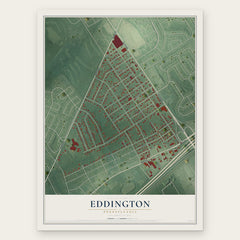
- Eddington 12" x 18" / Archival Matte Print $39.99
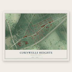
- Cornwells Heights 12" x 18" / Archival Matte Print $39.99
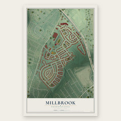
- Millbrook 12" x 18" / Archival Matte Print $39.99
More maps nearby: Croydon, Andalusia, Hulmeville, Morrell Park and Trevose.
The art of mapping a place
How This Map Was Made
Real places. Remarkable detail. Discover the layers that turn geographic data into a map of home.

The view from above
Aerial imagery reveals the character of the land: woodland, open fields, and the patterns of a place.

The shape of the land
Elevation data brings hills, valleys, and subtle changes in the landscape into view.

The details of home
Roads, waterways, and building footprints come together to make the map feel unmistakably local.

Geography becomes art
Considered color, shading, and typography bring the layers together in a map made for your wall.


Process illustrated with Mendon, Massachusetts. Aerial imagery: USDA NAIP. Terrain: USGS 3D Elevation Program. Map details and finished artwork: KNOWOL.
The Details
About This Print
Choose an archival matte print, or a black or white Ayous wood frame. The archival matte print is unframed.
Select your size and finish above to see the matching product image and price.
Materials & Craftsmanship
A contemporary map with the character of a classic atlas, printed on archival matte paper. Optional frames are made from Ayous wood.
Your printed map does not include the watermark shown in the full-map preview.
Shipping & Delivery
Free shipping within the United States. Every print is made to order in the USA.
Buying a gift? Add a note in your cart and we'll include it. We never put prices in the package.
Prints ship within 2 to 3 business days. Allow 7 to 10 days total from ordering for delivery. Timing may vary during holidays or periods of high order volume.
Read our shipping policy.
Returns and damaged prints
Each print is made to order. Change-of-mind refunds are not available after production.
If your print arrives damaged, misprinted or incorrect, contact support@knowol.com within 30 days of receiving it. Include your order number, photos and a description of the issue.
Read our full refund and replacement policy. For questions about your order, email support@knowol.com.