
Search for another town



Free U.S. delivery 7 to 10 days after you order
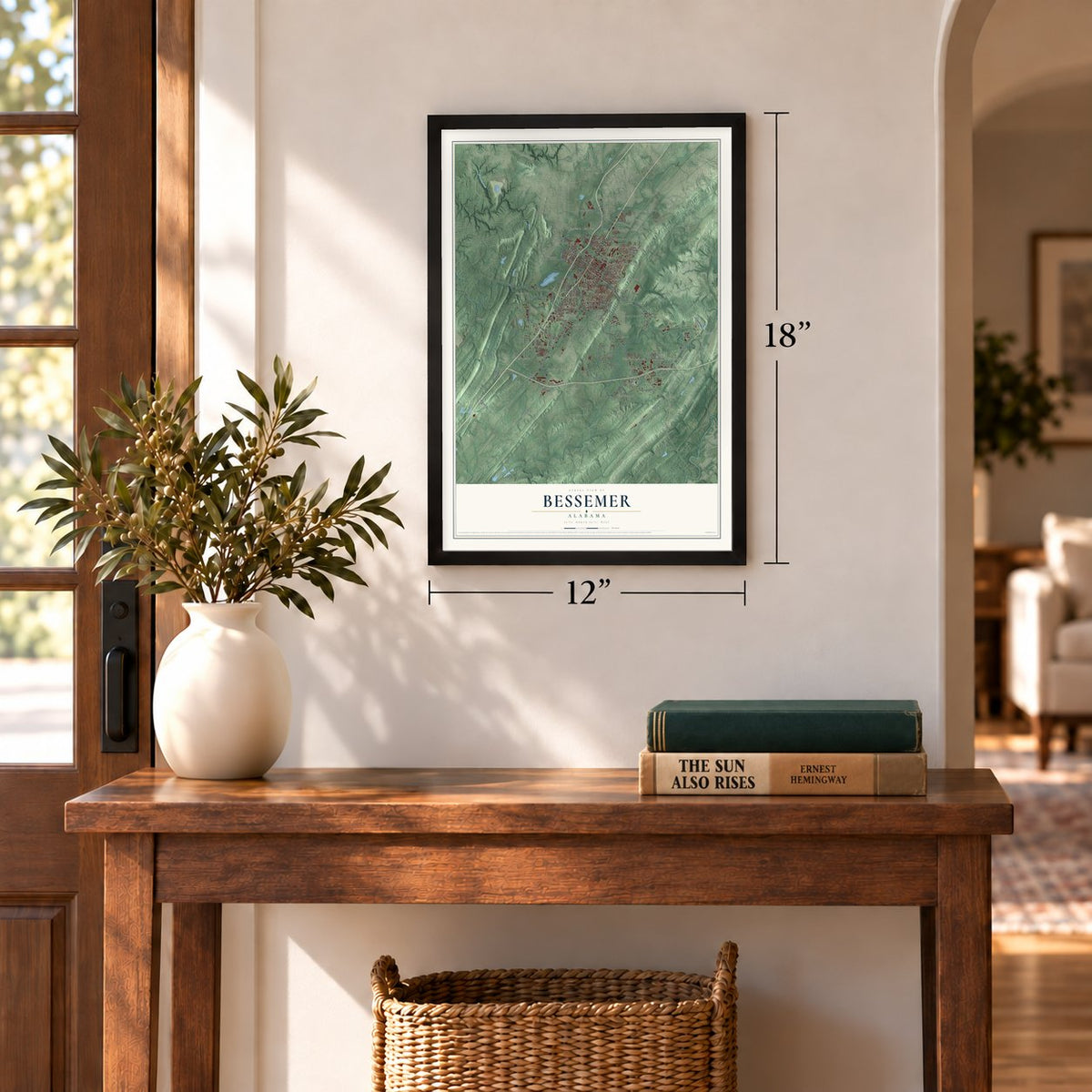
Bessemer, Alabama Map Art
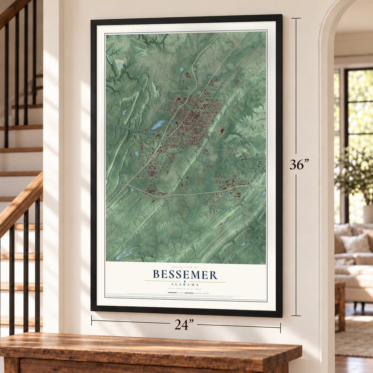
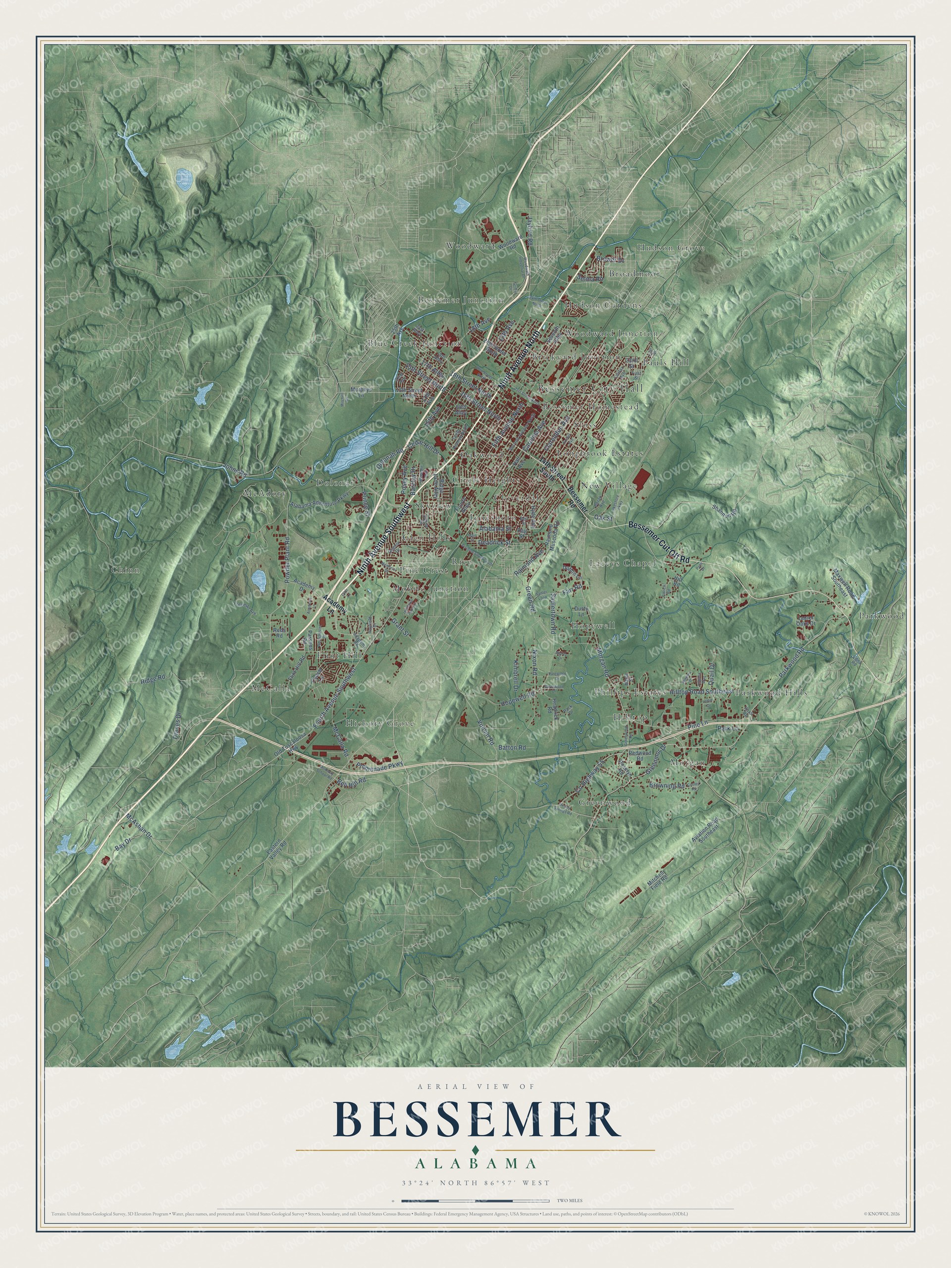
A new map of Bessemer, Alabama, made in 2026 and printed to order on thick archival matte paper.
12" x 18" Archival Matte Print
A Map of Home. A Work of Art.
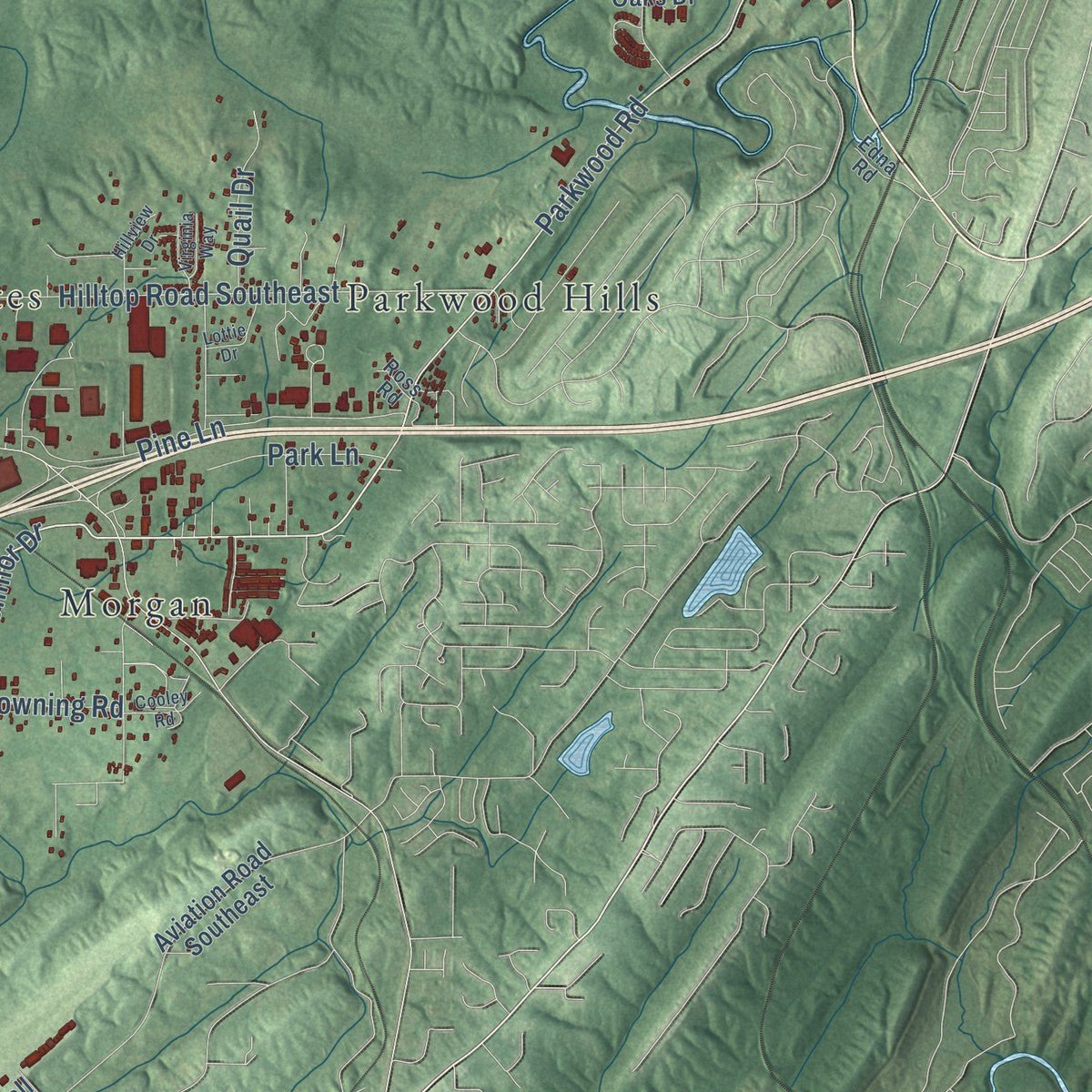
Explore Bessemer, Alabama from a whole new perspective. Created using aerial imagery and detailed geographic data, this map captures Bessemer building by building, with labeled streets, familiar landmarks, and shaded topographical relief that highlights the natural contours of the landscape.
Combining modern data with the timeless character of a vintage atlas, this map is just as interesting up close as it is beautiful on the wall. Whether you grew up in Bessemer, spent memorable years there, or call it home today, this unique map is a great way to celebrate a place that means something to you. Zoom in on the preview to look for your street, and then order a print to put your memories on the wall.
Three ways to hang it
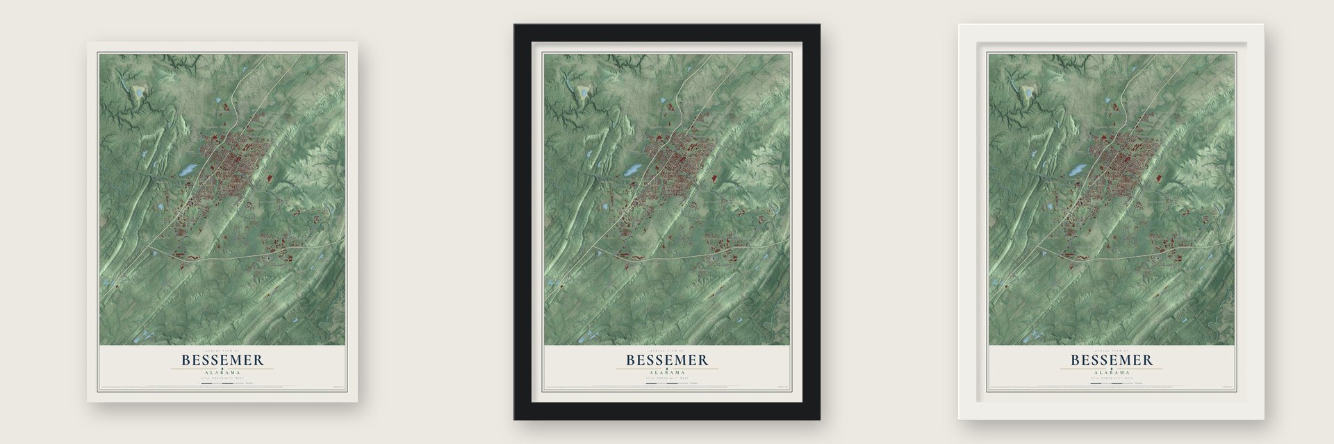
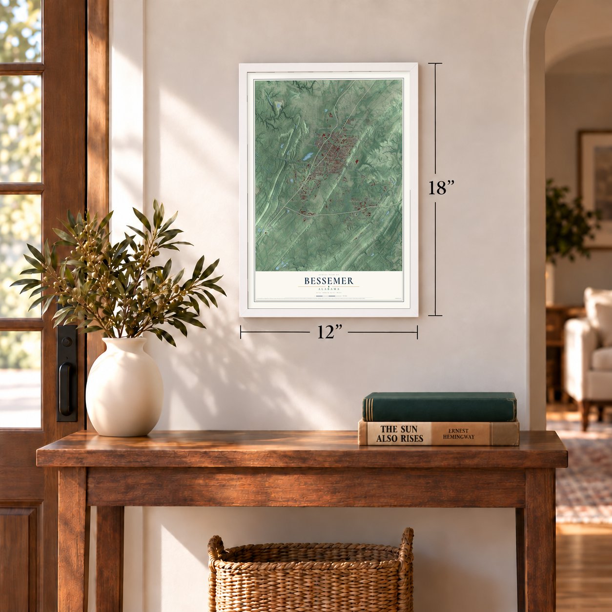
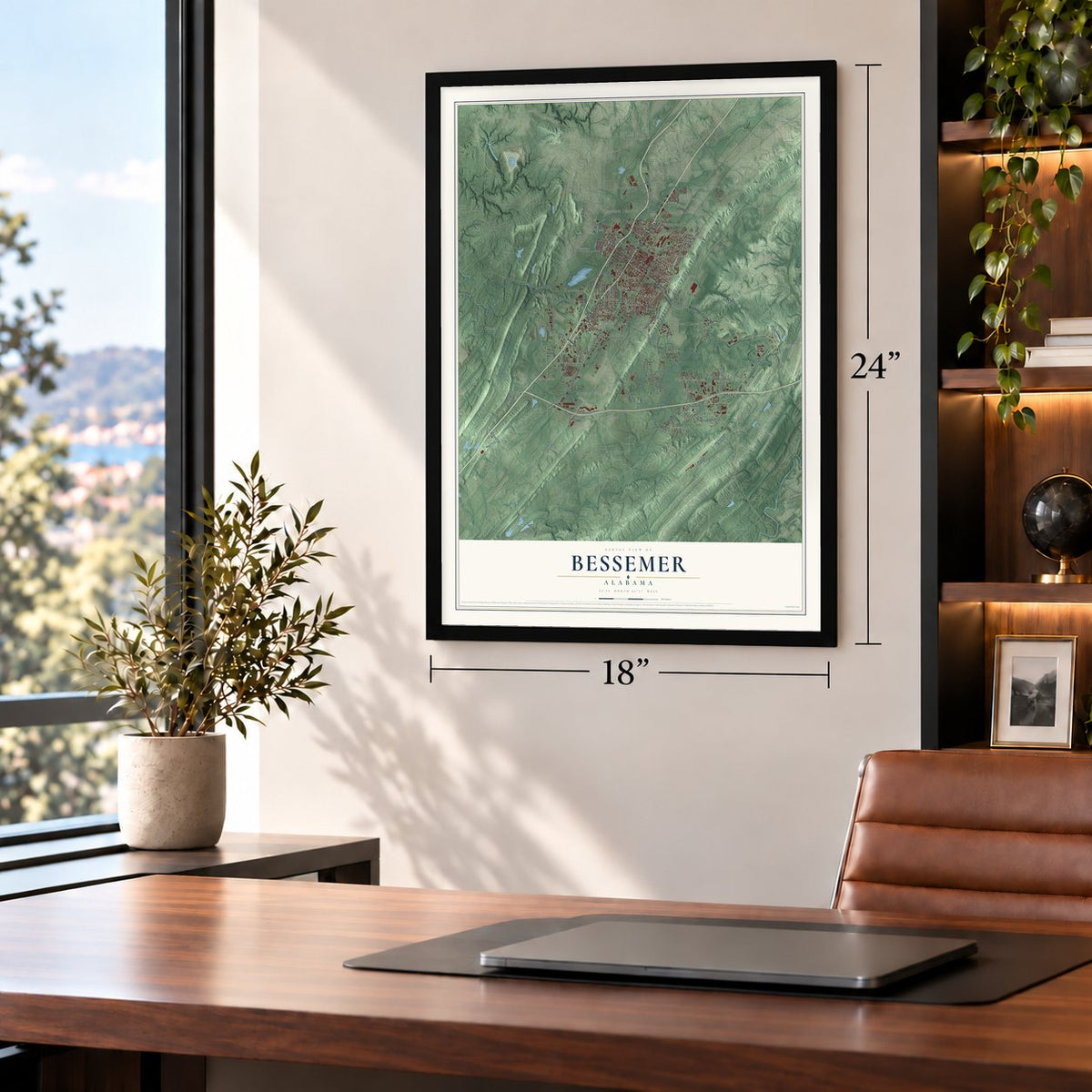
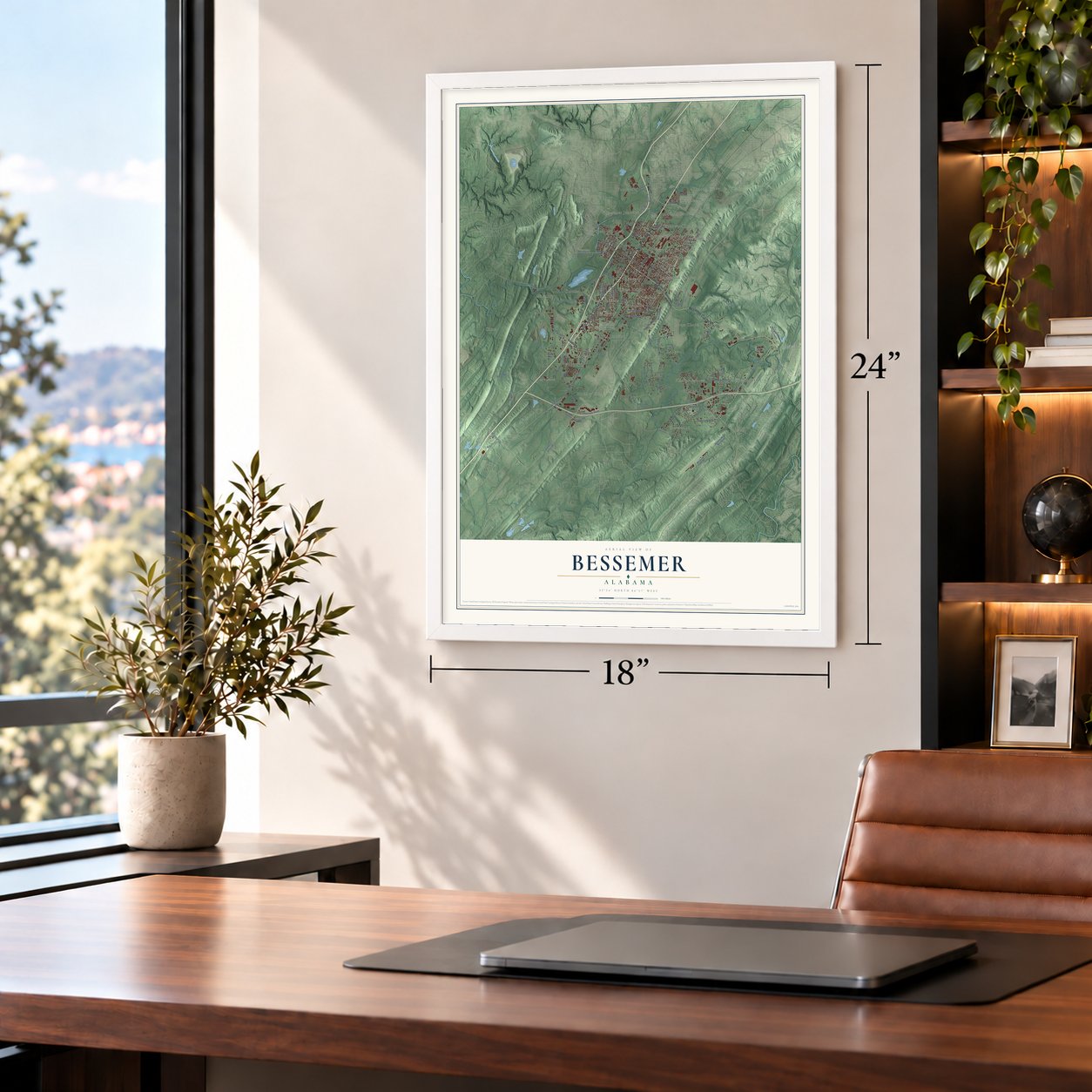
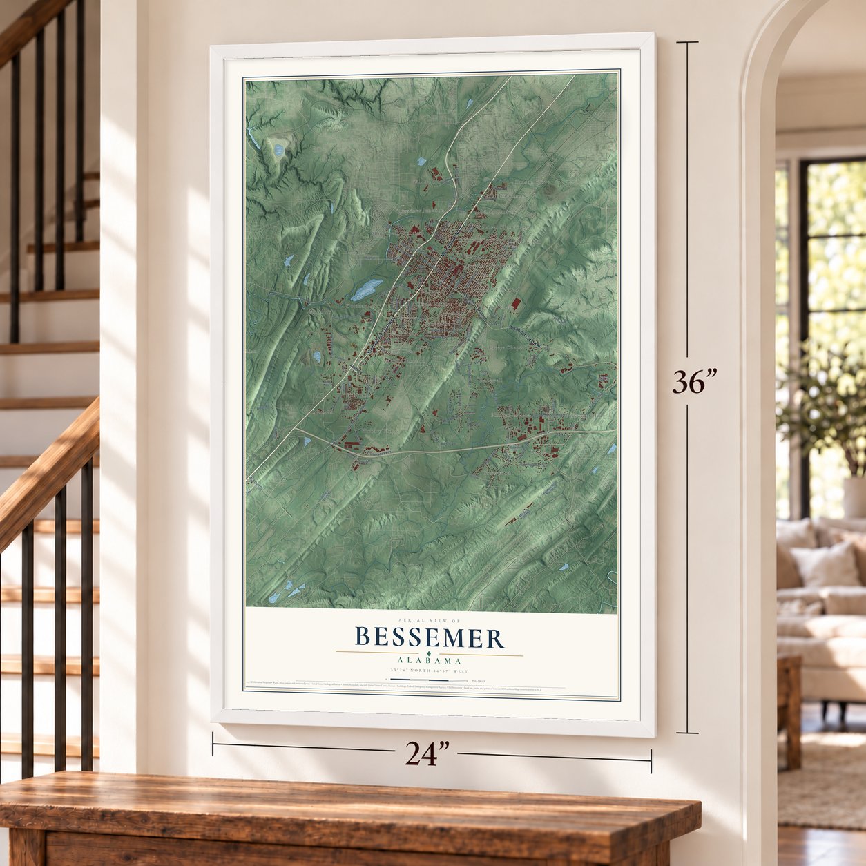
Unframed archival matte, a black wood frame or a white wood frame.
Up close
Geography Worth Displaying
This map was created using accurate cartographic data and authoritative geographic sources, including the U.S. Geological Survey and the Census Bureau. The map brings together terrain, waterways, roads, and building detail. The majority of the streets are labeled, houses are accurately depicted, and the topography is derived from government sources. Combining local data with carefully composed color and shading leads to this beautifully detailed Bessemer artwork for your wall.
Rather than simply showing street outlines, we’ve included as many of the street names as we could reasonably fit on the map while keeping their names legible. Zoom in on the high resolution preview to see exactly what’s on the map. We truly set out to create a statement piece for anyone who loves Bessemer. So whether it’s for you, or a gift for someone you love, we hope this map of Bessemer brings back fond memories.
Read the story behind this map of Bessemer, Alabama from 2026.

About Bessemer, Alabama
Bessemer is a city of 26,019 people in Jefferson County, about 15.3 miles southwest of Birmingham. In 1886 Henry Fairfield DeBardeleben became president of the Bessemer Land and Improvement Company and bought 4,000 acres for a new town to serve his iron and coal businesses. He named it for Henry Bessemer, the British engineer whose method of making steel was the most widely used of its day.
The first commercial lots went on sale in April 1887, and by June about 1,000 people lived in the new town, which already had a court and a jail. That year residents chose Robert M. McAdory as the first mayor, along with eight councilmen, and the council incorporated the city on September 9, 1887. Iron ore in the hills to the southeast, coal to the north and west, and limestone close by made Bessemer a steel center from about 1890 on.
- Exposition halls by trainAfter the Cotton Exposition held at New Orleans in 1884, DeBardeleben bought some of its halls and had them shipped to Bessemer by rail. The Mexico building became the Montezuma Hotel and was his first home in town, then in 1896 it reopened as the Montezuma University Medical College, which ran until fire destroyed it in 1900. The Jamaica building became part of a mill. Neither one survives.
- Steel, mines and U.S. SteelIn 1900 Bessemer was eighth in Alabama for population and second for money invested in manufacturing. During the recession of 1907, Tennessee Coal, Iron, and Railroad, a major employer in the area, paid down its debt by selling stock to U.S. Steel. U.S. Steel then set up a welfare program for sick and injured workers, improved the city's infrastructure and put money into schooling for children.
- Camp Fletcher, since 1926Pauline Fletcher, Alabama's first Black registered nurse, opened Camp Margaret Murray Washington on 30 acres in Bessemer in 1926. She meant it as a place where Black women and children could get out into the outdoors. In 1942 the camp was renamed Camp Fletcher in her honor.
- The Bessemer CutoffJefferson County built a branch courthouse in Bessemer in 1915 to serve the area. By the middle of the 20th century Bessemer was big enough that a county of its own was considered, but the land was too small to meet the legal rules. Instead it got a special county district, the Bessemer Cutoff, with its own license plate prefix. A new courthouse opened in October 2009, and locals still use the old name.
Find your street
Names on the Bessemer map
Every name below is printed on this map. Look for your street, your school, the park where you played, or the pond down the road.
Places and landmarks37
- Bessemer City Hall
- Bessemer Homestead
- Bessemer Junction
- Blue Creek Junction
- Brickyard Junction
- Broadmoor
- Chinn
- Circle Heights
- Cloverdale
- Dolonar
- Flint Hill
- Glen Hills
Show all 37 places
- Greenwood
- Hickory Grove
- Hilltop
- Hopewell
- Hudson Gardens
- Hudson Grove
- Jonesboro
- Laceys Chapel
- Longbrook Estates
- McAdory
- McCalla
- Mobile Junction
- Morgan
- New Village
- Oakwood
- Parkwood
- Parkwood Hills
- Pauls Hill
- Phillips Estates
- Pine Crest
- Rice
- Skyview
- Sloss
- Woodward
- Woodward Junction
Streets and roads137
- Ninth Avenue North
- Ninth Avenue Southwest
- Bessemer Cut Off Road
- Parkwood Road
- Greenmor Drive
- Vulcan Road
- Bell Hill Road
- Cedar Hill Drive
- Posey Avenue
- Dolonah Road
- Morgan Road
- Fourth Avenue Southwest
- Fifth Avenue North
- Powder Plant Road
- Clarendon Avenue
- Carolina Avenue
- 18th Street North
- 15th Street North
- Hopewell Road
- Hilltop Road Southeast
- 16th Street North
- McCalla Road
- Nixon Road
- Pine Lane
- Oak Street
- Jaybird Road
- 18th Avenue
- Ridge Road
- County Highway 55
- 15th Avenue
Show all 137 streets
- Johns Road
- Bay Drive
- Browning Road
- Promenade Parkway
- Dianes Drive
- Prince Street
- Sadlertown Road
- Alabama Street
- Selma Road
- Green Road
- Deadrick Street
- Quail Drive
- Park Lane
- Raimund Avenue
- Batton Road
- Brewer Drive
- Kimbrell Drive
- Barclay Drive
- Grant Street
- McAshan Drive
- Farr Road
- 17th Alley
- 13th Avenue
- Bessemer Road
- 14th Street South
- Academy Lane
- Shannon Road
- Academy Drive
- Roselyn Road
- Alabama Adventure Parkway
- Flint Hill Road
- 13th Street North
- Eastern Valley Road
- Raimund Muscoda Road
- Old Tuscaloosa Highway
- Aviation Road Southeast
- Woodward Road
- Fourth Alley
- 24th Street North
- Maxwell Road Southeast
- 14th Alley
- Murphys Lane
- Seventh Alley
- Hall Avenue
- Laurel Oaks Drive
- Ridge Lane Alley
- Headrick Road
- Ray Street
- 33rd Street
- Mitchell Field Road
- Hyde Avenue
- 17th Avenue
- 25th Avenue
- Redwood Road
- Dublin Lane
- Parsons Road
- Coach Lane
- Reds Road
- Dusty Lane
- Hill Road
- Fairfax Avenue
- Second Avenue North
- Tenth Avenue North
- 22nd Avenue
- 19th Alley
- Freeman Avenue
- Borah Avenue
- Pack Drive
- Academy Road
- First Street
- Gramor Drive
- Maple Street
- Rayfield Drive
- 21st Alley
- Bell Street
- Ross Road
- Edna Road
- Dickey Springs Road
- Lakeshore Parkway
- Exeter Avenue
- 20th Street North
- 21st Street North
- Westlake Mall
- Westchester Drive
- Memorial Drive
- McAdory School Road
- Woodward Industrial Drive
- Industrial Park Circle
- Main Street
- Greenwood Road
- Hillside Road
- Division Street South
- Cooley Road
- 34th Street North
- Sadler Loop
- Gaylewood Drive
- Hillview Drive
- Lottie Drive
- Patewood Drive
- Virginia Way
- Aldrich Road
- Mitchell Road
- First Place
- Sherry Drive
- Pyne Drive
- Civic Lane
- Griffin Drive
Names are listed as they appear on the printed map. Zoom into the product photos to find them.
The art of mapping a place
How This Map Was Made
Real places. Remarkable detail. Discover the layers that turn geographic data into a map of home.

The view from above
Aerial imagery reveals the character of the land: woodland, open fields, and the patterns of a place.

The shape of the land
Elevation data brings hills, valleys, and subtle changes in the landscape into view.

The details of home
Roads, waterways, and building footprints come together to make the map feel unmistakably local.

Geography becomes art
Considered color, shading, and typography bring the layers together in a map made for your wall.


Process illustrated with Mendon, Massachusetts. Aerial imagery: USDA NAIP. Terrain: USGS 3D Elevation Program. Map details and finished artwork: KNOWOL.
The Details
About This Print
Choose an archival matte print, or a black or white Ayous wood frame. The archival matte print is unframed.
Select your size and finish above to see the matching product image and price.
Materials & Craftsmanship
A contemporary map with the character of a classic atlas, printed on archival matte paper. Optional frames are made from Ayous wood.
Your printed map does not include the watermark shown in the full-map preview.
Shipping & Delivery
Free shipping within the United States. Every print is made to order in the USA.
Buying a gift? Add a note in your cart and we'll include it. We never put prices in the package.
Prints ship within 2 to 3 business days. Allow 7 to 10 days total from ordering for delivery. Timing may vary during holidays or periods of high order volume.
Read our shipping policy.
Returns and damaged prints
Each print is made to order. Change-of-mind refunds are not available after production.
If your print arrives damaged, misprinted or incorrect, contact support@knowol.com within 30 days of receiving it. Include your order number, photos and a description of the issue.
Read our full refund and replacement policy. For questions about your order, email support@knowol.com.
Find your town
Looking for another city?
Find a map of home in our Alabama collection, or any town in the country.
Nearby
Maps of towns near Bessemer
Know someone from one of these towns? Their map makes a great gift.
 Hueytown
, Alabama
From $39.99See the map
 Lipscomb
, Alabama
From $39.99See the map
 Brighton
, Alabama
From $39.99See the map
More maps nearby: McCalla, Midfield, Concord, North Johns and Helena.