
Search for another town


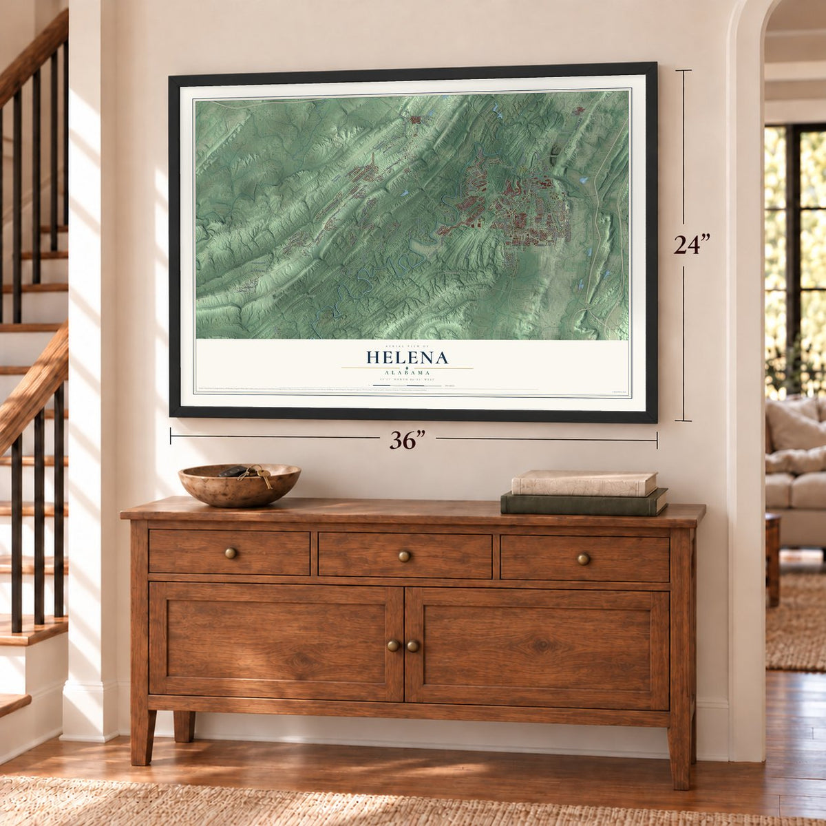
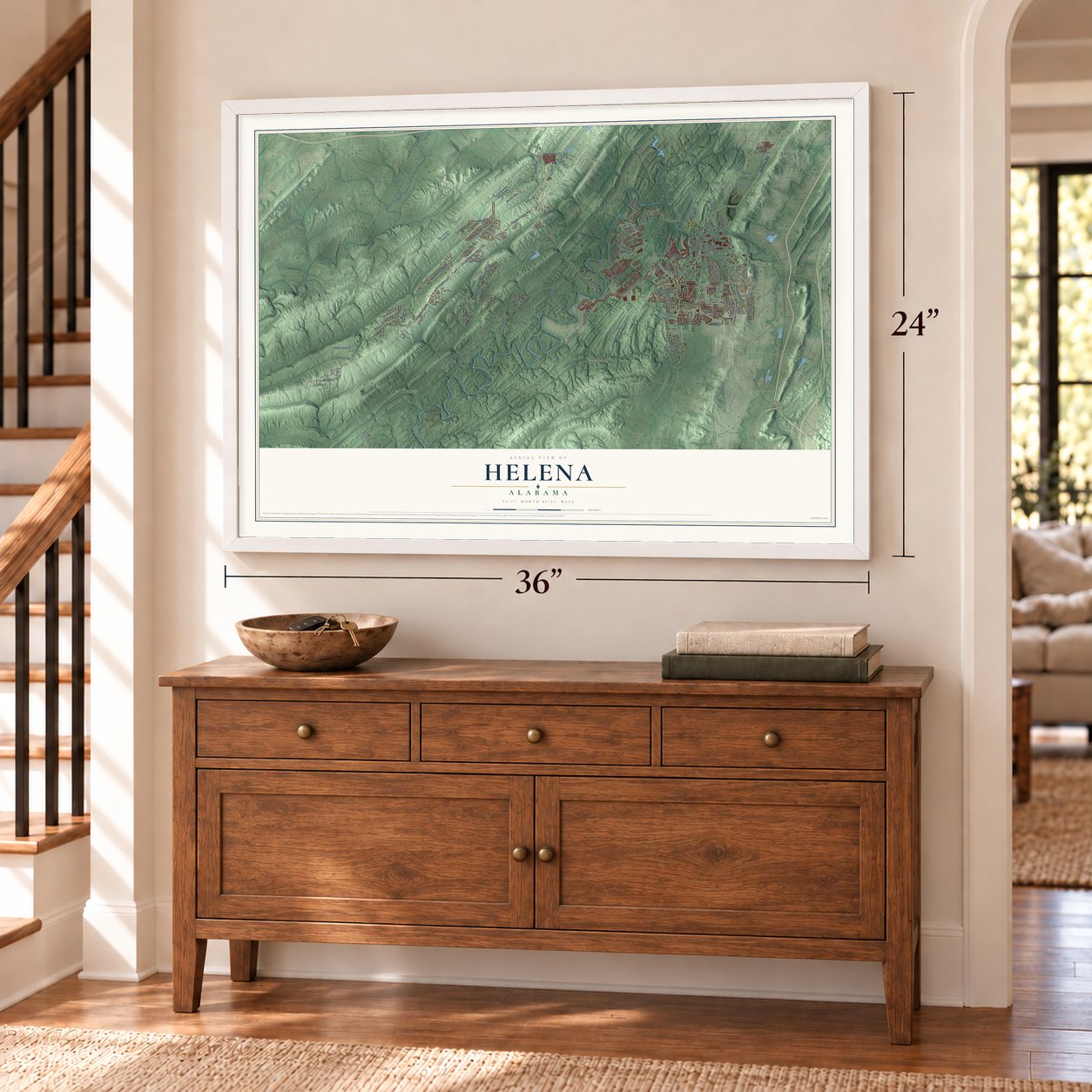

Free U.S. delivery 7 to 10 days after you order
Helena, Alabama Map Art
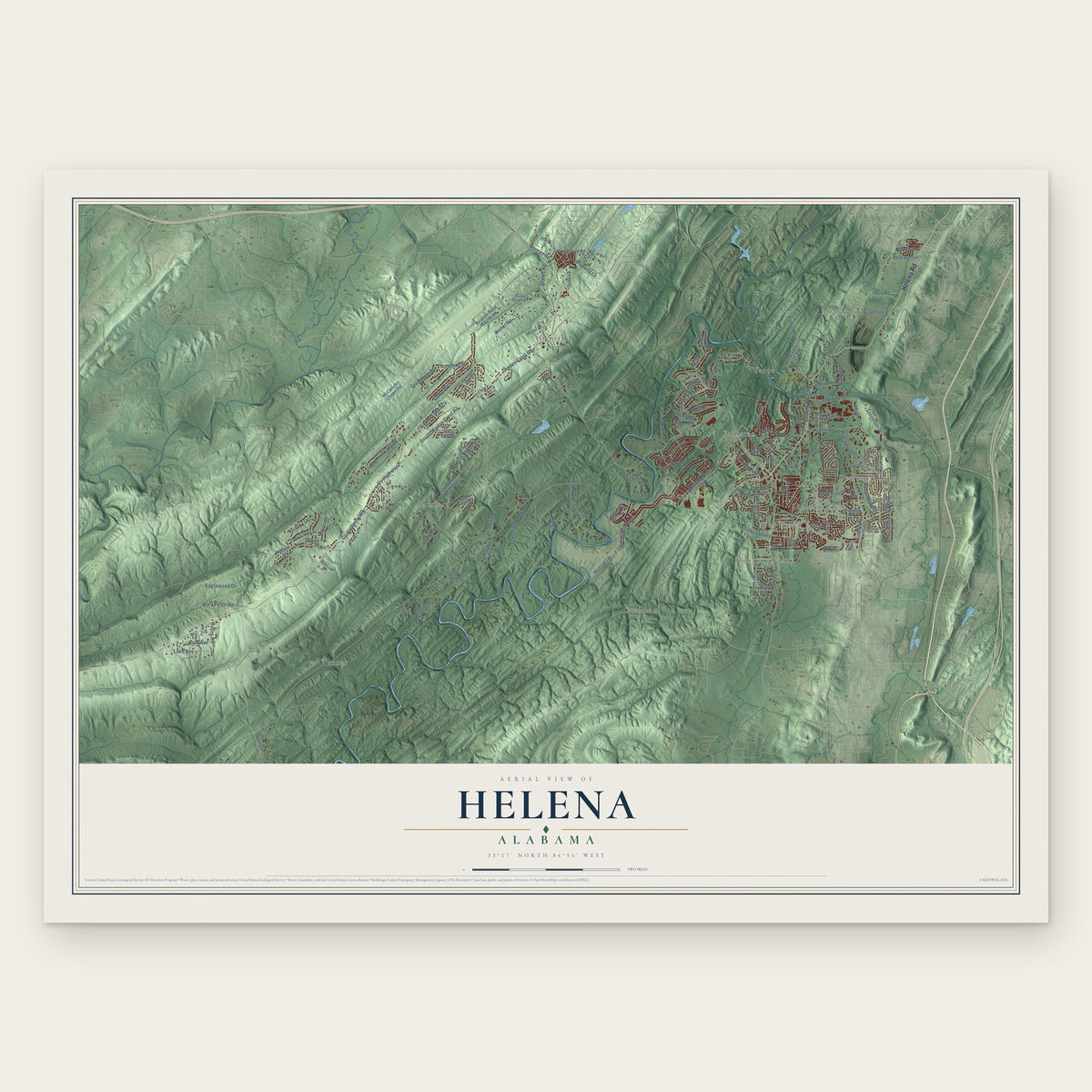
A new map of Helena, Alabama, made in 2026 and printed to order on thick archival matte paper.
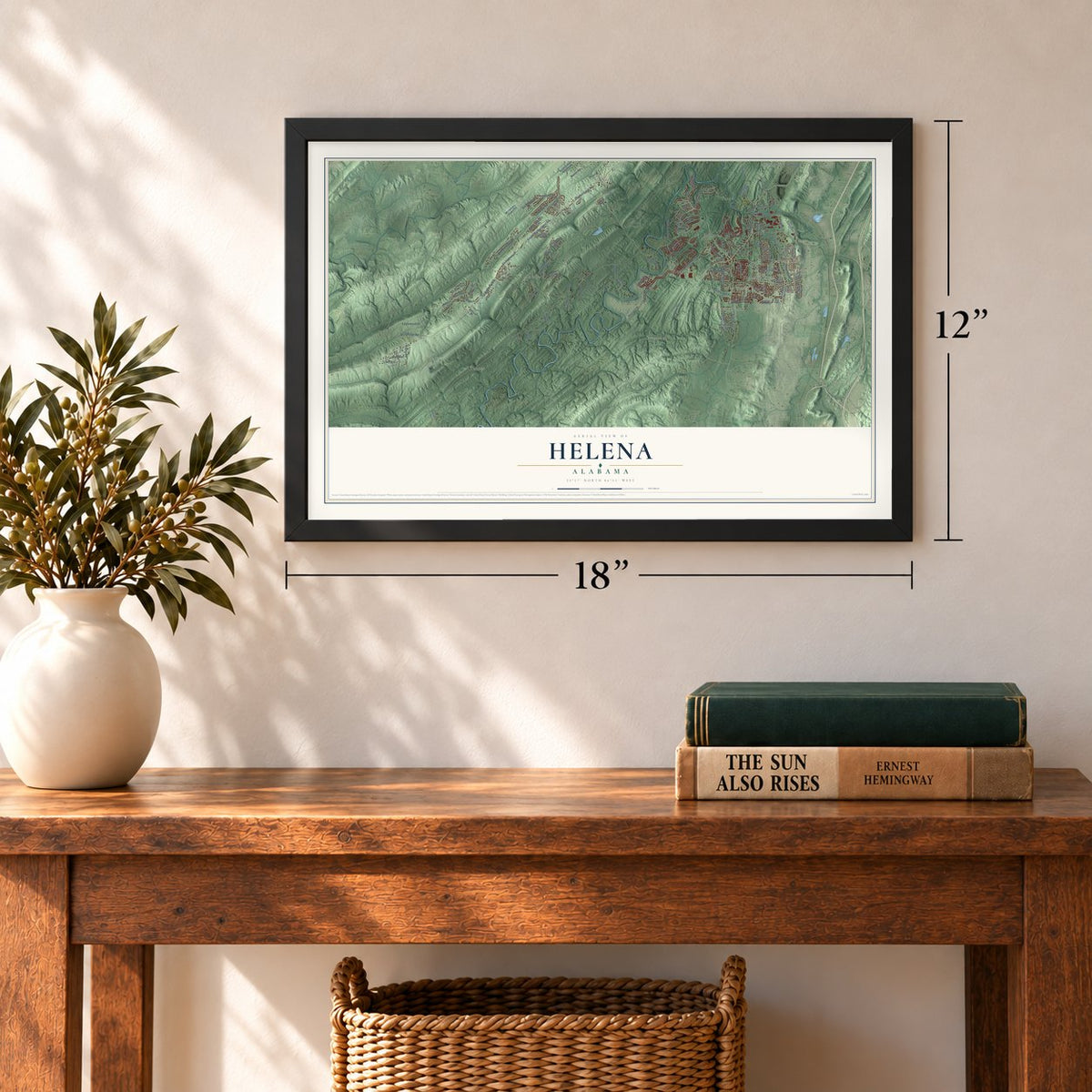
12" x 18" Archival Matte Print
A Map of Home. A Work of Art.
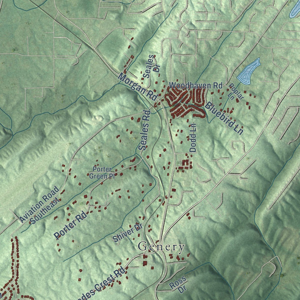
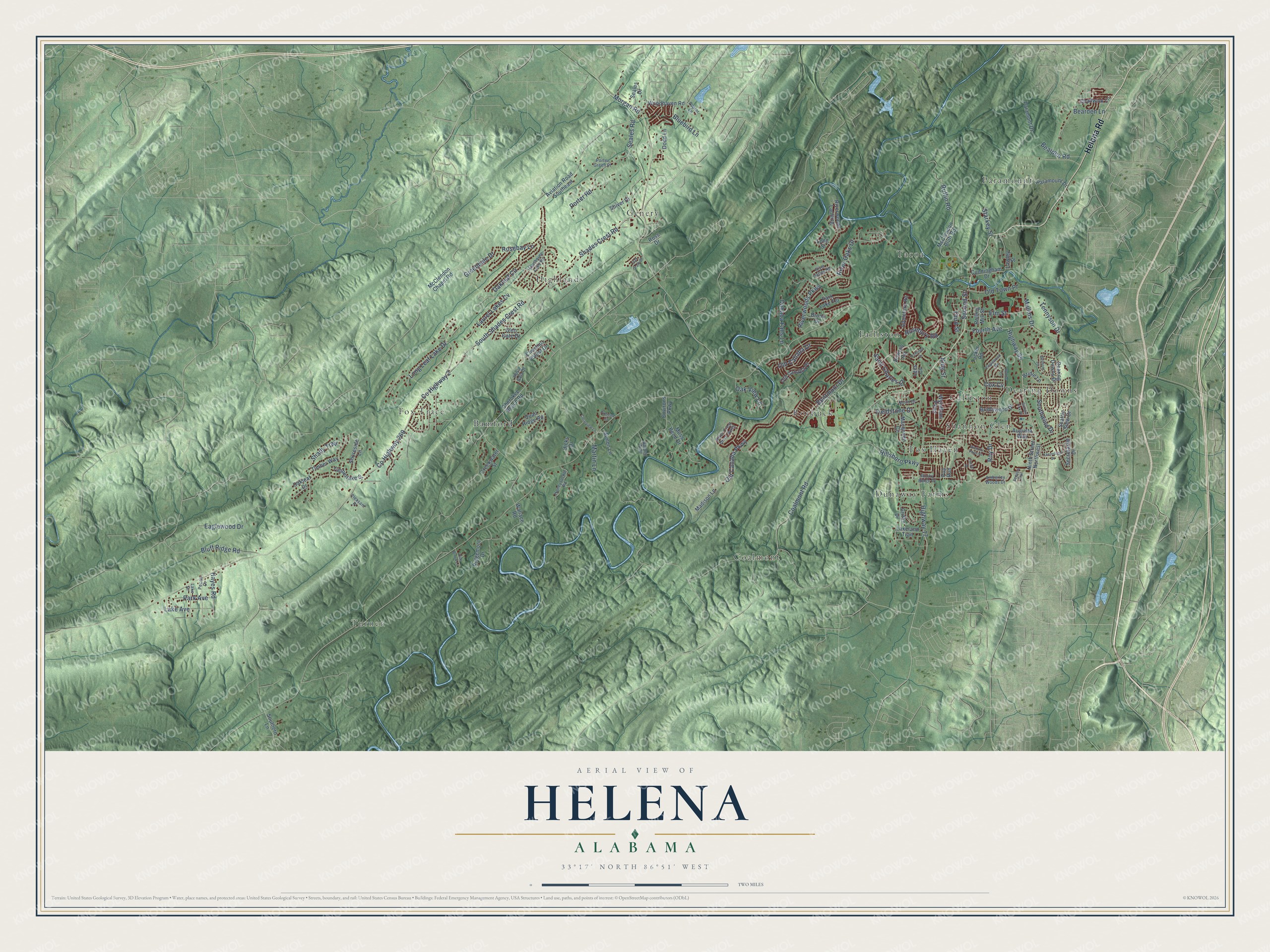
Explore Helena, Alabama from a whole new perspective. Created using aerial imagery and detailed geographic data, this map captures Helena building by building, with labeled streets, familiar landmarks, and shaded topographical relief that highlights the natural contours of the landscape.
Combining modern data with the timeless character of a vintage atlas, this map is just as interesting up close as it is beautiful on the wall. Whether you grew up in Helena, spent memorable years there, or call it home today, this unique map is a great way to celebrate a place that means something to you. Zoom in on the preview to look for your street, and then order a print to put your memories on the wall.
Three ways to hang it
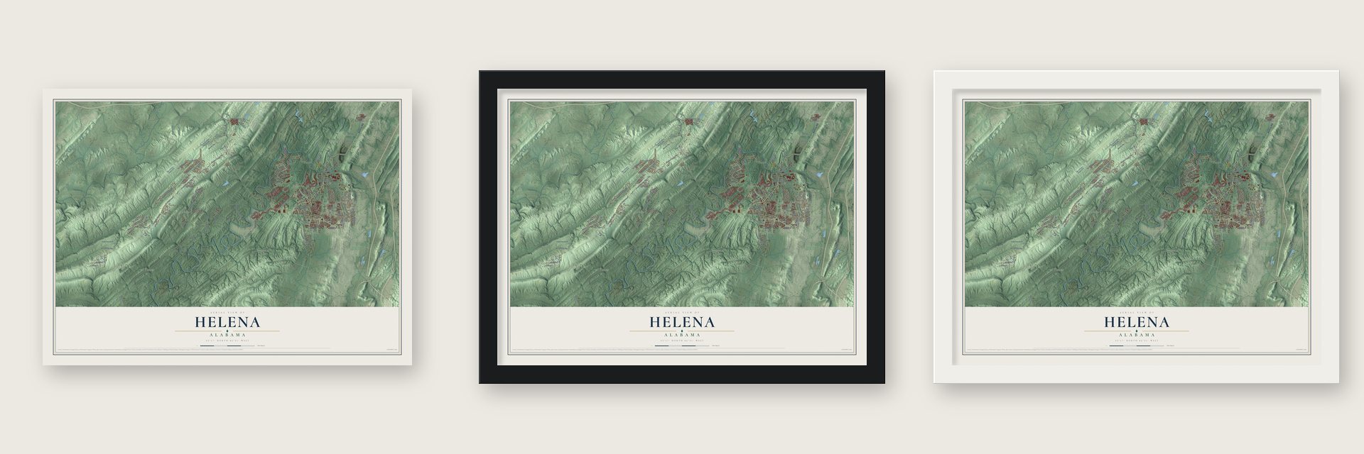
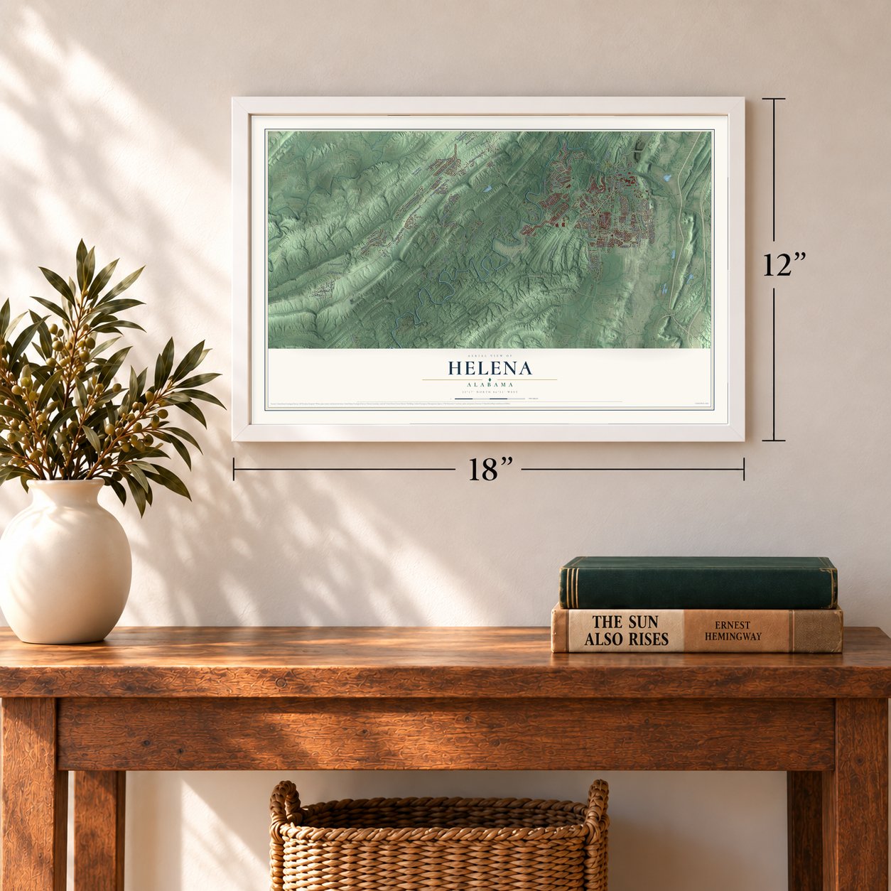
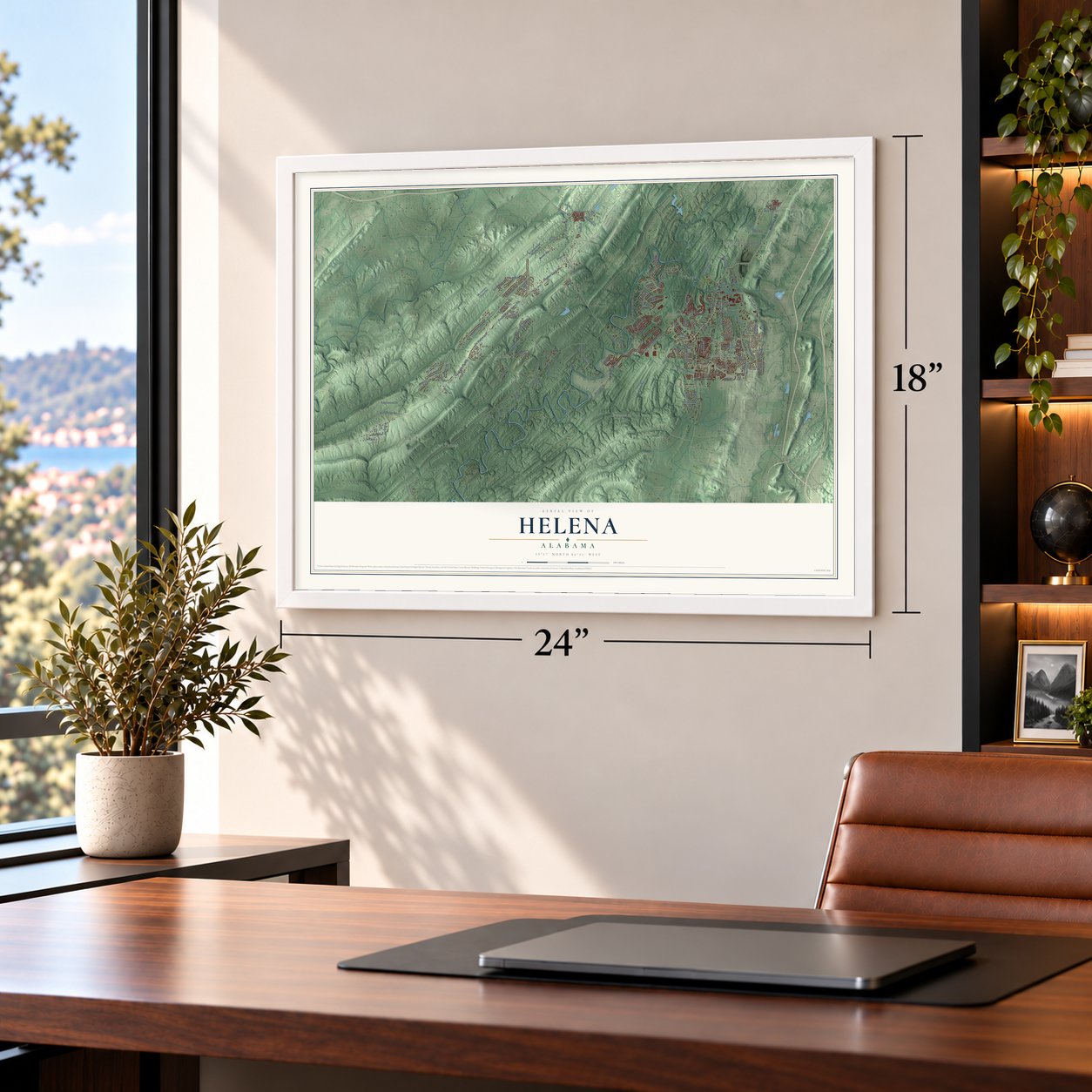
Unframed archival matte, a black wood frame or a white wood frame.
Up close
Geography Worth Displaying
This map was created using accurate cartographic data and authoritative geographic sources, including the U.S. Geological Survey and the Census Bureau. The map brings together terrain, waterways, roads, and building detail. The majority of the streets are labeled, houses are accurately depicted, and the topography is derived from government sources. Combining local data with carefully composed color and shading leads to this beautifully detailed Helena artwork for your wall.
Rather than simply showing street outlines, we’ve included as many of the street names as we could reasonably fit on the map while keeping their names legible. Zoom in on the high resolution preview to see exactly what’s on the map. We truly set out to create a statement piece for anyone who loves Helena. So whether it’s for you, or a gift for someone you love, we hope this map of Helena brings back fond memories.
Read the story behind this map of Helena, Alabama from 2026.

About Helena, Alabama
Helena is a city of 20,914 people in Shelby and Jefferson counties, where Buck Creek meets the Cahaba River south of Birmingham. Settlers arrived in the mid-1830s and called the place Cove, a post office opened in 1849, and in 1856 the settlement became Hillsboro. In the 1860s a railroad spur reached the local coal mines, and a rolling mill went up to make iron for the Confederacy. Union cavalry under Gen. James H. Wilson burned the mill in March 1865.
After the war the Louisville & Nashville Railroad built a depot here and called it Helena Station, and the town that grew around it slowly took in Hillsboro. The rolling mill reopened in 1873, fed by nearby coal mines that also supplied Birmingham's growing iron and steel works. Helena was incorporated in 1877 and opened its first school around 1878. Mistakes later turned up in the original papers, so the city incorporated again in 1917.
- Named for Helen LeePeter Boyle, an engineer laying out a new rail line, met Helen Lee and courted her. He named the station that served the rolling mill in her honor, and in time the whole town took the name Helena from the station.
- Rebuilt after Wilson's RaidWilson's troops passed through on March 30, 1865, wrecking much of the new industry and many homes. Within a few years the Eureka Company had coke ovens running, by 1870, and Rufus Cobb, later a two-term governor, backed the mill's rebuilding. Joseph Squire surveyed the town in 1873. By 1880 Helena had six mercantile stores, a drugstore, two hotels and several boarding houses, and the L&N added a rail yard.
- The tornado of 1933Helena was already struggling: the mines were winding down, the steel mill, then called Conner Steel, had moved to Birmingham, and the rolling mill closed in 1923. Around 3 AM on May 5, 1933, a tornado tore through the center of town, killing 13, destroying more than 100 homes and tipping over railroad cars. The city recovered, and late in the twentieth century it grew fast as Birmingham's suburbs spread south into Shelby County.
- Buck Creek Festival since 2001Helena holds the Buck Creek Festival each May, on the second weekend of the month. What started as a single day now runs for two, and it draws an average crowd of 15,000. Visitors hear over 10 musical acts, browse the booths of over 100 vendors and watch a rubber duck race with 2,000-plus entries. Over the years, more than $140,000 from the event has gone to charity.
Find your street
Names on the Helena map
Every name below is printed on this map. Look for your street, your school, the park where you played, or the pond down the road.
Places and landmarks15
- Bamford
- Calliston
- Coalmont
- Dearing Downs
- Dunaway Farms
- Falliston
- Fox Haven
- Fox Trace
- Genery
- Highlands
- Paramount
- Roebuck
Show all 15 places
- Shannon Glen
- Tacoa
- Turner
Streets and roads129
- Helena Road
- South Shades Crest Road
- County Highway 2
- County Highway 269
- Shades Crest Road
- Riverwoods Parkway
- Fieldstone Drive
- Bluff Ridge Road
- Highway 95
- River Oaks Drive
- Coalmont Road
- Hillsboro Parkway
- Ruffin Road
- Old Cahaba Parkway
- Morgan Road
- Roy Drive
- Old Cahaba Drive
- Eaglewood Drive
- Oakleaf Circle
- Bearden Road
- Seales Road
- Shady Trail
- Long Leaf Lake Drive
- Porter Road
- Bearden Lane
- Rosebury Road
- Highway 17
- Fourth Avenue
- Laurel Lakes Cv
- Bentmoor Drive
Show all 129 streets
- Cahaba Falls Lane
- Lake Avenue
- Old Town Place
- Southwind Drive
- Oak View Lane
- Elm Street
- Saint Charles Drive
- Mullins Drive
- Bluebird Lane
- Third Street
- Second Street
- Hayes Road
- Greendale Drive
- Rosebay Lane
- Park Avenue
- Starkey Street
- Tennyson Drive
- Martin Lane
- Cox Cv
- King Street
- Appleford Road
- McClendon Bluff Road
- Ninth Street Northwest
- Secretariat Drive
- McClendon Chapel Road
- Aviation Road Southeast
- Environs Parkway
- Ridgemont Drive
- Cunningham Drive
- Dearing Downs Drive
- Bridlewood Drive
- Moss Bend Drive
- Paramont Drive
- Riverwoods Landing
- Quail Ridge Road
- Bowron Road
- Woodhaven Road
- Wyndham Parkway
- Park Lake Terrace
- Pup Run
- Paramount Drive
- Old Canaba Place
- Tucker Road
- Seattle Slew Drive
- Armon Lane
- Timberlake Drive
- Rolling Mill Street
- Timber Way
- Chadwick Lane
- Madison Lane
- Chestnut Forest Drive
- Seales Drive
- Long Street
- Glen Gate Drive
- Shoreside Lane
- Creekwater Street
- Southern Lane
- Wallace Road
- Lakeland Trail
- Cherokee Beach Road
- Brook Drive
- Macqueen Circle
- Hicks Drive
- Oakleaf Drive
- Shiver Drive
- Augusta Way
- Griffin Drive
- Bridle Lane
- Lawley Street
- Dodd Lane
- Ross Drive
- Lees Cv
- River Valley Road
- Hawthorne Lake Road
- Pleasant Place
- Pecan Drive
- Honeysuckle Road
- Rocky Ridge Drive
- Lake Drive
- River Crest Drive North
- Amberley Woods Drive
- North Drive
- Garden Trail
- Royal Gala Drive
- Porter Green Place
- Poplar Lane
- Englewood Road
- Hollow Lane
- Belmont Lane
- Keeneland Drive
- Falliston Drive
- Timber Drive
- Clearview Lane
- Hickory Point Drive
- Gallant Fox Drive
- Oak Brook Lane
- Prescott Circle
- Sequoia Trail
- Oak Park Drive
Names are listed as they appear on the printed map. Zoom into the product photos to find them.
The art of mapping a place
How This Map Was Made
Real places. Remarkable detail. Discover the layers that turn geographic data into a map of home.

The view from above
Aerial imagery reveals the character of the land: woodland, open fields, and the patterns of a place.

The shape of the land
Elevation data brings hills, valleys, and subtle changes in the landscape into view.

The details of home
Roads, waterways, and building footprints come together to make the map feel unmistakably local.

Geography becomes art
Considered color, shading, and typography bring the layers together in a map made for your wall.


Process illustrated with Mendon, Massachusetts. Aerial imagery: USDA NAIP. Terrain: USGS 3D Elevation Program. Map details and finished artwork: KNOWOL.
The Details
About This Print
Choose an archival matte print, or a black or white Ayous wood frame. The archival matte print is unframed.
Select your size and finish above to see the matching product image and price.
Materials & Craftsmanship
A contemporary map with the character of a classic atlas, printed on archival matte paper. Optional frames are made from Ayous wood.
Your printed map does not include the watermark shown in the full-map preview.
Shipping & Delivery
Free shipping within the United States. Every print is made to order in the USA.
Buying a gift? Add a note in your cart and we'll include it. We never put prices in the package.
Prints ship within 2 to 3 business days. Allow 7 to 10 days total from ordering for delivery. Timing may vary during holidays or periods of high order volume.
Read our shipping policy.
Returns and damaged prints
Each print is made to order. Change-of-mind refunds are not available after production.
If your print arrives damaged, misprinted or incorrect, contact support@knowol.com within 30 days of receiving it. Include your order number, photos and a description of the issue.
Read our full refund and replacement policy. For questions about your order, email support@knowol.com.
Find your town
Looking for another city?
Find a map of home in our Alabama collection, or any town in the country.
Nearby
Maps of towns near Helena
Know someone from one of these towns? Their map makes a great gift.
 Brantleyville
, Alabama
From $39.99See the map
 Alabaster
, Alabama
From $39.99See the map
 Hoover
, Alabama
From $39.99See the map
More maps nearby: Bessemer, McCalla, Pelham, Indian Springs Village and Lipscomb.