


Search for another town





Free U.S. delivery 7 to 10 days after you order
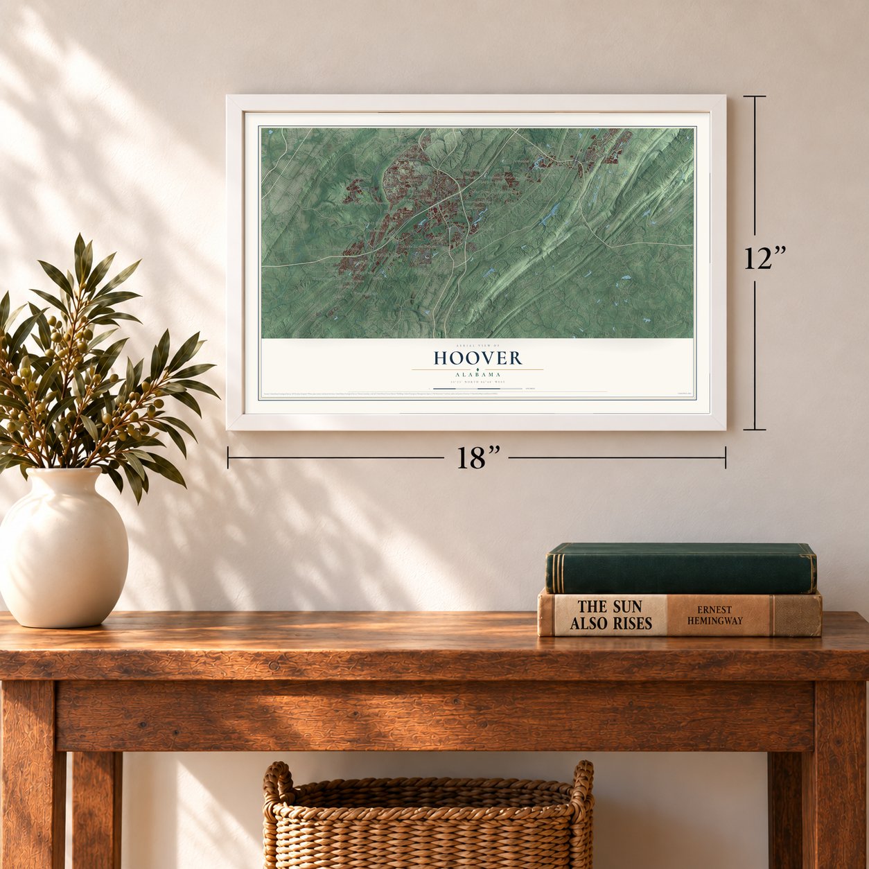
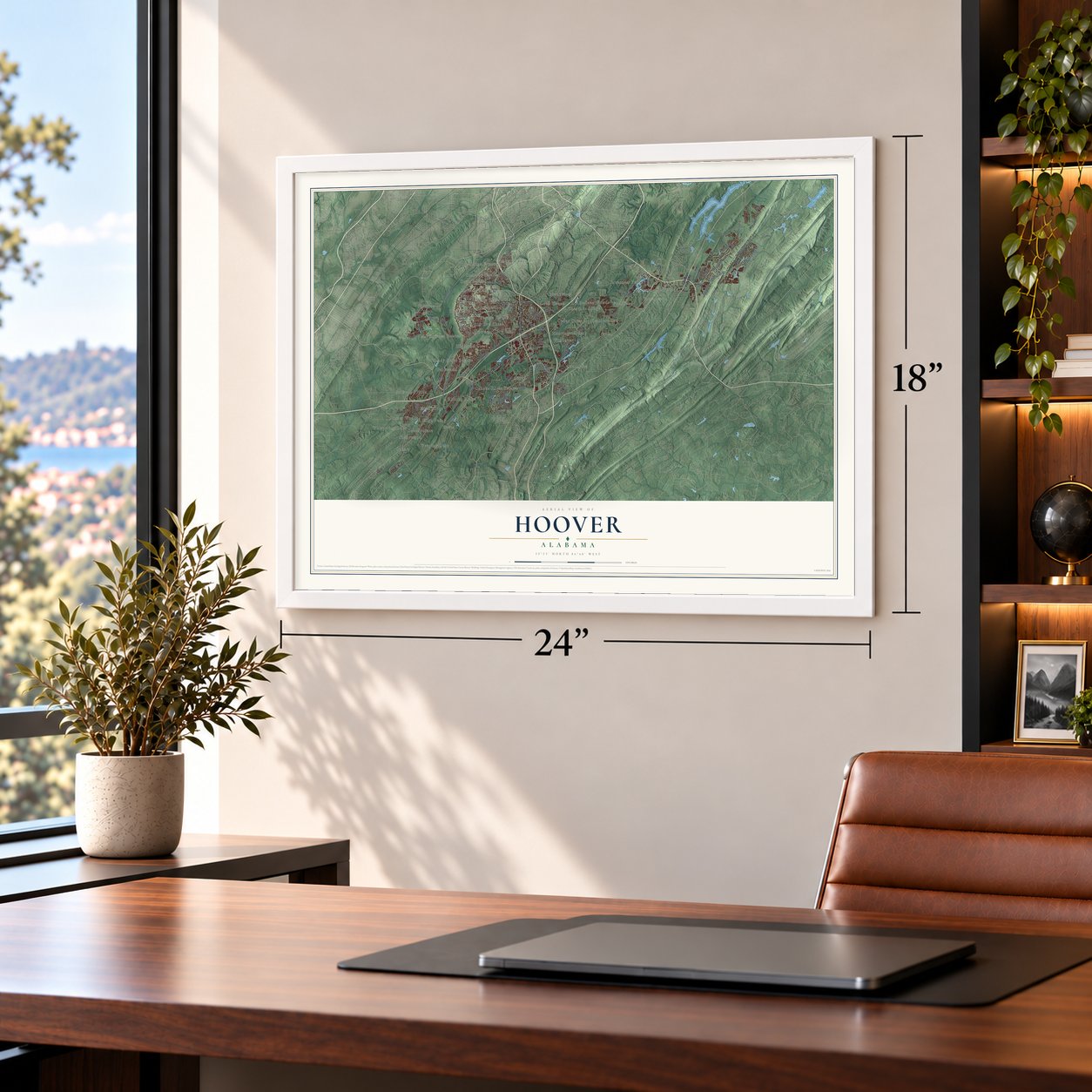
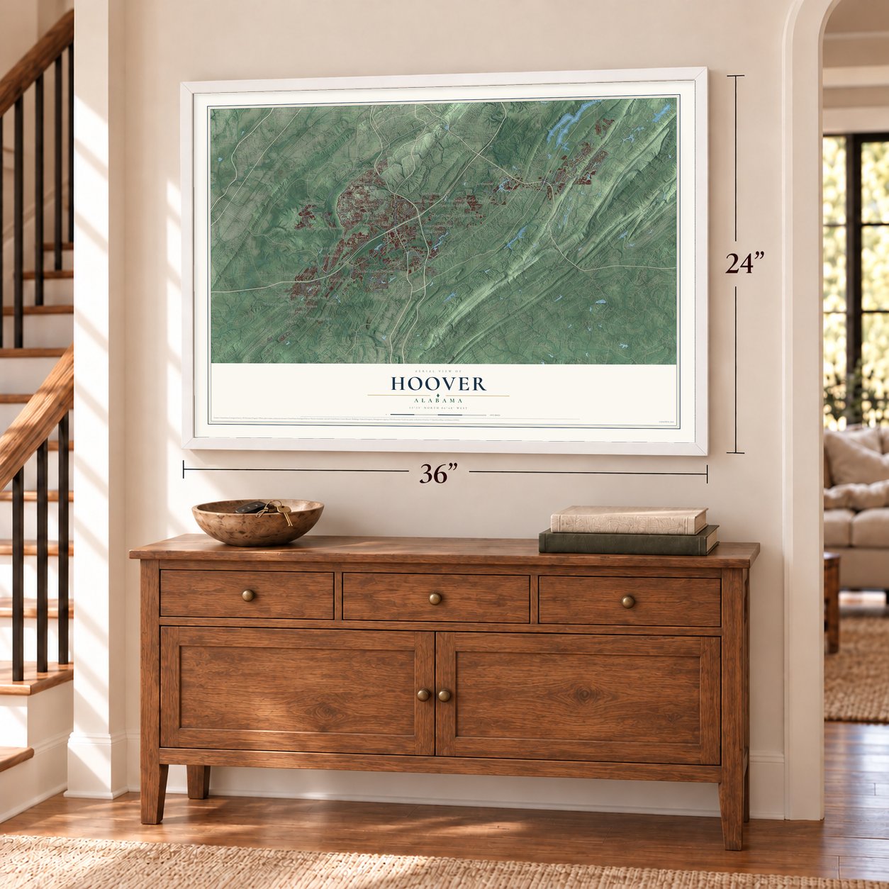
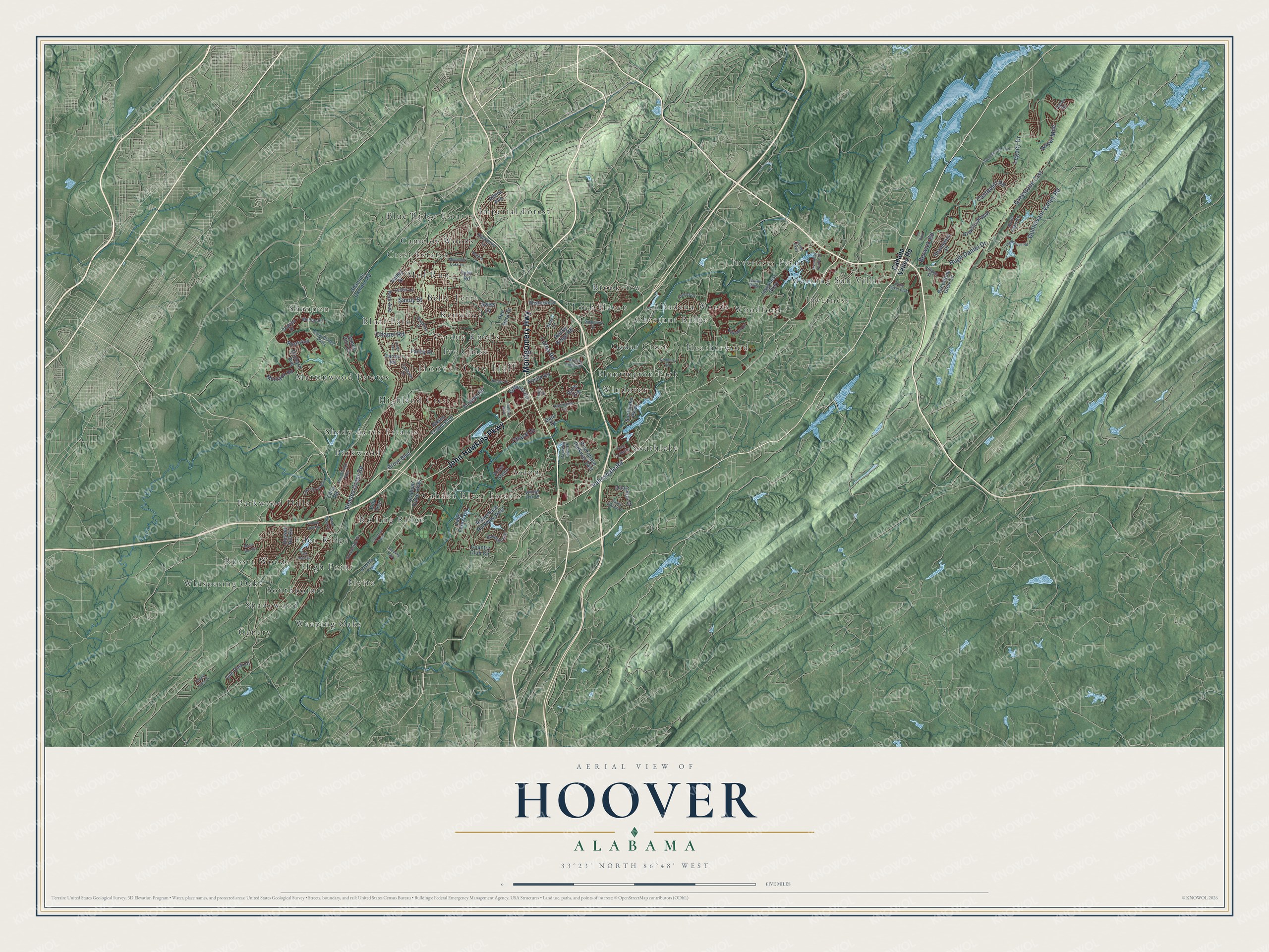
Hoover, Alabama Map Art
Building by building, with labeled streets and shaded relief.
12" x 18" Archival Matte Print
A Map of Home. A Work of Art.
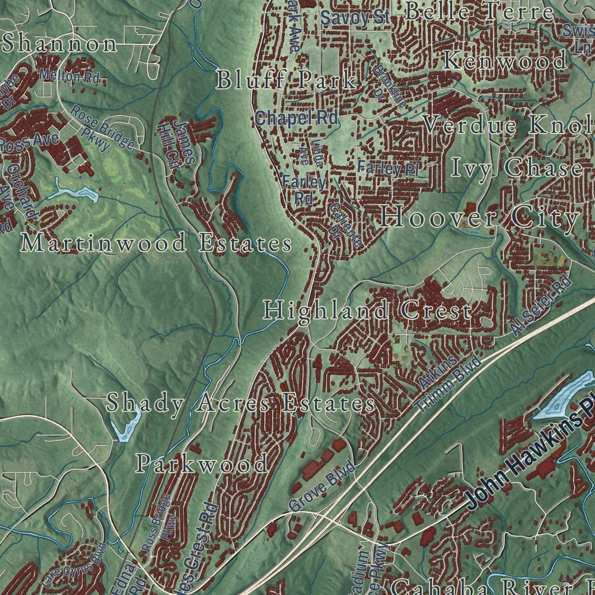
Explore Hoover, Alabama from a whole new perspective. Created using aerial imagery and detailed geographic data, this map captures Hoover building by building, with labeled streets, familiar landmarks, and shaded topographical relief that highlights the natural contours of the landscape.
Combining modern data with the timeless character of a vintage atlas, this map is just as interesting up close as it is beautiful on the wall. Whether you grew up in Hoover, spent memorable years there, or call it home today, this unique map is a great way to celebrate a place that means something to you. Zoom in on the preview to look for your street, and then order a print to put your memories on the wall.
Three ways to hang it
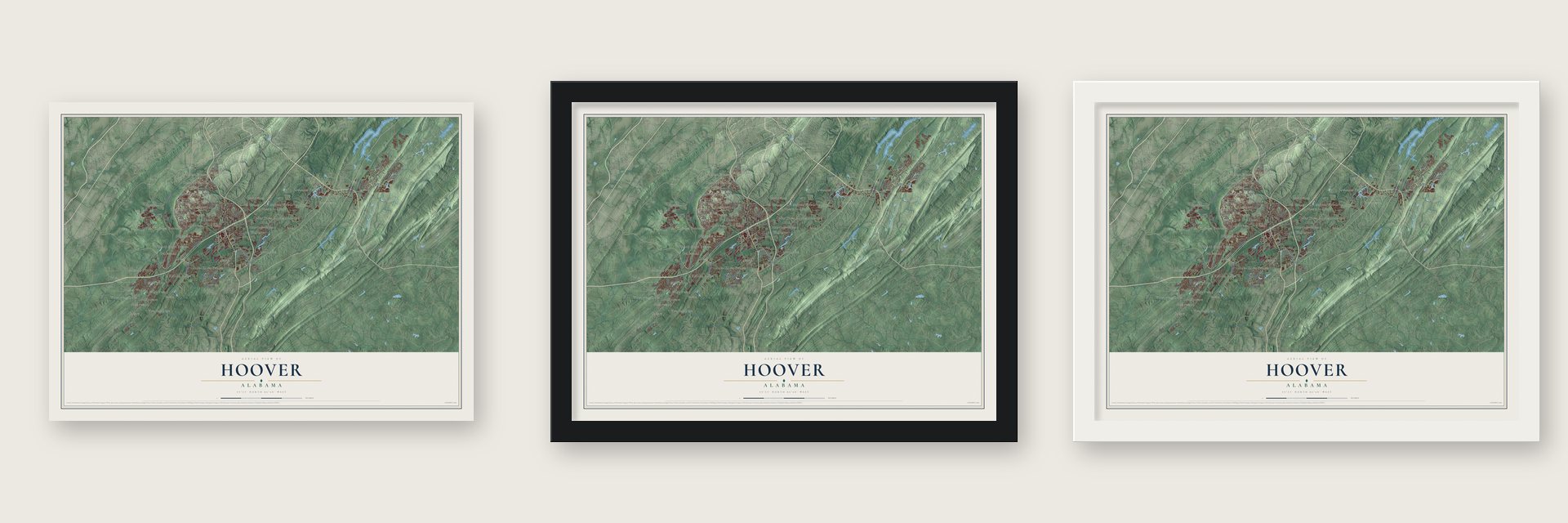
Unframed archival matte, a black wood frame or a white wood frame.
Up close
Geography Worth Displaying
This map was created using accurate cartographic data and authoritative geographic sources, including the U.S. Geological Survey and the Census Bureau. The map brings together terrain, waterways, roads, and building detail. The majority of the streets are labeled, houses are accurately depicted, and the topography is derived from government sources. Combining local data with carefully composed color and shading leads to this beautifully detailed Hoover artwork for your wall.
Rather than simply showing street outlines, we’ve included as many of the street names as we could reasonably fit on the map while keeping their names legible. Zoom in on the high resolution preview to see exactly what’s on the map. We truly set out to create a statement piece for anyone who loves Hoover. So whether it’s for you, or a gift for someone you love, we hope this map of Hoover brings back fond memories.
Read the story behind this map of Hoover, Alabama from 2026.

Find your street
Names on the Hoover map
Every name below is printed on this map. Look for your street, your school, the park where you played, or the pond down the road.
Places and landmarks42
- Hoover City Hall
- Acton
- Altadena Woods
- Belle Terre
- Blue Ridge Estates
- Bluff Park
- Brookview
- Cahaba River Estates
- Camelot Woods
- Cedar Crest
- Chestnut Ridge
- Crest Estates
Show all 42 places
- Eden Ridge
- Elvira
- Genery
- Heatherwood
- High Point
- Highland Crest
- Huntington Park
- Imperial Forest
- Inverness
- Inverness Point
- Ivy Chase
- Kenwood
- Loch Haven
- Martinwood Estates
- Mill Run
- Morning Sun Villas
- Parkwood
- Parkwood Hills
- Rolling Ridge
- Russet Woods
- Shady Acres Estates
- Shadywood
- Shannon
- Southlake
- Southpointe
- Verdue Knolls
- Weeping Oaks
- Whispering Oaks
- Windover
- Woodford
Streets and roads100
- Montgomery Highway
- John Hawkins Parkway
- Valleydale Road
- Shades Crest Road
- Hugh Daniel Drive
- Legacy Drive
- Lorna Road
- Chapel Road
- Greystone Crst
- Castlehill Road
- Dunnavant Valley Road
- Savoy Street
- Chace Drive
- Berwick Road
- Royal Mile
- Cahaba Valley Road
- Shannon Oxmoor Road
- Riverchase Parkway West
- Stadium Trace Parkway
- Greystone Way
- Riverchase Parkway East
- Southlake Parkway
- Inverness Parkway
- Alford Avenue
- Al Seier Road
- Lake Forest Circle
- Deo Dara Drive
- Rime Vlg
- Park Avenue
- Galleria Circle
Show all 100 streets
- Tyler Road
- Country Club Circle
- Rocky Ridge Road
- Shandwick Place
- Quail Run Drive
- Montauk Road
- Grove Boulevard
- Farley Road
- Russet Hill Circle
- Wisteria Drive
- Atkins Trimm Boulevard
- Valley Street
- James Hill Circle
- Ross Avenue
- Oak Park Lane
- Arnold Road
- Greystone Glen Circle
- Orchard Avenue
- Edna Road
- Farley Place
- Swiss Lane
- Data Drive
- Arbor Glenn
- Villa Trce
- Rose Bridge Parkway
- Baneberry Drive
- Parkway Lake Drive
- North Lake Road
- Hackberry Lane
- Caliente Drive
- Creekside Drive
- Lester Lane
- Melton Road
- Willow Oak Drive
- Kirkman Drive
- Kelly Lane
- Chalybe Drive
- Village Street
- Haven Road
- Ross Bridge Parkway
- Old Rocky Ridge Road
- Center Parkway
- Inverness Center Drive
- Lake Cyrus Boulevard
- Farmhouse Road
- Galleria Boulevard
- Saddlecreek Trail
- Chestnut Trce
- Oak Leaf Circle
- Regent Lane
- Willow Lake Drive
- Napier Drive
- Doug Baker Boulevard
- Valley Station Drive
- Grand Oaks Drive
- Riverhaven Drive
- Ridgecrest Drive
- Lodge Drive
- Brookline Drive
- Harwick Drive
- Nunnally Pass
- Turnberry Road
- Mountain Oaks Lane
- Linda Avenue
- Grand Ridge
- Moss Rose Lane
- Fleming Parkway
- Crest Lake Drive
- Moss Run Drive
- 119 Boulevard
Names are listed as they appear on the printed map. Zoom into the product photos to find them.
About Hoover, Alabama
Hoover is a city of 92,606 people in Jefferson and Shelby Counties, and it is the sixth largest city in Alabama. From the 1930s this area in the Appalachian foothills was known as the Green Valley community. In 1953 William H. Hoover, whose firm was Employers Mutual Insurance of Alabama, bought land beside Highway 31 near Bluff Park, where he already lived, just as the state began widening the road. He moved his company there from Birmingham in 1958 and sold land to his workers.
A 1959 home tour put on by the Birmingham Association of Homebuilders set off a wave of new houses, and a golf course and a fire department followed. The area had grown along with the boom after World War II, as more families owned cars and many moved away from Birmingham's industry. Some white families also left Birmingham after civil rights laws banned segregated public schools and housing discrimination. Hoover was incorporated on April 22, 1967, with slightly more than 400 people, and two years later a city hall went up on land its namesake gave.
- The Hoover Mall in 1972Shopping drove the young city's economy from the start. The Hoover Mall opened in 1972 with 21 stores, and retail went on to become what Hoover is best known for, most of all the Galleria.
- Riverchase annexed in 1980On September 8, 1980, Hoover annexed the Riverchase business and residential community, adding large office buildings and their employers and workers to the tax base. When Interstate 459 opened, a major interchange with Interstate 65 was built inside the city. The Riverchase Galleria, a shopping, hotel and office complex, opened in 1986 and brought the city more tax revenue, new residents and new businesses.
- The Barons at the MetThe Birmingham Barons, a minor league team whose history goes back to 1885, called Hoover Metropolitan Stadium home from 1988 through 2013, playing before as many as 10,800 fans. That year they moved to Regions Field in Birmingham's Parkside District. The stadium is also home to the Southeastern Conference Baseball Tournament.
- Aldridge Gardens and Moss RockAldridge Gardens was once a private estate of 30 acres and is now open to the public. Moss Rock Preserve covers more than 250 acres, where it protects woods, wild animals and the rock formations that give it its name.
Keep exploring Alabama
Hoover is one of 675 Alabama towns we've mapped. Every dot on the map is a print of its own.
The search covers every state, Alabama first.
Near Hoover
Order 2 or more town maps and save 10%. Shown in the size and finish you picked above, so they hang as a set.
- Rocky Ridge 12" x 18" / Archival Matte Print $39.99
- Indian Springs Village 12" x 18" / Archival Matte Print $39.99
- Pelham 12" x 18" / Archival Matte Print $39.99

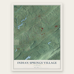

More maps nearby: Homewood, Meadowbrook, Vestavia Hills, Lipscomb and Helena.
The art of mapping a place
How This Map Was Made
Real places. Remarkable detail. Discover the layers that turn geographic data into a map of home.

The view from above
Aerial imagery reveals the character of the land: woodland, open fields, and the patterns of a place.

The shape of the land
Elevation data brings hills, valleys, and subtle changes in the landscape into view.

The details of home
Roads, waterways, and building footprints come together to make the map feel unmistakably local.

Geography becomes art
Considered color, shading, and typography bring the layers together in a map made for your wall.


Process illustrated with Mendon, Massachusetts. Aerial imagery: USDA NAIP. Terrain: USGS 3D Elevation Program. Map details and finished artwork: KNOWOL.
The Details
About This Print
Choose an archival matte print, or a black or white Ayous wood frame. The archival matte print is unframed.
Select your size and finish above to see the matching product image and price.
Materials & Craftsmanship
A contemporary map with the character of a classic atlas, printed on archival matte paper. Optional frames are made from Ayous wood.
Your printed map does not include the watermark shown in the full-map preview.
Shipping & Delivery
Free shipping within the United States. Every print is made to order in the USA.
Buying a gift? Add a note in your cart and we'll include it. We never put prices in the package.
Prints ship within 2 to 3 business days. Allow 7 to 10 days total from ordering for delivery. Timing may vary during holidays or periods of high order volume.
Read our shipping policy.
Returns and damaged prints
Each print is made to order. Change-of-mind refunds are not available after production.
If your print arrives damaged, misprinted or incorrect, contact support@knowol.com within 30 days of receiving it. Include your order number, photos and a description of the issue.
Read our full refund and replacement policy. For questions about your order, email support@knowol.com.