
Search for another town





Free U.S. delivery 7 to 10 days after you order
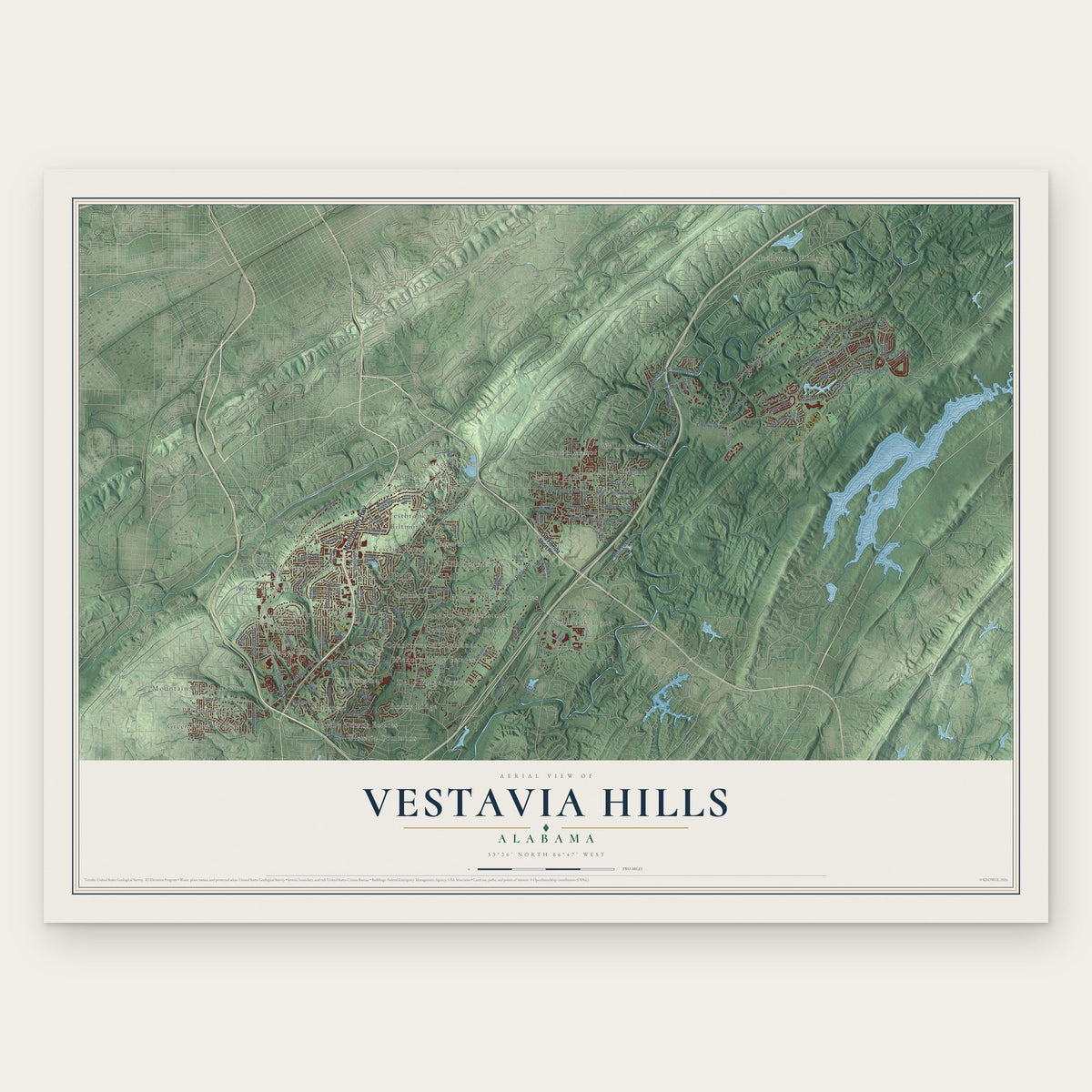
Vestavia Hills, Alabama Map Art
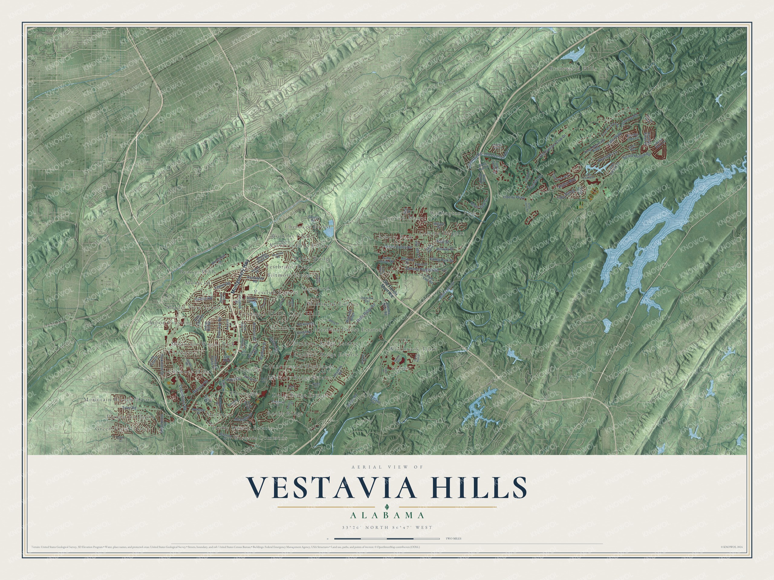
A new map of Vestavia Hills, Alabama, made in 2026 and printed to order on thick archival matte paper.
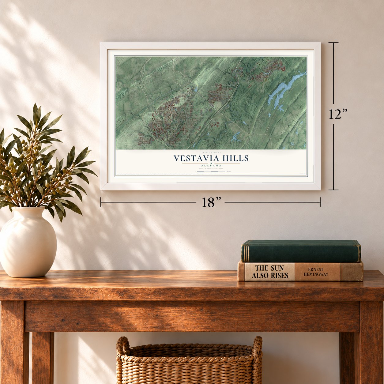
12" x 18" Archival Matte Print
A Map of Home. A Work of Art.
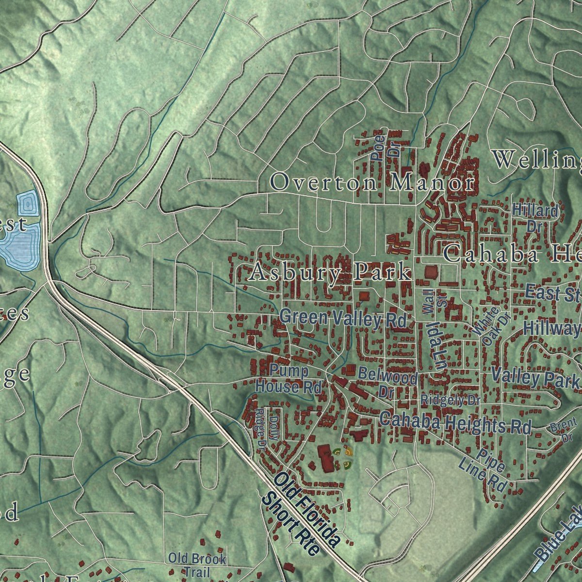
Explore Vestavia Hills, Alabama from a whole new perspective. Created using aerial imagery and detailed geographic data, this map captures Vestavia Hills building by building, with labeled streets, familiar landmarks, and shaded topographical relief that highlights the natural contours of the landscape.
Combining modern data with the timeless character of a vintage atlas, this map is just as interesting up close as it is beautiful on the wall. Whether you grew up in Vestavia Hills, spent memorable years there, or call it home today, this unique map is a great way to celebrate a place that means something to you. Zoom in on the preview to look for your street, and then order a print to put your memories on the wall.
Three ways to hang it
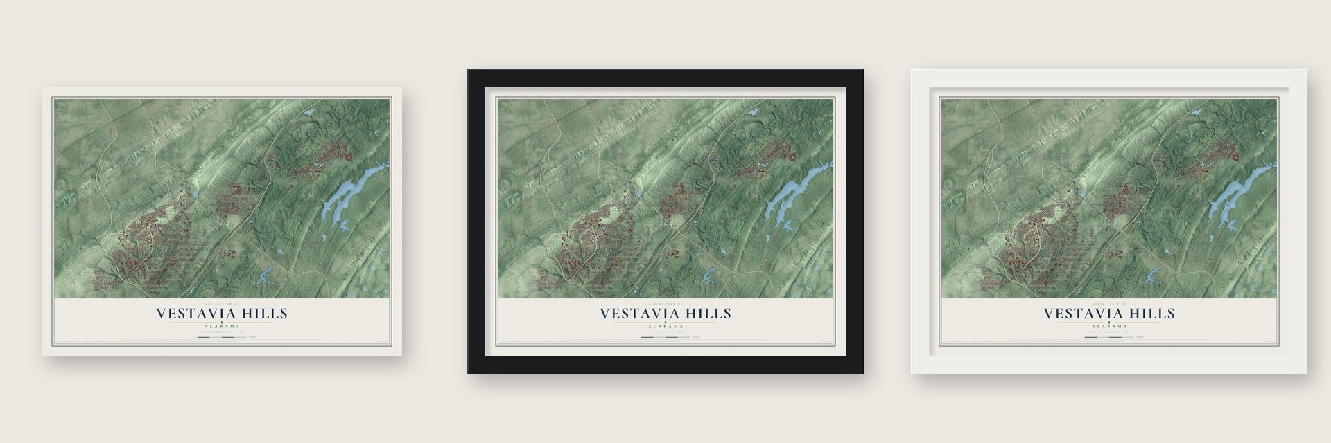
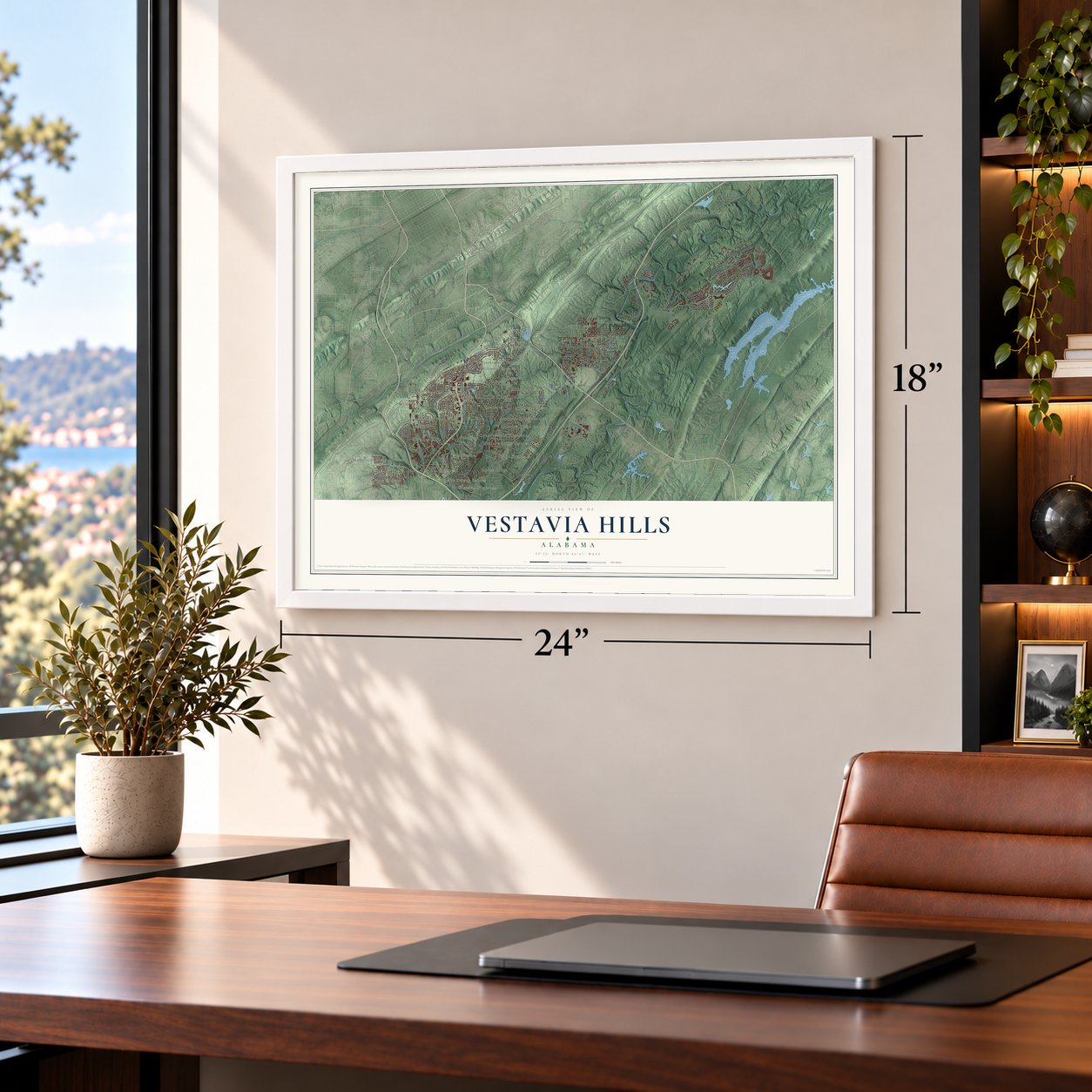
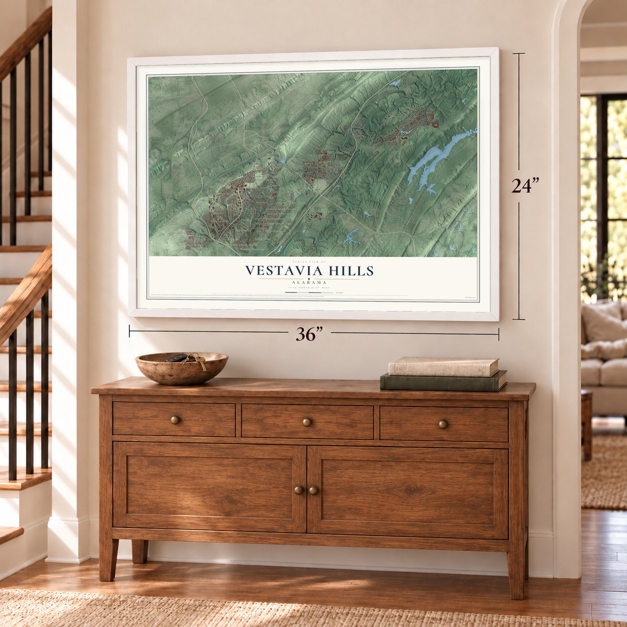
Unframed archival matte, a black wood frame or a white wood frame.
Up close
Geography Worth Displaying
This map was created using accurate cartographic data and authoritative geographic sources, including the U.S. Geological Survey and the Census Bureau. The map brings together terrain, waterways, roads, and building detail. The majority of the streets are labeled, houses are accurately depicted, and the topography is derived from government sources. Combining local data with carefully composed color and shading leads to this beautifully detailed Vestavia Hills artwork for your wall.
Rather than simply showing street outlines, we’ve included as many of the street names as we could reasonably fit on the map while keeping their names legible. Zoom in on the high resolution preview to see exactly what’s on the map. We truly set out to create a statement piece for anyone who loves Vestavia Hills. So whether it’s for you, or a gift for someone you love, we hope this map of Vestavia Hills brings back fond memories.
Read the story behind this map of Vestavia Hills, Alabama from 2026.
About Vestavia Hills, Alabama
Vestavia Hills is a city of 39,102 people in Jefferson County, with parts reaching into Shelby County, on top of Shades Mountain. Early in the twentieth century, wealthy Birmingham families wanted to get away from the smoke and noise of the industrial city below, so they began building country estates up here.
Ward died in 1940, and developer Charles Byrd bought his estate with a plan for a mountaintop community of 1,000 homes called Vestavia Hills. Byrd started building in 1946, during the housing boom after World War II. An elementary school and several churches soon followed, and the new Montgomery Highway linked the community to the state capital. Vestavia Hills became a city on November 8, 1950, and kept growing as new shops and neighborhoods pushed its borders outward into the late 1960s.
- A temple on the mountainGeorge Battey Ward, a former mayor of Birmingham, built his home here in 1924. He called it Vestavia, for the Roman goddess Vesta, because the house copied her temple in Rome. The round house had dark pink sandstone walls ringed by 20 white Doric columns, and peacocks and statues filled its gardens. In 1929 Ward added a gazebo based on the temple of Sibyl in Tivoli.
- From mansion to churchVestavia Hills Baptist Church was organized on May 6, 1957, and held its first services at City Hall. In 1958 it bought the Ward estate, which by then had a restaurant added in the 1940s, and the congregation worshiped in the old temple. As the house wore out and membership grew, the church tore down most of it and finished its present building in 1972. A central portion of Ward's house still stands as part of the church.
- Sibyl at the gatewayThe church gave Ward's Sibyl gazebo to the city. In 1976 the local garden club moved it to a rocky outcrop near the highway, where it became a landmark at the entrance to the community. The spot is now Sibyl Temple Park.
- Schools of its own in 1970Vestavia Hills started its own school system in 1970. Members of the Pizitz family, who founded Birmingham's Pizitz Department Store and lived in Vestavia Hills, gave the land for both the junior high and the high school. The high school's wrestlers have since won 15 state championships, the most of any team in Alabama history.
Find your street
Names on the Vestavia Hills map
Every name below is printed on this map. Look for your street, your school, the park where you played, or the pond down the road.
Places and landmarks40
- Vestavia Hills City Hall
- Acton
- Altadena Forest Estates
- Altadena Ridge Estates
- Arbor Crossing
- Asbury Park
- Beacon Hills
- Biltmore Estates
- Brentwood Hills
- Cahaba Heights
- Cherokee Forest
- Chimney Hills
Show all 40 places
- Country Ridge Estates
- Countrywood Highlands
- Coventry
- Crossgate
- Derby Downs Estates
- Dolly Ridge Estates
- Green View Estates
- Hickory Ridge Estates
- Millbrook Estates
- Montclair
- Montreat
- Mountain Branch Estates
- Mountain Woods Park
- Overton Manor
- Panorama
- Plantation Point
- Rocky Bridge
- Rocky Ridge
- Sagewood
- Shades View Estates
- Vesclub Estates
- Vestavia Hills Estates
- Vestbrook Trace
- Vestridge
- Watkins Glen
- Wellington Park
- Westbrook Trace
- Wisteria Commons
Streets and roads113
- Montgomery Highway
- Columbiana Road
- Blue Lake Drive
- Ternview Road
- Dolly Ridge Road
- Liberty Parkway
- Old Overton Club Drive
- Sicard Hollow Road
- Lake Parkway
- Cahaba Heights Road
- Tyler Road
- River View Drive
- Overton Road
- Valley Park Drive
- Green Valley Road
- Badham Drive
- Acton Road
- Old Overton Road
- Altaloma Drive
- Post Oak Road
- East Street
- Massey Road
- Reynolds Lane
- Founders Drive
- Lake Run Drive
- Yorkmont Drive
- Laurel Road
- Hillway Drive
- Alston Way
- Catala Road
Show all 113 streets
- Hays Circle
- Ida Lane
- Old Florida Short Route
- Vestavia Forest Place
- Vestlake Ridge Drive
- Shades Crest Road
- Cahaba River Road
- Altadena Road
- Pipe Line Road
- Southwood Road
- Woodridge Place
- Boulder Lake Circle
- Lake Colony Lane
- Garland Drive
- Kings Mountain Ridge
- Wisteria Drive
- Pine Crest Drive
- Indian Hill Road
- Smyer Road
- Wickford Road
- Coventry Drive
- Taralane Drive
- Linda Vista Drive
- Willoughby Road
- Montreat Drive
- Liberty Park Lane
- Magnolia Ridge
- Norwich Drive
- Staffordshire Lane
- Chestnut Street
- River Run Drive
- Pump House Road
- Pizitz Drive
- Viking Circle
- Lakeland Trail
- Belwood Drive
- Hillard Drive
- Urban Center Drive
- Poe Drive
- River Run Lane
- Lee Alley
- White Oak Drive
- Jacobs Road
- Chestnut Road
- Ridgely Drive
- Ashland Lane
- Hickory Road
- Vestavia Lake Drive
- Kenvil Circle
- Kings Mountain Road
- Caledonian Way
- Valley Circle
- Squire Lane
- South Cove Drive
- Mayland Lane
- Park Hill Drive
- Lake Colony Drive
- Rosemary Lane
- Comer Drive
- Old Brook Trail
- Canyon Creek Lane
- Forest View Lane
- Galen Way
- Wall Street
- Vestavia Parkway
- Dolly Ridge Drive
- Vesclub Circle
- Indian Creek Drive
- Roundhill Road
- South Liberty Road
- Mountain View Lane
- Third Avenue
- Altaridge Drive
- Vestlake Cove Drive
- Vesclub Lane
- Panorama Lane
- Healthy Way
- First Avenue
- Colony Park Drive
- Brent Drive
- Jones Drive
- Fargo Drive
- Acton Drive
Names are listed as they appear on the printed map. Zoom into the product photos to find them.
The art of mapping a place
How This Map Was Made
Real places. Remarkable detail. Discover the layers that turn geographic data into a map of home.

The view from above
Aerial imagery reveals the character of the land: woodland, open fields, and the patterns of a place.

The shape of the land
Elevation data brings hills, valleys, and subtle changes in the landscape into view.

The details of home
Roads, waterways, and building footprints come together to make the map feel unmistakably local.

Geography becomes art
Considered color, shading, and typography bring the layers together in a map made for your wall.


Process illustrated with Mendon, Massachusetts. Aerial imagery: USDA NAIP. Terrain: USGS 3D Elevation Program. Map details and finished artwork: KNOWOL.
The Details
About This Print
Choose an archival matte print, or a black or white Ayous wood frame. The archival matte print is unframed.
Select your size and finish above to see the matching product image and price.
Materials & Craftsmanship
A contemporary map with the character of a classic atlas, printed on archival matte paper. Optional frames are made from Ayous wood.
Your printed map does not include the watermark shown in the full-map preview.
Shipping & Delivery
Free shipping within the United States. Every print is made to order in the USA.
Buying a gift? Add a note in your cart and we'll include it. We never put prices in the package.
Prints ship within 2 to 3 business days. Allow 7 to 10 days total from ordering for delivery. Timing may vary during holidays or periods of high order volume.
Read our shipping policy.
Returns and damaged prints
Each print is made to order. Change-of-mind refunds are not available after production.
If your print arrives damaged, misprinted or incorrect, contact support@knowol.com within 30 days of receiving it. Include your order number, photos and a description of the issue.
Read our full refund and replacement policy. For questions about your order, email support@knowol.com.
Find your town
Looking for another city?
Find a map of home in our Alabama collection, or any town in the country.
Nearby
Maps of towns near Vestavia Hills
Know someone from one of these towns? Their map makes a great gift.
 Mountain Brook
, Alabama
From $39.99See the map
 Brook Highland
, Alabama
From $39.99See the map
 Homewood
, Alabama
From $39.99See the map
More maps nearby: Meadowbrook, Birmingham, Eagle Point, Highland Lakes and Indian Springs Village.