
Search for another town


Free U.S. delivery 7 to 10 days after you order
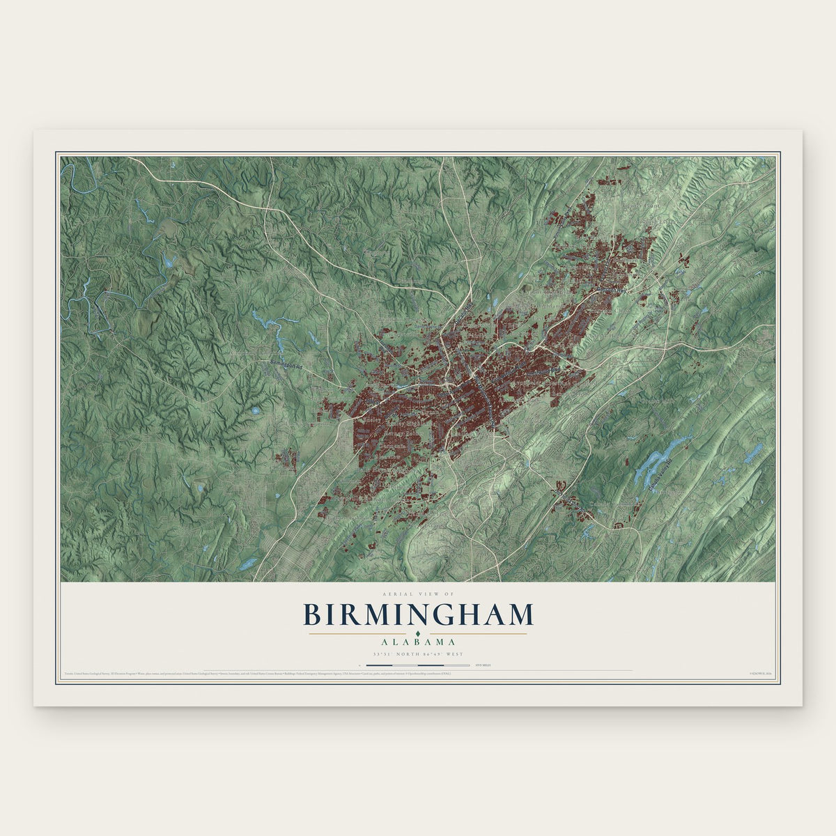
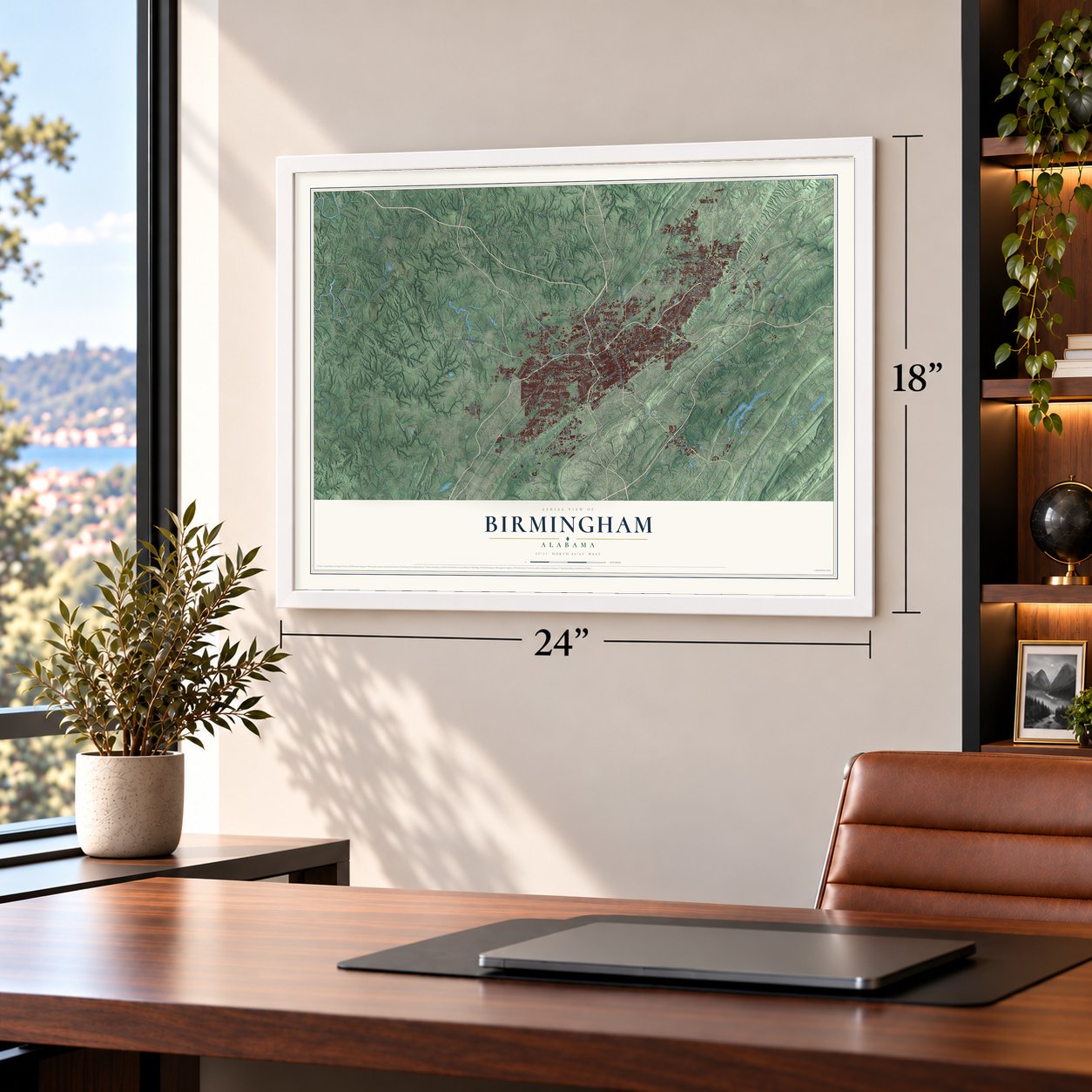
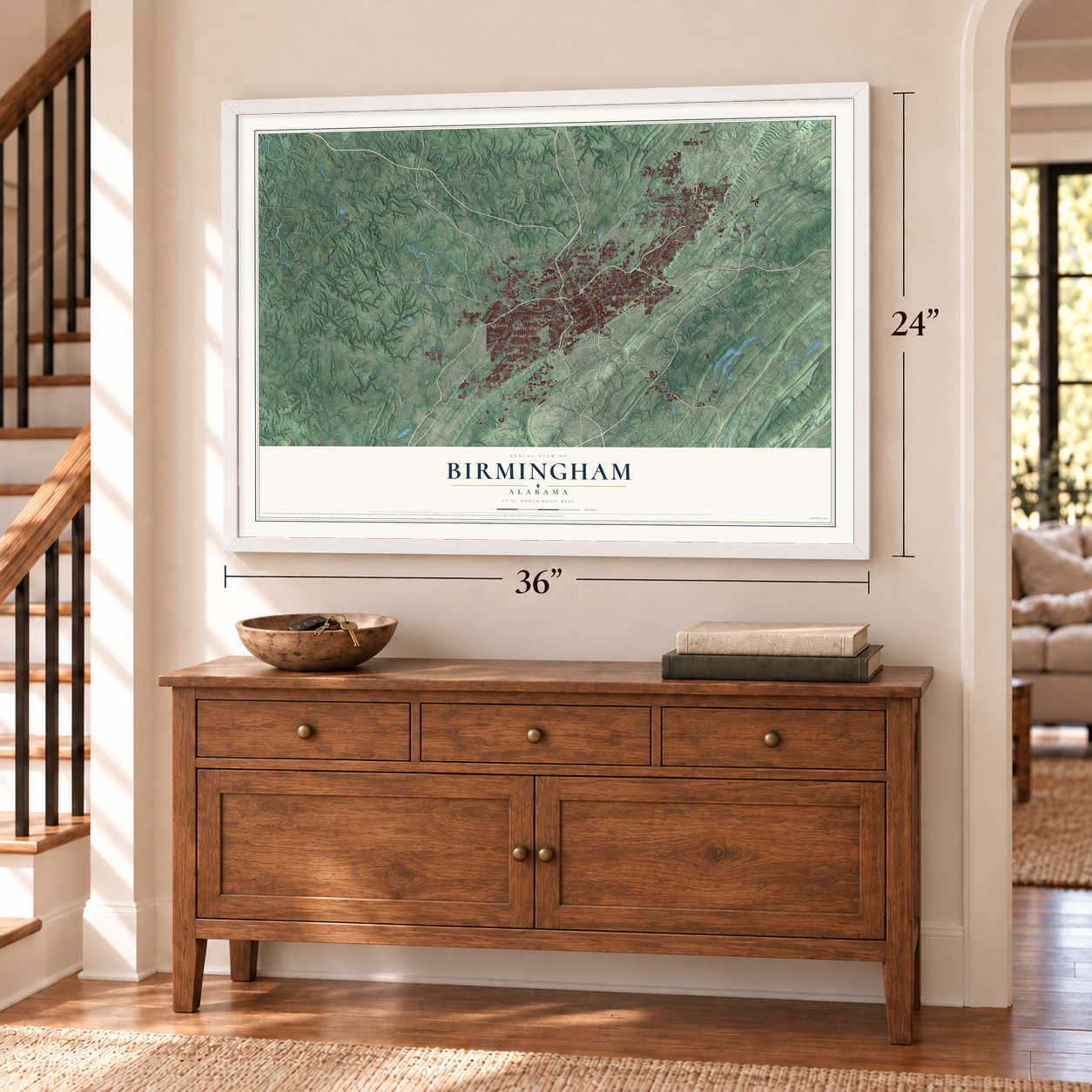
Birmingham, Alabama Map Art
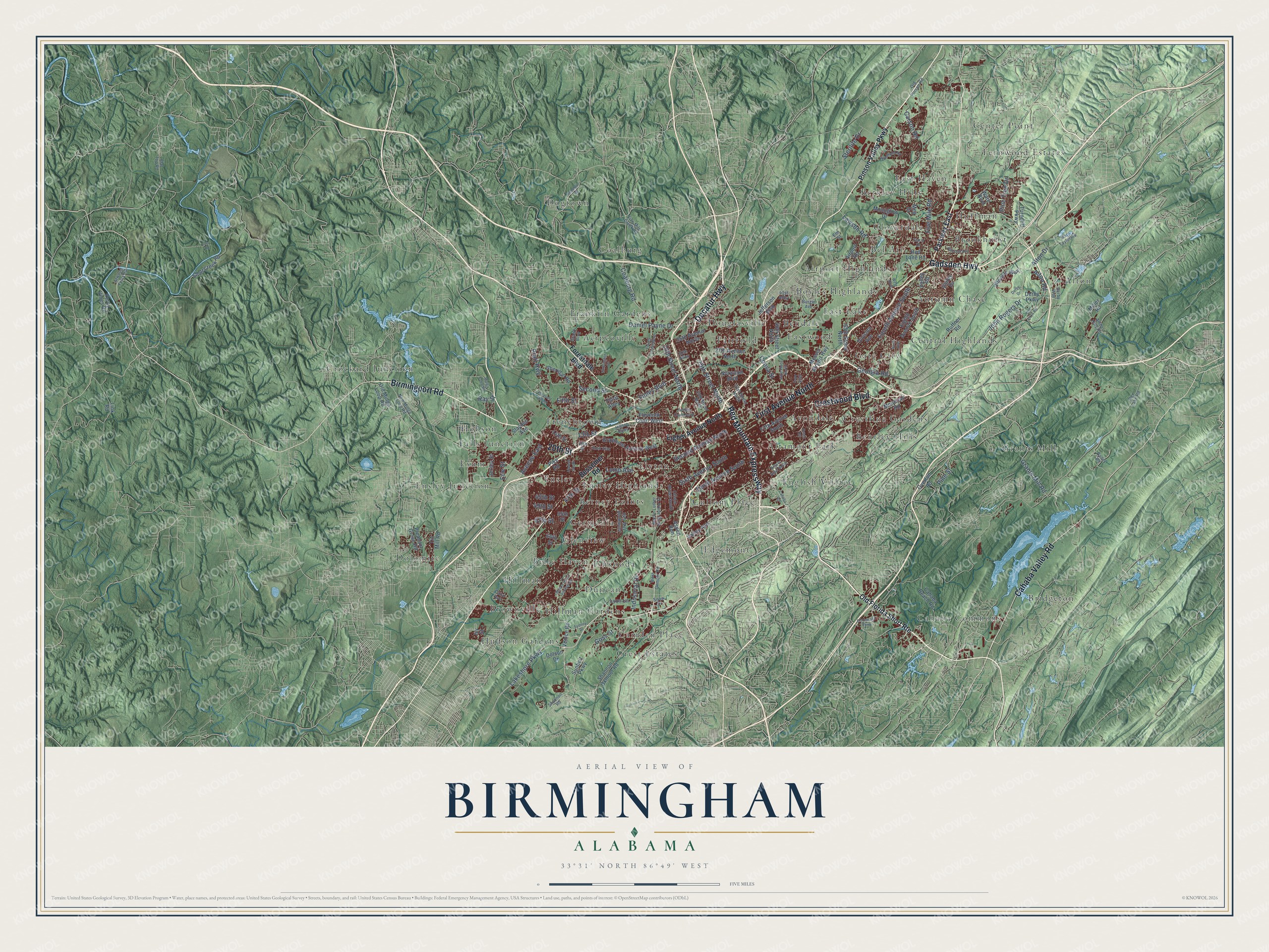
A new map of Birmingham, Alabama, made in 2026 and printed to order on thick archival matte paper.
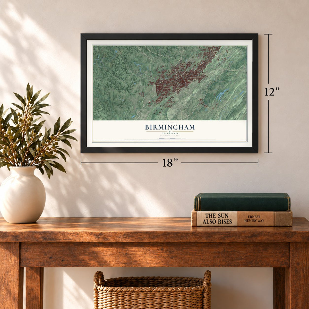
12" x 18" Archival Matte Print
A Map of Home. A Work of Art.
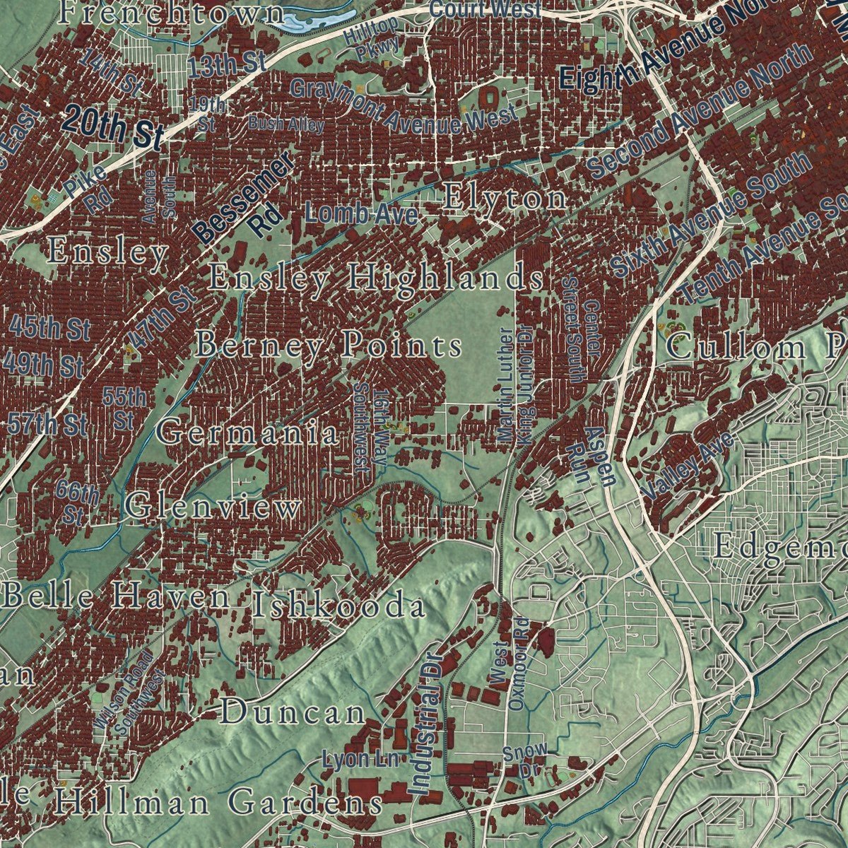
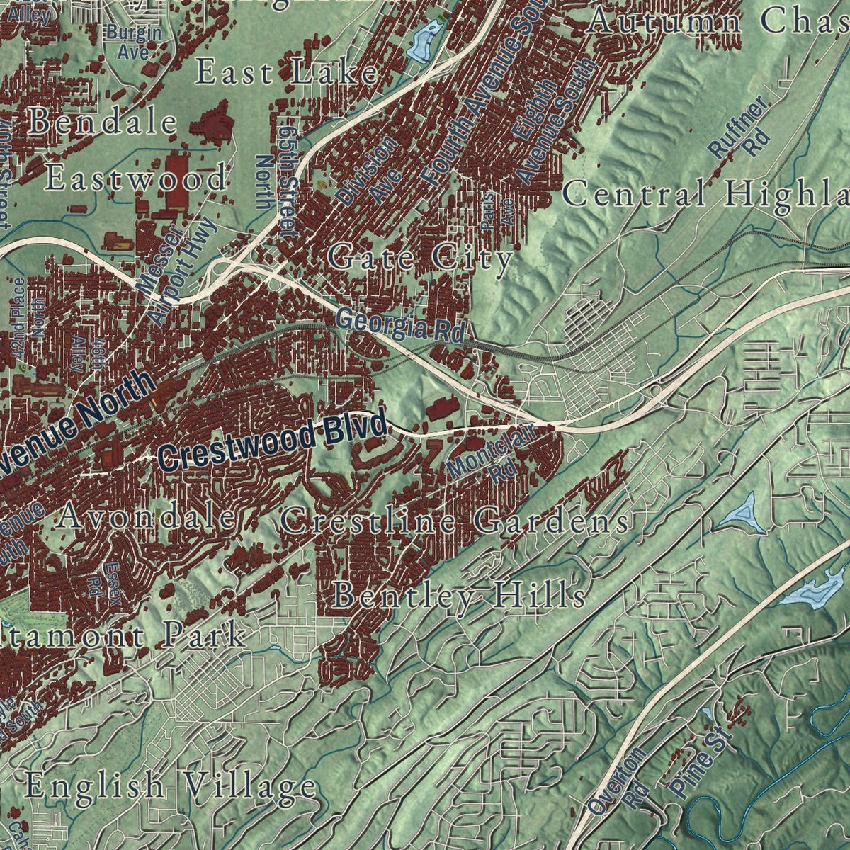
Explore Birmingham, Alabama from a whole new perspective. Created using aerial imagery and detailed geographic data, this map captures Birmingham building by building, with labeled streets, familiar landmarks, and shaded topographical relief that highlights the natural contours of the landscape.
Combining modern data with the timeless character of a vintage atlas, this map is just as interesting up close as it is beautiful on the wall. Whether you grew up in Birmingham, spent memorable years there, or call it home today, this unique map is a great way to celebrate a place that means something to you. Zoom in on the preview to look for your street, and then order a print to put your memories on the wall.
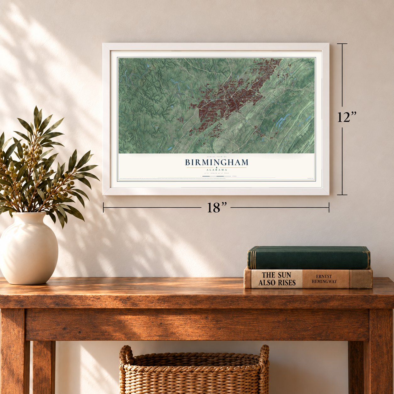
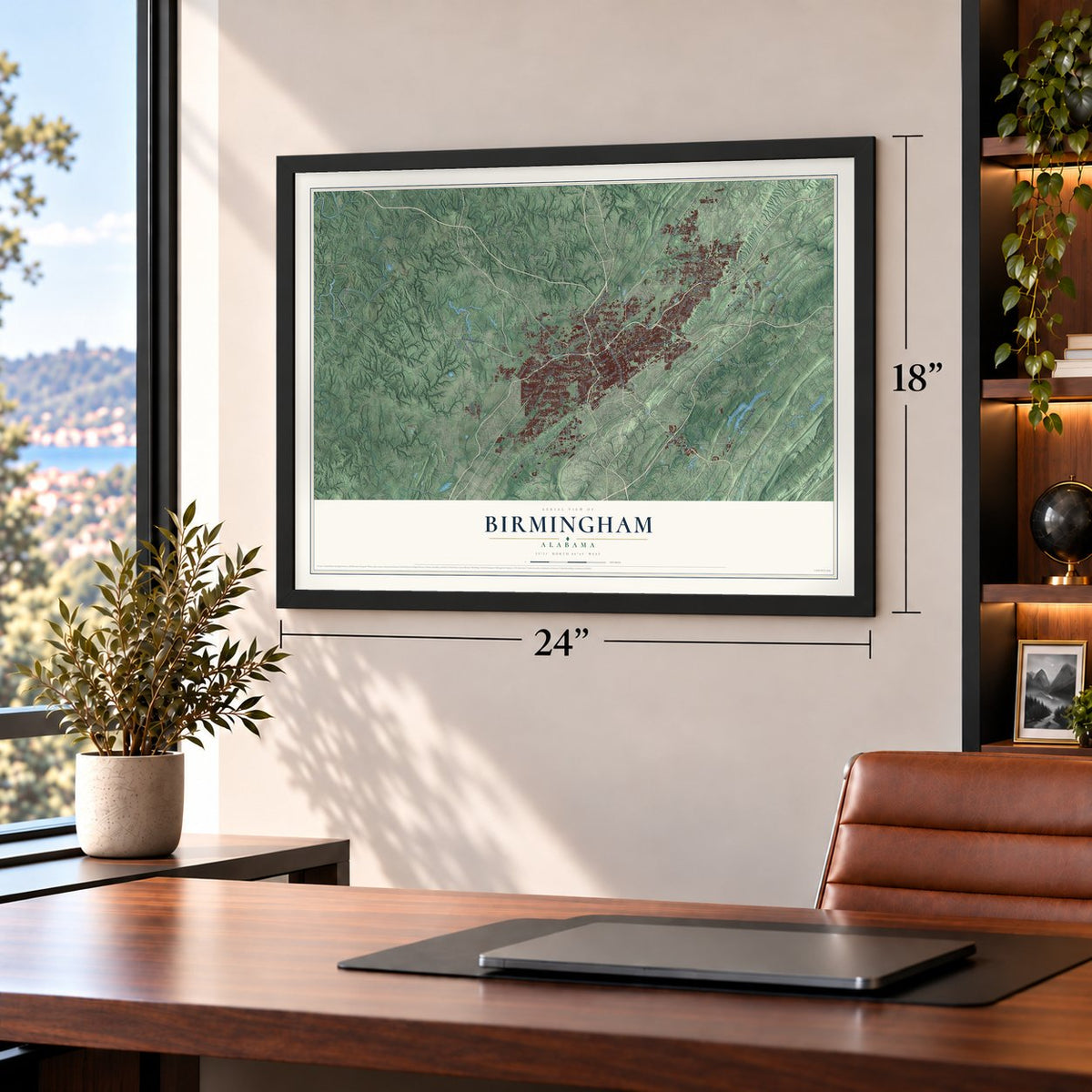
Three ways to hang it
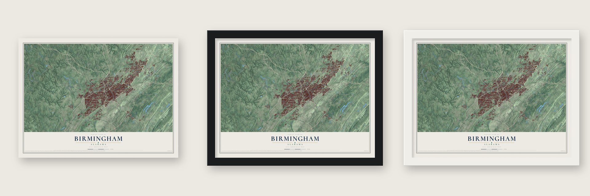
Unframed archival matte, a black wood frame or a white wood frame.
Up close
Geography Worth Displaying
This map was created using accurate cartographic data and authoritative geographic sources, including the U.S. Geological Survey and the Census Bureau. The map brings together terrain, waterways, roads, and building detail. The majority of the streets are labeled, houses are accurately depicted, and the topography is derived from government sources. Combining local data with carefully composed color and shading leads to this beautifully detailed Birmingham artwork for your wall.
Rather than simply showing street outlines, we’ve included as many of the street names as we could reasonably fit on the map while keeping their names legible. Zoom in on the high resolution preview to see exactly what’s on the map. We truly set out to create a statement piece for anyone who loves Birmingham. So whether it’s for you, or a gift for someone you love, we hope this map of Birmingham brings back fond memories.
Read the story behind this map of Birmingham, Alabama from 2026.

About Birmingham, Alabama
Birmingham is a city of 200,733 people and the seat of Jefferson County, in Jones Valley near the southern end of the Appalachians. Veterans of Andrew Jackson's army reached the valley in 1815, but poor roads and thin soil kept it small until railroads came after the Civil War. On December 18, 1870, railroad promoters met banker Josiah Morris in Montgomery and formed the Elyton Land Company to build a new city. Its president, James R. Powell, had just returned from England's iron and steel center and proposed borrowing its name. Lots went on sale June 1, 1871, and the legislature chartered the city on December 19, 1871.
Powell won the mayor's race in 1873 and pushed for a vote on moving the county seat from Elyton. He courted newly enfranchised Black residents, and they backed Birmingham by a wide margin. That July cholera swept the young city, which lacked clean water and sewers, and thousands left. Then the Panic of 1873 ended the land boom. The minerals saved Birmingham. Henry F. DeBardeleben, James W. Sloss and Truman H. Aldrich opened the Pratt mines in 1878, and the city grew so quickly that people called it the "Magic City."
- The Heaviest Corner on EarthBetween 1902 and 1912 builders put up four large office buildings where 20th Street, the city's main north and south street, meets 1st Avenue North, which ran beside the warehouses and plants along the railroad. People called the cluster of early skyscrapers the Heaviest Corner on Earth, and it is now on the National Register.
- A library rebuilt by the nationBirmingham organized its first library in 1886, opened it to paying subscribers in 1891, and made it free in 1908. It moved from place to place until fire destroyed it in the old City Hall in 1925. Libraries across the country sent books, residents gave money, and a new building opened on April 11, 1927. It was peacefully desegregated in 1963, and in 1985 the building opened again under a new name, the Linn-Henley Research Library.
- Mayor Ward's VestaviaGeorge Ward came to Birmingham in 1871, when his family ran the Relay House, the city's first hotel. Elected alderman in 1899 and mayor in 1904, he gave the city new parks, playgrounds, libraries and community centers, and he brought better services to its African American residents. On Shades Mountain he built his home, Vestavia, patterned after the Temple of the Vestal Virgins in Rome, with gardens all around it.
- The spring of 1963Police turned dogs and fire hoses on daily marches and arrested over 3,000 people, nearly all high school age. King wrote Letter from Birmingham Jail on April 16. On September 15 a bomb at the Sixteenth Street Baptist Church killed four Black girls. The campaign desegregated public places and helped bring the Civil Rights Act of 1964.
- First Black mayor in 1979After urban renewal in the 1970s built up the University of Alabama at Birmingham as a medical and research center, voters in 1979 elected Dr. Richard Arrington Jr. as the city's first African American mayor.
Find your street
Names on the Birmingham map
Every name below is printed on this map. Look for your street, your school, the park where you played, or the pond down the road.
Places and landmarks55
- Acipcoville
- Airport Highlands
- Altamont Park
- Alton
- Autumn Chase
- Avondale
- Bel Air
- Belle Haven
- Bendale
- Bentley Hills
- Berkley Hills
- Berney Points
Show all 55 places
- Boyles Highlands
- Bridgeton
- Brookhurst
- Brownville
- Cahaba Commons
- Camden Place
- Center Point
- Central Highlands
- Cloverdale
- Coalburg
- Crest Estates
- Crestline Gardens
- Crockard Junction
- Cullom Place
- Dogtown
- Dolomite
- Douglasville
- Duncan
- East Haven
- East Lake
- Eastwood
- Edgemont
- Elyton
- English Village
- Ensley
- Ensley Highlands
- Ensley Junction
- Exum
- Fairfield
- Falls Junction
- Fernwood Estates
- Franklin Gardens
- Frenchtown
- Gate City
- Germania
- Glenview
- Grants Mill
- Hillman
- Hillman Gardens
- Hobson
- Hudson Gardens
- Huffman
- Ishkooda
Streets and roads149
- Red Mountain Expressway
- Decatur Highway
- Birmingport Road
- First Avenue North
- Crestwood Boulevard
- Gadsden Highway
- Cahaba Valley Road
- 20th Street
- Lakeshore Parkway
- Sixth Avenue South
- Fourth Avenue South
- Second Avenue North
- Tenth Avenue South
- Coalburg Road
- Finley Boulevard
- John Rogers Drive
- 16th Street North
- Grants Mill Road
- 25th Street North
- Avenue East
- Daniel Payne Drive
- Alton Road
- Georgia Road
- Carson Road
- Lawson Road
- Lomb Avenue
- Industrial Drive
- Pine Street
- Pratt Highway
- Five Mile Road
Show all 149 streets
- Second Street
- 47th Street
- 13th Street
- 49th Street
- Sterilite Drive
- Pine Tree Drive
- Alton Drive
- Erie Street
- 45th Street
- 57th Street
- Coosa Street
- Goss Street
- Fifth Street
- Ray Street
- Pinson Valley Parkway
- Parkway East
- Bessemer Road
- Forestdale Boulevard
- Eighth Avenue North
- Old Florida Short Route
- Fifth Avenue South
- Montclair Road
- Venice Road
- Valley Avenue
- Messer Airport Highway
- Eighth Avenue South
- 35th Avenue North
- Division Avenue
- Pike Road
- Tin Mill Road
- Norwood Boulevard
- Shannon Oxmoor Road
- 27th Avenue North
- Graymont Avenue West
- 40th Street North
- Old Mulga Loop Road
- Slayden Avenue
- Ruffner Road
- Short Creek Road
- Cahaba Beach Road
- Airport Road
- Valley Drive
- Aspen Run
- Sheridan Road
- Third Alley
- Derby Parkway
- Eleventh Court West
- Pleasant Grove Road
- 65th Street North
- Overton Road
- Winners Way
- Valley Road
- Red Lane Road
- Sunbelt Parkway
- 55th Street
- Moonglow Drive
- 14th Street
- Jefferson Boulevard
- Turncliff Parkway
- Jersey Street
- Percy Vines Road
- Ware Boulevard
- Lyon Lane
- Dotson Drive
- Miller Road
- Link Road
- Meg Drive
- 66th Street
- Ivy Street
- West Oxmoor Road
- Martin Luther King Junior Drive
- 19th Street North
- 31st Street North
- Mary Taylor Road
- 19th Street
- New Mulga Loop Road
- Amber Hills Road
- Center Street South
- 16th Way Southwest
- Bailey Road
- Shannon Road
- Hilltop Parkway
- Burgin Avenue
- 30th Alley
- Elm Street
- Five Mile Creek Road
- Cairo Avenue
- Grand Boulevard
- Rex Lake Road
- 41st Alley
- Old Pinson Road
- Atwood Ferry Road
- Flat Top Road
- Carol Drive
- Derby Way
- Snow Drive
- Cahaba Road
- Sydney Drive
- Wilson Road Southwest
- Argyle Road South
- Colonnade Parkway
- Avenue South
- Fourth Street West
- Mulga Loop Road
- Bush Alley
- Derby Drive
- Pleasant Hill Road
- West Boulevard
- 42nd Place North
- Winewood Road
- Hillcrest Avenue
- Twelfth Court North
- Old Alton Road
- Republic Road
- Huntington Drive
- 46th Alley
- Paris Avenue
- Lacy Road
- Essex Road
Names are listed as they appear on the printed map. Zoom into the product photos to find them.
The art of mapping a place
How This Map Was Made
Real places. Remarkable detail. Discover the layers that turn geographic data into a map of home.

The view from above
Aerial imagery reveals the character of the land: woodland, open fields, and the patterns of a place.

The shape of the land
Elevation data brings hills, valleys, and subtle changes in the landscape into view.

The details of home
Roads, waterways, and building footprints come together to make the map feel unmistakably local.

Geography becomes art
Considered color, shading, and typography bring the layers together in a map made for your wall.


Process illustrated with Mendon, Massachusetts. Aerial imagery: USDA NAIP. Terrain: USGS 3D Elevation Program. Map details and finished artwork: KNOWOL.
The Details
About This Print
Choose an archival matte print, or a black or white Ayous wood frame. The archival matte print is unframed.
Select your size and finish above to see the matching product image and price.
Materials & Craftsmanship
A contemporary map with the character of a classic atlas, printed on archival matte paper. Optional frames are made from Ayous wood.
Your printed map does not include the watermark shown in the full-map preview.
Shipping & Delivery
Free shipping within the United States. Every print is made to order in the USA.
Buying a gift? Add a note in your cart and we'll include it. We never put prices in the package.
Prints ship within 2 to 3 business days. Allow 7 to 10 days total from ordering for delivery. Timing may vary during holidays or periods of high order volume.
Read our shipping policy.
Returns and damaged prints
Each print is made to order. Change-of-mind refunds are not available after production.
If your print arrives damaged, misprinted or incorrect, contact support@knowol.com within 30 days of receiving it. Include your order number, photos and a description of the issue.
Read our full refund and replacement policy. For questions about your order, email support@knowol.com.
Find your town
Looking for another city?
Find a map of home in our Alabama collection, or any town in the country.
Nearby
Maps of towns near Birmingham
Know someone from one of these towns? Their map makes a great gift.
 Mountain Brook
, Alabama
From $39.99See the map
 Homewood
, Alabama
From $39.99See the map
 Tarrant
, Alabama
From $39.99See the map
More maps nearby: Vestavia Hills, Fultondale, Forestdale, Fairfield and Irondale.