
Search for another town

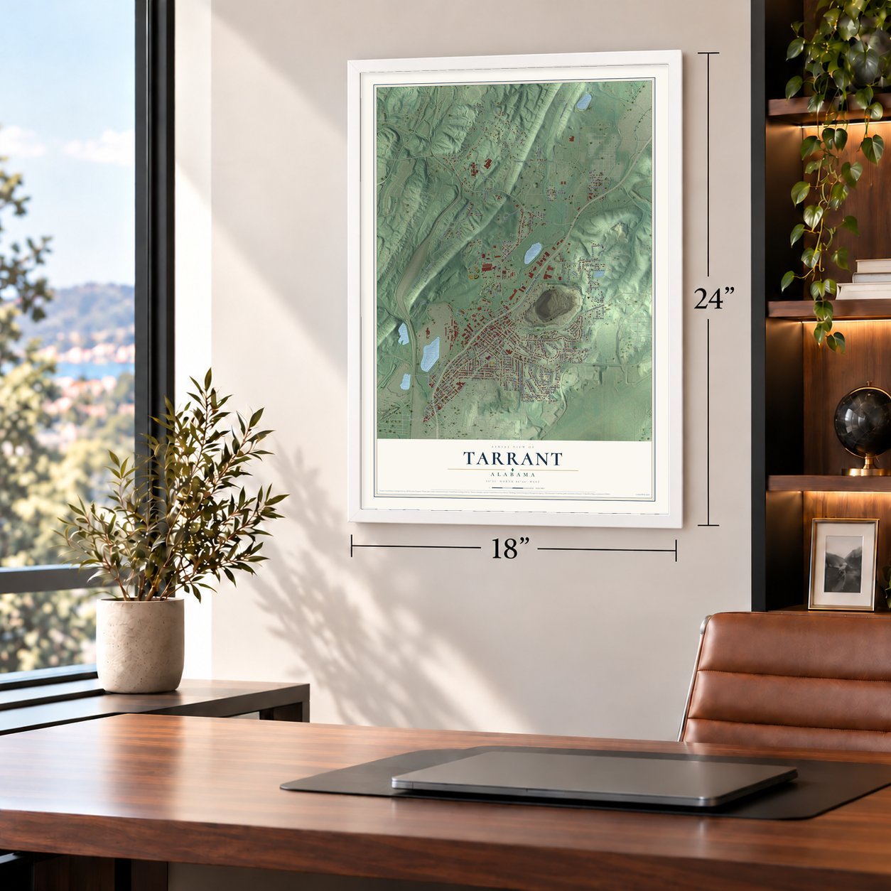
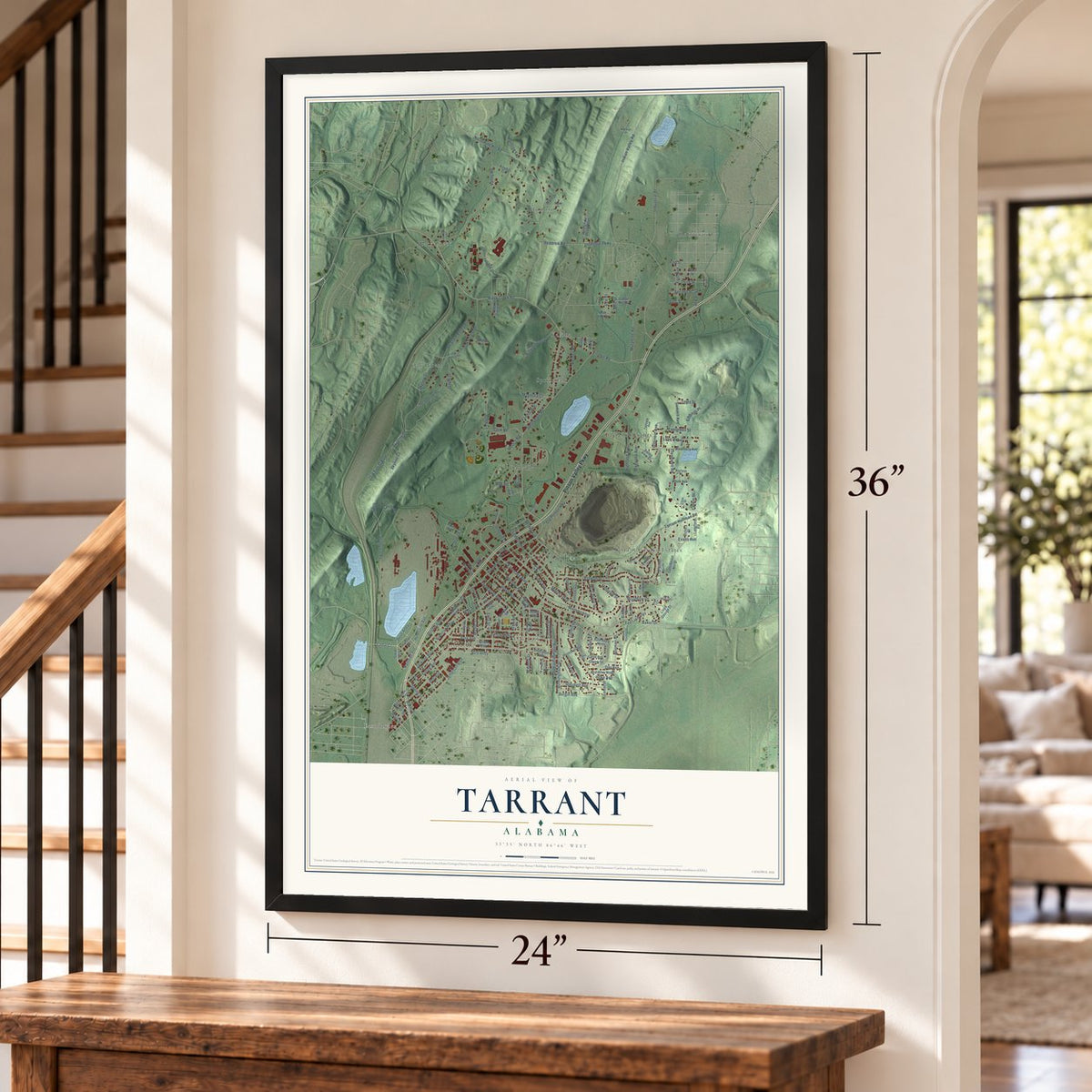
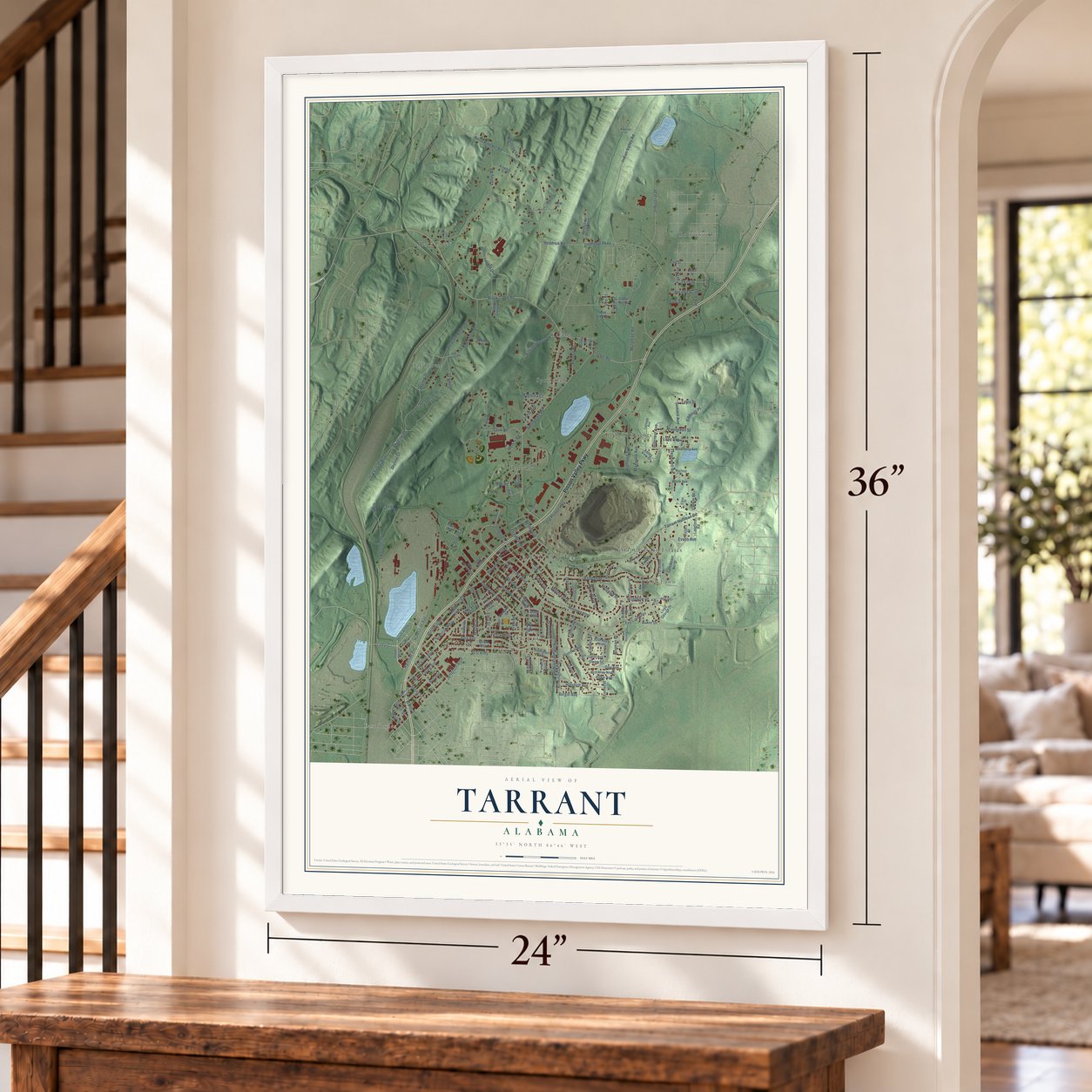

Free U.S. delivery 7 to 10 days after you order
Tarrant, Alabama Map Art
A new map of Tarrant, Alabama, made in 2026 and printed to order on thick archival matte paper.
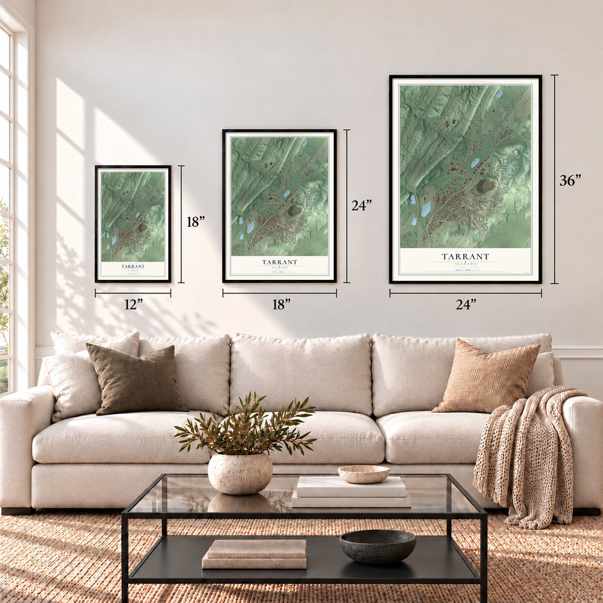
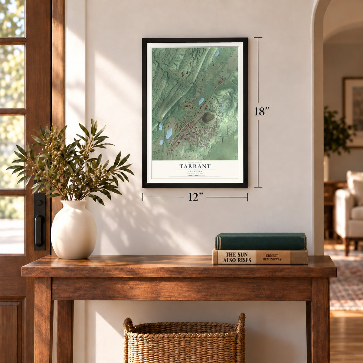
12" x 18" Archival Matte Print
A Map of Home. A Work of Art.
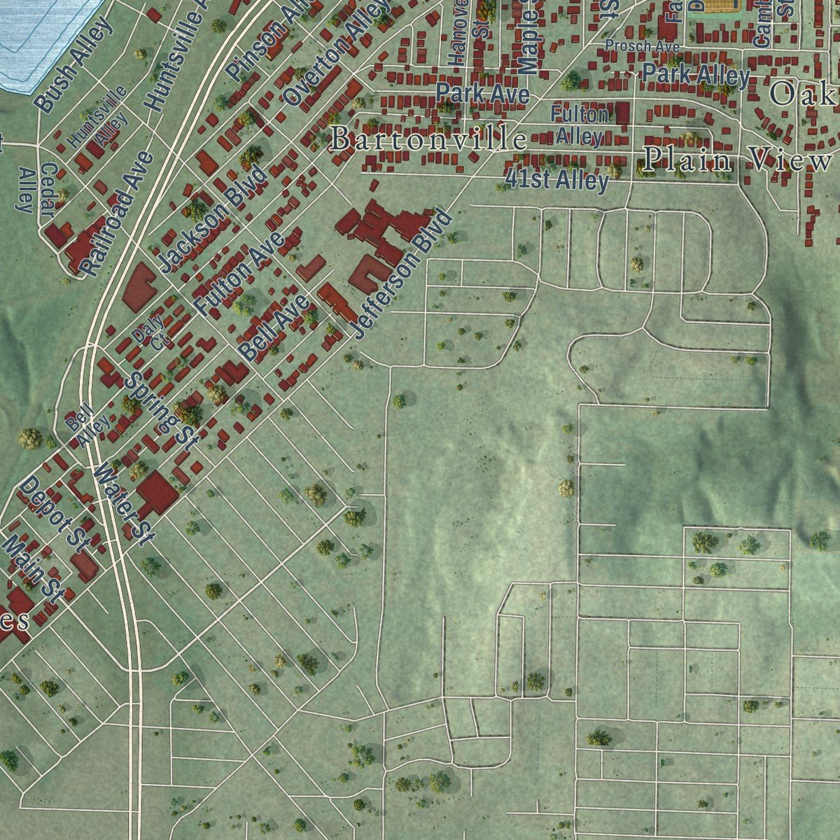
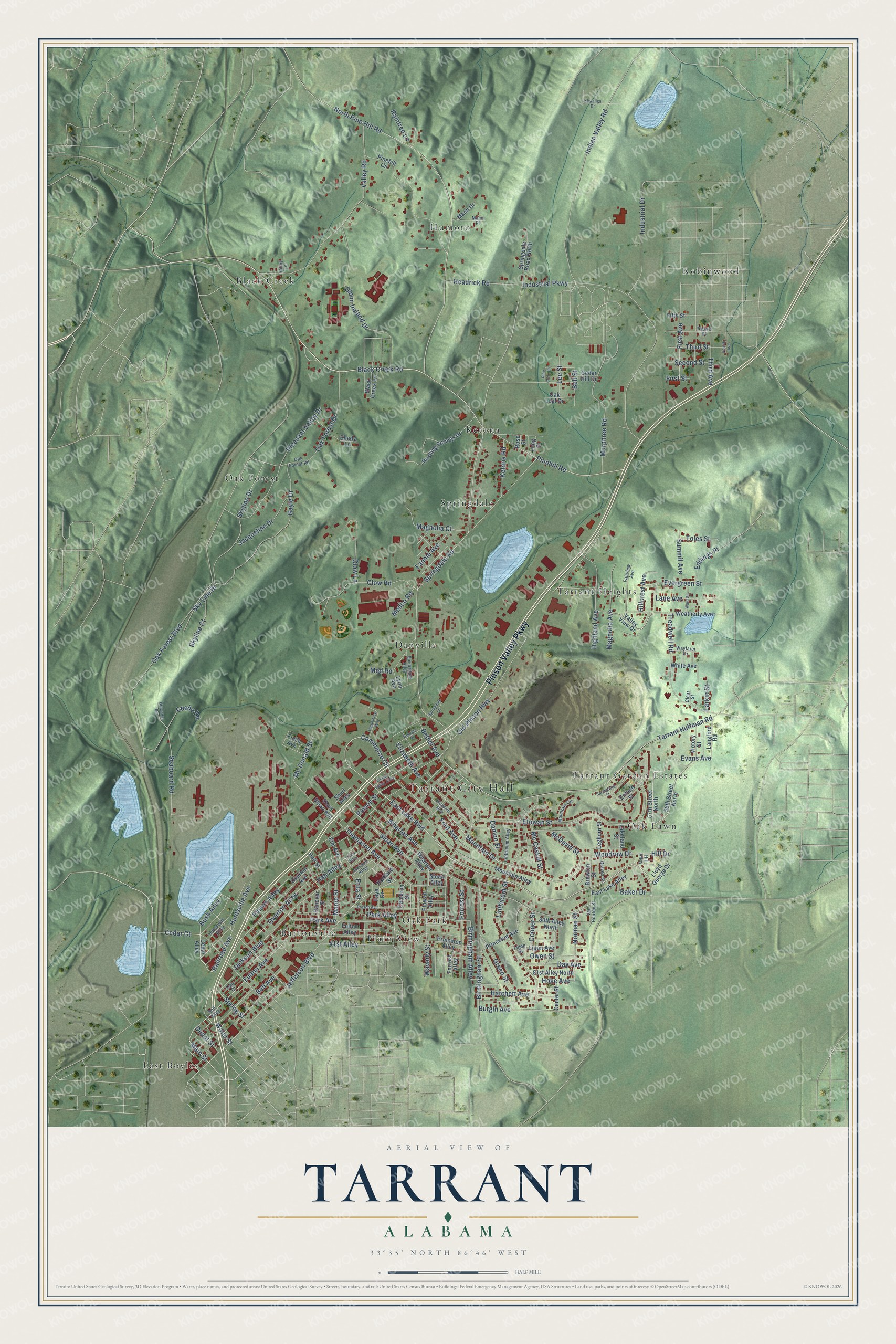
Explore Tarrant, Alabama from a whole new perspective. Created using aerial imagery and detailed geographic data, this map captures Tarrant building by building, with labeled streets, familiar landmarks, and shaded topographical relief that highlights the natural contours of the landscape.
Combining modern data with the timeless character of a vintage atlas, this map is just as interesting up close as it is beautiful on the wall. Whether you grew up in Tarrant, spent memorable years there, or call it home today, this unique map is a great way to celebrate a place that means something to you. Zoom in on the preview to look for your street, and then order a print to put your memories on the wall.
Three ways to hang it
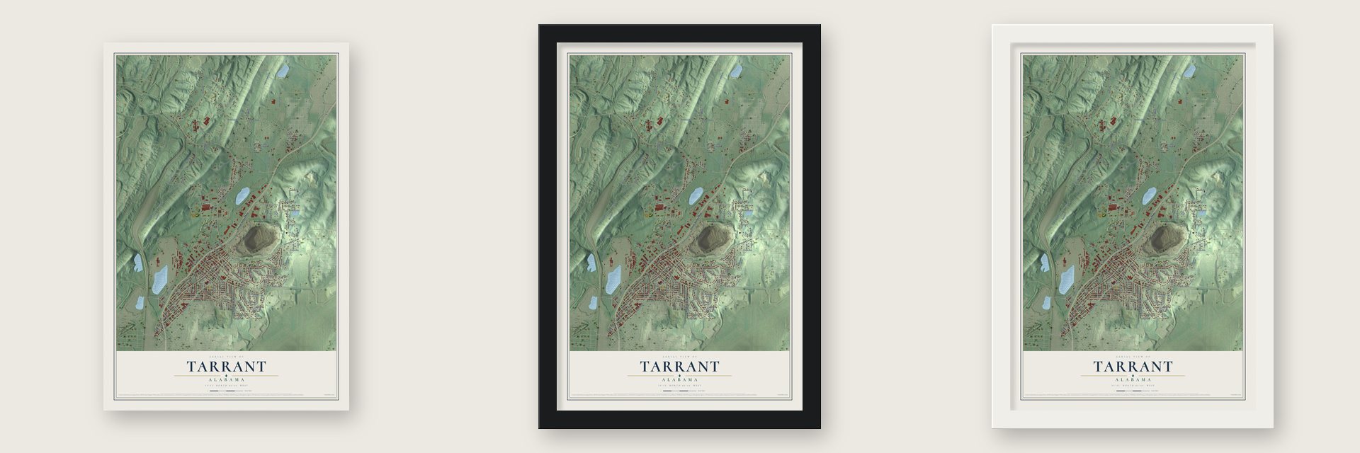
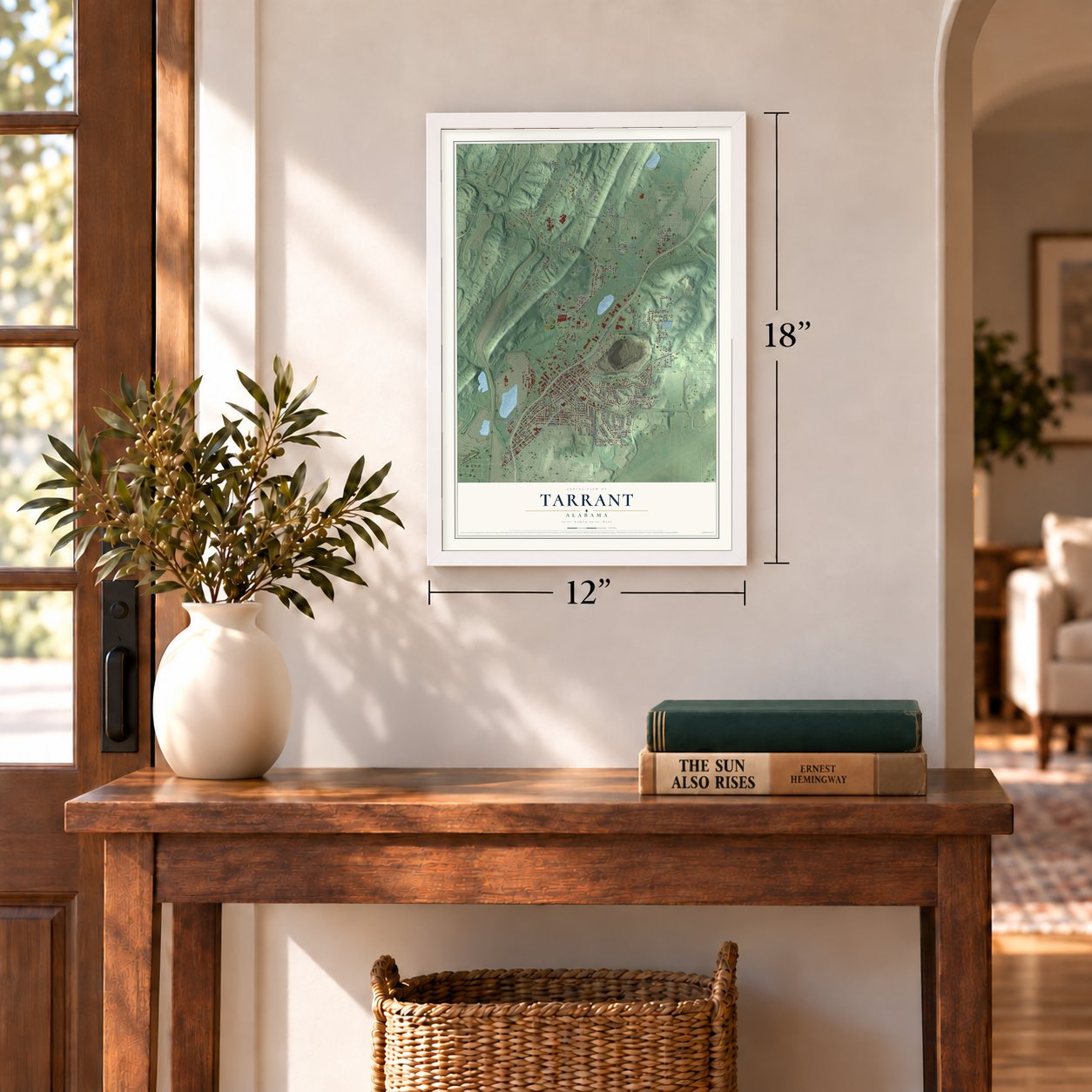
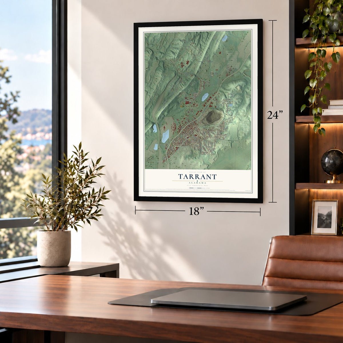
Unframed archival matte, a black wood frame or a white wood frame.
Up close
Geography Worth Displaying
This map was created using accurate cartographic data and authoritative geographic sources, including the U.S. Geological Survey and the Census Bureau. The map brings together terrain, waterways, roads, and building detail. The majority of the streets are labeled, houses are accurately depicted, and the topography is derived from government sources. Combining local data with carefully composed color and shading leads to this beautifully detailed Tarrant artwork for your wall.
Rather than simply showing street outlines, we’ve included as many of the street names as we could reasonably fit on the map while keeping their names legible. Zoom in on the high resolution preview to see exactly what’s on the map. We truly set out to create a statement piece for anyone who loves Tarrant. So whether it’s for you, or a gift for someone you love, we hope this map of Tarrant brings back fond memories.
Read the story behind this map of Tarrant, Alabama from 2026.

About Tarrant, Alabama
Tarrant is a city of 6,124 people in Jefferson County, on the north side of Birmingham. Settlers were arriving by 1818, and they built their first church in 1823. The first store opened in 1869, the same year the Louisville & Nashville Railroad laid a Birmingham Mineral Railroad spur across the area.
For decades the community stayed mostly farmland, much of it given over to dairy farms. That changed in 1912, when the National Cast Iron Pipe Company built a plant here and laid out a town beside it. A contest to name the town was held in 1915, and Tarrant was incorporated on August 17, 1918, with George Washington Thomason as its first mayor.
- Two possible namesakesDuring the naming contest, several people put forward Tarrant to honor Benjamin Tarrant, who had spent most of his life in the community. Other accounts say the name honors Felix I. Tarrant, president of the National Cast Iron Pipe Company, and the sources still disagree. For decades the city was called Tarrant City, until the name was shortened to Tarrant by the 1990 census.
- From 734 to 7,341The first census of Tarrant City, in 1920, counted 734 people. Factories kept coming through the 1920s, among them a rivet maker and a cement plant, and by 1930 the population had grown to 7,341. The city opened its first school in 1920, and its volunteer fire department, formed in 1925, had become a professional one by 1928.
- Hard years in the DepressionThe Great Depression hit Tarrant's economy hard, and many families who couldn't pay their mortgages left their houses behind and moved away. Through the early 1930s the Red Cross helped feed the people who stayed.
- Coke and coffeeAs most of Birmingham's steel mills closed, much of Tarrant's industry went with them. Clow Industries and then McWane Inc. bought the pipe company that started the town, and McWane shut the Tarrant plant. The Drummond Company's ABC Coke plant is here, and Forbes said no other single plant in the country makes more foundry coke. Royal Cup Coffee, which began in Birmingham in 1896 under the name Batterton Coffee Company, roasts coffee in Tarrant.
Find your street
Names on the Tarrant map
Every name below is printed on this map. Look for your street, your school, the park where you played, or the pond down the road.
Places and landmarks15
- Tarrant City Hall
- Bartonville
- Black Creek
- Danville
- East Boyles
- Humoro
- Ketona
- Oak Forest
- Oak Lawn
- Oak Park
- Plain View
- Robinwood
Show all 15 places
- Springdale
- Tarrant Garden Estates
- Tarrant Heights
Streets and roads180
- Pinson Valley Parkway
- East Lake Boulevard
- Black Creek Road
- Pinson Street
- Mountain Drive
- Commerce Circle
- Spring Street
- Cedar Court
- Evans Avenue
- Main Street
- Water Street
- Bush Alley
- Railroad Avenue
- Baker Drive
- Springdale Road
- Skyline Drive
- Hall Alley
- Oak Forest Boulevard
- Etowah Street
- Jackson Boulevard
- Wharton Avenue
- Jefferson Boulevard
- Pinehill Road
- North Pine Hill Road
- Linthicum Street
- Pinson Alley
- Valley Road
- Park Avenue
- Tarrant Huffman Road
- Old Pinson Highway
Show all 180 streets
- Thomason Avenue
- Indian Valley Road
- Fulton Avenue
- Gayle Drive
- Pleasant Valley Drive
- Bethel Avenue
- Park Alley
- Clow Road
- Glenn Ireland Drive
- Oak Forest Drive
- Elizabeth Avenue
- Burgin Avenue
- Birmingham Street
- Murphree Road
- Sloan Avenue
- Treadwell Road
- Ford Avenue
- Overton Alley
- Sky Line Drive
- Seaboard Road
- Ketona Road
- Waverly Street
- Highland Avenue
- Green Street
- Etna Street
- Huntsville Avenue
- Forrest Street
- Industrial Parkway
- Magnolia Avenue
- Bell Avenue
- Owen Street
- Clow Lane
- Magnolia Court
- Hatchett Avenue
- Birmingham Alley
- Jacqueline Drive
- Evergreen Street
- 41st Alley
- First Avenue
- Industrial Drive
- Headrick Road
- Woodrow Drive
- Raintree Lane
- Day Avenue
- Lane Avenue
- Third Street
- Third Avenue
- Skyline Court
- Mc Caskill Street
- Summit Avenue
- Hillcrest Avenue
- Norman Street
- Mc Donald Street
- Eddings Place
- Fannie Avenue
- Second Street
- Maple Street
- Lee Street
- Toles Street
- McDavid Street
- Damon Street
- Hoke Avenue
- Hill Drive
- Cooper Street
- Medco Road
- Depot Street
- Bell Street
- Larkin Street
- Ceebo Road
- Med Road
- First Street
- 57th Street North
- 58th Street North
- Cedar Alley
- Etowah Alley
- Pinehill Circle
- Overton Avenue
- East Lake Alley
- Princeton Avenue
- Fulton Alley
- Wharton Alley
- 81st Alley North
- 80th Alley North
- Mountain Alley
- Elm Avenue
- Enfield Street
- Rushing Springs Drive
- Black Creek Lane
- Weatherly Avenue
- Lynn Avenue
- Lloyd George Drive
- Springdale Road North
- Cedar Hill Drive
- Sloan Alley
- Forrest Alley
- Valley View Drive
- Hall Street
- Hanover Street
- White Avenue
- Langford Road
- Ligon Avenue
- Leghorn Street
- Short Sloan Avenue
- Princeton Alley
- Victory Street
- Brewton Street
- Shady Lane
- Finch Avenue
- Mann Drive
- Center Street
- Lakeland Street
- Cambron Street
- Oak Leaf Drive
- Portland Street
- Short Alley
- Fifth Street
- Long Street
- Faye Drive
- Rose Street
- Bell Alley
- Jackson Alley
- Huntsville Alley
- Fairview Avenue
- Ligon Street
- Fourth Street
- Linthicum Alley
- Van Houten Street
- Springdale Alley
- Hill Alley
- Mountain Circle
- Mann Place
- Graves Street
- Wayfarer Drive
- Oak Forest Road
- Daly Court
- Valley Lane
- Clear Street
- Elizabeth Alley
- Pinson Valley Alley
- Prosch Avenue
- Pine Cone Circle
- Springfield Street
- Commerce Way
- Ward Street
- Brownhill Road
- Georgia Street
- Springdale Lane
- Kowaliga Drive
- Finley Alley
- Fourth Avenue
Names are listed as they appear on the printed map. Zoom into the product photos to find them.
The art of mapping a place
How This Map Was Made
Real places. Remarkable detail. Discover the layers that turn geographic data into a map of home.

The view from above
Aerial imagery reveals the character of the land: woodland, open fields, and the patterns of a place.

The shape of the land
Elevation data brings hills, valleys, and subtle changes in the landscape into view.

The details of home
Roads, waterways, and building footprints come together to make the map feel unmistakably local.

Geography becomes art
Considered color, shading, and typography bring the layers together in a map made for your wall.


Process illustrated with Mendon, Massachusetts. Aerial imagery: USDA NAIP. Terrain: USGS 3D Elevation Program. Map details and finished artwork: KNOWOL.
The Details
About This Print
Choose an archival matte print, or a black or white Ayous wood frame. The archival matte print is unframed.
Select your size and finish above to see the matching product image and price.
Materials & Craftsmanship
A contemporary map with the character of a classic atlas, printed on archival matte paper. Optional frames are made from Ayous wood.
Your printed map does not include the watermark shown in the full-map preview.
Shipping & Delivery
Free shipping within the United States. Every print is made to order in the USA.
Buying a gift? Add a note in your cart and we'll include it. We never put prices in the package.
Prints ship within 2 to 3 business days. Allow 7 to 10 days total from ordering for delivery. Timing may vary during holidays or periods of high order volume.
Read our shipping policy.
Returns and damaged prints
Each print is made to order. Change-of-mind refunds are not available after production.
If your print arrives damaged, misprinted or incorrect, contact support@knowol.com within 30 days of receiving it. Include your order number, photos and a description of the issue.
Read our full refund and replacement policy. For questions about your order, email support@knowol.com.
Find your town
Looking for another city?
Find a map of home in our Alabama collection, or any town in the country.
Nearby
Maps of towns near Tarrant
Know someone from one of these towns? Their map makes a great gift.
 Fultondale
, Alabama
From $39.99See the map
 Birmingham
, Alabama
From $39.99See the map
 Center Point
, Alabama
From $39.99See the map
More maps nearby: Gardendale, Irondale, Mountain Brook, Forestdale and Brookside.