
Search for another town





Free U.S. delivery 7 to 10 days after you order
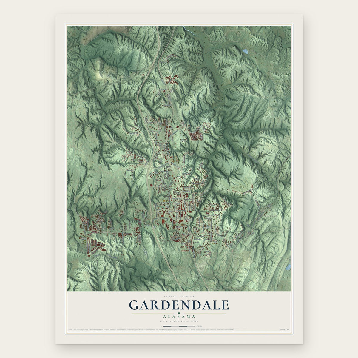
Gardendale, Alabama Map Art
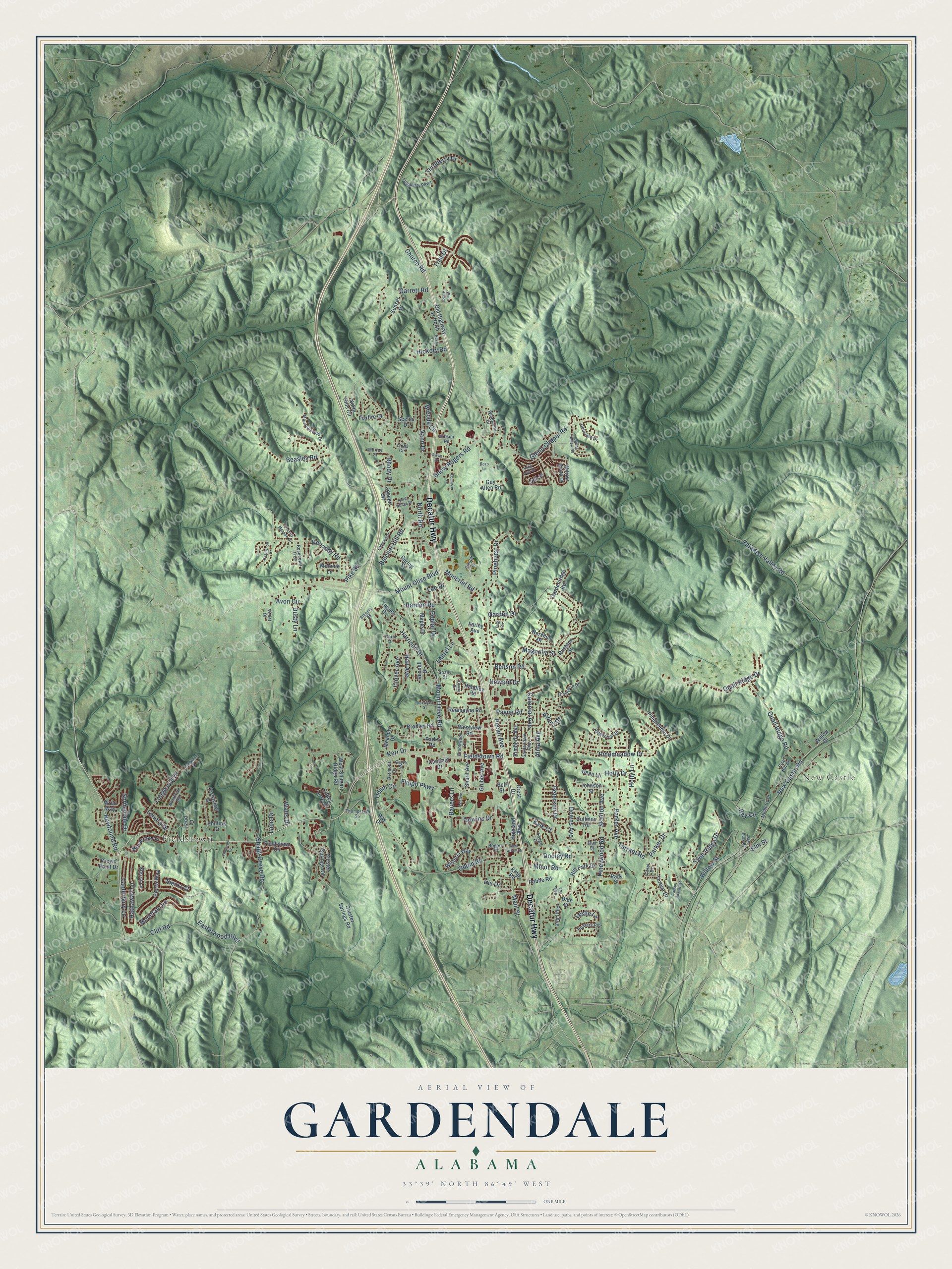
A new map of Gardendale, Alabama, made in 2026 and printed to order on thick archival matte paper.
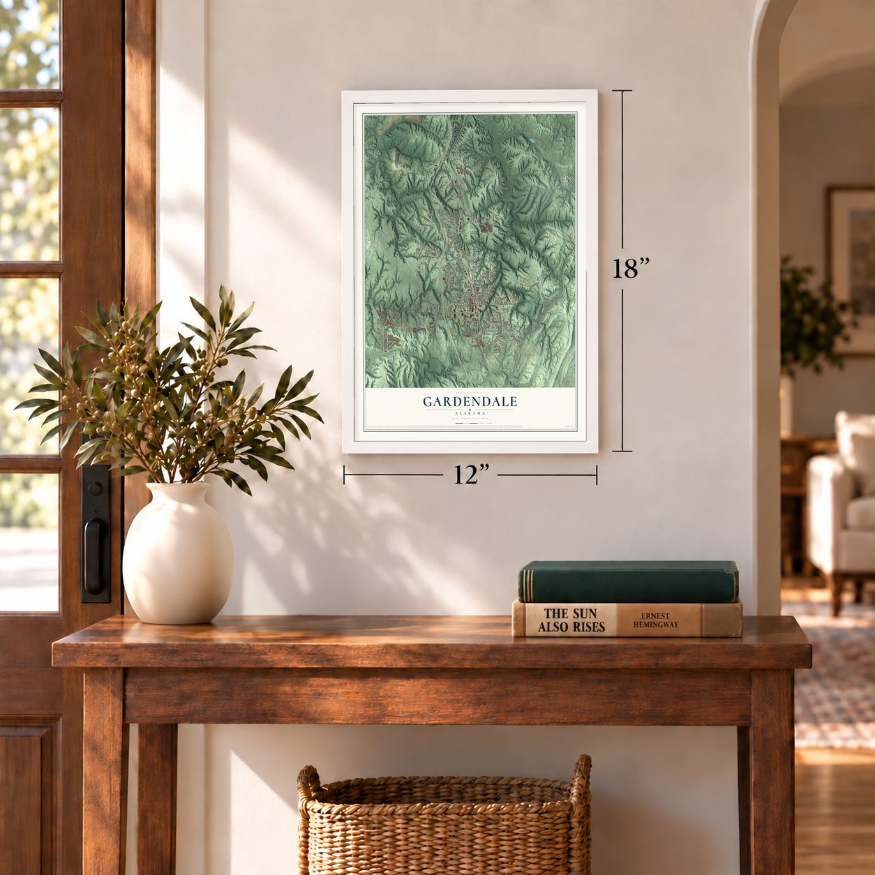
12" x 18" Archival Matte Print
A Map of Home. A Work of Art.
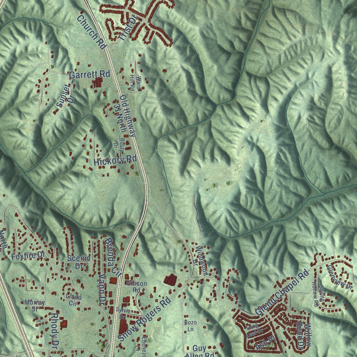
Explore Gardendale, Alabama from a whole new perspective. Created using aerial imagery and detailed geographic data, this map captures Gardendale building by building, with labeled streets, familiar landmarks, and shaded topographical relief that highlights the natural contours of the landscape.
Combining modern data with the timeless character of a vintage atlas, this map is just as interesting up close as it is beautiful on the wall. Whether you grew up in Gardendale, spent memorable years there, or call it home today, this unique map is a great way to celebrate a place that means something to you. Zoom in on the preview to look for your street, and then order a print to put your memories on the wall.
Three ways to hang it
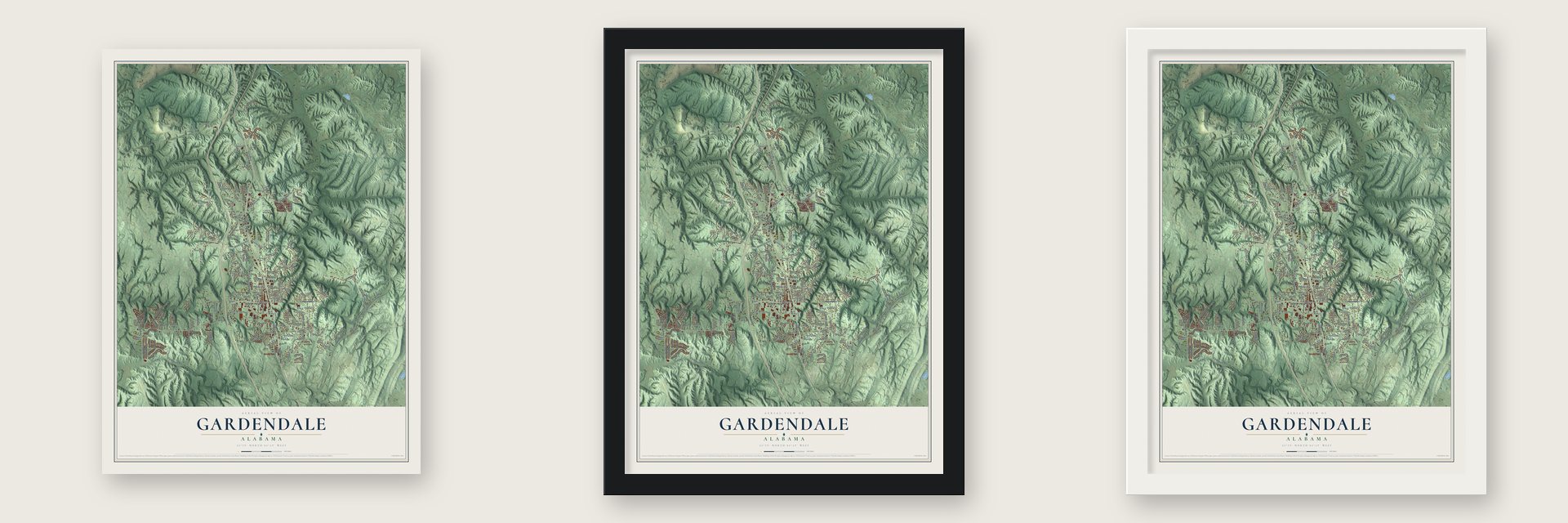
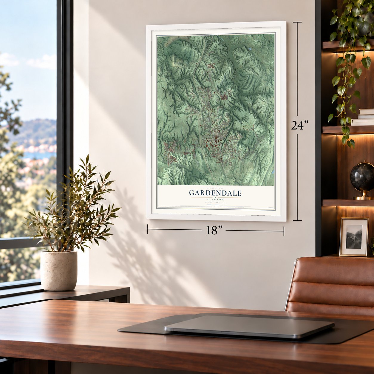
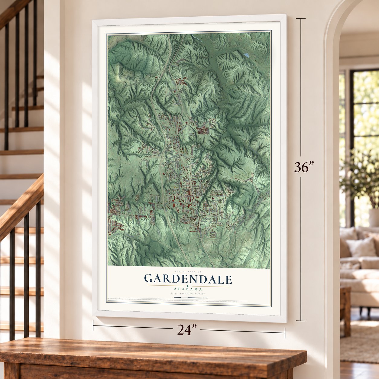
Unframed archival matte, a black wood frame or a white wood frame.
Up close
Geography Worth Displaying
This map was created using accurate cartographic data and authoritative geographic sources, including the U.S. Geological Survey and the Census Bureau. The map brings together terrain, waterways, roads, and building detail. The majority of the streets are labeled, houses are accurately depicted, and the topography is derived from government sources. Combining local data with carefully composed color and shading leads to this beautifully detailed Gardendale artwork for your wall.
Rather than simply showing street outlines, we’ve included as many of the street names as we could reasonably fit on the map while keeping their names legible. Zoom in on the high resolution preview to see exactly what’s on the map. We truly set out to create a statement piece for anyone who loves Gardendale. So whether it’s for you, or a gift for someone you love, we hope this map of Gardendale brings back fond memories.
Read the story behind this map of Gardendale, Alabama from 2026.

About Gardendale, Alabama
Gardendale is a city of 16,044 people in Jefferson County, just north of Birmingham. Veterans of the War of 1812 settled here in the mid-1820s along an old Indian trade route, and a local pottery that turned out jugs and churns gave the settlement its first name, Jugtown.
In the 1870s John T. Milner, one of the founders of Birmingham, opened the New Castle coal mines nearby, and a grist mill and a farmers' cooperative came soon after, so the population grew quickly. Jugtown's first school, named for Milner, opened in 1892, and more families arrived as Birmingham workers looked for room outside the crowded city. The community stayed unincorporated for decades and finally became the City of Gardendale in 1955.
- Renamed in 1906Hettie Thompson Cargo, a local schoolteacher, felt ashamed to tell other teachers at a regional meeting that she came from Jugtown. She pressed town officials to choose a better name, and in 1906 they settled on Gardendale.
- Rammed-earth homesteadsIn the mid-1930s the New Deal built a resettlement community here, the Gardendale Homesteads, for families the Great Depression had uprooted. Architect Thomas Hibben drew experimental house plans, and builders made many of the walls by packing soil down hard, a method called rammed earth.
- On the old stagecoach roadBefore Interstate 65, the main road from Nashville to Birmingham was U.S. Route 31, a twisting two-lane highway that wound through Gardendale and became Main Street in the middle of town. In the fall of 2008, new signs along the original Stouts Road route marked where stagecoaches traveled from Tennessee to Birmingham in the 19th century.
- The Magnolia FestivalEvery spring Gardendale fills Main Street near the Civic Center for its Magnolia Festival. The day brings food and craft vendors, carnival rides, live music, a classic car show and the Little Miss and Miss Gardendale Magnolia Festival pageant.
Find your street
Names on the Gardendale map
Every name below is printed on this map. Look for your street, your school, the park where you played, or the pond down the road.
Places and landmarks2
- New Castle
- Fieldstown
Streets and roads189
- Decatur Highway
- Fieldstown Road
- Mount Olive Road
- North Road
- Mount Olive Boulevard
- Newfound Road
- Elm Street
- Willow Street
- New Castle Road
- Leslie Lane
- Main Street
- Odum Road
- Glenn Chapel Road
- Beasley Road
- Tarrant Road
- Magnolia Street
- Moncrief Road
- Pineywood Road
- Shady Grove Road
- Cliff Road
- Easterwood Boulevard
- Pinemeadow Drive
- Pinehurst Drive
- Belcher Hill Road
- Quail Ridge Drive
- Paradise Valley Road
- Minor Road
- Quail Ridge Road
- Snow Rogers Road
- Payne Road
Show all 189 streets
- Mountain Lane
- Longwood Drive
- Harrison Drive
- Harden Road
- Springdale Drive
- Parker Avenue
- Kennedy Road
- Skelton Avenue
- Laurel Lane
- Peterson Drive
- Colonial Avenue
- Twin Ridge Drive
- Hathaway Lane
- Rhody Drive
- Canterbury Lane
- Flippo Parkway
- Turnberry Drive
- Gowins Drive
- Hickory Road
- Garden Drive
- Pike Street
- Brenda Circle
- Garrett Road
- Pecan Avenue
- Odum Circle
- Dooley Road
- Lenora Drive
- Parker Drive
- Iris Drive
- Kerr Drive
- Bauers Lane
- Avon Circle
- Church Road
- Holly Lane
- Clover Avenue
- Benson Road
- Downs Avenue
- Albert Drive
- Vann Drive
- Poplar Drive
- Hall Avenue
- Trist Drive
- Howard Drive
- Lane Drive
- Dusty Lane
- Alma Avenue
- Bay Circle
- Holly Drive
- Sierra Court
- Watts Drive
- Lee Drive
- Kyle Court
- Willow Bend Drive
- Cluster Springs Road
- West Shugart Ridge Road
- Old Highway 31 North
- Grubbs Avenue
- Gardenridge Road
- Sierra Way
- Meadow Drive
- Phillips Drive
- Cluster Springs Circle
- Woodridge Place
- Melonie Lane
- Bradley Road
- Wisteria Way
- Scenic Drive
- King Road
- Hershel Drive
- Teresa Drive
- Redmayne Road
- Hill Park Drive
- Pineneedle Drive
- Fieldstown Circle
- Cades Cove Drive
- Farley Avenue
- Kimberly Avenue
- Highland Avenue
- Johnson Street
- Maple Drive
- Cullman Road
- Sharit Avenue
- Spring Street
- Westview Road
- Willow Drive
- North Hills Circle
- Caufield Drive
- Crestview Drive
- Dale Street
- Robbe Road
- Sunset Drive
- Wren Way
- Foxfire Drive
- Rushton Street
- Park Street
- Flint Avenue
- Crest Drive
- Crown Point Drive
- Pesnell Drive
- Sierra Lane
- Joseph Circle
- Guy Allen Road
- Handley Road
- Hand Lane
- Dean Lane
- Tanner Drive
- Ash Place
- Parks Road
- Bell Street
- Ray Drive
- Brookline Road
- Mulberry Drive
- Mountainview Drive
- Turnberry Parkway
- Siesta Lane
- Thompson Drive
- Gardendale Alley
- Ridgecrest Drive
- Hunters Run
- Thompston Street
- Glenview Drive
- Brookwood Court
- Windwood Drive
- Bermuda Drive
- Rosedown Trce
- Linda Circle
- Kregg Drive
- Pine Hill Drive
- Garst Drive
- Gibson Road
- Flint Street
- Rogers Road
- Murray Street
- Carol Drive
- Violet Drive
- Gayle Street
- Shady Street
- Red Rock Road
- Rebecca Drive
- Spring Hollow Road
- Longwood Place
- Donna Drive
- Rosewood Drive
- Long Leaf Drive
- Tarrant Road East
- Ebenezer Lane
- Boxwood Street
- Eldorado Drive
- Ward Hill Road
- North Village Drive
- Country Meadow Drive
- Sylvia Drive
- Rusty Drive
- West Tarrant Drive
- Delta Avenue
- Ash Avenue
- Brewers Road
- Bozo Lane
- Pine Circle
Names are listed as they appear on the printed map. Zoom into the product photos to find them.
The art of mapping a place
How This Map Was Made
Real places. Remarkable detail. Discover the layers that turn geographic data into a map of home.

The view from above
Aerial imagery reveals the character of the land: woodland, open fields, and the patterns of a place.

The shape of the land
Elevation data brings hills, valleys, and subtle changes in the landscape into view.

The details of home
Roads, waterways, and building footprints come together to make the map feel unmistakably local.

Geography becomes art
Considered color, shading, and typography bring the layers together in a map made for your wall.


Process illustrated with Mendon, Massachusetts. Aerial imagery: USDA NAIP. Terrain: USGS 3D Elevation Program. Map details and finished artwork: KNOWOL.
The Details
About This Print
Choose an archival matte print, or a black or white Ayous wood frame. The archival matte print is unframed.
Select your size and finish above to see the matching product image and price.
Materials & Craftsmanship
A contemporary map with the character of a classic atlas, printed on archival matte paper. Optional frames are made from Ayous wood.
Your printed map does not include the watermark shown in the full-map preview.
Shipping & Delivery
Free shipping within the United States. Every print is made to order in the USA.
Buying a gift? Add a note in your cart and we'll include it. We never put prices in the package.
Prints ship within 2 to 3 business days. Allow 7 to 10 days total from ordering for delivery. Timing may vary during holidays or periods of high order volume.
Read our shipping policy.
Returns and damaged prints
Each print is made to order. Change-of-mind refunds are not available after production.
If your print arrives damaged, misprinted or incorrect, contact support@knowol.com within 30 days of receiving it. Include your order number, photos and a description of the issue.
Read our full refund and replacement policy. For questions about your order, email support@knowol.com.
Find your town
Looking for another city?
Find a map of home in our Alabama collection, or any town in the country.
Nearby
Maps of towns near Gardendale
Know someone from one of these towns? Their map makes a great gift.
 Mount Olive
, Jefferson County, Alabama
From $39.99See the map
 Fultondale
, Alabama
From $39.99See the map
 Morris
, Alabama
From $39.99See the map
More maps nearby: Brookside, Tarrant, Kimberly, Cardiff and Center Point.