
Search for another town




Free U.S. delivery 7 to 10 days after you order
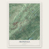
Irondale, Alabama Map Art
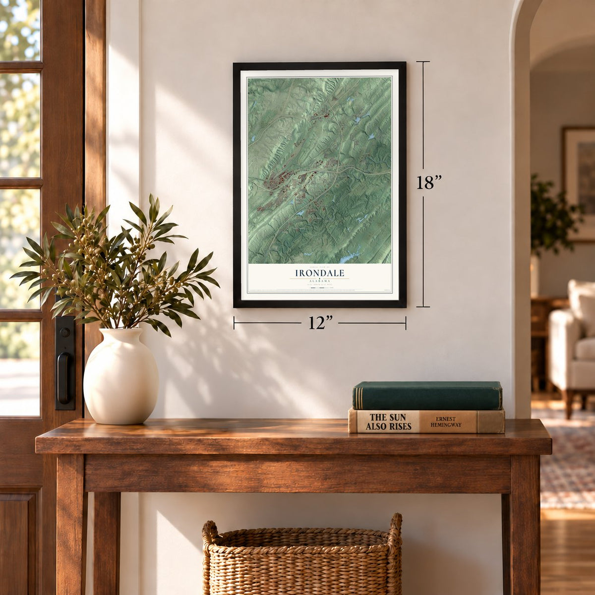
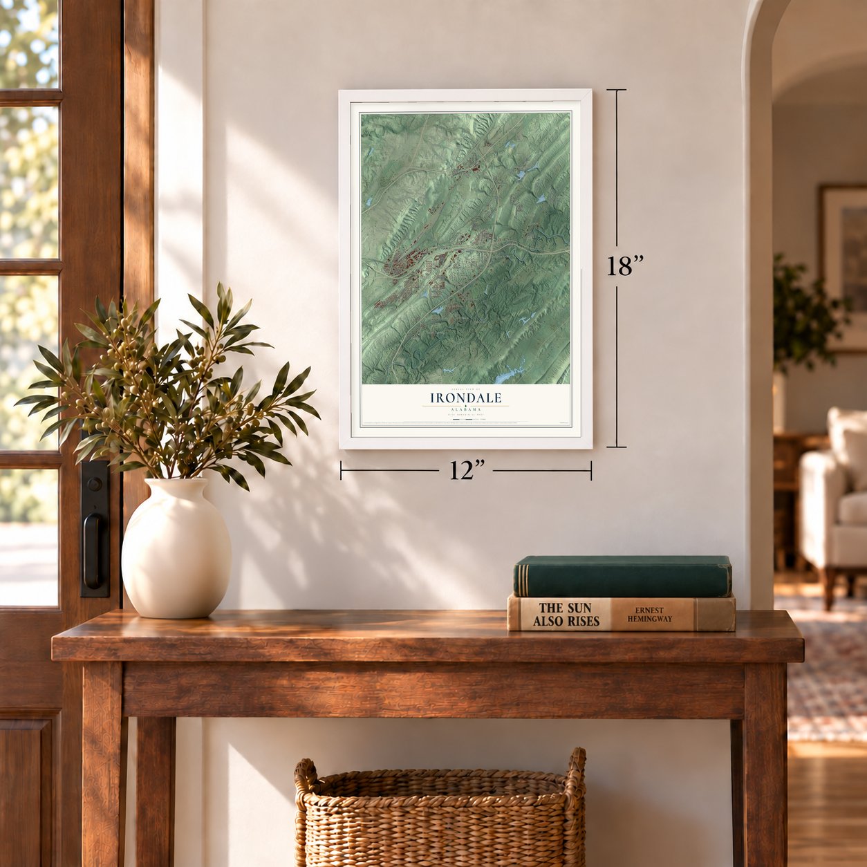
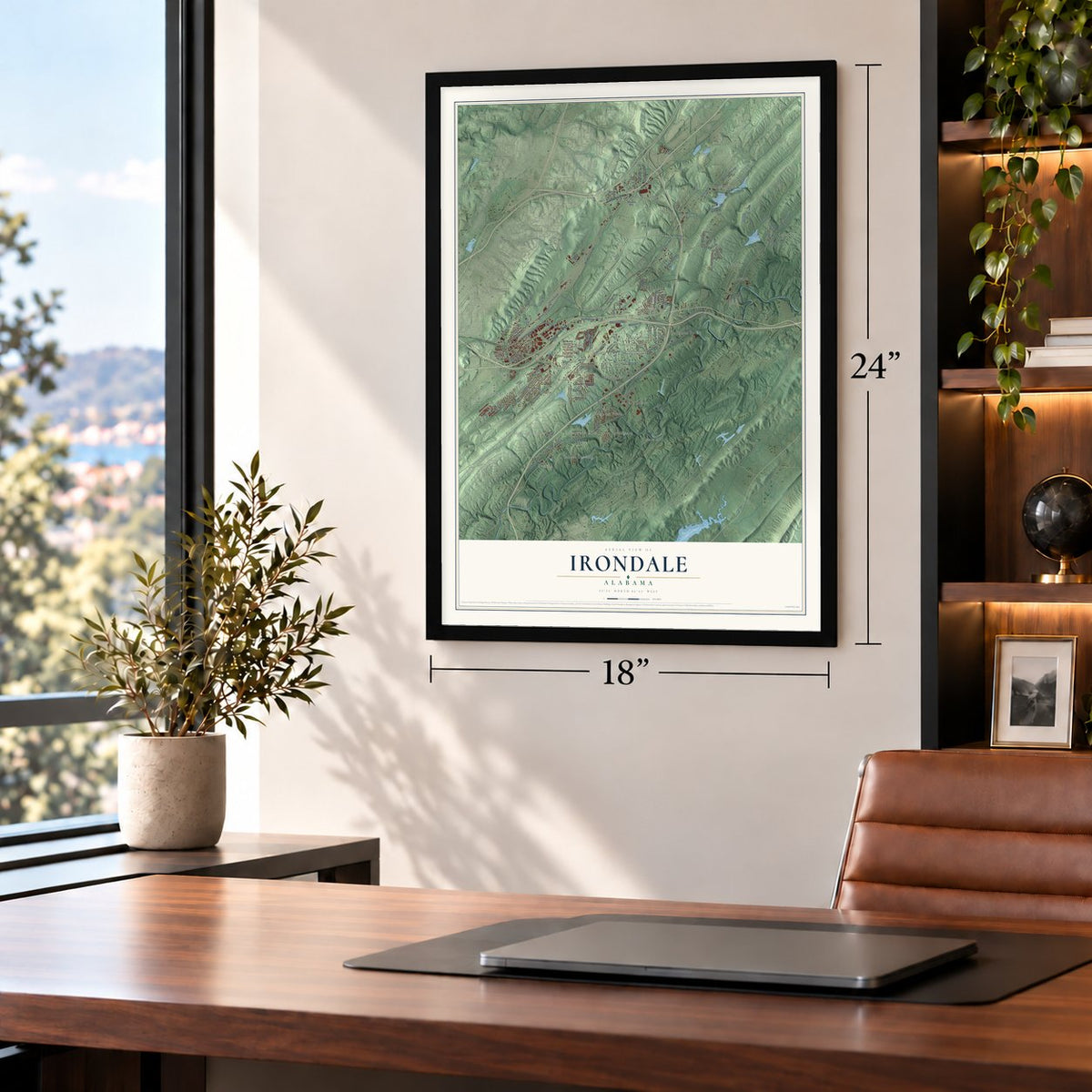
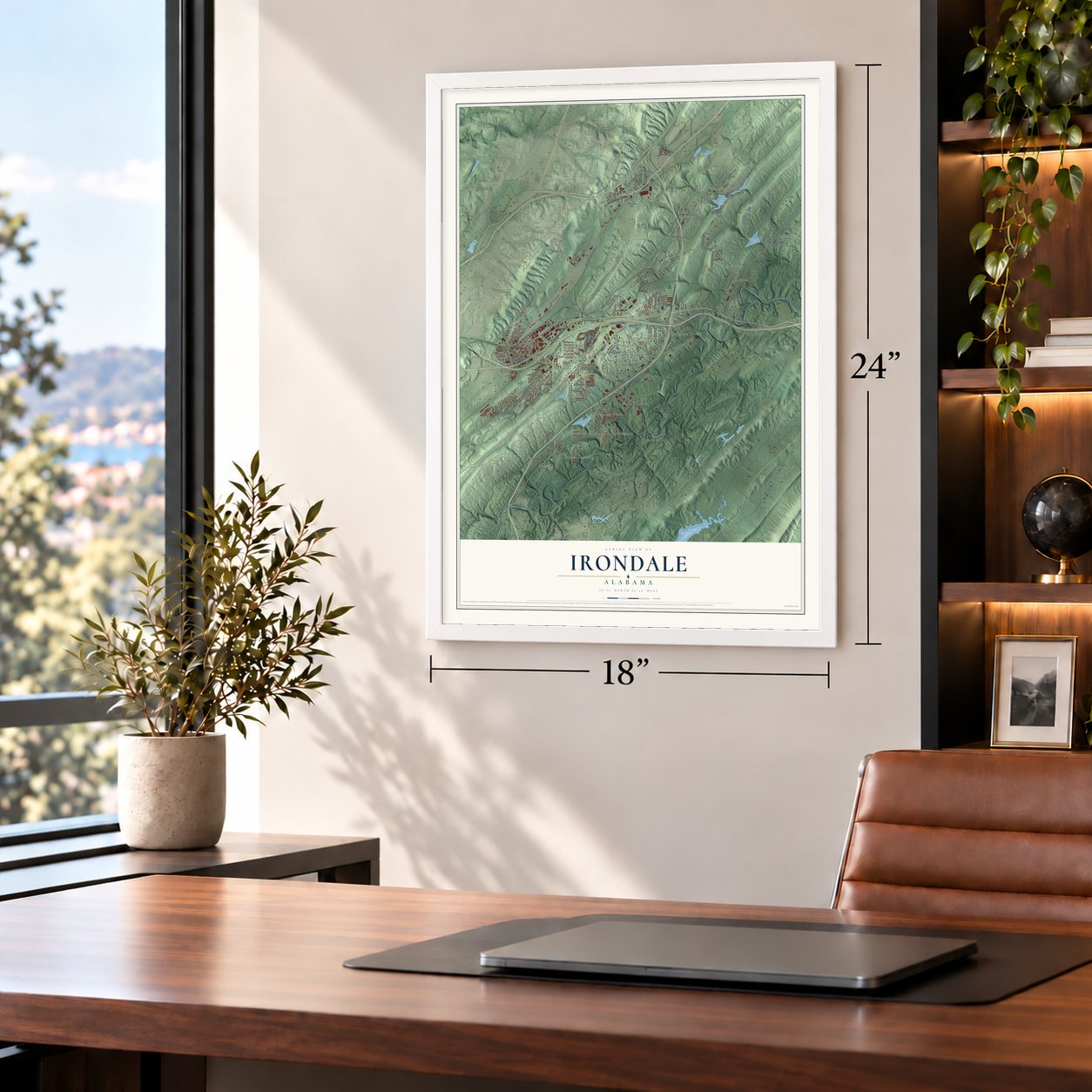
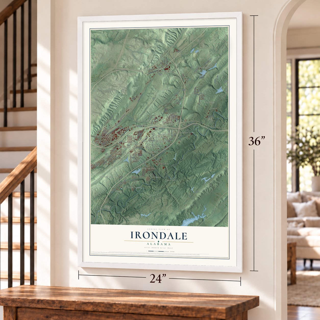
A new map of Irondale, Alabama, made in 2026 and printed to order on thick archival matte paper.
12" x 18" Archival Matte Print
A Map of Home. A Work of Art.
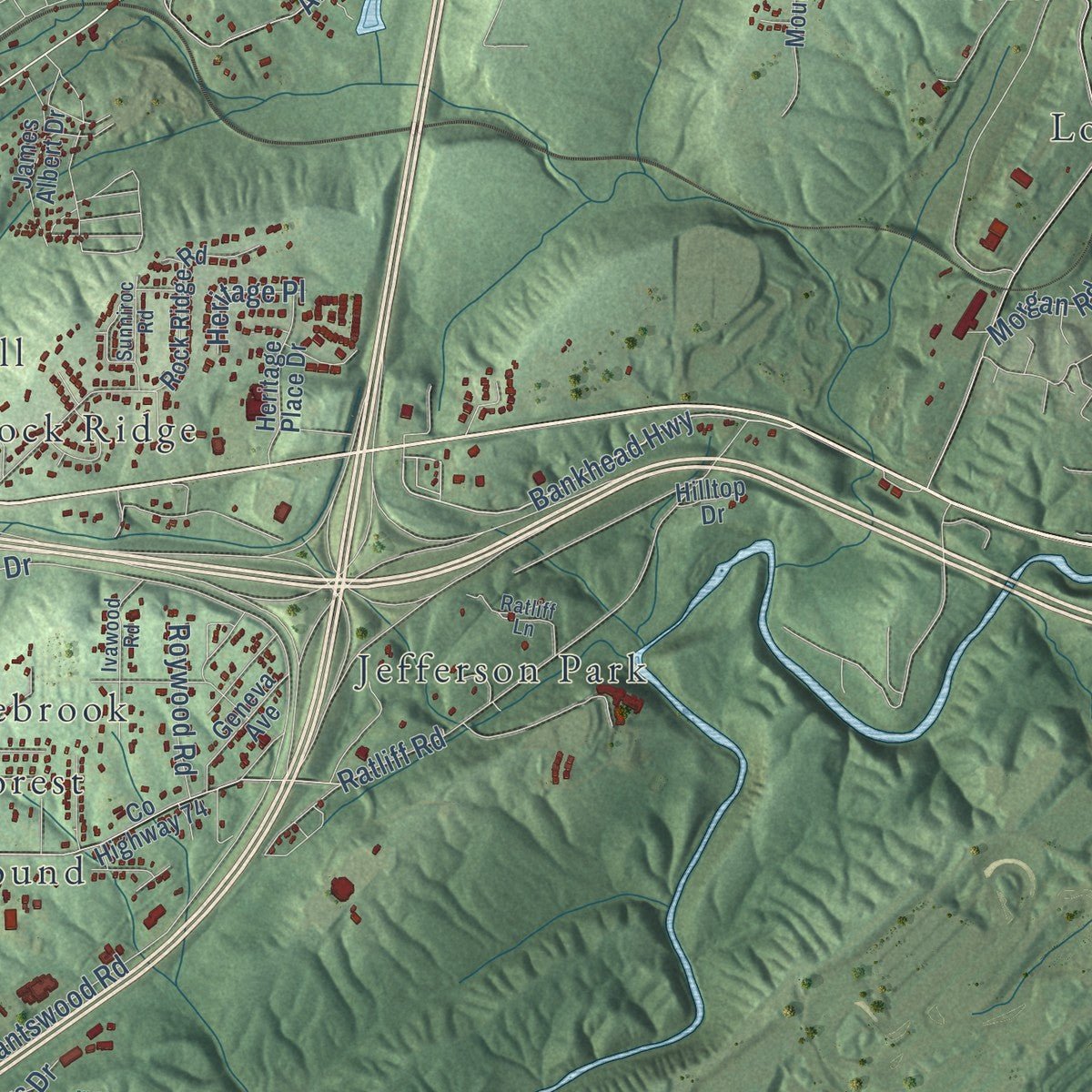
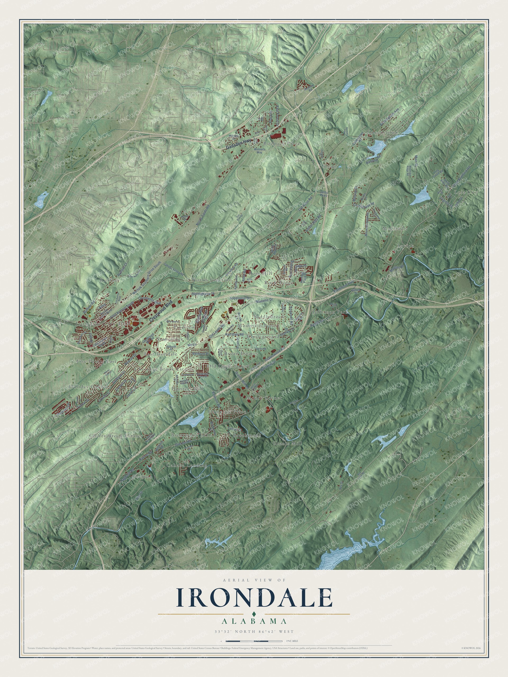
Explore Irondale, Alabama from a whole new perspective. Created using aerial imagery and detailed geographic data, this map captures Irondale building by building, with labeled streets, familiar landmarks, and shaded topographical relief that highlights the natural contours of the landscape.
Combining modern data with the timeless character of a vintage atlas, this map is just as interesting up close as it is beautiful on the wall. Whether you grew up in Irondale, spent memorable years there, or call it home today, this unique map is a great way to celebrate a place that means something to you. Zoom in on the preview to look for your street, and then order a print to put your memories on the wall.
Three ways to hang it
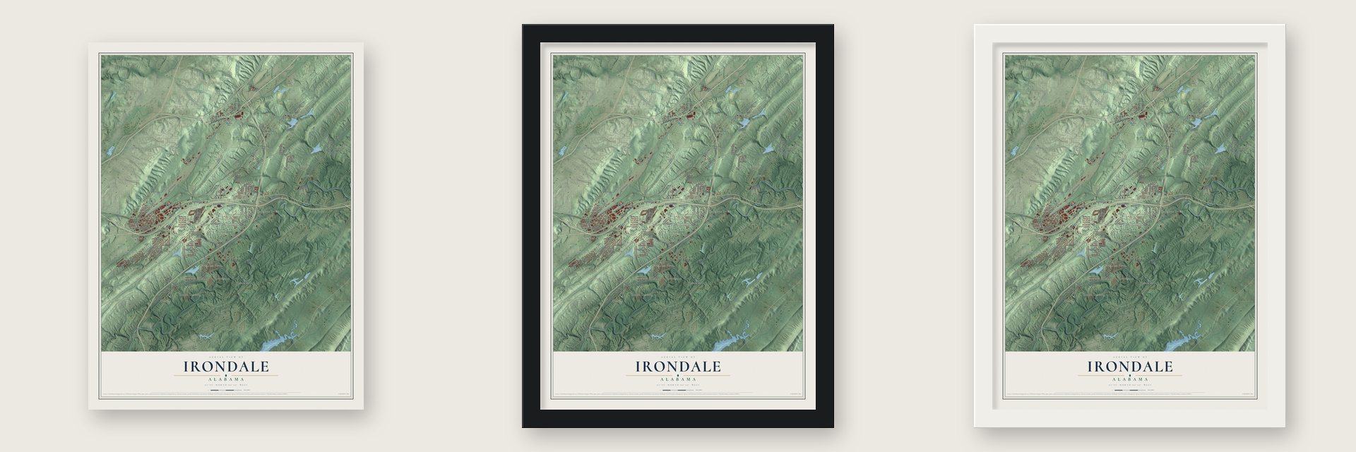
Unframed archival matte, a black wood frame or a white wood frame.
Up close
Geography Worth Displaying
This map was created using accurate cartographic data and authoritative geographic sources, including the U.S. Geological Survey and the Census Bureau. The map brings together terrain, waterways, roads, and building detail. The majority of the streets are labeled, houses are accurately depicted, and the topography is derived from government sources. Combining local data with carefully composed color and shading leads to this beautifully detailed Irondale artwork for your wall.
Rather than simply showing street outlines, we’ve included as many of the street names as we could reasonably fit on the map while keeping their names legible. Zoom in on the high resolution preview to see exactly what’s on the map. We truly set out to create a statement piece for anyone who loves Irondale. So whether it’s for you, or a gift for someone you love, we hope this map of Irondale brings back fond memories.
Read the story behind this map of Irondale, Alabama from 2026.
About Irondale, Alabama
Irondale is a city of 13,497 people in Jefferson County, just east of Birmingham. Long before white settlers came, Creek Indians here dug the area's plentiful iron ore and used it as a red pigment for ritual decoration and body painting. Before the Civil War, W. S. McElwain built the Irondale Furnace on ground that later became the town, and people living nearby began calling the whole place after it.
Federal troops under James H. Wilson destroyed the furnace in a raid during the war. Afterward McElwain and several partners pooled their money and fired it up again, and soon more than 500 men worked there. Joseph F. Johnston, later governor of Alabama, bought the furnace in 1876. A post office opened in 1883 under the name Brevard, the Georgia and Pacific Railway reached town that same year, and in 1887 the town was incorporated under the furnace's name, Irondale.
- The Ruffner Mines of 1887The Ruffner Mines opened the same year Irondale was incorporated, and the work they brought made the town grow. At that time Irondale was a square of four blocks, lined with several stores and a lumber company.
- A railroad town since 1883The Seaboard Railroad built a line from Irondale to Birmingham in 1905, and telephone lines arrived around then. Streetcars followed in 1913 and electricity in 1919. For years the town was a key rail center for Birmingham's iron and steel mills. It slumped when that industry declined in the Great Depression, then recovered with the boom of World War II, and in 1951 the Norfolk Southern Railroad built its Norris Yard here.
- Home of Fried Green TomatoesAuthor Fannie Flagg grew up in Irondale, and the town inspired her novel of 1987. That book, Fried Green Tomatoes at the Whistle-Stop Café, became a bestseller and later a successful film, and its cafe was modeled on the Irondale Cafe. Each autumn the city honors its past with the Whistle-Stop Festival, with live music, arts and crafts demonstrations, children's games and food.
- EWTN, started in a garageMother Angelica, a Catholic nun, founded the Eternal Word Television Network in 1981, beginning its operations in a garage. The Catholic radio and television broadcaster still has its headquarters in Irondale.
- Barbecue since 1891Golden Rule Bar-B-Q was founded in Irondale in 1891, only a few years after the town was incorporated. It is counted as the oldest restaurant in Alabama.
Find your street
Names on the Irondale map
Every name below is printed on this map. Look for your street, your school, the park where you played, or the pond down the road.
Places and landmarks32
- Irondale City Hall
- Lola City
- Alton
- Battleground
- Brentwood Hills
- Brookmont
- Bryan Estates
- Cahaba Landing
- Cherokee Brook Estates
- Cherry Brook Estates
- East Irondale
- Five Points East
Show all 32 places
- Grants Mill
- Hampton Place
- Holiday Gardens
- Hunters Hill
- Jefferson Park
- Lovick
- McCombs
- Moore Corner
- Mountain Forest
- Norris Junction
- Old Leeds Forest
- Overton
- Pineview
- Queenstown
- Rock Ridge
- Roebuck Plaza
- Rose Hill
- Ruffner
- Saddlebrook
- Stoneridge
Streets and roads120
- Crestwood Boulevard
- Gadsden Highway
- Alton Road
- Bankhead Highway
- Ruffner Road
- Grants Mill Road
- Overton Road
- Amber Hills Road
- Grantswood Road
- County Highway 98
- Old Leeds Road
- Floyd Bradford Road
- Norris Yards Road
- Karl Daly Road
- Belmont Road
- Ransom Road
- Pine Street
- Norfolk Southern Drive South
- Ratliff Road
- First Avenue South
- Cornell Drive
- Hagbush Road
- Goldmar Drive
- Fulmar Drive
- Birmingham Avenue
- Appaloosa Drive
- Beacon Drive
- Ravine Road
- Main Street
- Commerce Boulevard
Show all 120 streets
- Janet Lane
- Pine Whispers Drive
- Old Highway 78
- Grants Way
- Old Alton Road
- Monroe Drive
- Plaza Drive
- East Forest Drive
- Ruffner Court
- Roywood Road
- John Street
- Virginia Street
- Masonic Drive
- Belmont Place
- Heritage Place
- Morgan Road
- Alley
- 15th Street
- Winners Way
- County Highway 74
- Rock Ridge Road
- Queenstown Road
- Fifth Avenue South
- Old Grants Mill Road
- Lola Cutoff Road
- Mountain View Road
- Cahaba Valley Road
- Trillium Drive
- Smith Sims Road
- Bryan Drive
- Crowley Drive
- Hamby Avenue
- Brookmont Drive
- James Albert Drive
- Brownlee Road
- Heritage Place Drive
- Sharpsburg Drive
- Creekside Gln
- Geneva Avenue
- Brooks Lane
- Terry Lane
- Morrow Road
- Millstone Road
- Burns Lane
- Hood Drive
- Derby Parkway
- William Drive
- Rex Street
- Hilltop Drive
- Mill Lane
- Ivy Drive
- Bermuda Drive
- Old Ivy Road
- Second Avenue North
- Rex Lake Road
- Hunters Hill Road
- Mountain Ridge Road
- Ratliff Lane
- Montevallo Road
- Ivawood Road
- Sunniroc Road
- Horst Hill Road
- Shades Trce
- Creekview Lane
- Wood Street
- Cherry Brook Run
- Bainbridge Trace Drive
- Edwards Street
- Bramble Lane
- Clayton Street
- Self Lane
- First Avenue North
- Pineview Road
- Hillsedge Road
- Sunset Boulevard
- Scenic View Drive
- Lower Ruffner Road
- Bryan Street
- Mary Taylor Road
- Moss Rock Lane
- Grantswood Place
- Havenhill Drive
- Wonder Lane
- Ethel Lane
- Nameless Road
- Alton Court
- Cloud Crest Drive
- Deering Street
- Gun Club Road
- Ventura Drive
Names are listed as they appear on the printed map. Zoom into the product photos to find them.
The art of mapping a place
How This Map Was Made
Real places. Remarkable detail. Discover the layers that turn geographic data into a map of home.

The view from above
Aerial imagery reveals the character of the land: woodland, open fields, and the patterns of a place.

The shape of the land
Elevation data brings hills, valleys, and subtle changes in the landscape into view.

The details of home
Roads, waterways, and building footprints come together to make the map feel unmistakably local.

Geography becomes art
Considered color, shading, and typography bring the layers together in a map made for your wall.


Process illustrated with Mendon, Massachusetts. Aerial imagery: USDA NAIP. Terrain: USGS 3D Elevation Program. Map details and finished artwork: KNOWOL.
The Details
About This Print
Choose an archival matte print, or a black or white Ayous wood frame. The archival matte print is unframed.
Select your size and finish above to see the matching product image and price.
Materials & Craftsmanship
A contemporary map with the character of a classic atlas, printed on archival matte paper. Optional frames are made from Ayous wood.
Your printed map does not include the watermark shown in the full-map preview.
Shipping & Delivery
Free shipping within the United States. Every print is made to order in the USA.
Buying a gift? Add a note in your cart and we'll include it. We never put prices in the package.
Prints ship within 2 to 3 business days. Allow 7 to 10 days total from ordering for delivery. Timing may vary during holidays or periods of high order volume.
Read our shipping policy.
Returns and damaged prints
Each print is made to order. Change-of-mind refunds are not available after production.
If your print arrives damaged, misprinted or incorrect, contact support@knowol.com within 30 days of receiving it. Include your order number, photos and a description of the issue.
Read our full refund and replacement policy. For questions about your order, email support@knowol.com.
Find your town
Looking for another city?
Find a map of home in our Alabama collection, or any town in the country.
Nearby
Maps of towns near Irondale
Know someone from one of these towns? Their map makes a great gift.
 Leeds
Leeds, Alabama
From $39.99See the map
 Mountain Brook
, Alabama
From $39.99See the map
 Vestavia Hills
, Alabama
From $39.99See the map
More maps nearby: Tarrant, Brook Highland, Center Point, Grayson Valley and Dunnavant.