
Search for another town


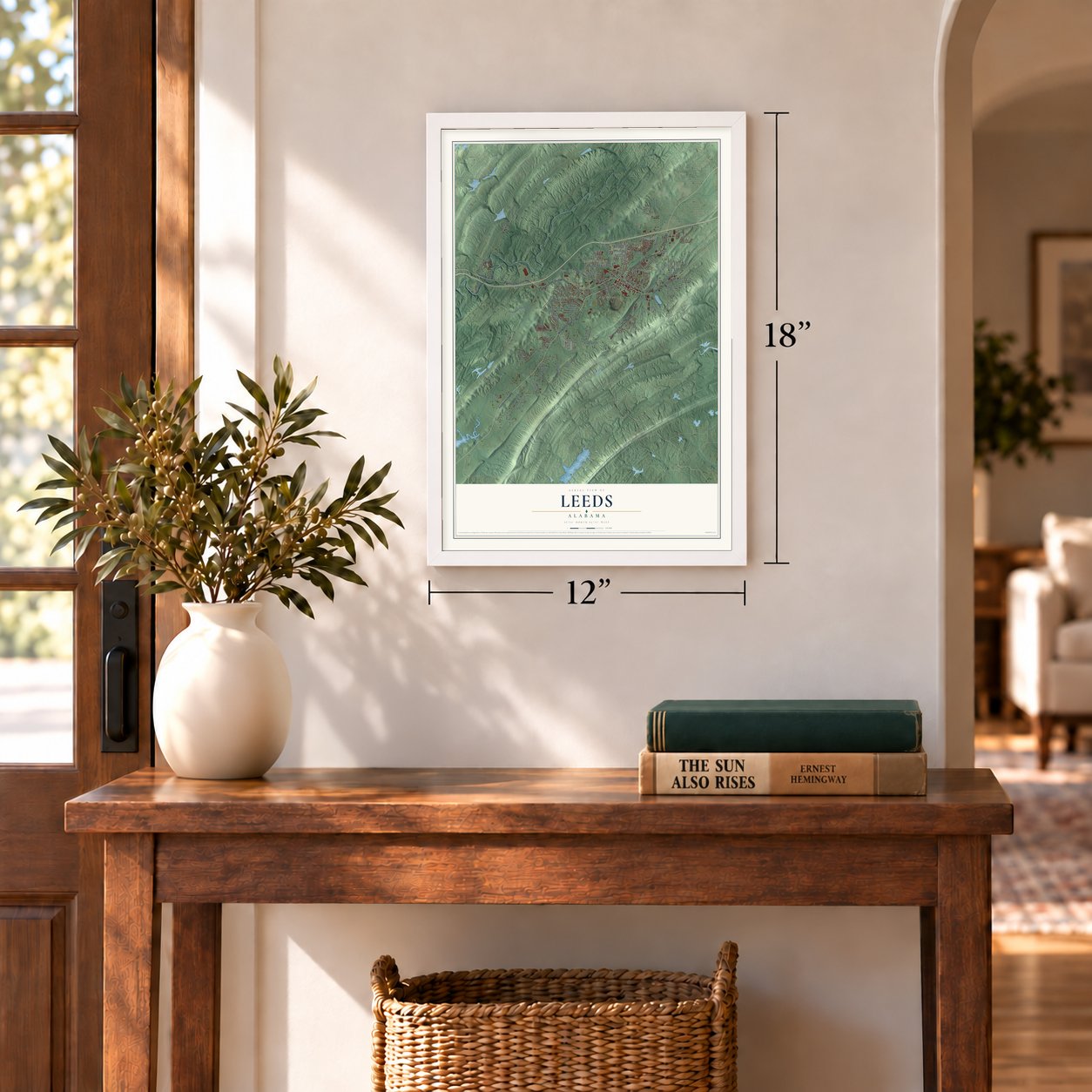

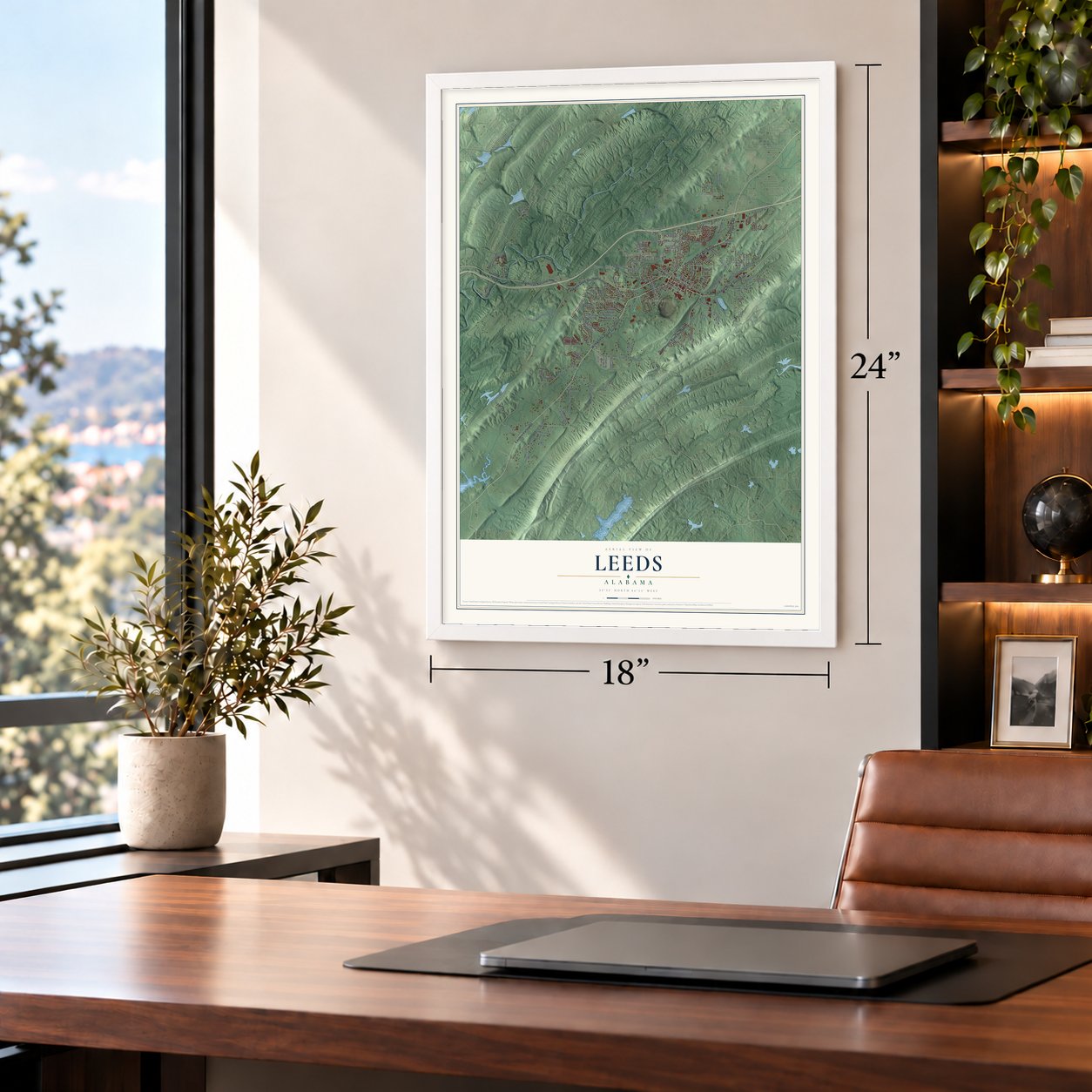
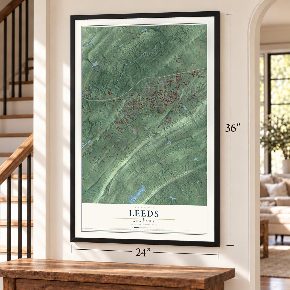
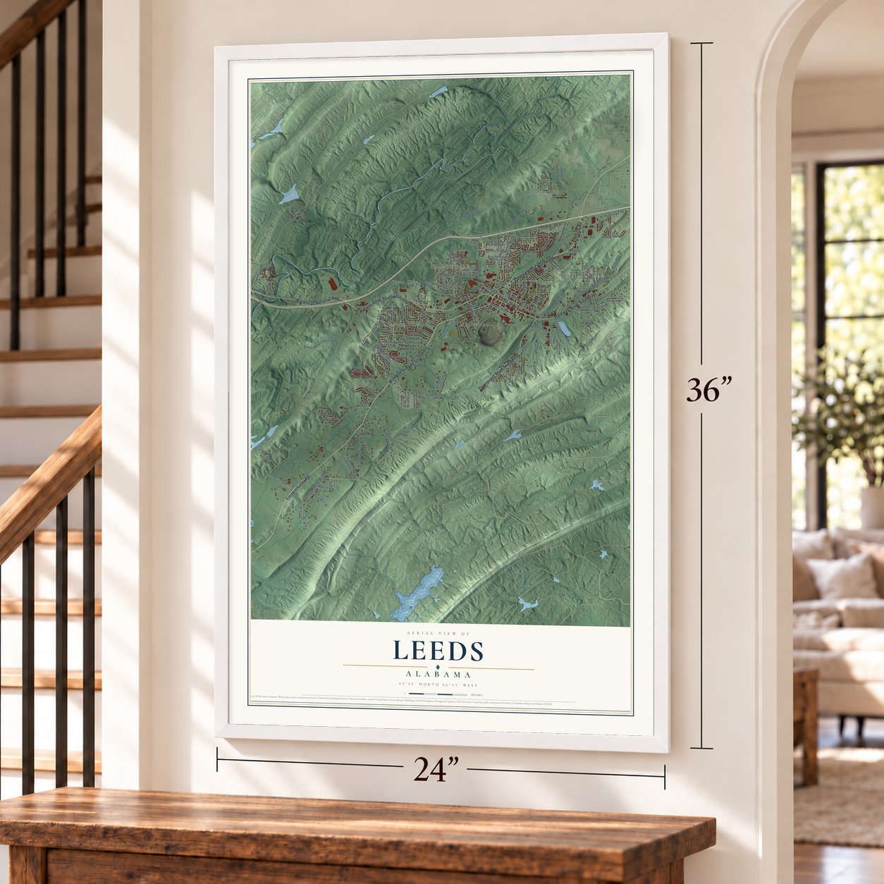

Free U.S. delivery 7 to 10 days after you order
Leeds, Alabama Map Art
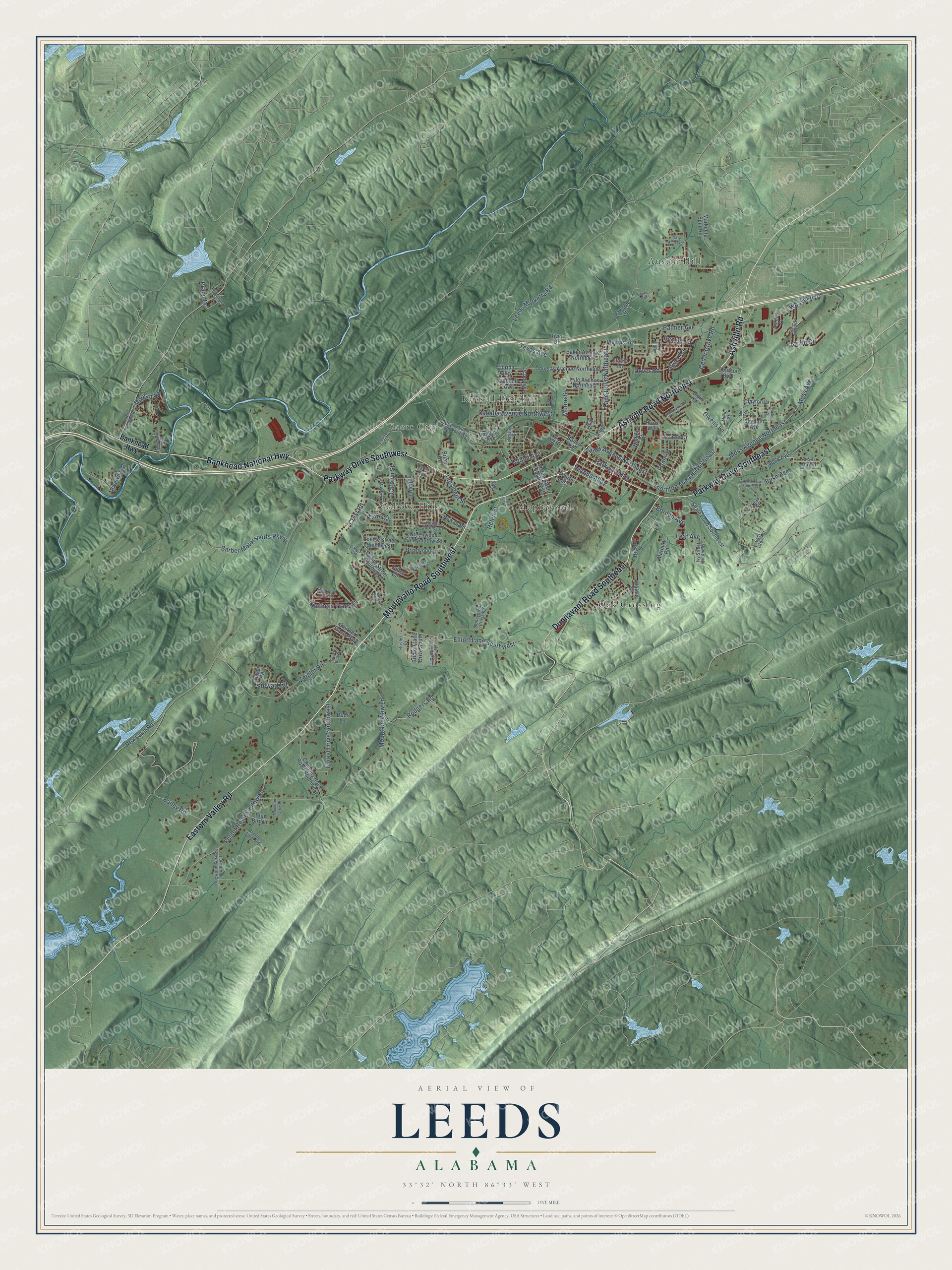
A new map of Leeds, Alabama, made in 2026 and printed to order on thick archival matte paper.
12" x 18" Archival Matte Print
A Map of Home. A Work of Art.
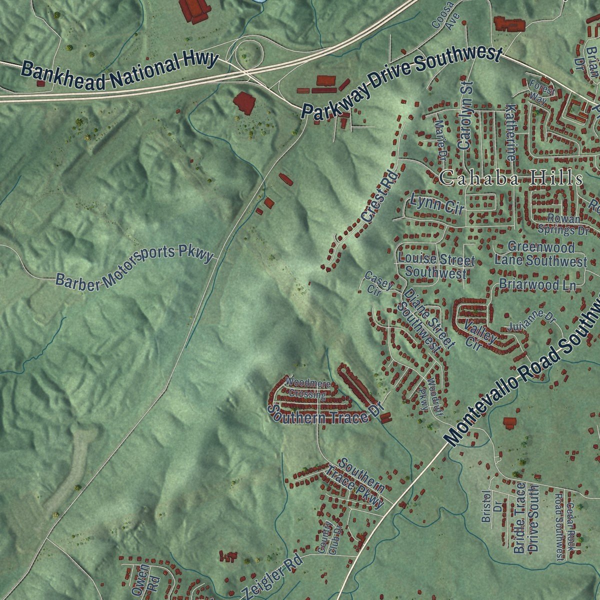
Explore Leeds, Alabama from a whole new perspective. Created using aerial imagery and detailed geographic data, this map captures Leeds building by building, with labeled streets, familiar landmarks, and shaded topographical relief that highlights the natural contours of the landscape.
Combining modern data with the timeless character of a vintage atlas, this map is just as interesting up close as it is beautiful on the wall. Whether you grew up in Leeds, spent memorable years there, or call it home today, this unique map is a great way to celebrate a place that means something to you. Zoom in on the preview to look for your street, and then order a print to put your memories on the wall.
Three ways to hang it
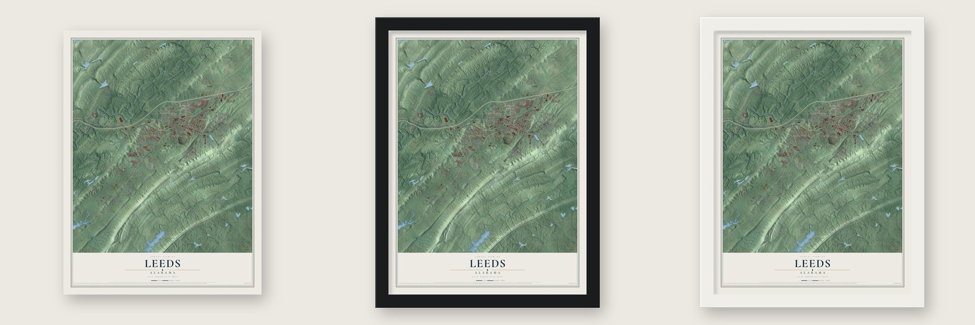
Unframed archival matte, a black wood frame or a white wood frame.
Up close
Geography Worth Displaying
This map was created using accurate cartographic data and authoritative geographic sources, including the U.S. Geological Survey and the Census Bureau. The map brings together terrain, waterways, roads, and building detail. The majority of the streets are labeled, houses are accurately depicted, and the topography is derived from government sources. Combining local data with carefully composed color and shading leads to this beautifully detailed Leeds artwork for your wall.
Rather than simply showing street outlines, we’ve included as many of the street names as we could reasonably fit on the map while keeping their names legible. Zoom in on the high resolution preview to see exactly what’s on the map. We truly set out to create a statement piece for anyone who loves Leeds. So whether it’s for you, or a gift for someone you love, we hope this map of Leeds brings back fond memories.

About Leeds, Alabama
Leeds is a city of 12,324 people, mostly in Jefferson County, and it has grown into Shelby and St. Clair Counties as well. It began along an old Indian trail, and many of its settlers had fought in the War of 1812 and in the Creek War of 1813-14. James Hamilton, Shelby County's first sheriff, settled at Cedar Grove in 1816. The trail became a busy stagecoach road, and Cedar Grove gained a post office in the late 1820s or early 1830s before taking the name Oak Ridge in 1869.
Iron ore, limestone, chalk and clay drew industrialists to the area, and they brought railroads that linked it with Atlanta and Savannah, Georgia. The Southern Railroad Depot dates from about 1875 and joined the National Register in 1983. In 1884 the town was renamed for Leeds, the industrial city in Yorkshire, England, and it was incorporated on April 27, 1887.
- John Henry's tunnelMany tellers of the John Henry legend set his race against a steam drill in Leeds. Folklorist John Garst of the University of Georgia argued that it happened at the Columbus and Western Railway's tunnel through Oak Mountain or Coosa Mountain on September 20, 1887. He drew on the account of C.C. Spencer, who said in the 1920s that he saw the contest. Since 2007 Leeds has held a John Henry Celebration on the third weekend in September.
- The City of ValorThree Medal of Honor recipients from Leeds gave the city its nickname: William Lawley, Alford McLaughlin and Henry "Red" Erwin. A wall honors them in the Jonathan Bass House Museum, a house from about 1865 that joined the National Register in 2008. In spring 2023 band director Chip Wise wrote a piece called City of Valor, and the Pearl Harbor National Memorial invited his band to play it there on March 26, 2024.
- Cement since 1906In 1906 Col. J. Ross Hanahan and Maj. Frederick Lewis turned the rich mineral deposits into a business, the Standard Portland Cement Company, and the town grew around it. The Lehigh Cement Company of Allentown, Pennsylvania, bought the plant in the mid-1980s, and after many upgrades it is still running.
- A school started in 1921Freed slaves founded Scott City near Mt. Pleasant Church. In 1921 four men, Jeff Harris, Hillard Holley, Bill Johnson and Ciscero Davis, started a school for Black children, which became Robert Russa Moton High School in the Moton Park section. After desegregation it served as a junior high, and in 2012 it reopened as the Robert R. Moton Community Center.
Find your street
Names on the Leeds map
Every name below is printed on this map. Look for your street, your school, the park where you played, or the pond down the road.
Places and landmarks6
- Austin Hill
- Cahaba Hills
- Maplewood
- Oak Crossing
- Russell Heights
- Scott City
Streets and roads133
- Ashville Road Northeast
- Ashville Road
- Montevallo Road Southwest
- Eastern Valley Road
- Parkway Drive Southwest
- Parkway Drive Southeast
- Dunnavant Road Southeast
- Bankhead National Highway
- Lane Drive Northeast
- Moore Street
- Moss Avenue Northeast
- Thornton Avenue Northeast
- Stewart Road
- Mountain View Lane
- Rex Lake Road
- Elliott Lane Southwest
- Zeigler Road
- Foster Road Southwest
- Leeds Marketta Road
- Cahaba Avenue Northwest
- Bailey Road
- Weaver Avenue
- Carolyn Street
- Farley Avenue Northeast
- Palmer Avenue
- Barber Motorsports Parkway
- Southern Trace Drive
- Forest Drive Southwest
- Crest Road
- Dover Road
Show all 133 streets
- Cedar Grove Road
- Parkway Alley
- Rodgers Road
- Oliver Road
- Borden Avenue
- Texas Avenue
- President Street
- Bush Avenue
- Jardin Circle
- Lynn Circle
- Moss Avenue
- Second Alley
- Becker Lane
- Leaf Avenue
- Prado Drive
- Helen Street
- Miami Avenue
- Morgan Road
- Owens Lane
- Poole Street
- Bankhead Highway
- Vivian Street Southwest
- Phillips Road
- Lisa Ann Drive
- Bark Avenue
- Indiana Avenue
- Shale Road Southeast
- Rowan Road
- Valley Circle
- Diane Street Southwest
- Douglas Avenue Northeast
- Chimney Rock Road Southwest
- Southern Trace Parkway
- Riverview Drive
- Courson Boulevard
- Markeeta Spur Road
- Brian Drive
- Katherine
- Briarwood Lane
- Moton Street
- Baker Avenue Northeast
- Greenwood Lane Southwest
- Whitmire Street
- Lyle Avenue Northeast
- Walnut Street
- Dawson Street
- Clayton Drive
- Blair Street
- Louise Street Southwest
- Alabama Avenue
- Bridle Trace Drive South
- Clarke Lane
- Seventh Avenue
- Florida Alley
- Hurst Avenue
- Sunset Drive
- Marbury Road
- Blue Bird Lane
- Bailey Avenue
- Hickory Street
- Deer Lane
- Ashley Drive
- Owen Road
- Fourth Alley
- River Drive
- Allen
- Pear Street
- Bass Street
- Henry Ellen Road Northwest
- Coosa Avenue
- Rowan Springs Drive
- Dogwood Terrace Southwest
- Stoneybrook Crossing
- Brasher Farm Road
- Julianne Drive
- Poinciana Drive
- Marie Drive
- Ivy Street Southeast
- East Grove Street
- Casey Circle
- Millie Street
- Bristol Drive
- Albany Street
- Hall Avenue
- Faye Street
- Kelly Lane
- Floyd Bradford Road
- Gary Alan Trce
- Azalea Drive Southeast
- Nichols Street
- Clairmont Drive
- Cedar Rock Road Southwest
- Rockhampton Street
- Forest Way
- Woodruff Parkway
- Minor Street
- East Riverview Drive
- Woodmere Crossing
- Country Club Drive
- Mountain View Place
- Banks Road
- Capitol Street
- Leslie Street
Names are listed as they appear on the printed map. Zoom into the product photos to find them.
The art of mapping a place
How This Map Was Made
Real places. Remarkable detail. Discover the layers that turn geographic data into a map of home.

The view from above
Aerial imagery reveals the character of the land: woodland, open fields, and the patterns of a place.

The shape of the land
Elevation data brings hills, valleys, and subtle changes in the landscape into view.

The details of home
Roads, waterways, and building footprints come together to make the map feel unmistakably local.

Geography becomes art
Considered color, shading, and typography bring the layers together in a map made for your wall.


Process illustrated with Mendon, Massachusetts. Aerial imagery: USDA NAIP. Terrain: USGS 3D Elevation Program. Map details and finished artwork: KNOWOL.
The Details
About This Print
Choose an archival matte print, or a black or white Ayous wood frame. The archival matte print is unframed.
Select your size and finish above to see the matching product image and price.
Materials & Craftsmanship
A contemporary map with the character of a classic atlas, printed on archival matte paper. Optional frames are made from Ayous wood.
Your printed map does not include the watermark shown in the full-map preview.
Shipping & Delivery
Free shipping within the United States. Every print is made to order in the USA.
Buying a gift? Add a note in your cart and we'll include it. We never put prices in the package.
Prints ship within 2 to 3 business days. Allow 7 to 10 days total from ordering for delivery. Timing may vary during holidays or periods of high order volume.
Read our shipping policy.
Returns and damaged prints
Each print is made to order. Change-of-mind refunds are not available after production.
If your print arrives damaged, misprinted or incorrect, contact support@knowol.com within 30 days of receiving it. Include your order number, photos and a description of the issue.
Read our full refund and replacement policy. For questions about your order, email support@knowol.com.
Find your town
Looking for another city?
Find a map of home in our Alabama collection, or any town in the country.
Nearby
Maps of towns near Leeds
Know someone from one of these towns? Their map makes a great gift.
 Dunnavant
, Alabama
From $39.99See the map
 Irondale
, Alabama
From $39.99See the map
 Moody
Moody, Alabama
From $39.99See the map
More maps nearby: Vandiver, Trussville, Grayson Valley, Shoal Creek and Center Point.