
Search for another town



Free U.S. delivery 7 to 10 days after you order
Moody, Alabama Map Art
A new map of Moody, Alabama, made in 2026 and printed to order on thick archival matte paper.
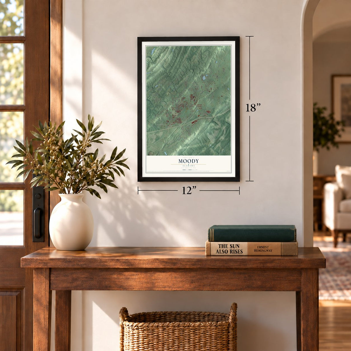
12" x 18" Archival Matte Print
A Map of Home. A Work of Art.
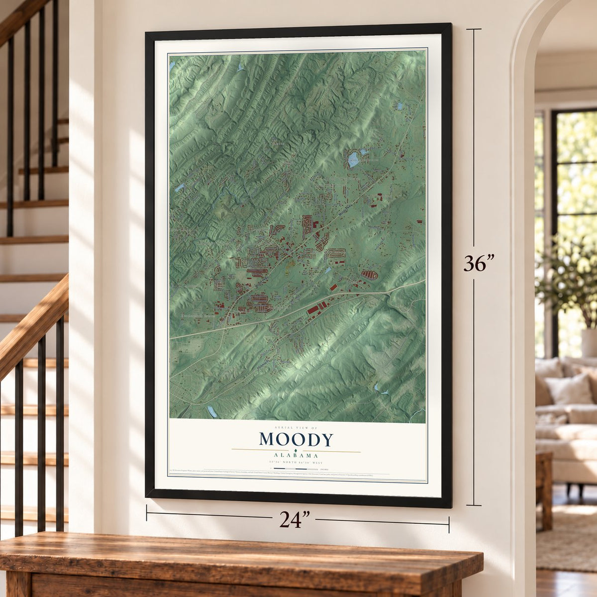
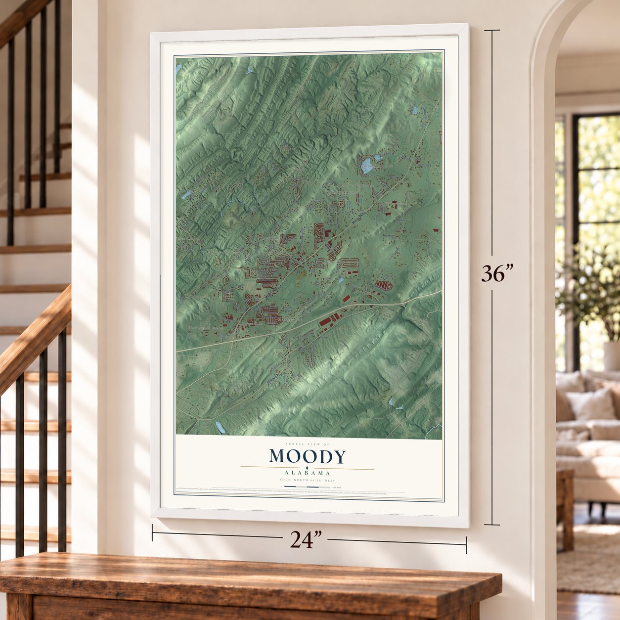
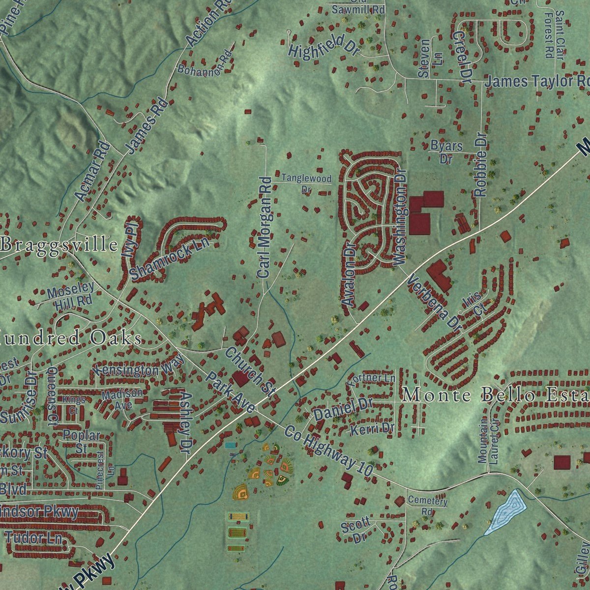
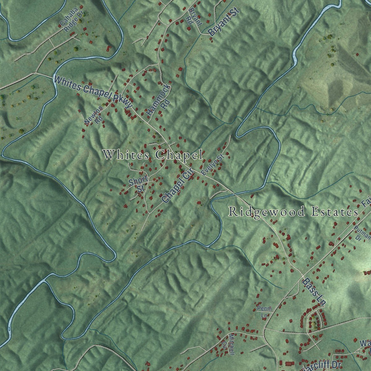
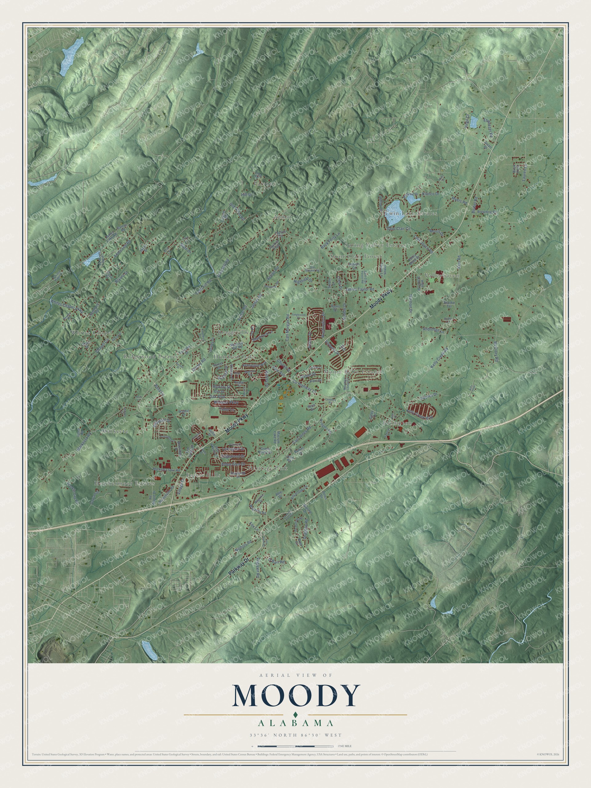
Explore Moody, Alabama from a whole new perspective. Created using aerial imagery and detailed geographic data, this map captures Moody building by building, with labeled streets, familiar landmarks, and shaded topographical relief that highlights the natural contours of the landscape.
Combining modern data with the timeless character of a vintage atlas, this map is just as interesting up close as it is beautiful on the wall. Whether you grew up in Moody, spent memorable years there, or call it home today, this unique map is a great way to celebrate a place that means something to you. Zoom in on the preview to look for your street, and then order a print to put your memories on the wall.
Three ways to hang it
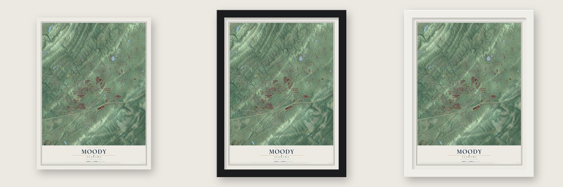
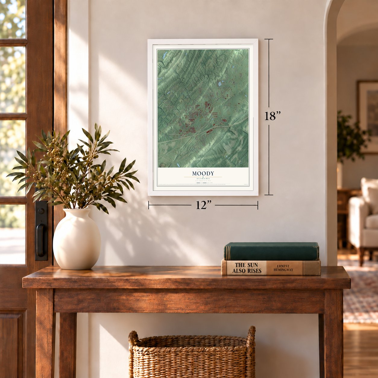
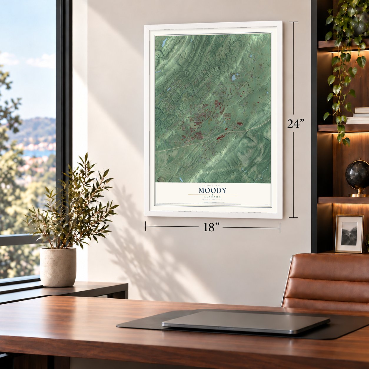
Unframed archival matte, a black wood frame or a white wood frame.
Up close
Geography Worth Displaying
This map was created using accurate cartographic data and authoritative geographic sources, including the U.S. Geological Survey and the Census Bureau. The map brings together terrain, waterways, roads, and building detail. The majority of the streets are labeled, houses are accurately depicted, and the topography is derived from government sources. Combining local data with carefully composed color and shading leads to this beautifully detailed Moody artwork for your wall.
Rather than simply showing street outlines, we’ve included as many of the street names as we could reasonably fit on the map while keeping their names legible. Zoom in on the high resolution preview to see exactly what’s on the map. We truly set out to create a statement piece for anyone who loves Moody. So whether it’s for you, or a gift for someone you love, we hope this map of Moody brings back fond memories.

About Moody, Alabama
Moody is a city of 13,170 people in St. Clair County, about 22 miles east of Birmingham. Epps Moody came here from North Carolina and built the first house in 1820, and friends from his old home state soon followed him to Alabama. Their settlement sat where two roads crossed, so it was first known as Moody's Crossroads.
After the Civil War a gristmill and several stores opened, and the town grew quickly. Its first school went up in 1879 and taught about 50 students. Moody was incorporated as a city in 1962, and it has grown a great deal since then as people working in Birmingham have settled here.
- Union sympathies in wartimeNone of the families around Moody owned enslaved people, and during the Civil War most residents sided with the Union. Several local men were forced into Confederate service by the draft. At least one of them deserted and went on to serve in the U.S. Army.
- Oktoberfest each OctoberEvery year on the last Saturday of October, Moody throws an Oktoberfest. Vendors sell food, performers play live, people compete in a costume contest, and artists and crafters set up booths.
- Fields for every playerMoody's parks have two pavilions, a walking track, tennis courts, basketball courts in the open air and eleven fields for sports. One of those fields was built especially for children and adults with disabilities.
Find your street
Names on the Moody map
Every name below is printed on this map. Look for your street, your school, the park where you played, or the pond down the road.
Places and landmarks16
- Acmar
- Braggsville
- Brompton
- Forest Hills
- Heathermoor Estates
- Heritage Park
- Hundred Oaks
- Markeeta
- Monte Bello Estates
- Parsons
- Ridgewood Estates
- Saint Clair Forest
Show all 16 places
- Spring Valley Estates
- Twin Lake Estates
- Valleyhaven
- Whites Chapel
Streets and roads155
- Moody Parkway
- Parkway Drive
- Bass Lane
- County Highway 10
- Park Avenue
- Whites Chapel Parkway
- Kelly Creek Road
- Carl Jones Road
- Annie Lee Road
- Acmar Road
- Action Road
- James Taylor Road
- Markeeta Road
- Pine Hill Road
- Kerr Road
- Lake Joyce Road
- Windsor Parkway
- Washington Drive
- Myers Road
- Carl Morgan Road
- Oak Boulevard
- Chapel Circle
- Sunrise Drive
- Nichols Road
- McCrory Road
- Bethel Road
- Harmon Drive
- O'Barr Road
- Old Acton Road
- Kelly Creek Way
Show all 155 streets
- Verbena Drive
- Alldredge Lane
- Edgewood Drive
- Robbie Drive
- Daniel Drive
- Avalon Drive
- Highfield Drive
- Saint Clair Circle
- Kinnco Drive
- Village Drive
- Pilgreen Road
- Dragline Road
- Haynes Drive
- Lexington Drive
- Alden Glen Drive
- Church Street
- Bryant Street
- Briarcliff Drive
- James Road
- Hickory Street
- Land Fill Road
- Shamrock Lane
- Back Forty Lane
- Ebenezer Road
- Morris Drive
- Slate Drive
- Ivy Place
- Creel Drive
- Hill Street
- Ashley Drive
- Virgil Court
- Lauren Lane
- Tudor Lane
- Shirley Road
- Fox Lane
- High School Drive
- Markeeta Spur Road
- Valley Bend Drive
- Magnolia Road
- Fairview Drive
- Isbell Road
- James Lake Road
- Macrum Lake Road
- James Taylor Lane
- Browning Road
- Franklin Gap Road
- Royal Oaks Drive
- Green Valley Drive
- Walnut Drive
- Forest Drive
- Hammock Road
- Joey Adkins Drive
- Rodgers Road
- Colgate Road
- Kensington Way
- Rosewalk Drive
- Old Ashville Road
- Loop Road
- Queens Court
- Blueridge Drive
- Able Drive
- Barker Drive
- Ae Moore Drive
- Shirley Drive
- Moseley Hill Road
- Taylors Trail
- Taylors Circle
- Tom Jones Drive
- Melanie Drive
- Hilltop Terrace
- Dawson Street
- Jean Road
- Malone Drive
- Elm Street
- Byars Drive
- Short Street
- Stuart Drive
- Kerri Drive
- Gilley Drive
- Garner Road
- Iris Court
- Steven Lane
- Poplar Street
- Brooke Terrace
- Deblyn Circle
- Sollie Drive
- Jason Street
- Scott Drive
- Brian Knoll
- Jones Drive
- Eric Lane
- Brett Circle
- Saint Clair Forest Road
- Mountain Laurel Circle
- Bryant Road
- Cahaba Springs Road
- Old Hannah Road
- Bohannon Road
- Magnolia Drive
- Fortner Lane
- Newton Road
- Old Sawmill Road
- Evelyn Street
- Madison Avenue
- Cahaba Ridge Drive
- Bridle Lane
- Lee Green Road
- Plantation Circle
- Canterbury Drive
- Belmont Drive
- Honeysuckle Lane
- Tanglewood Drive
- Katheryn Street
- Coleman Crossing
- Rice Drive
- Kelly Creek
- Myers Lane
- Pinecrest Lane
- Camp Lane
- Cemetery Road
- Putman Drive
- Kings Court
- Mitchell Circle
- Penni Lane
- Nakos Drive
Names are listed as they appear on the printed map. Zoom into the product photos to find them.
The art of mapping a place
How This Map Was Made
Real places. Remarkable detail. Discover the layers that turn geographic data into a map of home.

The view from above
Aerial imagery reveals the character of the land: woodland, open fields, and the patterns of a place.

The shape of the land
Elevation data brings hills, valleys, and subtle changes in the landscape into view.

The details of home
Roads, waterways, and building footprints come together to make the map feel unmistakably local.

Geography becomes art
Considered color, shading, and typography bring the layers together in a map made for your wall.


Process illustrated with Mendon, Massachusetts. Aerial imagery: USDA NAIP. Terrain: USGS 3D Elevation Program. Map details and finished artwork: KNOWOL.
The Details
About This Print
Choose an archival matte print, or a black or white Ayous wood frame. The archival matte print is unframed.
Select your size and finish above to see the matching product image and price.
Materials & Craftsmanship
A contemporary map with the character of a classic atlas, printed on archival matte paper. Optional frames are made from Ayous wood.
Your printed map does not include the watermark shown in the full-map preview.
Shipping & Delivery
Free shipping within the United States. Every print is made to order in the USA.
Buying a gift? Add a note in your cart and we'll include it. We never put prices in the package.
Prints ship within 2 to 3 business days. Allow 7 to 10 days total from ordering for delivery. Timing may vary during holidays or periods of high order volume.
Read our shipping policy.
Returns and damaged prints
Each print is made to order. Change-of-mind refunds are not available after production.
If your print arrives damaged, misprinted or incorrect, contact support@knowol.com within 30 days of receiving it. Include your order number, photos and a description of the issue.
Read our full refund and replacement policy. For questions about your order, email support@knowol.com.
Find your town
Looking for another city?
Find a map of home in our Alabama collection, or any town in the country.
Nearby
Maps of towns near Moody
Know someone from one of these towns? Their map makes a great gift.
 Margaret
, Alabama
From $39.99See the map
 Trussville
, Alabama
From $39.99See the map
 Leeds
Leeds, Alabama
From $39.99See the map
More maps nearby: Argo, Odenville, Dunnavant, Grayson Valley and Clay.