
Search for another town




Free U.S. delivery 7 to 10 days after you order
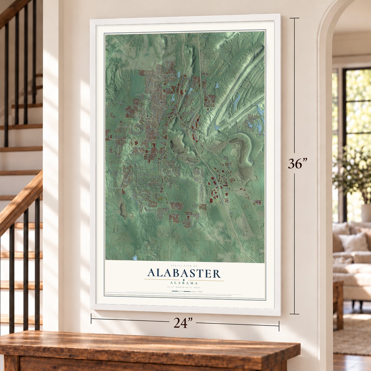
Alabaster, Alabama Map Art
A new map of Alabaster, Alabama, made in 2026 and printed to order on thick archival matte paper.
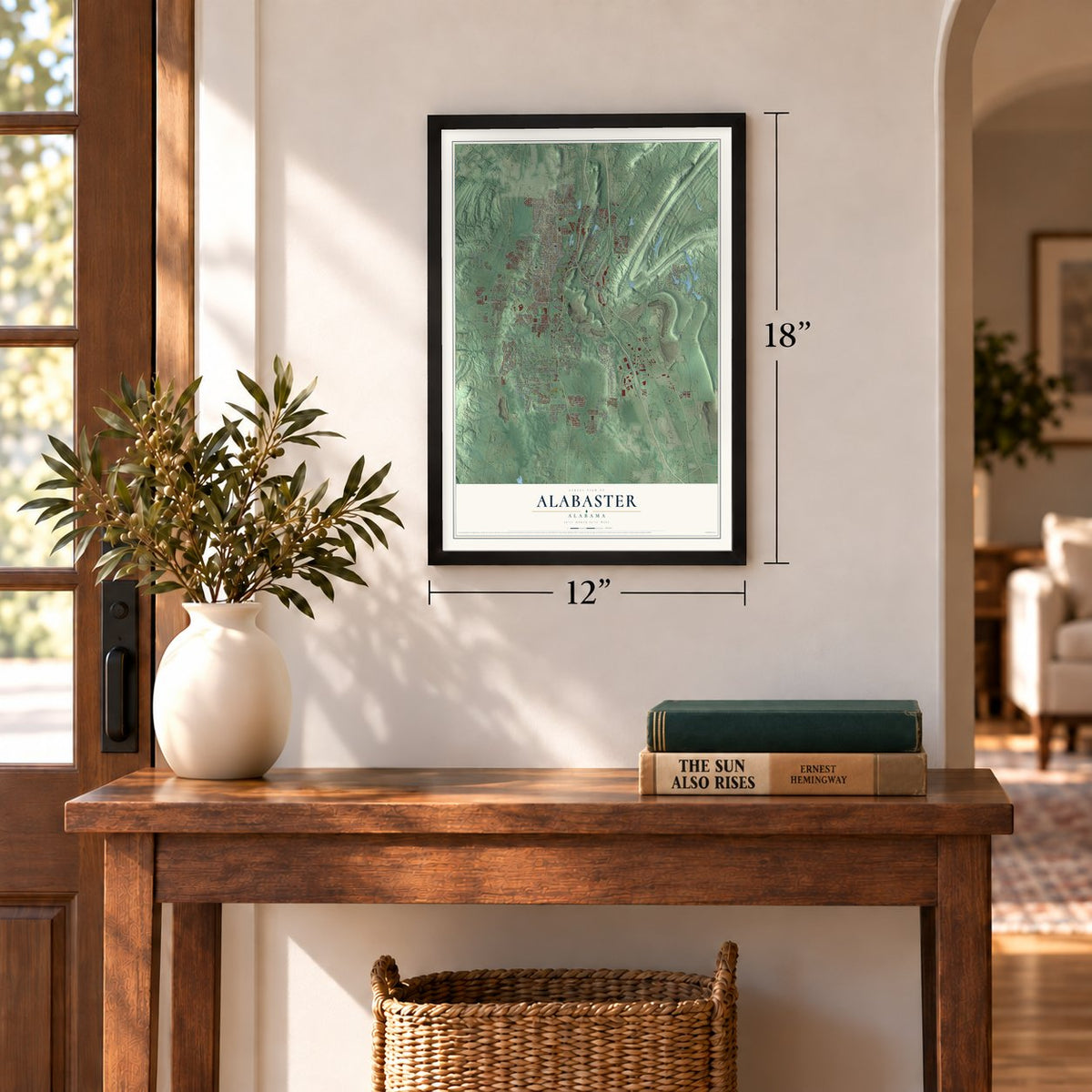
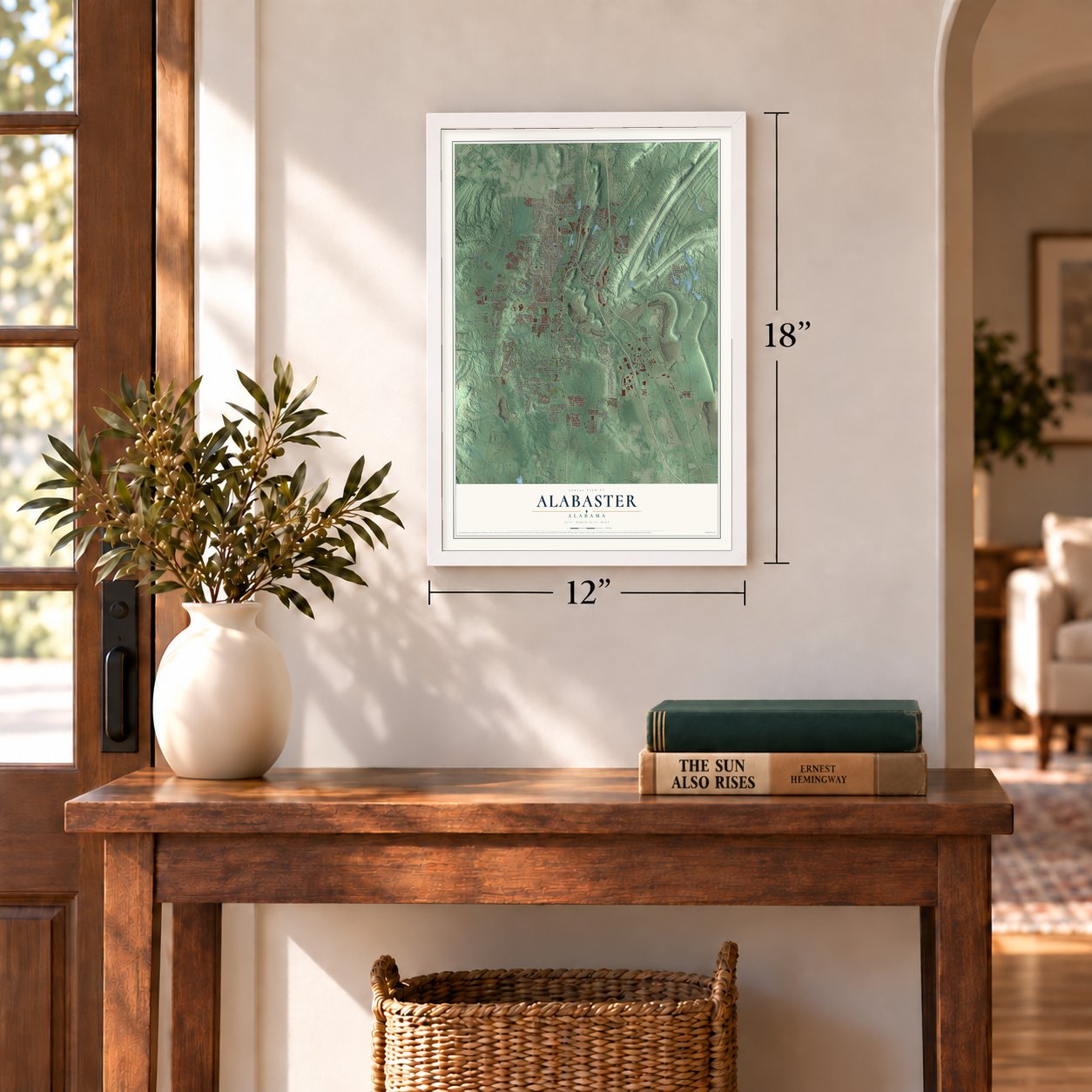
12" x 18" Archival Matte Print
A Map of Home. A Work of Art.
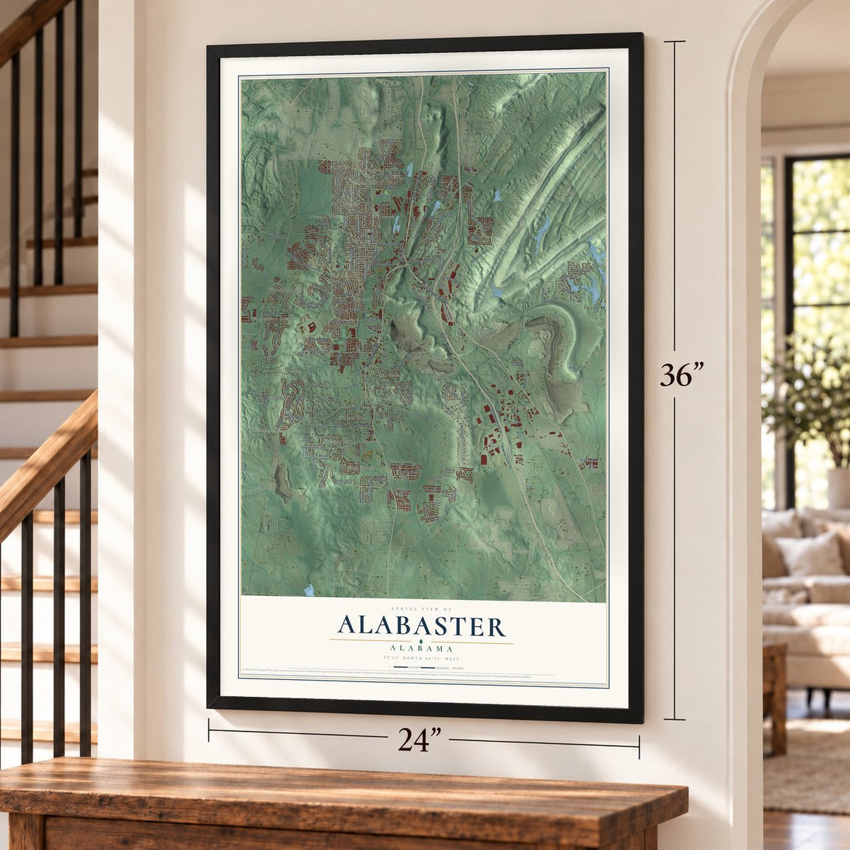
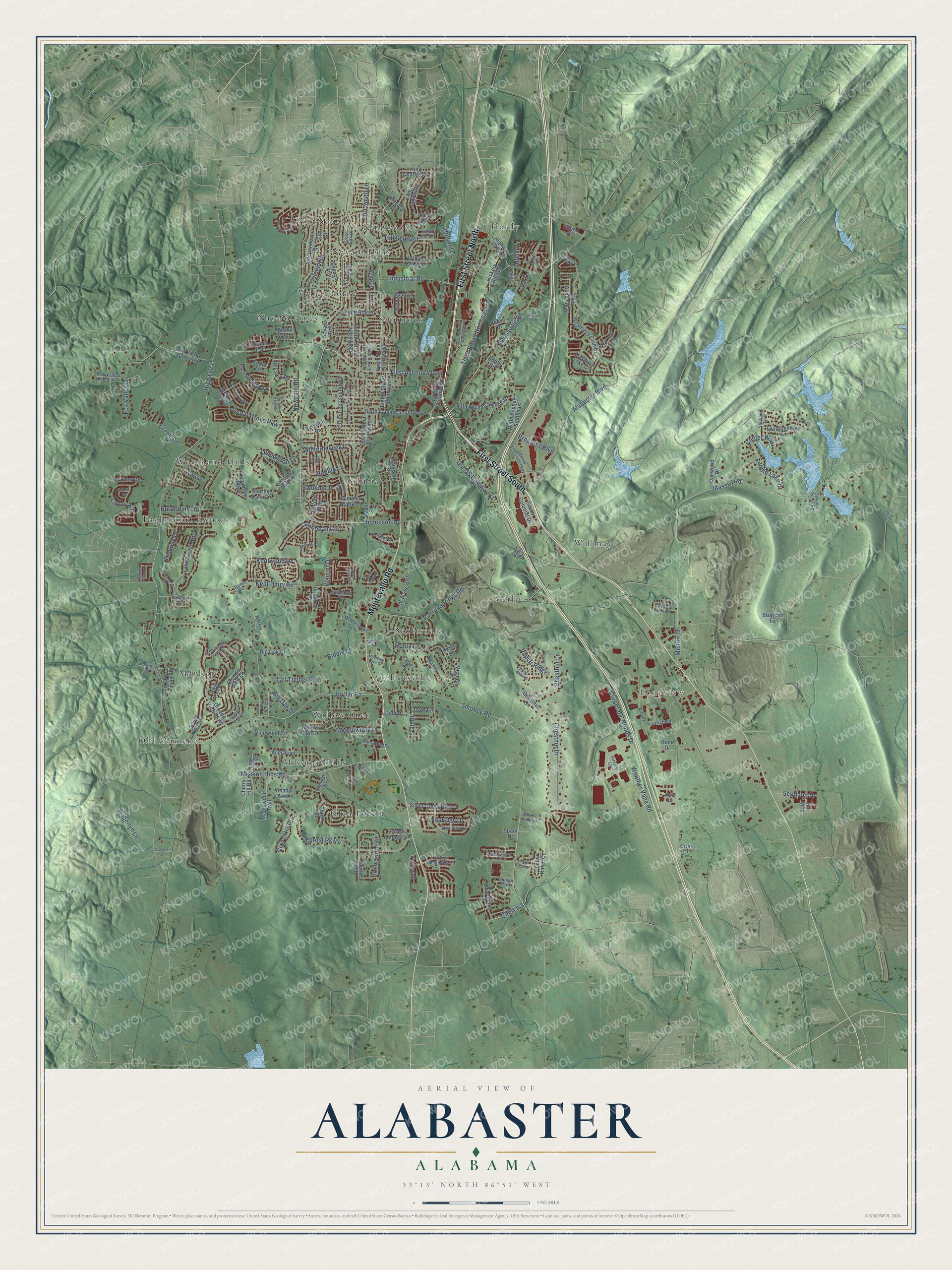
Explore Alabaster, Alabama from a whole new perspective. Created using aerial imagery and detailed geographic data, this map captures Alabaster building by building, with labeled streets, familiar landmarks, and shaded topographical relief that highlights the natural contours of the landscape.
Combining modern data with the timeless character of a vintage atlas, this map is just as interesting up close as it is beautiful on the wall. Whether you grew up in Alabaster, spent memorable years there, or call it home today, this unique map is a great way to celebrate a place that means something to you. Zoom in on the preview to look for your street, and then order a print to put your memories on the wall.
Three ways to hang it
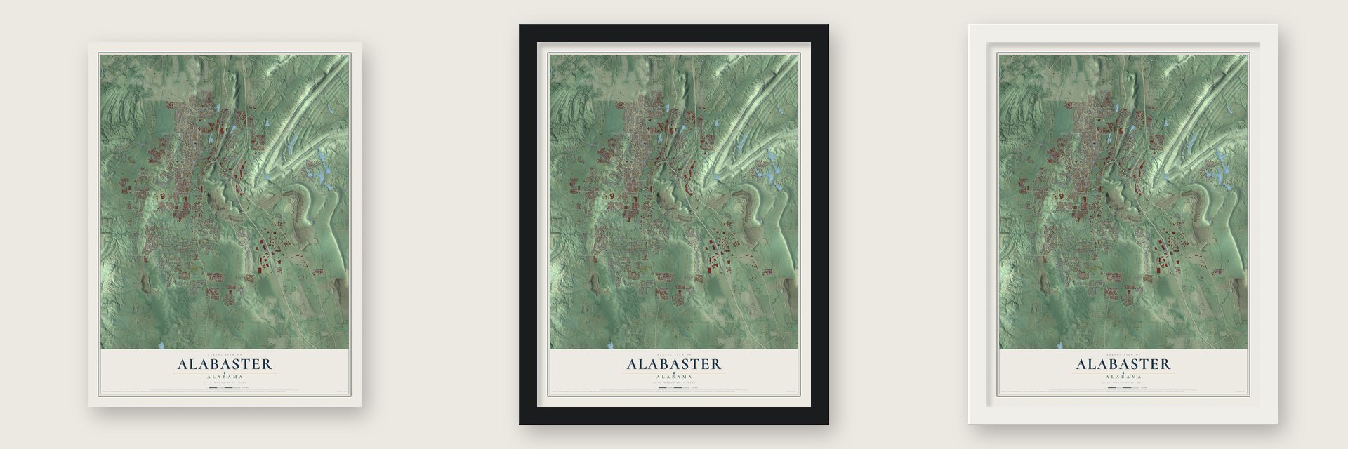
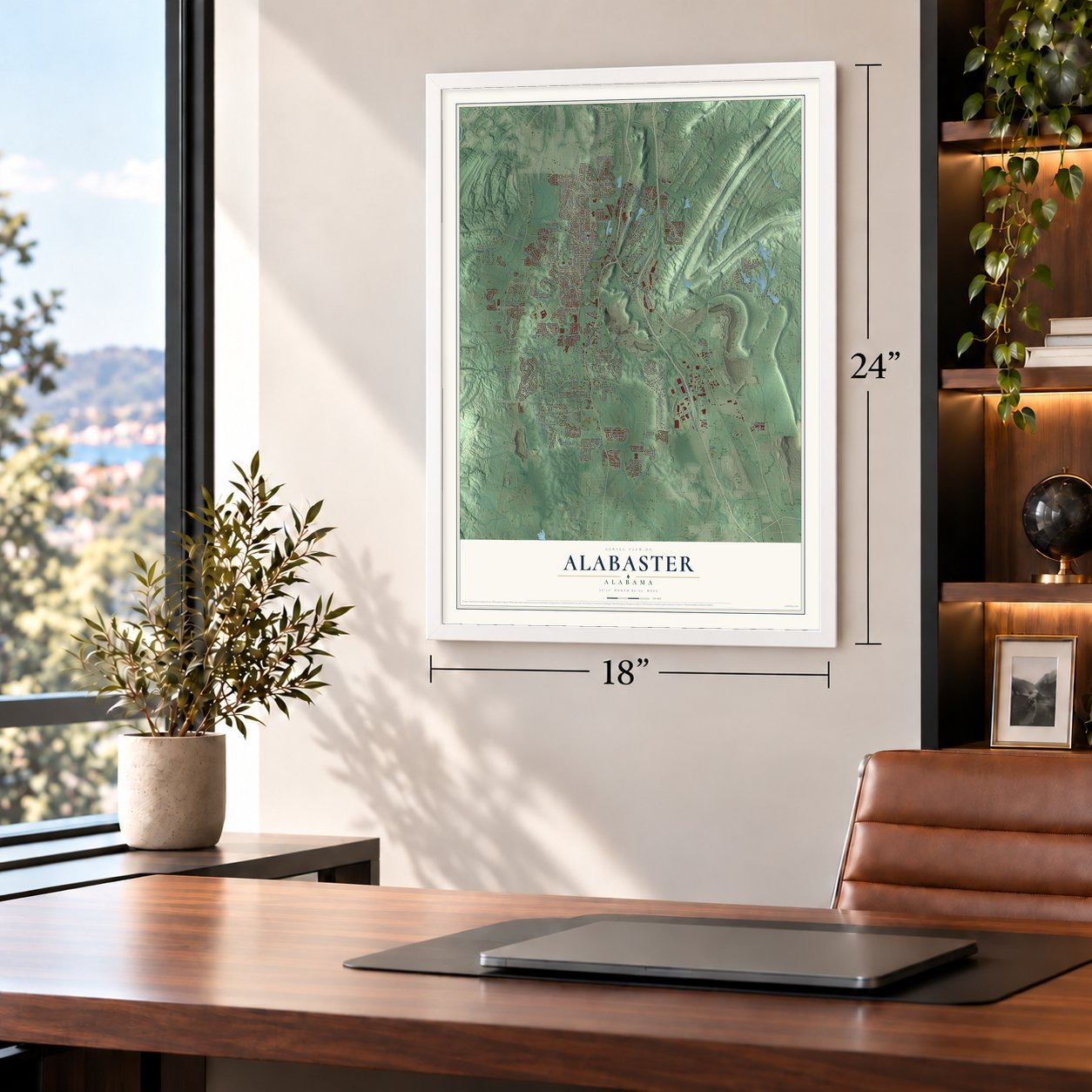
Unframed archival matte, a black wood frame or a white wood frame.
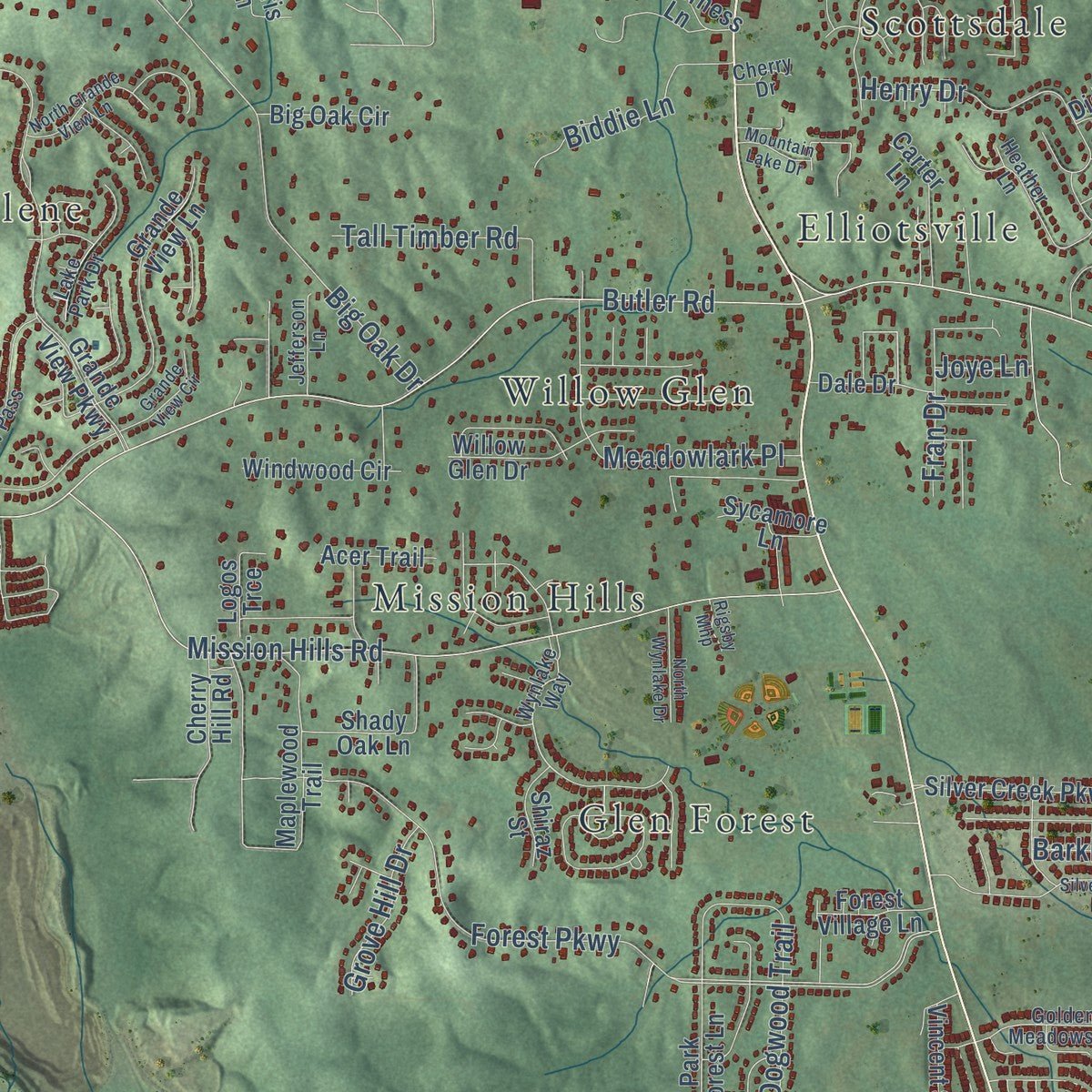
Up close
Geography Worth Displaying
This map was created using accurate cartographic data and authoritative geographic sources, including the U.S. Geological Survey and the Census Bureau. The map brings together terrain, waterways, roads, and building detail. The majority of the streets are labeled, houses are accurately depicted, and the topography is derived from government sources. Combining local data with carefully composed color and shading leads to this beautifully detailed Alabaster artwork for your wall.
Rather than simply showing street outlines, we’ve included as many of the street names as we could reasonably fit on the map while keeping their names legible. Zoom in on the high resolution preview to see exactly what’s on the map. We truly set out to create a statement piece for anyone who loves Alabaster. So whether it’s for you, or a gift for someone you love, we hope this map of Alabaster brings back fond memories.
Read the story behind this map of Alabaster, Alabama from 2026.

About Alabaster, Alabama
Alabaster is a city of 33,284 people in Shelby County, a southern suburb of Birmingham. It began in the early 1920s as housing for workers of the Alabaster Lime Company, which George L. Scott Sr. owned and ran, and his shipping point was known as "Scott Rock." The new community took its name from the company and from alabaster, the mineral found with the limestone under the town.
U.S. Highway 31 ran through the settlement, and since it was then the chief route linking Birmingham and Montgomery, it helped the place grow. By 1933 the community had its own water company, the Alabaster Water Works Company, though that company was gone by 1939. A first try at incorporation failed in 1952, but residents voted 79 to 23 for it in 1953, when 427 people lived there. George L. Scott Jr., president of the First Bank of Alabaster, became the first mayor.
- A post office in 1951In 1950 Alabaster still got its mail through the post office in neighboring Siluria. That changed in November 1951, when Birmingham Postmaster A.H. Albright directed that an Alabaster post office open. The First Bank of Alabaster followed in 1952.
- The county's first hospitalThe young city formed the Alabaster Water and Gas Board in 1955 to supply its homes and businesses. Four years later, in 1959, Shelby Memorial Hospital opened in Alabaster, the first hospital anywhere in Shelby County.
- Siluria joins in 1971Siluria, the neighbor whose post office had once handled Alabaster's mail, incorporated as a town of its own in 1954. On April 27, 1971, its voters chose to merge with Alabaster, and the two became one city.
- A Revolutionary War pioneerPvt. David Lindsay fought with the Pennsylvania Militia in the Revolutionary War and settled in Alabama before 1820, making him one of Shelby County's pioneers. On June 19, 2017, his burial ground on Highway 17 joined the Alabama Historic Cemetery Register, and the David Lindsay Chapter of the NSDAR placed a marker there on September 9, 2018.
- Its own schools since 2013On July 1, 2013, Alabaster City Schools broke away from the Shelby County Schools system and took charge of the city's public schools, including Thompson High School.
Find your street
Names on the Alabaster map
Every name below is printed on this map. Look for your street, your school, the park where you played, or the pond down the road.
Places and landmarks20
- Longview
- Eaglewood Estates
- Elliotsville
- Glen Forest
- Hardy
- Kingwood
- Maylene
- Mission Hills
- Navajo Hills
- Navajo Pines
- Old Maylene
- Port South
Show all 20 places
- Scottrock
- Scottsdale
- Siluria
- Valley Forge
- Verlie
- Willmay
- Willow Glen
- Woodland Hills
Streets and roads199
- Montevallo Road
- First Street South
- First Street North
- Smokey Road
- Thompson Road
- Highway 17
- Simmsville Road
- First Avenue West
- Butler Road
- Forest Parkway
- Kent Dairy Road
- Mission Hills Road
- Big Oak Drive
- Corporate Woods Drive
- Fulton Springs Road
- Alabaster Boulevard
- Chestnut Drive
- Old US Highway 31
- Weather Vane Road
- Lacey Avenue
- Warrior Drive
- Kentwood Drive
- Winterhaven Drive
- Dogwood Trail
- Cedar Grove Parkway
- Meadowlark Place
- Colonial Drive
- Henry Drive
- Third Street Northeast
- Industrial Road
Show all 199 streets
- Caribbean Circle
- Holland Drive
- Pebble Lane
- Red Bay Drive
- Saddle Lake Drive
- Burnt Pine Drive
- Massey Road
- Kensington Lane
- Hill Spun Road
- Chestnut Lane
- Tall Timber Road
- Allen Drive
- Barkley Drive
- Biddie Lane
- Church Street
- Fran Drive
- Creek Road
- Port South Lane
- Roberlyn Lane
- Fox Valley Drive
- Newgate Road
- Poplar Ridge
- Scotland Drive
- Grove Hill Drive
- Canter Way
- Pebble Drive
- Progress Boulevard
- Wagon Trail
- Mellow Drive
- Joye Lane
- Sixth Avenue Southwest
- First Street Southwest
- Dale Drive
- Berryhill Drive
- Weatherly Club Drive
- Ninth Street Northwest
- Grande View Parkway
- Navajo Trail
- Fox Valley Farms Road
- Independence Drive
- Tenth Street Southwest
- Thoroughbred Lane
- Lake Forest Way
- Ninth Avenue Southeast
- Fifth Avenue Southeast
- King Charles Court
- Victoria Station
- Grande View Lane
- Sequoia Trail
- 13th Street Southwest
- Maplewood Trail
- Eighth Street Southwest
- Jasmine Drive
- Kent Stone Boulevard
- Silverstone Lane
- Highway 68 East
- Twelfth Street Northwest
- Greenfield Lane
- King James Drive
- Treymoor Lake Circle
- Silver Creek Parkway
- Wilderness Lane
- Elm Drive
- Willow Creek Place
- Michael Drive
- Norris Lane
- Falling Star Lane
- Willow Glen Drive
- Royalty Drive
- Reese Drive
- Shady Oak Lane
- Sterling Park Drive
- Primrose Drive
- Glen Abbey Way
- Parliament Parkway
- Stoney Trail
- South Colonial Drive
- Carter Lane
- Timber Ridge Circle
- Summer Brook Lane
- Windwood Circle
- Maylene Lane
- Hickory Hills Drive
- Railroad Street
- Ashford Way
- Park Forest Lane
- Big Oak Circle
- Kingsley Road
- Cohill Drive
- Vincent Street
- Oakwood Drive
- Chestnut Circle
- Mountain Parkway
- Forest Village Lane
- Briarcliff Terrace
- Acer Trail
- Sterling Park Circle
- Cherry Hill Road
- Sycamore Lane
- Crider Road
- Shiraz Street
- Logos Trce
- Wixford Trce
- Gilbert Drive
- Lake Terrace
- Lake Lane
- Apache Way
- Cedar Lane
- Kilt Way
- Depot Street
- Diane Lane
- Reed Drive
- Crim Drive
- Spain Drive
- Pony Drive
- Wynlake Way
- Arrowhead Trail
- Airpark Industrial Road
- Tahiti Lane
- Park Place Lane
- Carriage Drive
- Grande View Pass
- Heather Lane
- Sunset Trail
- King Arthur Court
- South Forty Drive
- Golden Meadows Drive
- Magnolia Drive
- Maple Street
- Lake Park Drive
- Tanglewood Circle
- Shetland Trail
- Fox Valley Highland Drive
- Queens Gate
- Tenth Street Northwest
- Cross Path Drive
- Woodbrook Circle
- Palm Drive
- Jefferson Lane
- Sawmill Trace Road
- Rena Lane
- Airview Lane
- Sugar Hill Lane
- Cherry Drive
- Shady Road
- Piper Lane
- Colonial Promenade Parkway
- Norwick Forest Drive
- Amberley Woods Drive
- Twelfth Street Southwest
- Grande View Circle
- Windsor Court
- Second Street Northeast
- Silver Creek Lane
- North Grande View Lane
- Weatherly Club Road
- Bare Tree Drive
- Falling Waters Lane
- North Wynlake Drive
- Forest Hills Road
- Summer Hill Drive
- Round Road
- Sweetbay Drive
- Buck Creek Drive
- Timber Ridge Drive
- Mountain Lake Drive
- Smokey Ridge Lane
- Crossrail Drive
- Rigsby Mhp
Names are listed as they appear on the printed map. Zoom into the product photos to find them.
The art of mapping a place
How This Map Was Made
Real places. Remarkable detail. Discover the layers that turn geographic data into a map of home.

The view from above
Aerial imagery reveals the character of the land: woodland, open fields, and the patterns of a place.

The shape of the land
Elevation data brings hills, valleys, and subtle changes in the landscape into view.

The details of home
Roads, waterways, and building footprints come together to make the map feel unmistakably local.

Geography becomes art
Considered color, shading, and typography bring the layers together in a map made for your wall.


Process illustrated with Mendon, Massachusetts. Aerial imagery: USDA NAIP. Terrain: USGS 3D Elevation Program. Map details and finished artwork: KNOWOL.
The Details
About This Print
Choose an archival matte print, or a black or white Ayous wood frame. The archival matte print is unframed.
Select your size and finish above to see the matching product image and price.
Materials & Craftsmanship
A contemporary map with the character of a classic atlas, printed on archival matte paper. Optional frames are made from Ayous wood.
Your printed map does not include the watermark shown in the full-map preview.
Shipping & Delivery
Free shipping within the United States. Every print is made to order in the USA.
Buying a gift? Add a note in your cart and we'll include it. We never put prices in the package.
Prints ship within 2 to 3 business days. Allow 7 to 10 days total from ordering for delivery. Timing may vary during holidays or periods of high order volume.
Read our shipping policy.
Returns and damaged prints
Each print is made to order. Change-of-mind refunds are not available after production.
If your print arrives damaged, misprinted or incorrect, contact support@knowol.com within 30 days of receiving it. Include your order number, photos and a description of the issue.
Read our full refund and replacement policy. For questions about your order, email support@knowol.com.
Find your town
Looking for another city?
Find a map of home in our Alabama collection, or any town in the country.
Nearby
Maps of towns near Alabaster
Know someone from one of these towns? Their map makes a great gift.
 Brantleyville
, Alabama
From $39.99See the map
 Helena
, Alabama
From $39.99See the map
 Montevallo
, Alabama
From $39.99See the map
More maps nearby: Calera, Pea Ridge, Pelham, Wilton and Indian Springs Village.