


Search for another town





Free U.S. delivery 7 to 10 days after you order
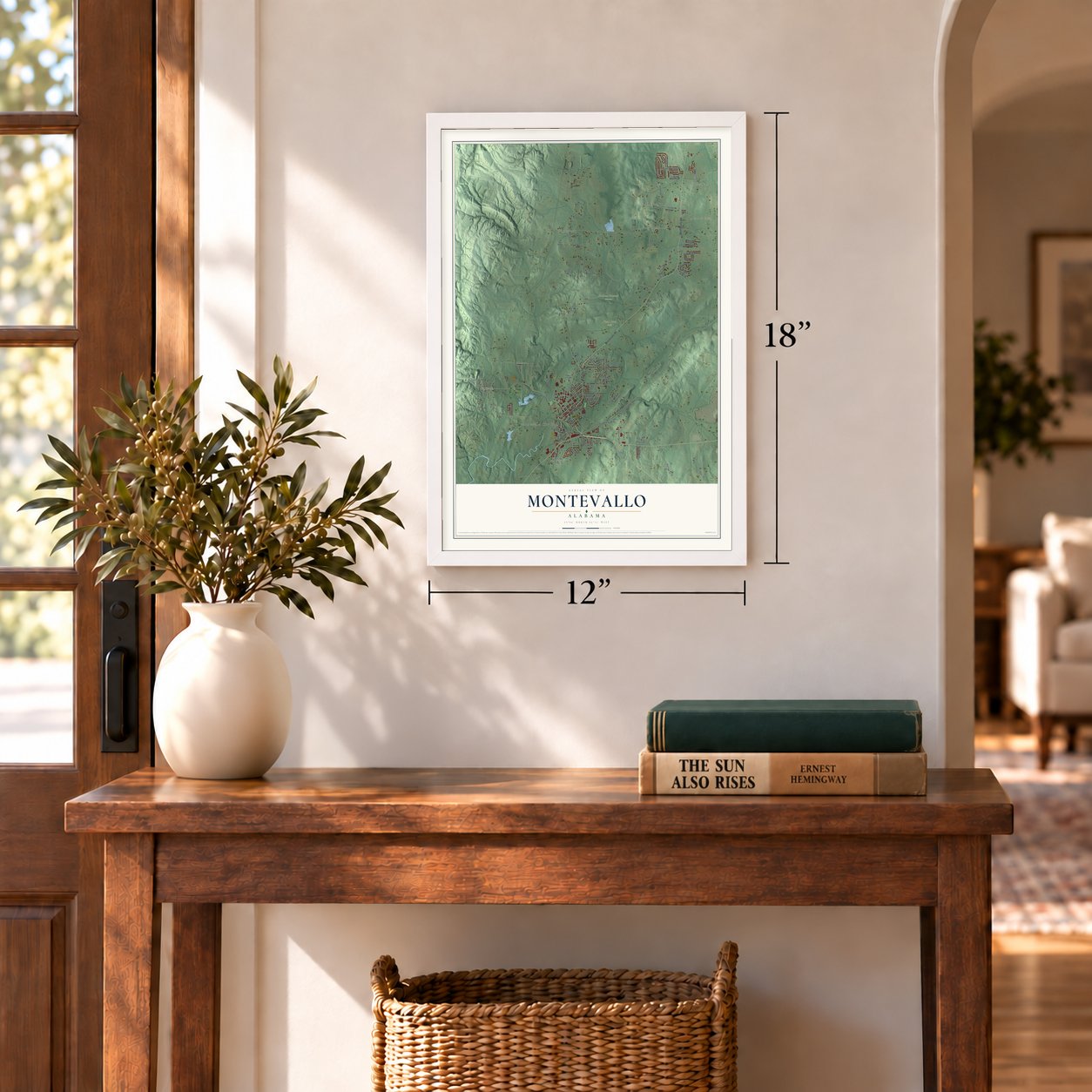
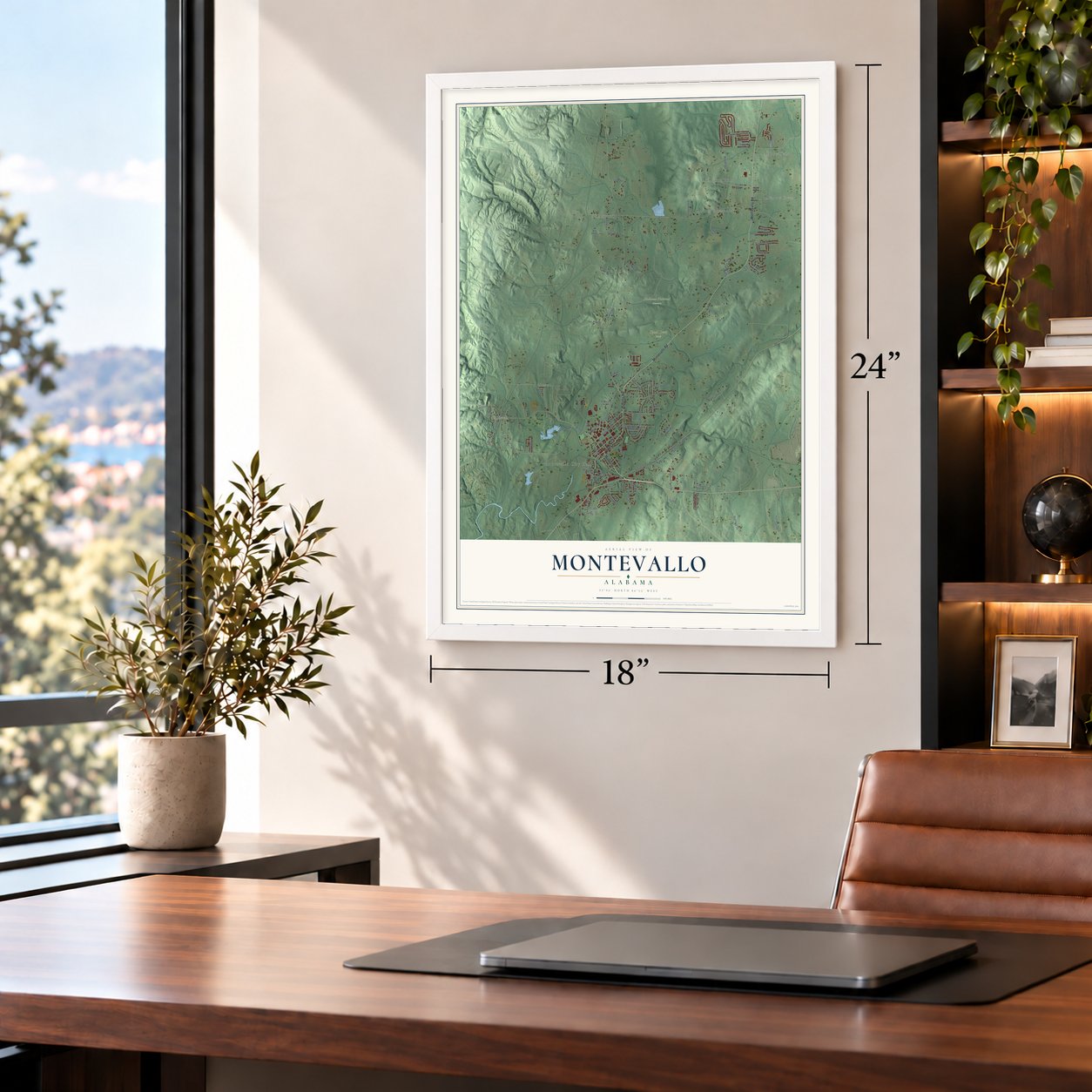
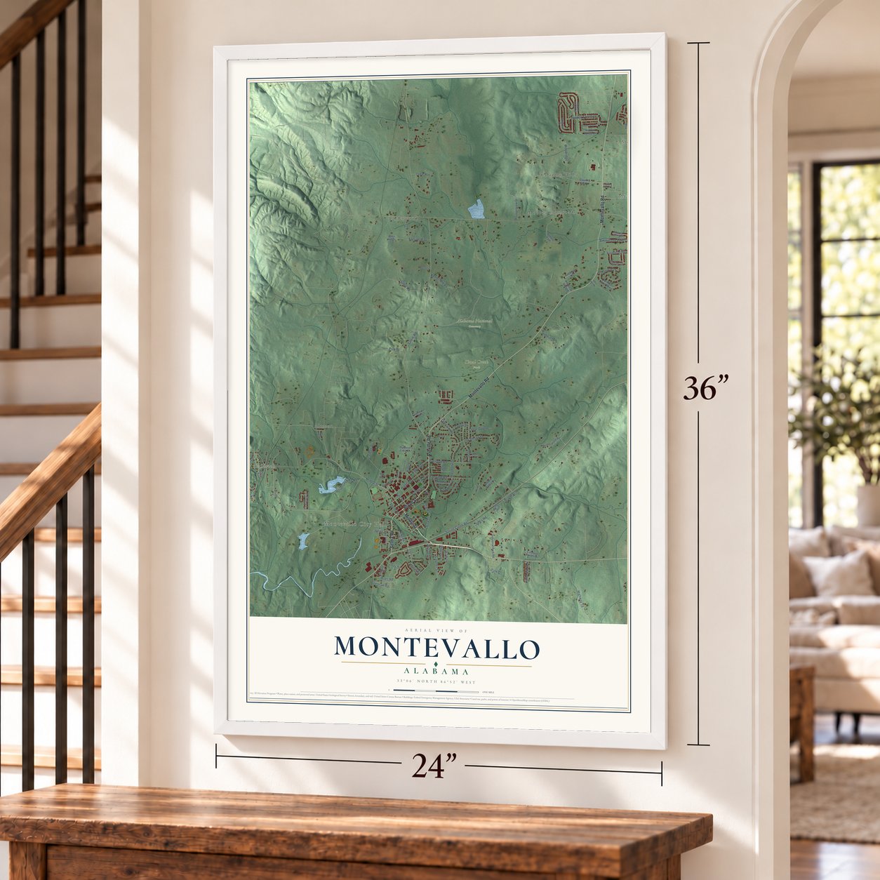
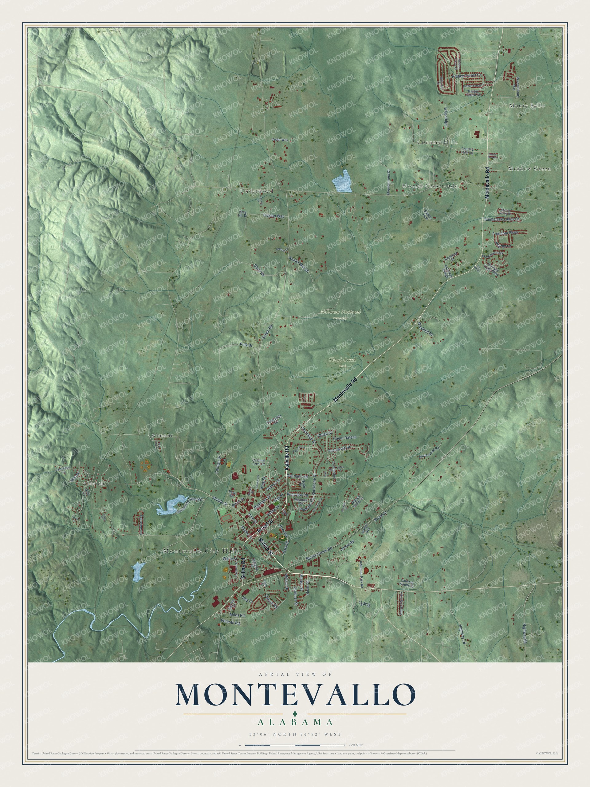
Montevallo, Alabama Map Art
Building by building, with labeled streets and shaded relief.
12" x 18" Archival Matte Print
A Map of Home. A Work of Art.
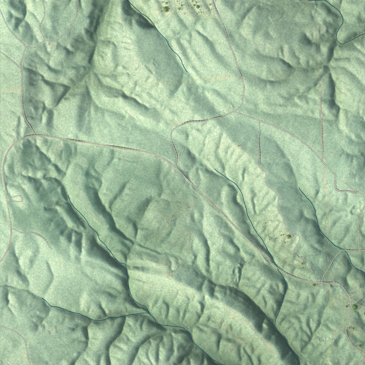
Explore Montevallo, Alabama from a whole new perspective. Created using aerial imagery and detailed geographic data, this map captures Montevallo building by building, with labeled streets, familiar landmarks, and shaded topographical relief that highlights the natural contours of the landscape.
Combining modern data with the timeless character of a vintage atlas, this map is just as interesting up close as it is beautiful on the wall. Whether you grew up in Montevallo, spent memorable years there, or call it home today, this unique map is a great way to celebrate a place that means something to you. Zoom in on the preview to look for your street, and then order a print to put your memories on the wall.
Three ways to hang it
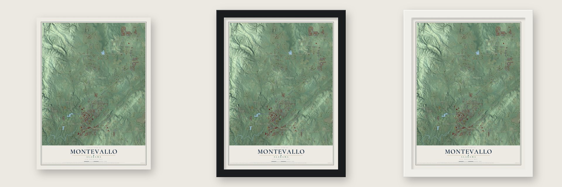
Unframed archival matte, a black wood frame or a white wood frame.
Up close
Geography Worth Displaying
This map was created using accurate cartographic data and authoritative geographic sources, including the U.S. Geological Survey and the Census Bureau. The map brings together terrain, waterways, roads, and building detail. The majority of the streets are labeled, houses are accurately depicted, and the topography is derived from government sources. Combining local data with carefully composed color and shading leads to this beautifully detailed Montevallo artwork for your wall.
Rather than simply showing street outlines, we’ve included as many of the street names as we could reasonably fit on the map while keeping their names legible. Zoom in on the high resolution preview to see exactly what’s on the map. We truly set out to create a statement piece for anyone who loves Montevallo. So whether it’s for you, or a gift for someone you love, we hope this map of Montevallo brings back fond memories.
Read the story behind this map of Montevallo, Alabama from 2026.

Find your street
Names on the Montevallo map
Every name below is printed on this map. Look for your street, your school, the park where you played, or the pond down the road.
Places and landmarks12
- Montevallo City Hall
- Alabama National Cemetery
- Shoal Creek Park
- Aldrich
- Almont
- Country Hills
- Meadow Green
- Monte Bello
- Moores Crossroads
- Underwood
- University Park
- Princeton Park
Streets and roads99
- Middle Street
- Ashville Road
- Broad Street
- Montevallo Road
- Selma Road
- Park Drive
- Glory Road
- Vine Street
- Nabors Street
- Spring Creek Road
- Salem Road
- College Drive
- Overland Road
- Shelby Street
- Valley Street
- Bloch Street
- Shoshone Drive
- King Street
- Oak Street
- Highland Street
- Hidden Forest Drive
- Pineview Road
- Tecumseh Street
- Freedom Parkway
- Highway 89
- Woodridge
- Elysian Way
- Windmill Drive
- Parkway Circle
- University Lake Road
Show all 99 streets
- Gardner Street
- Ammersee Lakes Drive
- Hicks Street
- Keeler Mill Road
- Miles Road
- Highway 19
- White Street
- Jones Road
- Coeur Dalene
- Cherokee Street
- Pilgrim Lane
- Carly Drive
- Oxford Road
- Polk Drive
- Wilson Drive
- Veteran Road
- Day Drive
- Fairview Lane
- Creek Street
- Brand Street
- Melton Street
- Park Road
- Country Hills Lane
- Scott Street
- Dauphin Street
- Redwood Drive
- Hidden Forest Cv
- Salters Path
- Comanche Street
- Hidden Valley Drive
- Hillcrest Drive
- Industrial Park Road
- Evansville Circle
- Heritage Trace Parkway
- American Village
- Wilderwood Road
- Revolutionary Way
- Mountainview Drive
- Spring Drive
- Calmont Woods Drive
- Hidden Trace Court
- Motley Avenue
- Meadow Road
- Cardinal Crest Drive
- Lawrence Lane
- Cedar Way
- Peck Road
- Shop Road
- Bice Circle
- Grey Hill Drive
- Cedar Street
- Island Street
- Crestview Drive
- Ashville Circle
- Samford Street
- Moores Spring Road
- Hidden Forest Lane
- Pasture Lane
- Farmer Street
- Caroline Drive
- Flowerhill Drive
- Fields Drive
- Davila Drive
- New Hope Drive
- Brookhill Road
- Town Lane
- Patriot Point Drive
- Alex Mill Road
- Peach Street
Names are listed as they appear on the printed map. Zoom into the product photos to find them.
About Montevallo, Alabama
Montevallo is a city of 7,229 people in Shelby County and the home of the University of Montevallo. The United States gained this land from the Creek Indians in 1814, and that year Jesse Wilson claimed a small hill near today's city cemetery and built a homestead. Relatives and friends followed him, and by the early 1820s their settlement on Shoal Creek was called Wilson's Hill. A survey in 1822 placed part of it inside land given to the state university, and the trustees laid out a town there, but their effort failed. In 1826, while the place was a candidate for the University of Alabama, it took the name Montevallo, Italian for the hill in the valley.
Farmers from around the crossroads brought their crops here to sell, and Montevallo was incorporated on March 3, 1848. A railroad to Selma opened in 1853, and a coal mine started near town in 1856. In the spring of 1865, Union general James H. Wilson's troops camped in Montevallo and fought Confederates near the depot. After the war, Truman H. Aldrich leased the mine in 1873 and raised its output for the region's iron furnaces. Miners and managers kept living and shopping in town until the mine closed in 1942.
- A college won in the 1890sIn the early 1890s, residents competed to host a new state school and raised money to buy the land and buildings of an antebellum academy. They won, and in 1896 the Alabama Girls' Industrial School opened as a vocational school for white women. It became Alabama College in 1923, admitted men in 1956 and African Americans in 1968, and became the University of Montevallo in 1969. During the Great Depression, the college helped keep the town's economy steady.
- The center of AlabamaA plaque on Reynolds Cemetery Road, just off State Route 25 on the town's east side, marks the geographic center of the state. When a new state survey was finished in 1899, the town renamed Main Street as Middle Street because of it.
- Perry Hall, built in 1834The Perry family built this antebellum house in 1834 on their 800-acre farm along Shoal Creek. The Mahler family took over the house and land in 1946, and Elizabeth "Betty" Mahler gave them to the city in 2013. The estate is now Shoal Creek Park, 167 acres of walking and biking trails around the old house.
- Tinglewood in Orr ParkIn the early 1990s, Tim Tingle, a local artist who worked as a coal miner, began carving cedar trees damaged by storms in Orr Park. Along the walking trail he turned them into a dragon, a group of gnomes and a fish swallowing a snake, and locals call the spot Tinglewood.
- The one-room Salem SchoolUntil 1927, a one-room public school that dated to the late nineteenth century stood on the spot now taken by the Memory Chapel. T. A. Bearden gave the land, and McGaughy Farms carried drinking water to it from a nearby spring. Gertrude Kirklay taught its final class of 28 children in grades one through seven. In the 1940s, Herman McGaughy took the schoolhouse apart and built its pieces into his own home.
Keep exploring Alabama
Montevallo is one of 675 Alabama towns we've mapped. Every dot on the map is a print of its own.
The search covers every state, Alabama first.
Near Montevallo
Order 2 or more town maps and save 10%. Shown in the size and finish you picked above, so they hang as a set.
- Wilton 12" x 18" / Archival Matte Print $39.99
- Pea Ridge 12" x 18" / Archival Matte Print $39.99
- Calera 12" x 18" / Archival Matte Print $39.99

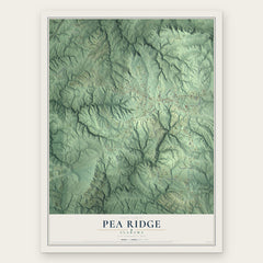

More maps nearby: Alabaster, Brantleyville, Helena, Jemison and Columbiana.
The art of mapping a place
How This Map Was Made
Real places. Remarkable detail. Discover the layers that turn geographic data into a map of home.

The view from above
Aerial imagery reveals the character of the land: woodland, open fields, and the patterns of a place.

The shape of the land
Elevation data brings hills, valleys, and subtle changes in the landscape into view.

The details of home
Roads, waterways, and building footprints come together to make the map feel unmistakably local.

Geography becomes art
Considered color, shading, and typography bring the layers together in a map made for your wall.


Process illustrated with Mendon, Massachusetts. Aerial imagery: USDA NAIP. Terrain: USGS 3D Elevation Program. Map details and finished artwork: KNOWOL.
The Details
About This Print
Choose an archival matte print, or a black or white Ayous wood frame. The archival matte print is unframed.
Select your size and finish above to see the matching product image and price.
Materials & Craftsmanship
A contemporary map with the character of a classic atlas, printed on archival matte paper. Optional frames are made from Ayous wood.
Your printed map does not include the watermark shown in the full-map preview.
Shipping & Delivery
Free shipping within the United States. Every print is made to order in the USA.
Buying a gift? Add a note in your cart and we'll include it. We never put prices in the package.
Prints ship within 2 to 3 business days. Allow 7 to 10 days total from ordering for delivery. Timing may vary during holidays or periods of high order volume.
Read our shipping policy.
Returns and damaged prints
Each print is made to order. Change-of-mind refunds are not available after production.
If your print arrives damaged, misprinted or incorrect, contact support@knowol.com within 30 days of receiving it. Include your order number, photos and a description of the issue.
Read our full refund and replacement policy. For questions about your order, email support@knowol.com.