
Search for another town



Free U.S. delivery 7 to 10 days after you order
Blue Hill, Maine Map Art
Building by building, with labeled streets and shaded relief.
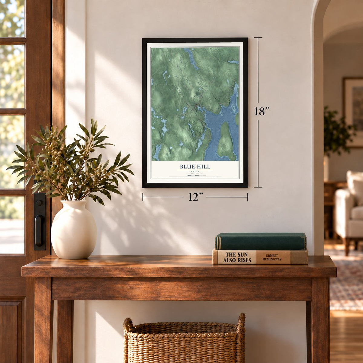
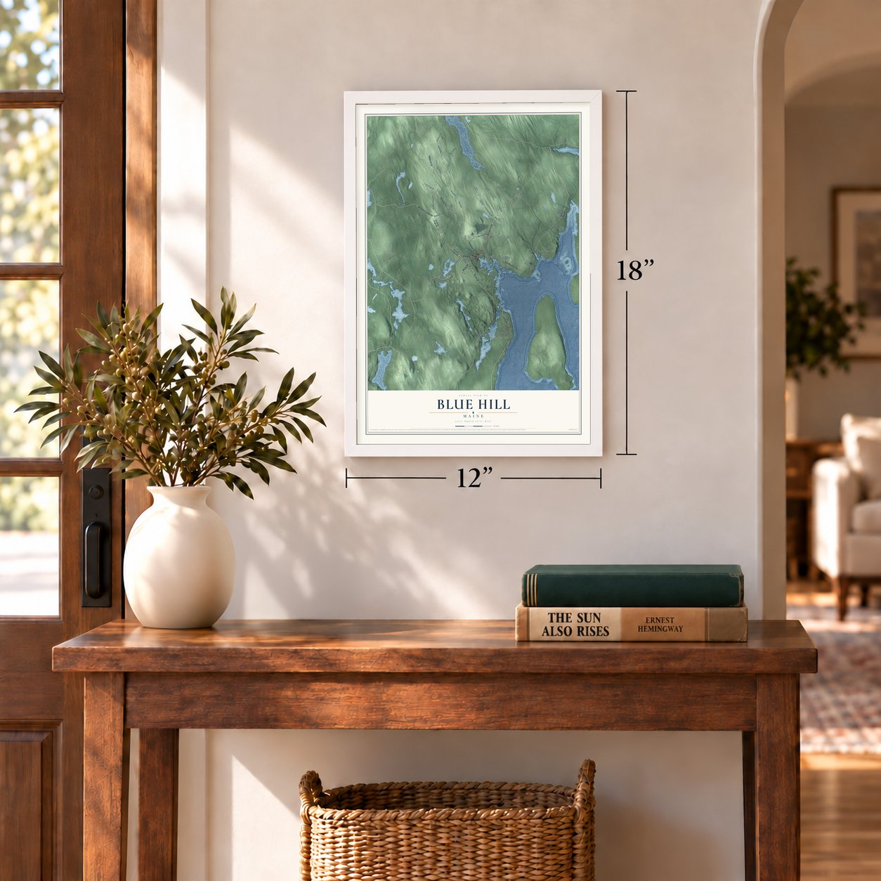
12" x 18" Archival Matte Print
A Map of Home. A Work of Art.
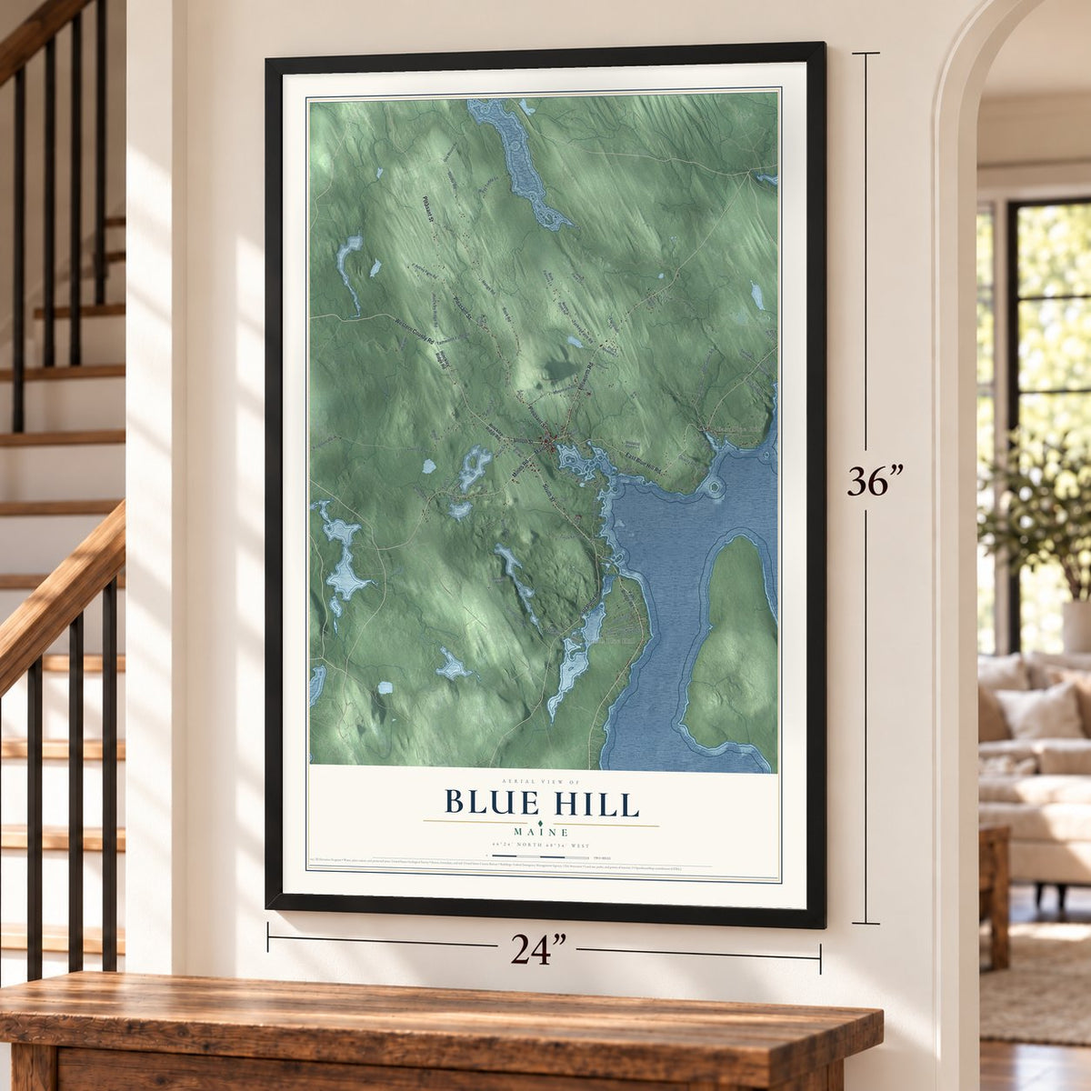
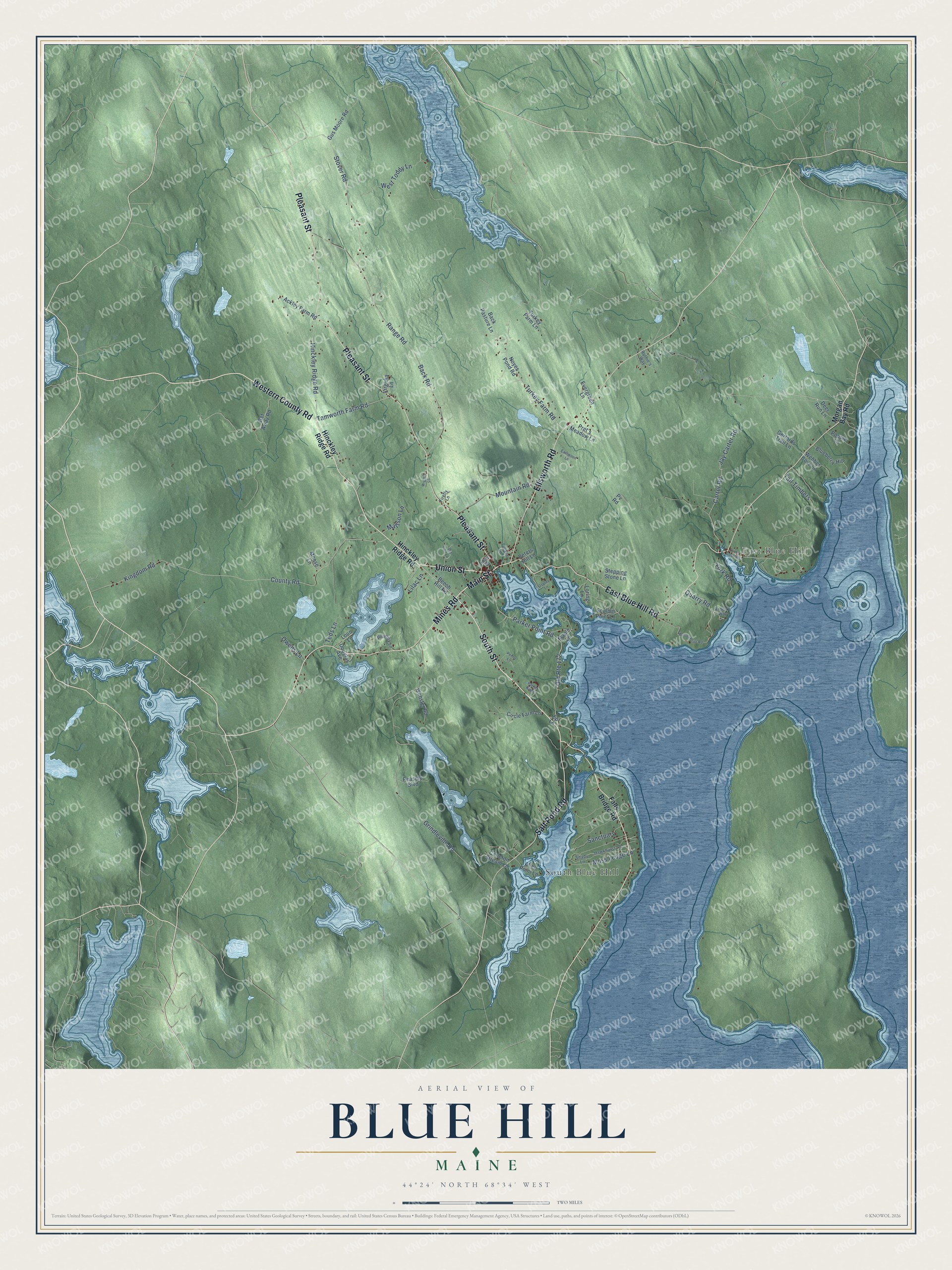
Explore Blue Hill, Maine from a whole new perspective. Created using aerial imagery and detailed geographic data, this map captures Blue Hill building by building, with labeled streets, familiar landmarks, and shaded topographical relief that highlights the natural contours of the landscape.
Combining modern data with the timeless character of a vintage atlas, this map is just as interesting up close as it is beautiful on the wall. Whether you grew up in Blue Hill, spent memorable years there, or call it home today, this unique map is a great way to celebrate a place that means something to you. Zoom in on the preview to look for your street, and then order a print to put your memories on the wall.
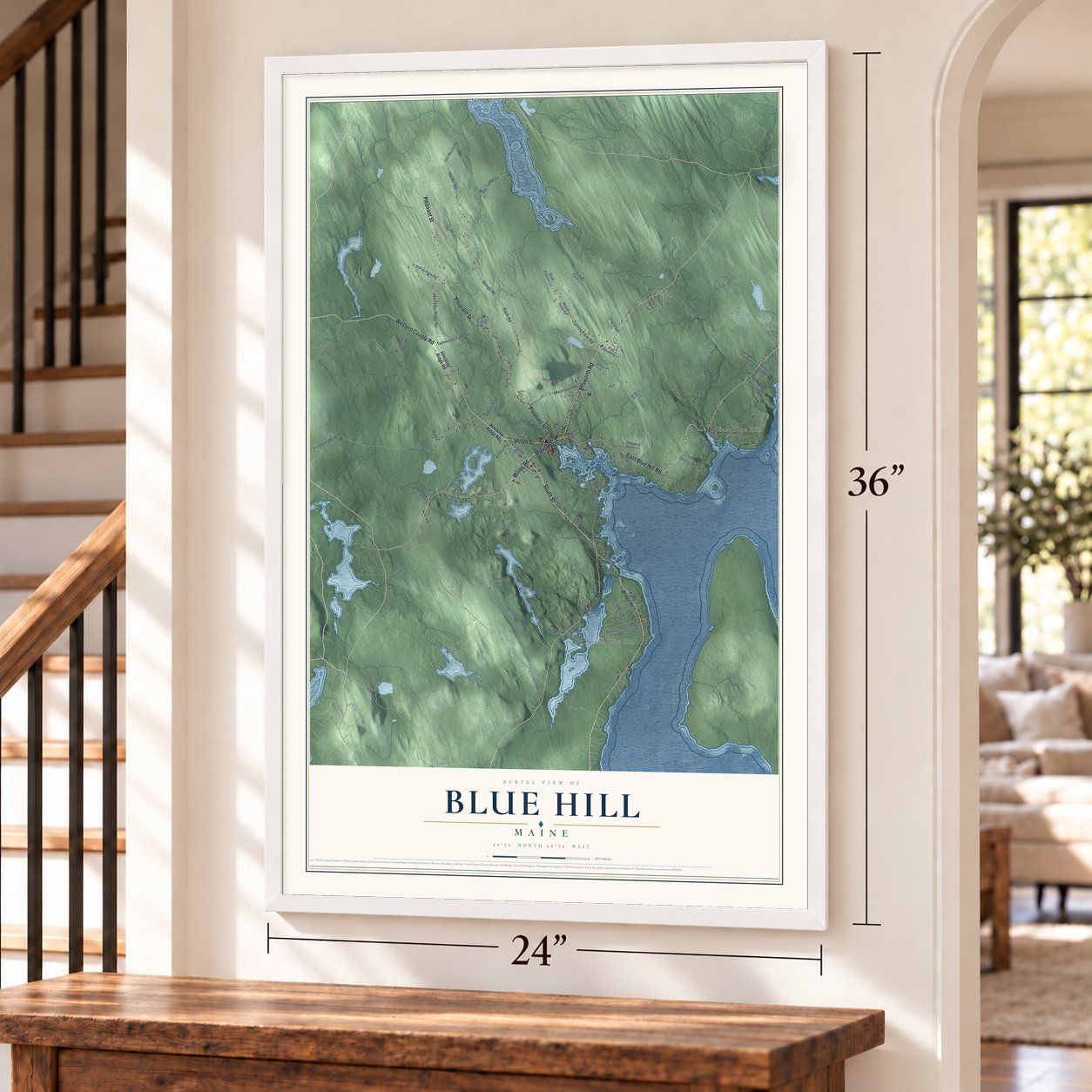
Three ways to hang it
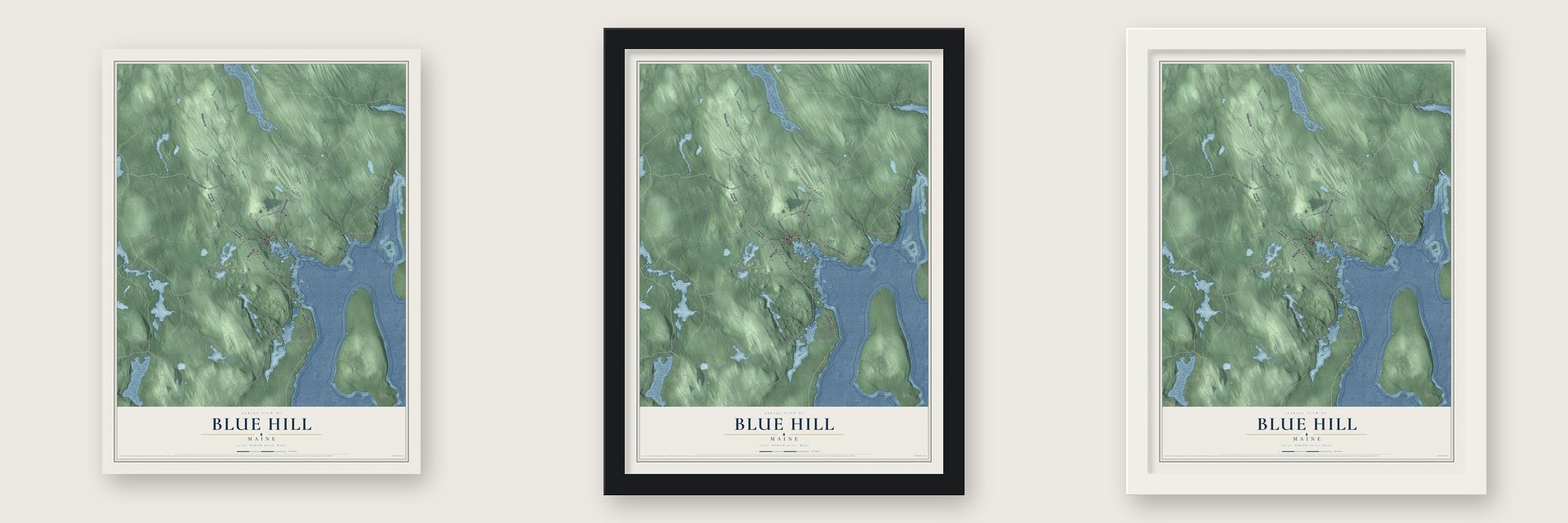
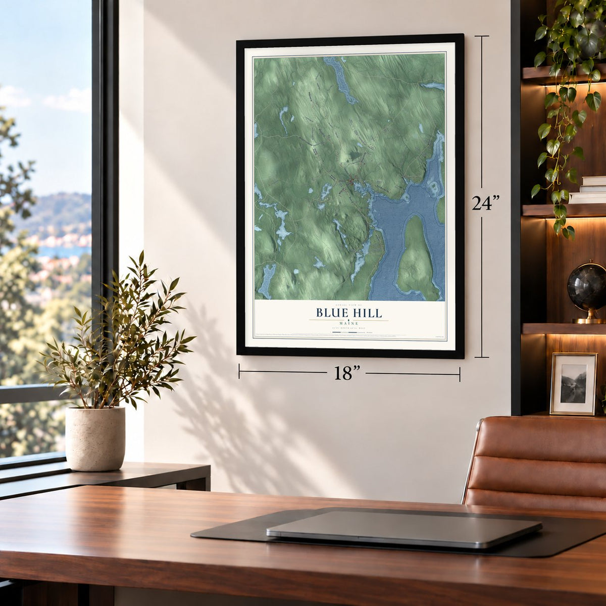
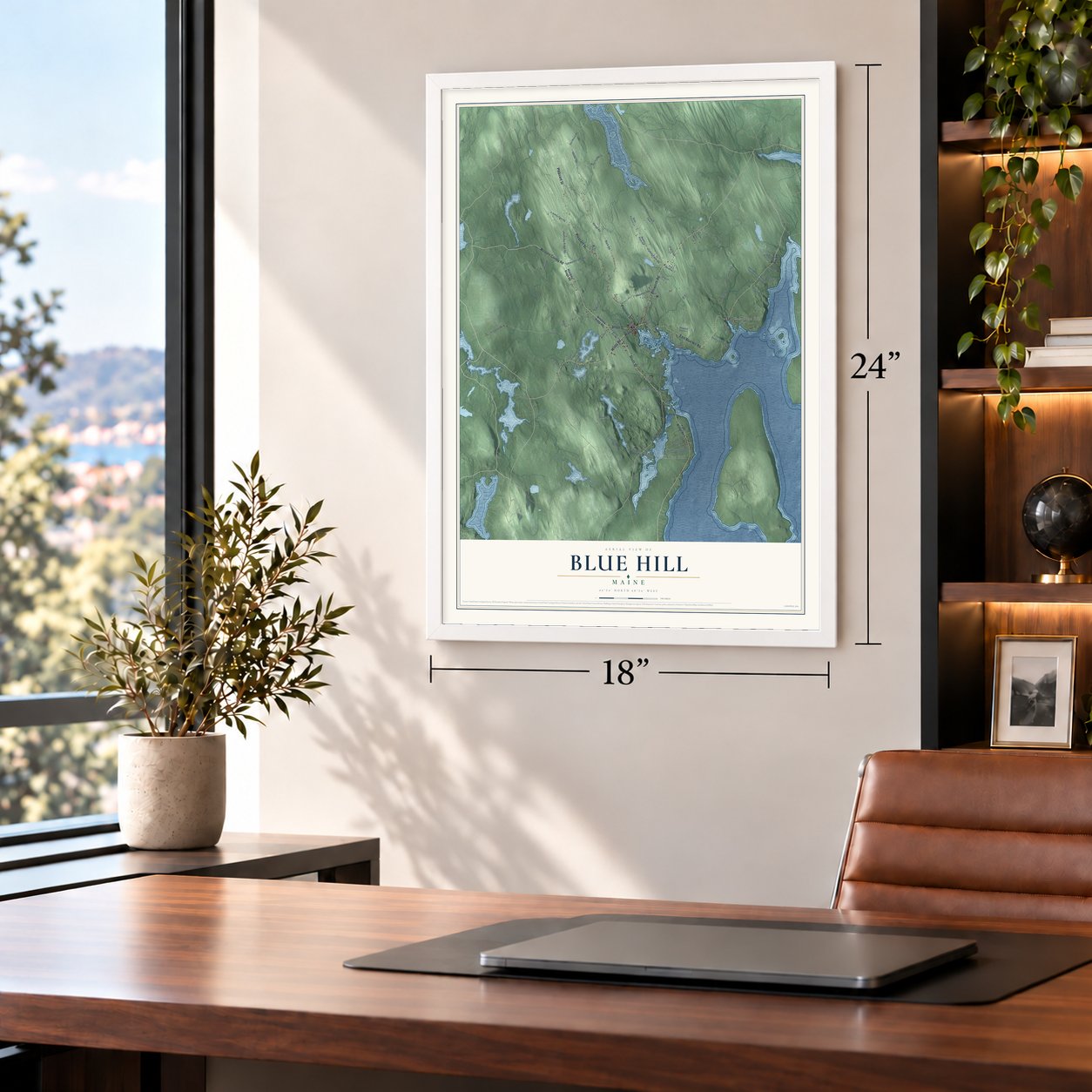
Unframed archival matte, a black wood frame or a white wood frame.
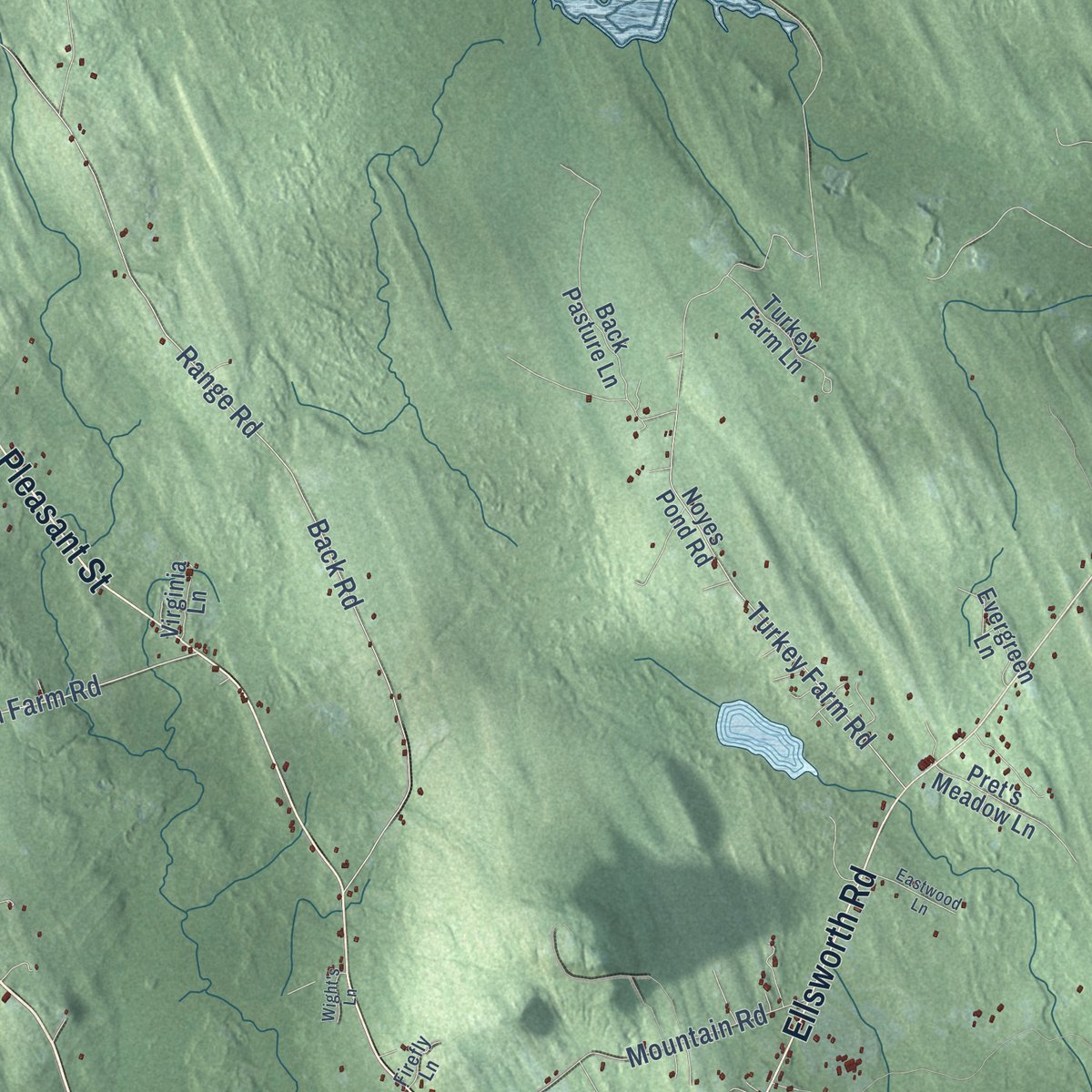
Up close
Geography Worth Displaying
This map was created using accurate cartographic data and authoritative geographic sources, including the U.S. Geological Survey (USGS) and FEMA. The map brings together terrain, waterways, roads, and building detail. The majority of the streets are labeled, houses are accurately depicted, and the topography is derived from government sources. Combining local data with carefully composed color and shading leads to this beautifully detailed Blue Hill artwork for your wall.
Rather than simply showing street outlines, we’ve included as many of the street names as we could reasonably fit on the map while keeping their names legible. Zoom in on the high resolution preview to see exactly what’s on the map. We truly set out to create a statement piece for anyone who loves Blue Hill. So whether it’s for you, or a gift for someone you love, we hope this map of Blue Hill brings back fond memories.
Explore the full map of Blue Hill, Maine and read about the local places it shows.
Find your street
Names on the Blue Hill map
Every name below is printed on this map. Look for your street, your school, the park where you played, or the pond down the road.
Places and landmarks2
- East Blue Hill
- South Blue Hill
Streets and roads81
- Western County Road
- Main Street
- Union Street
- South Street
- Pleasant Street
- East Blue Hill Road
- Ellsworth Road
- Mines Road
- Salt Pond Road
- Parker Point Road
- Tamworth Farm Road
- Kingdom Road
- Quarry Road
- County Road
- Grindleville Road
- Back Road
- Range Road
- West Toddy Lane
- Stover Road
- Carter Road
- Jay Carter Road
- Turkey Farm Road
- Hinckley Ridge Road
- Old Route 172
- Mountain Road
- Moss Ledge Lane
- York Road
- Tall Timbers
- Sanctuary
- Mattson Lane
Show all 81 streets
- Teds Lane
- Owens Lane
- Lilac Lane
- Falls Bridge Road
- Morgan Bay Road
- Beech Hill Road
- Sculpin Point Lane
- Noyes Pond Road
- Turkey Farm Lane
- Back Pasture Lane
- Circle Farm Lane
- Douglas Avenue
- Blueberry Hill
- Get Away Road
- Ackley Farm Road
- Pret's Meadow Lane
- Gus Moore Road
- Maple Lane
- Webber Cove Lane
- Stepping Stone Lane
- Webster Road
- Deer Run Lane
- Evergreen Lane
- Gertards Trail Lane
- Pv Road
- Peasely Boulevard
- Allen Point Lane
- Carleton Stream Lane
- Loring Lane
- Loon Lane
- Popple Lane
- Moose Lane
- Virginia Lane
- Peters Hill Lane
- Ep Lane
- High Street
- Hawkhurst Lane
- Shady Lane
- Phoenix Lane
- Ruthie's Way
- Arden's Way
- Tucker Lane
- Firefly Lane
- Woods Point Road
- Curtis Cove Road
- Old Cart Lane
- Eastwood Lane
- Parker Ridge
- Penny Lane
- Wight's Lane
- Osprey Lane
Names are listed as they appear on the printed map. Zoom into the product photos to find them.
About Blue Hill, Maine
Blue Hill is a town of 2,792 people in Hancock County, on Blue Hill Bay. After the French and Indian War, the Massachusetts General Court rewarded David Marsh and 351 others with six townships, and this one was known as Plantation Number 5. Captain Joseph Wood and John Roundy came from Andover, Massachusetts, in 1762 and built the first homes on Mill Island, beside the tidal falls. The settlement later took the name Newport Plantation. It became the town of Blue Hill on January 30, 1789, named for the 940-foot summit that rises over the town.
Water flowing out of the ponds ran sawmills and gristmills, and by 1859 the harbor sent away 5,000 cords of firewood each year, along with lumber, masts and shingles. Shipbuilding mattered more: from 1792 on, local yards launched 133 vessels, most of them schooners. Blue Hill granite went into the Brooklyn Bridge, the U.S. Custom House at Norfolk, Virginia, and the New York Stock Exchange Building, and in 1876 the quarries kept 300 workers busy.
- First settled minister, 1796The Reverend Jonathan Fisher arrived in 1796 as Blue Hill's first settled minister. In 1814 he built a house on Mines Road, which is now a museum in his memory. He kept a journal of daily life in rural Maine and made his own woodcuts for his book Scriptural Animals. Mary Ellen Chase, a native of the town who was born in 1887, later wrote his biography.
- Kneisel Hall since 1922The violinist Franz Kneisel began bringing his students to his Blue Hill summer home in 1902.
- Barncastle on South StreetEffie Hinckley Ober, who founded the Boston Ideal Opera Company, saw Barncastle finished on South Street in 1884. Her childhood friend George A. Clough drew the plans. It was one of Blue Hill's first and biggest summer cottages, and today it serves as an inn and restaurant.
- George Clough's town hallClough went on to design Blue Hill's town hall in 1895. In 1900 he remodeled the Parker House, which Robert Parker and his wife, Ruth, had built about 1816. Ruth's father, Joseph Wood, had helped found the town.
- Hancock County's first schoolBlue Hill Academy, which opened in 1803, was the first school anywhere in Hancock County. It grew into George Stevens Academy, whose main building dates from 1898, and the town still pays the academy to teach its high school students. The First Congregational Church, formed in 1772, was the earliest Congregational church east of Penobscot Bay, and a Greek Revival Congregational church built in 1834 stands in the village.
Keep exploring Maine
Blue Hill is one of 536 Maine towns we've mapped. Every dot on the map is a print of its own.
The search covers every state, Maine first.
Near Blue Hill
Order 2 or more town maps and save 10%. Shown in the size and finish you picked above, so they hang as a set.
- Sedgwick 12" x 18" / Archival Matte Print $39.99
- Surry 12" x 18" / Archival Matte Print $39.99
- Penobscot 12" x 18" / Archival Matte Print $39.99


More maps nearby: Brooksville, Trenton, Brooklin, Tremont and Castine.
The art of mapping a place
How This Map Was Made
Real places. Remarkable detail. Discover the layers that turn geographic data into a map of home.

The view from above
Aerial imagery reveals the character of the land: woodland, open fields, and the patterns of a place.

The shape of the land
Elevation data brings hills, valleys, and subtle changes in the landscape into view.

The details of home
Roads, waterways, and building footprints come together to make the map feel unmistakably local.

Geography becomes art
Considered color, shading, and typography bring the layers together in a map made for your wall.


Process illustrated with Mendon, Massachusetts. Aerial imagery: USDA NAIP. Terrain: USGS 3D Elevation Program. Map details and finished artwork: KNOWOL.
The Details
About This Print
Choose an archival matte print, or a black or white Ayous wood frame. The archival matte print is unframed.
Select your size and finish above to see the matching product image and price.
Materials & Craftsmanship
A contemporary map with the character of a classic atlas, printed on archival matte paper. Optional frames are made from Ayous wood.
Your printed map does not include the watermark shown in the full-map preview.
Shipping & Delivery
Free shipping within the United States. Every print is made to order in the USA.
Buying a gift? Add a note in your cart and we'll include it. We never put prices in the package.
Prints ship within 2 to 3 business days. Allow 7 to 10 days total from ordering for delivery. Timing may vary during holidays or periods of high order volume.
Read our shipping policy.
Returns and damaged prints
Each print is made to order. Change-of-mind refunds are not available after production.
If your print arrives damaged, misprinted or incorrect, contact support@knowol.com within 30 days of receiving it. Include your order number, photos and a description of the issue.
Read our full refund and replacement policy. For questions about your order, email support@knowol.com.