
Search for another town

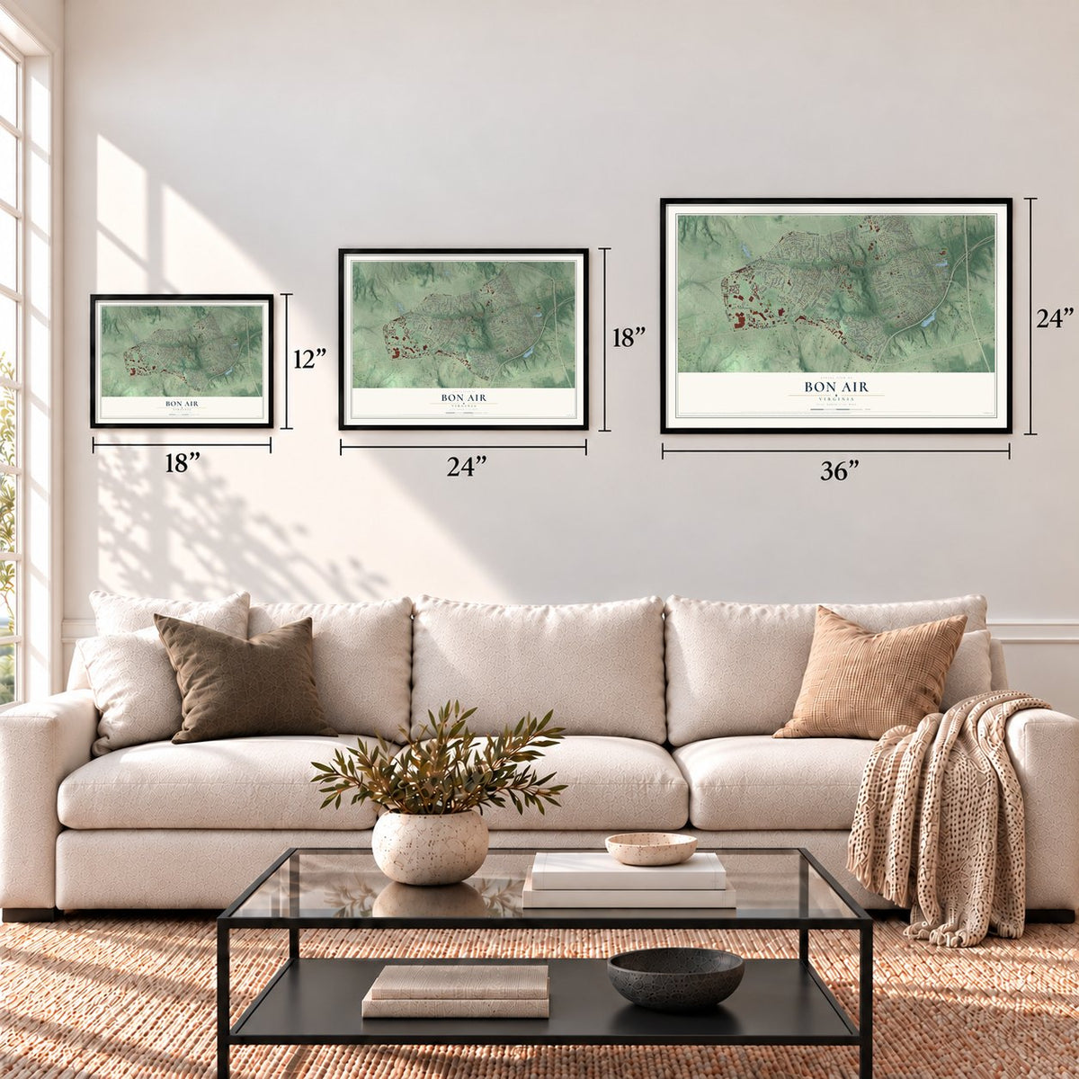

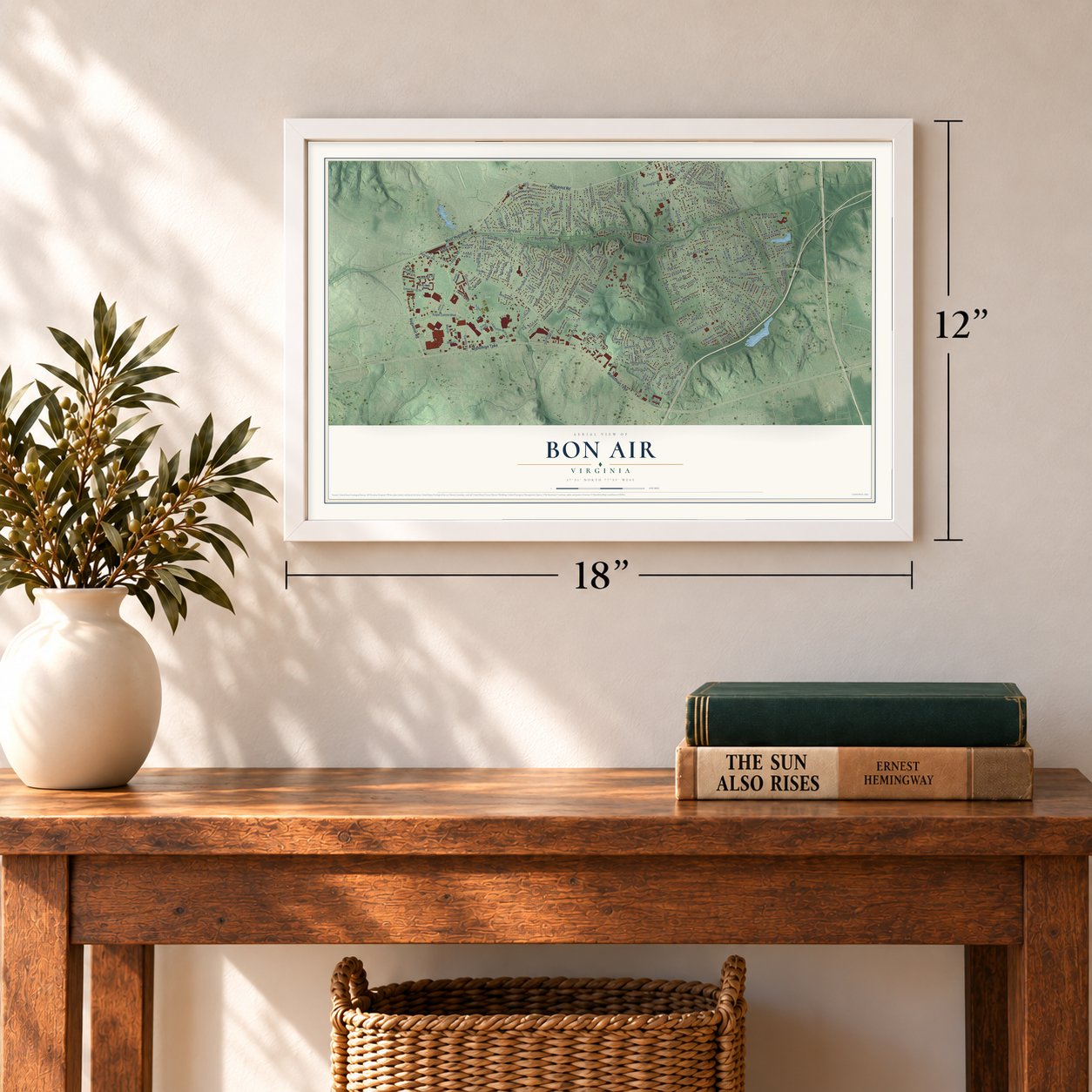

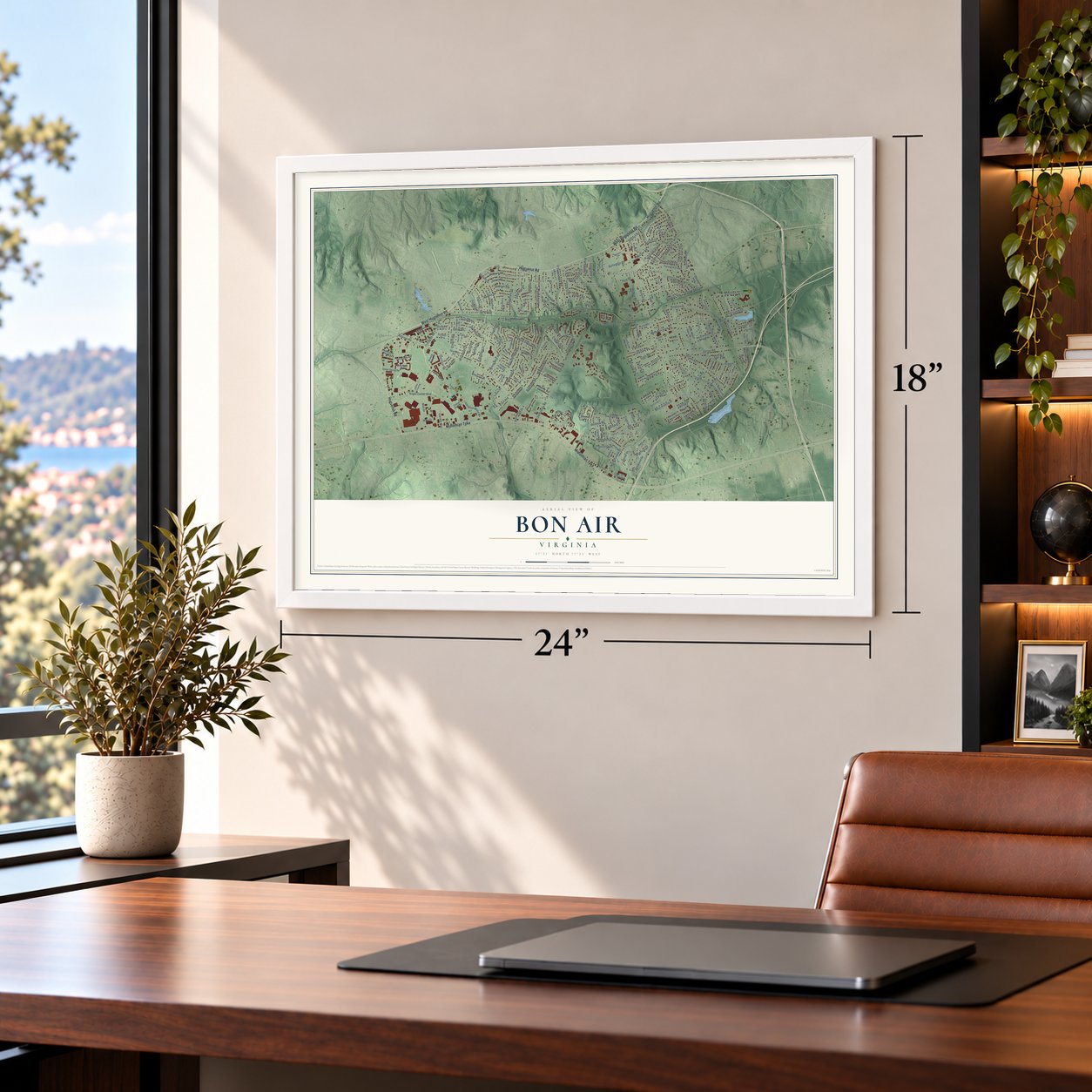
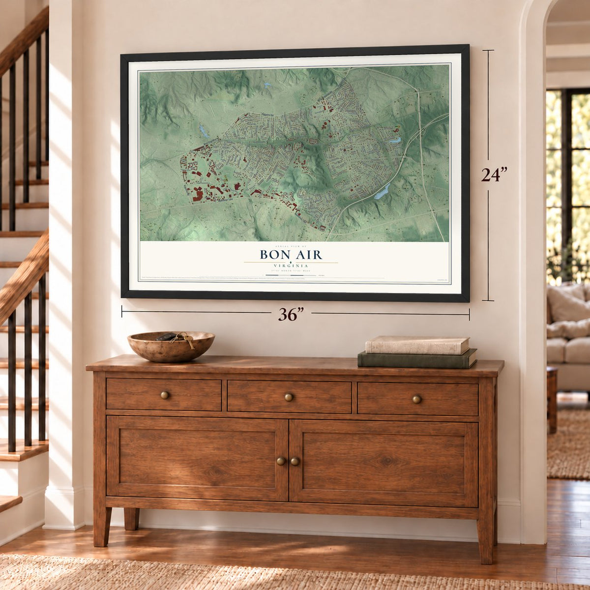

Free U.S. delivery 7 to 10 days after you order
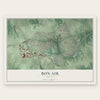
Bon Air, Virginia Map Art
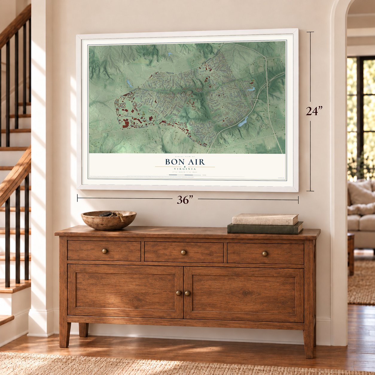
A new map of Bon Air, Virginia, made in 2026 and printed to order on thick archival matte paper.
12" x 18" Archival Matte Print
A Map of Home. A Work of Art.
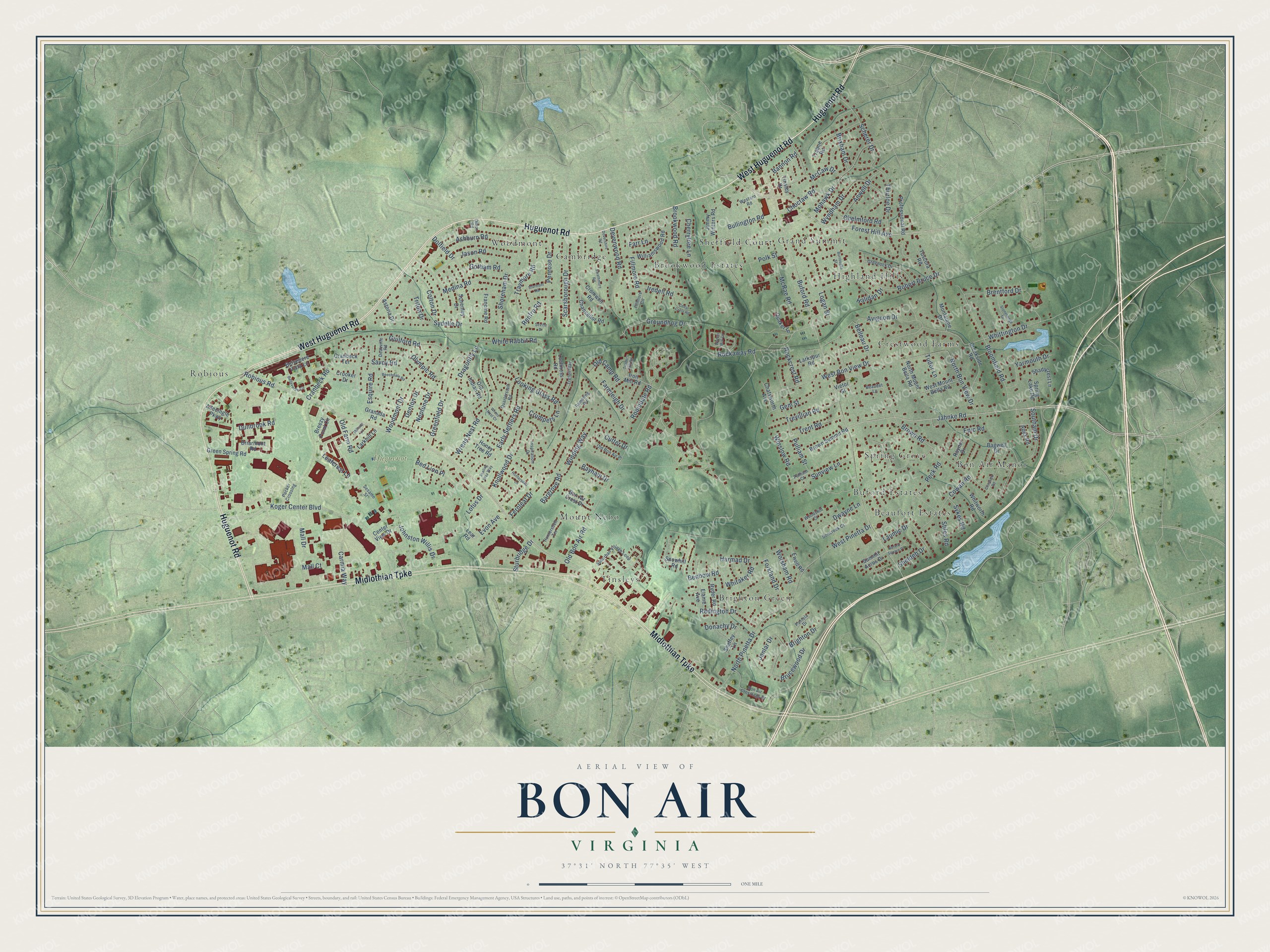
Explore Bon Air, Virginia from a whole new perspective. Created using aerial imagery and detailed geographic data, this map captures Bon Air building by building, with labeled streets, familiar landmarks, and shaded topographical relief that highlights the natural contours of the landscape.
Combining modern data with the timeless character of a vintage atlas, this map is just as interesting up close as it is beautiful on the wall. Whether you grew up in Bon Air, spent memorable years there, or call it home today, this unique map is a great way to celebrate a place that means something to you. Zoom in on the preview to look for your street, and then order a print to put your memories on the wall.
Three ways to hang it
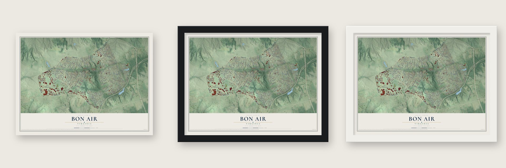
Unframed archival matte, a black wood frame or a white wood frame.
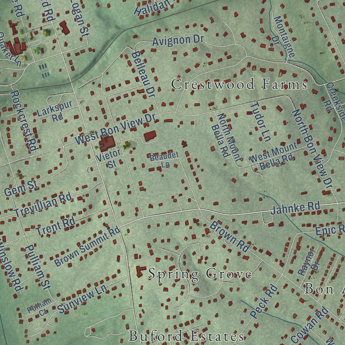
Up close
Geography Worth Displaying
This map was created using accurate cartographic data and authoritative geographic sources, including the U.S. Geological Survey and the Census Bureau. The map brings together terrain, waterways, roads, and building detail. The majority of the streets are labeled, houses are accurately depicted, and the topography is derived from government sources. Combining local data with carefully composed color and shading leads to this beautifully detailed Bon Air artwork for your wall.
Rather than simply showing street outlines, we’ve included as many of the street names as we could reasonably fit on the map while keeping their names legible. Zoom in on the high resolution preview to see exactly what’s on the map. We truly set out to create a statement piece for anyone who loves Bon Air. So whether it’s for you, or a gift for someone you love, we hope this map of Bon Air brings back fond memories.
Read the story behind this map of Bon Air, Virginia from 2026.
About Bon Air, Virginia
Bon Air is a community of 18,022 people in Chesterfield County, just outside Richmond. Before the resort, the area was known as Brown's Summit, probably after a Brown family farm, and much of the land belonged to Anderson Edwards's plantation. In 1840 the Duval brothers, Nathaniel and James, bought large portions of that plantation from Edwards.
Around 1875 Colonel Algernon S. Buford, president of the Richmond and Danville Railroad, bought part of the Duval land south of the tracks. In 1877 he was among the first investors in the Bon Air Land and Improvement Company, which built a summer resort about 8 miles from Richmond by train. Wealthy families came for the higher ground and clean air, away from the city's factory smoke, and the place was renamed Grand Summit and then Bon Air, French for "good air." In the 20th century it became a year-round neighborhood, and new subdivisions filled in during the 1950s.
- The Bethany HomeIn 1889 J.R.F. Burroughs, a Confederate veteran from Lynchburg, and his wife Lucy bought a 165-acre farm here. The childless couple opened the Home for Friendless Children, incorporated in 1898, and never asked for donations. After his death in 1915, Bon Air Presbyterian Church and others ran the Bethany Home until it closed in the 1940s. Over a thousand children lived there, about 50 at a time.
- A station from AtlantaBon Air's first Southern Railway station was a building shipped in from the International Cotton Exposition, held in Atlanta in 1881. It was replaced in 1917. For many years the community had three stops on one mile of track, and passenger trains kept running until 1957.
- Polk Miller and his dogPolk Miller, a Bon Air pharmacist and celebrated banjo player, made remedies for his favorite hunting dog, Sergeant. That work grew into what became Sergeant's Pet Care Products, and Polk Street carries his name.
- The county's oldest lending libraryThe Bon Air Association built Chesterfield County's oldest lending library in 1902 as a memorial to Dr. James K. Hazen. He led the local Presbyterian congregation and had founded the Bon Air Chautauqua Society in 1885.
- The streetcar that never cameDeveloper George Craghead Gregory financed the Westham Bridge, a toll bridge over the James River, in 1911. He wanted a streetcar line from Westhampton Park to Bon Air and graded the route all the way, but the line was never built. The flood-prone bridge gave way in 1950 to the Huguenot Memorial Bridge, and the old grade still shows in the gentle slopes of Southampton Road and Mohawk Drive.
Find your street
Names on the Bon Air map
Every name below is printed on this map. Look for your street, your school, the park where you played, or the pond down the road.
Places and landmarks16
- Huguenot Park
- Beaufort Estates
- Bon Air Manor
- Brighton Green
- Brookwood Estates
- Buford Estates
- Cambridge
- Crestwood Farms
- Grand Summit
- Highland Hills
- Mount Nebo
- Robious
Show all 16 places
- Sheffield Court
- Spring Grove
- Tinsleys
- Woodmont
Streets and roads204
- West Huguenot Road
- Huguenot Road
- Midlothian Turnpike
- Jahnke Road
- Forest Hill Avenue
- Robert Bruce Drive
- Rockaway Road
- Belleau Drive
- Robious Road
- Buford Road
- Koger Center Boulevard
- Whittington Drive
- Old Bon Air Road
- Robindale Road
- Early Settlers Road
- West Bon View Drive
- Johnston Willis Drive
- Woodmont Drive
- North Pinetta Drive
- McRae Road
- Ashburn Road
- Logan Street
- Savoy Road
- Pulliam Street
- Bloomfield Road
- Brown Road
- Greenfield Drive
- Brookwood Road
- McCaw Drive
- Sydelle Drive
Show all 204 streets
- Wrens Nest Road
- Winding Way
- Knollwood Drive
- Shoreham Drive
- Southam Drive
- Penrose Drive
- Looking Glass Road
- Groundhog Drive
- Dolfield Drive
- Dwayne Lane
- Mohawk Drive
- Devenwood Road
- Jason Road
- Brighton Drive
- Medina Road
- Scarsborough Drive
- Traymore Road
- Brucewood Drive
- Gem Street
- Scherer Drive
- Benbow Road
- Bullington Road
- Mall Drive
- Peck Road
- Redington Drive
- Iredell Road
- Avignon Drive
- Dunbrook Road
- Leafcrest Lane
- Guilford Road
- Olympic Road
- Esquire Road
- Cranbeck Road
- Brentford Drive
- Carmia Way
- Chelmford Road
- Anwell Drive
- Epic Road
- White Rabbit Road
- Cowan Road
- Trevillian Road
- Trent Road
- Yarmouth Drive
- Sunview Lane
- Brixham Drive
- Thurloe Drive
- Stiles Road
- North Bon View Drive
- West Pinetta Drive
- Choctaw Road
- Winslow Road
- Fernleaf Drive
- Dragonfly Lane
- Renfro Road
- Cherrytree Lane
- Harmad Drive
- Crumpets Lane
- Colton Drive
- Farmleigh Drive
- Forkland Drive
- Lotus Drive
- Mall Court
- Red Lion Place
- Gotham Road
- Rockcrest Road
- Janlar Drive
- Old Farm Road
- Denton Drive
- Bayham Drive
- Fillmore Road
- Neptune Drive
- Sykes Road
- Worsham Road
- Polk Street
- Old Camp Road
- Whitaker Road
- Evon Avenue
- Triton Drive
- Bannon Road
- Sturbridge Drive
- Wyndham Drive
- Halidan Drive
- Laumic Drive
- Tudor Lane
- Farr Lane
- Bargrove Road
- Sheldeb Drive
- Cutter Drive
- Donachy Drive
- Breezy Point Circle
- Belvedere Vista Lane
- Williamswood Road
- Jimmy Winters Road
- Cromwell Road
- Granada Road
- Brown Summit Road
- Larkspur Road
- Schenley Drive
- Trabue Road
- Iron Mill Road
- Creekside Road
- Old Indian Road
- Ryder Road
- Elaine Avenue
- Shadycrest Lane
- Chancellor Road
- Lochness Road
- Chatsworth Avenue
- North Mount Bella Road
- Snowhill Road
- Whitworth Road
- Sheffey Lane
- Green Spring Road
- Professional Road
- West Mount Bella Road
- Larkhill Lane
- Bon Air Crest Drive
- Montaigne Drive
- Honey Tree Road
- Francine Road
- Spring Lake Road
- Tuscora Road
- Summit Acres Drive
- Briarmont Road
- Crooker Drive
- Tinsley Drive
- Center View Drive
- Quaker Lane
- Apex Road
- Raynor Drive
- Allecingie Parkway
- Astoria Drive
- Cranbeck Terrace
- Bagwell Drive
- Ewell Road
- Vietor Street
- Lear Road
- Suburban Village Loop
- Sesame Street
- Greenock Drive
- Inspiration Drive
- Deauville Road
- Bon Air Crossings Drive
- Dillon Road
- Boncreek Court
- Quarterstaff Road
- Trefoil Way
- Old Bon Air Place
- Huntersdell Terrace
- Pantela Drive
- Rambling Road
- Packer Crossing
- Fillmore Circle
- Woodshill Court
- Western Road
- Pulliam Court
- Beaudet Lane
- Cedar Crest Road
- Huntersdell Lane
- Burroughs Street
- Timbers Hill Road
- Swathmore Road
- Dovershire Road
- Chiswick Road
- Waters Mill Circle
- Stonehenge Drive
- Bellaverde Circle
- Starmont Road
- Beechdale Road
- Seville Drive
- Millsap Lane
- Sealing Wax Way
- Buford Square Place
- Wrens Nest Court
Names are listed as they appear on the printed map. Zoom into the product photos to find them.
The art of mapping a place
How This Map Was Made
Real places. Remarkable detail. Discover the layers that turn geographic data into a map of home.

The view from above
Aerial imagery reveals the character of the land: woodland, open fields, and the patterns of a place.

The shape of the land
Elevation data brings hills, valleys, and subtle changes in the landscape into view.

The details of home
Roads, waterways, and building footprints come together to make the map feel unmistakably local.

Geography becomes art
Considered color, shading, and typography bring the layers together in a map made for your wall.


Process illustrated with Mendon, Massachusetts. Aerial imagery: USDA NAIP. Terrain: USGS 3D Elevation Program. Map details and finished artwork: KNOWOL.
The Details
About This Print
Choose an archival matte print, or a black or white Ayous wood frame. The archival matte print is unframed.
Select your size and finish above to see the matching product image and price.
Materials & Craftsmanship
A contemporary map with the character of a classic atlas, printed on archival matte paper. Optional frames are made from Ayous wood.
Your printed map does not include the watermark shown in the full-map preview.
Shipping & Delivery
Free shipping within the United States. Every print is made to order in the USA.
Buying a gift? Add a note in your cart and we'll include it. We never put prices in the package.
Prints ship within 2 to 3 business days. Allow 7 to 10 days total from ordering for delivery. Timing may vary during holidays or periods of high order volume.
Read our shipping policy.
Returns and damaged prints
Each print is made to order. Change-of-mind refunds are not available after production.
If your print arrives damaged, misprinted or incorrect, contact support@knowol.com within 30 days of receiving it. Include your order number, photos and a description of the issue.
Read our full refund and replacement policy. For questions about your order, email support@knowol.com.
Find your town
Looking for another city?
Find a map of home in our Virginia collection, or any town in the country.
Nearby
Maps of towns near Bon Air
Know someone from one of these towns? Their map makes a great gift.
 Manchester
, Virginia
From $39.99See the map
 Rockwood
, Virginia
From $39.99See the map
 Midlothian
, Virginia
From $39.99See the map
More maps nearby: Tuckahoe, Richmond, Brandermill, Dumbarton and Meadowbrook.