
Search for another town


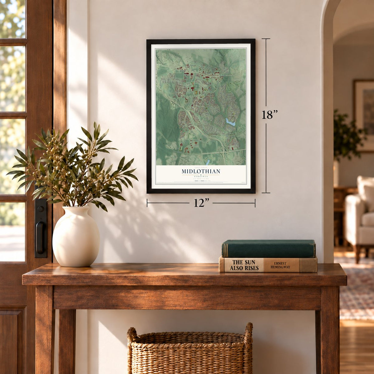
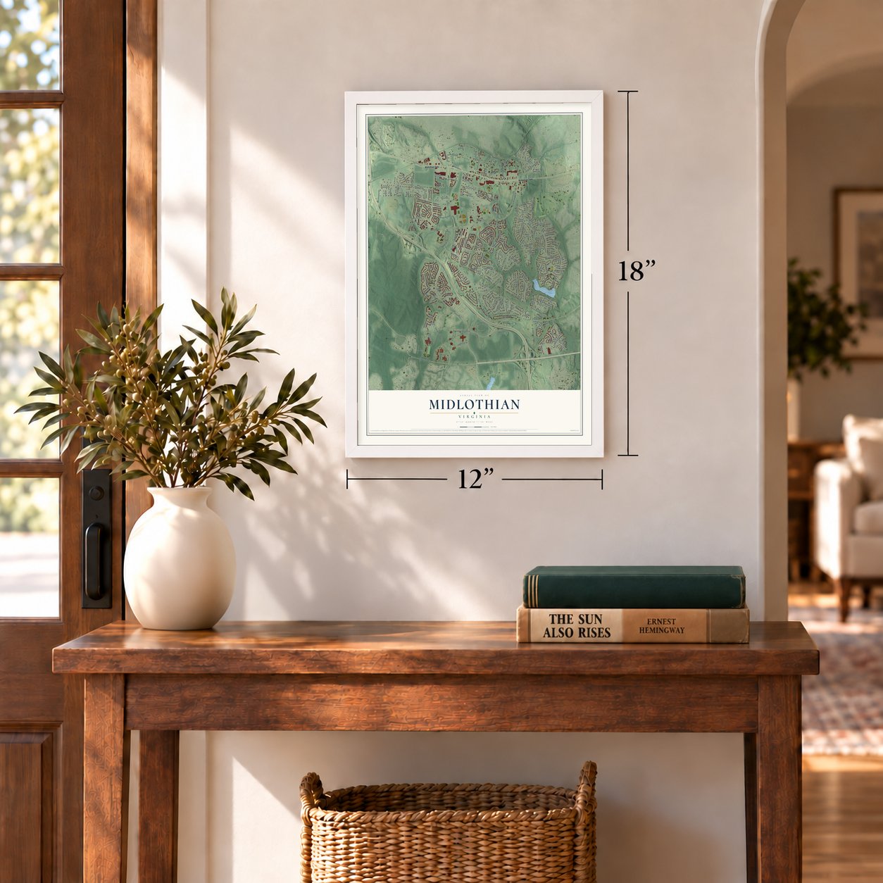
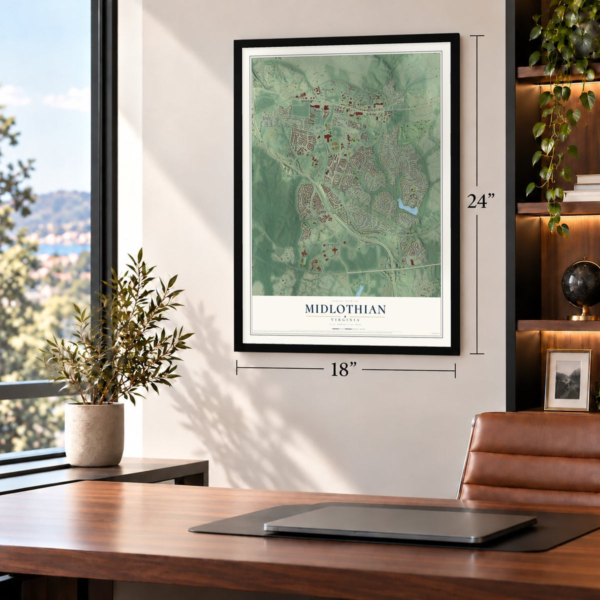
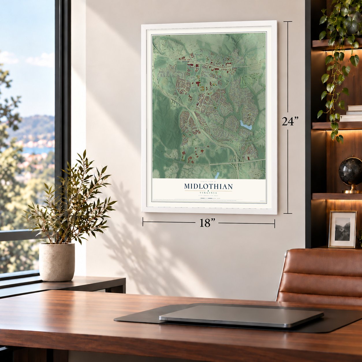


Free U.S. delivery 7 to 10 days after you order
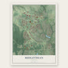
Midlothian, Virginia Map Art
A new map of Midlothian, Virginia, made in 2026 and printed to order on thick archival matte paper.
12" x 18" Archival Matte Print
A Map of Home. A Work of Art.
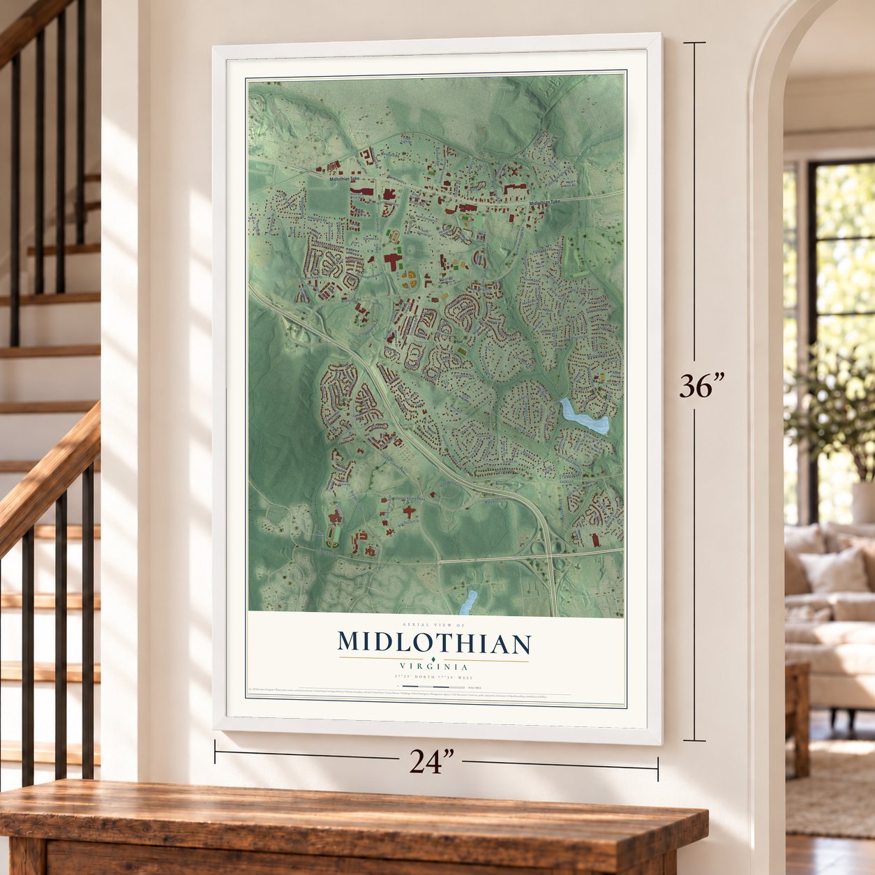
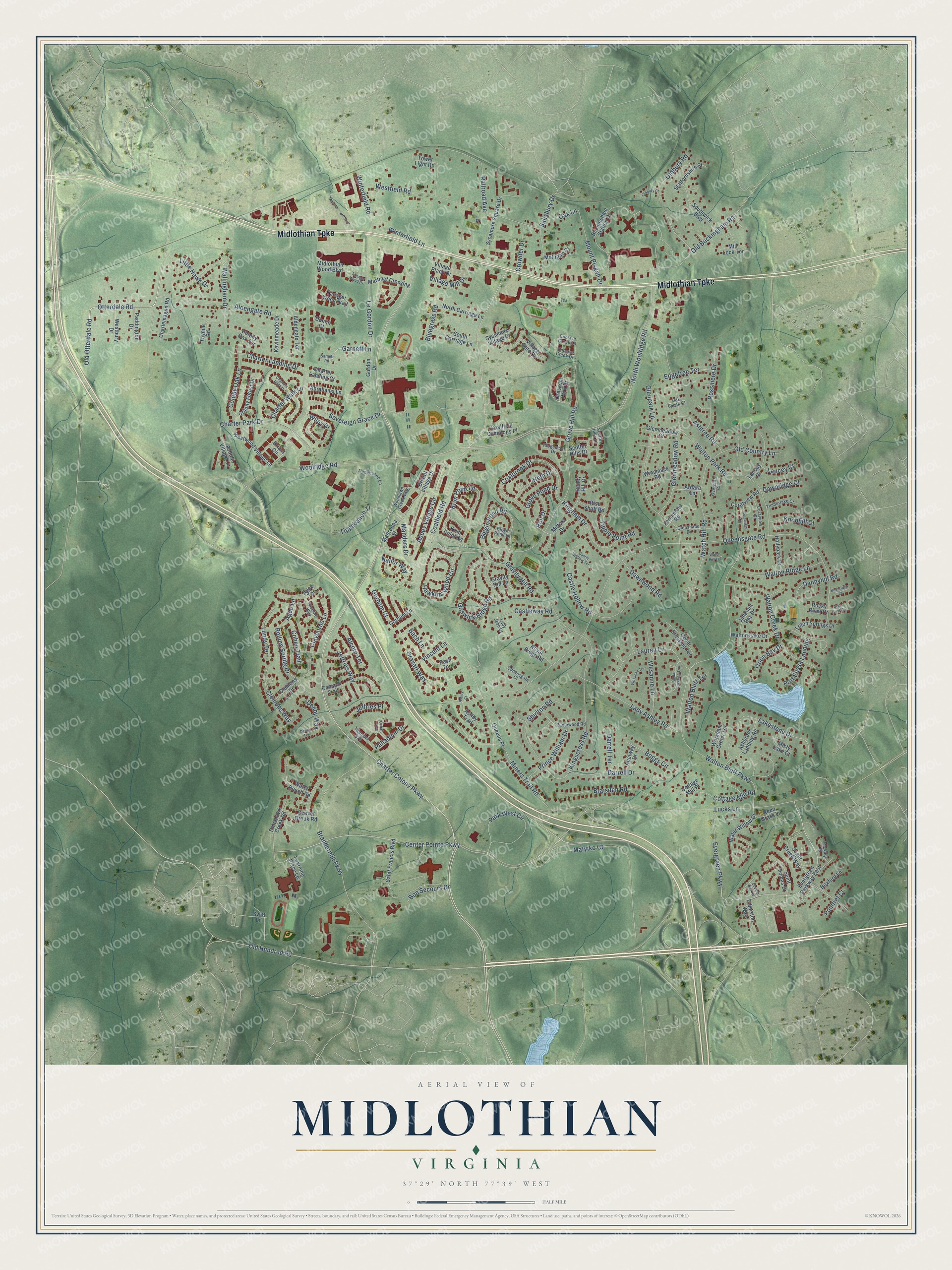
Explore Midlothian, Virginia from a whole new perspective. Created using aerial imagery and detailed geographic data, this map captures Midlothian building by building, with labeled streets, familiar landmarks, and shaded topographical relief that highlights the natural contours of the landscape.
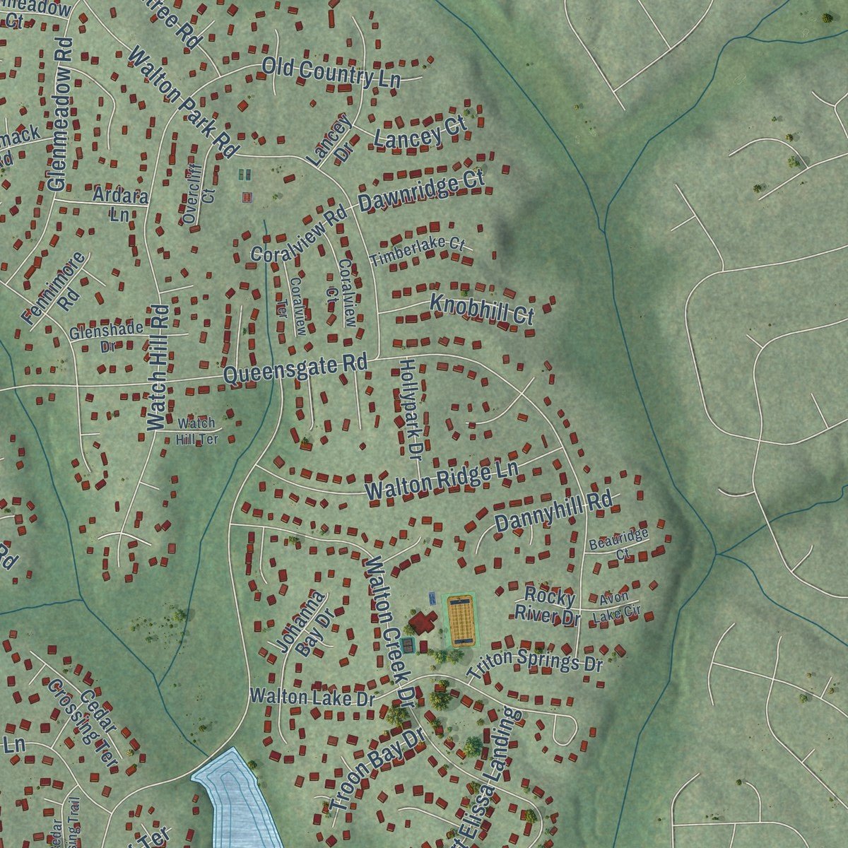
Combining modern data with the timeless character of a vintage atlas, this map is just as interesting up close as it is beautiful on the wall. Whether you grew up in Midlothian, spent memorable years there, or call it home today, this unique map is a great way to celebrate a place that means something to you. Zoom in on the preview to look for your street, and then order a print to put your memories on the wall.
Three ways to hang it
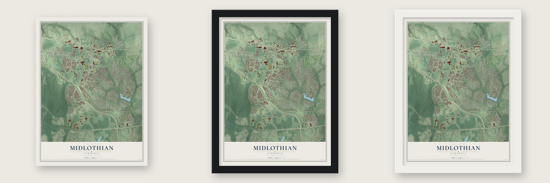
Unframed archival matte, a black wood frame or a white wood frame.
Up close
Geography Worth Displaying
This map was created using accurate cartographic data and authoritative geographic sources, including the U.S. Geological Survey and the Census Bureau. The map brings together terrain, waterways, roads, and building detail. The majority of the streets are labeled, houses are accurately depicted, and the topography is derived from government sources. Combining local data with carefully composed color and shading leads to this beautifully detailed Midlothian artwork for your wall.
Rather than simply showing street outlines, we’ve included as many of the street names as we could reasonably fit on the map while keeping their names legible. Zoom in on the high resolution preview to see exactly what’s on the map. We truly set out to create a statement piece for anyone who loves Midlothian. So whether it’s for you, or a gift for someone you love, we hope this map of Midlothian brings back fond memories.
Read the story behind this map of Midlothian, Virginia from 2026.
About Midlothian, Virginia
Midlothian is a community of 18,320 people in Chesterfield County, south of the James River and west of Richmond. It grew up around coal. In 1709 miners here dug coal for sale, the first time that happened anywhere in the United States, and Scots settlers who knew mining worked the coal basin through the 18th century. Maps of the late 1700s simply marked the spot "Coal Mines," and the village later went by Coalfield.
Moving that coal 13 miles to the port of Manchester shaped the roads. Mine owners asked for a toll road in 1802, and when it was graveled in 1807 it became Virginia's first hard-surfaced road. Today it is Midlothian Turnpike. By 1824, some 70 to 100 wagons a day hauled four or five tons each over it. In 1831 the Chesterfield Railroad, also Virginia's first, began carrying coal along the same route. In 1835 the Wooldridge brothers and their two sisters formed the Midlothian Coal Mining Company, named for a family tract. The post office at Coalfield Station took the company's name, and by the late 1800s the whole village was called Midlothian.
“The country on James river, from 15 to 20 miles above Richmond, and for several miles northward and southward, is replete with mineral coal of a very excellent quality.”
- Coal for the White HouseDuring the Revolution, Midlothian coal fed the cannon factory at Westham, upstream from Richmond, which made shot and shells for the Continental Army. Later, as president, Thomas Jefferson ordered coal from Harry Heth's Black Heath Mine to heat the White House.
- A church and a schoolFirst Baptist Church of Midlothian, founded in 1846, was Chesterfield County's first Black church. When it was rebuilt in 1877 after a fire, the congregation added a small one-room building that became the area's first public school for Black children.
- Coalfield Station, 1850 to 1957The Richmond and Danville Railroad built Coalfield Station near the mines in 1850. It was destroyed in 1864 during the Civil War, rebuilt in 1866 and finally torn down in 1957. It stood where Salisbury Drive meets the railroad.
- Midlothian Mines ParkCounty supervisors approved a plan for the park in 1989, as growth along Midlothian Turnpike brought a flood of new residents. The park sits on the ground where Virginia's first commercial coal was dug, and it opened to visitors in 2004.
Find your street
Names on the Midlothian map
Every name below is printed on this map. Look for your street, your school, the park where you played, or the pond down the road.
Streets and roads216
- Midlothian Turnpike
- Charter Colony Parkway
- Otterdale Road
- Old Otterdale Road
- North Woolridge Road
- Center Pointe Parkway
- Coalfield Road
- Kingham Drive
- Lucks Lane
- Queensgate Road
- Grove Hill Road
- Walton Bluff Parkway
- Brandermill Parkway
- Evergreen Parkway
- Walton Park Road
- Old Hundred Road
- Kingscross Road
- Glenpark Lane
- Miners Trail Road
- Matyiko Court
- Westfield Road
- Woolridge Road
- Goswick Ridge Road
- Walton Creek Drive
- Aldengate Road
- Watch Hill Road
- Coalbrook Drive
- Old Buckingham Road
- Abbey Village Circle
- Charter Landing Drive
Show all 216 streets
- Castle Hollow Road
- Park West Circle
- Braisden Road
- Lady Ashley Road
- Charter Park Drive
- Krim Point Lp
- Lauren Lane
- Wallingham Drive
- Le Gordon Drive
- Hawkins Wood Circle
- Oldbury Road
- Tippecanoe Tl
- Railroad Avenue
- Walton Ridge Lane
- Shirlton Road
- Biggin Pond Road
- Darrell Drive
- Glenmeadow Road
- Rolling Spring Drive
- Lakestone Drive
- Wesanne Lane
- Salisbury Drive
- Sovereign Grace Drive
- Colony Oak Lane
- Rossmere Drive
- Nailor Way
- Palladium Drive
- Wiley Cr
- Cottage Mill Road
- Mount Pisgah Drive
- Old Country Lane
- Grove Pond Drive
- Prince William Drive
- Ashtree Road
- Manders Drive
- Jeffries Way
- Winterfield Road
- Garnett Lane
- Edgetree Terrace
- Gravity Hill Road
- Clemons Way
- Castleway Road
- Walton Bluff Terrace
- Little Hawk Drive
- Village Mill Drive
- Tipple Point Road
- Winterfield Lane
- Clayborne Lane
- Port Elissa Landing
- Dawnwood Road
- Lundy Terrace
- Agee Lane
- Heth Drive
- Crowder Drive
- Charter Walk Lane
- Dannyhill Road
- Boggs Circle
- Bon Secours Drive
- Gravatt Way
- Knobhill Court
- Cohen Trail
- Oak Lane
- Troon Bay Drive
- Darrell Terrace
- Dawnridge Court
- Vincent Lane
- Gorham Court
- Jeffries Place
- Bluegrass Road
- Alcorn Terrace
- Roll Drive
- Denby Way
- Lancey Court
- Bach Lane
- Pomfret Court
- Scotter Hills Drive
- Evergreen Parkway East
- Buckingham Station Drive
- Saint Francis Boulevard
- Bristol Village Drive
- Walton Lake Drive
- Westwood Village Lane
- Sycamore Square Drive
- Learning Place Lp
- Southwick Boulevard
- Tanager Wood Trail
- Colony Forest Drive
- Water Willow Drive
- Tower Light Road
- Sugar Creek Way
- Dunlin Court
- Ashbrook Landing Road
- Camack Trail
- Tomahawk Creek Road
- Midlothian Wood Boulevard
- Water Beech Road
- Lancey Drive
- South Carriage Lane
- North Carriage Lane
- Charlemagne Road
- Worsham Green Terrace
- Saint Thomas Drive
- Martinet Crossing
- Triton Springs Drive
- Staffordshire Street
- Coalfield Commons Place
- Ashton Village Lane
- Cedar Crossing Terrace
- Madronna Street
- Sycamore Village Drive
- Agee Terrace
- Abrahams Lane
- Kevinmeade Drive
- Mitford Drive
- Railey Hill Drive
- Hollypark Drive
- Beaver Brook Road
- Aldengate Terrace
- Briars Circle
- Westbury Drive
- Johanna Bay Drive
- Coralview Road
- Winamack Road
- Paddington Drive
- Village Place Drive
- Glenmeadow Court
- Krim Point Road
- Clemons Drive
- Royal Ridge Road
- Crescent Park Drive
- Charter Landing Court
- Gordon Drive
- Village Gate Drive
- Boxford Lane
- Astley Trail
- Edmiston Way
- Fennimore Road
- Mulligan Court
- Gorham Lane
- Rise Shaft Road
- Reed Grass Lane
- Ardara Lane
- Bach Terrace
- Abelway Drive
- Queens Place
- Cottage Mill Place
- Colony Oak Terrace
- Misty Lake Court
- Mill Lock Terrace
- Rocky River Drive
- Thynne Road
- Gravity Hill Lane
- Swift Lane
- Tippecanoe Lane
- Paigewood Road
- Woodlawn Creek Way
- Biggin Pond Lane
- Glenshade Drive
- Nicolay Way
- Timberlake Court
- Coralview Court
- Enclave Creek Lane
- Titanium Avenue
- Overcliff Court
- Queensgate Court
- Ridgemoor Drive
- Enclave Creek Drive
- Oak Creek Court
- Scotter Hills Lane
- Lady Jean Court
- Tackley Place
- Tanager Wood Court
- Garnett Road
- Charters Bluff Tl
- Cedar Crossing Trail
- Wesanne Terrace
- Coralview Terrace
- Denby Terrace
- Cobalt Avenue
- Castle Hollow Terrace
- Beauridge Court
- Watch Hill Terrace
- Oldbury Court
- Avon Lake Circle
- Church Bay Road
- Astley Court
Names are listed as they appear on the printed map. Zoom into the product photos to find them.
The art of mapping a place
How This Map Was Made
Real places. Remarkable detail. Discover the layers that turn geographic data into a map of home.

The view from above
Aerial imagery reveals the character of the land: woodland, open fields, and the patterns of a place.

The shape of the land
Elevation data brings hills, valleys, and subtle changes in the landscape into view.

The details of home
Roads, waterways, and building footprints come together to make the map feel unmistakably local.

Geography becomes art
Considered color, shading, and typography bring the layers together in a map made for your wall.


Process illustrated with Mendon, Massachusetts. Aerial imagery: USDA NAIP. Terrain: USGS 3D Elevation Program. Map details and finished artwork: KNOWOL.
The Details
About This Print
Choose an archival matte print, or a black or white Ayous wood frame. The archival matte print is unframed.
Select your size and finish above to see the matching product image and price.
Materials & Craftsmanship
A contemporary map with the character of a classic atlas, printed on archival matte paper. Optional frames are made from Ayous wood.
Your printed map does not include the watermark shown in the full-map preview.
Shipping & Delivery
Free shipping within the United States. Every print is made to order in the USA.
Buying a gift? Add a note in your cart and we'll include it. We never put prices in the package.
Prints ship within 2 to 3 business days. Allow 7 to 10 days total from ordering for delivery. Timing may vary during holidays or periods of high order volume.
Read our shipping policy.
Returns and damaged prints
Each print is made to order. Change-of-mind refunds are not available after production.
If your print arrives damaged, misprinted or incorrect, contact support@knowol.com within 30 days of receiving it. Include your order number, photos and a description of the issue.
Read our full refund and replacement policy. For questions about your order, email support@knowol.com.
Find your town
Looking for another city?
Find a map of home in our Virginia collection, or any town in the country.
Nearby
Maps of towns near Midlothian
Know someone from one of these towns? Their map makes a great gift.
 Brandermill
, Virginia
From $39.99See the map
 Rockwood
, Virginia
From $39.99See the map
 Woodlake
, Virginia
From $39.99See the map
More maps nearby: Bon Air, Manchester, Tuckahoe, Richmond and Meadowbrook.