
Search for another town



Free U.S. delivery 7 to 10 days after you order
Richmond, Virginia Map Art
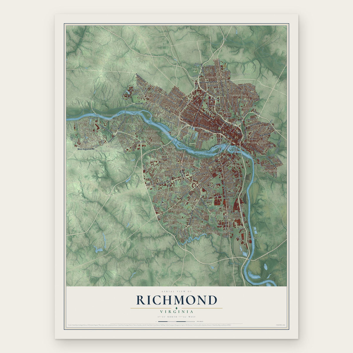
A new map of Richmond, Virginia, made in 2026 and printed to order on thick archival matte paper.
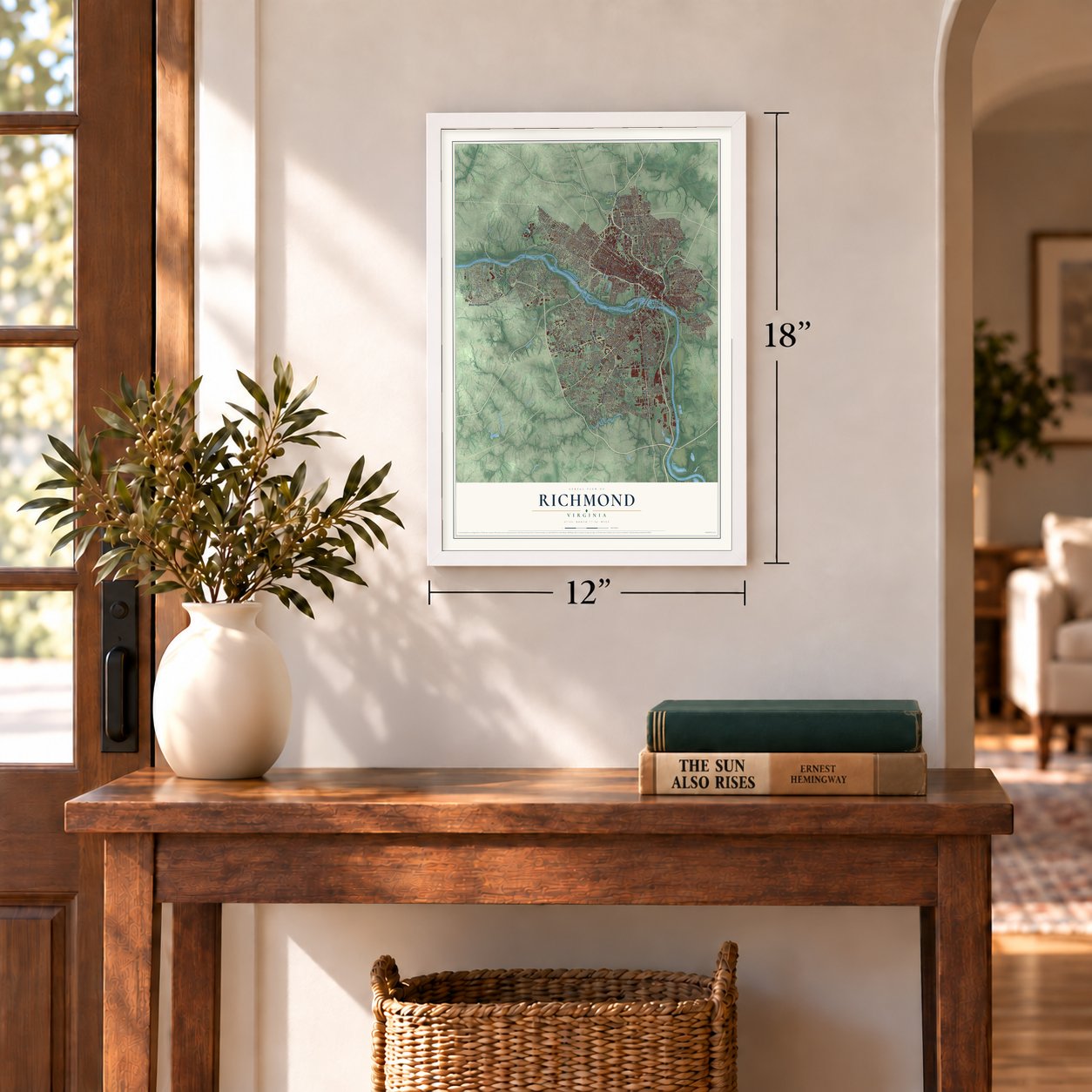
12" x 18" Archival Matte Print
A Map of Home. A Work of Art.
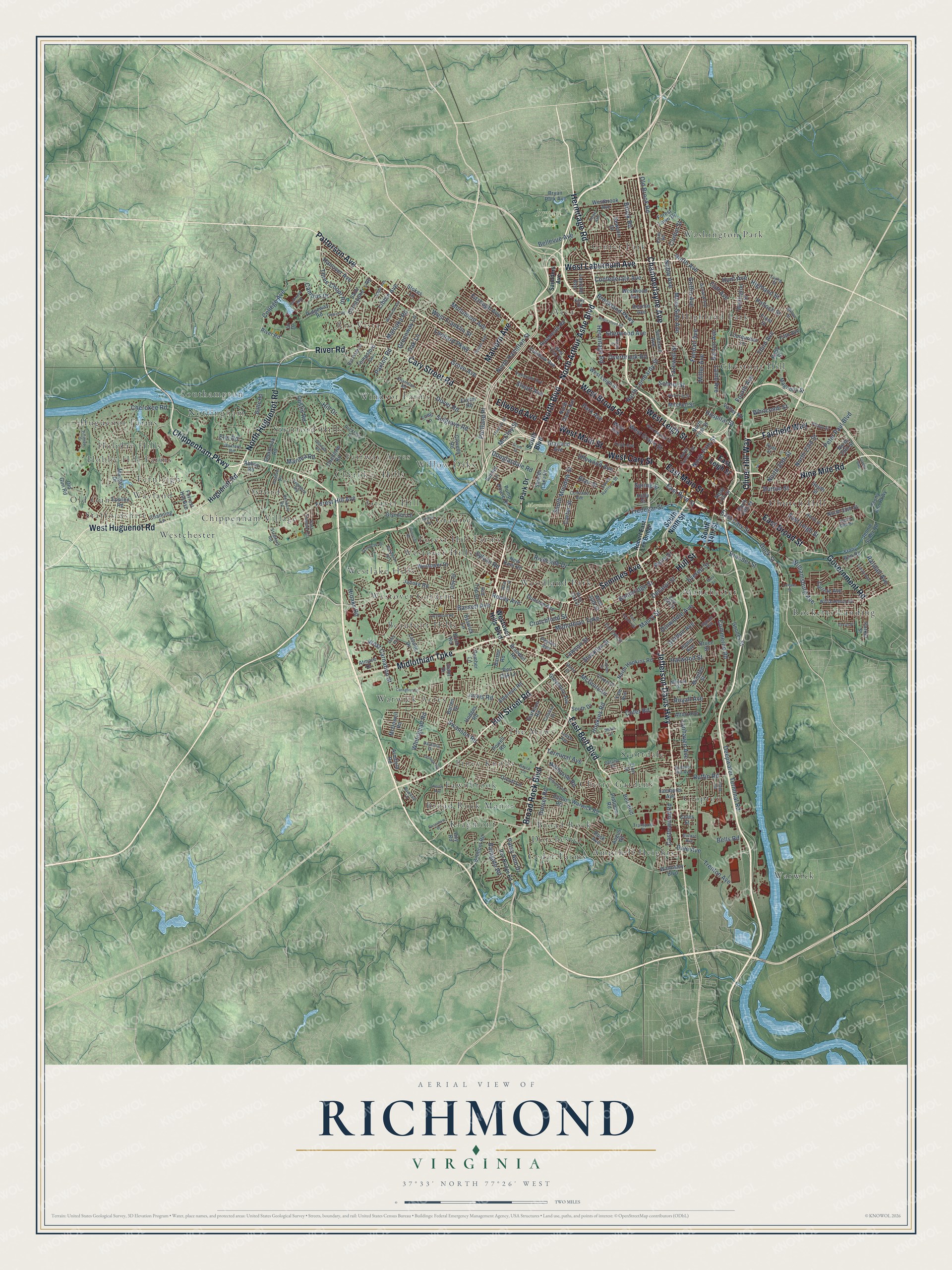
Explore Richmond, Virginia from a whole new perspective. Created using aerial imagery and detailed geographic data, this map captures Richmond building by building, with labeled streets, familiar landmarks, and shaded topographical relief that highlights the natural contours of the landscape.
Combining modern data with the timeless character of a vintage atlas, this map is just as interesting up close as it is beautiful on the wall. Whether you grew up in Richmond, spent memorable years there, or call it home today, this unique map is a great way to celebrate a place that means something to you. Zoom in on the preview to look for your street, and then order a print to put your memories on the wall.
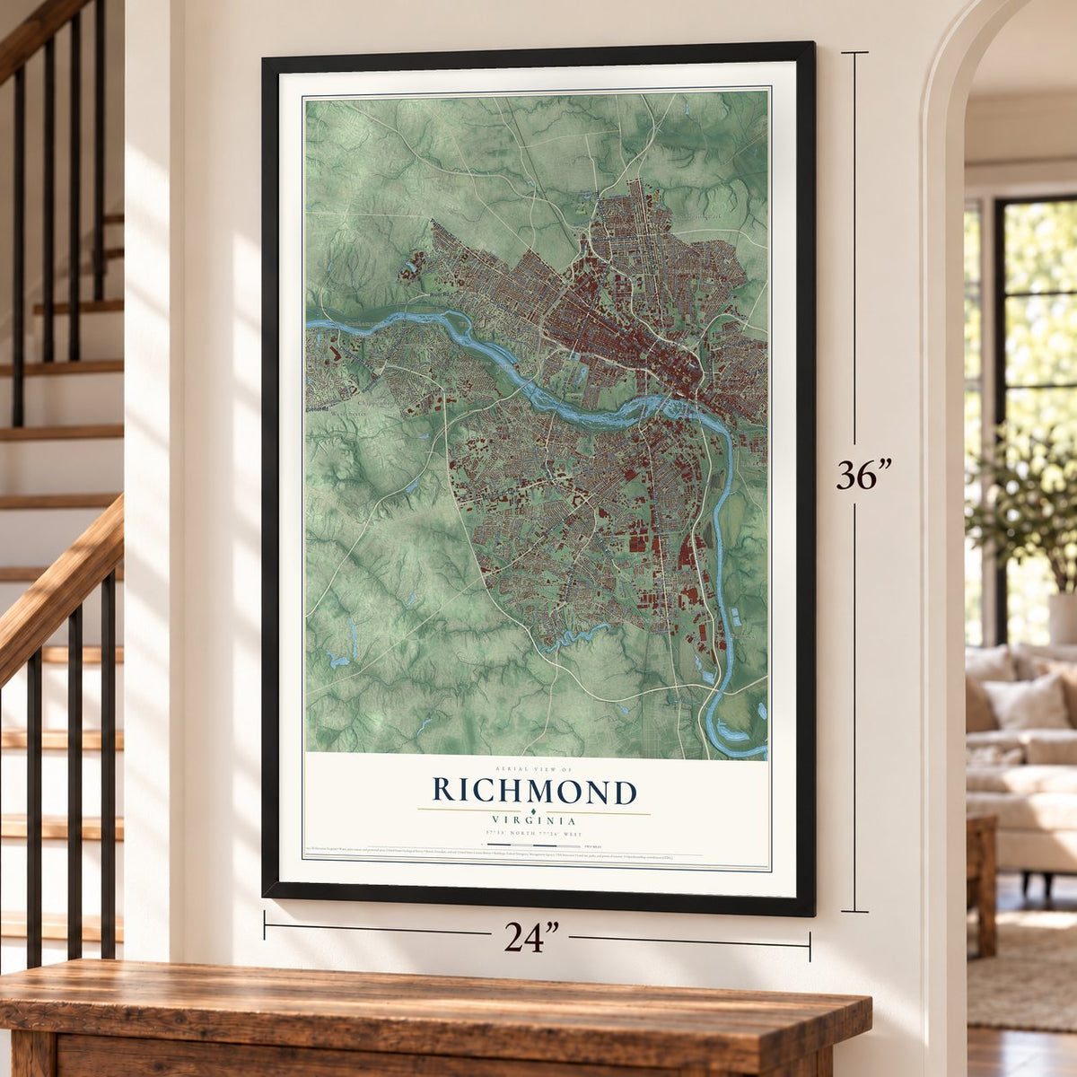
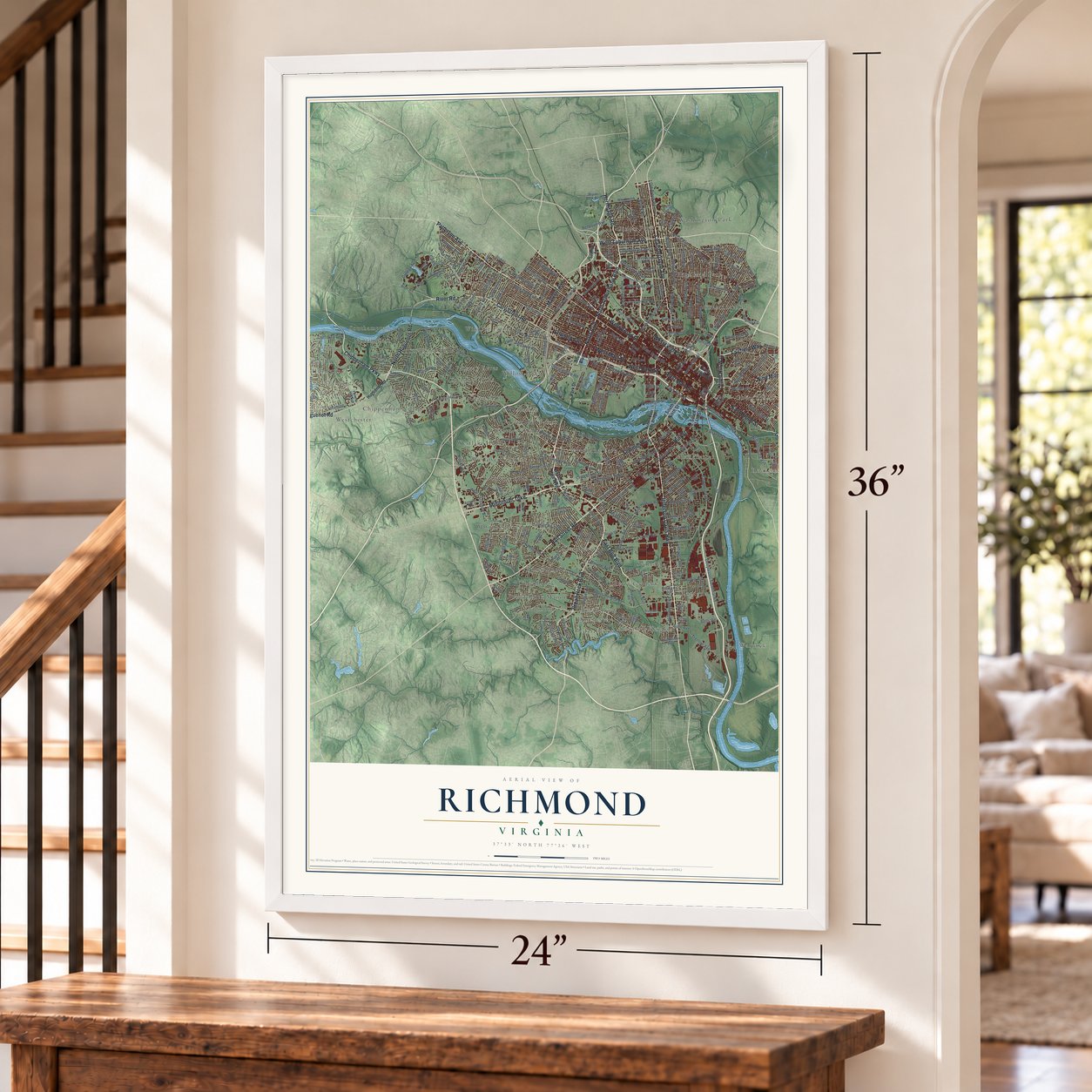
Three ways to hang it
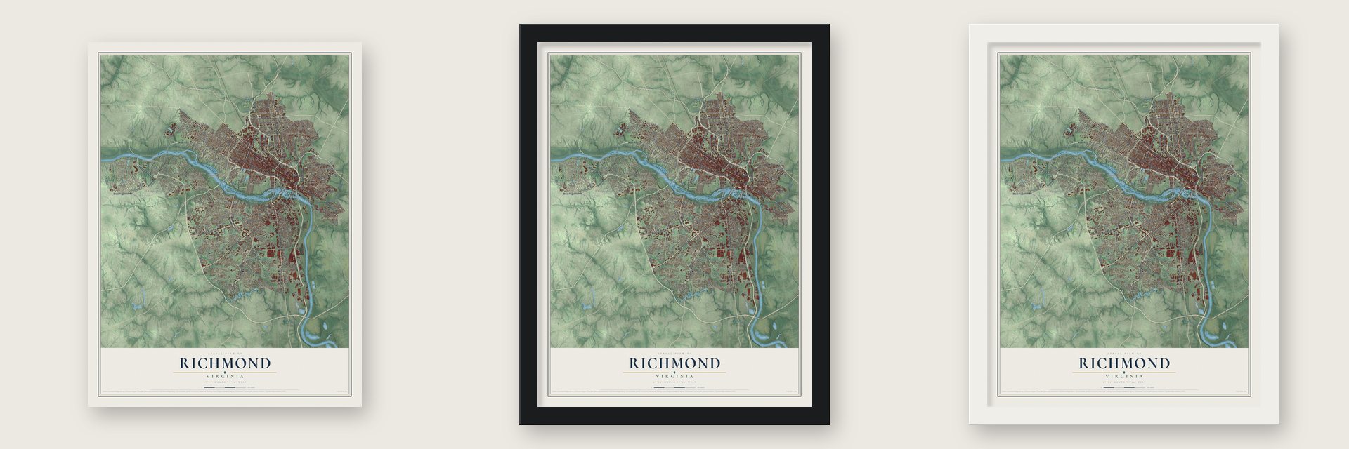
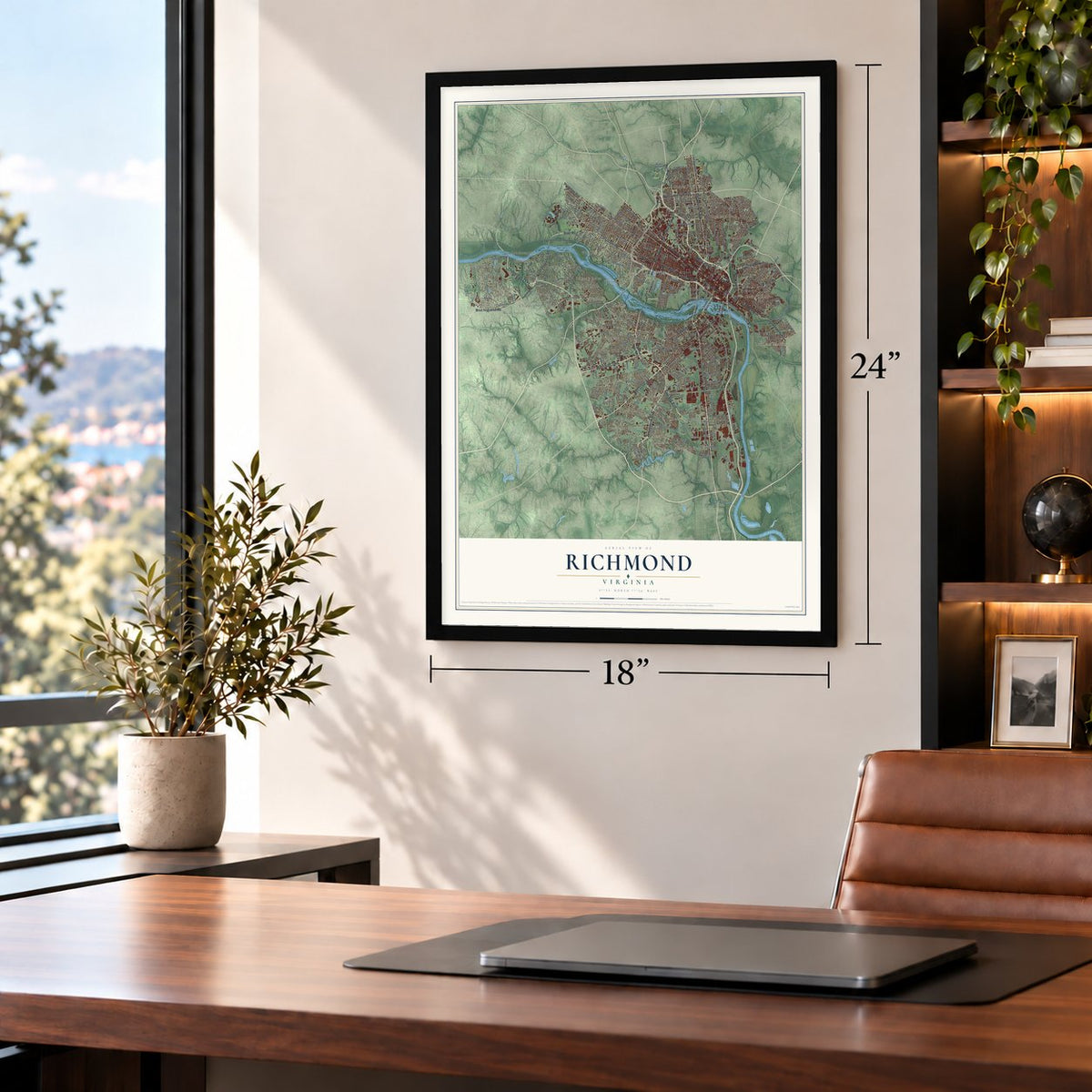
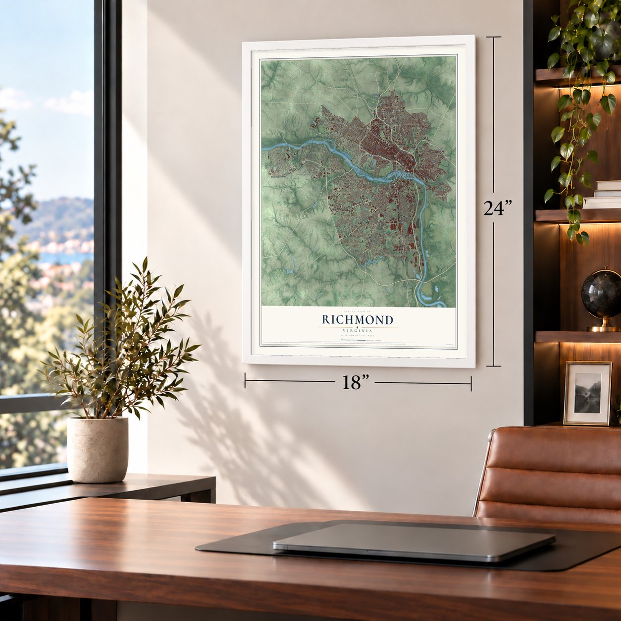
Unframed archival matte, a black wood frame or a white wood frame.
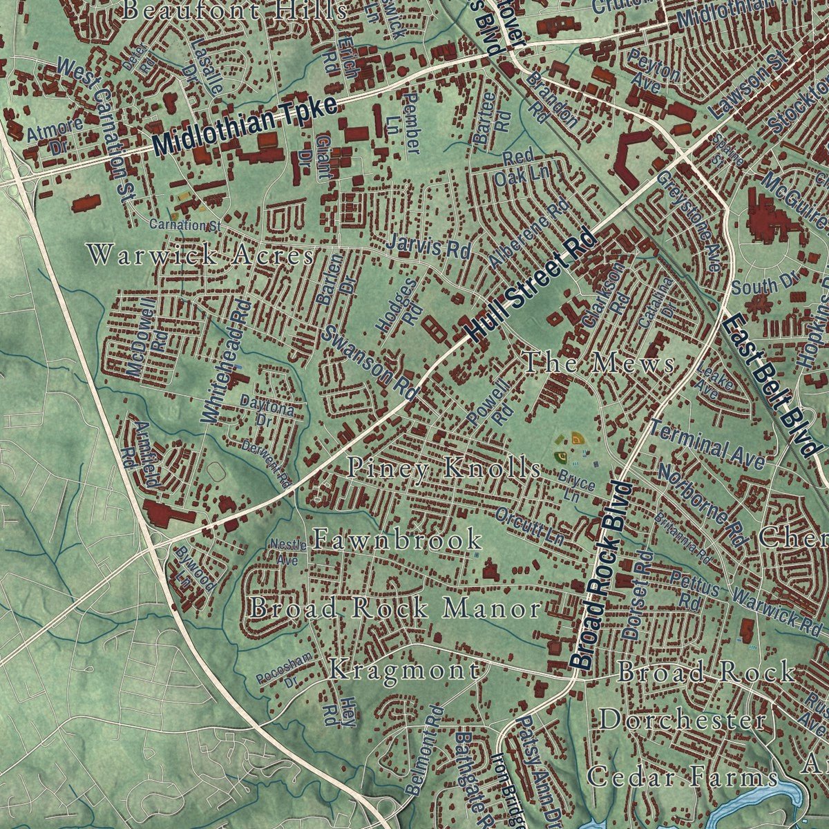
Up close
Geography Worth Displaying
This map was created using accurate cartographic data and authoritative geographic sources, including the U.S. Geological Survey and the Census Bureau. The map brings together terrain, waterways, roads, and building detail. The majority of the streets are labeled, houses are accurately depicted, and the topography is derived from government sources. Combining local data with carefully composed color and shading leads to this beautifully detailed Richmond artwork for your wall.
Rather than simply showing street outlines, we’ve included as many of the street names as we could reasonably fit on the map while keeping their names legible. Zoom in on the high resolution preview to see exactly what’s on the map. We truly set out to create a statement piece for anyone who loves Richmond. So whether it’s for you, or a gift for someone you love, we hope this map of Richmond brings back fond memories.
Read the story behind this map of Richmond, Virginia from 2026.
About Richmond, Virginia
Richmond is the capital of Virginia, a city of 226,610 people at the fall line of the James River. In early 1737 the planter William Byrd II hired Major William Mayo to lay out a town grid, and the work was done by April. Byrd named the town for Richmond, near London, because the river's bend below the falls looked like the view from his home at Richmond Hill on the Thames. Richmond was incorporated in 1742. On April 18, 1780, Virginia moved its capital here from Williamsburg, farther from British ships on the coast. Benedict Arnold's Loyalist troops burned the town in 1781, but within a year it was thriving again.
On May 20, 1861, the Confederate Congress voted to move its capital from Montgomery, Alabama, to Richmond. The city's Tredegar Iron Works was the Confederacy's largest arms factory, and it made the 723 tons of armor that covered the ironclad CSS Virginia. After Petersburg fell in 1865, the Confederate army began to leave Richmond on April 2, burning tobacco warehouses as it went. The next day General Godfrey Weitzel accepted the city's surrender. Union troops put out the fires, but about 25% of the buildings were already lost, and President Abraham Lincoln came up the James to Richmond on April 4.
“I am for Richmond, first and last.”
- Liberty or death in 1775Patrick Henry gave his "Give me liberty or give me death!" speech at St. John's Church in 1775, and it pushed Virginia toward the Revolution. In 1786 the state passed Thomas Jefferson's Statute for Religious Freedom, which separated church and state. In 1788 the State Capitol that Jefferson designed with Charles-Louis Clérisseau was finished.
- A canal around the fallsThe James River and Kanawha Canal, a project George Washington helped plan, ran east from Westham to Richmond so cargo could get past the rapids. Flat-bottomed bateaux carried goods on the river from the 1770s until 1840, when the canal reached Lynchburg. The canal and the power of the falls made Richmond a home for iron works and flour mills, and a canal boatman stands at the center of the city flag.
- Shipped north in a boxIn 1849 Henry "Box" Brown escaped slavery by having himself nailed inside a small box. He was sent by rail from Richmond, through Baltimore's President Street Station, to abolitionists waiting in Philadelphia.
- Lewis Ginter's Jefferson HotelLewis Ginter founded Allen & Ginter, then one of the world's largest tobacco companies, and spent much of his fortune on Richmond. He built the Jefferson Hotel, now on the National Register, and he built suburbs north of the city that other American towns later copied.
Find your street
Names on the Richmond map
Every name below is printed on this map. Look for your street, your school, the park where you played, or the pond down the road.
Places and landmarks50
- Bryan Park
- Maymont
- Acca
- Ampthill Heights
- Beaufont Hills
- Broad Rock
- Broad Rock Manor
- Cedar Farms
- Cherokee Hills
- Cherry Gardens
- Chestnut Hill
- Chippenham Village
Show all 50 places
- Church Hill
- Clopton
- Dorchester
- Fairway Acres
- Fawnbrook
- Fernleigh
- Forest Hill Farms
- Ginter Park
- Granite
- Gravel Hill
- Highland Park
- Hobby Hill Farms
- Holiday Hills
- Huguenot Farms
- Kragmont
- Manchester
- Nottingham
- Old Gun
- Oxford
- Piney Knolls
- Rio Vista
- Rocketts Landing
- Scottdale
- Southampton
- Staffordshire
- Stratford Hills
- The Mews
- Warwick
- Warwick Acres
- Washington Park
- Wayland
- Westchester
- Westlake Hills
- Westover Gardens
- Westover Hills
- Willow Oaks
- Windsor Farms
- Woodland Park
Streets and roads325
- Midlothian Turnpike
- East Belt Boulevard
- North Boulevard
- East Broad Street
- East Main Street
- Hull Street
- Cary Street Road
- West Main Street
- Oliver Hill Way
- Government Road
- Fairfield Way
- Nine Mile Road
- Ellwood Avenue
- River Road
- Hermitage Road
- West Laburnum Avenue
- North Arthur Ashe Boulevard
- Chippenham Parkway
- Broad Rock Boulevard
- North Huguenot Road
- West Leigh Street
- Hull Street Road
- Semmes Avenue
- Patterson Avenue
- West Broad Street
- West Huguenot Road
- Malvern Avenue
- West Cary Street
- Jefferson Davis Highway
- Chamberlayne Avenue
Show all 325 streets
- Forest Hill Avenue
- Brookland Parkway
- North Fifth Street
- College Avenue
- McGuire Drive
- Hospital Street
- West Franklin Street
- Hopkins Road
- Bells Road
- McCloy Street
- Commerce Road
- Cherokee Road
- Three Chopt Road
- Bainbridge Street
- East Leigh Street
- Monument Avenue
- Douglasdale Road
- South Meadow Street
- Brook Road
- Grove Avenue
- Riverside Drive
- Deepwater Terminal Road
- Park Avenue
- West Grace Street
- Stuart Avenue
- Hanover Avenue
- Bellevue Avenue
- North Avenue
- Maury Street
- Decatur Street
- Stockton Street
- Lynhaven Avenue
- Idlewood Avenue
- Williamsburg Avenue
- Dover Road
- North Lombardy Street
- Moss Side Avenue
- Dorset Road
- North Hamilton Street
- Fendall Avenue
- North 23rd Street
- Overbrook Road
- Fourth Avenue
- Libbie Avenue
- Third Avenue
- West Carnation Street
- Castlewood Road
- Lamb Avenue
- Dock Street
- North 20th Street
- Confederate Avenue
- Barton Avenue
- Perry Street
- Pollock Street
- Custis Road
- Noble Avenue
- Gordon Avenue
- Sulgrave Road
- Whitehead Road
- Terminal Avenue
- Dinwiddie Avenue
- Everett Street
- East Byrd Street
- Griffin Avenue
- Swanson Road
- Fitzhugh Avenue
- Hioaks Road
- Cofer Road
- Crutchfield Street
- Old Brook Road
- Peter Paul Boulevard
- Sylvan Road
- East Cary Street
- Cliff Avenue
- Marilea Road
- Trenton Avenue
- Lawson Street
- Sherwood Avenue
- Harwood Street
- Bassett Avenue
- Portland Place
- School Street
- Brander Street
- Matoaka Road
- Greenway Lane
- Tredegar Street
- Ruffin Road
- Hill Drive
- Bathgate Road
- Royall Avenue
- Reedy Avenue
- Norborne Road
- Oak Lane
- Whitcomb Street
- Elm Road
- Dale Avenue
- Randall Avenue
- Leonard Parkway
- Blair Street
- Highland Street
- Patsy Ann Drive
- Miller Avenue
- Carter Street
- Tazewell Street
- Corbin Street
- Campus Drive
- Paxton Road
- Hunt Avenue
- Burton Street
- Jarvis Road
- Spring Street
- Westover Hills Boulevard
- South Boulevard
- South 14th Street
- South Ninth Street
- Huguenot Road
- Park Drive
- Walmsley Boulevard
- Forrest Hill Avenue
- Belt Boulevard
- Jahnke Road
- Westower Drive
- Irby Drive
- Shields Lake Drive
- West 30th Street
- Grayland Avenue
- Roseneath Road
- New Kent Road
- Warwick Road
- Westwood Avenue
- Seminary Avenue
- North 29th Street
- Magnolia Street
- Cutshaw Avenue
- Belmont Road
- Orcutt Lane
- North First Street
- Fifth Avenue
- Carlisle Avenue
- Old Gun Road
- North 19th Street
- Hey Road
- Westbrook Avenue
- Stony Run Road
- Sherbrook Road
- North 35th Street
- Wellington Street
- Erich Road
- Jennie Scher Road
- Dunston Avenue
- Bryan Park Avenue
- South Drive
- Clarkson Road
- North Davis Avenue
- North Hopkins Road
- Parker Street
- Newport Drive
- Margate Drive
- Byswick Lane
- Rennie Avenue
- South Street
- Lanvale Avenue
- Peyton Avenue
- Chellowe Road
- Glyndon Lane
- Pump House Drive
- Alberene Road
- Clovelly Road
- Saint Christopher's Road
- McDowell Road
- Powell Road
- Lamberts Avenue
- Minefee Street
- Greystone Avenue
- North 14th Street
- Valley Road
- Goodes Street
- Platinum Road
- Channing Lane
- Rady Street
- Front Street
- Ridgeway Road
- Hill Top Drive
- Joplin Avenue
- Afton Avenue
- Stony Run Parkway
- Fourqurean Lane
- Abbey Road
- Rusk Avenue
- Armfield Road
- Forest Lawn Drive
- Hodges Road
- Tempsford Lane
- Zion Street
- Brandon Road
- Epsilon Road
- Sunset Lane
- Bruce Street
- Mitchell Street
- Red Oak Lane
- Pettus Road
- Lasalle Drive
- Atmore Drive
- Barlen Drive
- Exeter Road
- Angus Road
- Yale Avenue
- Giant Drive
- Butte Road
- Pember Lane
- Bartee Road
- West Avenue
- Stokes Lane
- Coles Street
- Long Lane
- Holly Street
- Ur Drive
- Saunders Avenue
- Robert East Lee Bridge
- Williamsburg Road
- South Harrison Street
- North Street
- Stratford Road
- Floyd Avenue
- West Clay Street
- Kenmore Road
- Garland Avenue
- Milton Street
- Ingram Avenue
- Bryce Lane
- North Second Street
- Sauer Avenue
- Rockfalls Drive
- Charmian Road
- East 16th Street
- Phaup Street
- Daytona Drive
- West 33rd Street
- Colorado Avenue
- Chapel Drive
- East 29th Street
- North 38th Street
- Mimosa Street
- East Tremont Court
- Catalina Drive
- Kenbury Road
- Waxford Road
- Pope Avenue
- Rio Vista Lane
- Buford Avenue
- Shaw Lane
- Piney Road
- Summer Hill Avenue
- Redd Street
- Delano Street
- Transport Street
- Luray Avenue
- Leake Avenue
- Bywood Lane
- Young Street
- Kelly Road
- Iron Bridge Road
- Tuxedo Boulevard
- Grant Street
- West Marshall Street
- Robin Hood Road
- Carnation Street
- Maple Avenue
- Blakemore Road
- Britannia Road
- Richmond Way
- Freeman Road
- Deter Road
- Derwent Road
- Archdale Road
- Larrymore Road
- West 47th Street
- Westview Avenue
- Vinton Street
- Greenvale Drive
- West Fritz Street
- Briarcliff Road
- Pittaway Drive
- Tapoan Road
- Marx Street
- Orleans Street
- Frank Road
- East Clopton Street
- Pocosham Drive
- Caulder Court
- Idlewyld Road
- Fairlee Road
- Spaine Street
- Hardy Street
- Nestle Avenue
Names are listed as they appear on the printed map. Zoom into the product photos to find them.
The art of mapping a place
How This Map Was Made
Real places. Remarkable detail. Discover the layers that turn geographic data into a map of home.

The view from above
Aerial imagery reveals the character of the land: woodland, open fields, and the patterns of a place.

The shape of the land
Elevation data brings hills, valleys, and subtle changes in the landscape into view.

The details of home
Roads, waterways, and building footprints come together to make the map feel unmistakably local.

Geography becomes art
Considered color, shading, and typography bring the layers together in a map made for your wall.


Process illustrated with Mendon, Massachusetts. Aerial imagery: USDA NAIP. Terrain: USGS 3D Elevation Program. Map details and finished artwork: KNOWOL.
The Details
About This Print
Choose an archival matte print, or a black or white Ayous wood frame. The archival matte print is unframed.
Select your size and finish above to see the matching product image and price.
Materials & Craftsmanship
A contemporary map with the character of a classic atlas, printed on archival matte paper. Optional frames are made from Ayous wood.
Your printed map does not include the watermark shown in the full-map preview.
Shipping & Delivery
Free shipping within the United States. Every print is made to order in the USA.
Buying a gift? Add a note in your cart and we'll include it. We never put prices in the package.
Prints ship within 2 to 3 business days. Allow 7 to 10 days total from ordering for delivery. Timing may vary during holidays or periods of high order volume.
Read our shipping policy.
Returns and damaged prints
Each print is made to order. Change-of-mind refunds are not available after production.
If your print arrives damaged, misprinted or incorrect, contact support@knowol.com within 30 days of receiving it. Include your order number, photos and a description of the issue.
Read our full refund and replacement policy. For questions about your order, email support@knowol.com.
Find your town
Looking for another city?
Find a map of home in our Virginia collection, or any town in the country.
Nearby
Maps of towns near Richmond
Know someone from one of these towns? Their map makes a great gift.
 Manchester
, Virginia
From $39.99See the map
 Bon Air
, Virginia
From $39.99See the map
 Lakeside
, Virginia
From $39.99See the map
More maps nearby: Montrose, Dumbarton, Bensley, East Highland Park and Meadowbrook.