
Search for another town





Free U.S. delivery 7 to 10 days after you order
East Highland Park, Virginia Map Art
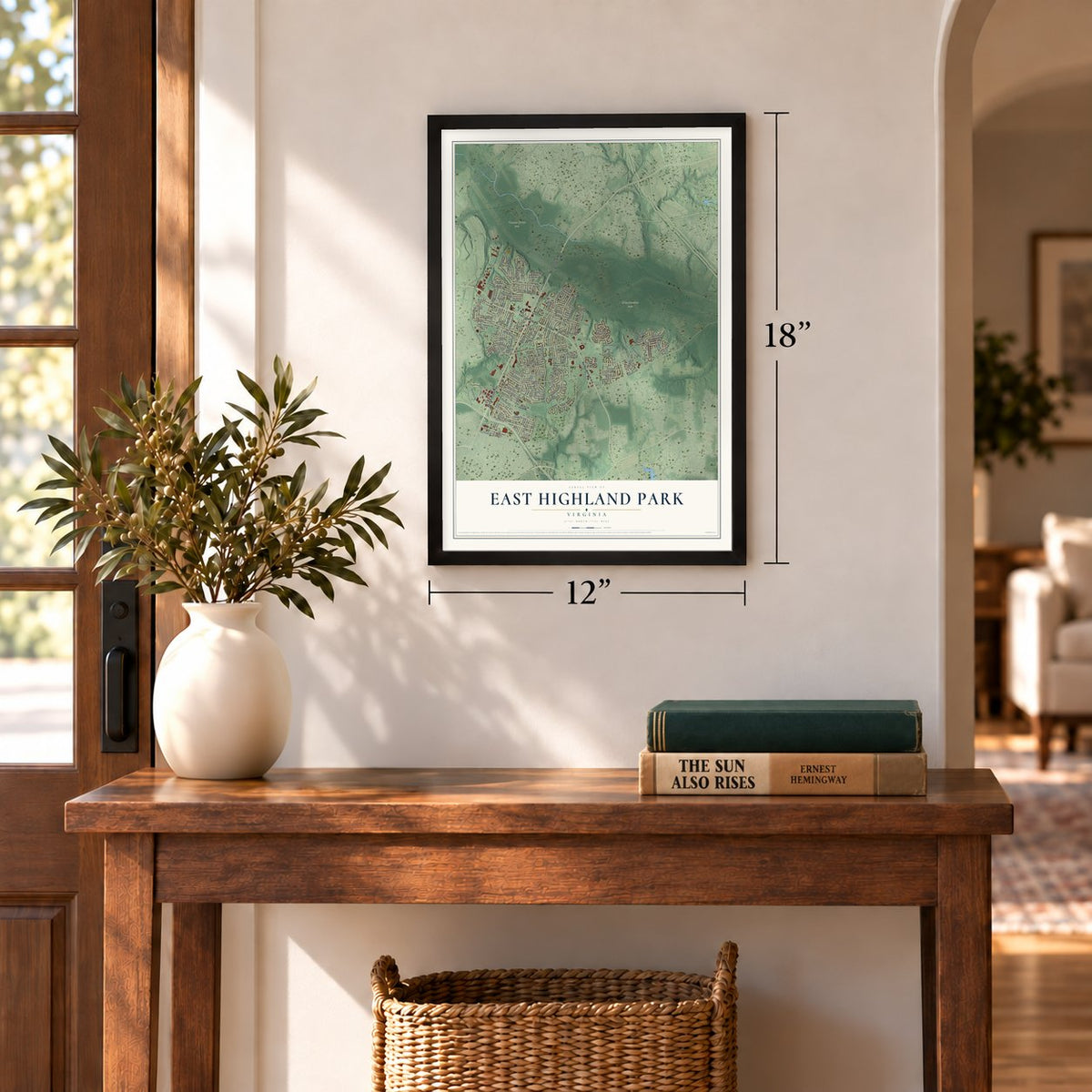
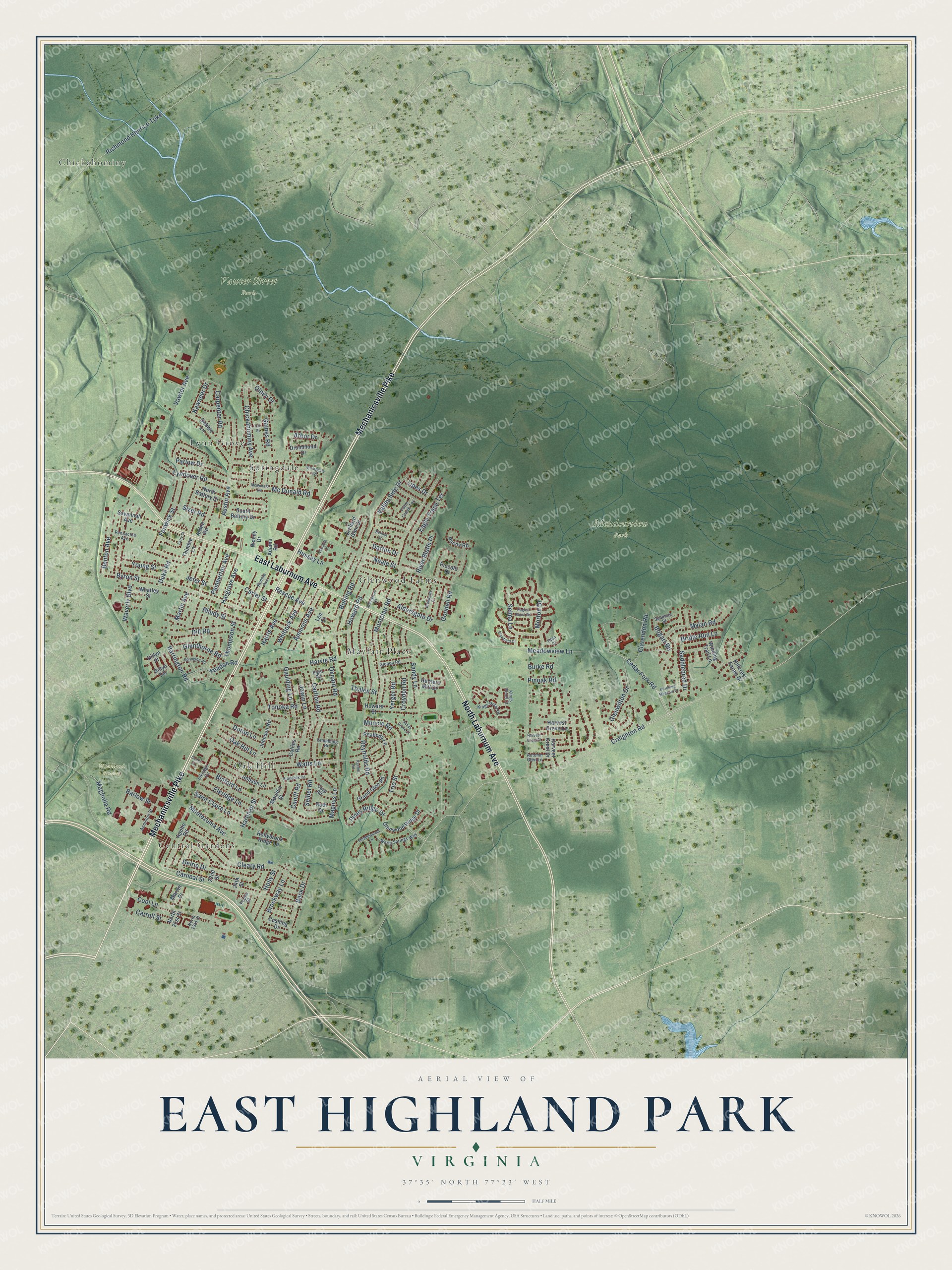
A new map of East Highland Park, Virginia, made in 2026 and printed to order on thick archival matte paper.
12" x 18" Archival Matte Print
A Map of Home. A Work of Art.
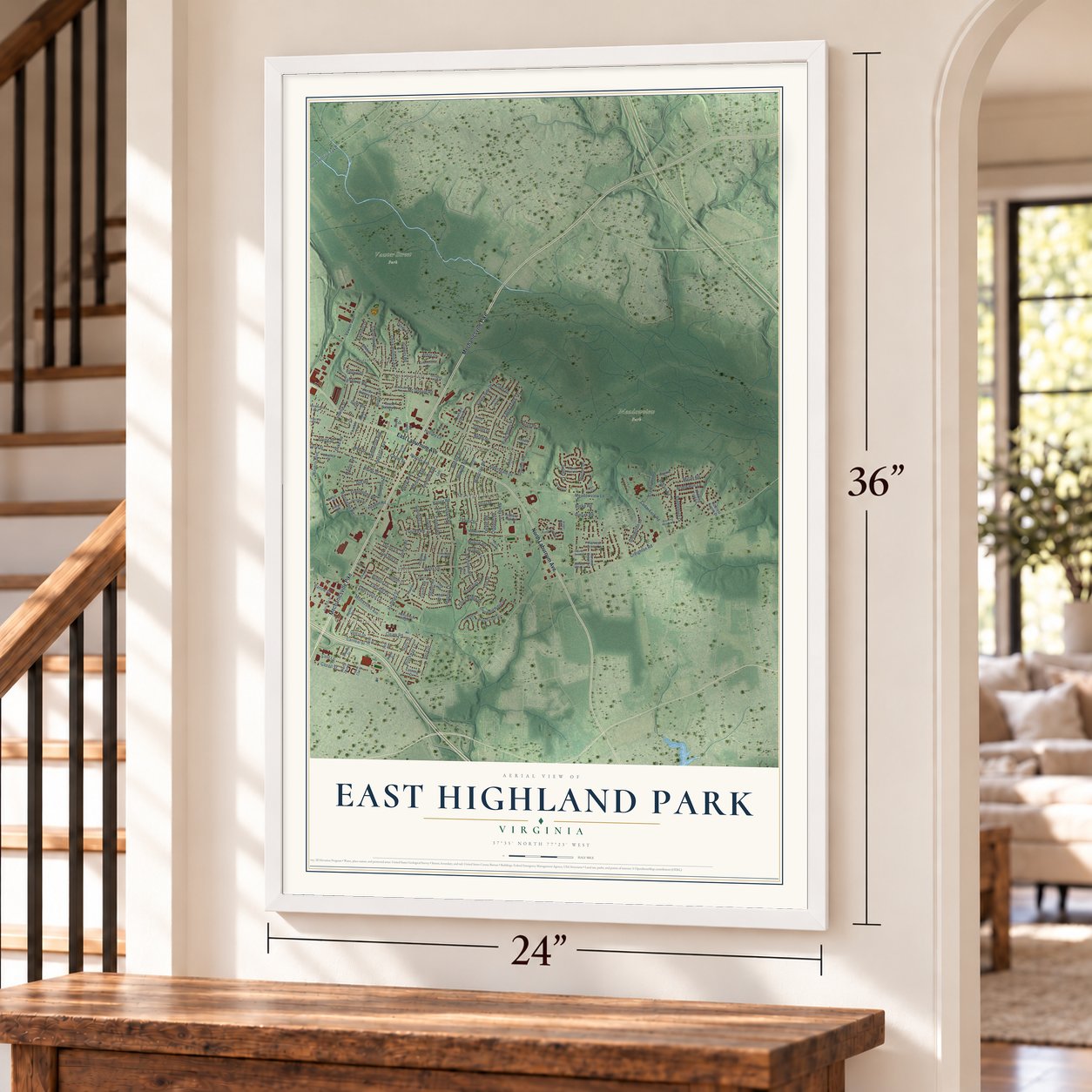
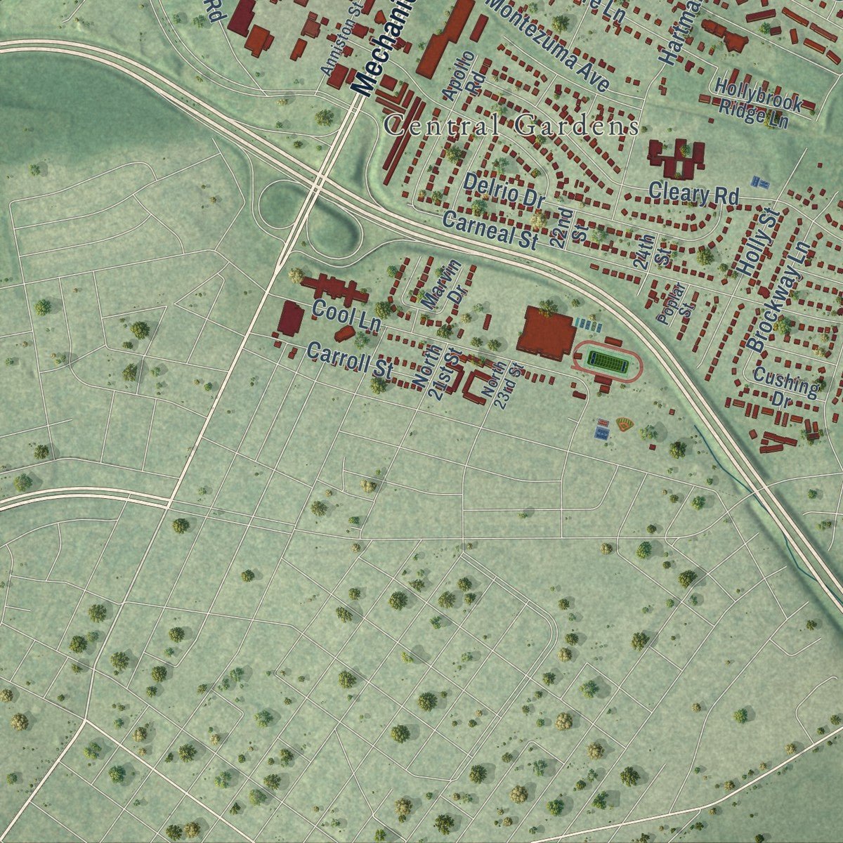
Explore East Highland Park, Virginia from a whole new perspective. Created using aerial imagery and detailed geographic data, this map captures East Highland Park building by building, with labeled streets, familiar landmarks, and shaded topographical relief that highlights the natural contours of the landscape.
Combining modern data with the timeless character of a vintage atlas, this map is just as interesting up close as it is beautiful on the wall. Whether you grew up in East Highland Park, spent memorable years there, or call it home today, this unique map is a great way to celebrate a place that means something to you. Zoom in on the preview to look for your street, and then order a print to put your memories on the wall.
Three ways to hang it
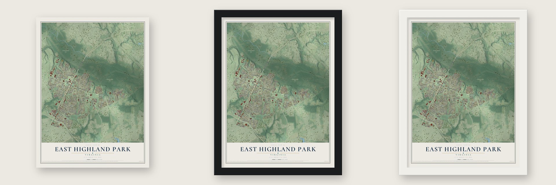
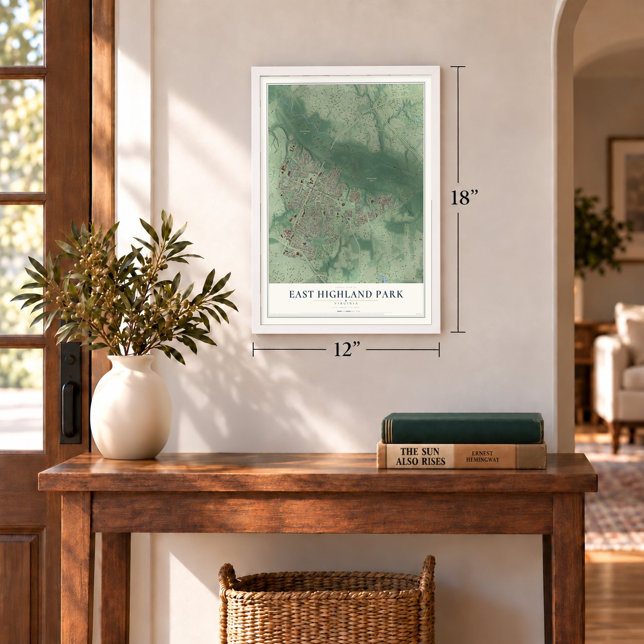
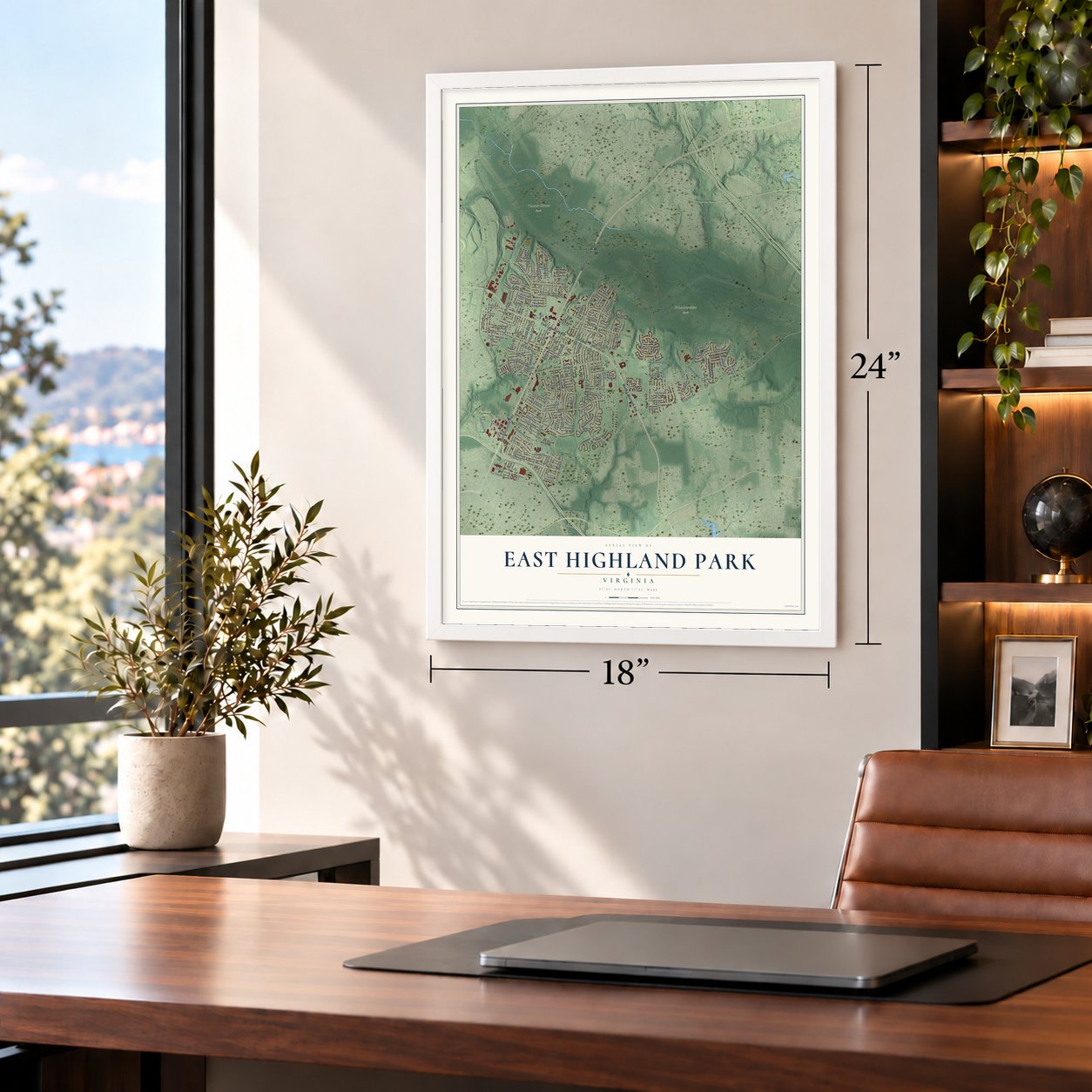
Unframed archival matte, a black wood frame or a white wood frame.
Up close
Geography Worth Displaying
This map was created using accurate cartographic data and authoritative geographic sources, including the U.S. Geological Survey and the Census Bureau. The map brings together terrain, waterways, roads, and building detail. The majority of the streets are labeled, houses are accurately depicted, and the topography is derived from government sources. Combining local data with carefully composed color and shading leads to this beautifully detailed East Highland Park artwork for your wall.
Rather than simply showing street outlines, we’ve included as many of the street names as we could reasonably fit on the map while keeping their names legible. Zoom in on the high resolution preview to see exactly what’s on the map. We truly set out to create a statement piece for anyone who loves East Highland Park. So whether it’s for you, or a gift for someone you love, we hope this map of East Highland Park brings back fond memories.
Read the story behind this map of East Highland Park, Virginia from 2026.

Find your street
Names on the East Highland Park map
Every name below is printed on this map. Look for your street, your school, the park where you played, or the pond down the road.
Places and landmarks10
- Chickahominy
- Central Gardens
- Meadowview Park
- Vawter Street Park
- Woodland Cemetery
- Glenwood Farms
- Lynn Grove
- Mayfair Place
- Oak Hill
- Springdale
Streets and roads169
- Mechanicsville Pike
- East Laburnum Avenue
- North Laburnum Avenue
- Cedar Fork Road
- Meadowview Lane
- Olney Drive
- Creighton Road
- Harvie Road
- Vawter Avenue
- Watts Lane
- Austin Avenue
- Byron Street
- Montclair Road
- Bolling Road
- Sandy Lane
- Reynolds Road
- Neale Street
- Carneal Street
- Cleary Road
- Fenwick Street
- Binford Lane
- Dill Road
- Hargrove Avenue
- Howard Road
- Carlton Road
- Yeadon Road
- Hartman Street
- Carter Street
- Elkridge Lane
- Chickahominy Avenue
Show all 169 streets
- Oak Hill Lane
- Pemberton Avenue
- Oxnard Road
- Holly Street
- Goodell Road
- Thompson Street
- Harris Avenue
- Martin Avenue
- Cool Lane
- Mylan Road
- Saint Claire Lane
- Doron Lane
- Richmond Henrico Turnpike
- Delrio Drive
- Morton Drive
- Barrington Road
- Croydon Road
- Bogart Road
- Benton Avenue
- Parlow Drive
- Tonoka Road
- Gaines Road
- Rhudy Street
- Muncie Road
- Gaulding Lane
- Beck Drive
- Lyndover Road
- Whitlock Avenue
- Selma Lane
- Ammons Avenue
- Rescue Avenue
- Valley Side Drive
- Young Street
- Trio Street
- Jowin Lane
- Yerger Road
- Waverly Boulevard
- Brockway Lane
- Mc Donald Road
- Montezuma Avenue
- Aldersgate Drive
- Glenthorne Road
- Carpenter Road
- Pinoak Road
- Saddlebred Drive
- Clarendon Road
- Glenwilton Drive
- Eagle Trace Terrace
- Hussey Lane
- Darton Drive
- Sizer Road
- Carroll Street
- Magnolia Road
- Magnus Lane
- Seibel Road
- Thalen Street
- Burke Road
- Barlow Street
- Jeter Street
- Arbor Drive
- Piney Ridge Drive
- River Bluffs Place
- Bridle Run Lane
- Kawneer Drive
- Duke Road
- Caniff Road
- Lipes Drive
- North Battery Drive
- Glenwood Ridge Drive
- Debbie Lane
- Savannah Avenue
- Peabody Lane
- South Battery Drive
- Hobson Lane
- Howard Street
- Johnson Road
- Harvest Grove Lane
- Apollo Road
- Whatley Street
- Arden Road
- Harvest Crest Drive
- Hunters Mill Drive
- Mauldin Street
- Hillcrest Farms Drive
- Hollybrook Ridge Lane
- Grand Glen Road
- Winding Trail Lane
- Orchard Glen Drive
- Adams Road
- Drummond Drive
- Purvis Road
- Thimble Lane
- Woody Drive
- Cushing Drive
- Collins Road
- Rudi Drive
- Marvin Drive
- Piccolo Drive
- Dillyn Terrace
- Dillyn Place
- North 21st Street
- 24th Street
- 22nd Street
- Len Court
- Kings Point Court
- Ronnie Avenue
- Warm Springs Way
- Elkridge Circle
- Kings Point Drive
- Glenoa Road
- Pensacola Avenue
- Anniston Street
- Capp Road
- Grambling Road
- Autumn Glen Lane
- Farm Creek Terrace
- Seamore Street
- Elgin Road
- Olan Court
- North 23rd Street
- Poplar Street
- Springdale Road
- Broadgate Drive
- McDonald Road
- Meadowmont Lane
- Elfstone Lane
- Springton Road
- Eagles Roost Road
- Brooking Meadow Drive
- Braddock Road
- Arborgrove Court
- Harvest Crest Court
- Plowfield Court
- Sandy Grove Court
- Ott Street
- Rachel Road
- Larry Street
- Colter Drive
- Bolling Court
Names are listed as they appear on the printed map. Zoom into the product photos to find them.
The art of mapping a place
How This Map Was Made
Real places. Remarkable detail. Discover the layers that turn geographic data into a map of home.

The view from above
Aerial imagery reveals the character of the land: woodland, open fields, and the patterns of a place.

The shape of the land
Elevation data brings hills, valleys, and subtle changes in the landscape into view.

The details of home
Roads, waterways, and building footprints come together to make the map feel unmistakably local.

Geography becomes art
Considered color, shading, and typography bring the layers together in a map made for your wall.


Process illustrated with Mendon, Massachusetts. Aerial imagery: USDA NAIP. Terrain: USGS 3D Elevation Program. Map details and finished artwork: KNOWOL.
The Details
About This Print
Choose an archival matte print, or a black or white Ayous wood frame. The archival matte print is unframed.
Select your size and finish above to see the matching product image and price.
Materials & Craftsmanship
A contemporary map with the character of a classic atlas, printed on archival matte paper. Optional frames are made from Ayous wood.
Your printed map does not include the watermark shown in the full-map preview.
Shipping & Delivery
Free shipping within the United States. Every print is made to order in the USA.
Buying a gift? Add a note in your cart and we'll include it. We never put prices in the package.
Prints ship within 2 to 3 business days. Allow 7 to 10 days total from ordering for delivery. Timing may vary during holidays or periods of high order volume.
Read our shipping policy.
Returns and damaged prints
Each print is made to order. Change-of-mind refunds are not available after production.
If your print arrives damaged, misprinted or incorrect, contact support@knowol.com within 30 days of receiving it. Include your order number, photos and a description of the issue.
Read our full refund and replacement policy. For questions about your order, email support@knowol.com.
Find your town
Looking for another city?
Find a map of home in our Virginia collection, or any town in the country.
Nearby
Maps of towns near East Highland Park
Know someone from one of these towns? Their map makes a great gift.
 Highland Springs
, Virginia
From $39.99See the map
 Mechanicsville
, Virginia
From $39.99See the map
 Montrose
, Virginia
From $39.99See the map
More maps nearby: Chamberlayne, Sandston, Lakeside, Richmond and Dumbarton.