
Search for another town




Free U.S. delivery 7 to 10 days after you order
Brentwood, New York Map Art
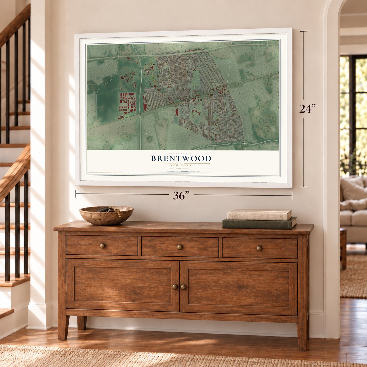
A new map of Brentwood, New York, made in 2026 and printed to order on thick archival matte paper.
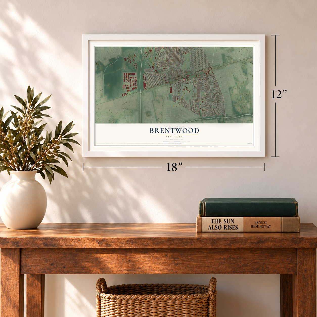
12" x 18" Archival Matte Print
A Map of Home. A Work of Art.
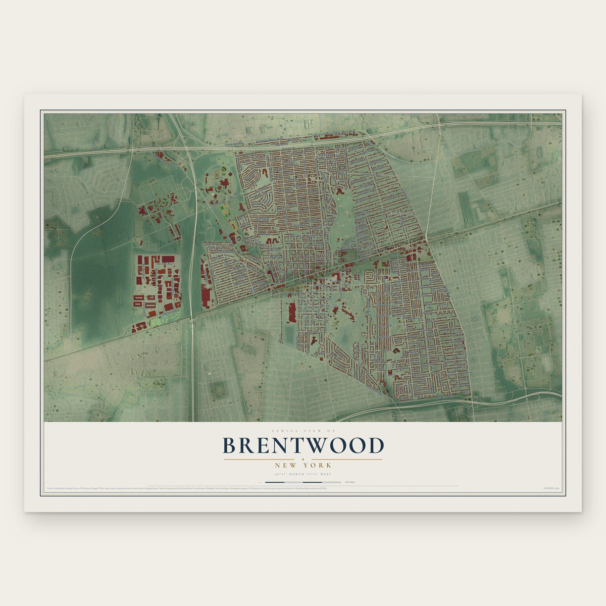
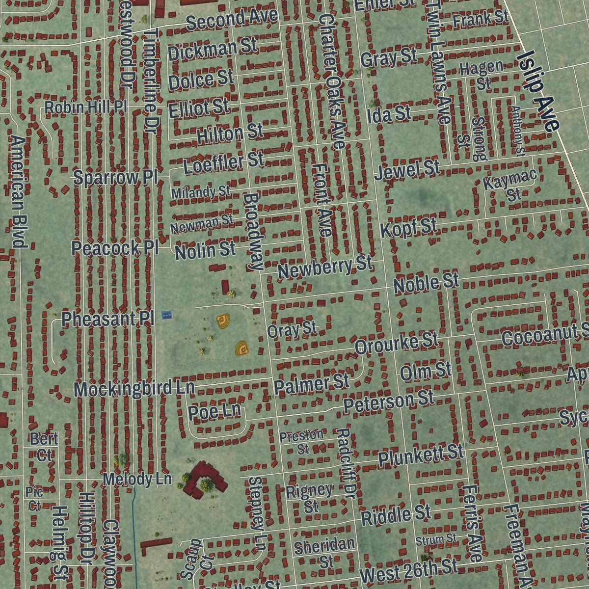
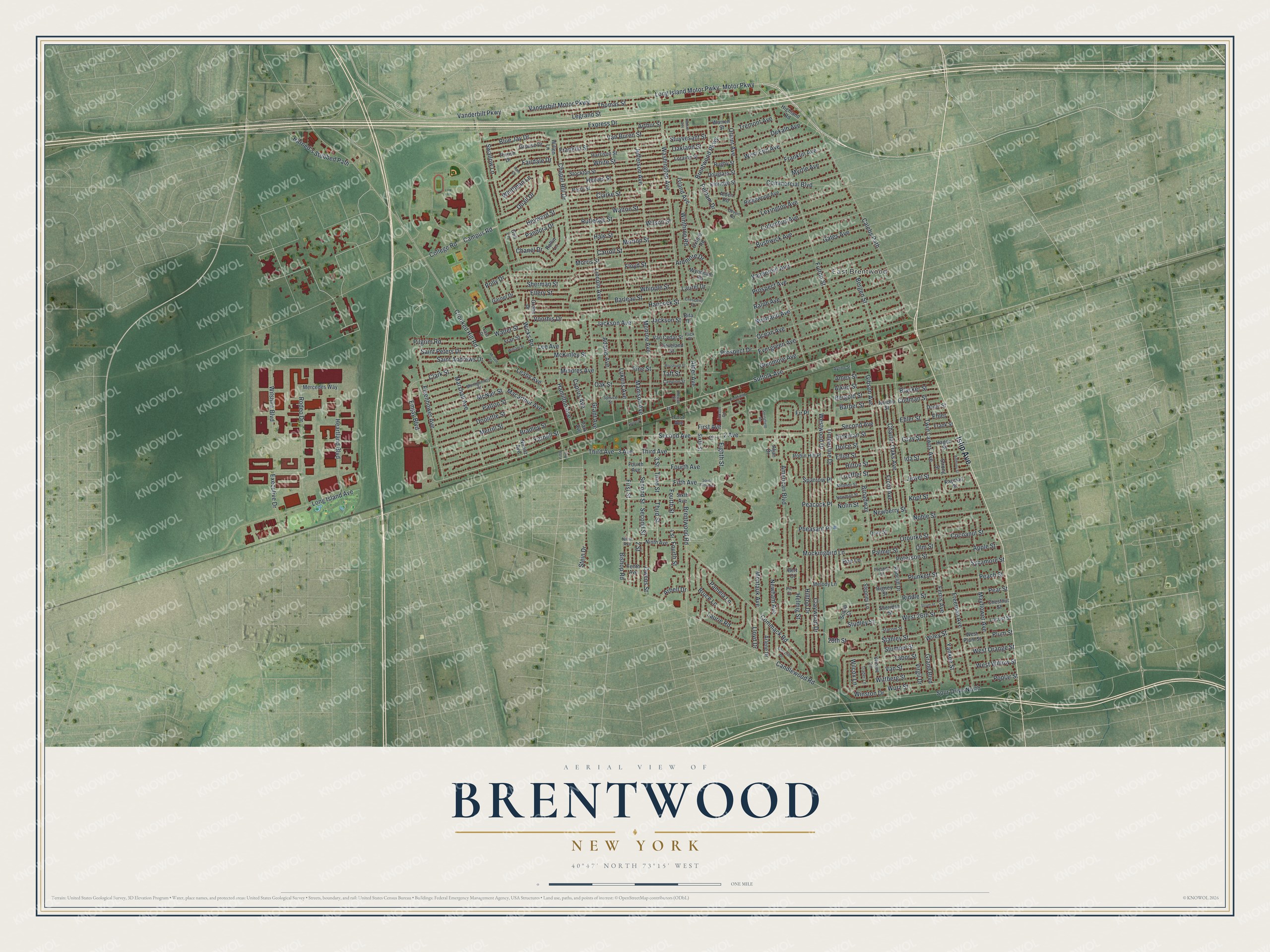
Explore Brentwood, New York from a whole new perspective. Created using aerial imagery and detailed geographic data, this map captures Brentwood building by building, with labeled streets, familiar landmarks, and shaded topographical relief that highlights the natural contours of the landscape.
Combining modern data with the timeless character of a vintage atlas, this map is just as interesting up close as it is beautiful on the wall. Whether you grew up in Brentwood, spent memorable years there, or call it home today, this unique map is a great way to celebrate a place that means something to you. Zoom in on the preview to look for your street, and then order a print to put your memories on the wall.
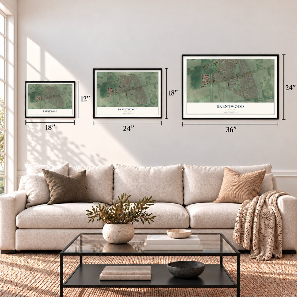
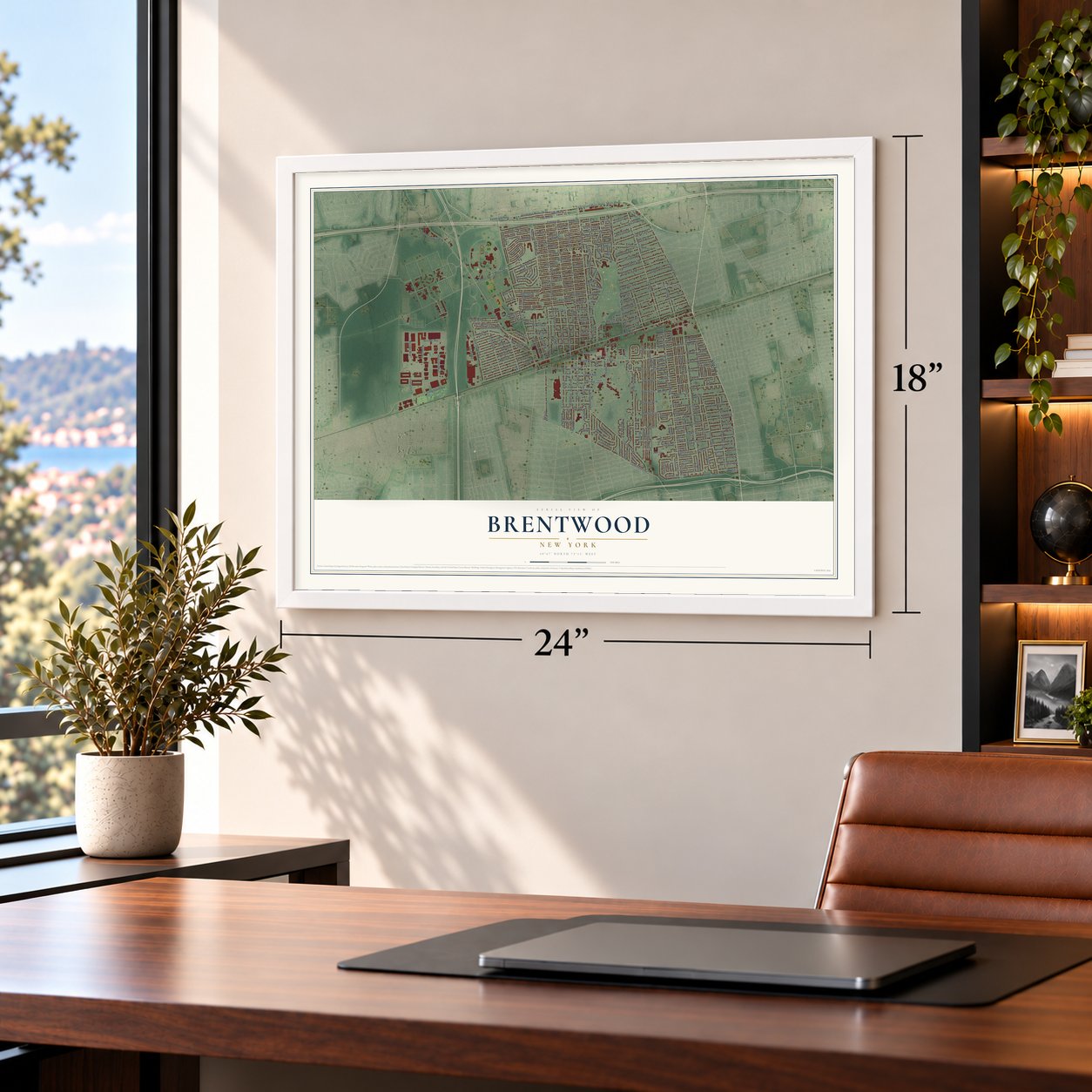
Three ways to hang it
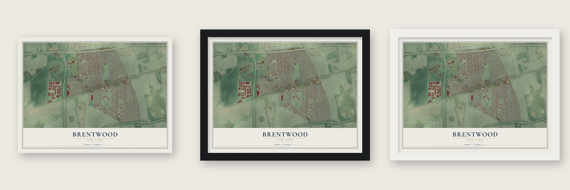
Unframed archival matte, a black wood frame or a white wood frame.
Up close
Geography Worth Displaying
This map was created using accurate cartographic data and authoritative geographic sources, including the U.S. Geological Survey (USGS) and FEMA. The map brings together terrain, waterways, roads, and building detail. The majority of the streets are labeled, houses are accurately depicted, and the topography is derived from government sources. Combining local data with carefully composed color and shading leads to this beautifully detailed Brentwood artwork for your wall.
Rather than simply showing street outlines, we’ve included as many of the street names as we could reasonably fit on the map while keeping their names legible. Zoom in on the high resolution preview to see exactly what’s on the map. We truly set out to create a statement piece for anyone who loves Brentwood. So whether it’s for you, or a gift for someone you love, we hope this map of Brentwood brings back fond memories.
Explore the full map of Brentwood, New York and read about the local places it shows.

Find your street
Names on the Brentwood map
Every name below is printed on this map. Look for your street, your school, the park where you played, or the pond down the road.
Places and landmarks1
- East Brentwood
Streets and roads294
- Islip Avenue
- Suffolk Avenue
- Long Island Motor Pwky
- Motor Parkway
- Second Avenue
- Second Street
- Third Avenue
- Emjay Boulevard
- 2 Avenue
- 3 Street
- Hancock Street
- Eisenhower Avenue
- Eighth Street
- Clark Street
- Express Drive
- Crooked Hill Road
- Vanderbilt Motor Parkway
- Vanderbilt Parkway
- Wicks Road
- Grand Boulevard
- Broadway
- Brentwood Parkway
- Washington Avenue
- Madison Avenue
- Jefferson Avenue
- Hilltop Drive
- Candlewood Road
- Claywood Drive
- Fulton Street
- Commack Road
Show all 294 streets
- Calebs Path
- Brentwood Road
- American Boulevard
- Lincoln Avenue
- Freeman Avenue
- Timberline Drive
- Westwood Drive
- Chapel Hill Drive
- Spur Drive North
- Fifth Avenue
- Heyward Street
- Fourth Street
- Floyd Street
- Sherman Street
- Ellery Street
- Glenmore Avenue
- Evergreen Avenue
- Noble Street
- First Street
- McKinley Street
- Ocean Avenue
- Barleau Street
- Stahley Street
- Nostrand Avenue
- Ralph Avenue
- Thomas Street
- Mayflower Avenue
- Gibson Avenue
- Prospect Avenue
- Grant Avenue
- Heartland Boulevard
- Vanderbilt Avenue
- Merrill Street
- Charter Oaks Avenue
- Front Avenue
- 2 Street
- Campus Road
- College Road
- Gates Avenue
- Peterson Street
- Yarnell Street
- Third Street
- Bradley Street
- Marshall Avenue
- Studley Street
- Long Island Avenue
- Rodeo Drive
- Bushwick Avenue
- Riddle Street
- Stein Drive
- Lexington Avenue
- Whipple Street
- Columbus Avenue
- Carroll Street
- Orient Avenue
- 28th Street
- Clarke Street
- Lukens Avenue
- Commercial Boulevard
- Morton Street
- Arthur Street
- Van Buren Street
- Franklin Street
- White Street
- Hewes Street
- Walton Street
- Rutledge Street
- Wilson Street
- Hale Street
- Harned's Stubbed Path
- Macarthur Avenue
- Adams Avenue
- Doolittle Street
- Alkier Street
- Wurz Street
- Morris Street
- Ferris Avenue
- Wilshire Boulevard
- McNair Street
- Monroe Avenue
- Jackson Avenue
- Jackson Street
- Patton Street
- Franklin Avenue
- Plunkett Street
- Bergen Street
- West End Avenue
- Legrand Street
- Bruce Lane
- Blue Jay Drive
- West 26th Street
- Twin Lawns Avenue
- 3 Avenue
- Tabor Street
- Swallow Lane
- Winston Drive
- Kopf Street
- Executive Drive
- Fourth Avenue
- Fairdale Drive
- Orourke Street
- Quail Drive
- Stuyvesant Street
- Mockingbird Lane
- Oakland Street
- Helmig Street
- Dekalb Avenue
- Laurie Road
- Jewel Street
- Pelham Drive
- West Orange Street
- Oak Street
- Yankee Street
- Saint Andrews Drive
- Prospect Drive
- Hamilton Avenue
- Winthrop Road
- Pilgrim Road
- Saint Peters Drive
- Apple Street
- Pandora Drive
- Sycamore Street
- Gray Street
- Pine Street
- Peach Street
- Cocoanut Street
- Leahy Avenue
- Mindres Avenue
- Pear Street
- Owens Street
- Pamela Lane
- Voorhis Drive
- Walter Street
- Pheasant Place
- First Avenue
- Plum Street
- Nolin Street
- West Willow Street
- Newham Avenue
- Montauk Avenue
- Myrtle Avenue
- Poplar Street
- Ardmore Drive
- Loeffler Street
- Codman Street
- Chanel Drive
- Wittberg Street
- Stumpel Street
- Tremont Avenue
- Newberry Street
- Bishop Road
- Hilton Street
- Whittman Lane
- Blacker Street
- Elliot Street
- Lloyd Drive
- Palmer Street
- Dolce Street
- Fir Place
- Dickman Street
- Cyprus Avenue
- Virgil Drive
- Alder Avenue
- Wiley Street
- Barber Street
- Bergold Street
- Ida Street
- Island Avenue
- Sparrow Place
- Peacock Place
- Ames Street
- Laurel Drive
- Van Street
- Arbell Drive
- Polly Drive
- Ehler Street
- Wilcox Lane
- Lee Avenue
- Poe Lane
- Ehler
- Taft Street
- Olm Street
- Garnet Drive
- Stockton Street
- Harrison Street
- Perry Street
- Ridgewood Avenue
- Van Cedar Street
- Radcliff Drive
- Loraine Street
- Rugby Street
- Warren Street
- Nimitz Avenue
- Sixth Avenue
- 4 Street
- Robin Hill Place
- Grouse Drive
- Thrush Drive
- Park Avenue
- Chestnut Street
- Ninth Avenue
- Locust Street
- Highland Road
- West Plum Street
- Stepney Lane
- Winnie Lane
- Melody Lane
- Douglass Street
- Wyndham Road
- Kaymac Street
- Mercedes Way
- Arlene Drive
- Cleveland Street
- Eldridge Street
- Gull Lane
- Rollin Lane
- Hagen Street
- Willen Lane
- Strong Street
- Tenth Avenue
- Aljan Drive
- Jericho Street
- Frank Street
- Grahn Drive
- Fran Street
- Alden Road
- Sixth Street
- Oxford Road
- Sheridan Street
- Rigney Street
- Scaup Court
- Dame Street
- Oray Street
- 7 Street
- Rita Drive
- Bert Court
- Newman Street
- Montgomery Street
- Spruce Street
- Fairfield Circle
- Milandy Street
- East Drive
- Lincoln Road
- Trader Lane
- Crescent Drive
- Campion Street
- Stacom Street
- Preston Street
- Ayling Street
- Reese Street
- Devon Road
- Pic Court
- Flick Place
- South Fifth Avenue
- Springfield Road
- Hudson Avenue
- Churchill Drive
- William Street
- Roosevelt Street
- Anthony Street
- Strum Street
- McGee Street
- Quinn Place
- Ram Court
Names are listed as they appear on the printed map. Zoom into the product photos to find them.
The art of mapping a place
How This Map Was Made
Real places. Remarkable detail. Discover the layers that turn geographic data into a map of home.

The view from above
Aerial imagery reveals the character of the land: woodland, open fields, and the patterns of a place.

The shape of the land
Elevation data brings hills, valleys, and subtle changes in the landscape into view.

The details of home
Roads, waterways, and building footprints come together to make the map feel unmistakably local.

Geography becomes art
Considered color, shading, and typography bring the layers together in a map made for your wall.


Process illustrated with Mendon, Massachusetts. Aerial imagery: USDA NAIP. Terrain: USGS 3D Elevation Program. Map details and finished artwork: KNOWOL.
The Details
About This Print
Choose an archival matte print, or a black or white Ayous wood frame. The archival matte print is unframed.
Select your size and finish above to see the matching product image and price.
Materials & Craftsmanship
A contemporary map with the character of a classic atlas, printed on archival matte paper. Optional frames are made from Ayous wood.
Your printed map does not include the watermark shown in the full-map preview.
Shipping & Delivery
Free shipping within the United States. Every print is made to order in the USA.
Buying a gift? Add a note in your cart and we'll include it. We never put prices in the package.
Prints ship within 2 to 3 business days. Allow 7 to 10 days total from ordering for delivery. Timing may vary during holidays or periods of high order volume.
Read our shipping policy.
Returns and damaged prints
Each print is made to order. Change-of-mind refunds are not available after production.
If your print arrives damaged, misprinted or incorrect, contact support@knowol.com within 30 days of receiving it. Include your order number, photos and a description of the issue.
Read our full refund and replacement policy. For questions about your order, email support@knowol.com.
Find your town
Looking for another city?
Find a map of home in our New York collection, or any town in the country.
Nearby
Maps of towns near Brentwood
Know someone from one of these towns? Their map makes a great gift.
 North Bay Shore
, New York
From $39.99See the map
 Baywood
, New York
From $39.99See the map
 Central Islip
, New York
From $39.99See the map
More maps nearby: Hauppauge, Bay Shore, Deer Park, Islip Terrace and Commack.