
Search for another town


Free U.S. delivery 7 to 10 days after you order
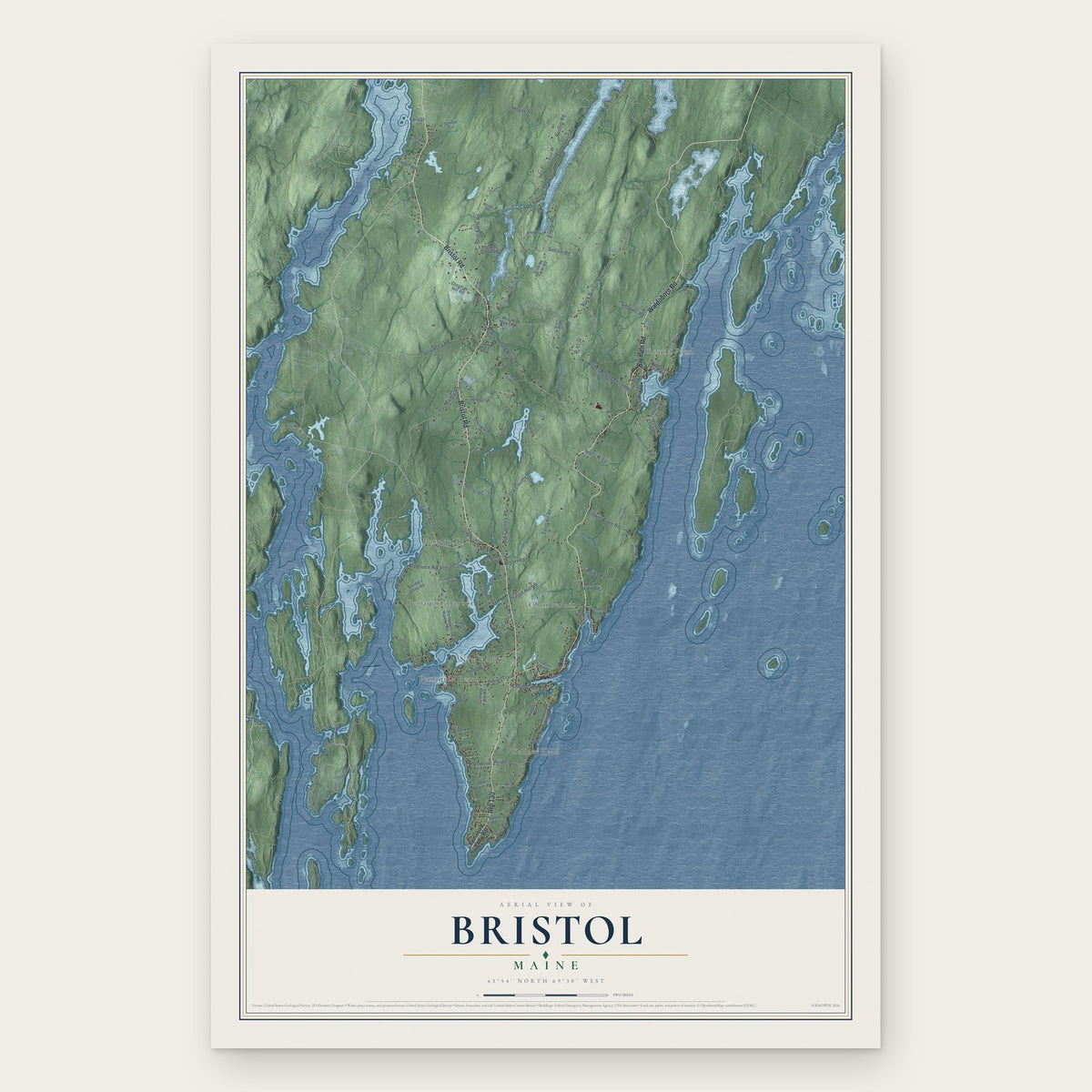
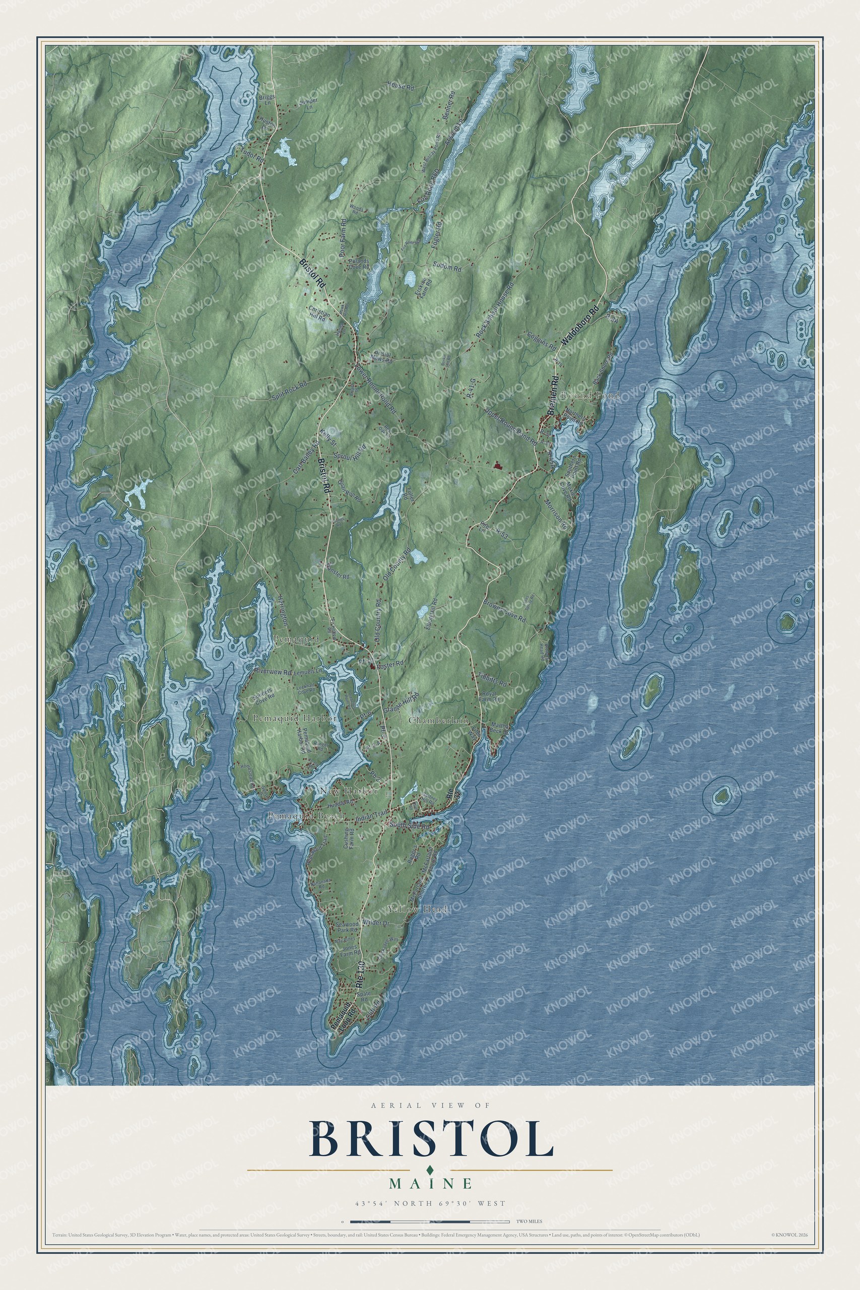
Bristol, Maine Map Art
Building by building, with labeled streets and shaded relief.
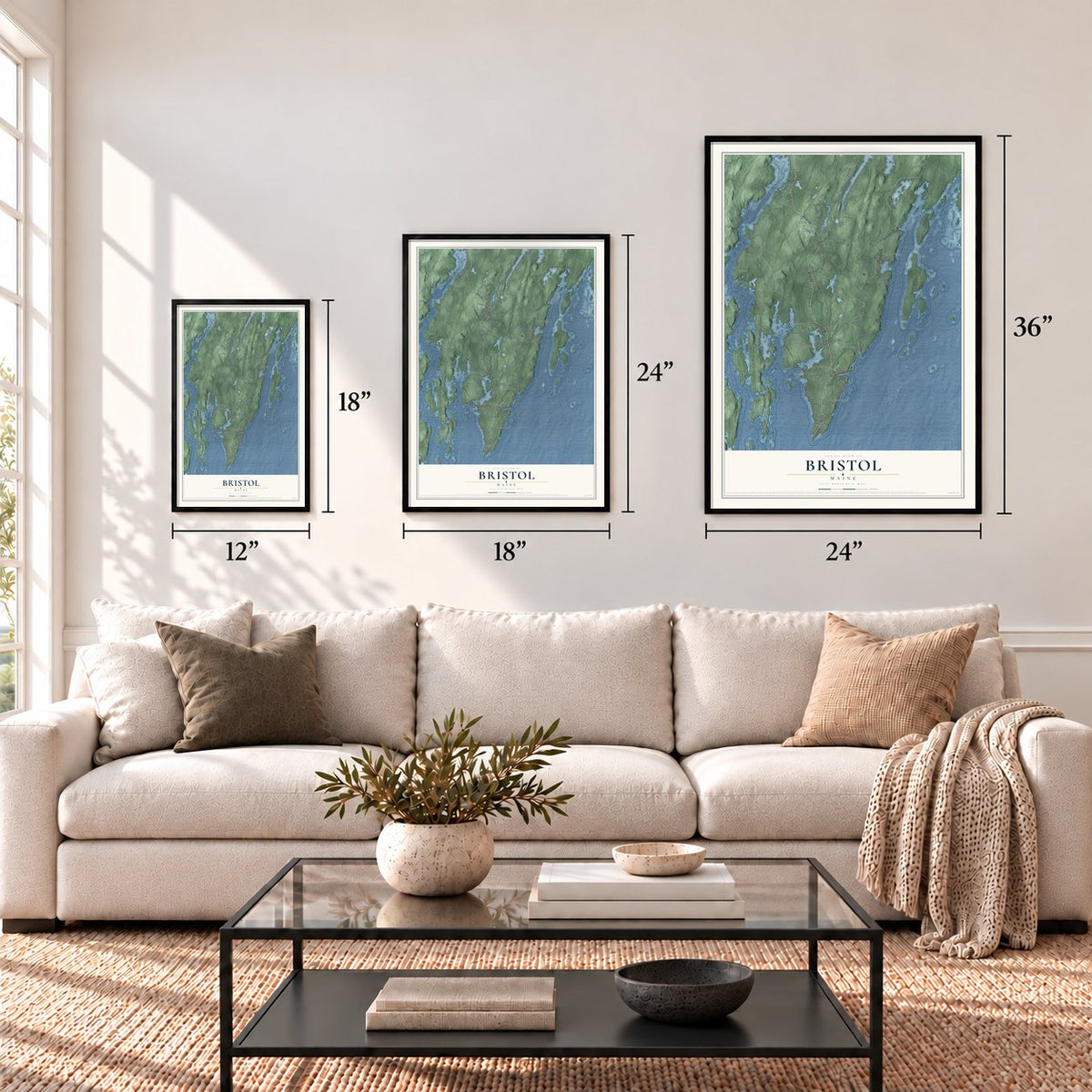
12" x 18" Archival Matte Print
A Map of Home. A Work of Art.
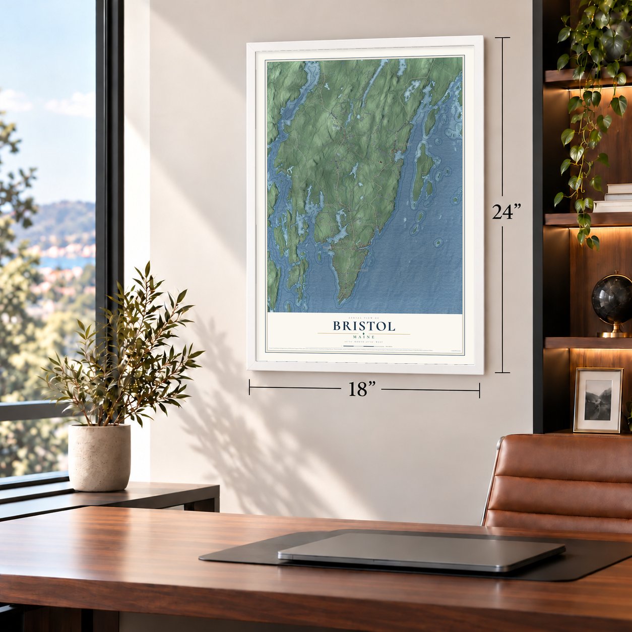
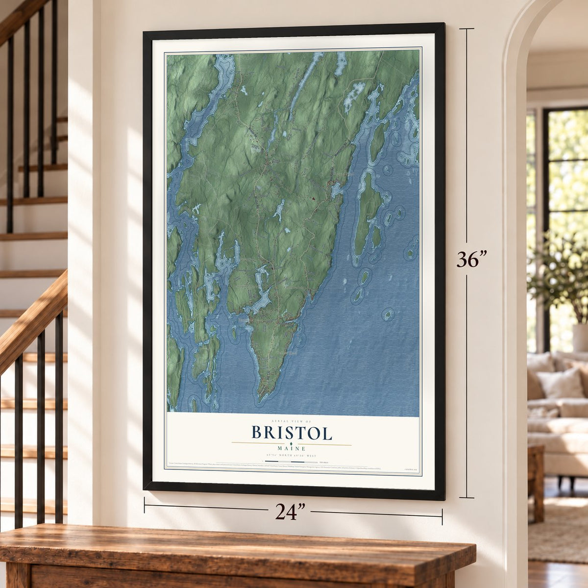
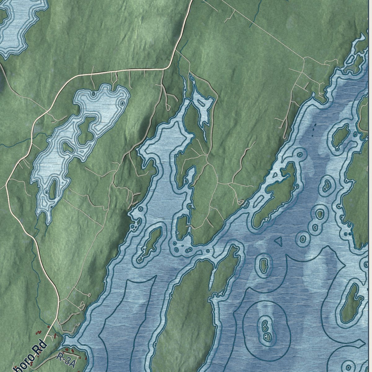
Explore Bristol, Maine from a whole new perspective. Created using aerial imagery and detailed geographic data, this map captures Bristol building by building, with labeled streets, familiar landmarks, and shaded topographical relief that highlights the natural contours of the landscape.
Combining modern data with the timeless character of a vintage atlas, this map is just as interesting up close as it is beautiful on the wall. Whether you grew up in Bristol, spent memorable years there, or call it home today, this unique map is a great way to celebrate a place that means something to you. Zoom in on the preview to look for your street, and then order a print to put your memories on the wall.
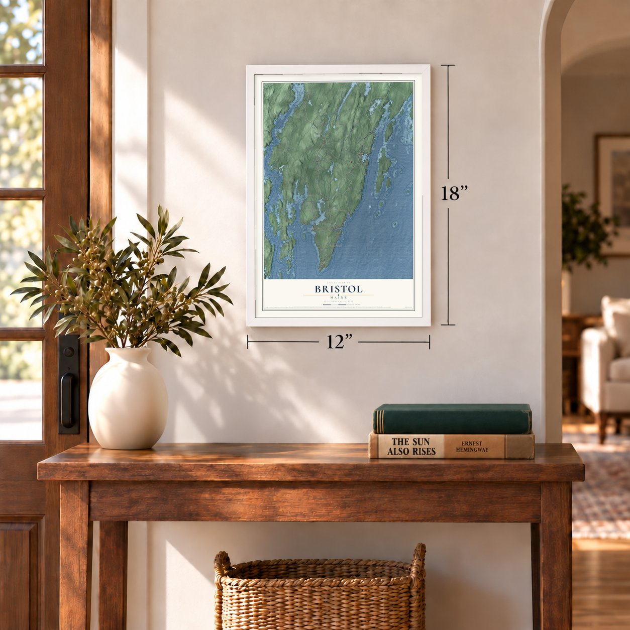
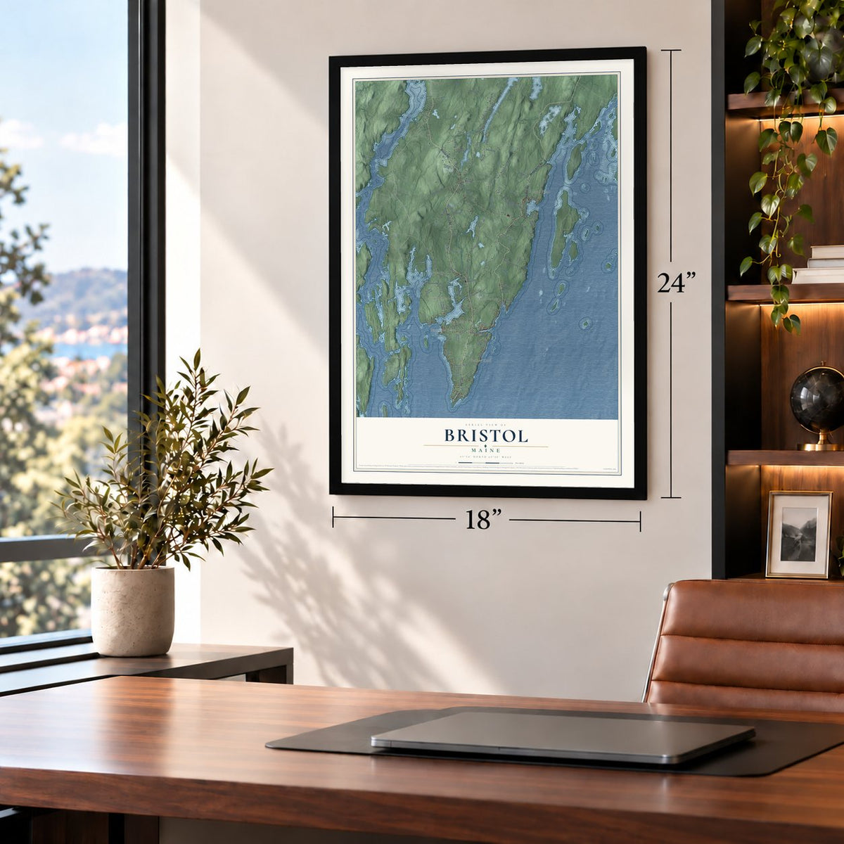
Three ways to hang it
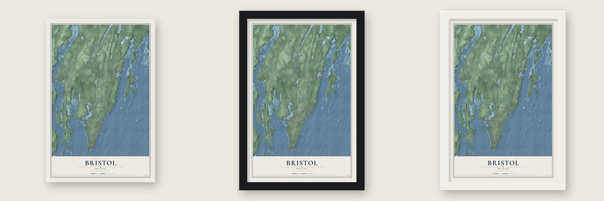
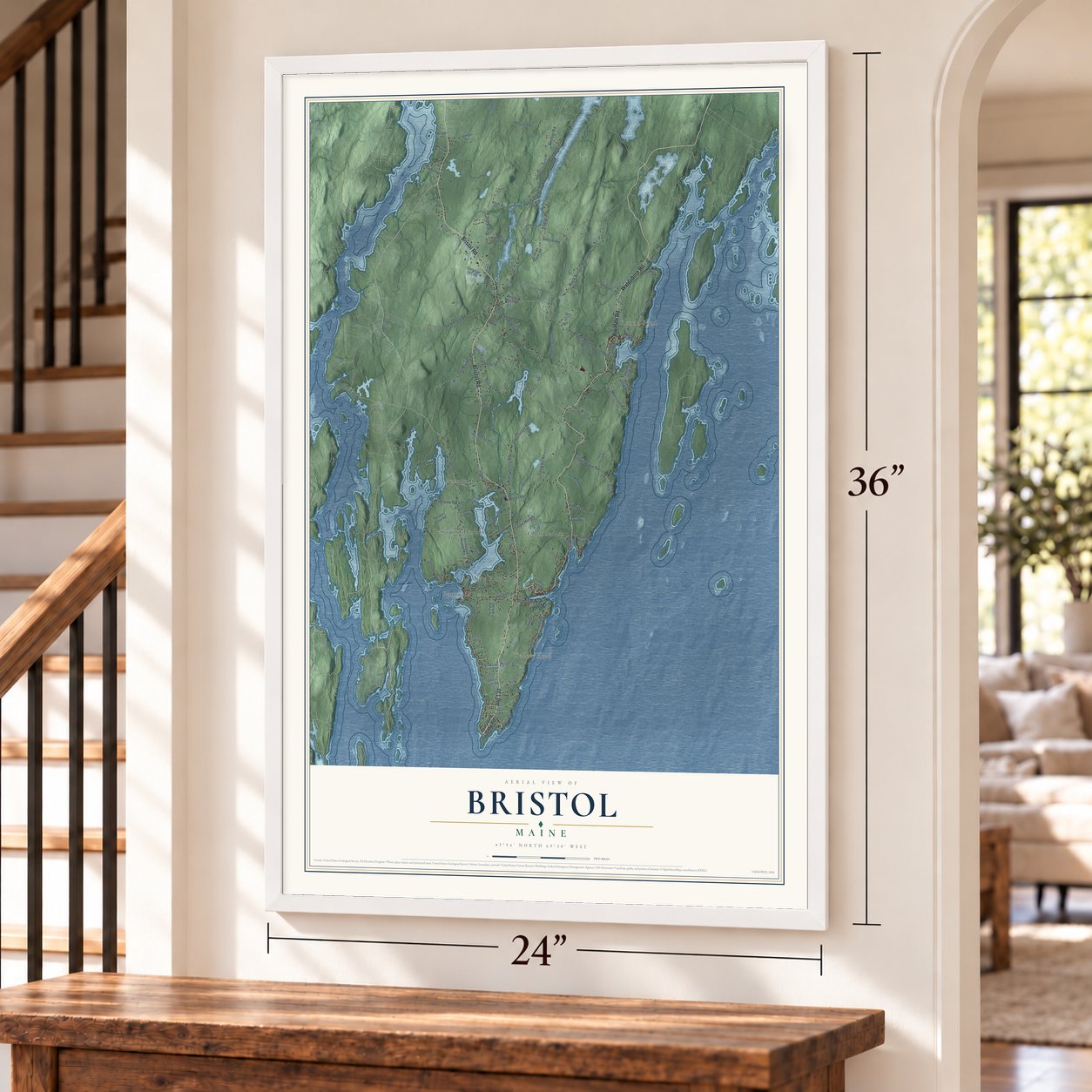
Unframed archival matte, a black wood frame or a white wood frame.
Up close
Geography Worth Displaying
This map was created using accurate cartographic data and authoritative geographic sources, including the U.S. Geological Survey (USGS) and FEMA. The map brings together terrain, waterways, roads, and building detail. The majority of the streets are labeled, houses are accurately depicted, and the topography is derived from government sources. Combining local data with carefully composed color and shading leads to this beautifully detailed Bristol artwork for your wall.
Rather than simply showing street outlines, we’ve included as many of the street names as we could reasonably fit on the map while keeping their names legible. Zoom in on the high resolution preview to see exactly what’s on the map. We truly set out to create a statement piece for anyone who loves Bristol. So whether it’s for you, or a gift for someone you love, we hope this map of Bristol brings back fond memories.
Explore the full map of Bristol, Maine and read about the local places it shows.

Find your street
Names on the Bristol map
Every name below is printed on this map. Look for your street, your school, the park where you played, or the pond down the road.
Places and landmarks7
- Round Pond
- Pemaquid
- Pemaquid Beach
- Pemaquid Harbor
- Chamberlain
- Yellow Head
- New Harbor
Streets and roads98
- Bremen Road
- Bristol Road
- Waldoboro Road
- Route 130
- Harrington
- Old Country Road
- Pf-10
- Benner Road
- Old County Road
- Upper Round Pond Road
- Lower Round Pond Road
- Rock School House Road
- Foster Road
- Sproul Hill Road
- Poor Farm Road
- Sodom Road
- Split Rock Road
- Tibbitts Road
- Browns Cove Road
- Fogler Road
- Atwood Lane
- Carl Bailey Road
- Morrison Road
- Riverview Road
- House Road
- South Side Road
- R-53
- Granite Hill Road
- Coggins Road
- Wilder Drive
Show all 98 streets
- R-41-G
- Kelly Street
- Indian Trail
- Pf-3
- Tudor Road
- Pf-6
- Cliff Road
- Pb 2
- Route 32
- Pemaquid Loop Road
- McFarland Shore Road
- Northern Point Road
- Files Way
- Pemaquid Harbor Road
- Back Shore Road
- Pemaquid Trail
- Quail Run Road
- Huddle Road
- Elliott Hill Road
- Seawood Park Road
- McFarland Shore
- Fire Lane
- Moxie Cove Road
- Royal Farm Road
- Soliders Cove Road
- Juniper Lane
- Christian Hill Road
- Lemuels Lane
- Erskine Farm Road
- Martha Beck Drive
- Bristol Mews Road
- Transfer Road
- Polands Cove Road
- Southern Point Road
- Cushing Farm Road
- Spate Road
- Jones Farm Road
- Huston Lane
- Pf-3-A
- Roger's Road
- Fuller Road
- Briggs Lane
- R-37
- Ranger Road
- West Biscay Pond Road
- Chickadee Way
- Homestead Road
- Brown's Head Road
- Bay Pines
- Nahanada Road
- Fir Hollow Road
- Hanna Lane
- Red Oak Lane
- Lockhart Cove Road
- R-39
- Gaffney Hill Road
- Woods Road
- Sunset Drive
- R-19
- Luces Spring Road
- Drebelbis Point Road
- Fire Road 868
- Borkin Hill Road
- Youngs Road
- Hawk Hill Road
- Co-Op Road
- Bryant Street
- Osier Road
Names are listed as they appear on the printed map. Zoom into the product photos to find them.
About Bristol, Maine
Bristol is a town of 2,834 people in Lincoln County, spread across the Pemaquid Peninsula where it reaches into the Gulf of Maine. The Wawenock Abenaki lived here first. English fishermen came only for the season until they set up a year-round fur trading post at Pemaquid Point as early as 1625. In 1631 the Plymouth Council granted the land as the Pemaquid Patent to two merchants of Bristol, England, Robert Aldsworth and Gyles Elbridge.
Pemaquid lay on the contested border of New England and French Acadia, so it came under attack many times. The pirate Dixie Bull plundered it in 1632. Indians burned it in 1676 during King Philip's War, and French forces from Castine destroyed the new Fort Charles and the village in 1689. Colonel David Dunbar rebuilt the fort as Fort Frederick in 1729 and 1730 and renamed the town Harrington. The fort held off two attacks in 1747 and was decommissioned in 1759. Bristol was incorporated on June 21, 1765, taking the name of the proprietors' home port in England.
“[the pirates] went after Capt. Carr's sloop, lying at Pemaquid, which they alsoe took a little distance from said Pemaquid, but finding the Mast and Bowspreat not serviceable [to repair the snow] they left her there, and brought the Master thereof aboard the Snow then at Menhagen [Monhegan]...”
- A stone fort of 1692After the English won back the region in 1692, Sir William Phipps built Fort William Henry of stone and named it for King William III. Pierre Le Moyne d'Iberville came from Castine with French and Indian forces on August 14 and 15, 1696, and Captain Pascoe Chubb surrendered. Iberville killed three soldiers, sent ninety-two to Boston and destroyed the fort.
- Pemaquid Point LightJohn Quincy Adams commissioned a lighthouse at the tip of the peninsula in 1827. Salt water mixed into the mortar made it crumble, and a new tower replaced it in 1835. Its Fresnel lens went in during 1856, and the keeper's house of 1857 now holds the Fishermen's Museum. Keeper Marcus A. Hanna won the Medal of Honor and also the Gold Lifesaving Medal, the only man to hold both. Mainers later voted the light onto the state's quarter.
- A stone bridge before 1800Near the village of Bristol Mills, the Arch Bridge carries Benner Road over the Pemaquid River. Its stone arch was laid without mortar, probably before 1800, and it ranks among the oldest stone bridges in Maine. A similar arch on Upper Round Pond Road stood until it was replaced in 1984.
- Round Pond in 1853The Union Church, known locally as the Little Brown Church, was built in Round Pond in 1853. Maine has only a handful of Carpenter Gothic churches like it.
Keep exploring Maine
Bristol is one of 536 Maine towns we've mapped. Every dot on the map is a print of its own.
The search covers every state, Maine first.
Near Bristol
Order 2 or more town maps and save 10%. Shown in the size and finish you picked above, so they hang as a set.
- South Bristol 12" x 18" / Archival Matte Print $39.99
- Bremen 12" x 18" / Archival Matte Print $39.99
- Friendship 12" x 18" / Archival Matte Print $39.99
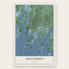
More maps nearby: Boothbay Harbor, Edgecomb, Damariscotta, Boothbay and Monhegan.
The art of mapping a place
How This Map Was Made
Real places. Remarkable detail. Discover the layers that turn geographic data into a map of home.

The view from above
Aerial imagery reveals the character of the land: woodland, open fields, and the patterns of a place.

The shape of the land
Elevation data brings hills, valleys, and subtle changes in the landscape into view.

The details of home
Roads, waterways, and building footprints come together to make the map feel unmistakably local.

Geography becomes art
Considered color, shading, and typography bring the layers together in a map made for your wall.


Process illustrated with Mendon, Massachusetts. Aerial imagery: USDA NAIP. Terrain: USGS 3D Elevation Program. Map details and finished artwork: KNOWOL.
The Details
About This Print
Choose an archival matte print, or a black or white Ayous wood frame. The archival matte print is unframed.
Select your size and finish above to see the matching product image and price.
Materials & Craftsmanship
A contemporary map with the character of a classic atlas, printed on archival matte paper. Optional frames are made from Ayous wood.
Your printed map does not include the watermark shown in the full-map preview.
Shipping & Delivery
Free shipping within the United States. Every print is made to order in the USA.
Buying a gift? Add a note in your cart and we'll include it. We never put prices in the package.
Prints ship within 2 to 3 business days. Allow 7 to 10 days total from ordering for delivery. Timing may vary during holidays or periods of high order volume.
Read our shipping policy.
Returns and damaged prints
Each print is made to order. Change-of-mind refunds are not available after production.
If your print arrives damaged, misprinted or incorrect, contact support@knowol.com within 30 days of receiving it. Include your order number, photos and a description of the issue.
Read our full refund and replacement policy. For questions about your order, email support@knowol.com.