
Search for another town



Free U.S. delivery 7 to 10 days after you order
Boothbay, Maine Map Art
Building by building, with labeled streets and shaded relief.
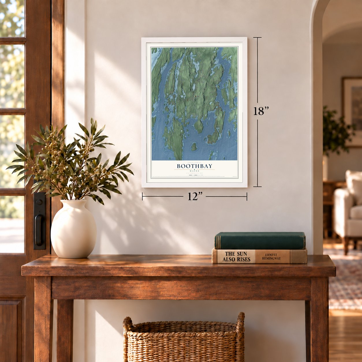
12" x 18" Archival Matte Print
A Map of Home. A Work of Art.
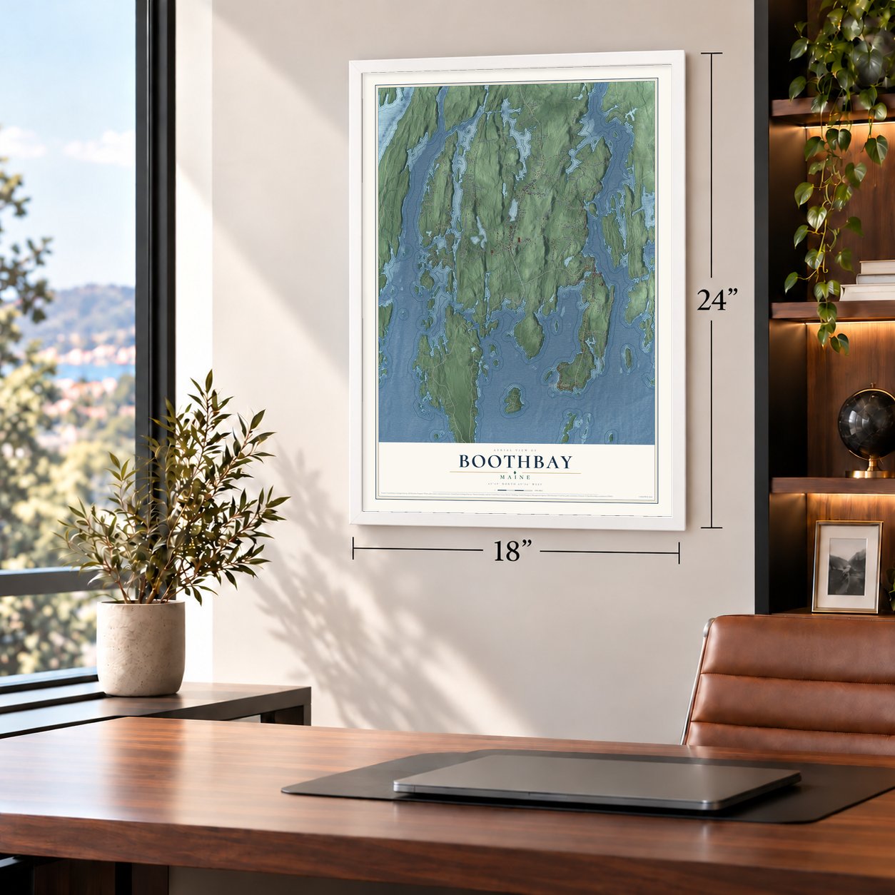
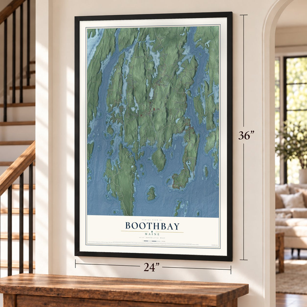
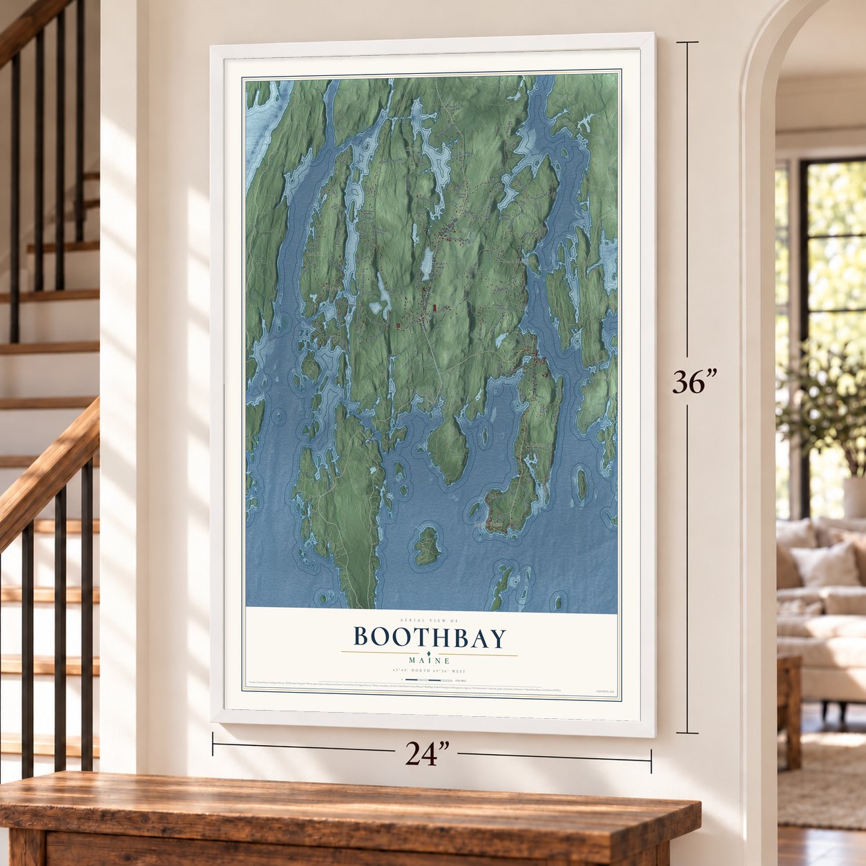
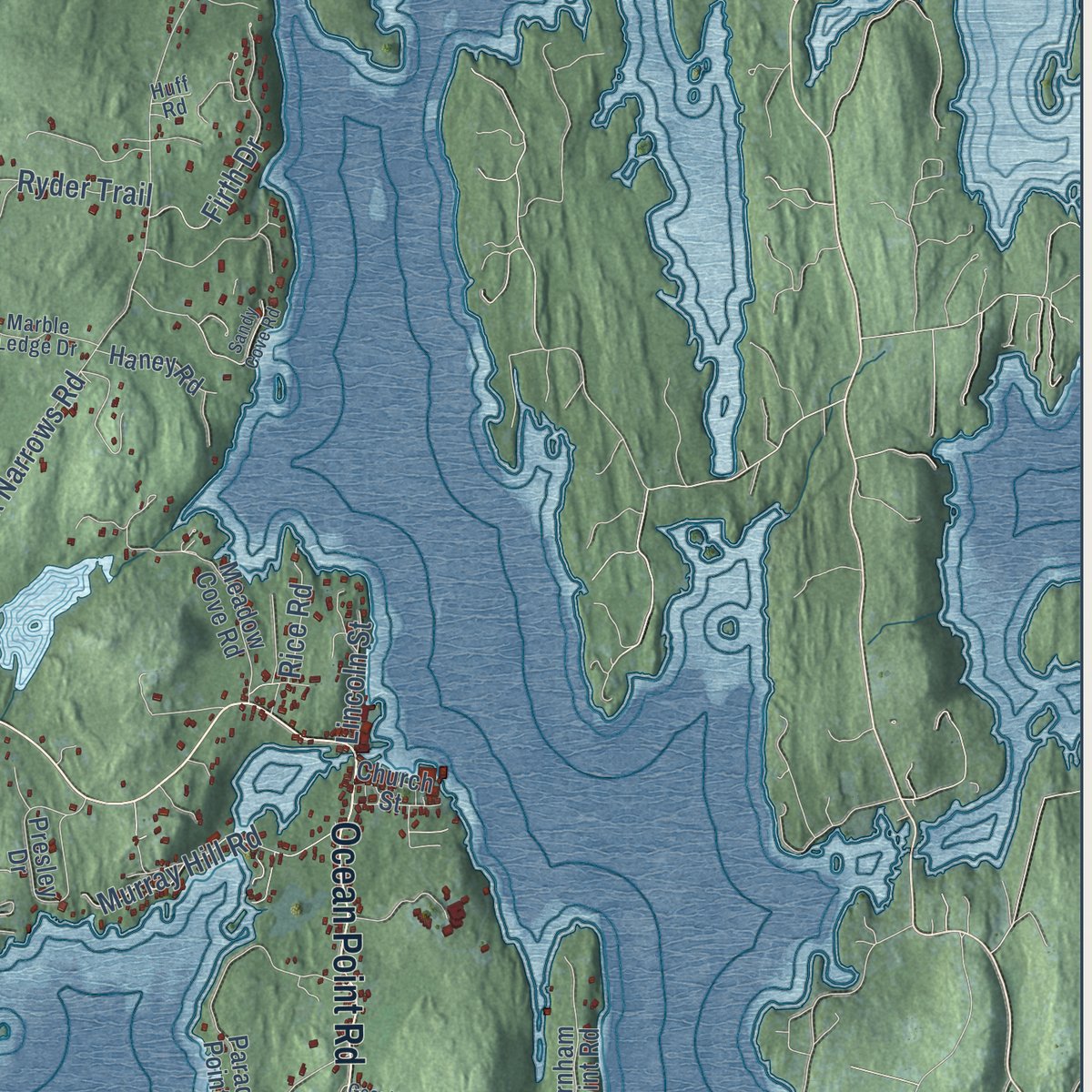
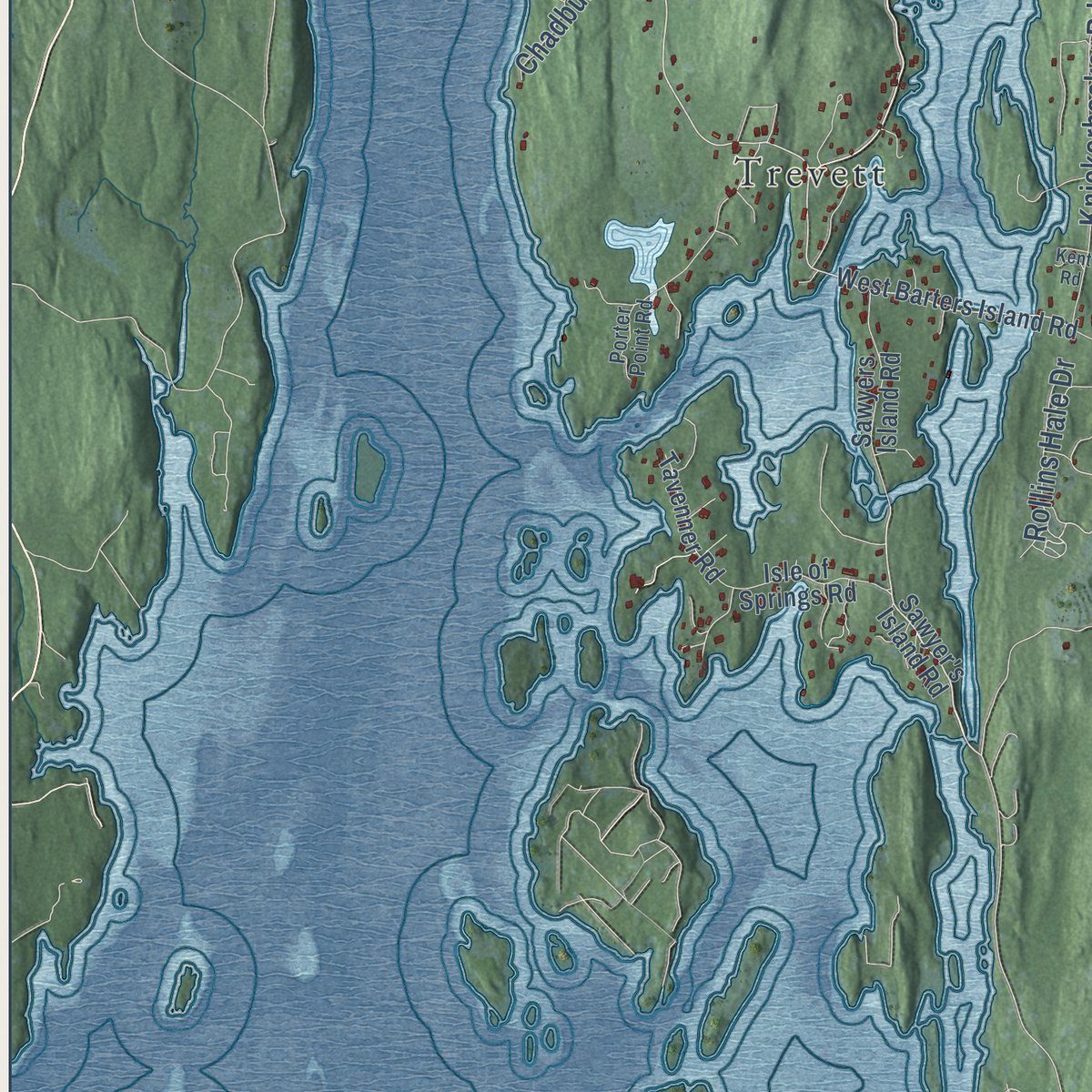
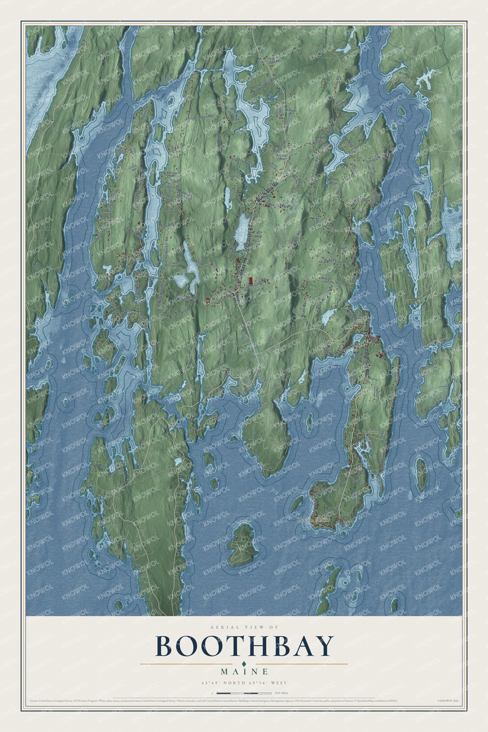
Explore Boothbay, Maine from a whole new perspective. Created using aerial imagery and detailed geographic data, this map captures Boothbay building by building, with labeled streets, familiar landmarks, and shaded topographical relief that highlights the natural contours of the landscape.
Combining modern data with the timeless character of a vintage atlas, this map is just as interesting up close as it is beautiful on the wall. Whether you grew up in Boothbay, spent memorable years there, or call it home today, this unique map is a great way to celebrate a place that means something to you. Zoom in on the preview to look for your street, and then order a print to put your memories on the wall.
Three ways to hang it
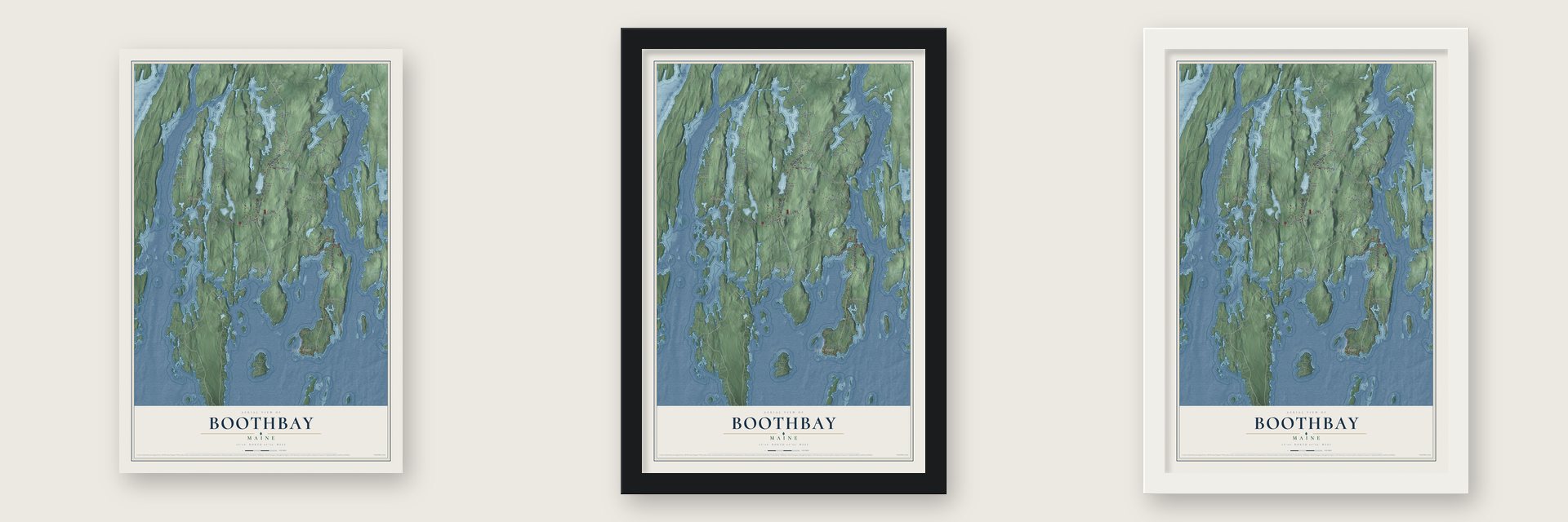
Unframed archival matte, a black wood frame or a white wood frame.
Up close
Geography Worth Displaying
This map was created using accurate cartographic data and authoritative geographic sources, including the U.S. Geological Survey (USGS) and FEMA. The map brings together terrain, waterways, roads, and building detail. The majority of the streets are labeled, houses are accurately depicted, and the topography is derived from government sources. Combining local data with carefully composed color and shading leads to this beautifully detailed Boothbay artwork for your wall.
Rather than simply showing street outlines, we’ve included as many of the street names as we could reasonably fit on the map while keeping their names legible. Zoom in on the high resolution preview to see exactly what’s on the map. We truly set out to create a statement piece for anyone who loves Boothbay. So whether it’s for you, or a gift for someone you love, we hope this map of Boothbay brings back fond memories.
Explore the full map of Boothbay, Maine and read about the local places it shows.

Find your street
Names on the Boothbay map
Every name below is printed on this map. Look for your street, your school, the park where you played, or the pond down the road.
Places and landmarks6
- Dover
- Oak Hill
- Ocean Point
- Linekin
- Back Narrows
- Trevett
Streets and roads110
- Wiscasset Road
- Booth Boy Road
- Ocean Point Road
- Boothbay Road
- Corey Lane
- West Side Road
- East Side Road
- Barters Island Road
- Ledges Road
- Murray Hill Road
- Back River Road
- Back Narrows Road
- Dover Road
- Pension Ridge Road
- Adams Pond Road
- River Road
- Knickerbocker Road
- Butler Road
- Shore Road
- King Phillips Trail
- Beath Road
- Steves Road
- Gaecklin Road
- Pleasant Cove Road
- Country Club Road
- Industrial Park Drive
- Van Horne Road
- Firth Drive
- Dover Cross Road
- Annable Road
Show all 110 streets
- Ryder Trail
- High Fields
- Hardwick Road
- Seasurf Road
- River Road North
- Burleigh Hill Road
- Royall Road
- Middle Road
- Rollins Hale Drive
- Chadburne Road
- Bryers Circle
- Forest Haven
- Gray Road
- Rice Road
- Lincoln Street
- Clam Avenue
- Sawyer's Island Road
- West Barters Island Road
- Meadow Cove Road
- Farnham Point Road
- Samoset Trail
- Paradise Point Road
- Presley Drive
- Isle of Springs Road
- Decker Reef Road
- Cross Road
- Deer Run Road
- Sawyers Island Road
- Jacobs Landing
- Boothbay Shores
- Tavenner Road
- Town Line Road
- Oak Hill Road
- Haney Road
- My Way
- Towson Lane
- Inlet Trail
- Peaceful Acres
- Higbee Lane
- Hillside Place
- Page Lane
- Grimes Avenue
- Birchs Drive
- Ojibwa Trail
- Poore Road
- Church Street
- Donnas Way
- Fl 36
- Wharf Road
- Wall Street
- Townsend Avenue
- Back Eighty Road
- Rittall Drive Way
- Twin Cove Road
- Murphy Road
- Wigwam Trail
- Marble Ledge Drive
- Giles Road
- Four Wheel Drive
- Highland Ridge Road
- Porter Point Road
- Delano Drive
- Easy Street
- Huff Road
- Bottle Cove Road
- Brookwood Drive
- Whale Rock Road
- Schooner Ridge Road
- Sandy Cove Road
- Formosa Lane
- Fort Island Road
- Burnham Cove Road
- Backriver Landing
- Georges Road
- Spindle Tree
- Adams Road
- Sea Mist Drive
- Elms Acres
- Kent Road
- Cliff Road
Names are listed as they appear on the printed map. Zoom into the product photos to find them.
About Boothbay, Maine
Boothbay is a town of 3,003 people in Lincoln County, on the Cape Newagen peninsula, between the Sheepscot River and the Damariscotta. The Abenaki knew the land as Winnegance, and English fishermen kept an outpost at Cape Newagen by 1623. In 1666 an Englishman named Henry Curtis bought the right to settle there from the Abenaki sachem Mowhotiwormet. The Abenaki drove the English out in 1676, during King Philip's War, and when the colonists came back they were forced off again in 1689, in King William's War. Nobody lived there for the next 40 years.
In 1730 Colonel David Dunbar, who governed the Territory of Sagadahock, started a settlement he called Townsend, for Lord Charles Townshend. He talked about 40 Presbyterian families of Scots-Irish stock, most of them from the north of Ireland, into making their homes there. This time the settlement lasted, and on November 3, 1764, it became the town of Boothbay. Two towns later grew out of it: Southport, the old Townsend, broke away in 1842, and Boothbay Harbor followed in 1889. Boothbay still wraps around Boothbay Harbor today.
- Cod for the PilgrimsDamariscove Island, where the Damariscotta River meets the sea, is part of Boothbay. The Abenaki named it Aquahega, meaning "place of landing," and fishing boats were calling there by 1604. Captain John Smith mapped it in 1614. In the spring of 1622 the Plymouth Pilgrims were close to starving, so they sent a boat to the island, and the fishermen loaded it with cod. Most of the island has been protected since 1966.
- Theater relics in a 1787 houseNicholas Knight built the Knight-Corey House in 1787 in the village center, on a three-sided lot where Back River Road meets Corey Lane. An inn run by one of the first settlers had stood on the spot. The Federal house has five fireplaces that still work and a closed-in circular staircase. From 1974 to 1990 it was home to the Boothbay Theatre Museum, whose collection held keepsakes of actors including Edwin Booth and Sarah Bernhardt.
- A tavern on Sawyers IslandSawyers Island sits in the Sheepscot River on Boothbay's west side. A deed from 1746 covered the entire island, and by 1753 a house there was doing business as a tavern, inn and store. The Old Gray House that stands at 60 Tavenner Road today probably went up in the 1820s.
- Tugboats and ocean scienceFive shipyards work in Boothbay. The biggest, Washburn & Doughty in East Boothbay, had grown by 2007 into the East Coast's largest builder of tugboats. East Boothbay is also where the Bigelow Laboratory for Ocean Sciences was founded in 1974, and it takes its name from the oceanographer Henry Bryant Bigelow.
- Gardens on the tidewaterThe Coastal Maine Botanical Gardens took 16 years of planning and planting before opening on June 13, 2007, along almost a mile of tidal shoreline. At 295 acres, it is described as the largest botanical garden in New England, and it draws about 200,000 visitors a year.
Keep exploring Maine
Boothbay is one of 536 Maine towns we've mapped. Every dot on the map is a print of its own.
The search covers every state, Maine first.
Near Boothbay
Order 2 or more town maps and save 10%. Shown in the size and finish you picked above, so they hang as a set.
- Southport 12" x 18" / Archival Matte Print $39.99
- Boothbay Harbor 12" x 18" / Archival Matte Print $39.99
- South Bristol 12" x 18" / Archival Matte Print $39.99
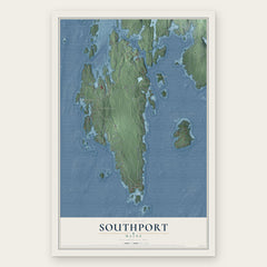
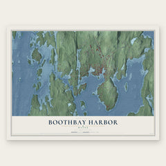
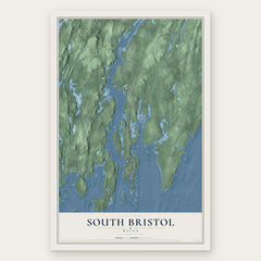
More maps nearby: Westport Island, Bristol, Georgetown, Arrowsic and Phippsburg.
The art of mapping a place
How This Map Was Made
Real places. Remarkable detail. Discover the layers that turn geographic data into a map of home.

The view from above
Aerial imagery reveals the character of the land: woodland, open fields, and the patterns of a place.

The shape of the land
Elevation data brings hills, valleys, and subtle changes in the landscape into view.

The details of home
Roads, waterways, and building footprints come together to make the map feel unmistakably local.

Geography becomes art
Considered color, shading, and typography bring the layers together in a map made for your wall.


Process illustrated with Mendon, Massachusetts. Aerial imagery: USDA NAIP. Terrain: USGS 3D Elevation Program. Map details and finished artwork: KNOWOL.
The Details
About This Print
Choose an archival matte print, or a black or white Ayous wood frame. The archival matte print is unframed.
Select your size and finish above to see the matching product image and price.
Materials & Craftsmanship
A contemporary map with the character of a classic atlas, printed on archival matte paper. Optional frames are made from Ayous wood.
Your printed map does not include the watermark shown in the full-map preview.
Shipping & Delivery
Free shipping within the United States. Every print is made to order in the USA.
Buying a gift? Add a note in your cart and we'll include it. We never put prices in the package.
Prints ship within 2 to 3 business days. Allow 7 to 10 days total from ordering for delivery. Timing may vary during holidays or periods of high order volume.
Read our shipping policy.
Returns and damaged prints
Each print is made to order. Change-of-mind refunds are not available after production.
If your print arrives damaged, misprinted or incorrect, contact support@knowol.com within 30 days of receiving it. Include your order number, photos and a description of the issue.
Read our full refund and replacement policy. For questions about your order, email support@knowol.com.