
Search for another town


Free U.S. delivery 7 to 10 days after you order
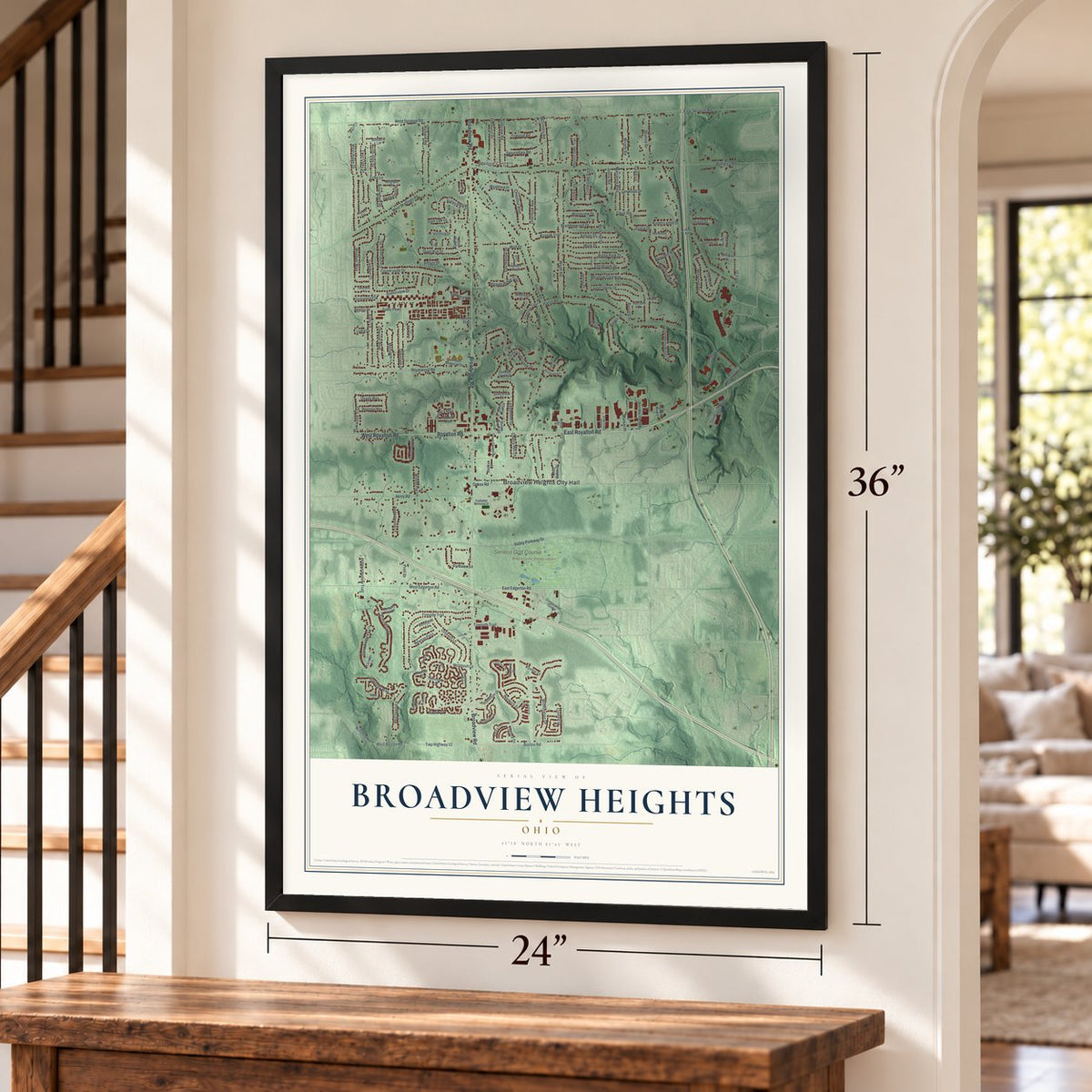
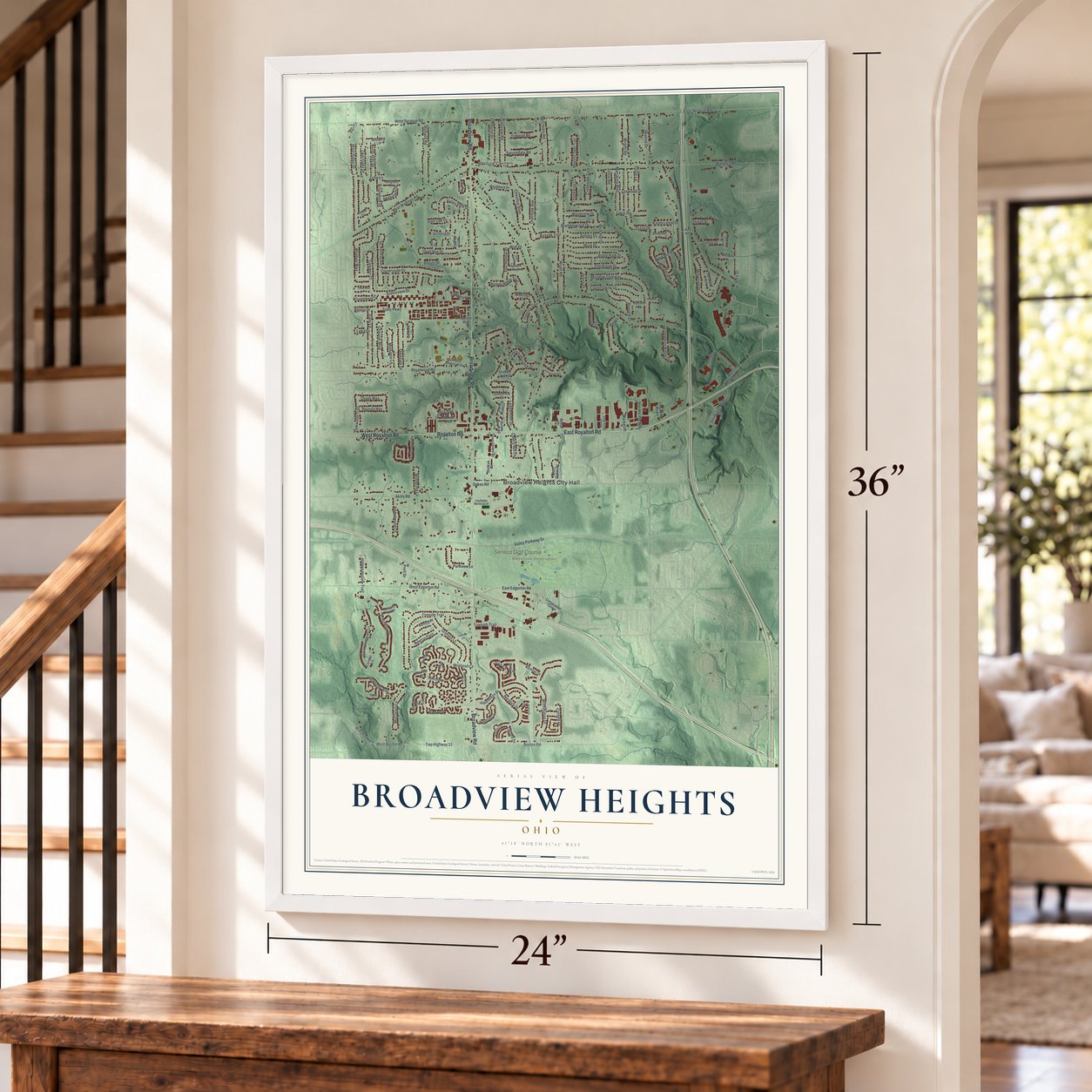
Broadview Heights, Ohio Map Art
Building by building, with labeled streets and shaded relief.
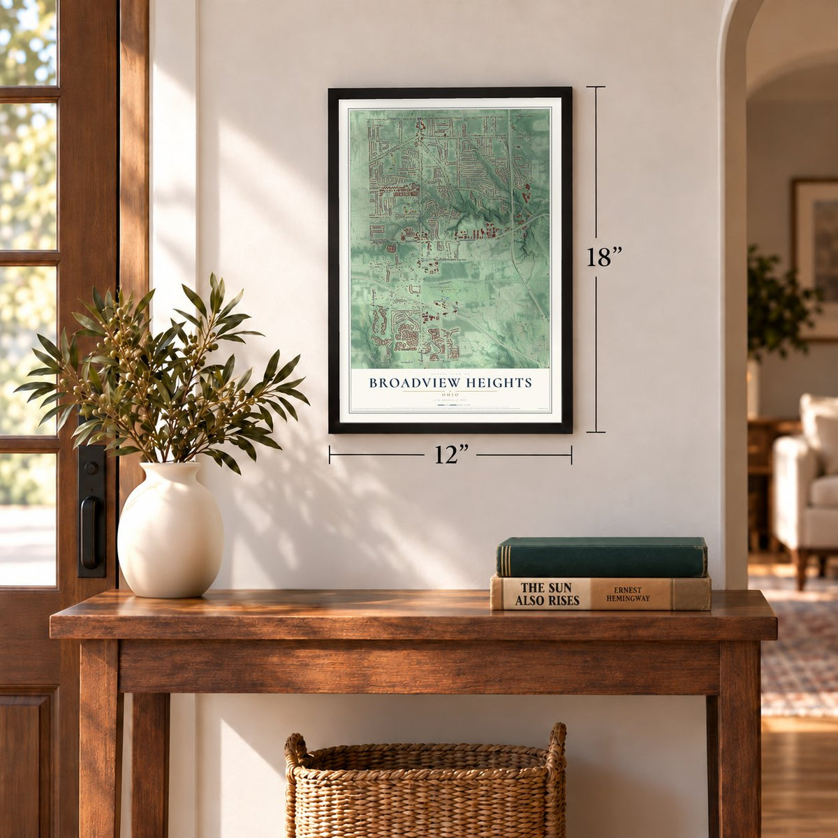
12" x 18" Archival Matte Print
A Map of Home. A Work of Art.
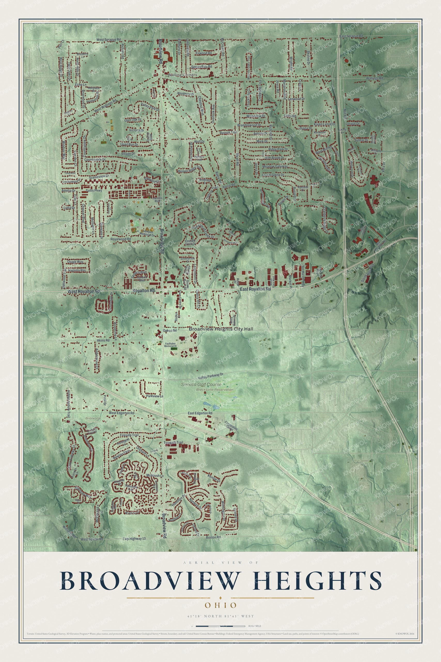
Explore Broadview Heights, Ohio from a whole new perspective. Created using aerial imagery and detailed geographic data, this map captures Broadview Heights building by building, with labeled streets, familiar landmarks, and shaded topographical relief that highlights the natural contours of the landscape.
Combining modern data with the timeless character of a vintage atlas, this map is just as interesting up close as it is beautiful on the wall. Whether you grew up in Broadview Heights, spent memorable years there, or call it home today, this unique map is a great way to celebrate a place that means something to you. Zoom in on the preview to look for your street, and then order a print to put your memories on the wall.
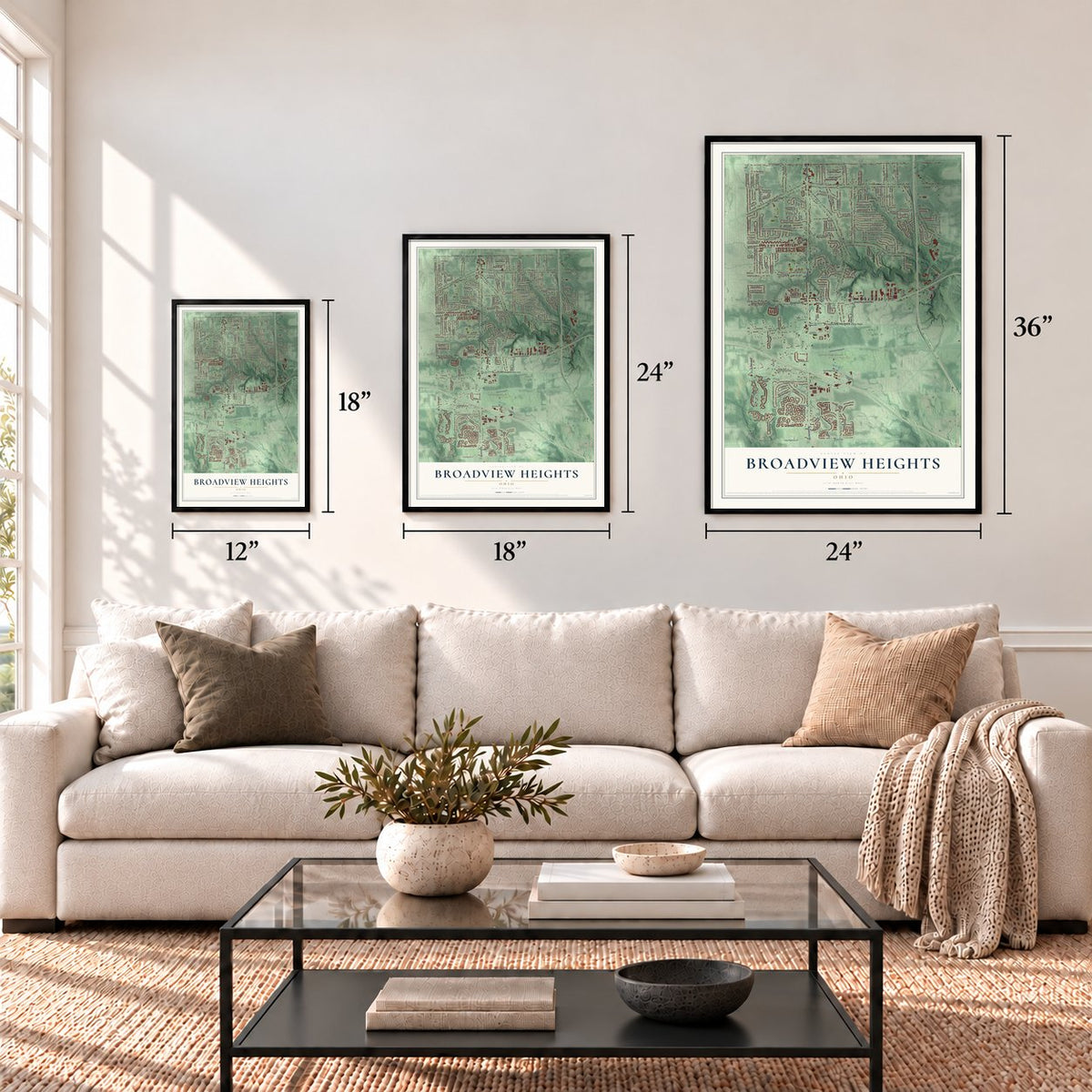
Three ways to hang it
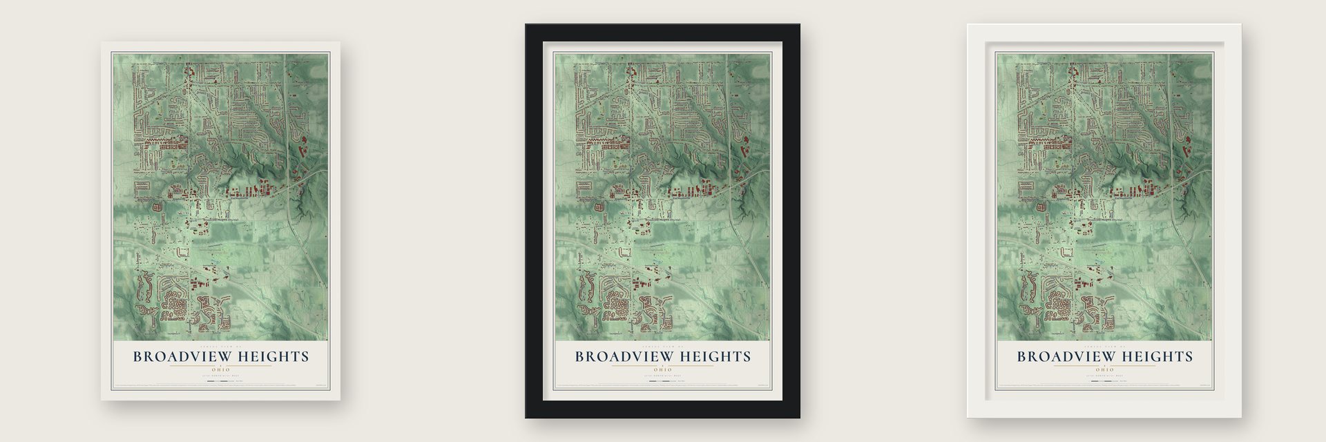
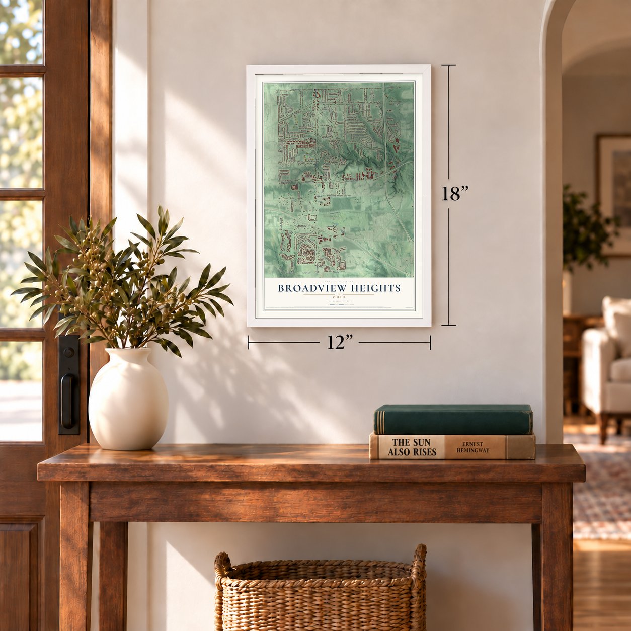
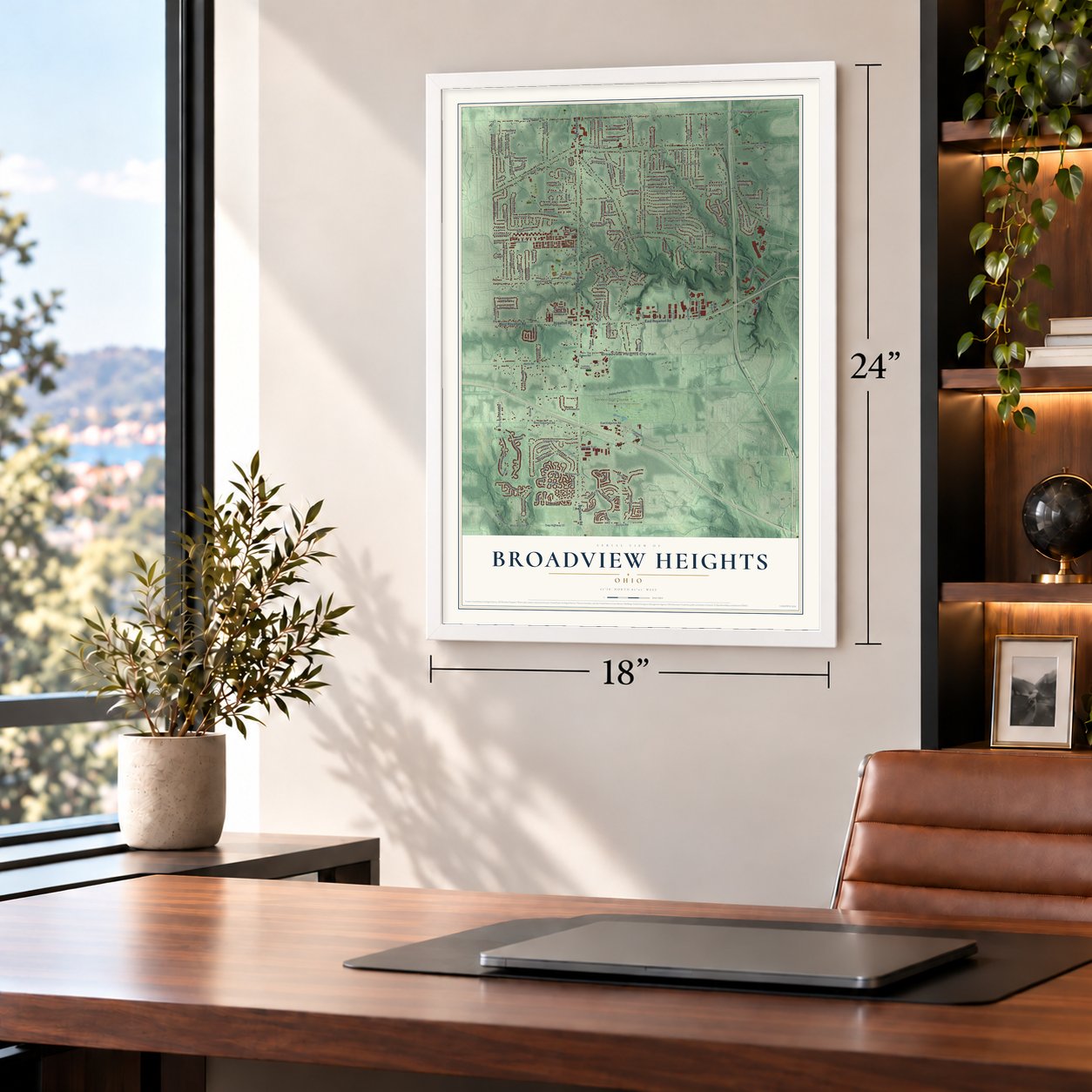
Unframed archival matte, a black wood frame or a white wood frame.
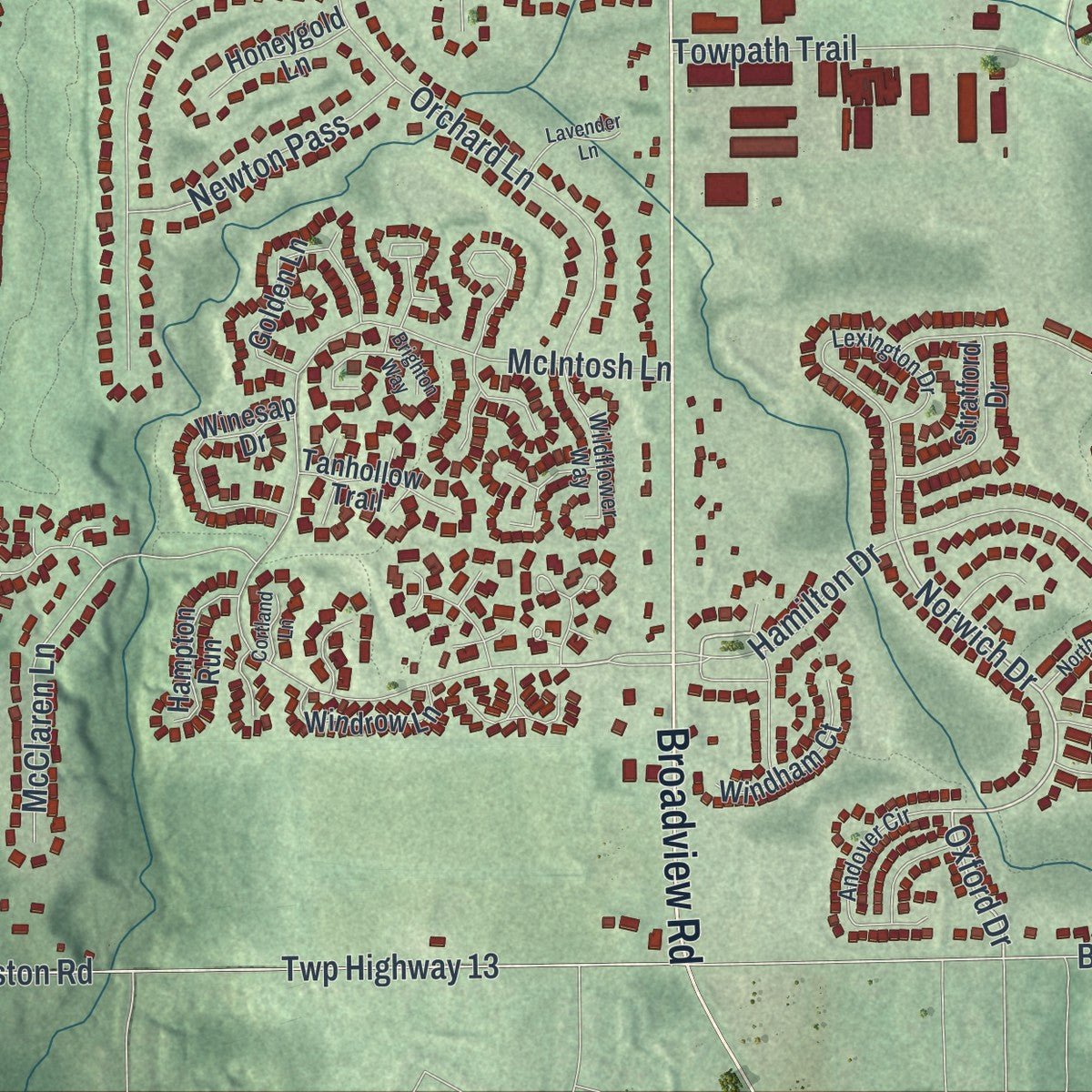
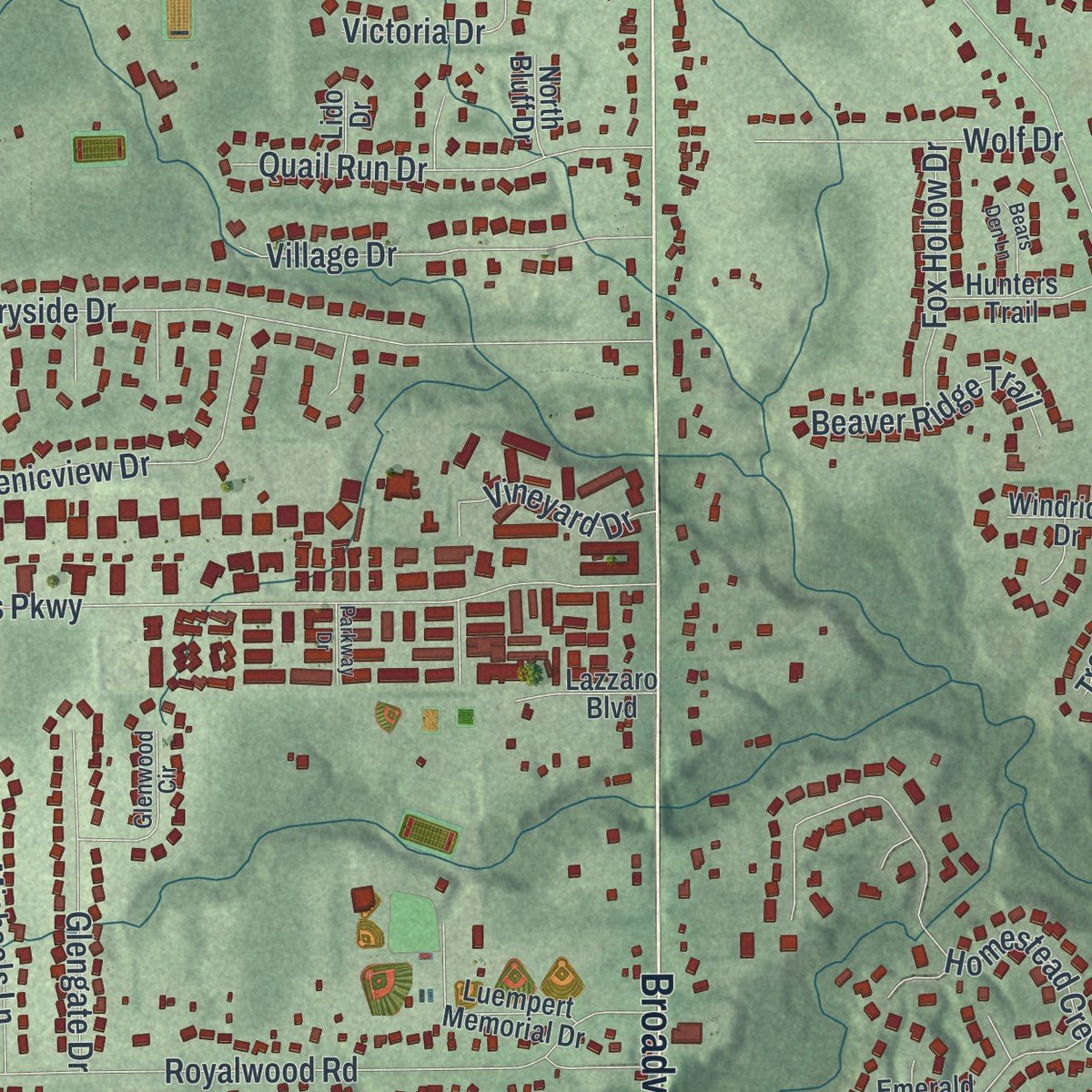
Up close
Geography Worth Displaying
This map was created using accurate cartographic data and authoritative geographic sources, including the U.S. Geological Survey and the Census Bureau. The map brings together terrain, waterways, roads, and building detail. The majority of the streets are labeled, houses are accurately depicted, and the topography is derived from government sources. Combining local data with carefully composed color and shading leads to this beautifully detailed Broadview Heights artwork for your wall.
Rather than simply showing street outlines, we’ve included as many of the street names as we could reasonably fit on the map while keeping their names legible. Zoom in on the high resolution preview to see exactly what’s on the map. We truly set out to create a statement piece for anyone who loves Broadview Heights. So whether it’s for you, or a gift for someone you love, we hope this map of Broadview Heights brings back fond memories.
Read the story behind this map of Broadview Heights, Ohio from 2026.
Find your street
Names on the Broadview Heights map
Every name below is printed on this map. Look for your street, your school, the park where you played, or the pond down the road.
Places and landmarks5
- Broadview Heights City Hall
- Walling Corners
- Brecksville Reservation
- Briarwood Golf Club
- Seneca Golf Course
Streets and roads184
- East Royalton Road
- Broadview Road
- Royalton Road
- West Royalton Road
- McIntosh Lane
- West Wallings Road
- Norwich Drive
- Diana Drive
- Osage Way
- Rusnak Trail
- Oxford Drive
- Avery Road
- Wallings Road
- East Sprague Road
- Harris Road
- Valley Parkway Drive
- Mill Road
- West Sprague Road
- Royalwood Road
- Wyatt Road
- West Edgerton Road
- Akins Road
- Fireside Trail
- West Mill Road
- Prestwick Drive
- Twp Highway 13
- West Boston Road
- Homestead Creek Drive
- Wilmington Drive
- Wright Road
Show all 184 streets
- Countryside Drive
- Tollis Parkway
- East Edgerton Road
- Meadow Gateway
- Boston Road
- Oakes Road
- West Ridge Drive
- Hamilton Drive
- Ridge Park Drive
- Windsor Way
- Twin Oaks Drive
- Millwood Drive
- Saint Andrews Lane
- Richard Road
- Scottsdale Drive
- Orchard Lane
- Chestnut Boulevard
- Scenicview Drive
- Ledgemont Drive
- Mark Drive
- Falls Lane
- McClaren Lane
- Towpath Trail
- Antony Drive
- Laurel Glenn Drive
- Creekside Trce
- Overlook Avenue
- Quail Run Drive
- Barnsley Way
- Village Drive
- Elm Brook Drive
- McCreary Road
- Longview Road
- Skyline Drive
- Elmhurst Drive
- Vera Drive
- Russett Drive
- Craig Lane
- Countryview Drive
- Westminster Lane
- Sprucedale Road
- Marianna Boulevard
- Chaucer Boulevard
- Glengate Drive
- Cornell Drive
- Kendal Drive
- Firwood Road
- Bramblewood Drive
- South Hills Boulevard
- Glen Oak Drive
- Pointe Drive
- Valley Park Drive
- Wolf Drive
- Parkview Lane
- Newton Pass
- Briarwood Drive
- Cranberry Ridge Drive
- Thackeray Court
- Cherry Hill Lane
- Amberwood Court
- Michaels Lane
- Victoria Drive
- Hidden Hollow Trail
- Seneca Boulevard
- Oakwood Trail
- Fox Hollow Drive
- Beaver Ridge Trail
- North Hills Drive
- Woodview Drive
- Lenwood Drive
- Vineyard Drive
- Louis Road
- Echo Lane
- Rich Hill Drive
- Amelia Drive
- Treetop Trail
- Wiltshire Road
- Karen Lynne Drive
- Sylmar Drive
- Woodchip Lane
- Camden Court
- Joyce Road
- Market Place
- Prell Drive
- Jenna Drive
- Loripat Drive
- Perl Court
- Lydia Drive
- Woodmere Drive
- Town Centre Drive
- Golden Lane
- Breckenridge Oval
- Stoney Run Trail
- Corporation Center
- Winesap Drive
- Ken Mar Ind Parkway
- Emerald Creek Drive
- Stratford Drive
- Majestic Oaks Trail
- Luempert Memorial Drive
- Heatherlane Drive
- Magnolia Way
- Windrow Lane
- Windham Court
- Old Royalton Road
- Windridge Drive
- Hunters Trail
- Crystalwood Drive
- Hampton Run
- Hollylane Drive
- Tanhollow Trail
- Misty Oakes Drive
- Boxberry Lane
- Honeygold Lane
- Treeworth Boulevard
- Lazzaro Boulevard
- Summit Boulevard
- Silverbrook Court
- Ryeland Drive
- Fairway Lane
- Williams Drive
- Stoney Run Circle
- Rockys Court
- Kenwood Drive
- North Bluff Drive
- Postal Drive
- Lacey Lane
- Lido Drive
- Lexington Drive
- Kimrose Lane
- Market Place West
- Andover Circle
- Glenwood Circle
- Wildflower Way
- Faulhaber Memorial Drive
- Gates Court
- Turnberry Crossing
- Eagle Valley Court
- Oakview Circle
- Boulder Wood Drive
- Summerwood Court
- North Yorkshire Drive
- Breckswood Oval
- Lincolnshire Court
- Lavender Lane
- Timberwood Drive
- Bears Den Lane
- Brighton Way
- Broadmill Drive
- Stillwater Court
- Parkway Drive
- Salberry Lane
- Pumpkin Lane
- Cortland Lane
Names are listed as they appear on the printed map. Zoom into the product photos to find them.
About Broadview Heights, Ohio
Broadview Heights is a city of 19,936 people in southern Cuyahoga County, a suburb of Cleveland. Native Americans lived on this land first. In 1811 Colonel John Breck sent a surveyor named Seth Paine to the area, then called Brecksville Township, which also took in today's Brecksville and North Royalton. Paine became the first white settler there. As his pay he received 200 acres, settled on land in the township's southwest corner and put up the area's first family home.
More than a century later, the western part of Brecksville Township went its own way. Its residents signed a petition and held an election, and on December 17, 1926, Broadview Heights was incorporated as a village. Floyd C. Harris took office as its first mayor in 1927, and when census counts showed the village was growing, it became a city in 1960.
- A hospital became City HallThe Broadview Developmental Center, a hospital, closed in the 1980s. In 1996 the city bought its grounds for $750,000, renamed the site Broadview Center and renovated it. Recreation and Human Services moved into the Thorin Building in 1998, City Hall followed in 1999, and the police department settled there too.
- A stage and a new poolThe Broadview Heights Spotlights, a community theater, now perform in a city-owned theater at Broadview Center, on the old hospital grounds. In 2018 the recreation center there gained new basketball courts, a workout area and a pool.
- Twenty state titles in a rowBroadview Heights shares its school district with Brecksville, and the high school sits on a campus that crosses the line between the two cities. In 2023 its girls' gymnastics team won a 20th consecutive state title, its 24th overall. The football team were state champions in 1983, and the wrestlers won the state championship in 2015.
Keep exploring Ohio
Broadview Heights is one of 1,389 Ohio towns we've mapped. Every dot on the map is a print of its own.
The search covers every state, Ohio first.
Near Broadview Heights
Order 2 or more town maps and save 10%. Shown in the size and finish you picked above, so they hang as a set.
- Brecksville 12" x 18" / Archival Matte Print $39.99
- North Royalton 12" x 18" / Archival Matte Print $39.99
- Seven Hills 12" x 18" / Archival Matte Print $39.99
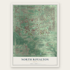
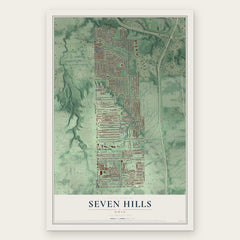
More maps nearby: Independence, Parma, Valley View, Richfield and Hinckley.
The art of mapping a place
How This Map Was Made
Real places. Remarkable detail. Discover the layers that turn geographic data into a map of home.

The view from above
Aerial imagery reveals the character of the land: woodland, open fields, and the patterns of a place.

The shape of the land
Elevation data brings hills, valleys, and subtle changes in the landscape into view.

The details of home
Roads, waterways, and building footprints come together to make the map feel unmistakably local.

Geography becomes art
Considered color, shading, and typography bring the layers together in a map made for your wall.


Process illustrated with Mendon, Massachusetts. Aerial imagery: USDA NAIP. Terrain: USGS 3D Elevation Program. Map details and finished artwork: KNOWOL.
The Details
About This Print
Choose an archival matte print, or a black or white Ayous wood frame. The archival matte print is unframed.
Select your size and finish above to see the matching product image and price.
Materials & Craftsmanship
A contemporary map with the character of a classic atlas, printed on archival matte paper. Optional frames are made from Ayous wood.
Your printed map does not include the watermark shown in the full-map preview.
Shipping & Delivery
Free shipping within the United States. Every print is made to order in the USA.
Buying a gift? Add a note in your cart and we'll include it. We never put prices in the package.
Prints ship within 2 to 3 business days. Allow 7 to 10 days total from ordering for delivery. Timing may vary during holidays or periods of high order volume.
Read our shipping policy.
Returns and damaged prints
Each print is made to order. Change-of-mind refunds are not available after production.
If your print arrives damaged, misprinted or incorrect, contact support@knowol.com within 30 days of receiving it. Include your order number, photos and a description of the issue.
Read our full refund and replacement policy. For questions about your order, email support@knowol.com.