
Search for another town
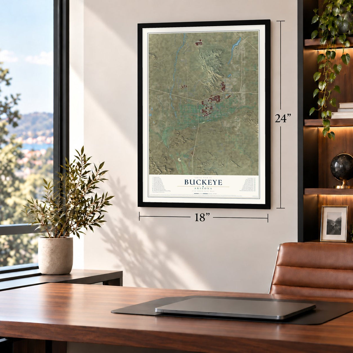
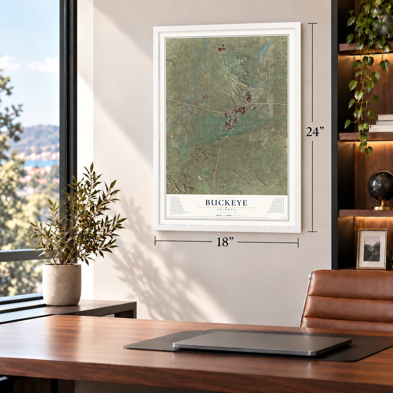
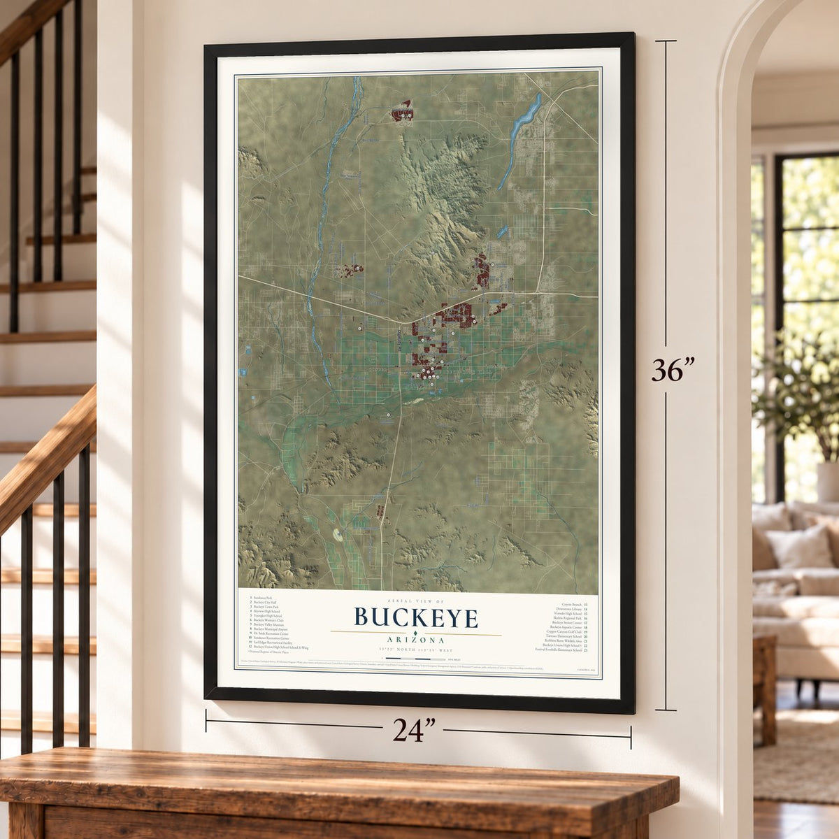
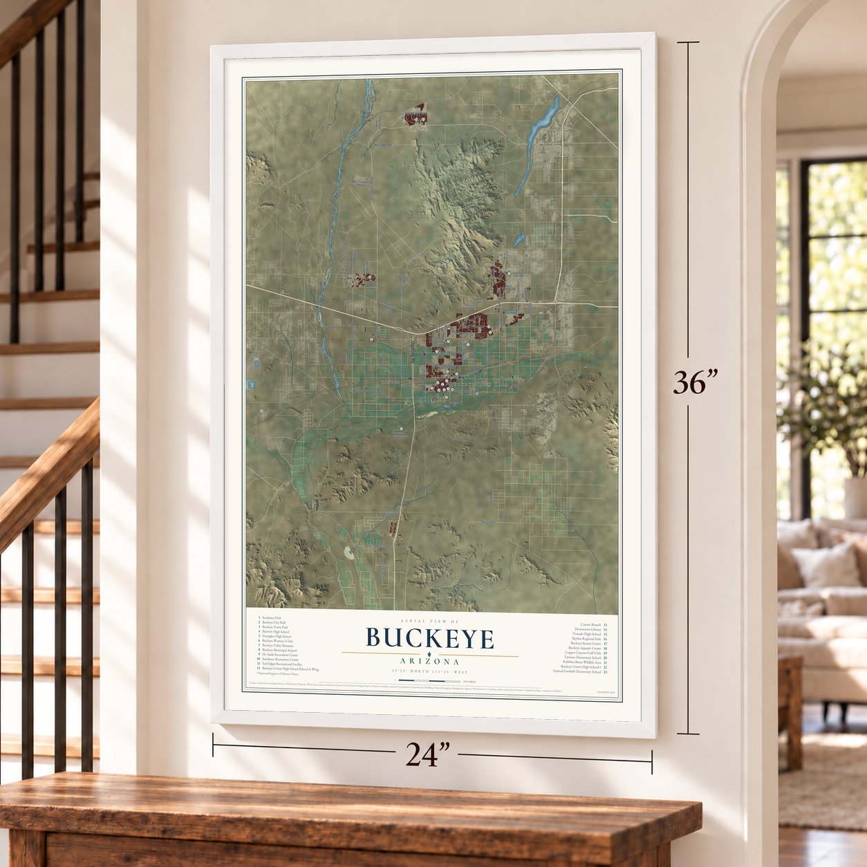
Free U.S. delivery 7 to 10 days after you order
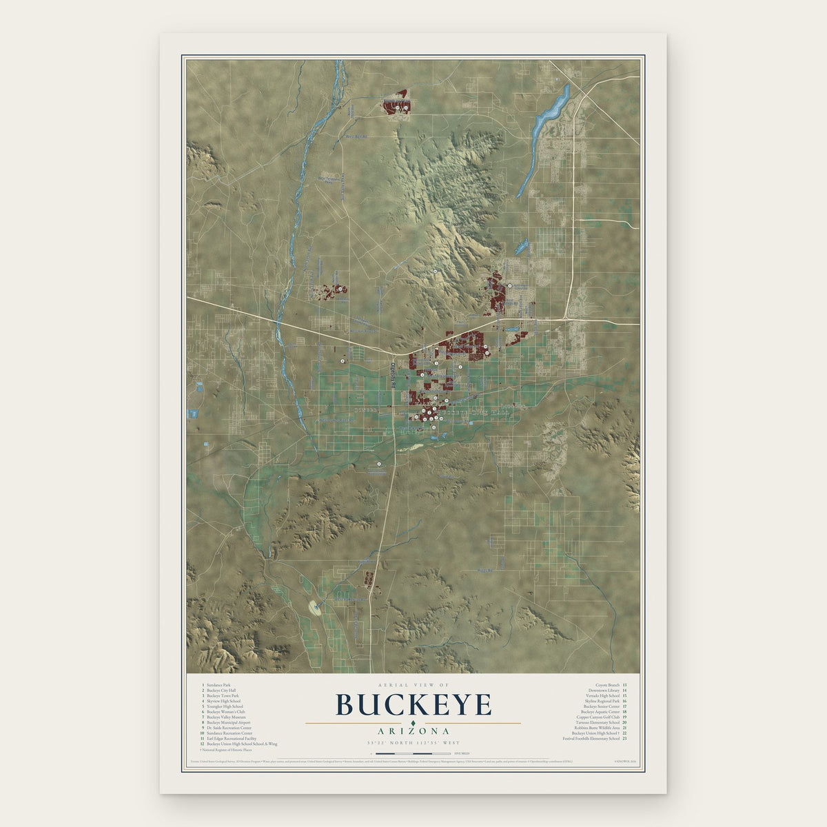
Buckeye, Arizona Map Art
Building by building, with labeled streets and shaded relief.
12" x 18" Archival Matte Print
A Map of Home. A Work of Art.
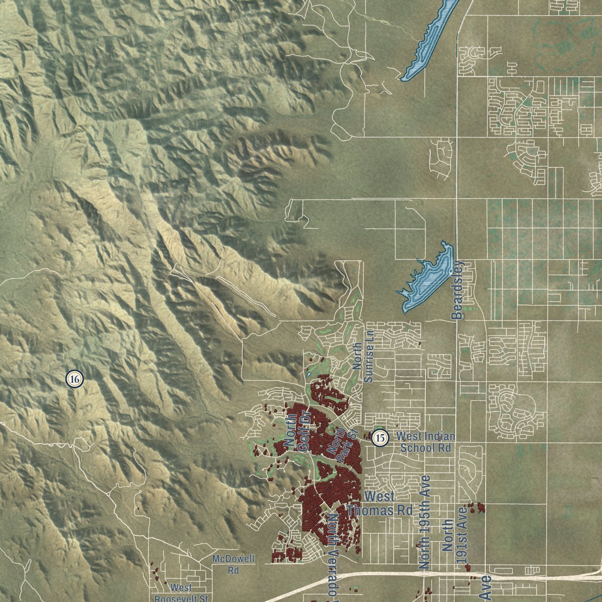
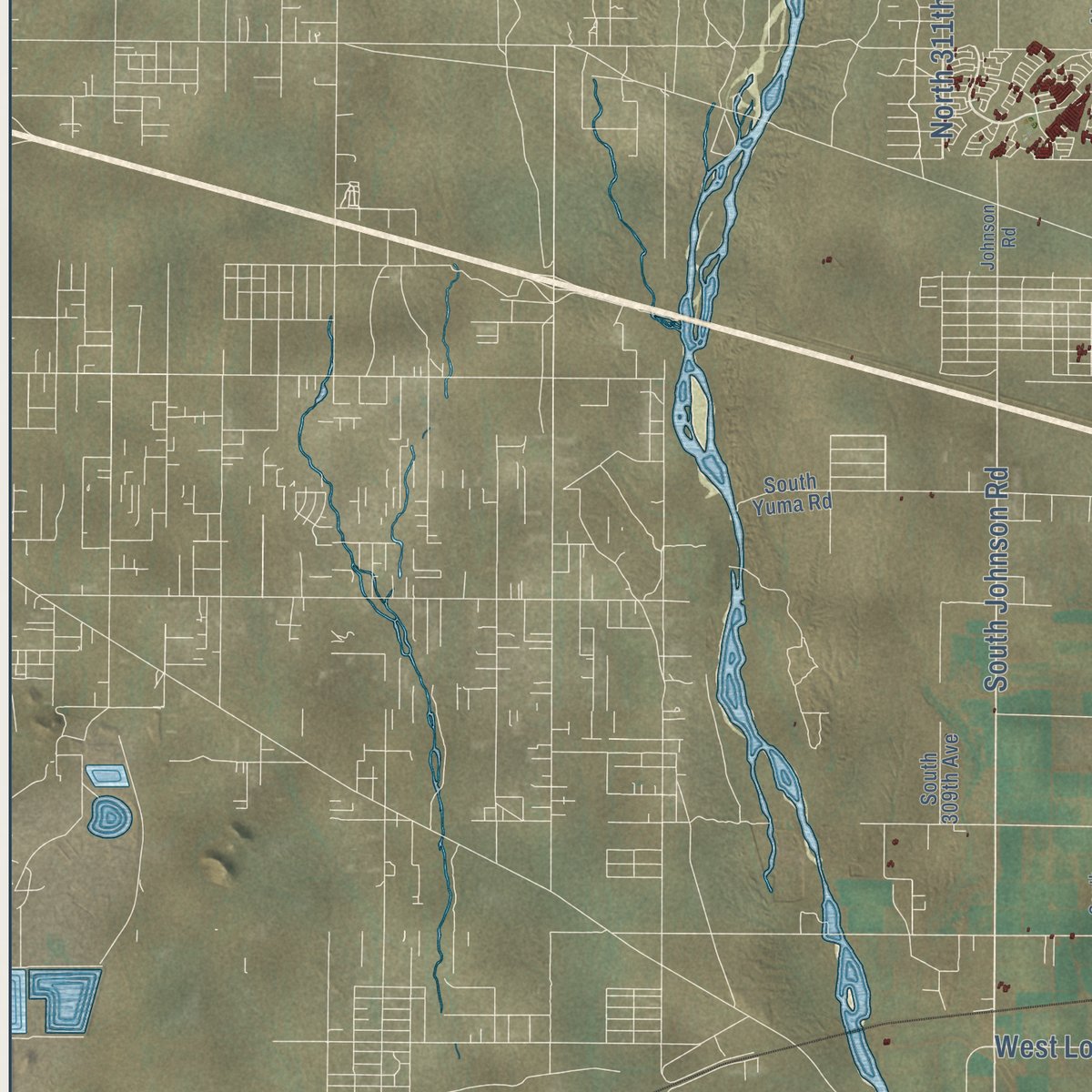
Explore Buckeye, Arizona from a whole new perspective. Created using aerial imagery and detailed geographic data, this map captures Buckeye building by building, with labeled streets, familiar landmarks, and shaded topographical relief that highlights the natural contours of the landscape.
Combining modern data with the timeless character of a vintage atlas, this map is just as interesting up close as it is beautiful on the wall. Whether you grew up in Buckeye, spent memorable years there, or call it home today, this unique map is a great way to celebrate a place that means something to you. Zoom in on the preview to look for your street, and then order a print to put your memories on the wall.

Three ways to hang it
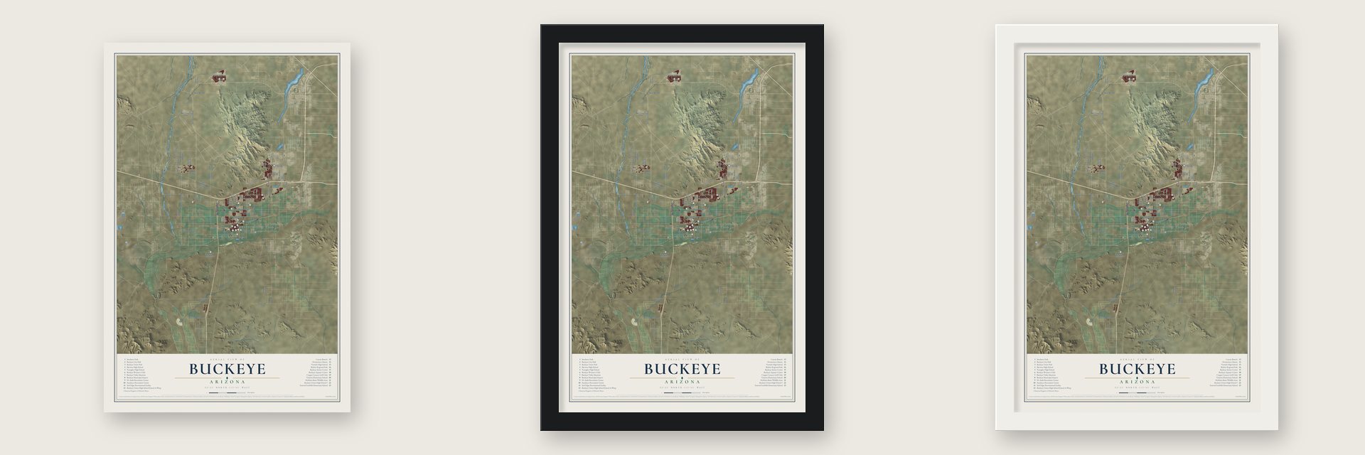
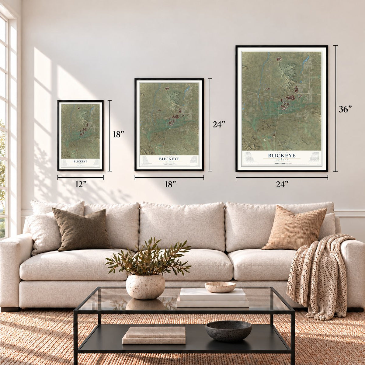
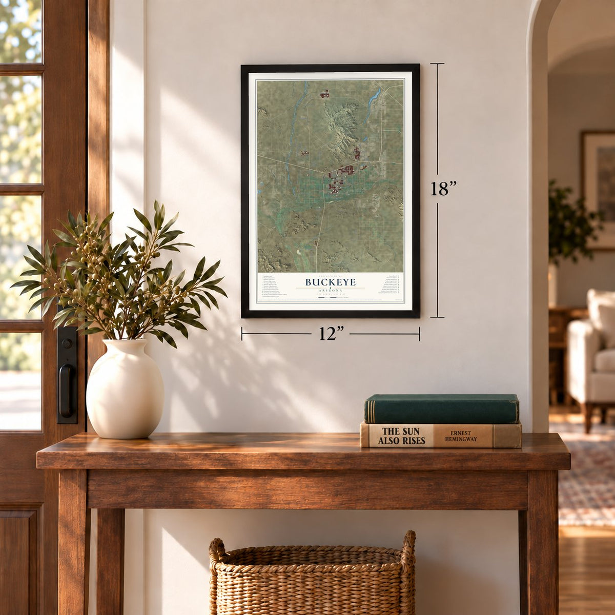
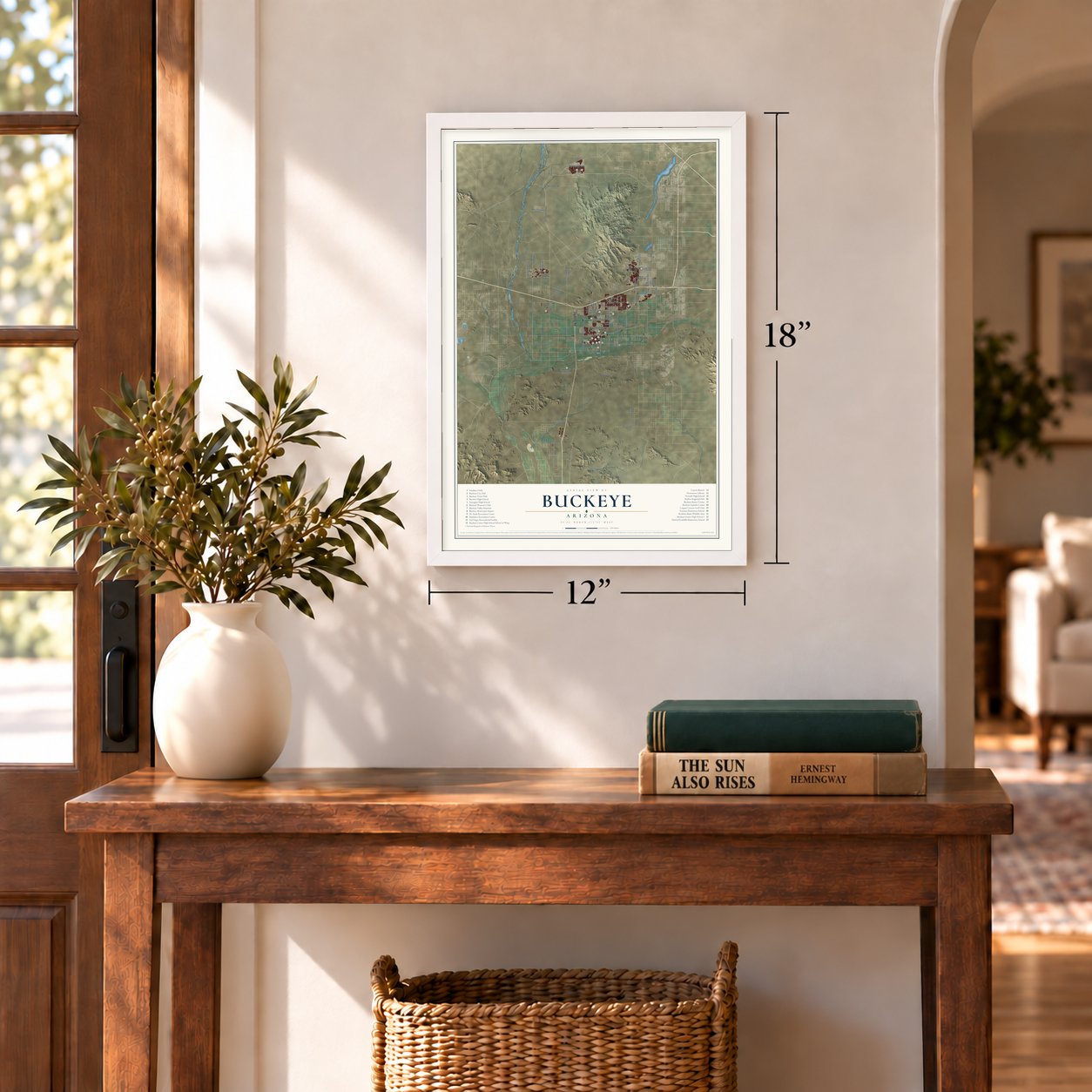
Unframed archival matte, a black wood frame or a white wood frame.
Up close
Geography Worth Displaying
This map was created using accurate cartographic data and authoritative geographic sources, including the U.S. Geological Survey (USGS) and FEMA. The map brings together terrain, waterways, roads, and building detail. The majority of the streets are labeled, houses are accurately depicted, and the topography is derived from government sources. Combining local data with carefully composed color and shading leads to this beautifully detailed Buckeye artwork for your wall.
Rather than simply showing street outlines, we’ve included as many of the street names as we could reasonably fit on the map while keeping their names legible. Zoom in on the high resolution preview to see exactly what’s on the map. We truly set out to create a statement piece for anyone who loves Buckeye. So whether it’s for you, or a gift for someone you love, we hope this map of Buckeye brings back fond memories.
Explore the full map of Buckeye, Arizona and read about the local places it shows.
Find your street
Names on the Buckeye map
Every name below is printed on this map. Look for your street, your school, the park where you played, or the pond down the road.
Places and landmarks4
- Buckeye City Hall
- Liberty
- Conger
- Valencia
Streets and roads67
- Olgelsby Road
- South Johnson Road
- South 283rd Avenue
- Sun Valley Parkway
- West Southern Avenue
- West Yuma Road
- Buckeye Canal Road
- West Broadway Road
- West Durango Street
- West Hazen Road
- West Bell Road
- North 315th Avenue
- Riggs Road
- West Lower River Road
- West Patterson Road
- North 311th Avenue
- 187th Avenue
- Beardsley Parkway
- Rooks Road
- 283 Avenue
- South Dean Road
- West Lower Buckeye Road
- West Bethany Home Road
- West Van Buren Street
- Tonopah Salome Highway
- North Verrado Way
- Mc 85
- South Rainbow Road
- South Rooks Road
- West Beloat Road
Show all 67 streets
- South Airport Road
- North 195th Avenue
- South Turner Road
- West Thomas Road
- Turner Road
- North Turner Road
- North Bruner Road
- West Teravalis Parkway
- Tuthill Road
- West Roeser Road
- North 191st Avenue
- North 291st Avenue
- Gas Pipeline Road
- Beardsley
- Thomas Road
- South Pvt
- 287th Avenue
- Airport Road
- North Golf Drive
- South Watson Road
- West Robbins Butte Game Road
- North Sundance Parkway
- West Indian School Road
- South 247th Avenue
- South 309th Avenue
- North Park Street
- North Sunrise Lane
- 259th Avenue
- Yuma Road
- South Yuma Road
- Johnson Road
- South Miller Road
- South Palo Verde Road
- East Monroe Avenue
- West Roosevelt Street
- South Bruner Road
- McDowell Road
Names are listed as they appear on the printed map. Zoom into the product photos to find them.
About Buckeye, Arizona
Buckeye is a city of 91,502 people in Maricopa County. It sits in the Buckeye Valley, about 30 miles west of downtown Phoenix. The Hohokam culture lived here first. In 1877 Thomas Newt Clanton led a party from Creston, Iowa, to settle here: six men, three women and ten children.
Malie M. Jackson, an early settler from Ohio, developed 10 miles of the Buckeye Canal between 1884 and 1886 and named it for his home state's nickname. The town founded in 1888 was called Sidney, after Jackson's Ohio hometown. Because the canal mattered so much, people kept calling the place Buckeye, and the name became legal in 1910.
- The railroad moves downtownThe Arizona Eastern Railroad arrived in 1910, and the station was so important that the business district shifted to sit beside it. The first car rolled in during 1911, a steam rail line linked the town to Phoenix by 1912, and a state highway came by 1915. By 1912 major buildings were going up as the business community grew.
- Incorporated in 1929Buckeye incorporated as a town in 1929, covering 440 acres. Hugh M. Watson, who founded the Buckeye Valley Bank, served as its first mayor from 1956 to 1958, and Watson Road now holds the city's commercial center. A vote made Buckeye a city, and the change took effect in 2014.
- The old high school's A-WingThe A-Wing, the first Buckeye Union High School building, stands on Eason Avenue near 9th Street and is on the National Register of Historic Places. Estrella Mountain Community College renovated it and began teaching there in the fall of 2011. Called the Buckeye Educational Center, it now offers college courses, job training and community classes.
- Fastest-growing in AmericaBuckeye had 6,537 people in 2000 and 50,876 in 2010, and the 2020 census counted 91,502. In 2017, 2018 and 2021 no city in the country grew faster. By area it is now the second-largest city in Arizona, at 393.2 square miles.
Keep exploring Arizona
Buckeye is one of 528 Arizona towns we've mapped. Every dot on the map is a print of its own.
The search covers every state, Arizona first.
Near Buckeye
Order 2 or more town maps and save 10%. Shown in the size and finish you picked above, so they hang as a set.
- Palo Verde 12" x 18" / Archival Matte Print $39.99
- Liberty 12" x 18" / Archival Matte Print $39.99
- Arlington 12" x 18" / Archival Matte Print $39.99

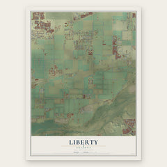

More maps nearby: Wintersburg, Citrus Park, Litchfield Park, Tonopah and Surprise.
The art of mapping a place
How This Map Was Made
Real places. Remarkable detail. Discover the layers that turn geographic data into a map of home.

The view from above
Aerial imagery reveals the character of the land: woodland, open fields, and the patterns of a place.

The shape of the land
Elevation data brings hills, valleys, and subtle changes in the landscape into view.

The details of home
Roads, waterways, and building footprints come together to make the map feel unmistakably local.

Geography becomes art
Considered color, shading, and typography bring the layers together in a map made for your wall.


Process illustrated with Mendon, Massachusetts. Aerial imagery: USDA NAIP. Terrain: USGS 3D Elevation Program. Map details and finished artwork: KNOWOL.
The Details
About This Print
Choose an archival matte print, or a black or white Ayous wood frame. The archival matte print is unframed.
Select your size and finish above to see the matching product image and price.
Materials & Craftsmanship
A contemporary map with the character of a classic atlas, printed on archival matte paper. Optional frames are made from Ayous wood.
Your printed map does not include the watermark shown in the full-map preview.
Shipping & Delivery
Free shipping within the United States. Every print is made to order in the USA.
Buying a gift? Add a note in your cart and we'll include it. We never put prices in the package.
Prints ship within 2 to 3 business days. Allow 7 to 10 days total from ordering for delivery. Timing may vary during holidays or periods of high order volume.
Read our shipping policy.
Returns and damaged prints
Each print is made to order. Change-of-mind refunds are not available after production.
If your print arrives damaged, misprinted or incorrect, contact support@knowol.com within 30 days of receiving it. Include your order number, photos and a description of the issue.
Read our full refund and replacement policy. For questions about your order, email support@knowol.com.