
Search for another town

Free U.S. delivery 7 to 10 days after you order
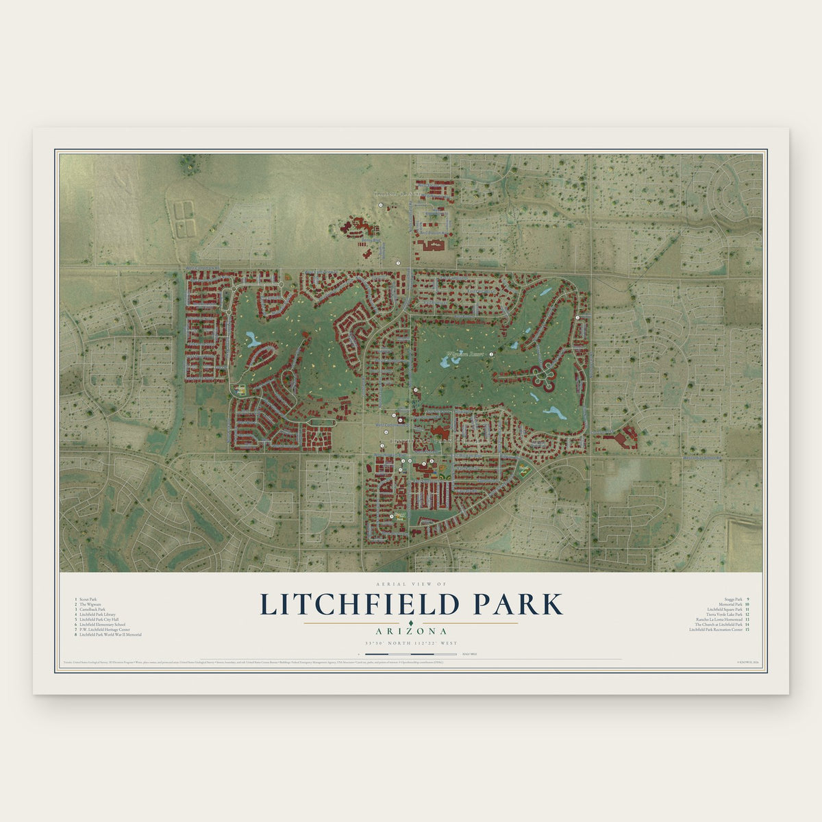
Litchfield Park, Arizona Map Art
Building by building, with labeled streets and shaded relief.
12" x 18" Archival Matte Print
A Map of Home. A Work of Art.
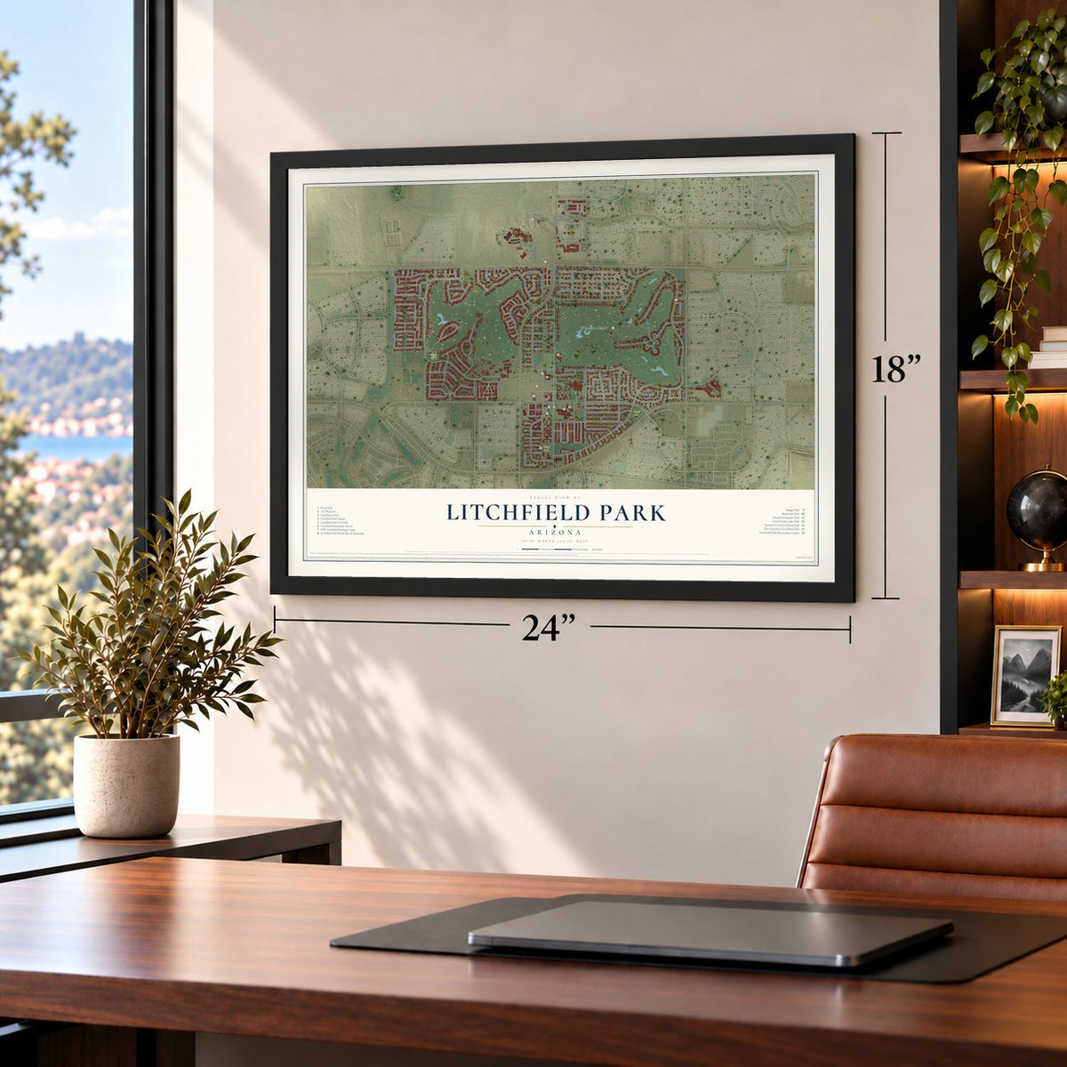
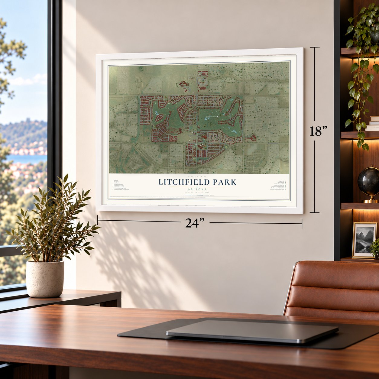
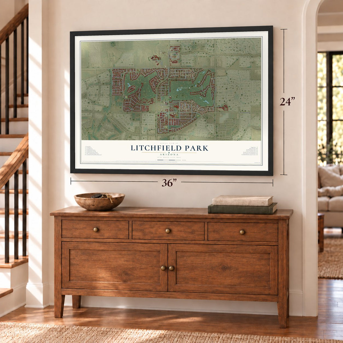
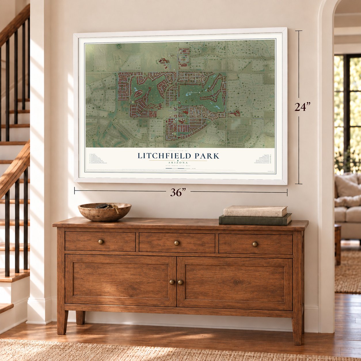
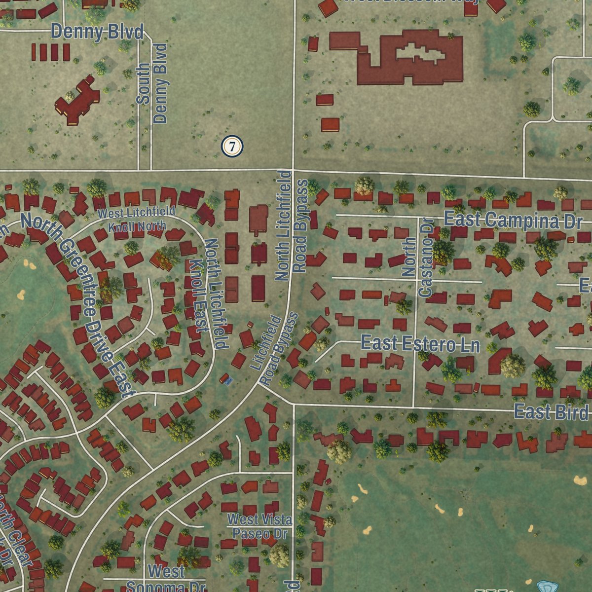
Explore Litchfield Park, Arizona from a whole new perspective. Created using aerial imagery and detailed geographic data, this map captures Litchfield Park building by building, with labeled streets, familiar landmarks, and shaded topographical relief that highlights the natural contours of the landscape.
Combining modern data with the timeless character of a vintage atlas, this map is just as interesting up close as it is beautiful on the wall. Whether you grew up in Litchfield Park, spent memorable years there, or call it home today, this unique map is a great way to celebrate a place that means something to you. Zoom in on the preview to look for your street, and then order a print to put your memories on the wall.

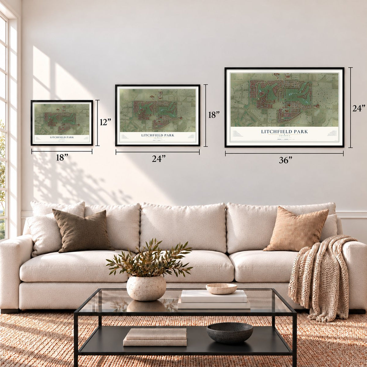
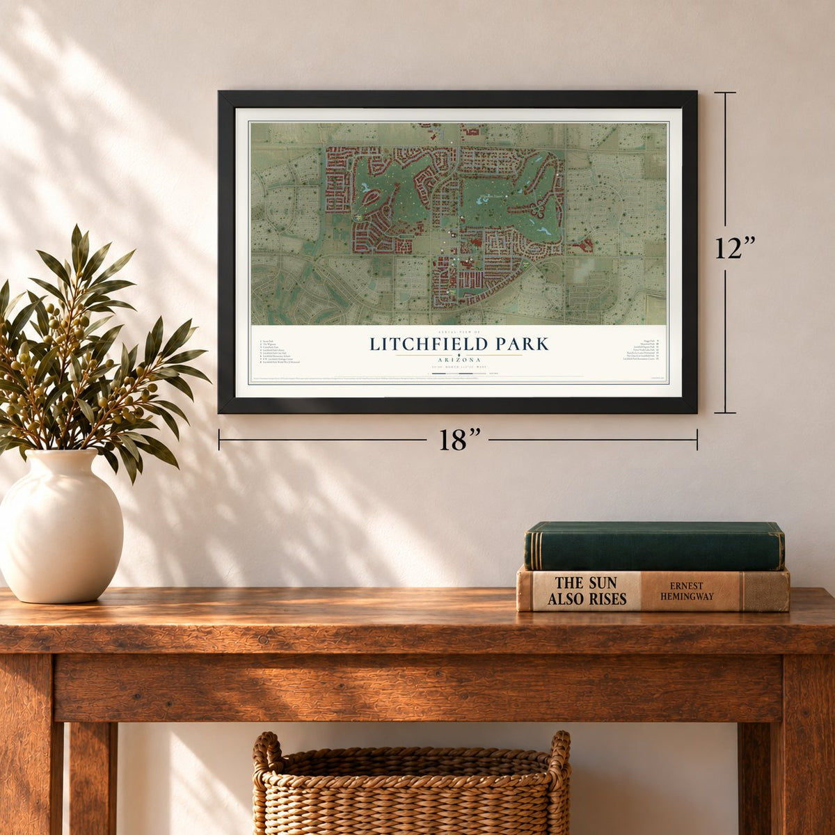
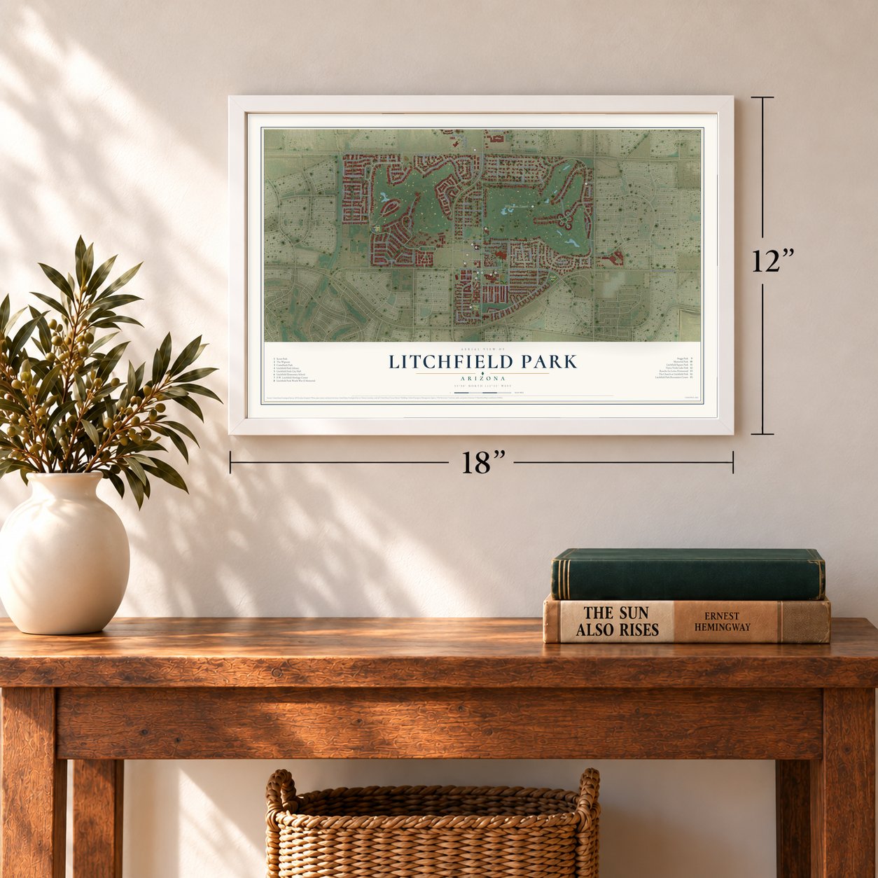
Three ways to hang it
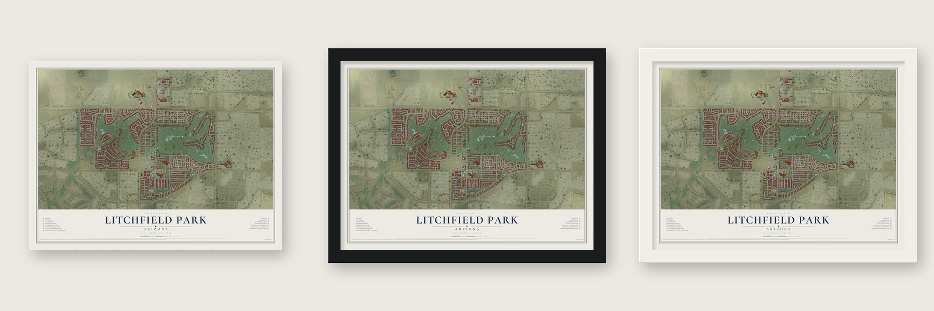
Unframed archival matte, a black wood frame or a white wood frame.
Up close
Geography Worth Displaying
This map was created using accurate cartographic data and authoritative geographic sources, including the U.S. Geological Survey (USGS) and FEMA. The map brings together terrain, waterways, roads, and building detail. The majority of the streets are labeled, houses are accurately depicted, and the topography is derived from government sources. Combining local data with carefully composed color and shading leads to this beautifully detailed Litchfield Park artwork for your wall.
Rather than simply showing street outlines, we’ve included as many of the street names as we could reasonably fit on the map while keeping their names legible. Zoom in on the high resolution preview to see exactly what’s on the map. We truly set out to create a statement piece for anyone who loves Litchfield Park. So whether it’s for you, or a gift for someone you love, we hope this map of Litchfield Park brings back fond memories.
Explore the full map of Litchfield Park, Arizona and read about the local places it shows.
Find your street
Names on the Litchfield Park map
Every name below is printed on this map. Look for your street, your school, the park where you played, or the pond down the road.
Places and landmarks6
- Litchfield Park City Hall
- LaLoma Ranch
- Allepo Park
- Turtle Park
- Staggs Park
- Wigwam Resort
Streets and roads137
- Village Parkway
- West Village Parkway
- East Wigwam Boulevard
- Luna Place
- Villa Nueva Drive
- Oro Vis
- South Villa Nueva Drive
- Vista Verde Drive
- North Old Litchfield Road
- Cascada Road
- East Acacia Circle
- Litchfield Road
- South Neolin Avenue
- Wigwam Boulevard
- West Azure Lane
- Desert Avenue
- South Desert Avenue
- East Sagebrush Street
- West Camelback Road
- North Dysart Road
- Fairway Drive
- East Bird Lane
- North Litchfield Road
- North La Loma Avenue
- South Old Litchfield Road
- North Oro Vis
- West Indian School Road
- East Campina Drive
- East Palm Street
- East Cercado Lane
Show all 137 streets
- East Estero Lane
- Denny Boulevard
- West Valley View Drive
- North Park Avenue
- North Greentree Drive East
- North Florence Avenue
- West Cottonwood Street
- Sagebrush Street
- Parkview
- West Wigwam Boulevard
- Las Cruces Drive
- West Campbell Avenue
- North Plaza Drive
- West Sarano Terrace
- Mountain View Drive
- West Harvest Avenue
- West Elm Court
- Jasmine Way
- Barranco Drive
- West Desert Avenue
- Juniper Lane
- Luna Drive South
- Luna Drive North
- Bahia Lane East
- Lajolla Drive
- West Escondido Drive North
- Escondito Road West
- West Escondido Drive South
- North Village Parkway
- Escondido Place
- North Litchfield Knoll East
- Ancora Drive West
- North Neolin Avenue
- Aldea Drive South
- West Greentree Drive South
- East Fairway Drive
- West Hidden Terrace Lp
- North Cloverfield Circle
- South Denny Boulevard
- North Clear Creek Drive
- North Palo Verde Avenue
- North Robles Drive
- North Castano Drive
- North Arbor Lane
- West Bloomington Street
- Acacia Circle
- West Blossom Way
- Aldea Drive North
- East Goodyear Road
- Bahia Lane West
- Laguna Drive West
- North Pajaro Lane
- Laguna Drive East
- North Litchfield Road Bypass
- Aldea Road East
- Aldea Road West
- West Grove Street
- North Vineyard Lane
- West Orchard Lane
- Sierra Hermosa Drive
- West Palo Brea
- West Alegre Drive
- Luna Road West
- North Tiller Drive
- Val Verde Circle East
- West Sonoma Drive
- Redondo Drive East
- West Maya Drive
- Torreon Drive East
- Trontera Circle
- Val Verde Circle
- Valley Glen
- West Little Street
- Luna Court
- Lila Circle
- Azul Circle
- Otero Circle
- Laguna Royale Drive
- Litchfield Road Bypass
- South Florence Avenue
- Ancora Drive South
- West Tainter Drive
- West Fairway Drive
- East Campina Lane
- West Vista Paseo Drive
- North Ginning Drive
- West Mesquite Lane
- West Sycamore Lane
- Redondo Drive West
- Cardeno Circle
- Castillo Drive East
- Wigwam Lane
- Madera Circle
- Luna Circle
- Garnet Circle
- West Litchfield Knoll North
- Ancora Drive North
- West Sycamore Court
- West Llano Drive
- East Villa Nueva Drive
- South Serrano Drive
- West Brinton Avenue
- Castillo Drive West
- Aldea Circle
- Aldea Court
- Paladin Circle
- Cabrito Circle
Names are listed as they appear on the printed map. Zoom into the product photos to find them.
About Litchfield Park, Arizona
Litchfield Park is a city of 6,847 people in Maricopa County, 19 miles west of Phoenix. It began in 1916, when Paul Weeks Litchfield of Goodyear came looking for land to grow long-staple cotton, which made the rubber in pneumatic tires stronger. The boll weevil had ruined the Sea Islands crop off Georgia, and U-boat attacks in World War I had cut the supply from Egypt.
Local farmers refused to plant the cotton, so Goodyear formed the Southwest Cotton Company with Litchfield at its head. The company bought roughly 36,000 acres spread through the Salt River Valley, often paying $25 an acre, and 5,000 of those acres made up Litchfield Ranch. Mexican and Native American workers turned the desert into fields, and Litchfield's cousin Kenneth McMicken ran the farms through the year. The Postal Service approved the name Litchfield Park in 1926, and the city incorporated in 1987 with Charles Salem as its first mayor.
- The Wigwam, from 1918In 1917 Litchfield marked off land as a burial ground for people who worked at Goodyear Farms and the Wigwam. The next year Goodyear put up the Wigwam Organizational House to lodge the ranch's suppliers. That building was the start of the Wigwam Resort, which opened its doors to the public in 1929.
- A church copied from a casinoIn 1919 Litchfield had the St. Thomas Aquinas Mission Church built, mostly for the Mexican farm workers, and oversaw the building of the Litchfield Elementary Schools. Later, while visiting a casino in Ensenada, Mexico, he admired its interior so much that he sketched it in detail. That drawing became the pattern for the sanctuary of The Church at Litchfield Park, which a Goodyear crew built in 1938.
- A city of 90,000 plannedIn 1964 Goodyear set up the Litchfield Park Land and Development Co. to grow the town to 90,000 residents. Its plan included 25,000 homes, a college, a junior college and dozens of schools, costing at least $750 million, and architect Victor Gruen designed some buildings. Goodyear abandoned the plan unfinished and sold what land it could. Lots had been sold right to the curb, so the city still needs owners' consent to add a sidewalk.
- Goodyear's first CEOLitchfield rose to be Goodyear's president, chairman and first CEO. Under his leadership the company built the airships USS Akron and USS Macon.
- Rancho La LomaIn retirement Litchfield lived at Rancho La Loma, on a hill beside Litchfield Road. In 1958 he moved to a new home on Fairway Drive, where he died in 1959. Edith, his daughter, and her husband, Wally Denny, stayed on at the ranch for the rest of their lives, dying in 2001 and 2008. Afterward their estate proposed giving the homestead to the city.
Keep exploring Arizona
Litchfield Park is one of 528 Arizona towns we've mapped. Every dot on the map is a print of its own.
The search covers every state, Arizona first.
Near Litchfield Park
Order 2 or more town maps and save 10%. Shown in the size and finish you picked above, so they hang as a set.
- Citrus Park 12" x 18" / Archival Matte Print $39.99
- El Mirage 12" x 18" / Archival Matte Print $39.99
- Youngtown 12" x 18" / Archival Matte Print $39.99
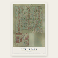
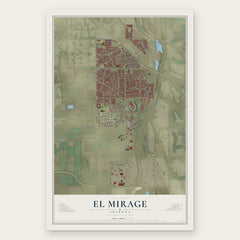

More maps nearby: Tolleson, Maryvale, Sun City, Glendale and Liberty.
The art of mapping a place
How This Map Was Made
Real places. Remarkable detail. Discover the layers that turn geographic data into a map of home.

The view from above
Aerial imagery reveals the character of the land: woodland, open fields, and the patterns of a place.

The shape of the land
Elevation data brings hills, valleys, and subtle changes in the landscape into view.

The details of home
Roads, waterways, and building footprints come together to make the map feel unmistakably local.

Geography becomes art
Considered color, shading, and typography bring the layers together in a map made for your wall.


Process illustrated with Mendon, Massachusetts. Aerial imagery: USDA NAIP. Terrain: USGS 3D Elevation Program. Map details and finished artwork: KNOWOL.
The Details
About This Print
Choose an archival matte print, or a black or white Ayous wood frame. The archival matte print is unframed.
Select your size and finish above to see the matching product image and price.
Materials & Craftsmanship
A contemporary map with the character of a classic atlas, printed on archival matte paper. Optional frames are made from Ayous wood.
Your printed map does not include the watermark shown in the full-map preview.
Shipping & Delivery
Free shipping within the United States. Every print is made to order in the USA.
Buying a gift? Add a note in your cart and we'll include it. We never put prices in the package.
Prints ship within 2 to 3 business days. Allow 7 to 10 days total from ordering for delivery. Timing may vary during holidays or periods of high order volume.
Read our shipping policy.
Returns and damaged prints
Each print is made to order. Change-of-mind refunds are not available after production.
If your print arrives damaged, misprinted or incorrect, contact support@knowol.com within 30 days of receiving it. Include your order number, photos and a description of the issue.
Read our full refund and replacement policy. For questions about your order, email support@knowol.com.