
Search for another town





Free U.S. delivery 7 to 10 days after you order
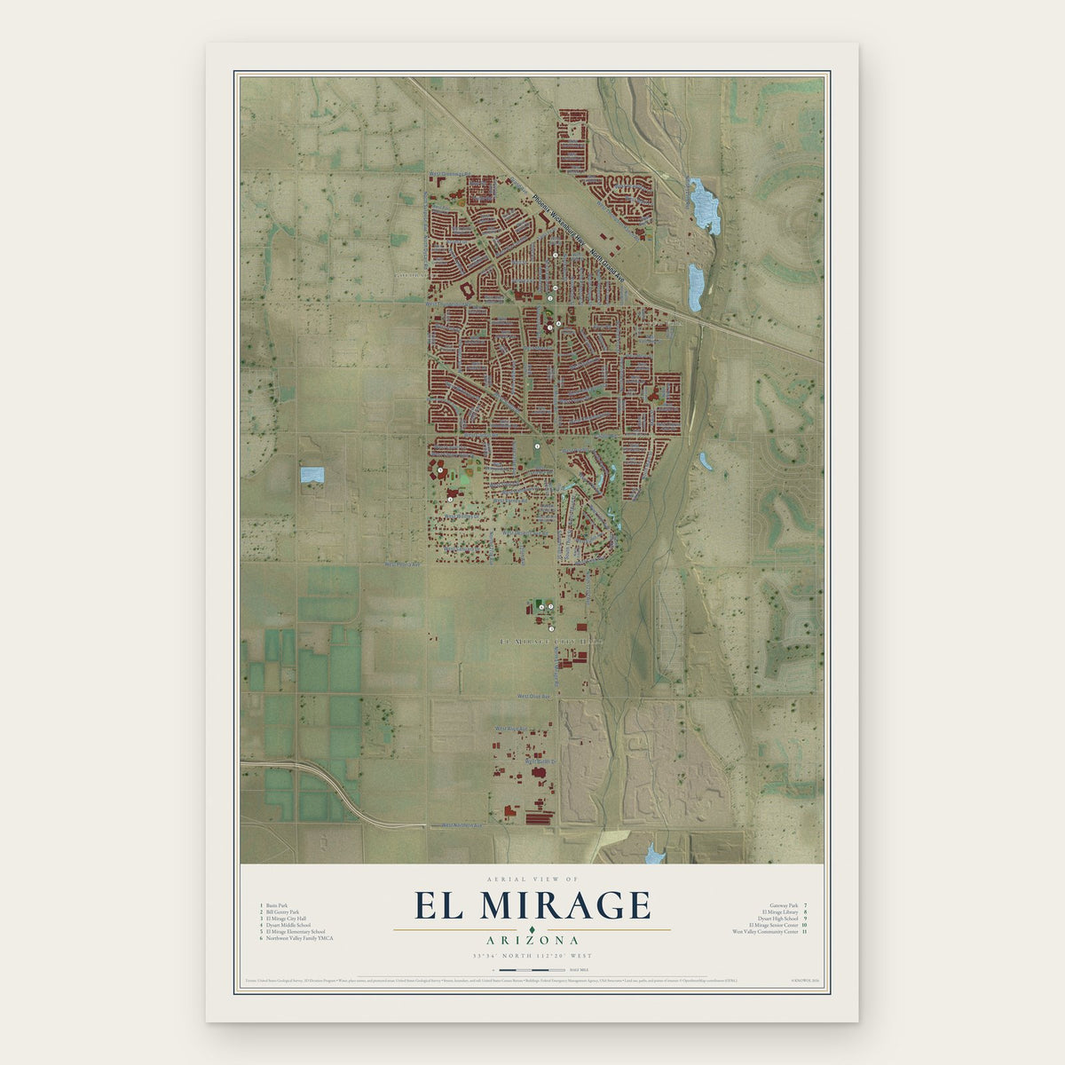
El Mirage, Arizona Map Art
Building by building, with labeled streets and shaded relief.
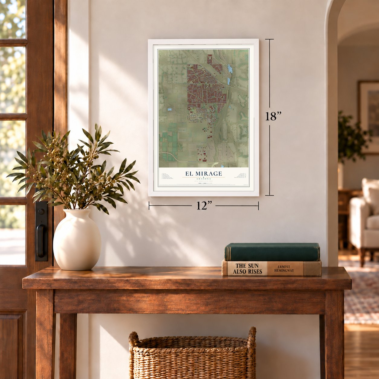
12" x 18" Archival Matte Print
A Map of Home. A Work of Art.
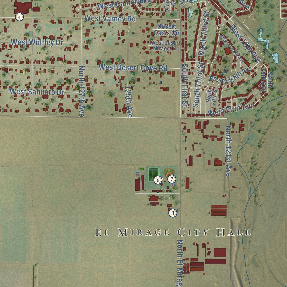
Explore El Mirage, Arizona from a whole new perspective. Created using aerial imagery and detailed geographic data, this map captures El Mirage building by building, with labeled streets, familiar landmarks, and shaded topographical relief that highlights the natural contours of the landscape.
Combining modern data with the timeless character of a vintage atlas, this map is just as interesting up close as it is beautiful on the wall. Whether you grew up in El Mirage, spent memorable years there, or call it home today, this unique map is a great way to celebrate a place that means something to you. Zoom in on the preview to look for your street, and then order a print to put your memories on the wall.

Three ways to hang it
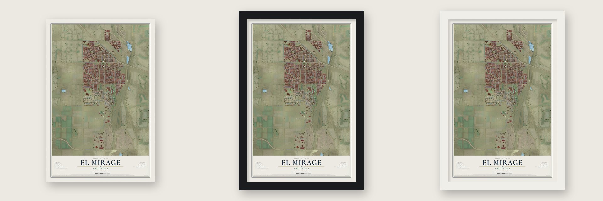
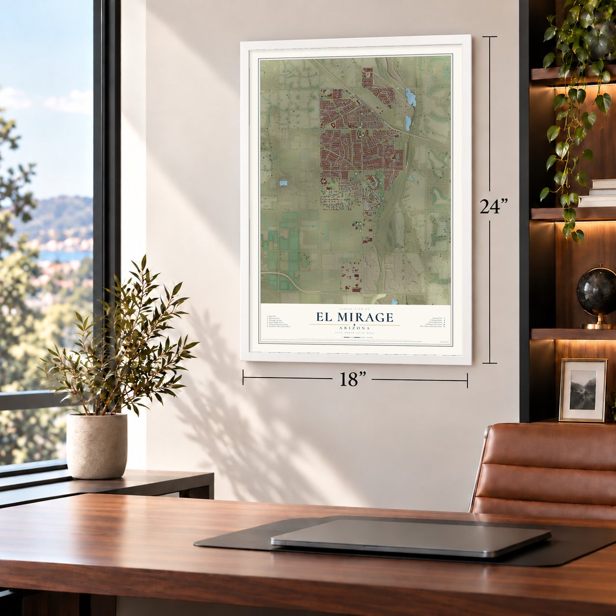
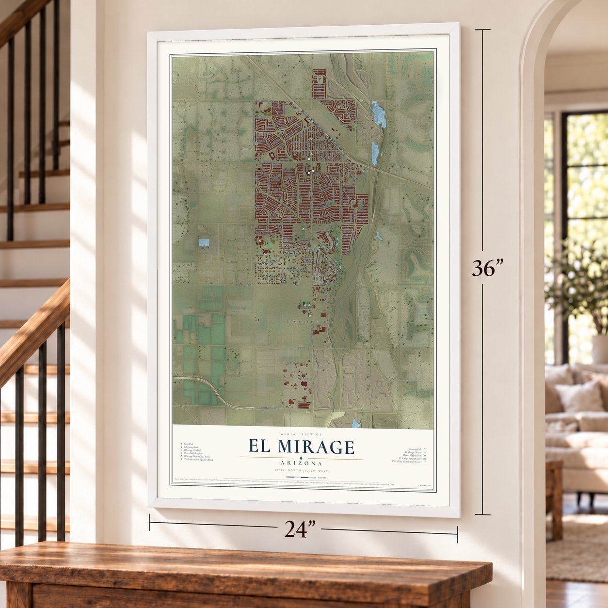
Unframed archival matte, a black wood frame or a white wood frame.
Up close
Geography Worth Displaying
This map was created using accurate cartographic data and authoritative geographic sources, including the U.S. Geological Survey (USGS) and FEMA. The map brings together terrain, waterways, roads, and building detail. The majority of the streets are labeled, houses are accurately depicted, and the topography is derived from government sources. Combining local data with carefully composed color and shading leads to this beautifully detailed El Mirage artwork for your wall.
Rather than simply showing street outlines, we’ve included as many of the street names as we could reasonably fit on the map while keeping their names legible. Zoom in on the high resolution preview to see exactly what’s on the map. We truly set out to create a statement piece for anyone who loves El Mirage. So whether it’s for you, or a gift for someone you love, we hope this map of El Mirage brings back fond memories.
Explore the full map of El Mirage, Arizona and read about the local places it shows.

Find your street
Names on the El Mirage map
Every name below is printed on this map. Look for your street, your school, the park where you played, or the pond down the road.
Places and landmarks3
- El Mirage City Hall
- Goldbadge
- Agua Fria
Streets and roads146
- North Grand Avenue
- Phoenix-Wickenburg Highway
- North Main Street
- Main Street
- West Windrose Drive
- West Scotts Drive
- North El Frio Street
- North Poppy Street
- West Dahlia Drive
- West First Avenue
- El Mirage Road
- South Third Street
- North 115th Avenue
- North Third Street
- North El Mirage Road
- Grand Avenue
- West 13th Avenue
- West Thunderbird Road
- West Ash Street
- North Park Place
- North Reese Avenue
- West Flores Drive
- North Dysart Road
- North 127th Avenue
- North 129th Avenue
- West Olive Avenue
- West Peoria Avenue
- West Columbine Drive
- North 126th Avenue
- West Northern Avenue
Show all 146 streets
- West Thompson Ranch Road
- West Rosewood Drive
- North Palm Street
- North 129th Drive
- North Alto Street
- West Varney Road
- West Cactus Road
- West Desert Cove Road
- West Via Camille
- North Surprise Avenue
- Acoma Drive
- West Greenway Road
- Ventura Street
- North Primrose Street
- West Laurel Lane
- Cactus Road
- 125th Avenue
- North 125th Avenue
- West Myer Lane
- North 121st Avenue
- West Sierra Street
- West Cherry Hills Drive
- South First Street
- West Cameron Drive
- West Sahuaro Drive
- West Wolfley Drive
- West Butler Drive
- West Alice Avenue
- North Verbena Street
- River Road
- West Acapulco Lane
- North First Avenue
- Second Avenue
- North 124th Avenue
- Third Avenue
- Well Street
- West Maui Lane
- West Pueblo
- Poppy Street
- West 17th Avenue
- Hopi Road
- Tonto Road
- South 13th Avenue
- West Aster Drive
- North 123rd Drive
- 122nd Lane
- North Pablo Street
- West Banff Lane
- North 124th Lane
- North 127th Drive
- West Valentine Street
- West Bloomfield Road
- West Corrine Drive
- West Charter Oak Road
- West Soledad Street
- North 130th Lane
- West Dreyfus Drive
- North 127th Lane
- West Paradise Drive
- West Redfield Road
- West Willow Avenue
- West Surrey Avenue
- West Canterbury Drive
- North Luna Street
- West Sunnyside Drive
- North Tonya Street
- West Saint Moritz Lane
- West Well Street
- West Lisbon Lane
- North Sunset Road
- Santa Fe Drive
- West Sharon Drive
- West Larkspur Drive
- North 123rd Lane
- West Hearn Drive
- North 128th Avenue
- West Eighth Avenue
- West Meyer Lane
- North Fuller Drive
- West Ocotillo Lane
- West Port Royal Lane
- West End Street
- West Ironwood Street
- West Desert Lane
- West Boca Raton Road
- North 116th Avenue
- North Honcho Drive
- North 119th Avenue
- Desert Oasis Circle
- Pablo Street
- First Street
- West Parque del Sol Boulevard
- West Larkspur Road
- West Mandalay Lane
- North Olive Street
- West Crocus Drive
- West Caribbean Lane
- North 128th Drive
- West Evans Drive
- North Fifth Street
- West Desert Mirage Circle
- West Surrey Street
- 122nd Drive
- West Wethersfield Road
- North West Main Street
- West Valentine Avenue
- North Tanya Street
- West Pershing Street
- North Cesar Chavez Drive
- North 130th Avenue
- West Twelfth Avenue
- West Santa Fe Lane
- North 125th Lane
- West Poinsettia Drive
- North 126th Drive
- West Ester Drive
Names are listed as they appear on the printed map. Zoom into the product photos to find them.
About El Mirage, Arizona
El Mirage is a city of 35,805 people in Maricopa County, beside the Agua Fria River northwest of Phoenix. Long before any town stood here, the Hohokam lived on this land and dug irrigation ditches with nothing but stone tools and organized labor, which is why people called them the Canal Builders.
In the early 1930s migrant farm workers made their homes on the river's western side, and workers from Mexico arrived to dig the canals and gather the first crops. On June 25, 1951, the settlement incorporated as a town, and in 1983 its voters made it a city in a special election. Farming still matters here, though industry has grown alongside it in recent decades.
- A fight over 2,000 acresIn 1977 El Mirage annexed 2,000 acres for a planned community with apartments, shopping centers and industry. Attorney General Bruce Babbitt sued right away, arguing that the land sat too near Luke Air Force Base. He lost in court, but the case pushed Glendale and Goodyear to work together and buy up land around the base so no other city could annex it.
- The resort that never cameIn the early eighties the city drew up a redevelopment plan built around a $20 million resort and convention center with a golf course, plus talk of a spring training ballpark, a medical center and an auto mall. The site sat only five miles north of the base runway, and Air Force and government officials turned opinion against it. City leaders traveled to Washington to argue the base could have objected sooner, but nothing was ever built there.
- Against the F-35 in 2009When Luke Air Force Base bid for the new F-35 fighter jets in 2009, most nearby cities backed the base. El Mirage stood apart and spoke against it, because city leaders believed the base had already cost the city its chance at growth and would keep doing so.
- Dysart High since 1963El Mirage Elementary opened its doors in 1958. Dysart High School came five years later, in 1963, and it is still the one high school in the city serving grades nine to twelve. In the 2021 to 2022 school year it enrolled 1,467 students, with a graduation rate of 97 percent.
Keep exploring Arizona
El Mirage is one of 519 Arizona towns we've mapped. Every dot on the map is a print of its own.
The search covers every state, Arizona first.
Near El Mirage
Order 2 or more town maps and save 10%. Shown in the size and finish you picked above, so they hang as a set.
- Youngtown 12" x 18" / Archival Matte Print $39.99
- Sun City 12" x 18" / Archival Matte Print $39.99
- Sun City West 12" x 18" / Archival Matte Print $39.99


More maps nearby: Litchfield Park, Citrus Park, Glendale, Surprise and Maryvale.
The art of mapping a place
How This Map Was Made
Real places. Remarkable detail. Discover the layers that turn geographic data into a map of home.

The view from above
Aerial imagery reveals the character of the land: woodland, open fields, and the patterns of a place.

The shape of the land
Elevation data brings hills, valleys, and subtle changes in the landscape into view.

The details of home
Roads, waterways, and building footprints come together to make the map feel unmistakably local.

Geography becomes art
Considered color, shading, and typography bring the layers together in a map made for your wall.


Process illustrated with Mendon, Massachusetts. Aerial imagery: USDA NAIP. Terrain: USGS 3D Elevation Program. Map details and finished artwork: KNOWOL.
The Details
About This Print
Choose an archival matte print, or a black or white Ayous wood frame. The archival matte print is unframed.
Select your size and finish above to see the matching product image and price.
Materials & Craftsmanship
A contemporary map with the character of a classic atlas, printed on archival matte paper. Optional frames are made from Ayous wood.
Your printed map does not include the watermark shown in the full-map preview.
Shipping & Delivery
Free shipping within the United States. Every print is made to order in the USA.
Buying a gift? Add a note in your cart and we'll include it. We never put prices in the package.
Prints ship within 2 to 3 business days. Allow 7 to 10 days total from ordering for delivery. Timing may vary during holidays or periods of high order volume.
Read our shipping policy.
Returns and damaged prints
Each print is made to order. Change-of-mind refunds are not available after production.
If your print arrives damaged, misprinted or incorrect, contact support@knowol.com within 30 days of receiving it. Include your order number, photos and a description of the issue.
Read our full refund and replacement policy. For questions about your order, email support@knowol.com.